The best cycling routes around Saint-André-De-Boëge
4.5
(291)
5,883
riders
221
rides
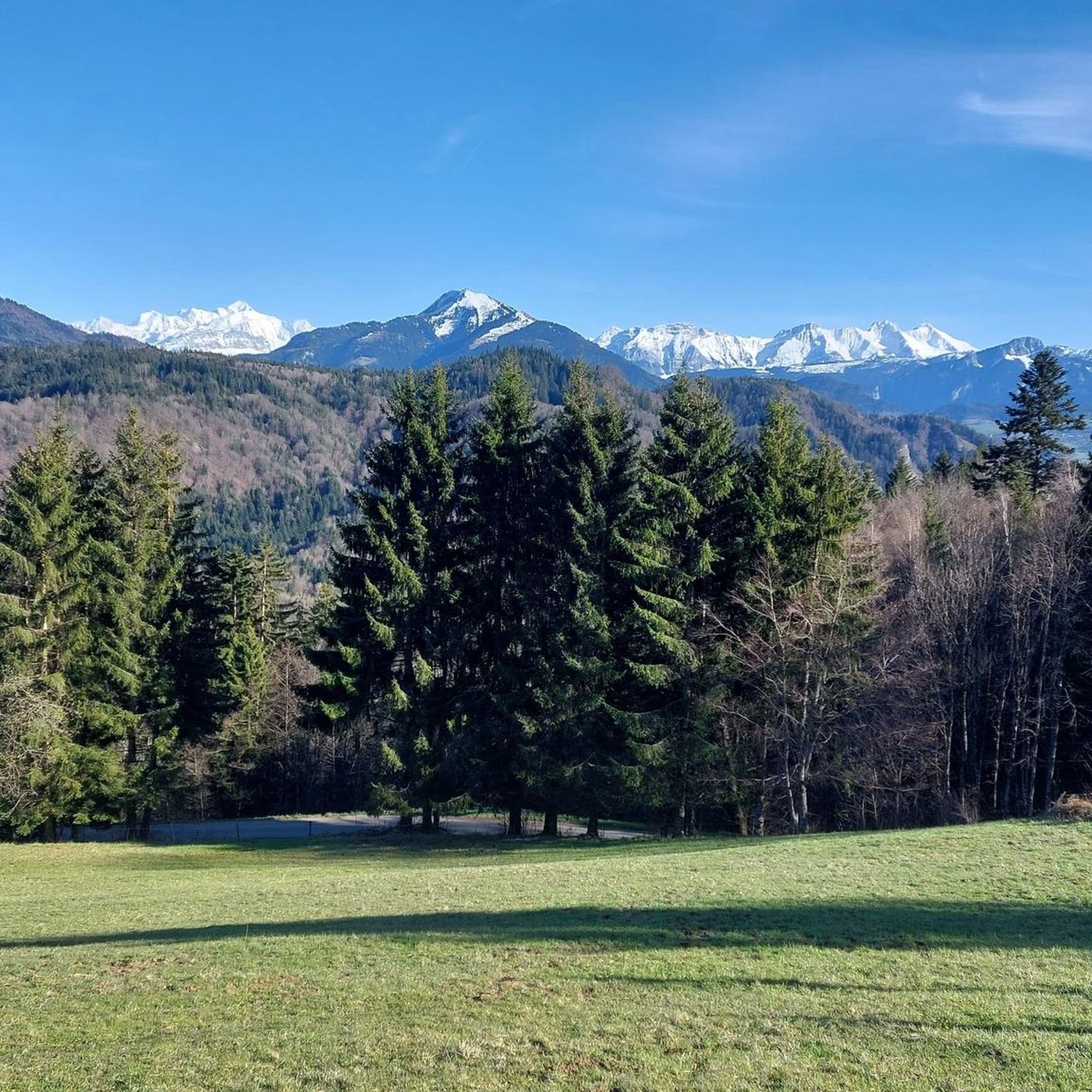
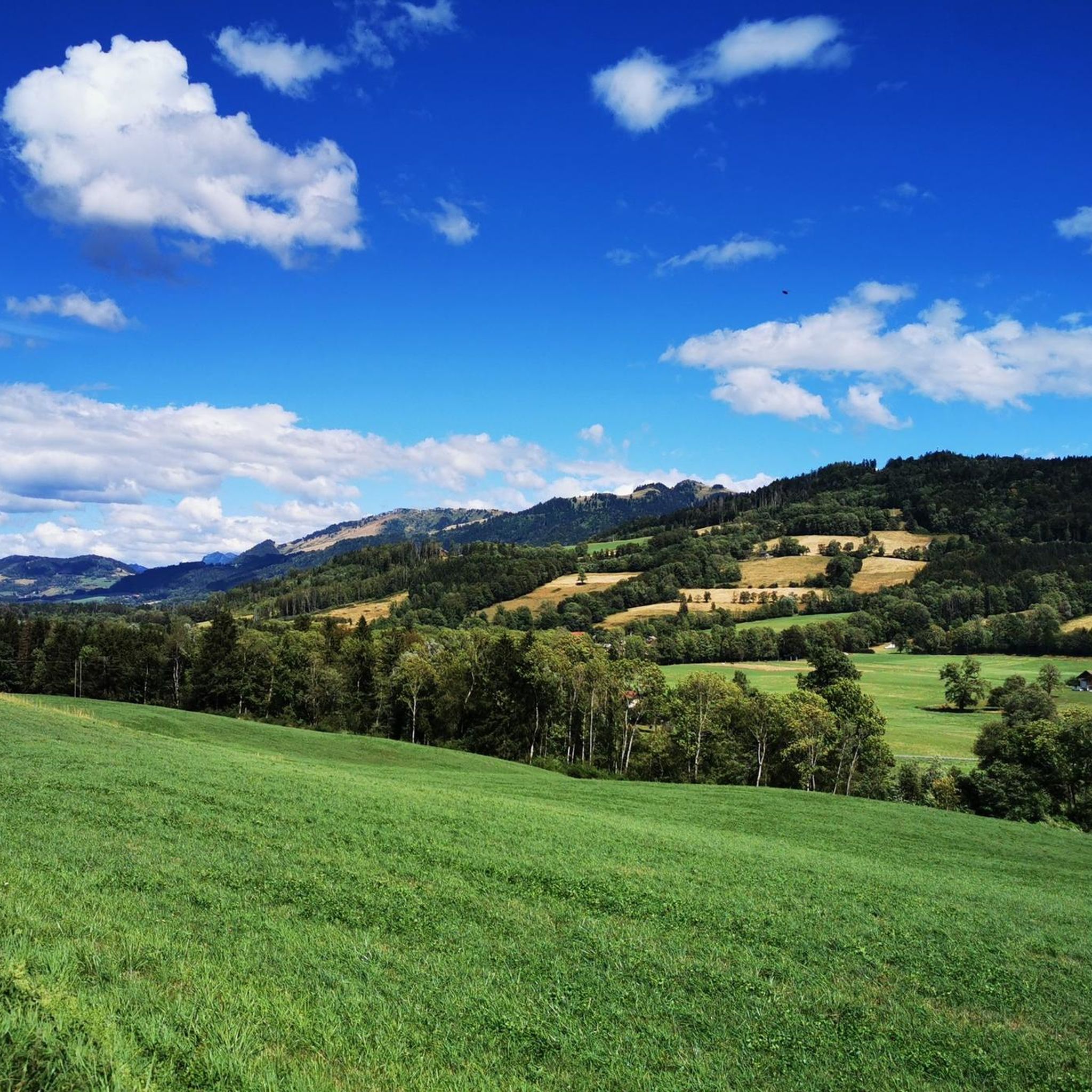
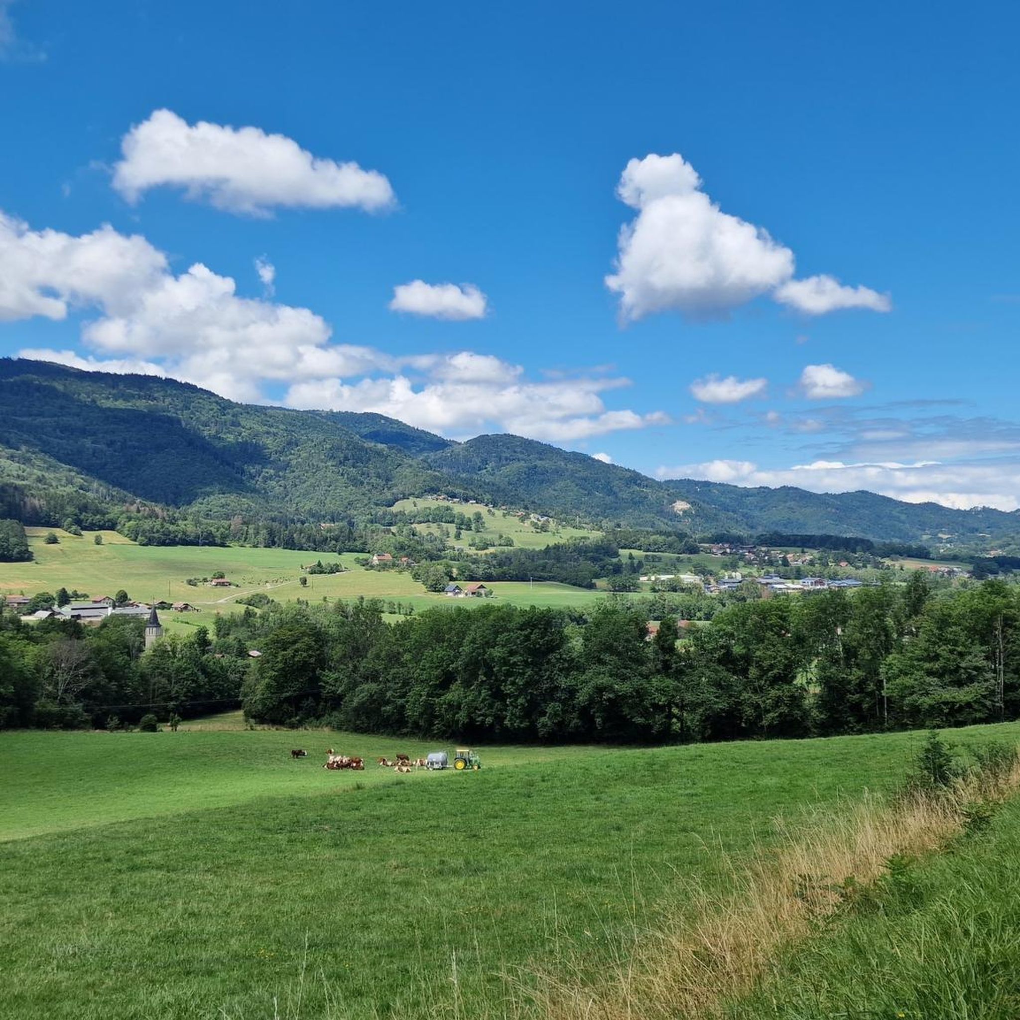
Touring cycling routes around Saint-André-De-Boëge are set within the Vallée Verte of Haute-Savoie, France, characterized by diverse landscapes and challenging terrain. The region features a network of mountain passes, including Col de Cou and Col de Terramont, offering varied routes for cyclists. The Menoge River flows through the area, which is surrounded by mountains and wooded pastures. Expansive panoramas of Lake Geneva and the Mont Blanc massif are accessible from various viewpoints.
Best touring cycling routes around Saint-André-De-Boëge
- The most…
Last updated: May 23, 2026
4.7
(3)
109
riders
43.9km
02:56
680m
680m
Hard bike ride. Very good fitness required. Mostly paved surfaces. Suitable for all skill levels.
5.0
(2)
53
riders
29.4km
02:11
640m
640m
Hard bike ride. Very good fitness required. Mostly paved surfaces. Suitable for all skill levels.

Sign up for free
21
riders
18.7km
01:37
650m
660m
Hard bike ride. Very good fitness required. Mostly paved surfaces. Suitable for all skill levels.
23
riders
25.8km
02:06
270m
270m
Moderate bike ride. Good fitness required. Mostly paved surfaces. Suitable for all skill levels.
15
riders
48.2km
03:23
900m
900m
Hard bike ride. Very good fitness required. Mostly paved surfaces. Suitable for all skill levels.
Get access to more routes and recommendations from other explorers.
Sign up for free
Already have an account?
Our route recommendations are based on thousands of hikes, rides, and runs completed by other people on komoot.
Start today with a free account
Your next adventure awaits.
Login or Signup

Tips from the Community

Take a little detour 🤩 beautiful lake!! Take a walk around it!
0
0


Beautiful view from the restaurant of the same name
0
0


The Col de Cou, at an altitude of 1,117 metres, takes you from the Vallée Verte to the Côte-en-Chablais region. Several roads lead there, which allows you to train by varying the routes and difficulties. The hardest climb is the one on the western slope from Fessy, with seven kilometres at an average of 7.5%.
1
0
Frequently Asked Questions
How many touring cycling routes are available around Saint-André-De-Boëge?
There are over 220 touring cycling routes around Saint-André-De-Boëge, offering a wide range of options for different skill levels and preferences.
What are the difficulty levels of touring cycling routes in the area?
The routes cater to various abilities. You'll find approximately 25 easy routes, 77 moderate routes, and 118 difficult routes, ensuring there's a challenge for every cyclist.
What kind of terrain can I expect on touring cycling routes near Saint-André-De-Boëge?
The region offers diverse terrain, from serene lakeside routes and open meadows to wooded slopes and exposed ridgelines. You'll encounter varied alpine landscapes, including long ascents and sweeping descents, with routes often following river valleys like the Menoge.
Are there any notable natural features or viewpoints to see while cycling?
Absolutely. Many routes offer stunning panoramic views. Mont Salève, known as the 'Balcony of Geneva,' provides exceptional vistas over Geneva, the Jura Mountains, Lake Geneva, and even the Mont-Blanc massif. You can also explore areas around the Menoge river, which offers picturesque scenery.
Are there any specific mountain passes I can cycle through?
Yes, the area is known for its mountain passes. Notable passes include Col de Cou, Jambaz Pass, Col de Saxel, and Terramont Pass. These passes often feature in challenging and rewarding routes.
Are there any family-friendly touring cycling routes?
While many routes in Saint-André-De-Boëge involve challenging terrain, there are approximately 25 easy routes suitable for families or those seeking a more relaxed ride. These routes often follow flatter sections along river valleys or around smaller lakes.
What is the best time of year for touring cycling in Saint-André-De-Boëge?
The best time for touring cycling is typically from spring through autumn when the weather is milder and the mountain passes are clear of snow. Summer offers warm conditions, while spring and autumn provide pleasant temperatures and beautiful scenery.
What do other touring cyclists say about the routes in Saint-André-De-Boëge?
The routes are highly rated by the komoot community, with an average score of 4.4 stars from over 320 reviews. Cyclists often praise the diverse landscapes, challenging climbs, and the rewarding panoramic views over Lake Geneva and the surrounding mountains.
Are there any circular touring cycling routes available?
Yes, many routes are designed as loops. For example, the difficult route Lake Machilly – Saxel pass loop from Boëge is a popular circular option. Another challenging loop is the Col de Cou – Col du Perret loop from Boëge.
Where can I find parking for touring cycling routes?
Parking is generally available in the villages and towns where routes begin, such as Boëge or Bogève. Specific parking information is often detailed on individual route pages on komoot.
Can I access touring cycling routes using public transport?
While Saint-André-De-Boëge is nestled in the Haute-Savoie, public transport options to specific trailheads might be limited. It's advisable to check local bus schedules or consider driving to a starting point, especially for routes in more remote mountain areas.
Are there any places to eat or drink along the routes?
The region is dotted with charming villages that offer opportunities to refuel. You can find mountain cafés and roadside farm shops in many of these communities, providing a chance to experience local culture and cuisine.
Most popular routes around Saint-André-De-Boëge
Most popular attractions around Saint-André-De-Boëge

Get inspired with the komoot mobile app


Explore more
Browse the best Cycling routes in other regions.
