The best mountain hikes around Burdignin
5.0
(1)
7
hikers
4
hikes
Mountaineering routes around Burdignin are situated within the Haute-Savoie region of France, providing access to diverse alpine landscapes. The area is characterized by its proximity to significant mountain ranges, including the Mont Blanc Massif, and features numerous peaks, mountain passes, and valleys. Terrain varies from forested slopes to more exposed alpine environments, offering a range of challenges for mountaineers.
Best mountaineering routes around Burdignin
- The most popular mountaineering route is Col de Seytrouset – Col de la Balme loop from…
Last updated: May 25, 2026
5.0
(1)
2
hikers
9.41km
04:29
740m
740m
Moderate mountaineering route. Good fitness required. Mostly accessible paths. Sure-footedness required.
2
hikers
10.0km
03:16
440m
440m
Moderate mountaineering route. Good fitness required. Mostly accessible paths. Sure-footedness required.

Sign up for free
1
hikers
8.24km
02:52
390m
390m
Hard mountaineering route. Good fitness required. Sure-footedness, sturdy shoes and alpine experience required.
Our route recommendations are based on thousands of hikes, rides, and runs completed by other people on komoot.
Start today with a free account
Your next adventure awaits.
Login or Signup
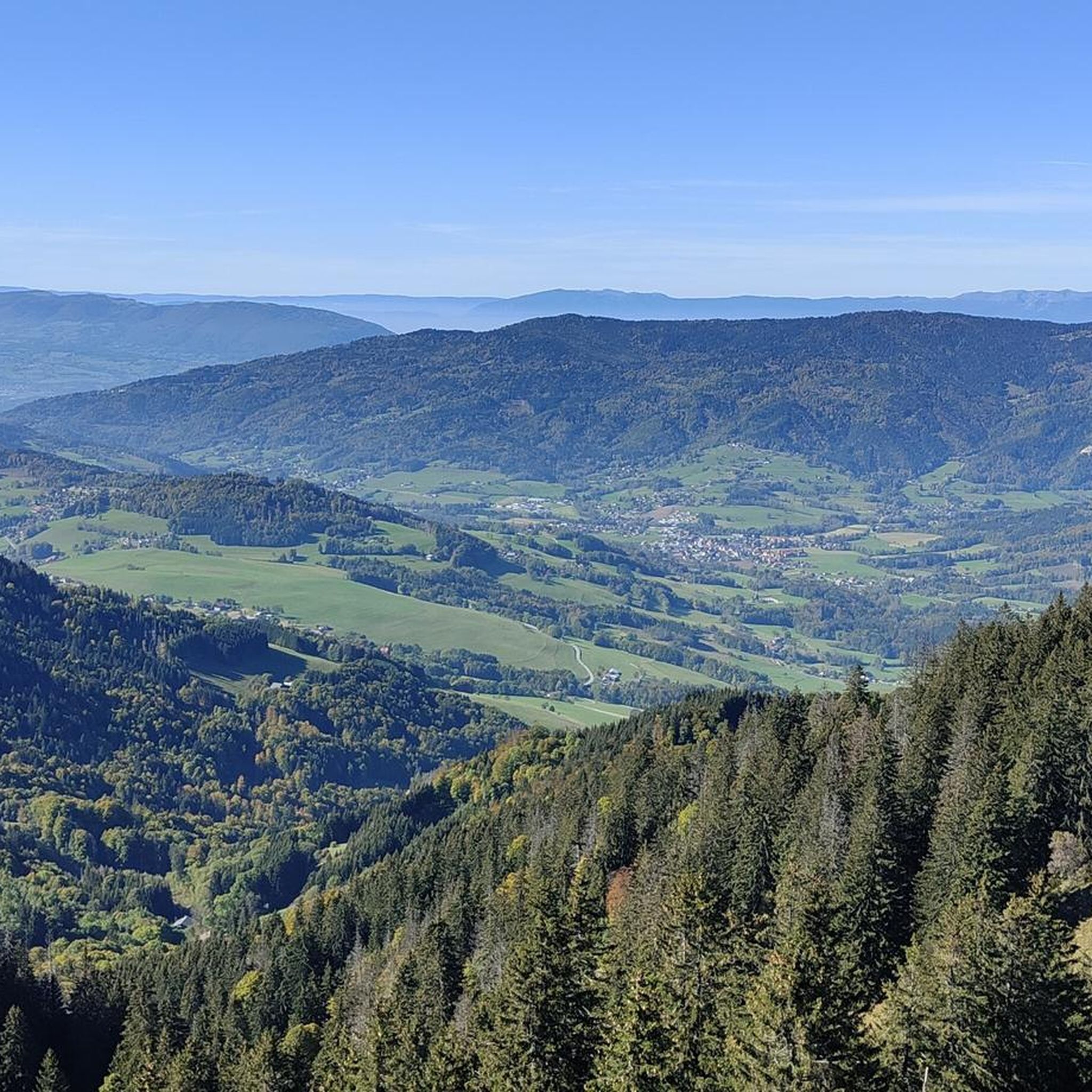
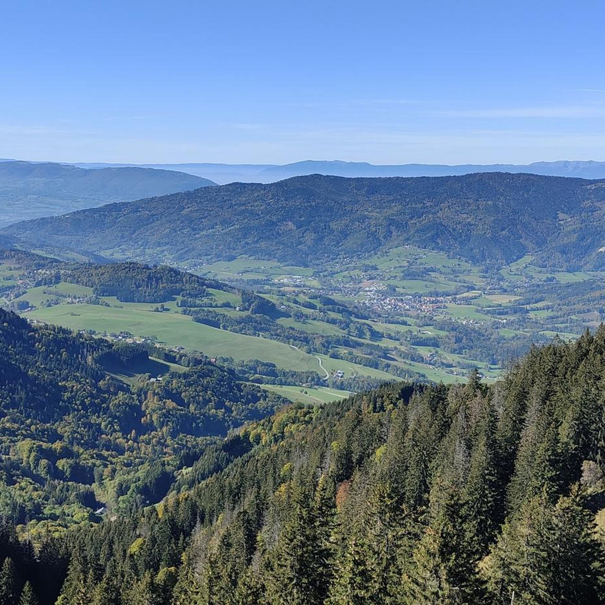
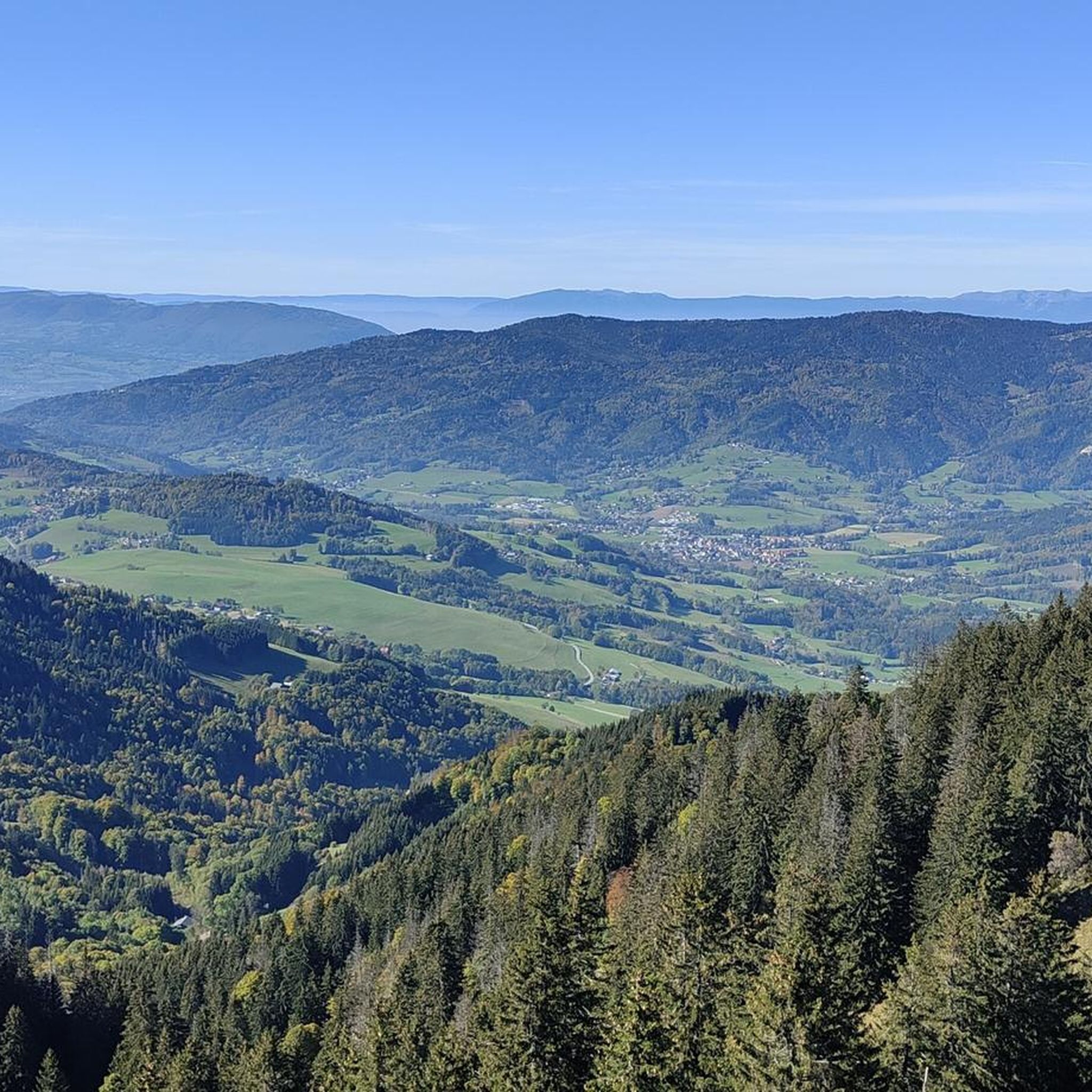
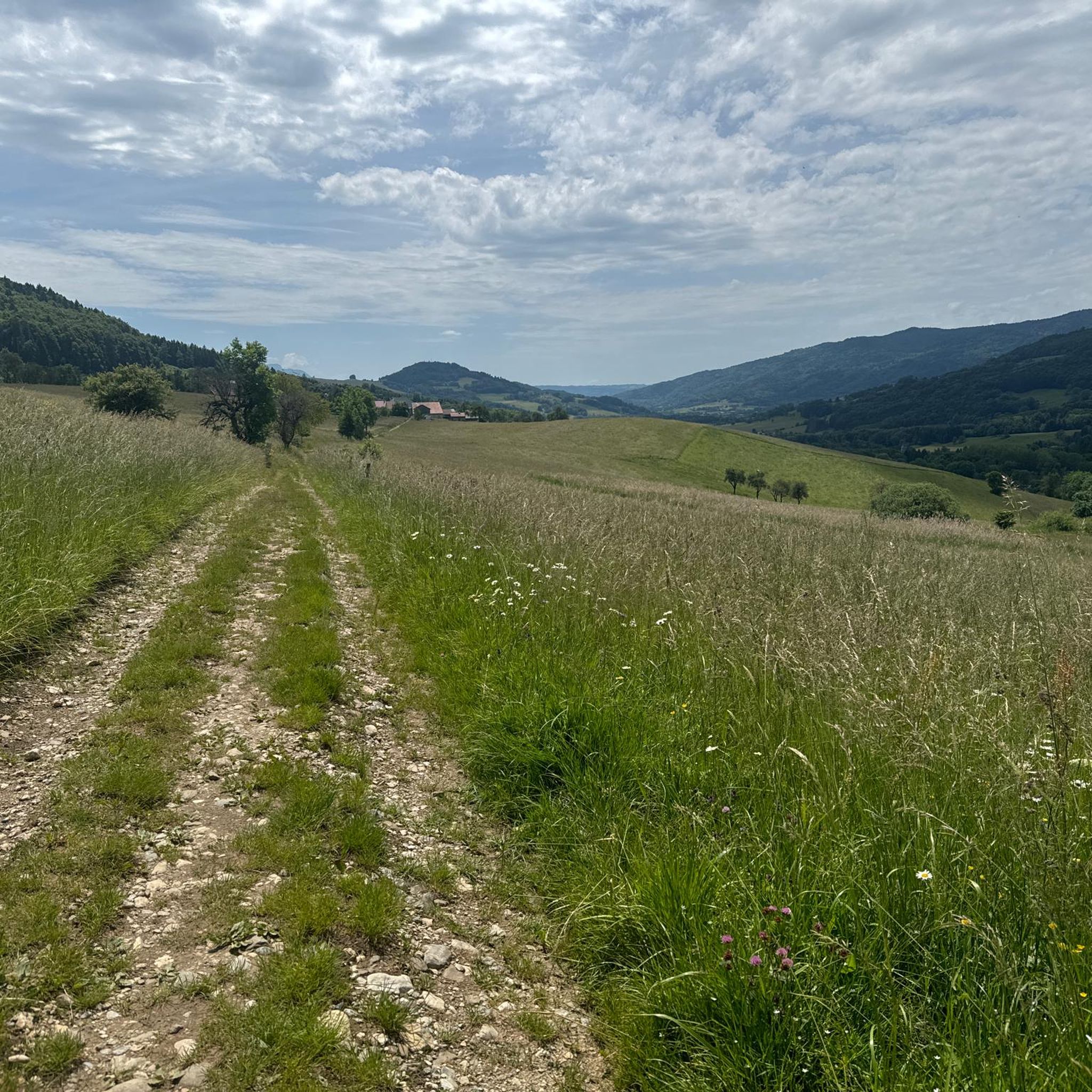

Tips from the Community


The Ajon climb is signposted from Villard. It is 7.3 kilometres long and has an average gradient of 8.3% with a passage at over 15%. At the top, the view at an altitude of 1,406 metres is delightful.
1
0

Steep ascent, many parts are steeper than 10%. In 2023, this climb was included in the Tour.
0
1


The Plaine Joux de Passy is 13.3 km long with a total drop of 756 m. The average gradient is 5.7% with maximum gradients of 15%.
2
1

Col de Seytrouset, just on the heights of the mountain pasture of the same name, you can continue towards Niflon d'en Haut on one side or descend on the other to reach the Col de la Balme, above Avanchéreau. Nice point of view.
0
0
Frequently Asked Questions
How many mountaineering routes are available around Burdignin?
There are 4 mountaineering routes detailed around Burdignin, offering a range of experiences from moderate to difficult. These routes provide access to the diverse alpine landscapes of the Haute-Savoie region.
Are there any circular mountaineering routes in the Burdignin area?
Yes, all the listed mountaineering routes around Burdignin are circular. For example, you can explore the Col de Seytrouset – Col de la Balme loop from Bellevaux, a moderate 9.3 km trail, or the more challenging Pointe de Miribel loop from Bogève.
What kind of views can I expect on mountaineering routes near Burdignin?
The routes around Burdignin offer stunning panoramic views, often including the majestic Mont Blanc Massif. For example, the Brantaz Peak loop from Lucinges provides expansive vistas from Brantaz Peak. You can also find excellent viewpoints like Mount Forchat, known for its almost panoramic views.
Are there any waterfalls or natural monuments to see along the mountaineering trails?
Yes, the region around Burdignin features several natural attractions. You can find the Cascade de Bellevaux, a nearby waterfall, and the intriguing Copacou Stone. The wider Haute-Savoie region also boasts impressive cascades like the Cascade de la Diomaz and the Cirque du Fer-à-Cheval.
What is the best time of year for mountaineering in Burdignin?
The best time for mountaineering in Burdignin and the wider Haute-Savoie region is generally from late spring to early autumn (May to October). During these months, the weather is more stable, and trails are typically free of snow, making for safer and more enjoyable ascents. Always check local weather and trail conditions before heading out.
Are there any beginner-friendly mountaineering routes around Burdignin?
While all listed routes require a good level of fitness, there are moderate options suitable for those with some mountaineering experience. The Col de Seytrouset – Col de la Balme loop from Bellevaux and the Brantaz Peak loop from Lucinges are both rated as moderate and offer varied terrain through alpine pastures and forested sections.
What are some of the more challenging mountaineering options near Burdignin?
For those seeking a more difficult challenge, the Pointe de Miribel loop from Bogève and the Ascent to Plaine-Joux – Pointe de Miribel loop from Pointe de Miribel are both rated as difficult. These routes lead through alpine meadows and offer rewarding views of surrounding peaks, often involving steeper ascents.
What do other mountaineers say about the routes in Burdignin?
The mountaineering routes around Burdignin are highly regarded by the komoot community, holding an average rating of 5.0 stars. Users appreciate the diverse terrain, from forested sections to open alpine environments, and the access to significant mountain ranges like the Mont Blanc Massif.
Are there any specific peaks or summits I can aim for on a mountaineering trip near Burdignin?
Absolutely. The region offers access to several notable peaks. You can reach Pointe de Miribel on a challenging loop from Bogève, or explore the area around Mount Forchat, which provides excellent lookout points. The wider region also includes iconic mountains like Roc d'Enfer and the Mole.
What kind of terrain can I expect on mountaineering routes in Burdignin?
The terrain around Burdignin is quite varied, reflecting its position in the Haute-Savoie region. You can expect a mix of forested slopes, alpine pastures, and more exposed ridge lines and alpine environments. Routes often traverse open slopes and can include sections with significant elevation gain, providing a diverse mountaineering experience.
Are there any lakes near Burdignin that can be incorporated into a mountaineering trip?
While the immediate mountaineering routes listed don't directly pass by large lakes, the region is rich with stunning water features. The small La Gouille aux Morts is a nearby natural monument. Further afield, you can find picturesque lakes such as Lac d'Anterne and the famous Lac d'Annecy, which could be visited as part of a broader trip to the area.
What should I consider regarding public transport or parking for mountaineering in Burdignin?
Burdignin is nestled in the Haute-Savoie region, and while specific public transport details for each trailhead are not provided, accessing trailheads often requires a car. Many routes start from villages like Bellevaux, Lucinges, or Bogève, where parking facilities are typically available. It's advisable to check local transport options and parking availability for your chosen starting point in advance.
Most popular routes around Burdignin
Most popular attractions around Burdignin

Get inspired with the komoot mobile app


Explore more
Browse the best Mountain Hikes & Routes in other regions.
