The best walks and hikes around Burdignin
4.6
(915)
8,448
hikers
264
hikes
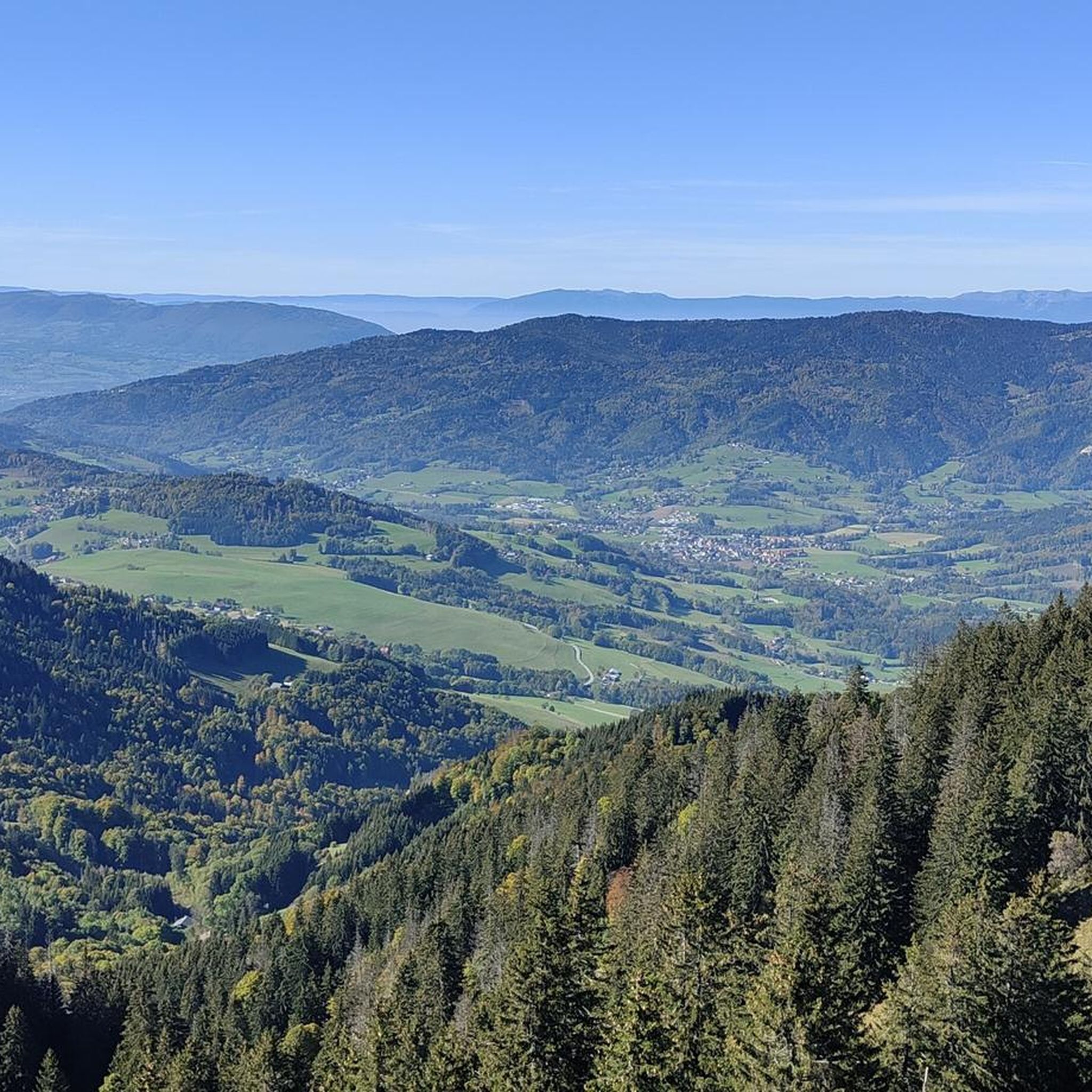
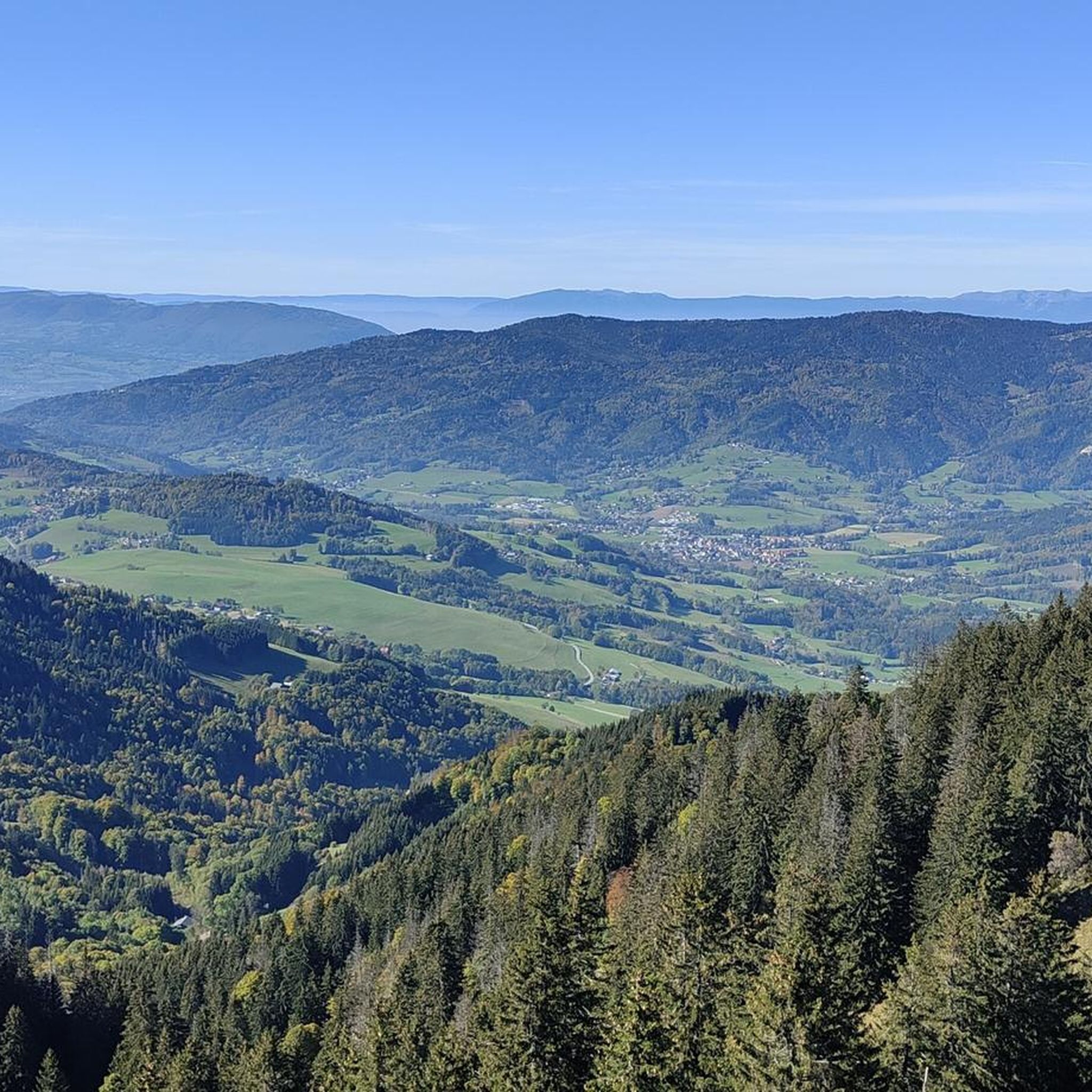
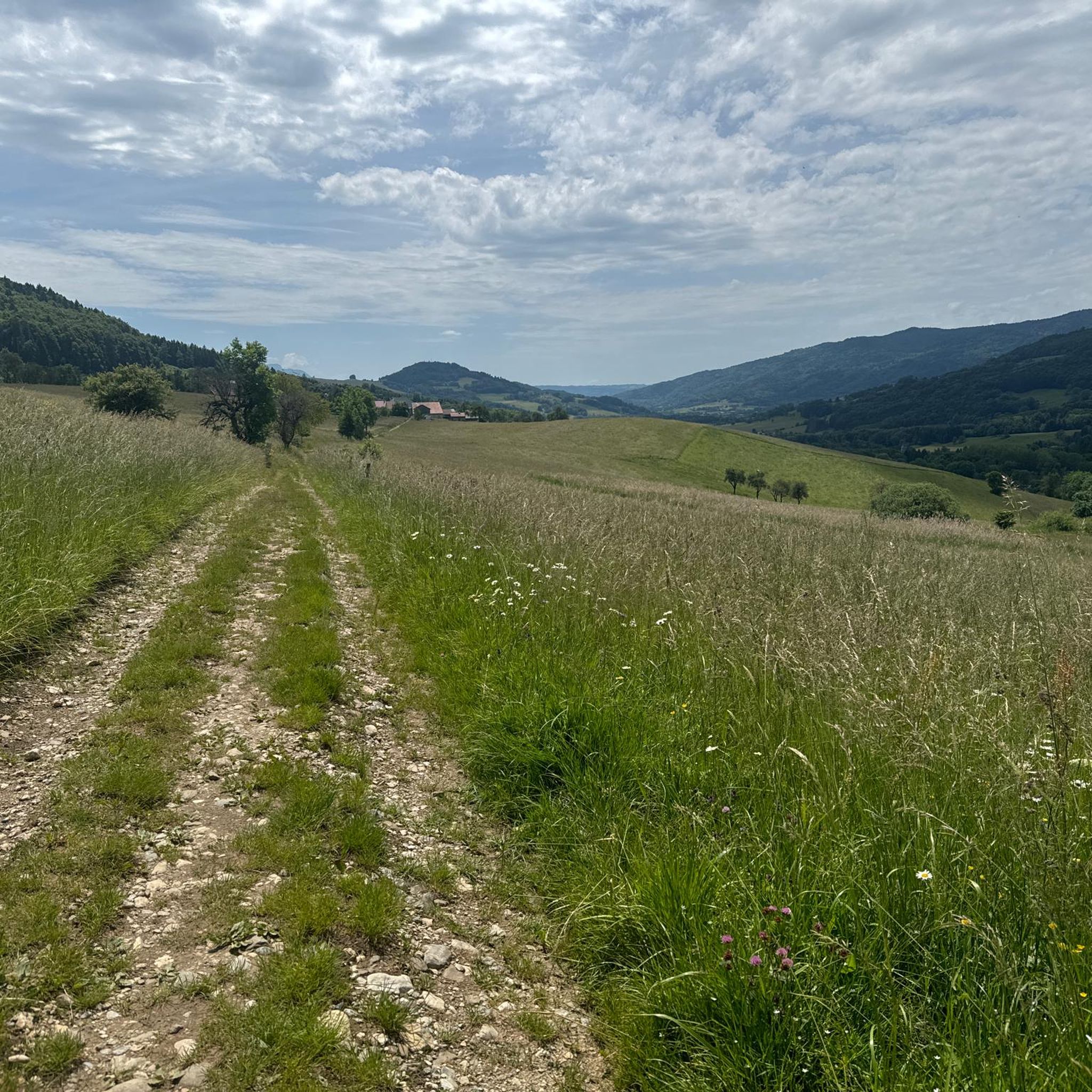
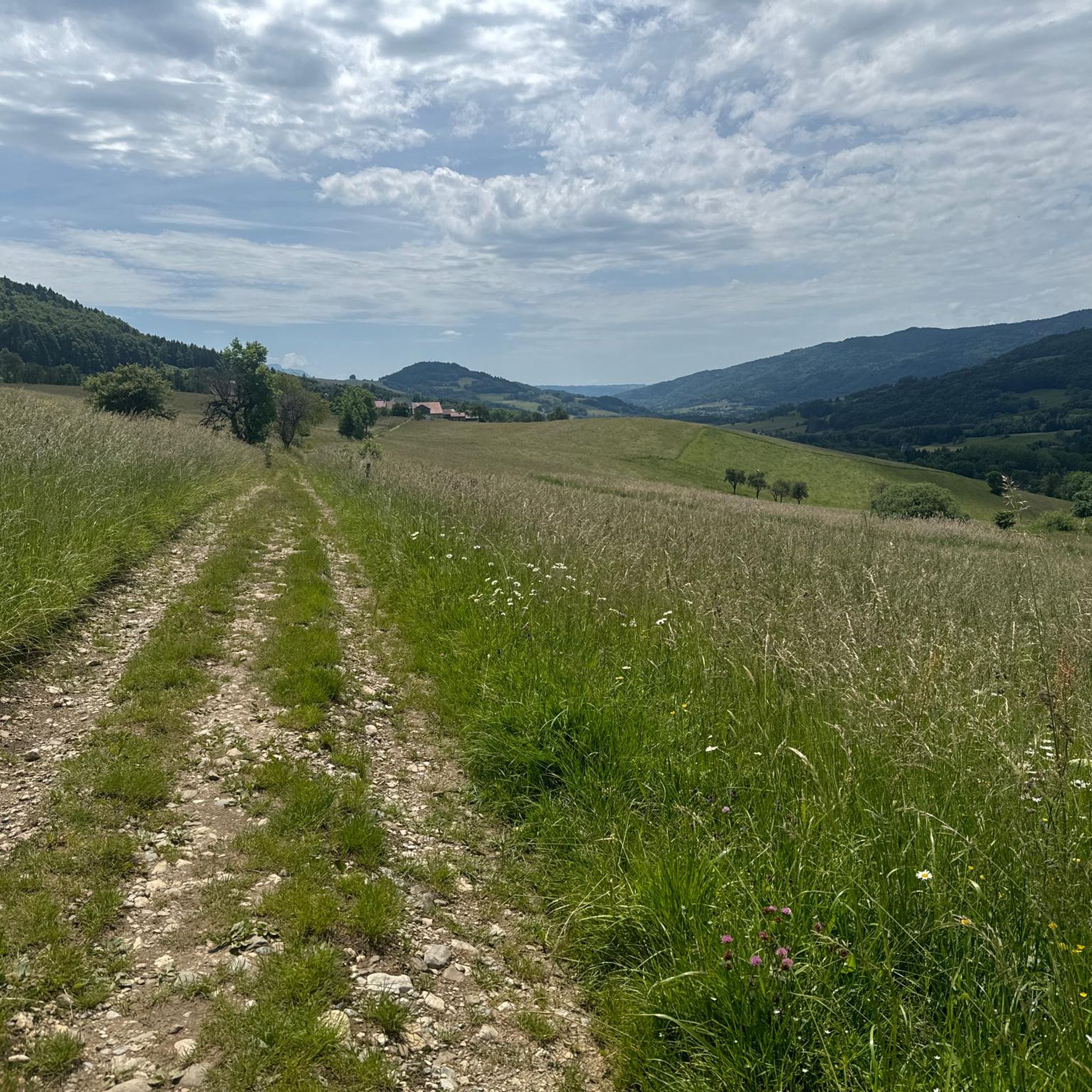
Hiking around Burdignin, located in the Haute-Savoie department of France, offers diverse landscapes for outdoor enthusiasts. The region is characterized by mountainous terrain, featuring significant passes like the Col de Cou and prominent peaks such as Mount Forchat. Hikers can explore picturesque lakes, including Lac de la Crossetaz, and notable waterfalls like the Cascade du Penaz. Extensive networks of footpaths wind through forests and valleys, providing varied natural environments for exploration.
Best hiking trails in Burdignin
- The most popular hiking…
Last updated: May 16, 2026
4.6
(5)
71
hikers
13.6km
04:46
740m
740m
Moderate hike. Good fitness required. Mostly accessible paths. Sure-footedness required.
4.6
(5)
28
hikers
8.46km
02:47
360m
360m
Moderate hike. Good fitness required. Easily-accessible paths. Suitable for all skill levels.

Sign up for free
5.0
(3)
15
hikers
13.3km
04:55
780m
780m
Hard hike. Good fitness required. Sure-footedness, sturdy shoes and alpine experience required.
26
hikers
10.3km
04:22
740m
740m
Hard hike. Good fitness required. Sure-footedness, sturdy shoes and alpine experience required.
23
hikers
12.6km
03:18
110m
110m
Moderate hike. Good fitness required. Easily-accessible paths. Suitable for all skill levels.
Get access to more routes and recommendations from other explorers.
Sign up for free
Already have an account?
Our route recommendations are based on thousands of hikes, rides, and runs completed by other people on komoot.
Start today with a free account
Your next adventure awaits.
Login or Signup

Tips from the Community

Impressive views and good trails.
1
0


Beautiful view of the Mont Blanc massif
0
0

The Ajon climb is signposted from Villard. It is 7.3 kilometres long and has an average gradient of 8.3% with a passage at over 15%. At the top, the view at an altitude of 1,406 metres is delightful.
1
0

The Voirons signal, culminating at 1,485 meters, offers an exceptional panorama of the Alps, the Jura, and on a clear day, Mont Blanc. Accessible through the Voirons forest, this viewpoint is worth it, but the reward is breathtaking. The trails wind between fir trees and beech trees, offering glimpses of the Geneva Valley and the lake below. Perfect for a contemplative break, it is a popular site for mountain bikers and nature lovers.
6
0

Steep ascent, many parts are steeper than 10%. In 2023, this climb was included in the Tour.
0
1
Frequently Asked Questions
How many hiking trails are available around Burdignin?
There are over 240 hiking routes around Burdignin, catering to various skill levels. You'll find a wide selection, from easy walks to more challenging mountain treks, ensuring there's something for every hiker.
Are there easy or family-friendly hiking options in Burdignin?
Yes, Burdignin offers over 60 easy routes suitable for families and beginners. An excellent option is the Penaz Waterfall loop from Boëge, an easy 6.4 km trail that takes under 2 hours to complete and features the beautiful Cascade du Penaz.
Can I find trails with waterfalls near Burdignin?
Absolutely! The region is home to the stunning Cascade du Penaz. You can explore it on the moderate Rocafort Castle – Penaz Waterfall loop from Boëge, or opt for the easier Penaz Waterfall loop from Boëge. The Cascade de Bellevaux is another notable waterfall in the area.
What kind of natural features or landmarks can I expect to see on hikes?
Burdignin's trails lead through diverse landscapes. You can encounter mountain passes like the Col de Cou, serene lakes such as Lac de la Crossetaz, and prominent peaks like Mount Forchat, which offers panoramic views. The historic Saint Bruno Chapel is also a rewarding destination with great vistas.
Are there any circular hiking routes around Burdignin?
Many of Burdignin's trails are designed as circular routes, allowing you to start and end at the same point. Examples include the moderate Lake de la Crossetaz – Plateau de la Menoge loop from Boëge, which takes you through varied landscapes, and the challenging Pointe de Miribel – Chalets d'Ajon loop from Villard.
What do other hikers say about the trails in Burdignin?
The hiking trails in Burdignin are highly regarded by the komoot community, with an average rating of 4.6 stars from over 800 reviews. Hikers often praise the diverse landscapes, from mountain passes to serene lakes and forests, and the variety of routes suitable for all levels.
What is the best time of year to go hiking in Burdignin?
Burdignin offers hiking opportunities throughout the year. Spring and autumn provide pleasant temperatures and vibrant scenery, while summer is ideal for higher altitude trails. Even in winter, the crêtes de Burdignin are accessible for snowshoeing, offering a different kind of outdoor experience.
Are there any challenging hikes for experienced trekkers?
Yes, for experienced hikers, there are over 50 difficult routes. The Pointe de Miribel – Chalets d'Ajon loop from Villard is a demanding 10.3 km path with significant elevation gain, offering a rewarding challenge and stunning views.
Are there any lakes I can hike to or around in the area?
Yes, the region features picturesque lakes such as the Lac de la Crossetaz. You can hike around it on the moderate Lake de la Crossetaz loop from Villard, which is about 7.6 km long and takes just over 2 hours.
Is there parking available at the trailheads in Burdignin?
While specific parking details for every trailhead are not listed, Burdignin is generally accessible for hikers arriving by car. Many popular starting points for trails, especially those near villages like Boëge or Villard, typically offer designated parking areas. It's always a good idea to check local signage upon arrival.
Can I access hiking trails in Burdignin using public transport?
Public transport options to reach specific trailheads in Burdignin may be limited, as is common in more rural mountainous regions. While some villages might have bus services, direct access to all hiking starting points might require a car. For detailed public transport information, it's best to consult local transport schedules for the Haute-Savoie region.
Are there places to eat or stay near the hiking trails in Burdignin?
Burdignin and its surrounding villages offer local amenities including cafes, pubs, and accommodation options. These can be found in the main village centers, providing convenient spots for refreshments or overnight stays before or after your hikes.
Most popular routes around Burdignin
Most popular attractions around Burdignin

Get inspired with the komoot mobile app


Explore more
Browse the best Hikes in other regions.
