The best walks and hikes around Kämpfelbach
4.5
(8793)
31,893
hikers
88
hikes
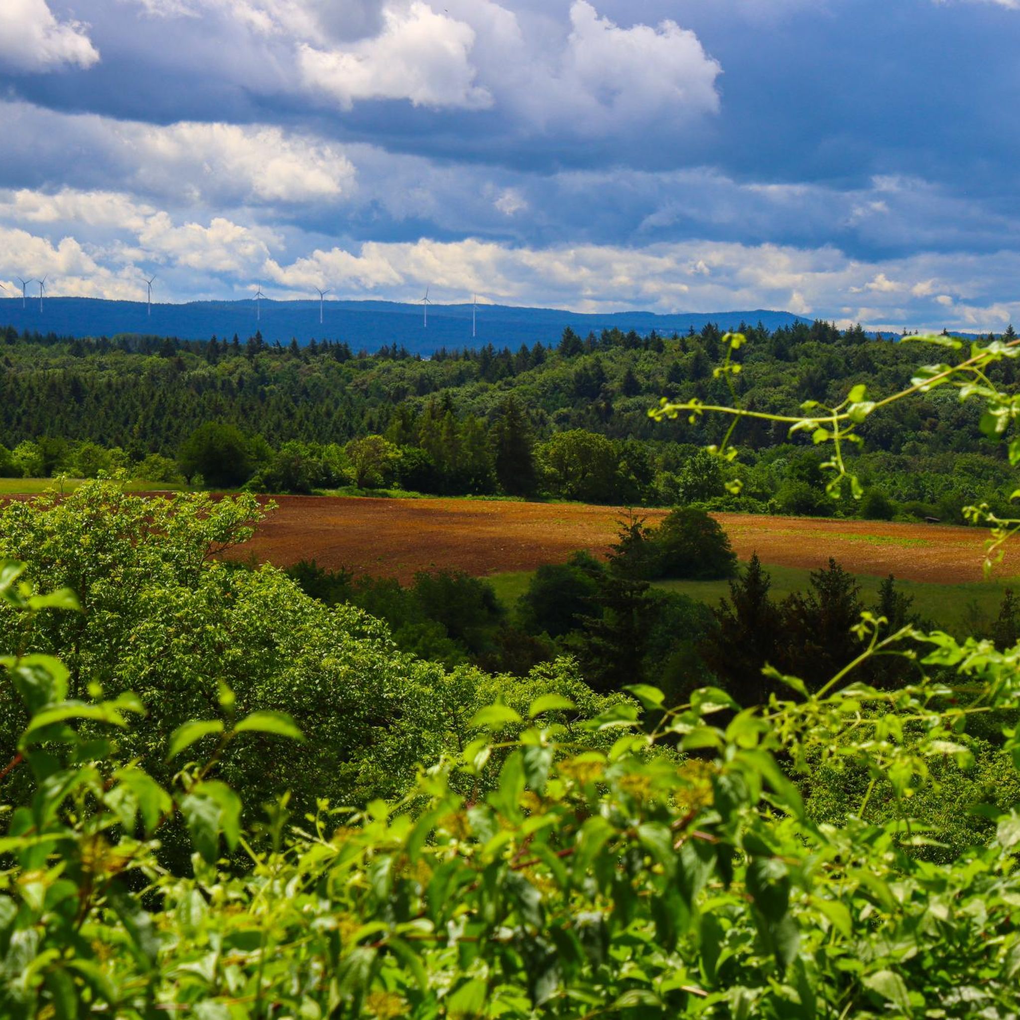
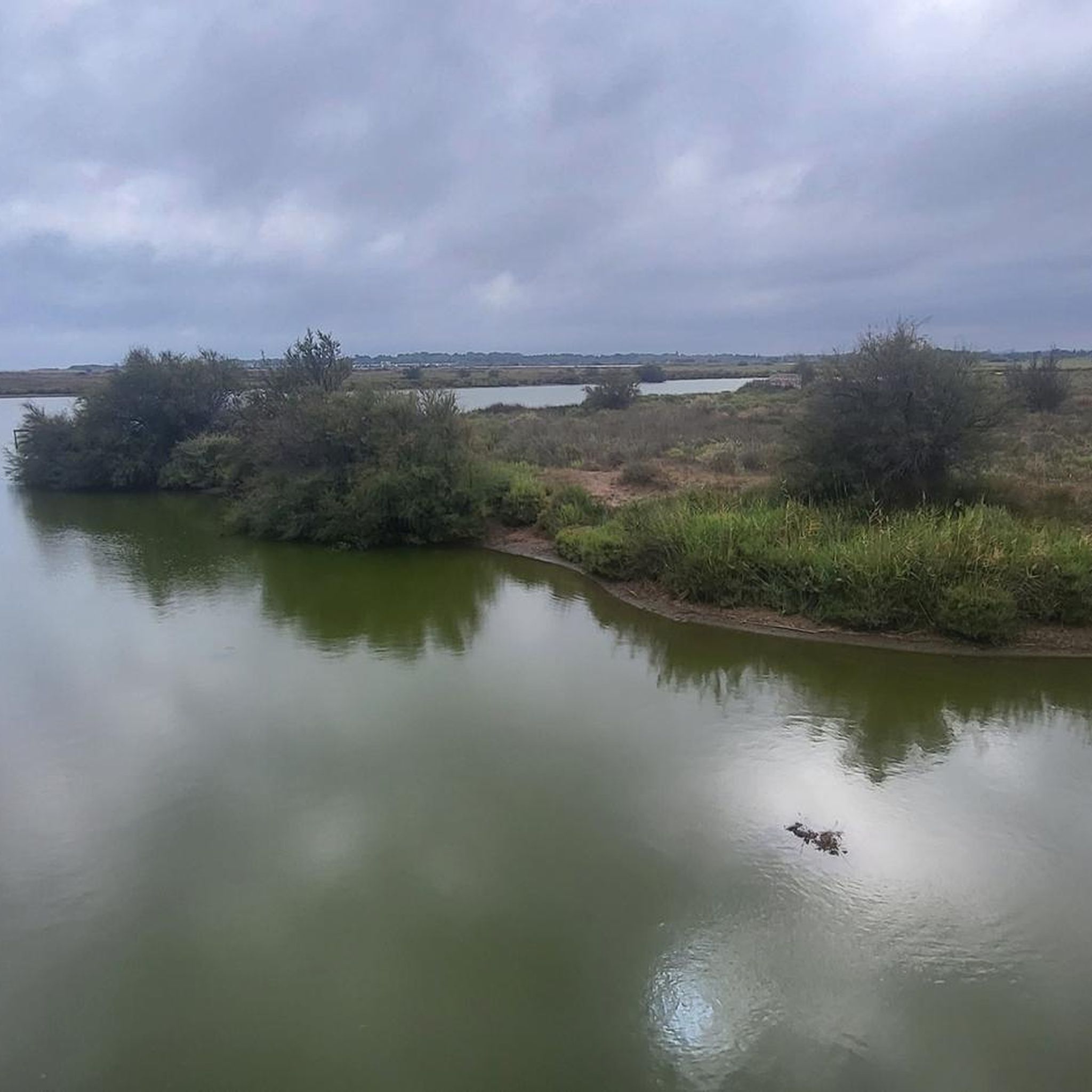
Hiking around Kämpfelbach offers diverse terrain situated in the transitional area between the Kraichgau and the northern Black Forest. The region features a varied landscape where colored sandstone meets limestone, creating a distinct character. Hikers can explore idyllic hilly landscapes, lush meadows, extensive forests, and meandering rivers, including the Kämpfelbach stream itself. This geographical mix provides a range of scenic backdrops for outdoor activities.
Best hiking trails around Kämpfelbach
- The most popular hiking route is St. Wendelin's Chapel – Gengenbach…
Last updated: November 4, 2026
4.5
(28)
85
hikers
10.1km
02:45
140m
140m
Moderate hike. Good fitness required. Easily walkable paths.
4.3
(26)
77
hikers
9.59km
02:37
150m
150m
Moderate hike. Good fitness required. Easily walkable paths.

4.5
(19)
63
hikers
13.1km
03:43
270m
270m
Moderate hike. Good fitness required. Easily walkable paths.
4.2
(9)
28
hikers
7.31km
02:05
170m
170m
Moderate hike. Good fitness required. Easily walkable paths.
3.0
(1)
18
hikers
4.35km
01:15
110m
110m
Easy hike. Easily walkable paths.
Get access to more routes and recommendations from other explorers.
Already have an account?
Our route recommendations are based on thousands of hikes, rides, and runs completed by other people on komoot.
Start today with a free account
Your next adventure awaits.
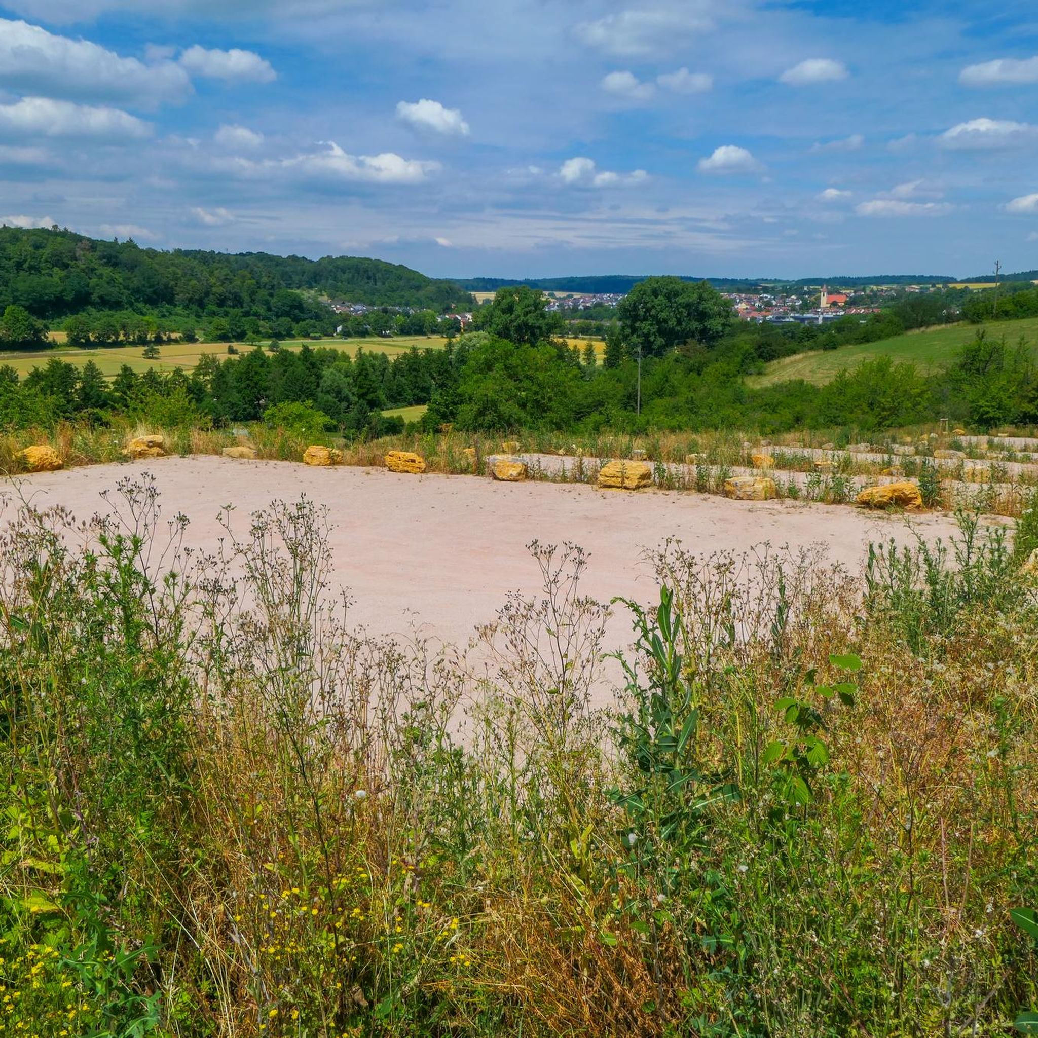
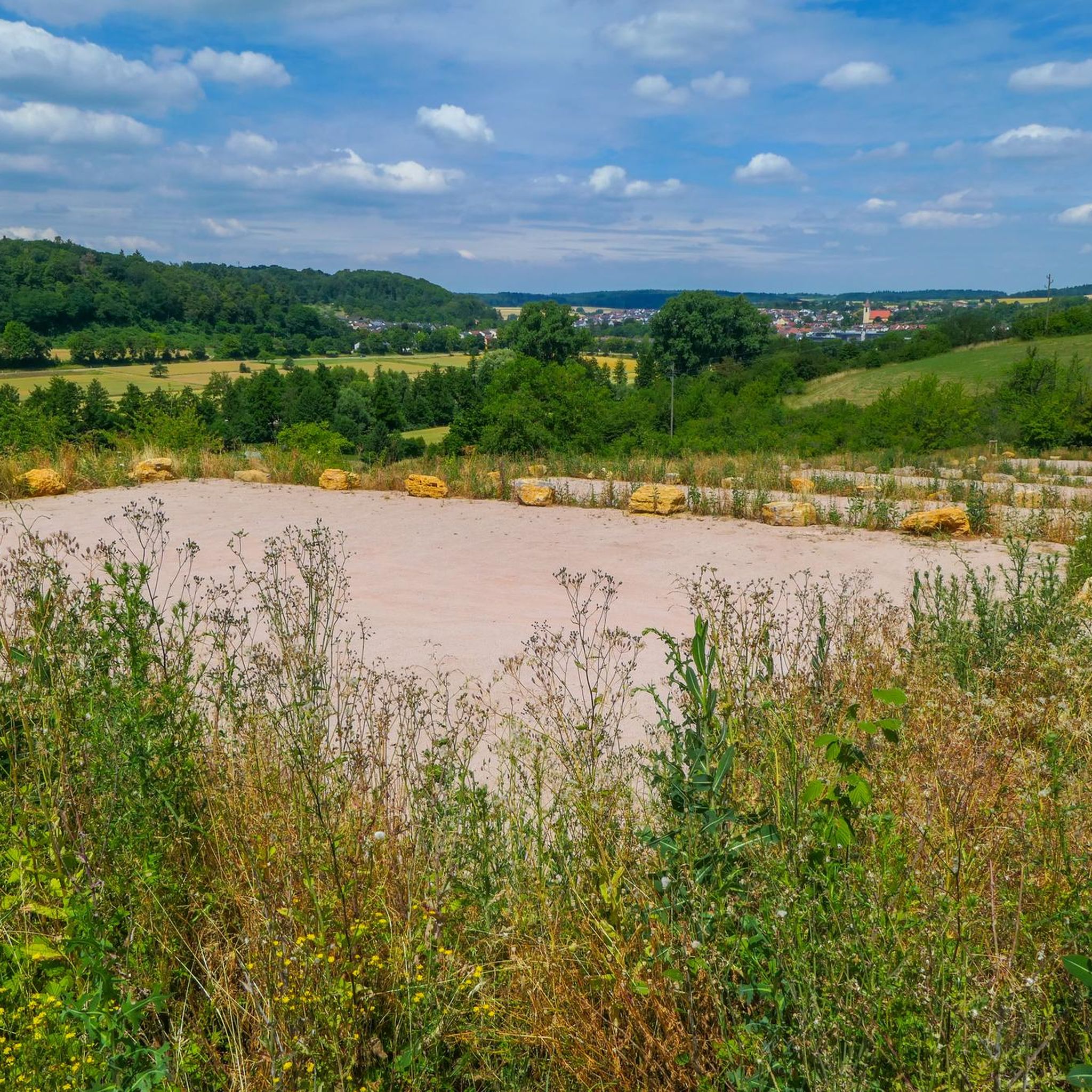
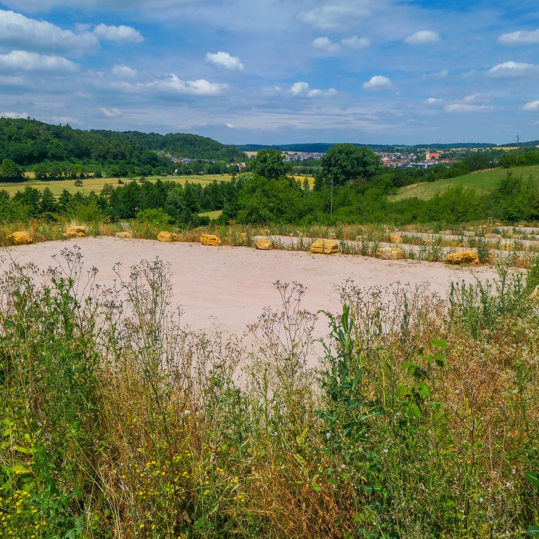
Tips from the Community

The church was built in 1966 in the style of concrete brutalism.
0
0

The beautiful chapel was erected in the year 2000 above a crossroads under a large tree. There are also some outdoor benches at the chapel.
6
0
Ersingen has a pretty historic town center with some half-timbered houses and a historic town hall, which is flowed through by the Kämpfelbach. The town center is currently being upgraded with a renovation program.
4
0
Comparatively new village well made of sandstone (built 1986) in the town center. The two benches at the well are painted in the colors of the German and Italian flags, presumably as a sign of solidarity with the Italian partner municipality Civitella in Val di Chiana.
3
0

I wouldn't call it a gorge, it's a beautiful green valley where you can relax perfectly. It was fun to cycle through here, uphill and downhill.
0
0

The donkeys are happy when someone passes by
0
0
My home. A little different from everything else🙃
0
1

beautiful place on the Kämpfelbacher Berg 🤣
0
0
Frequently Asked Questions
How many hiking trails are available in Kämpfelbach?
Kämpfelbach offers a wide variety of hiking opportunities, with over 90 trails available. These routes cater to different preferences, including easy, moderate, and a few more challenging options.
Are there easy hiking trails suitable for beginners in Kämpfelbach?
Yes, Kämpfelbach is very welcoming for beginners and those looking for less strenuous walks. There are over 60 easy hiking routes, such as the 6.0 km St. Wendelin's Chapel – Gengenbach Hut loop from Kämpfelbach, which features gentle elevation changes and takes about 1 hour 45 minutes to complete.
Are there family-friendly hiking options in Kämpfelbach?
Absolutely. The Kämpfelbacher Heimatpfad is an excellent choice for families. This approximately 5-kilometer path connects Ersingen and Bilfingen, featuring eight 'experience stations' with informative and interactive elements about local nature, traditions, and history. It's easily walkable with about 100 meters of elevation gain, though it's not entirely suitable for strollers.
Can I bring my dog on hikes in Kämpfelbach?
Many trails in Kämpfelbach are suitable for dogs, allowing you to explore the diverse landscapes with your canine companion. It's always recommended to keep dogs on a leash, especially in areas with wildlife or near agricultural land, and to check local regulations for specific trails.
Are there circular hiking routes available in Kämpfelbach?
Yes, Kämpfelbach offers numerous circular hiking routes, perfect for exploring the region without retracing your steps. A popular moderate option is the 10.1 km St. Wendelin's Chapel – Gengenbach Valley loop from Ersingen, which takes around 2 hours 45 minutes and offers scenic views.
What natural features or historical sites can I discover while hiking in Kämpfelbach?
While hiking in Kämpfelbach, you can explore diverse landscapes including idyllic hilly areas, lush meadows, extensive forests, and the meandering Kämpfelbach stream itself. Historically, the region features ancient grave mounds from the Hallstatt period (900-500 BC) in areas like Rainwald, Ernstenfeld, Kühlloch, and Bernel, offering a glimpse into ancient history.
Are there any castles or other attractions near the hiking trails in Kämpfelbach?
Yes, the area around Kämpfelbach offers several interesting attractions. You can find historical sites like the St. Barbara Chapel Ruins or explore the impressive Neuenbürg Castle and ruins. Natural highlights include the Würm Valley and the west shore of Aalkistensee.
Where can I find parking for hiking trails in Kämpfelbach?
Parking is generally available near trailheads in Kämpfelbach, particularly in the districts of Ersingen and Bilfingen, which serve as starting points for many routes. Specific parking information can often be found on local signage or within detailed route descriptions.
Is it possible to access hiking trails in Kämpfelbach using public transport?
Kämpfelbach is connected by public transport, making it possible to reach various starting points for hikes. The two main districts, Ersingen and Bilfingen, are typically well-served, allowing access to trails like the Kämpfelbacher Heimatpfad and other routes in the Gengenbach Valley.
What is the best time of year to go hiking in Kämpfelbach?
The diverse landscapes of Kämpfelbach, with its forests, meadows, and streams, make it an appealing hiking destination throughout much of the year. Spring and autumn offer pleasant temperatures and beautiful scenery with blooming flowers or vibrant fall foliage. Summer is also great, especially for shaded forest paths, while winter can provide unique, tranquil experiences, though some paths might be slippery.
Are there places to eat or drink along the hiking trails in Kämpfelbach?
While specific amenities directly on every trail may vary, the districts of Ersingen and Bilfingen, which are often starting or ending points for hikes, offer local cafes, pubs, and restaurants where you can enjoy refreshments and meals after your walk.
What do other hikers enjoy most about hiking in Kämpfelbach?
The area is highly rated by the komoot community, with an average score of 4.5 stars from over 150 reviews. Hikers often praise the region's diverse terrain, which transitions between the Kraichgau and the northern Black Forest, offering a mix of idyllic hilly landscapes, extensive forests, and meandering rivers. The well-maintained paths and scenic views are frequently highlighted.
Most popular routes around Kämpfelbach
Most popular attractions around Kämpfelbach

Get inspired with the komoot mobile app


Explore more
Browse the best Hikes in other regions.
