The best mountain hikes around Saint-Jean-De-Tholome
4.9
(5)
42
hikers
2
hikes
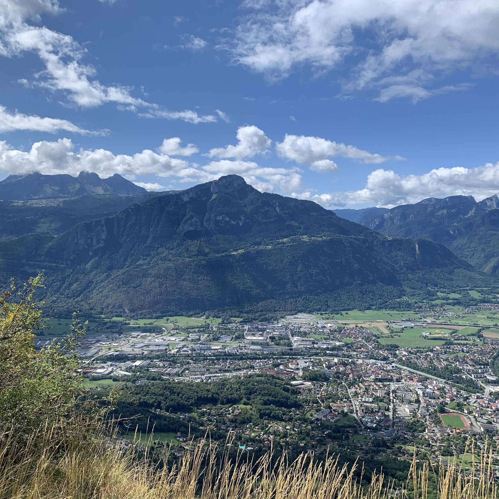
Mountaineering routes around Saint-Jean-De-Tholome are situated in the Haute-Savoie department, characterized by Alpine landscapes and prominent peaks. The region features significant summits such as Le Môle, reaching 1863 meters, and Tête de l'Écutieux at 1627 meters. Dense forests, alpine pastures, and distinctive rock formations like Leschaux Rocks define the terrain, offering views of the Mont Blanc massif and the Geneva basin.
Best mountaineering routes around Saint-Jean-De-Tholome
- The most popular mountaineering route is Petit Môle – Le Môle loop from Ayse…
Last updated: July 5, 2026
4.8
(4)
29
hikers
8.59km
04:12
670m
670m
Hard mountaineering route. Good fitness required. Sure-footedness, sturdy shoes and alpine experience required.
5.0
(1)
8
hikers
16.6km
07:30
1,340m
1,340m
Hard mountaineering route. Very good fitness required. Sure-footedness, sturdy shoes and alpine experience required.

Sign up for free
2
hikers
10.0km
03:16
440m
440m
Moderate mountaineering route. Good fitness required. Mostly accessible paths. Sure-footedness required.
2
hikers
6.60km
02:10
300m
300m
Hard mountaineering route. Good fitness required. Sure-footedness, sturdy shoes and alpine experience required.
1
hikers
8.25km
02:52
390m
390m
Hard mountaineering route. Good fitness required. Sure-footedness, sturdy shoes and alpine experience required.
Our route recommendations are based on thousands of hikes, rides, and runs completed by other people on komoot.
Start today with a free account
Your next adventure awaits.
Login or Signup
Tips from the Community

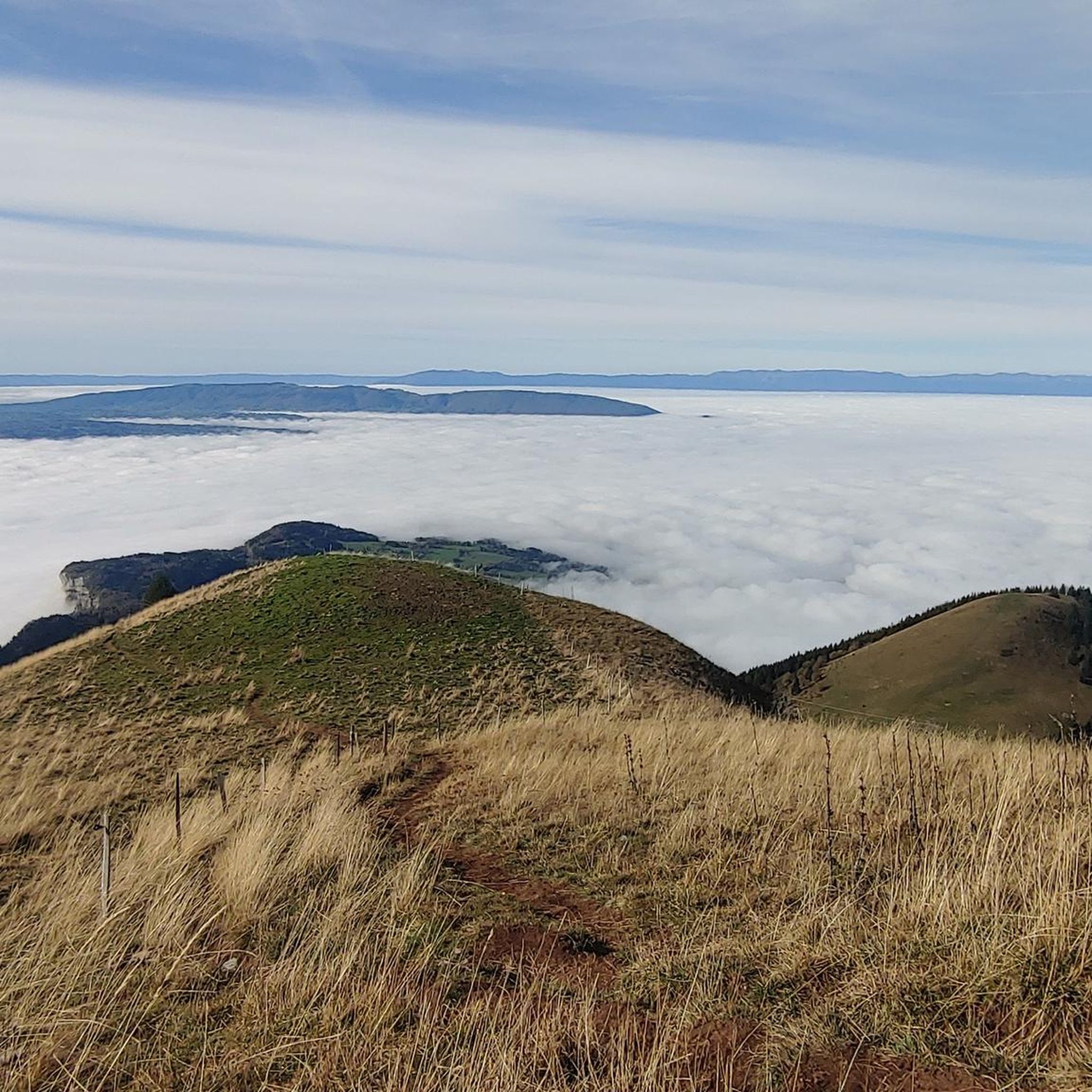
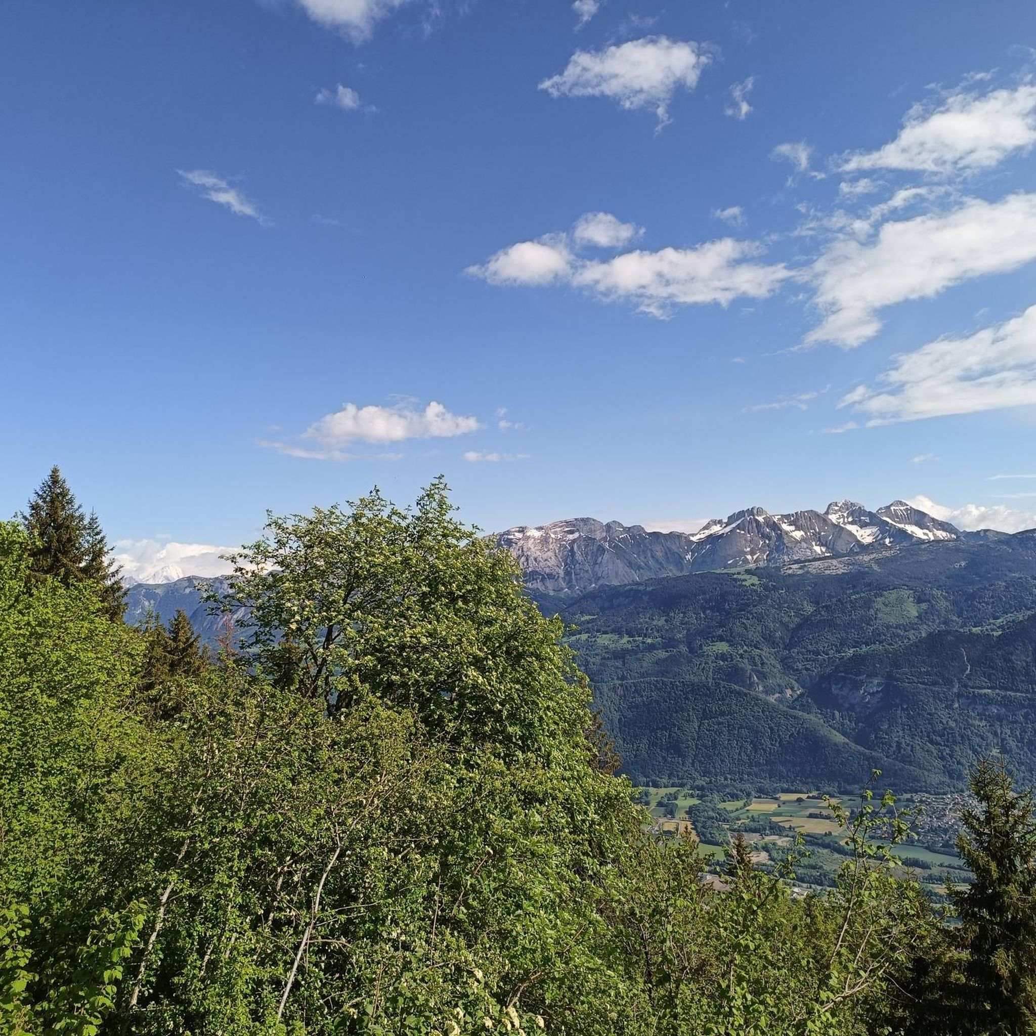
360° view of Mont-Blanc, Dents du Midi, Swiss Alps, the Jura, the Salève, Lake Geneva etc... Absolutely beautiful and with today's cloudless sky it was magnificent.
0
0

Very nice hike. It was quite crowded today. Contrary to what’s written in the description, I didn’t see any particularly risky passages
0
0


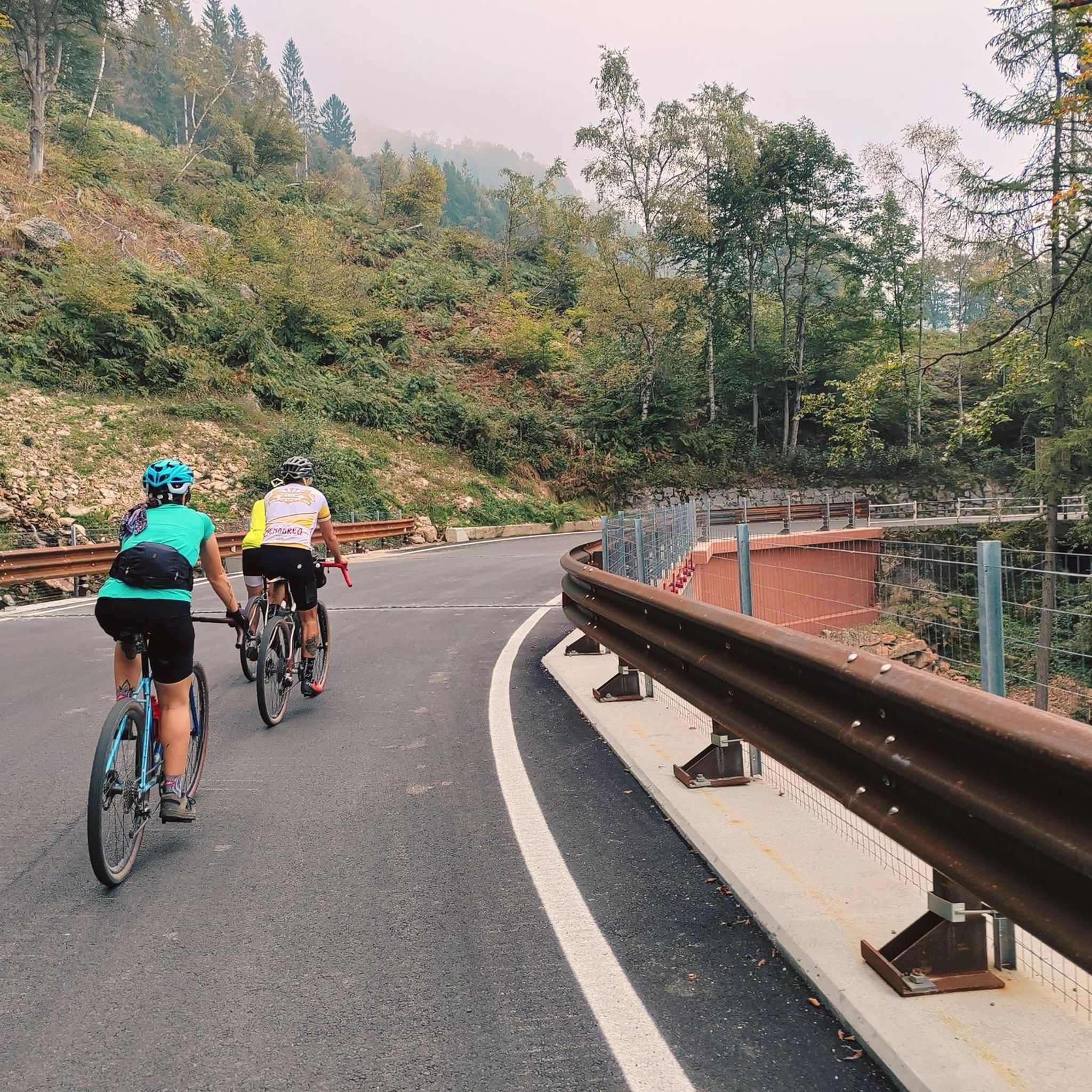
The Ajon climb is signposted from Villard. It is 7.3 kilometres long and has an average gradient of 8.3% with a passage at over 15%. At the top, the view at an altitude of 1,406 metres is delightful.
1
0

Steep ascent, many parts are steeper than 10%. In 2023, this climb was included in the Tour.
0
1


Frequently Asked Questions
How many mountaineering routes are available around Saint-Jean-De-Tholome?
Saint-Jean-De-Tholome offers a selection of at least 5 distinct mountaineering routes. These trails cater to various skill levels, from challenging ascents to prominent peaks like Le Môle to slightly less demanding, yet still difficult, options.
What kind of terrain can I expect on mountaineering routes in Saint-Jean-De-Tholome?
The terrain around Saint-Jean-De-Tholome is characterized by stunning Alpine landscapes. You'll encounter peaceful forests, expansive alpine pastures, and distinctive rock formations such as the Leschaux Rocks with their unique lapiaz features. Routes often lead to panoramic viewpoints of the Mont Blanc massif and the Geneva basin.
Are there any circular mountaineering routes in the area?
Yes, several routes offer a circular experience. For instance, the Petit Môle – Le Môle loop from Ayse is a challenging 8.7 km trail that takes you to the iconic Le Môle summit. Another option is the longer Le Môle – Petit Môle loop from Ayse, spanning 16.4 km with extensive Alpine views.
What are the most prominent peaks or viewpoints I can reach?
The most iconic summit is Le Môle, reaching 1863 meters, often called the 'Fuji-Yama of the Alps'. From its summit, you can enjoy breathtaking panoramic views of the Mont Blanc chain, the Aravis mountains, and the Geneva basin. Another notable peak is Tête de l'Écutieux at 1627 meters, which can be combined with climbs of Le Môle.
Are there any family-friendly mountaineering options?
While many routes are classified as difficult, some areas offer more accessible options. Pointe d'Andey, for example, is described as an 'easy family walk' with rewarding climbs. For a shorter, yet still challenging, loop through forested slopes, consider the Petit Môle loop from Ayse, which is 5.1 km long.
What do other mountaineers say about the routes in Saint-Jean-De-Tholome?
The mountaineering routes around Saint-Jean-De-Tholome are highly regarded by the komoot community, boasting an average rating of 4.9 stars. Users frequently praise the stunning panoramic views, especially of the Mont Blanc massif, and the diverse landscapes encountered along the trails.
Can I find routes with significant elevation gain?
Absolutely. Mountaineering in Saint-Jean-De-Tholome is known for its physically demanding ascents. For example, the Le Môle – Petit Môle loop from Ayse involves over 1340 meters of elevation gain, offering a substantial challenge and rewarding views.
Are there any natural landmarks or attractions to see along the routes?
Yes, the region is rich in natural beauty. You might encounter unique rock formations like the Leschaux Rocks. For specific natural highlights, consider visiting Le Môle summit cross or Pointe d'Andey. The area also features beautiful lakes such as La Gouille aux Morts and Lac Bénit, which can be found in the surrounding natural monuments and lakes guides.
What is the best time of year for mountaineering in Saint-Jean-De-Tholome?
The region is generally suitable for hiking and mountaineering throughout much of the year, with the Leschaux Rocks being particularly captivating for hikes in various seasons. However, for higher altitude mountaineering, late spring through early autumn typically offers the most favorable conditions, avoiding heavy snow and ice.
Are there any moderate difficulty mountaineering routes?
While many routes are classified as difficult, there are options that present a moderate challenge. For instance, the Brantaz Peak loop from Lucinges is a 10 km route with over 430 meters of elevation gain, offering a rewarding experience for those seeking a moderate mountaineering adventure.
Where can I find parking for these mountaineering trails?
Many of the popular routes, such as those leading to Le Môle, typically start from villages like Ayse or Lucinges, where designated parking areas are usually available for hikers. It's advisable to check specific trailhead information for the most convenient parking options.
Most popular routes around Saint-Jean-De-Tholome
Most popular attractions around Saint-Jean-De-Tholome

Get inspired with the komoot mobile app


Explore more
Browse the best Mountain Hikes & Routes in other regions.
