The best mountain hikes around Pontarlier
4.7
(4)
27
hikers
8
hikes
Mountaineering routes around Pontarlier traverse a landscape characterized by forested valleys, prominent summits, and distinct ridges within the Jura mountains. The region offers varied terrain, from challenging ascents to more moderate loops, often featuring expansive views. These routes provide opportunities to explore the natural features of the Bourgogne-Franche-Comté region.
Best mountaineering routes around Pontarlier
- The most popular mountaineering route is Petites Roches Ridge – Chasseron Summit loop from Bullet, a 7.7 miles (12.4 km) trail that takes 4 hours to complete. This route features a prominent ridge and a summit ascent.
- Another top favourite among local mountaineers is Le Morond – Le Morond loop from Métabief, a moderate 5.5 miles (8.9 km) path. This loop offers views from the Le Morond area.
- Local mountaineers also love the Mont Sâla Summit – Creux du Croue loop from Bois-d'Amont, a 10.8 miles (17.3 km) trail leading through varied terrain including a summit, often completed in about 5 hours 57 minutes.
- Mountaineering around Pontarlier is defined by forested slopes, summit ascents, and scenic loops. The network offers options for moderate and challenging ability levels.
- The routes in Pontarlier are highly rated by the komoot community with an average score of 4.6 stars from over 7 reviews. More than 70 mountaineers have used komoot to explore Pontarlier's varied terrain.
Last updated: June 22, 2026
5.0
(2)
3
hikers
12.4km
04:01
440m
440m
Moderate mountaineering route. Good fitness required. Mostly accessible paths. Sure-footedness required.
5
hikers
8.92km
02:58
440m
440m
Moderate mountaineering route. Good fitness required. Mostly accessible paths. Sure-footedness required.

Sign up for free
6
hikers
9.54km
03:16
470m
470m
Moderate mountaineering route. Good fitness required. Mostly accessible paths. Sure-footedness required.
2
hikers
8.61km
03:09
430m
430m
Moderate mountaineering route. Good fitness required. Mostly accessible paths. Sure-footedness required.
4.0
(1)
4
hikers
17.3km
05:57
740m
740m
Hard mountaineering route. Very good fitness required. Mostly accessible paths. Sure-footedness required.
Get access to more routes and recommendations from other explorers.
Sign up for free
Already have an account?
Our route recommendations are based on thousands of hikes, rides, and runs completed by other people on komoot.
Start today with a free account
Your next adventure awaits.
Login or Signup
Popular around Pontarlier
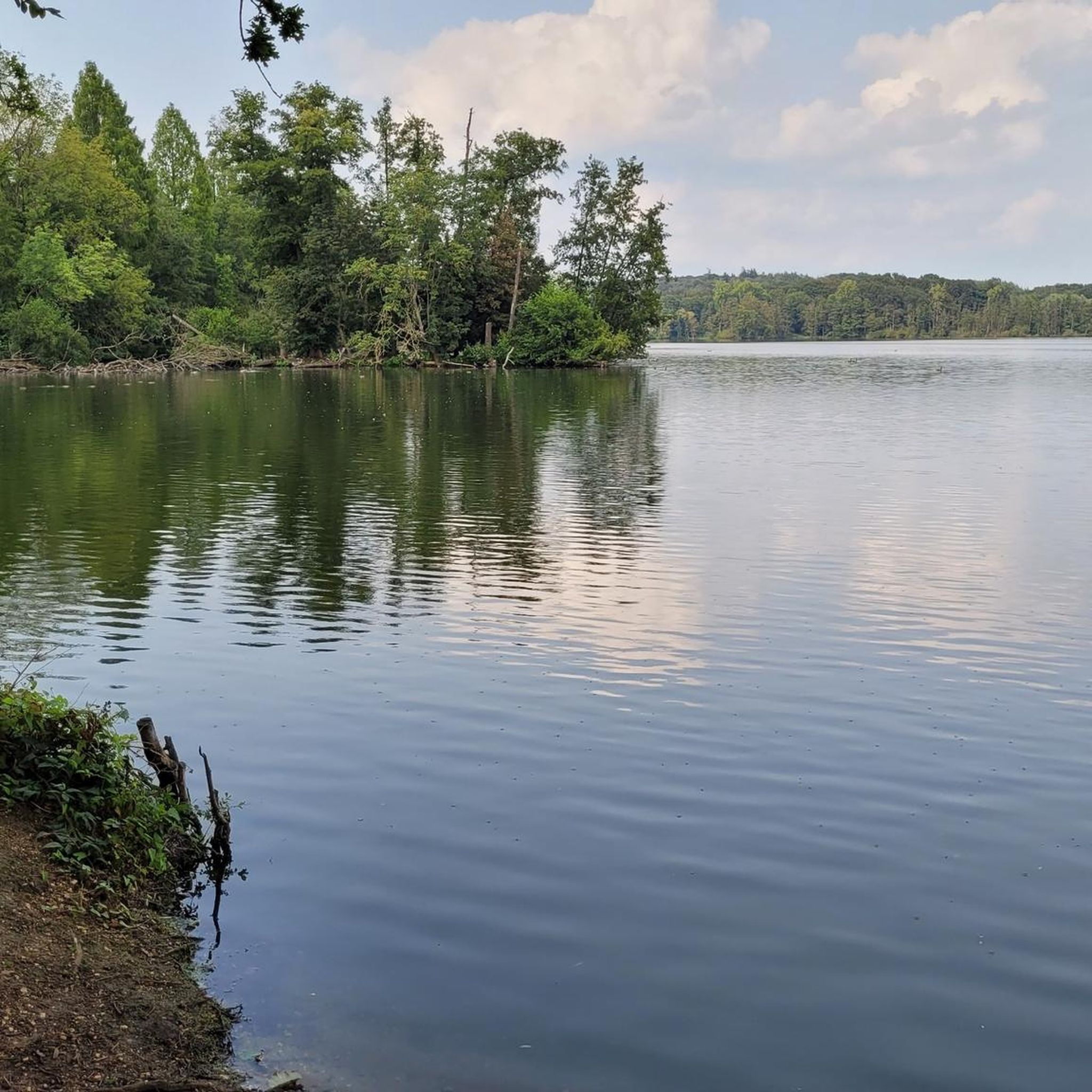
Mountain Hikes around Les Fourgs
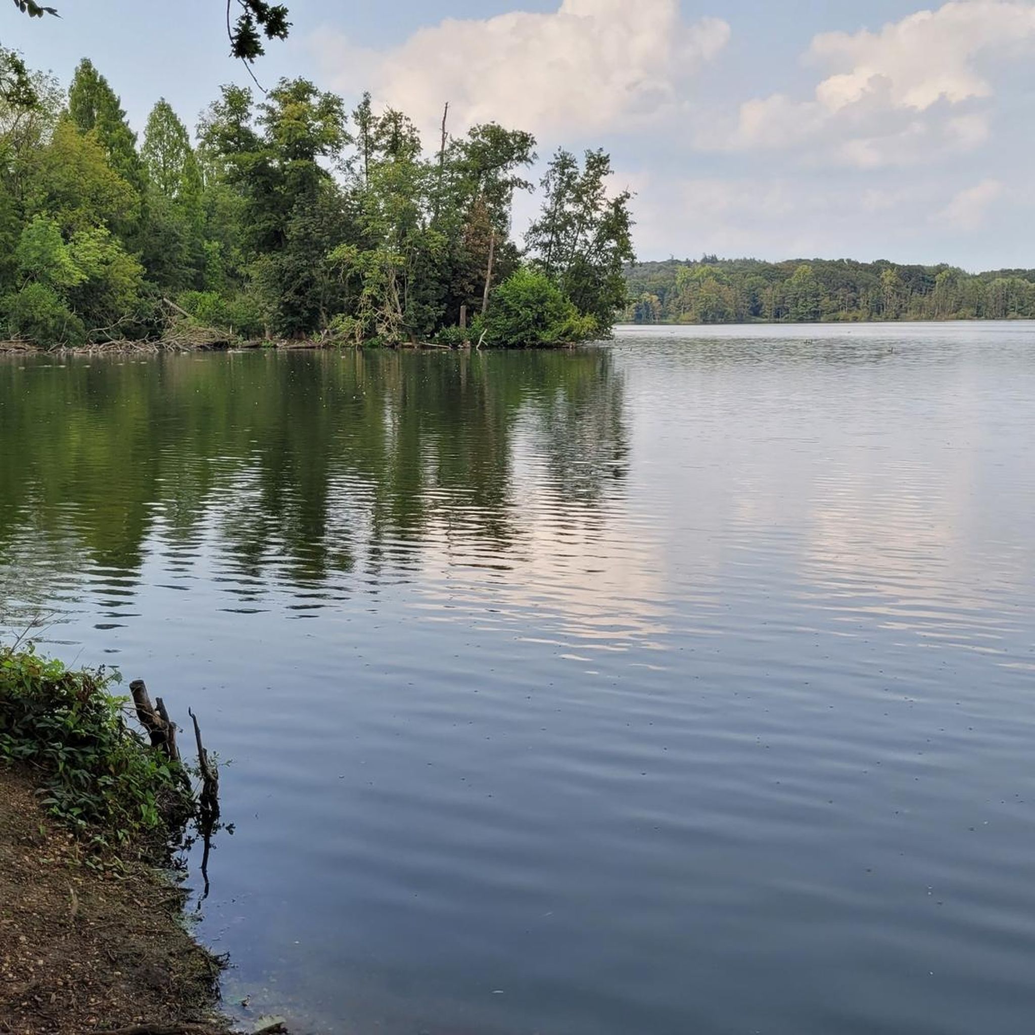
Mountain Hikes around Jougne
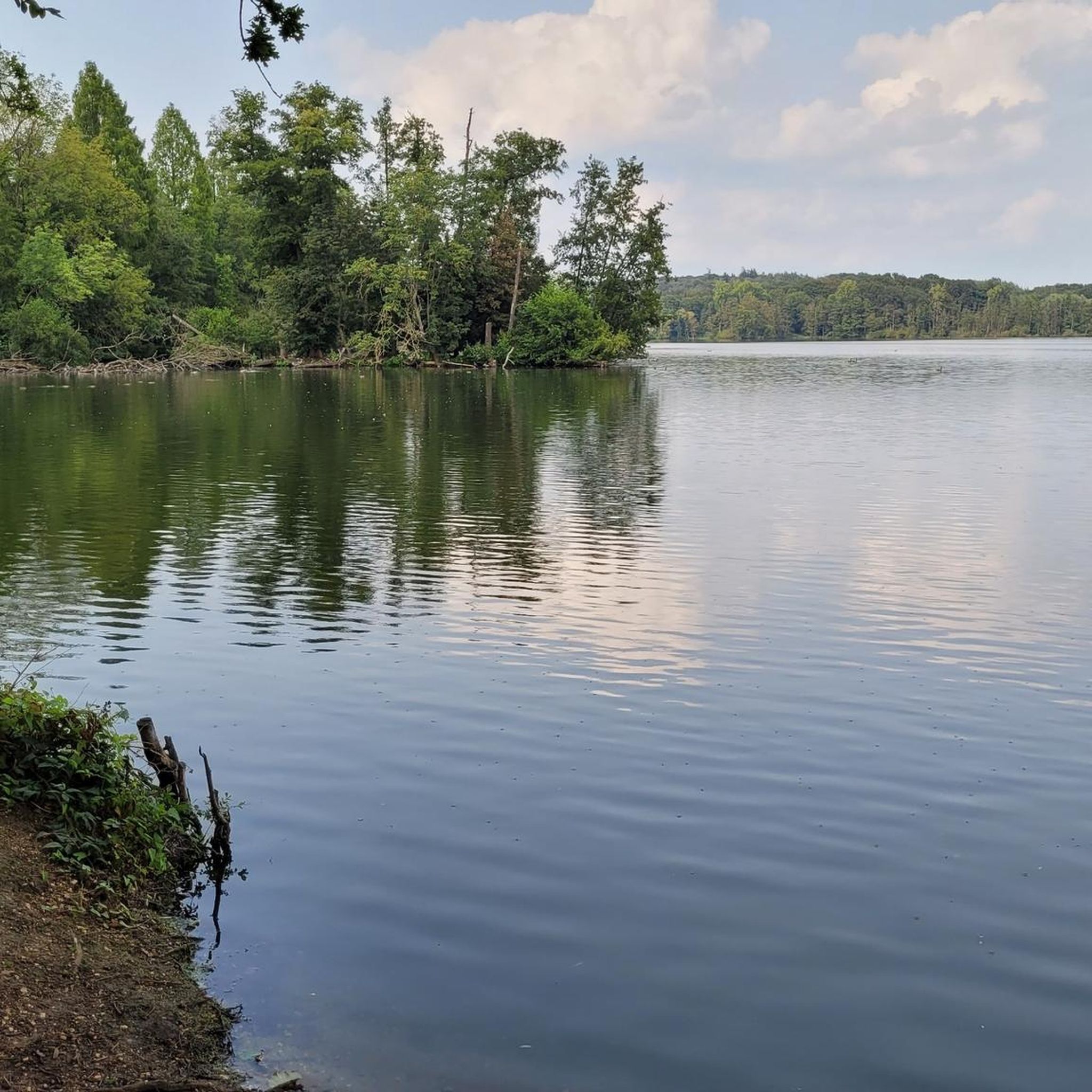
Mountain Hikes around Verrières-De-Joux

Mountain Hikes around Chapelle-Des-Bois

European Divide Trail — 7,600 km across the continent
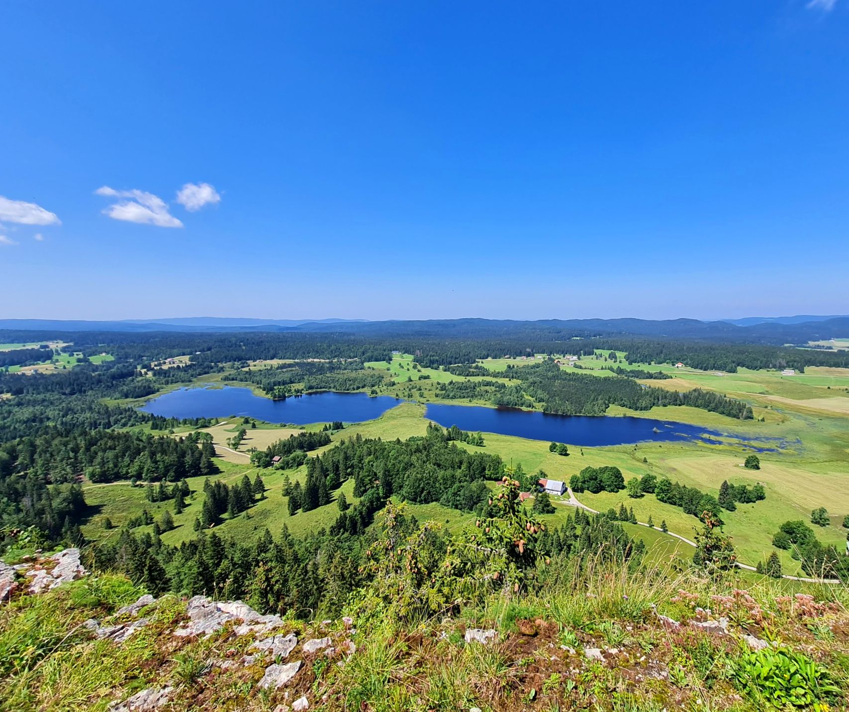
The Europe Trail – GR 5 from Nyon to Montbéliard
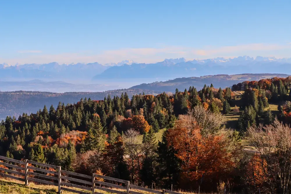
Grande Traversée du Jura en VTT — The Great Crossing of the Jura by MTB
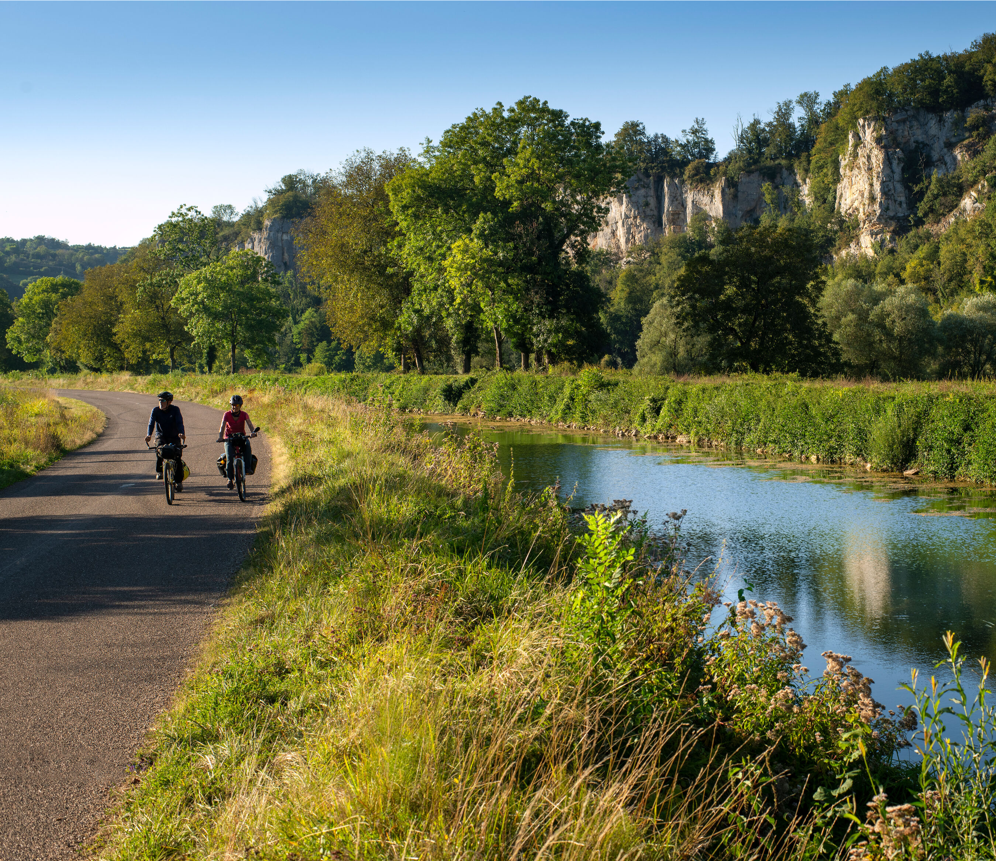
Burgundy-Franche-Comté by bike – between vineyards and peaks
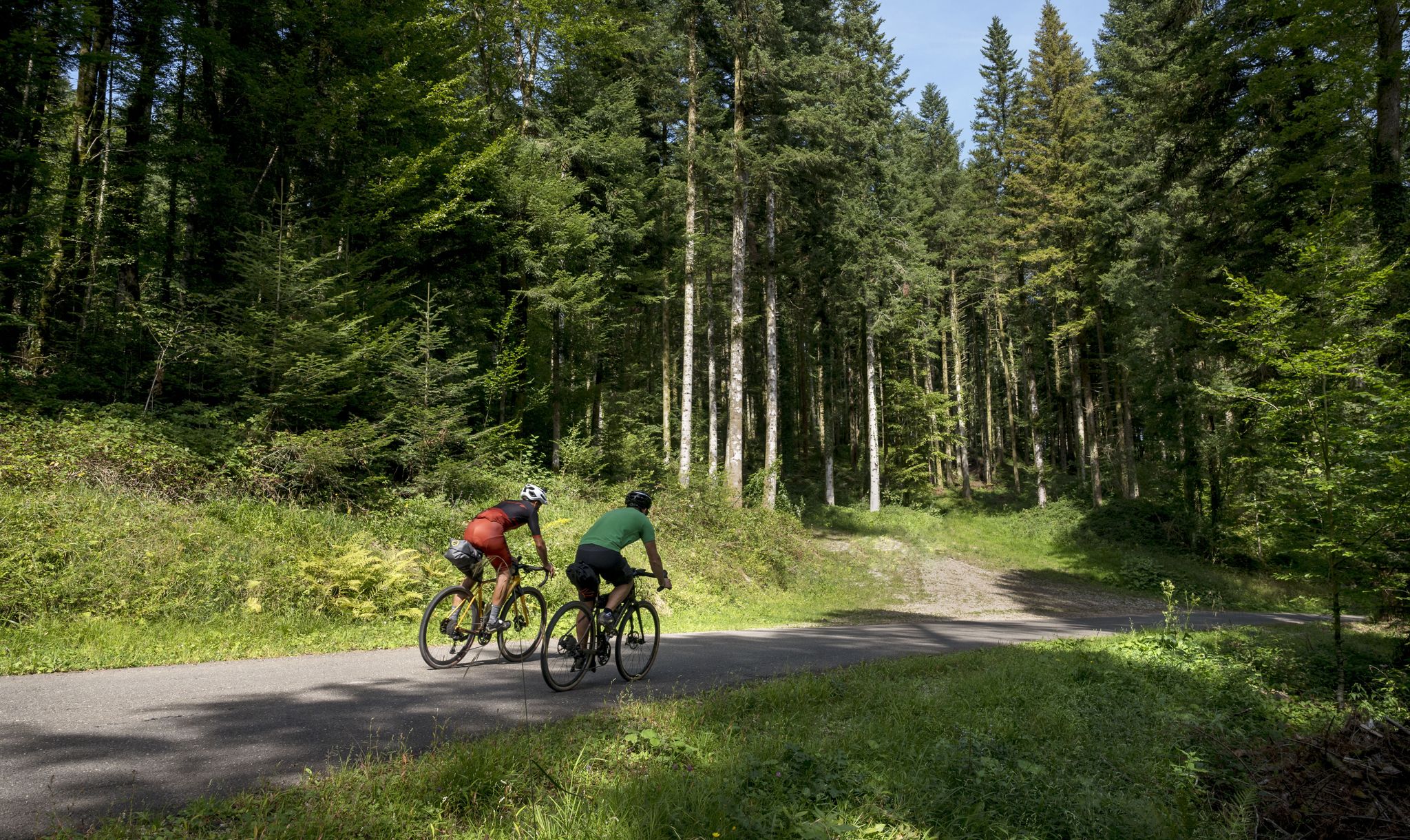
Grande Traversée du Jura - the gravel adventure
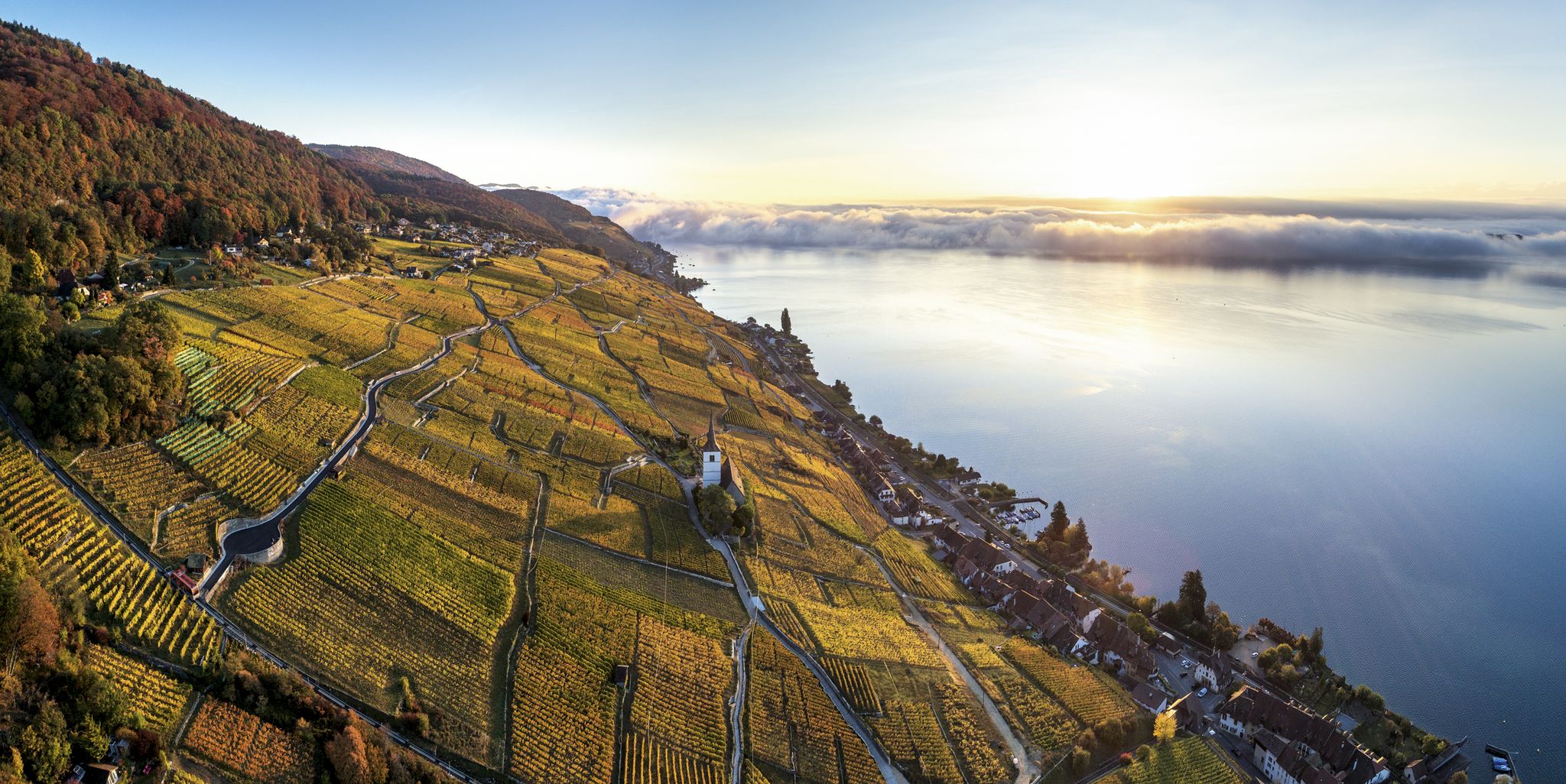
Waterside hiking in the Jura & Three-Lakes region
Other adventures around Pontarlier


Tips from the Community

Definitely clarify if catering is available. E-bike charging station if catering is available (socket).
0
0
Restaurant closed for several years!
0
0

I believe the restaurant on Le Chasseron is permanently closed. Please check before planning a visit.
0
0
The view is breathtaking all around
2
1

Summit in the Swiss Jura at 1546m Beautiful view of Lac des Rousses. On a clear day, view of Lake Geneva and the Alps.
0
0

A little smaller than the Chasseron, but the view is also gigantic
2
0
Easy paths lead up, the view is gigantic, all the famous Alpine peaks can be seen and in front of them Lake Neuchâtel and Lake Geneva
3
0
Frequently Asked Questions
What kind of terrain can I expect on mountaineering routes around Pontarlier?
Mountaineering routes in the Pontarlier region primarily traverse forested valleys, prominent summits, and distinct ridges within the Jura mountains. You'll encounter varied terrain, from challenging ascents to more moderate loops, often featuring expansive views of the Bourgogne-Franche-Comté region.
How many mountaineering routes are available in the Pontarlier area?
There are over 10 mountaineering routes around Pontarlier documented on komoot, offering a range of experiences for different skill levels.
Are there any challenging mountaineering routes near Pontarlier?
Yes, for those seeking a challenge, the Mont Sâla Summit – Creux du Croue loop from Bois-d'Amont is classified as difficult. This 17.3 km (10.8 miles) route typically takes nearly 6 hours to complete and features significant elevation changes.
Can I find circular mountaineering routes around Pontarlier?
Many of the mountaineering routes in the area are circular. For example, you could explore the Dent de Vaulion – Lac de Joux loop from Le Pont, which offers a scenic 9.5 km (5.9 miles) journey, or the shorter Le Morond loop from Métabief, spanning 6.4 km (4 miles).
What are some natural attractions or landmarks I can see along these routes?
The region is rich in natural beauty. You might encounter stunning waterfalls like the Saut du Doubs Waterfall or the Lançot Waterfall. There are also beautiful lakes such as Lac de Saint-Point and Lake Morond, and the impressive Mont d'Or summit.
What do other mountaineers say about the routes in Pontarlier?
The mountaineering routes around Pontarlier are highly regarded by the komoot community, with an average rating of 4.6 stars from numerous reviews. Over 70 mountaineers have used komoot to explore this varied terrain, often praising the scenic loops and summit ascents.
Are there any shorter, moderate mountaineering options for a quicker outing?
Absolutely. For a moderate and relatively shorter experience, consider the Chasseron Summit – Chasseron Restaurant loop from Bullet. This route is about 7.9 km (4.9 miles) long and offers rewarding views without requiring a full day.
What is the typical duration for mountaineering routes in this area?
The duration varies significantly depending on the route's length and difficulty. Moderate routes can range from around 2.5 to 4 hours, while more difficult or longer trails, like the Mont Sâla Summit – Creux du Croue loop, can take closer to 6 hours.
Are there any routes that offer prominent ridge walks?
Yes, the region is known for its distinct ridges. The Chasseron Summit – Petites Roches Ridge loop from Bullet is a great option if you're looking to experience a prominent ridge walk, covering about 9.6 km (6 miles).
What kind of elevation gain can I expect on these mountaineering routes?
Elevation gains vary, but many moderate routes feature ascents in the range of 350 to 450 meters (1,150 to 1,475 feet). The more challenging routes, such as the Mont Sâla Summit – Creux du Croue loop, can involve over 700 meters (2,300 feet) of climbing.
Are there any routes that combine summit views with lake scenery?
While not directly on the same route, many trails offer excellent summit views, and the region is dotted with beautiful lakes. For instance, the Dent de Vaulion – Lac de Joux loop from Le Pont provides views towards Lac de Joux, offering a combination of mountain and water landscapes.
Most popular routes around Pontarlier
Most popular attractions around Pontarlier

Get inspired with the komoot mobile app


Didn’t find what you were looking for?
Check out more Mountain Hikes & Routes throughout Pontarlier below and find the perfect route in your destination.
Explore more
Browse the best Mountain Hikes & Routes in other regions.
