The best mountain hikes around Gordexola
14
hikers
2
hikes
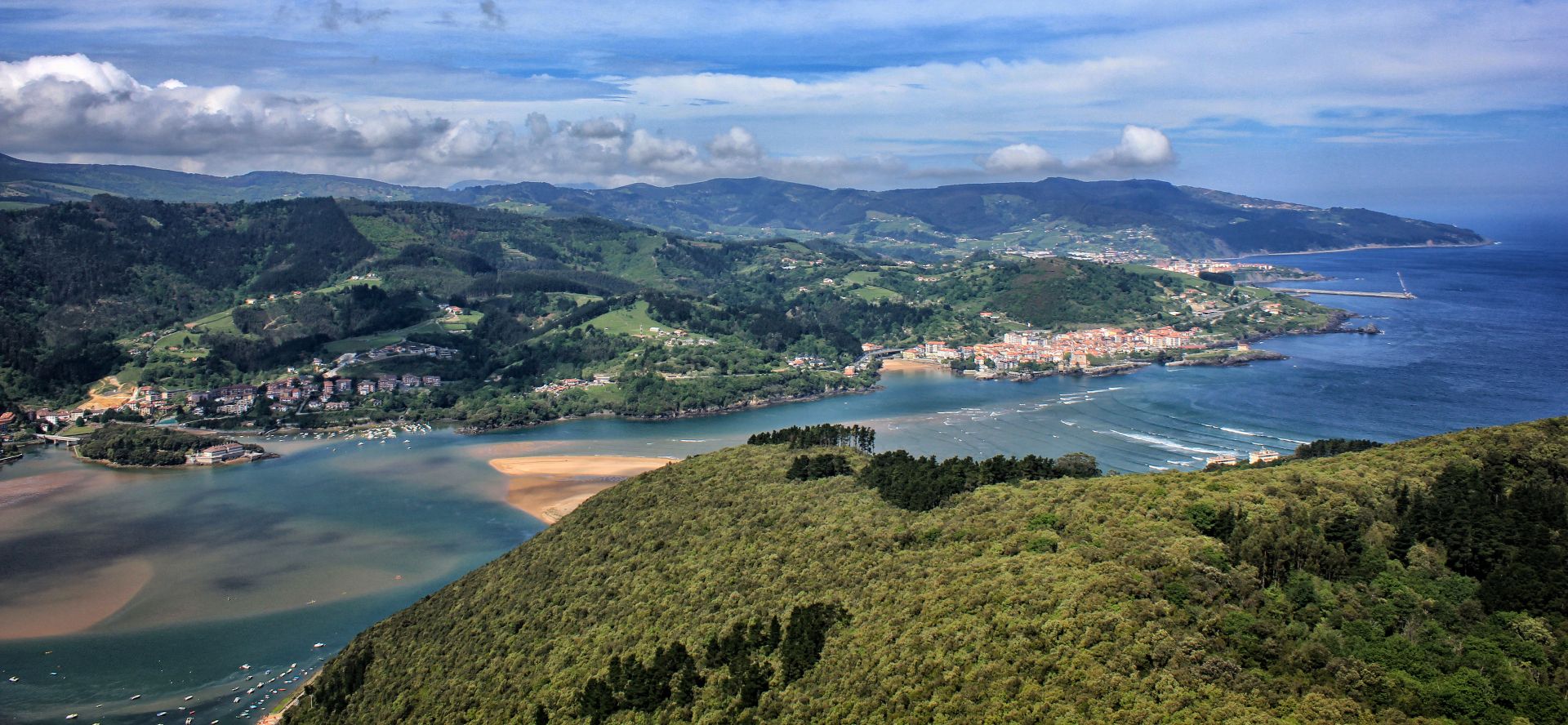
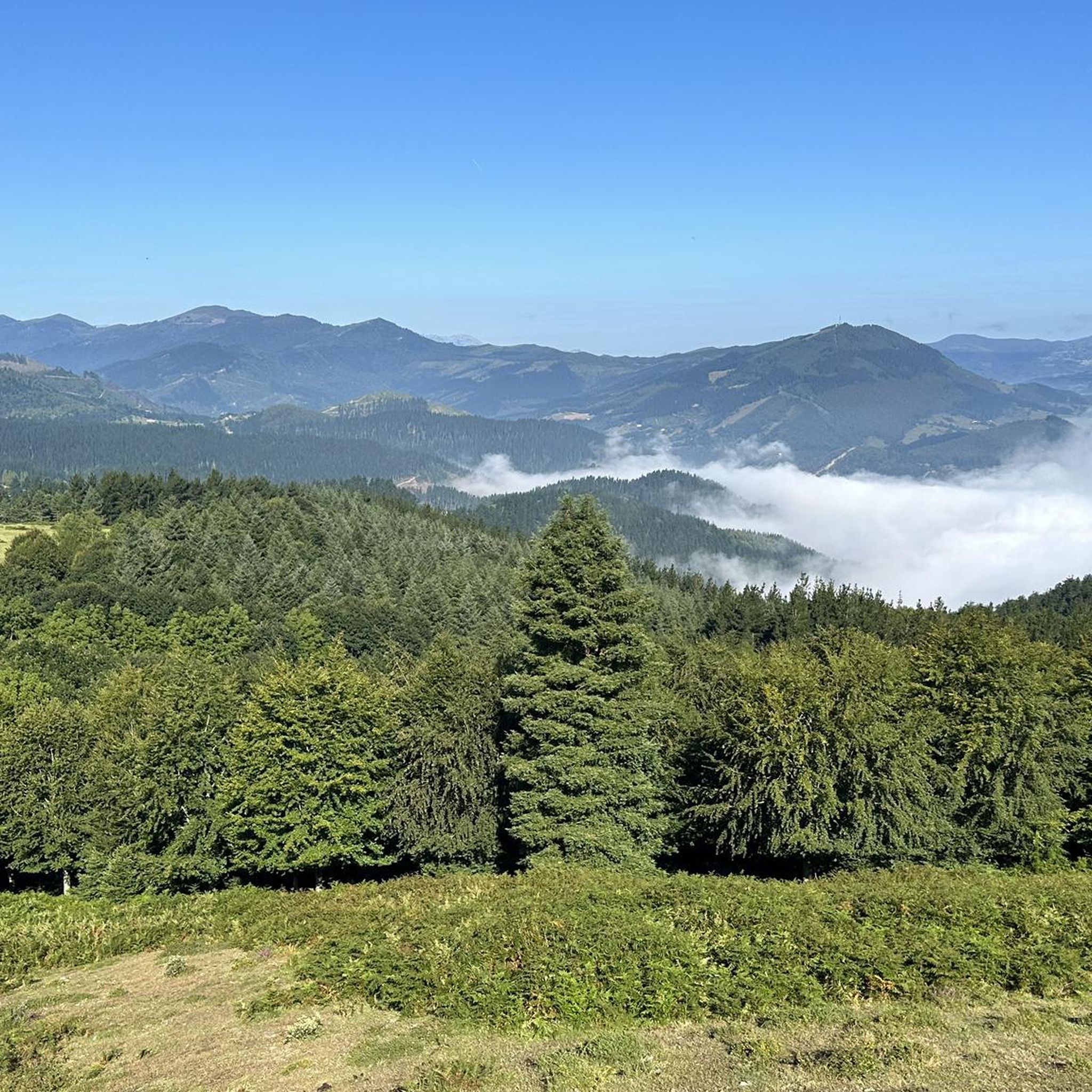
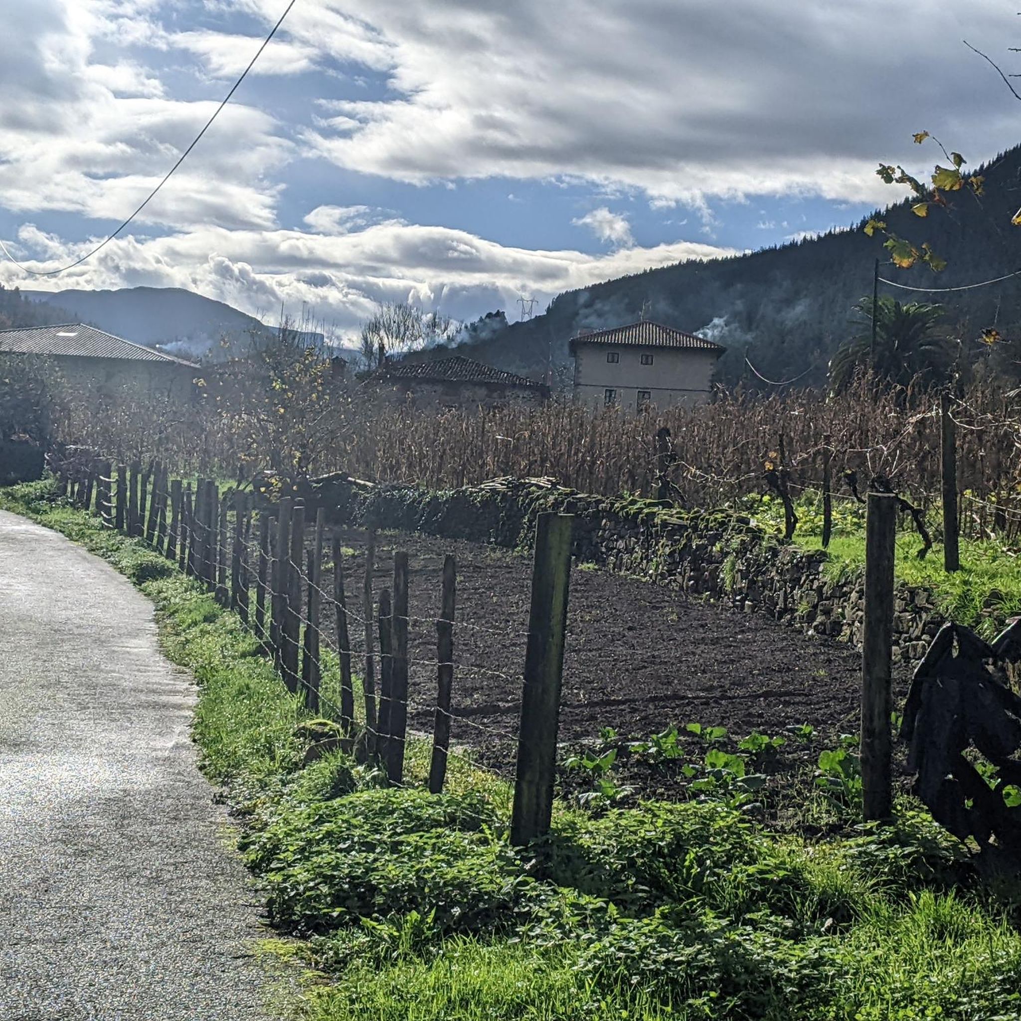
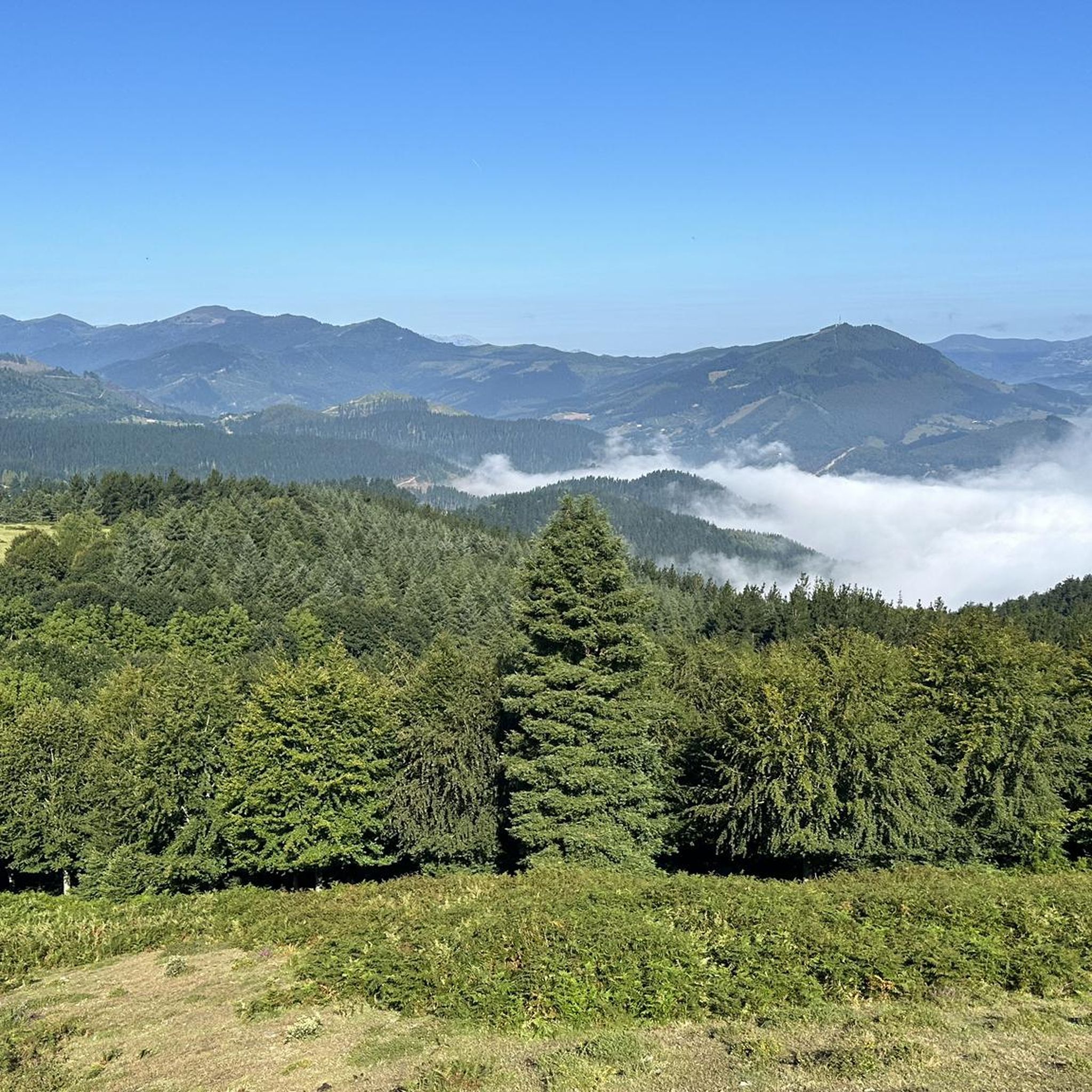
Mountaineering routes Gordexola traverse a region characterized by green meadows, dense beech forests, and significant mountainous terrain. The area features numerous peaks and considerable elevation changes, making it suitable for varied outdoor activities. Its geography, nestled in the Enkarterri region of Bizkaia, provides a scenic backdrop for challenging mountain treks.
Best mountaineering routes around Gordexola
- The most popular mountaineering route is Ganekondo / Gastarriaga – Ganekogorta loop from Bilbao Arena, a 10.1 miles (16.3 km) trail that takes 6…
Last updated: July 5, 2026
7
hikers
13.3km
04:33
700m
700m
Moderate mountaineering route. Good fitness required. Easily-accessible paths. Suitable for all skill levels.
5
hikers
16.1km
05:17
710m
710m
Hard mountaineering route. Very good fitness required. Easily-accessible paths. Suitable for all skill levels.

Sign up for free
2
hikers
Moderate mountaineering route. Good fitness required. Mostly accessible paths. Sure-footedness required.
Our route recommendations are based on thousands of hikes, rides, and runs completed by other people on komoot.
Start today with a free account
Your next adventure awaits.
Login or Signup

Other adventures around Gordexola

Tips from the Community

Telecommunications antennas next to the mailbox. This peak is included in the catalogue of Centenary Peaks of Euskal Herria. However, its fame goes to its neighbour Pagasarri.
0
0
Recognized as a top choice for fans in Bilbao and its surroundings.
0
0
Summit listed in the Catalogue of Centenaries
0
0


Beautiful place to take a break and nice with all those steep hills
12
0

Very easy and quite enjoyful hike with great view of Bilbao city at several point that reaches the top at a great spot to have a snack. Beautiful return through a different path across a pine tree forest and small trek to Gangoiti and Atxarte peaks.
0
0
Spectacular hermitage at the very top of Kolitza.
3
0
Frequently Asked Questions
What kind of terrain can I expect on mountaineering routes around Gordexola?
Mountaineering routes in Gordexola traverse a diverse landscape characterized by green meadows, dense beech forests, and significant mountainous terrain. You'll encounter considerable elevation changes and numerous peaks, offering a scenic backdrop for challenging treks. The region's geography, nestled in the Enkarterri area of Bizkaia, provides a rich variety of natural features.
Are there any circular mountaineering routes in Gordexola?
Yes, Gordexola offers several circular mountaineering routes. For instance, you can explore the challenging Ganekondo / Gastarriaga – Ganekogorta loop from Bilbao Arena, which covers about 16.3 km with over 900 meters of elevation gain. Another option is the moderate Kolitza Parking – Kolitza loop from Balmaseda, winding through scenic meadows and forests.
What are the difficulty levels of mountaineering routes in Gordexola?
The mountaineering routes around Gordexola cater to various skill levels. You'll find moderate paths like the Kolitza Parking – Kolitza loop from Balmaseda, which is about 12.6 km long with around 690 meters of ascent. For more experienced mountaineers, there are difficult routes such as the Ganekondo / Gastarriaga – Ganekogorta loop from Bilbao Arena, featuring over 900 meters of elevation gain over 16.3 km.
Are there any family-friendly hiking options in the Gordexola area?
While many routes are geared towards mountaineering, the broader Gordexola area does offer gentler options suitable for families. For example, the Molinar Route is described as an easy 7 km walk with 200 meters of elevation gain, ideal for family hikes. These routes often traverse pleasant riverside paths, such as those along the Herrerías River.
What kind of natural features or landmarks can I see along the routes?
The routes around Gordexola offer views of green meadows, dense beech forests, and numerous peaks. You might also encounter historical structures like the Oxirando and Zubiete towers along riverside paths. The region is rich in diverse flora and fauna. For broader natural attractions, you can explore highlights like the Gorostiza Reservoir or the View of the Ordunte Reservoir.
What do other mountaineers say about the routes in Gordexola?
The mountaineering routes in Gordexola are highly regarded by the komoot community, holding an average rating of 4.0 stars. Users often praise the varied terrain, the challenging ascents, and the scenic beauty of the green meadows and forests. Many appreciate the options available for different ability levels.
Are there any routes that lead to panoramic viewpoints?
Yes, the mountainous terrain around Gordexola naturally offers routes with excellent viewpoints. For instance, the Pagasarri Picnic Area – Mount Pagasarri loop from Ametzola leads to Mount Pagasarri, which is known for its panoramic views. Additionally, the Ilso Peak Viewpoint is another popular spot for scenic vistas in the region.
How long do mountaineering routes in Gordexola typically take to complete?
The duration of mountaineering routes in Gordexola varies significantly based on their length and difficulty. Moderate routes, such as the Kolitza Parking – Kolitza loop from Balmaseda (12.6 km), can take around 4 hours and 20 minutes. More challenging routes, like the Ganekondo / Gastarriaga – Ganekogorta loop from Bilbao Arena (16.3 km), typically require over 6 hours to complete.
Can I find shorter, moderate mountaineering routes in the area?
Absolutely. If you're looking for a shorter, moderate mountaineering experience, consider the Kamaraka – Mugarriluze loop from Ermuko Andre Mariaren santutegia. This route is approximately 7.3 km long with about 386 meters of elevation gain, making it a good option for a less strenuous but still rewarding mountain hike.
Are there any natural parks accessible from Gordexola for more extensive mountaineering?
While Gordexola itself offers great routes, its location in the Basque Country provides access to larger natural parks for more extensive mountaineering. Gorbea Natural Park, the largest in the Basque Country, is known for its emblematic Gorbea peak (1,482 meters) and numerous trails. Another option is Urkiola Natural Park, famous for its rugged limestone landscapes and the popular Anboto mountain. These parks offer a wide range of hiking and mountaineering opportunities.
What are some notable peaks I can summit around Gordexola?
The region around Gordexola features several notable peaks that are popular among mountaineers. While specific routes may vary, you can find trails leading to summits like Gallarraga (901 m) and Aguilatos (1677 m). The Ganekondo / Gastarriaga – Ganekogorta loop from Bilbao Arena also offers views of multiple summits, including Ganekogorta.
Most popular routes around Gordexola
Most popular attractions around Gordexola

Get inspired with the komoot mobile app


