The best walks and hikes around Gordexola
4.6
(871)
5,425
hikers
200
hikes
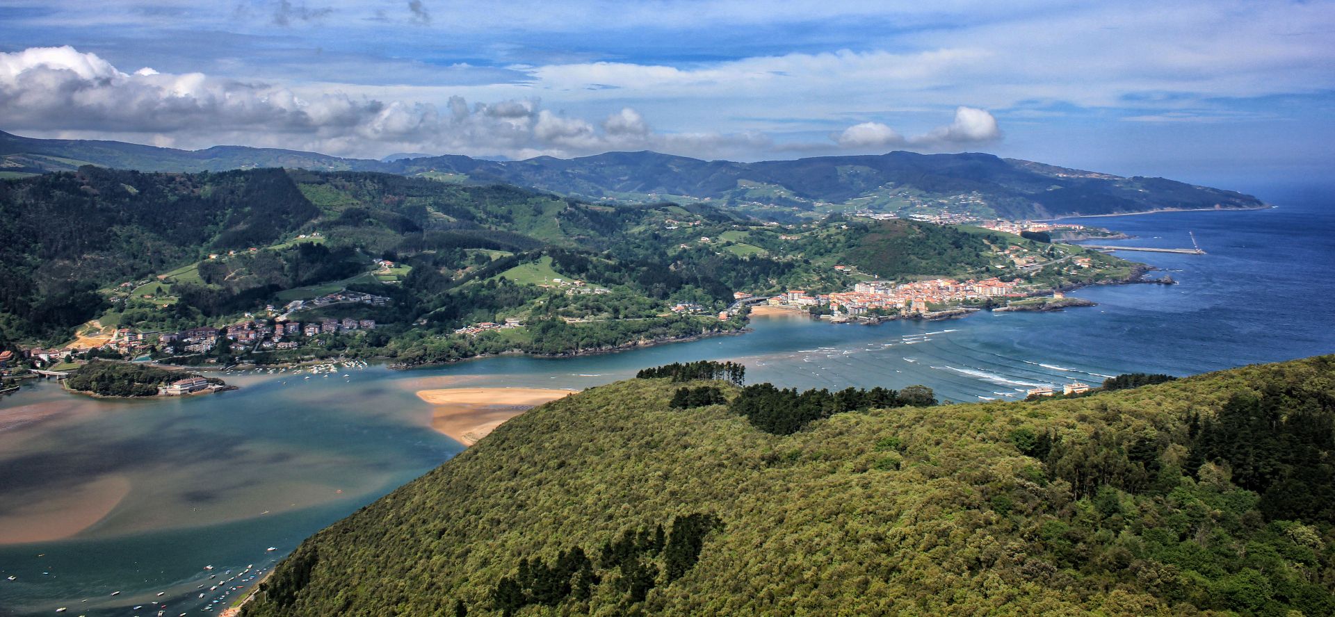
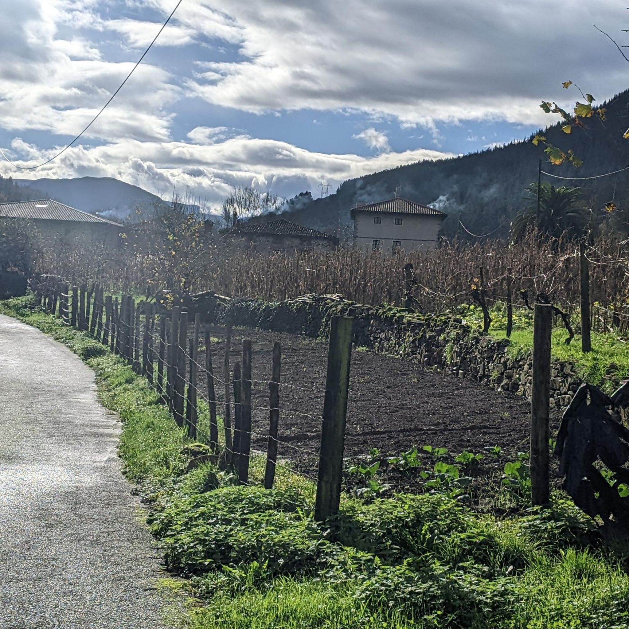
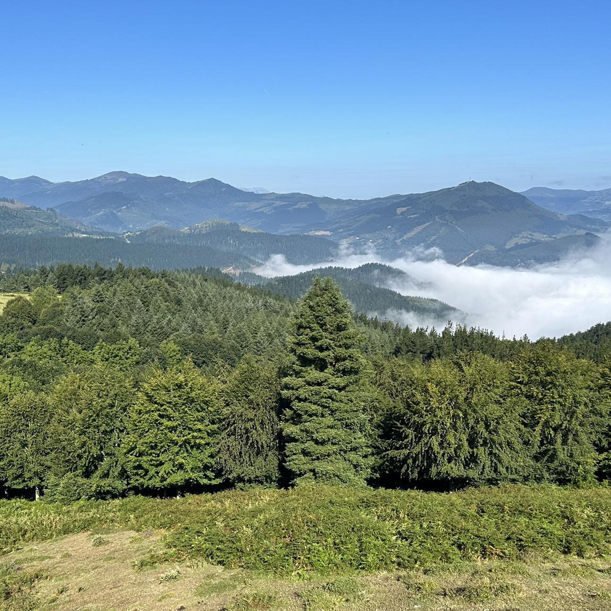
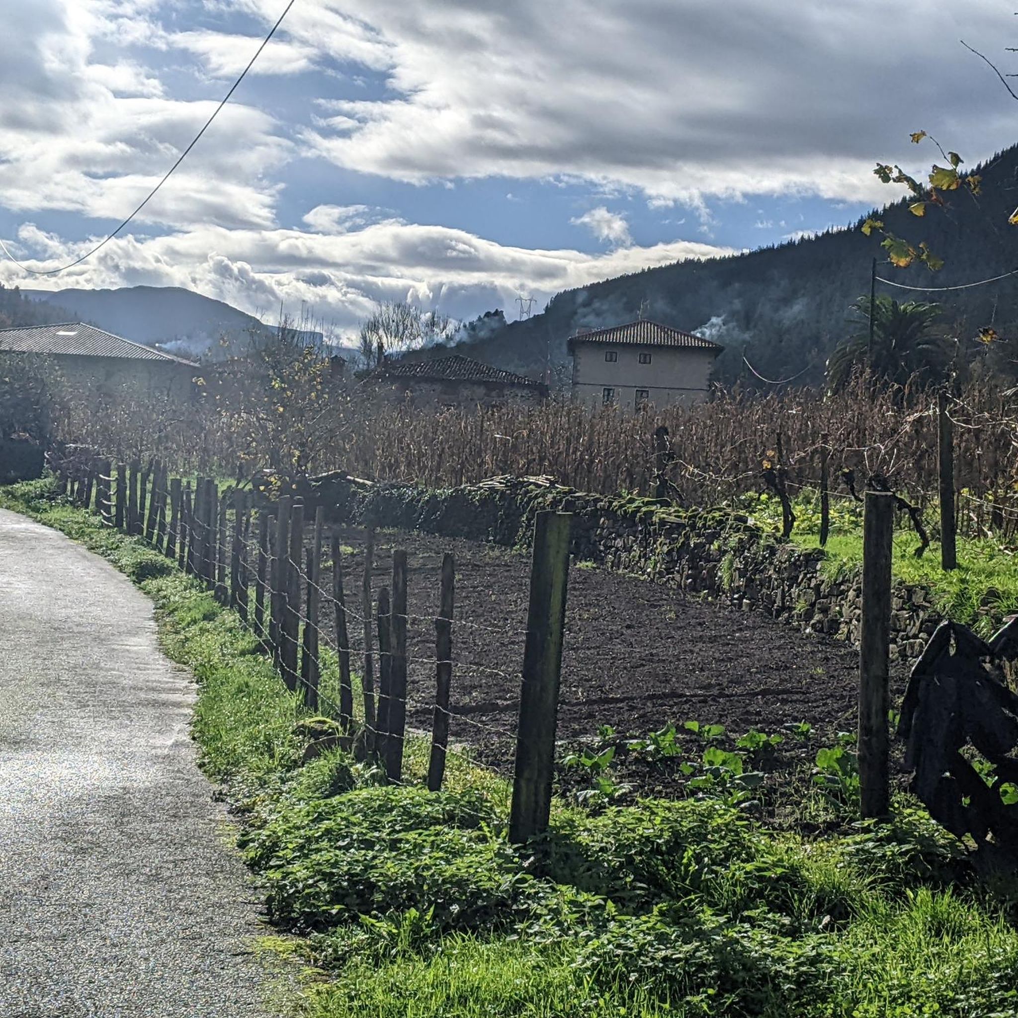
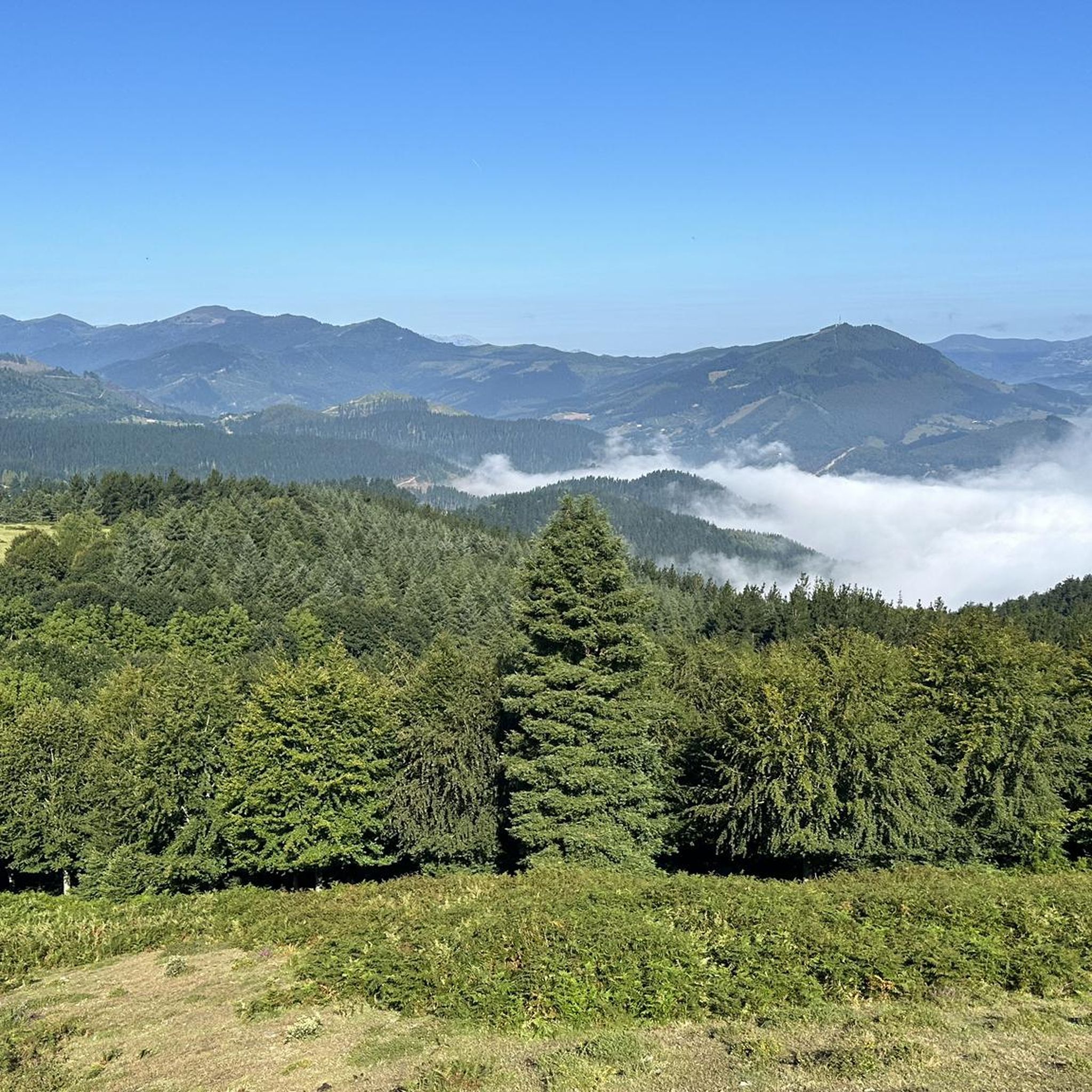
Hiking around Gordexola offers diverse terrain characterized by its hilly landscapes and the Herrerías river flowing through the region. The area features varied elevation changes and scenic viewpoints, making it suitable for outdoor exploration. Hikers can encounter remnants of ancient water channels and historical structures, blending natural beauty with cultural heritage. The surrounding environment includes forests and open areas, providing a range of hiking experiences.
Best hiking trails around Gordexola
- The most popular hiking route is Eretza and Grazal Stream…
Last updated: July 5, 2026
3.7
(9)
73
hikers
11.6km
04:23
790m
790m
Moderate hike. Good fitness required. Easily-accessible paths. Suitable for all skill levels.
4.9
(8)
38
hikers
8.76km
02:38
290m
290m
Moderate hike. Good fitness required. Easily-accessible paths. Suitable for all skill levels.

Sign up for free
4.0
(3)
27
hikers
13.4km
04:56
830m
830m
Moderate hike. Good fitness required. Easily-accessible paths. Suitable for all skill levels.
4.0
(7)
32
hikers
10.6km
03:10
340m
340m
Moderate hike. Good fitness required. Easily-accessible paths. Suitable for all skill levels.
5.0
(5)
22
hikers
5.16km
01:31
150m
150m
Easy hike. Great for any fitness level. Easily-accessible paths. Suitable for all skill levels.
Get access to more routes and recommendations from other explorers.
Sign up for free
Already have an account?
Our route recommendations are based on thousands of hikes, rides, and runs completed by other people on komoot.
Start today with a free account
Your next adventure awaits.
Login or Signup

Other adventures around Gordexola

Tips from the Community

quite muddy and slippery from the previous day's rain
1
0
A climb with a lot of mud and slippery since it had rained the day before
0
0

Duuuurious slopes up, but very good reward views.
2
0
Certainly, it is a perfect place for a walk.
2
0
It can only be accessed one or two meters, but it is interesting.
2
0
Beautiful hermitage next to a farmhouse.
2
0

A spectacular route. They have removed the support cable for the ascent and descent to the top of Gallarraga, which makes it dangerous. You can ascend and descend through the back, which, although hard, is not dangerous. The goal is to enjoy and return home to continue enjoying.
1
1

Frequently Asked Questions
How many hiking trails are available in Gordexola?
There are over 200 hiking trails around Gordexola, offering a wide range of options for outdoor enthusiasts. These routes vary in difficulty, ensuring there's something for every hiker.
What kind of terrain can I expect when hiking in Gordexola?
Gordexola's hiking terrain is characterized by its hilly landscapes and the Herrerías river. You can expect varied elevation changes, scenic viewpoints, and sections along the river. Routes often pass through forests and open areas, and you might encounter historical water channels and other remnants of the region's past.
What are the difficulty levels of hikes in Gordexola?
Gordexola offers a diverse range of hiking difficulties. You'll find approximately 37 easy routes, 130 moderate trails, and 37 more challenging hikes. This variety ensures options for different ability levels, from leisurely walks to more demanding ascents.
Are there circular hiking routes in Gordexola?
Yes, many of the hiking routes in Gordexola are circular, allowing you to start and end your journey at the same point. For example, the Eretza and Grazal Stream Loop and the Monte Ilso – Ilso Summit Viewpoint loop from Gordexola are popular circular options.
What historical sites or landmarks can I see while hiking in Gordexola?
Gordexola's hiking trails often blend natural beauty with rich historical heritage. You might encounter solid stone tower houses like Oxirando and Ibargüen, grand palaces such as Villa Cuba and Villa Bilbao, and religious architecture like the San Juan Church in Molinar or San Nicolás de Bari in Zaldu. Additionally, remnants of ancient water channels from the area's iron-making past can be found along routes.
Are there any viewpoints along the hiking trails in Gordexola?
Yes, the hilly terrain around Gordexola offers several scenic viewpoints. For instance, the Monte Ilso – Ilso Summit Viewpoint loop from Gordexola specifically leads to a prominent summit viewpoint, providing expansive vistas of the surrounding landscapes.
What do other hikers enjoy most about hiking in Gordexola?
The area is highly rated by the komoot community, with an average score of 4.5 stars from over 700 reviews. Hikers frequently praise the varied terrain, the blend of natural beauty with historical elements, and the well-maintained paths that offer diverse experiences for all skill levels.
Are there family-friendly hiking trails in Gordexola?
Yes, Gordexola offers several family-friendly hiking options. Many of the easier routes are suitable for families, providing pleasant walks through natural settings without overly challenging ascents. The Ilso Summit Viewpoint – Monte Ilso loop from Rigadas is an easy 5.2 km trail that could be a good option for families.
Can I hike with my dog in Gordexola?
Generally, dogs are welcome on hiking trails in Gordexola. However, it's always advisable to keep your dog on a leash, especially in areas with livestock or near protected wildlife. Please ensure you clean up after your pet to maintain the natural environment for everyone.
Where can I park for hiking trails in Gordexola?
Parking availability varies by trailhead. In Gordexola, you can typically find parking in or near the village centers, which often serve as starting points for many routes. For specific trailheads, it's recommended to check local signage or route descriptions for designated parking areas.
Is public transport available to reach trailheads in Gordexola?
Public transport options to specific trailheads in Gordexola may be limited. It's best to check local bus schedules for routes connecting to the main village or nearby towns. For more remote starting points, personal vehicle access is often more convenient.
Are there cafes or restaurants near the hiking trails in Gordexola?
Yes, Gordexola village has cafes and restaurants where you can refuel before or after your hike. These establishments offer local cuisine and refreshments. While not directly on every trail, they are usually accessible from common starting and ending points.
What is the best time of year to hike in Gordexola?
The best time to hike in Gordexola is generally during spring (April to June) and autumn (September to October) when the weather is mild and the landscapes are particularly vibrant. Summer can also be pleasant, though it can get warmer. Winter hiking is possible, but some higher elevation trails might be more challenging due to weather conditions.
Are there any natural parks near Gordexola worth exploring?
While Gordexola itself is not within a natural park, the wider Bizkaia province, where Gordexola is located, boasts impressive Natural Parks such as Urkiola, Gorbeia, and Armañón. These parks feature diverse landscapes including forests, limestone peaks, and caves, offering additional hiking opportunities. You can find more information about the natural parks in the region at visitbiscay.eus.
Most popular routes around Gordexola
Most popular attractions around Gordexola

Get inspired with the komoot mobile app


Explore more
Browse the best Hikes in other regions.
