The best mountain hikes around San Didero
4.0
(3)
40
hikers
3
hikes
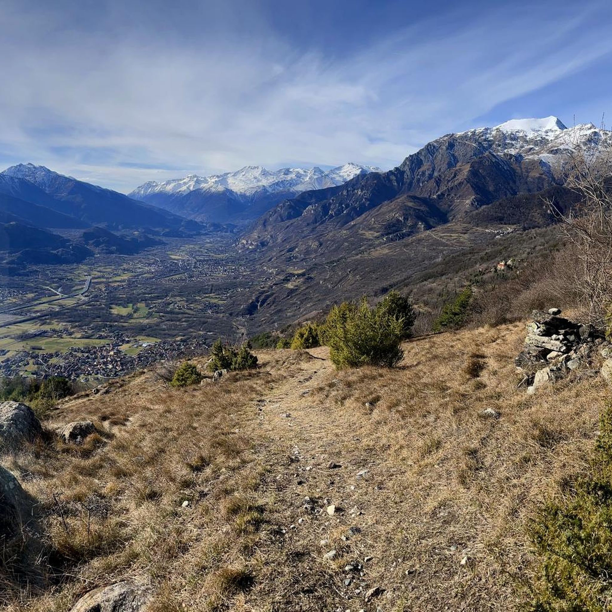
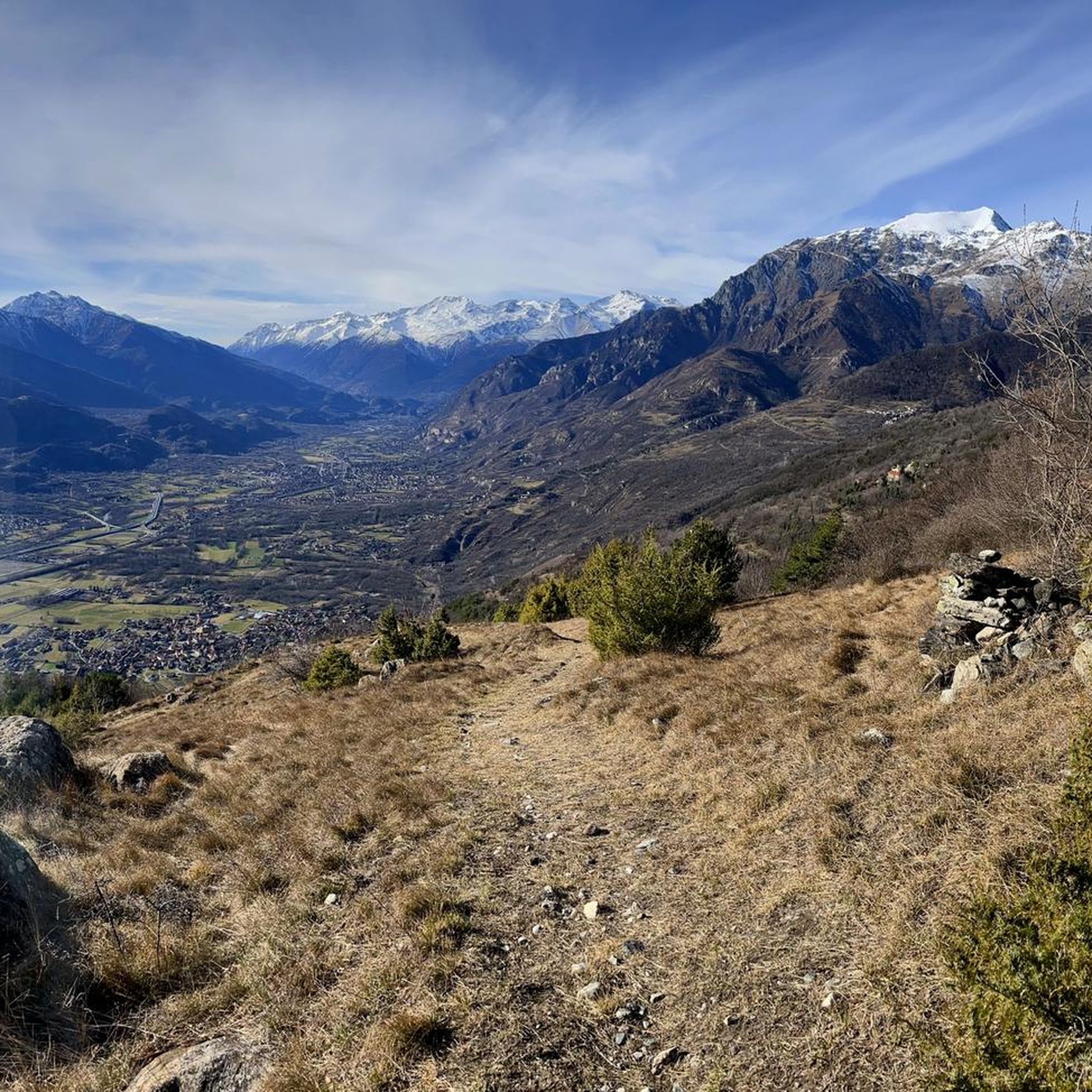
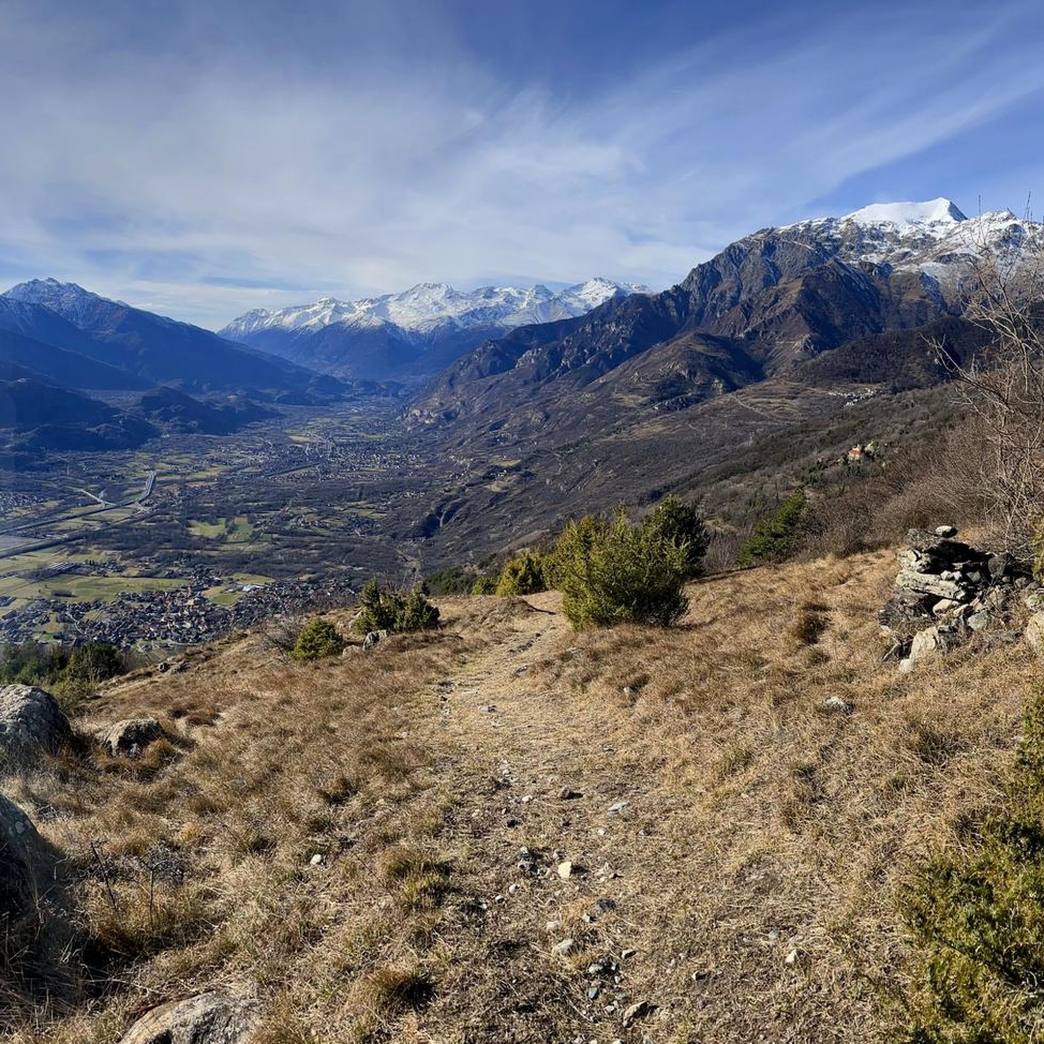
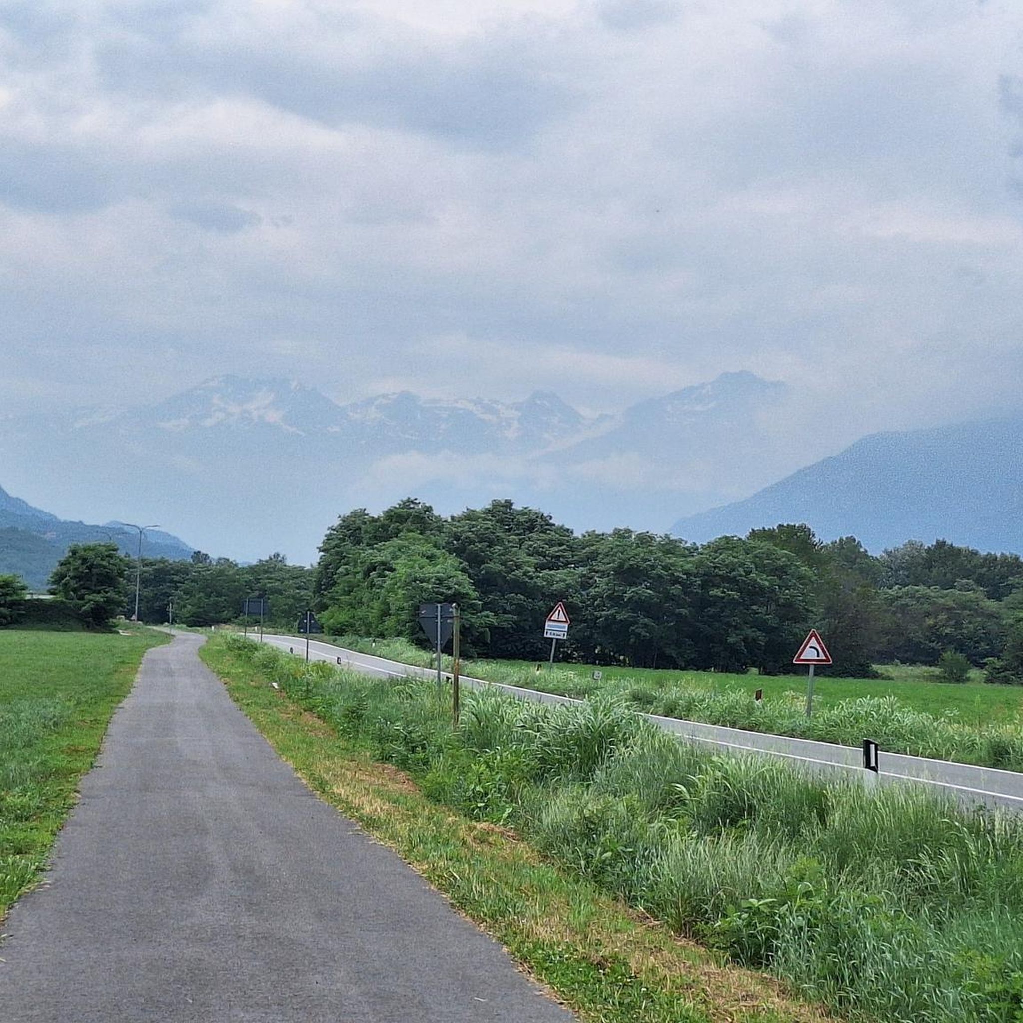
Mountaineering routes around San Didero are situated within Italy's Val di Susa, a region characterized by diverse mountain landscapes and valleys. The area provides access to significant peaks and is home to the Orsiera-Rocciavrè Natural Park. This terrain features dramatic mountain peaks, deep valleys, and varied elevations suitable for mountaineering.
Best mountaineering routes around San Didero
- The most popular mountaineering route is Rifugio Rocca Sella loop from Caprie, a 2.4 miles (3.9 km) trail that takes 2 hours 24…
Last updated: July 4, 2026
11
hikers
3.89km
02:25
460m
460m
Hard mountaineering route. Good fitness required. Sure-footedness, sturdy shoes and alpine experience required.
6
hikers
8.80km
05:04
900m
900m
Hard mountaineering route. Very good fitness required. Sure-footedness, sturdy shoes and alpine experience required.

Sign up for free
5.0
(1)
3
hikers
3.14km
02:01
370m
370m
Hard mountaineering route. Good fitness required. Sure-footedness, sturdy shoes and alpine experience required.
3
hikers
11.4km
05:07
800m
800m
Hard mountaineering route. Very good fitness required. Sure-footedness, sturdy shoes and alpine experience required.
4
hikers
12.9km
07:10
1,190m
1,190m
Hard mountaineering route. Very good fitness required. Sure-footedness, sturdy shoes and alpine experience required.
Our route recommendations are based on thousands of hikes, rides, and runs completed by other people on komoot.
Start today with a free account
Your next adventure awaits.
Login or Signup

Tips from the Community

Colle Croce di Ferro is an Alpine pass in the Graian Alps that connects the Susa Valley with the Viù Valley. Administratively, it marks the border between the municipalities of Bussoleno and Usseglio.
0
0

Accessible from multiple directions, both on asphalt and trail. Ideal stopping point
1
0
In the Orsiera Rocciavrè park. Reachable only by paths, not all of which are ideal for MTB. The effort is rewarded by this splendid place.
1
0


The Valgravio refuge, near the Gravio stream, was built in 1928, then destroyed during the Second World War, rebuilt and expanded after the war. Today it is an essential destination for those who walk in the Orsiera-Rocciavré park. The manager, Mario Sorbino, keeps the dining room and the rooms in the best possible condition.
1
0

Starting point for trekking trails
0
0

Refuge and restaurant, excellent base in the Celle hamlet, at the start of the paths that lead to the top of Mount Rocca Sella
1
0
Frequently Asked Questions
What kind of mountaineering routes can I find around San Didero?
Mountaineering routes around San Didero are primarily challenging, situated within Italy's Val di Susa. The area features dramatic mountain peaks, deep valleys, and access to significant summits like Rocciamelone. All routes listed in this guide are rated as difficult, offering ascents through rugged mountain terrain and rocky outcrops.
How many mountaineering routes are available in this guide for San Didero?
This guide features 4 distinct mountaineering routes around San Didero, all of which are classified as difficult. These routes offer challenging ascents and descents through the region's varied mountain landscapes.
Are there any circular mountaineering routes in the San Didero area?
Yes, several circular routes are available. For example, you can explore the Rifugio Rocca Sella loop from Caprie, the Rocca Bianca loop from Caprie, or the Rocca Patanua loop from Maffiotto. These loops provide varied terrain and stunning views.
What are some notable peaks or natural features to look out for during mountaineering in this region?
The region offers access to prominent peaks like Rocciamelone, standing at 3,538 meters, which is a popular mountaineering destination. You'll also encounter the rugged wilderness of the wider Piedmontese Alps and the diverse landscapes of the Val di Susa, including the Orsiera-Rocciavrè Natural Park.
Are there any lakes or waterfalls near the mountaineering routes?
While the immediate routes focus on mountain ascents, the broader Susa Valley region features attractive natural water bodies. These include the two small, morainic Avigliana lakes and the Novalesa waterfalls, which are notable natural attractions in the vicinity.
What do other mountaineers say about the routes around San Didero?
The mountaineering routes around San Didero are highly rated by the komoot community, with an average score of 4.0 stars from several reviews. Over 50 mountaineers have used komoot to explore this varied terrain, often praising the challenging ascents and dramatic mountain scenery.
Are there any family-friendly mountaineering options in San Didero?
The mountaineering routes listed in this guide are all classified as difficult, requiring good fitness and alpine experience. For families seeking more leisurely outdoor pursuits, the broader Val di Susa offers a wider array of activities, though specific family-friendly mountaineering routes are not featured here.
What kind of wildlife might I encounter on the trails?
The Val di Susa and the Orsiera-Rocciavrè Natural Park, where these routes are located, are home to diverse alpine wildlife. While specific sightings vary, you might encounter various bird species, chamois, or ibex in the higher elevations, and smaller mammals in the forested areas.
Are there any interesting landmarks or points of interest near the mountaineering routes?
Yes, there are several points of interest nearby. You could visit the historic Sacra di San Michele, or explore mountain huts like Amprimo Mountain Hut and Toesca Hut. The Path of the Princes is also a notable trail in the vicinity.
What is the longest mountaineering route featured in this guide?
The longest mountaineering route in this guide is the Truc Muandette – Punta Sbaron loop from Prato del Rio, which spans approximately 13.2 kilometers (8.2 miles) and involves significant elevation gain.
Is there a route that offers a good challenge for experienced mountaineers?
All routes in this guide are rated as difficult, providing a significant challenge. For a substantial ascent, consider the Rocca Patanua loop from Maffiotto, which covers nearly 8.8 kilometers (5.5 miles) with over 900 meters (2,950 feet) of elevation gain.
Most popular routes around San Didero
Most popular attractions around San Didero

Get inspired with the komoot mobile app


Explore more
Browse the best Mountain Hikes & Routes in other regions.
