The best mountain hikes around Pomaretto
25
hikers
3
hikes
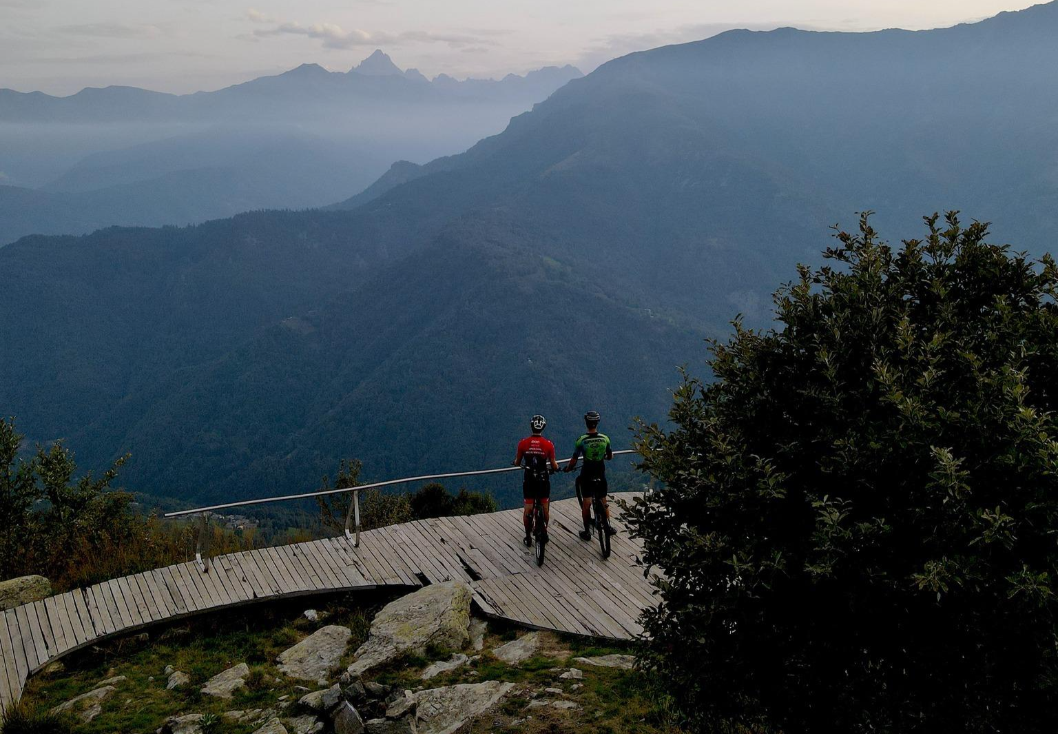
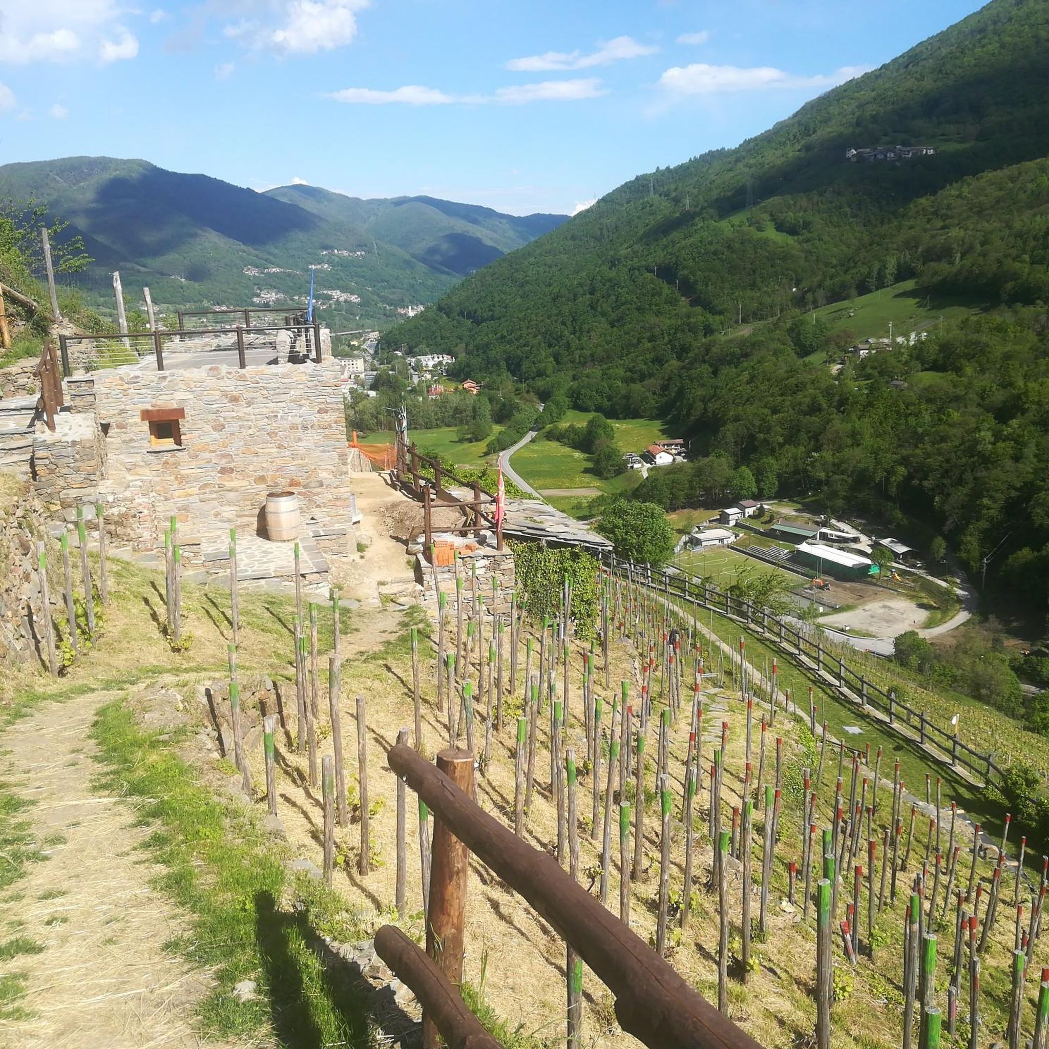
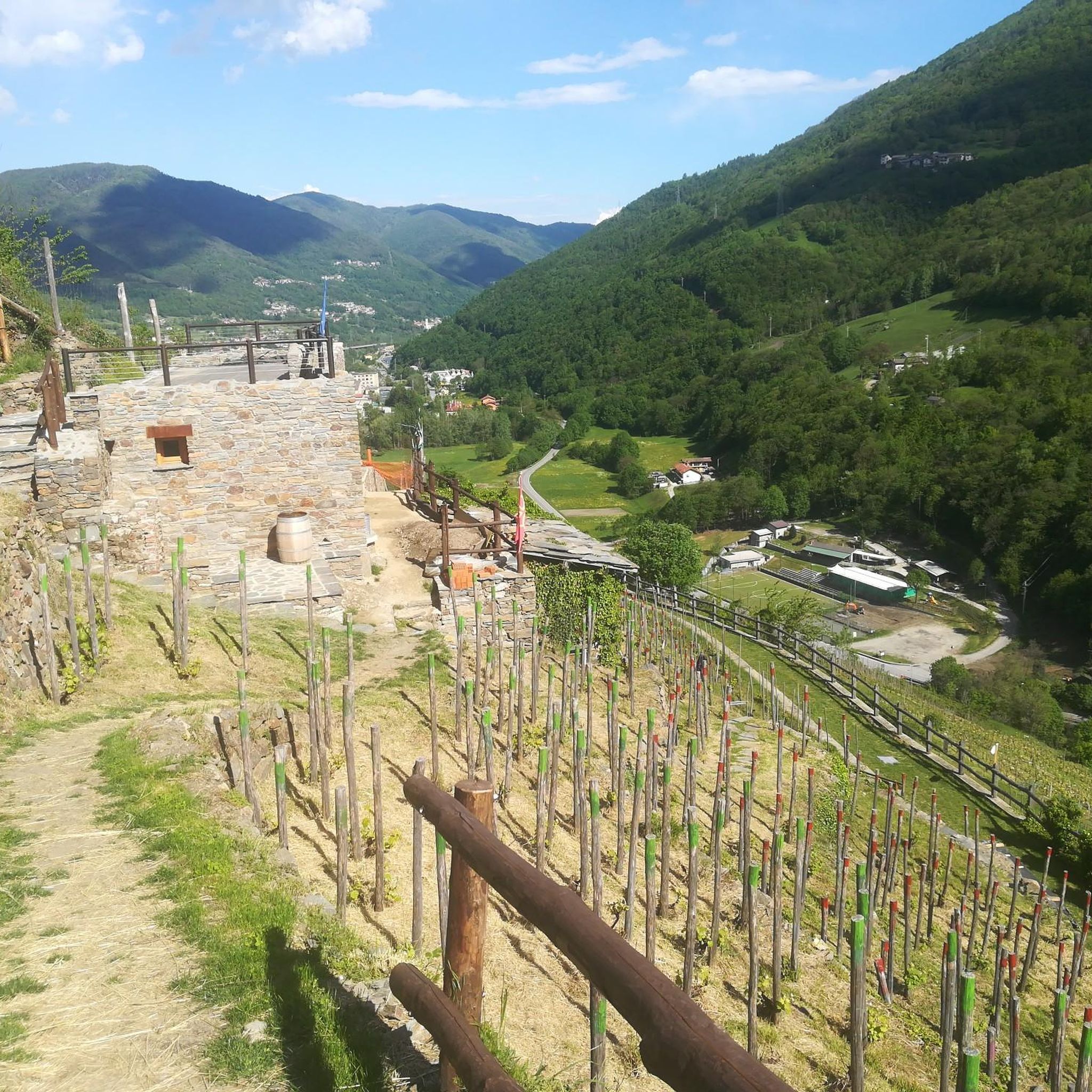
Mountaineering routes around Pomaretto are situated in Italy's Val Germanasca, a region characterized by rugged alpine landscapes and an extensive network of trails. The area features majestic mountain peaks, including Monte Freidour at 1445m, and challenging mountain passes such as Colle del Crò. Dense forests of beech and birch trees cover the mountain slopes, adding to the natural beauty of the terrain. This environment provides a robust setting for outdoor activities, offering challenging routes with significant elevation gains.
Best mountaineering…
Last updated: July 4, 2026
20
hikers
4.84km
01:29
130m
130m
Hard mountaineering route. Great for any fitness level. Sure-footedness, sturdy shoes and alpine experience required.
3
hikers
16.0km
07:49
1,180m
1,180m
Hard mountaineering route. Very good fitness required. Sure-footedness, sturdy shoes and alpine experience required.

Sign up for free
2
hikers
5.56km
01:41
190m
180m
Easy mountaineering route. Great for any fitness level. Easily-accessible paths. Suitable for all skill levels.
Our route recommendations are based on thousands of hikes, rides, and runs completed by other people on komoot.
Start today with a free account
Your next adventure awaits.
Login or Signup

Other adventures around Pomaretto

Tips from the Community

Crossroads of paths with beautiful views all around.
0
0

Great refuge, easily accessible to anyone, on foot or by bike.
0
0

Hill near the Melano Refuge (Casa Canada)
0
0
A good starting and arrival point for many trails. You'll be spoiled for choice.
0
0

I don't want to be wrong, but it's not the Lemina, it's the Noce. The Lemina rises and flows further West, near the Dairin hamlet
0
0

beautiful refuge, well worth entering
0
0
Frequently Asked Questions
How many mountaineering routes are available around Pomaretto?
There are several mountaineering routes around Pomaretto, offering a range of difficulties. This guide features three distinct routes, including one easy and two difficult options, catering to different experience levels.
What kind of terrain can I expect on mountaineering routes in the Germanasca Valley?
Mountaineering routes in the Germanasca Valley feature rugged alpine landscapes, dense forests of beech and birch trees, and challenging mountain passes. You'll encounter significant elevation gains and varied terrain, from forested slopes to high alpine environments.
Are there any easy mountaineering routes suitable for beginners or those seeking a less strenuous experience?
Yes, for those seeking an easier mountaineering experience, consider the Colle del Crò loop from Crò. This route is approximately 5.6 km long with about 188 meters of elevation gain, typically taking around 1 hour 41 minutes to complete.
What are some of the more challenging mountaineering routes in the area?
For experienced mountaineers, two challenging options are the Melano Mountain Hut (Casa Canada) – Ciardonet Pass loop from Crò, a difficult 4.8 km route with 132 meters of ascent, and the Monte Cucetto – Punta dell'Aquila Summit Cross loop from Rocceria, a demanding 16.0 km path with over 1176 meters of elevation gain, leading to a prominent summit cross.
What natural landmarks or viewpoints can I expect to see along the mountaineering routes?
The routes offer access to stunning natural landmarks and viewpoints. You can explore areas like Colle Vaccera, known for its panoramic views, and reach summits such as Punta dell'Aquila and Mount Cucetto. The region is also home to Monte Freidour RAF Memorial and Monte Sette Confini.
What is the best time of year for mountaineering in Pomaretto?
The best time for mountaineering in Pomaretto and the Germanasca Valley is generally from late spring through early autumn (May to October). During these months, the weather is more stable, and trails are typically free of snow, offering optimal conditions for ascents and treks. Always check local weather and trail conditions before heading out.
Are there any circular mountaineering routes available?
Yes, several routes are designed as loops, allowing you to start and end at the same point. Examples include the Melano Mountain Hut (Casa Canada) – Ciardonet Pass loop from Crò and the Colle del Crò loop from Crò.
What are the highest peaks in the Germanasca Valley region?
The Germanasca Valley is surrounded by impressive peaks, many exceeding 3,000 meters. Notable summits include Gran Queyron (3,060 m), Bric Ghinivert (3,037 m), Monte Barifreddo (3,028 m), and Bric Rosso (3,026 m), offering challenging ascents and breathtaking views.
What do other mountaineers say about the routes around Pomaretto?
The routes around Pomaretto are explored by many komoot users, with over 20 mountaineers having used komoot to navigate the varied terrain. Users often appreciate the challenging ascents and the stunning alpine scenery of the Germanasca Valley.
Is public transport available to reach the trailheads near Pomaretto?
While specific public transport details for each trailhead can vary, Pomaretto is located in the Germanasca Valley, which has some regional bus services. It's advisable to check local bus schedules from larger towns like Pinerolo to Pomaretto and then consider local options or a short taxi ride to reach specific trail starting points.
Where can I find parking for mountaineering routes near Pomaretto?
Parking availability varies by trailhead. For routes starting from Crò, such as the Melano Mountain Hut (Casa Canada) – Ciardonet Pass loop or the Colle del Crò loop, you can typically find parking in or near the hamlet of Crò. For routes like the Monte Cucetto – Punta dell'Aquila Summit Cross loop, look for designated parking areas in Rocceria or nearby villages.
Most popular routes around Pomaretto
Most popular attractions around Pomaretto

Get inspired with the komoot mobile app


Explore more
Browse the best Mountain Hikes & Routes in other regions.
