The best mountain hikes around Wienerwaldsee
9
hikers
2
hikes
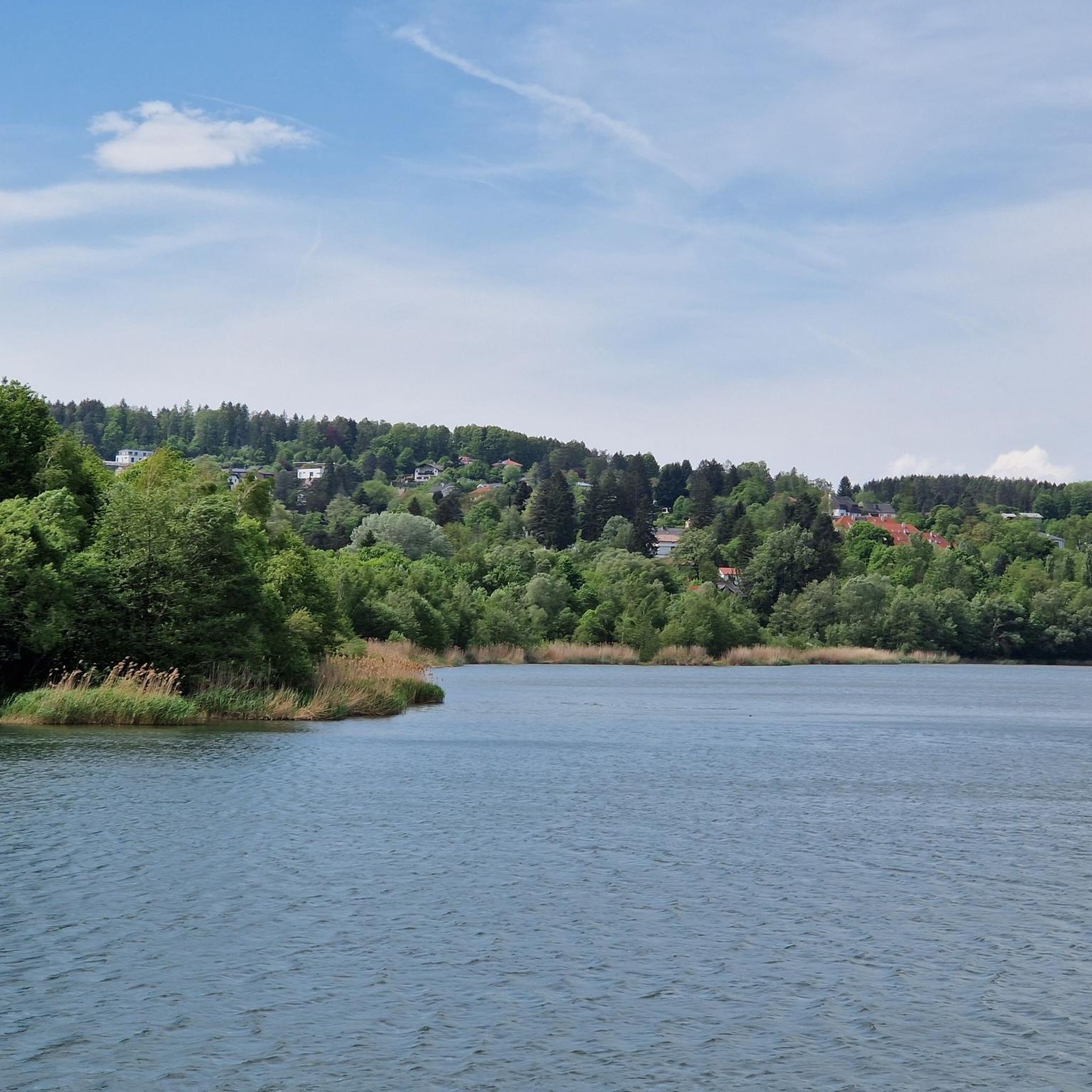
Mountaineering routes around Wienerwaldsee offer varied terrain within the Vienna Surroundings. The region is characterized by rolling hills, dense woodlands, and a network of trails that provide access to elevated viewpoints. These routes often traverse forested slopes and open meadows, with moderate elevation gains suitable for a range of abilities. The landscape around Wienerwaldsee is part of the larger Wienerwald (Vienna Woods) biosphere reserve, featuring a mix of deciduous and coniferous trees.
Best mountaineering routes around Wienerwaldsee
- The most popular mountaineering route is Hengstl (619 m) – Trail on Hengstlberg loop from Katastralgemeinde Hochroterd, a 5.4 miles (8.7 km) trail that takes 2 hours 35 minutes to complete. This moderate circular mountaineering route ascends to the Hengstl peak, offering views over the surrounding Wienerwald.
- Another top favourite among local mountaineers is Swings at Sophienalpe – Spital Meadow loop from Penzing, a moderate 5.7 miles (9.1 km) path. This route winds through the forested areas near Sophienalpe, featuring gentle ascents and descents.
- Local mountaineers also love the Maurer Wald – Rodaun Parish Church loop from Biosphärenpark Wienerwald Kernzone Hollergraben, a 7.8 miles (12.6 km) trail leading through Maurer Wald, often completed in about 3 hours 35 minutes.
- Mountaineering around Wienerwaldsee is defined by dense woodlands, rolling hills, and accessible trails, with options for moderate ascents. The network offers routes suitable for different ability levels, including beginner mountaineering Wienerwaldsee options.
- The guide includes highly-rated routes that showcase the best of the region's landscape. More than 8 mountaineers have used komoot to explore Wienerwaldsee's varied terrain.
Last updated: October 7, 2026
2
hikers
Moderate mountaineering route. Good fitness required. Easily-accessible paths. Suitable for all skill levels.
3
hikers
8.99km
02:47
280m
280m
Moderate mountaineering route. Good fitness required. Mostly accessible paths. Sure-footedness required.

4
hikers
Moderate mountaineering route. Good fitness required. Easily-accessible paths. Suitable for all skill levels.
Our route recommendations are based on thousands of hikes, rides, and runs completed by other people on komoot.
Start today with a free account
Your next adventure awaits.

Tips from the Community

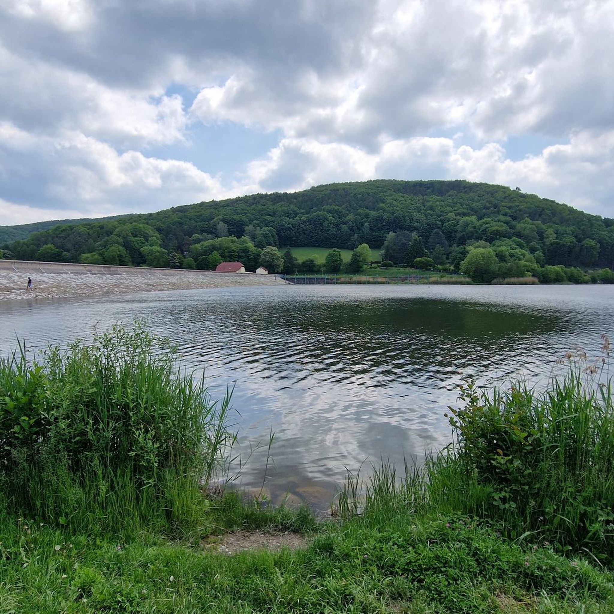
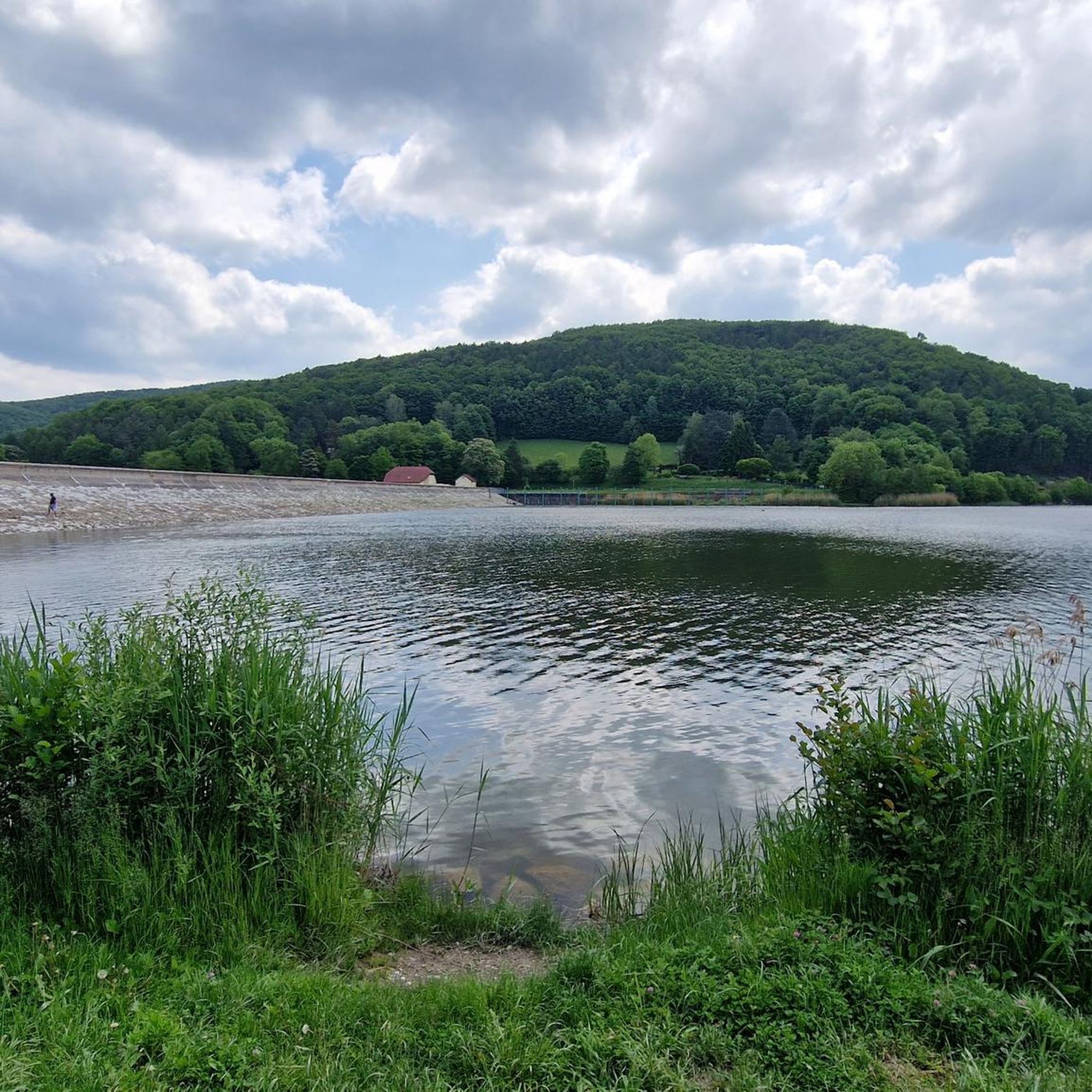
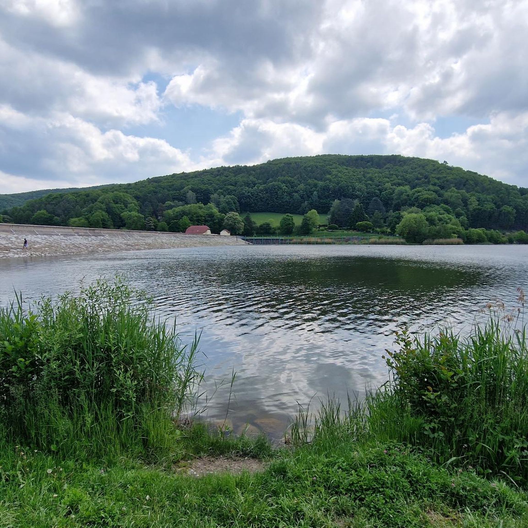
The Spitalwiese is a wide, sunny meadow at the edge of the forest, perfect for a relaxing break in nature. Here you can sit in the grass, let your gaze wander across the open space, and listen to the buzzing of insects. It's ideal as a quiet stop on hikes, runs, or bike rides.
3
0
The Mostalm is permanently closed and no longer operates as a refreshment stop. The building is empty and now serves only as a landmark for hikers exploring the Vienna Woods. Please observe all barriers and signs on site and use other huts or inns for your breaks.
3
1


A wide, partly straight forest path leads over the Hengstlberg and offers a great view.
2
0
Howdy, I visited this mountain as part of my dwarf mountain tour series: My goal is to climb every mountain in the Vienna Woods -> https://www.komoot.de/collection/2517195/-zwergbergtouren-im-wienerwald
5
0

The Maurer Forest is a beautiful excursion destination on the outskirts of Vienna. It offers many hiking trails, nature experiences and cultural sights. Here is some information that you might find interesting: The Maurer Forest is about 4 km² in size and belongs mostly to the 23rd district of Vienna, Liesing. It is part of the European protected area Wienerwald-Thermenregion and the Wienerwald Biosphere Park. The highest point of the Maurer Forest is the Wilde Berg at 371 m above sea level. From there you have a beautiful view of the city and the surrounding area. In the center of the Maurer Forest is the Zur Schießstätte excursion restaurant, which is named after a former civil and military shooting range. The inn was built in 1865 and made available to the municipality of Mauer in 1875. On the eastern edge of the forest near Mauer is the Sterngarten open-air planetarium, where you can observe the starry sky. The Sterngarten was built by the Austrian Astronomical Society and is open to the public. The Maurer Forest is geologically very diverse and has several limestone cliffs and flint zones. The oldest traces of settlement in Vienna's urban area, dating back to the Paleolithic period, were found on the Antonshöhe around 1930.
3
0

As it stands, unfortunately permanently closed (05/01/2023)
7
1
Wonderful, the restaurant is open again.
5
1
Frequently Asked Questions
What kind of mountaineering routes can I expect around Wienerwaldsee?
The Wienerwaldsee region, part of the larger Wienerwald biosphere reserve, offers mountaineering routes characterized by rolling hills, dense woodlands, and moderate elevation gains. You'll find a network of trails traversing forested slopes and open meadows, suitable for a range of abilities.
Are there any easy mountaineering routes for beginners near Wienerwaldsee?
While the routes featured in this guide are generally moderate, the Wienerwaldsee area is known for its accessible trails. Many paths offer gentle ascents and descents through the woodlands, making them suitable for those new to mountaineering or looking for a less strenuous experience. For example, the Hengstl (619 m) – Trail on Hengstlberg loop from Katastralgemeinde Hochroterd is a moderate route that provides a good introduction to the region's terrain.
How long do mountaineering routes typically take around Wienerwaldsee?
The duration of mountaineering routes around Wienerwaldsee varies. For instance, the Swings at Sophienalpe – Spital Meadow loop from Penzing typically takes around 2 hours 42 minutes to complete, covering about 9.1 km. Longer routes, like the Maurer Wald – Rodaun Parish Church loop from Biosphärenpark Wienerwald Kernzone Hollergraben, can take approximately 3 hours 35 minutes for 12.6 km.
Are there circular mountaineering routes available in the Wienerwaldsee area?
Yes, many mountaineering routes around Wienerwaldsee are designed as circular loops, allowing you to start and end at the same point. The Hengstl (619 m) – Trail on Hengstlberg loop from Katastralgemeinde Hochroterd is a popular moderate circular route that ascends to the Hengstl peak.
Is the Wienerwaldsee area suitable for family-friendly mountaineering?
The rolling hills and well-maintained trails of the Wienerwaldsee region make it a good choice for families. Many paths are not overly steep and offer pleasant walks through nature. It's advisable to check the specific route details for distance and elevation to ensure it matches your family's capabilities.
Can I bring my dog on the mountaineering trails around Wienerwaldsee?
Generally, dogs are welcome on the trails in the Wienerwaldsee region, provided they are kept on a leash, especially in designated protected areas or near wildlife. It's always a good idea to carry water for your dog and be mindful of other hikers and local regulations.
What is the best time of year for mountaineering around Wienerwaldsee?
The Wienerwaldsee region is enjoyable for mountaineering throughout much of the year. Spring brings blooming wildflowers, summer offers lush green forests, and autumn transforms the landscape with vibrant fall colors. Winter mountaineering is also possible, though some trails may be icy or snowy, requiring appropriate gear and caution.
Are there places to eat or have a coffee near the mountaineering routes?
Yes, the Wienerwald region is dotted with traditional taverns (Heuriger) and cafes, especially in the villages surrounding Wienerwaldsee. You can often find opportunities to stop for refreshments or a meal after your hike, enjoying local Austrian cuisine.
What should I wear for mountaineering in the Wienerwaldsee area?
Given the varied terrain and potential for changing weather, it's recommended to wear sturdy hiking boots, layered clothing, and waterproof outerwear. Even on moderate routes, proper footwear provides stability and comfort. Don't forget water, snacks, and sun protection.
How accessible are the mountaineering routes around Wienerwaldsee by public transport?
The Wienerwaldsee region is relatively well-connected to Vienna by public transport, making many trailheads accessible. Buses and local trains serve various towns and villages in the Wienerwald, from where you can often start your mountaineering adventure. It's best to check specific route starting points for the most convenient public transport options.
Are there parking facilities available near the trailheads?
Yes, many popular trailheads and starting points for mountaineering routes around Wienerwaldsee offer designated parking areas. These can range from small roadside pull-offs to larger parking lots in or near villages. It's advisable to arrive early, especially on weekends, as spaces can fill up quickly.
What makes the Wienerwaldsee area unique for mountaineering?
The Wienerwaldsee area stands out for its unique blend of accessible nature and proximity to Vienna. As part of the Wienerwald biosphere reserve, it offers a rich natural environment with diverse flora and fauna, rolling hills, and dense forests, providing a peaceful escape from city life without venturing too far.
Most popular routes around Wienerwaldsee
Most popular attractions around Wienerwaldsee

Get inspired with the komoot mobile app


Explore more
Browse the best Mountain Hikes & Routes in other regions.
