The best mountain hikes around Parco Naturale di Conca Cialancia
27
hikers
3
hikes
Mountaineering routes around Parco Naturale di Conca Cialancia traverse a landscape characterized by alpine peaks, high-altitude lakes, and rugged mountain terrain. The region features significant elevation changes, with routes often leading to summits over 2500 meters. This natural park offers a diverse environment for mountaineering, from challenging ascents to scenic loops around glacial features.
Best mountaineering routes around Parco Naturale di Conca Cialancia
- The most popular mountaineering route is Bric Rond (2540 m) – Lago Verde Piccolo loop from Prali…
Last updated: August 27, 2026
4
hikers
6.55km
02:33
260m
250m
Moderate mountaineering route. Good fitness required. Mostly accessible paths. Sure-footedness required.
2
hikers
5.47km
02:15
250m
250m
Moderate mountaineering route. Good fitness required. Mostly accessible paths. Sure-footedness required.

Sign up for free
21
hikers
9.35km
03:58
540m
540m
Moderate mountaineering route. Good fitness required. Mostly accessible paths. Sure-footedness required.
Our route recommendations are based on thousands of hikes, rides, and runs completed by other people on komoot.
Start today with a free account
Your next adventure awaits.
Login or Signup
Popular around Parco Naturale di Conca Cialancia
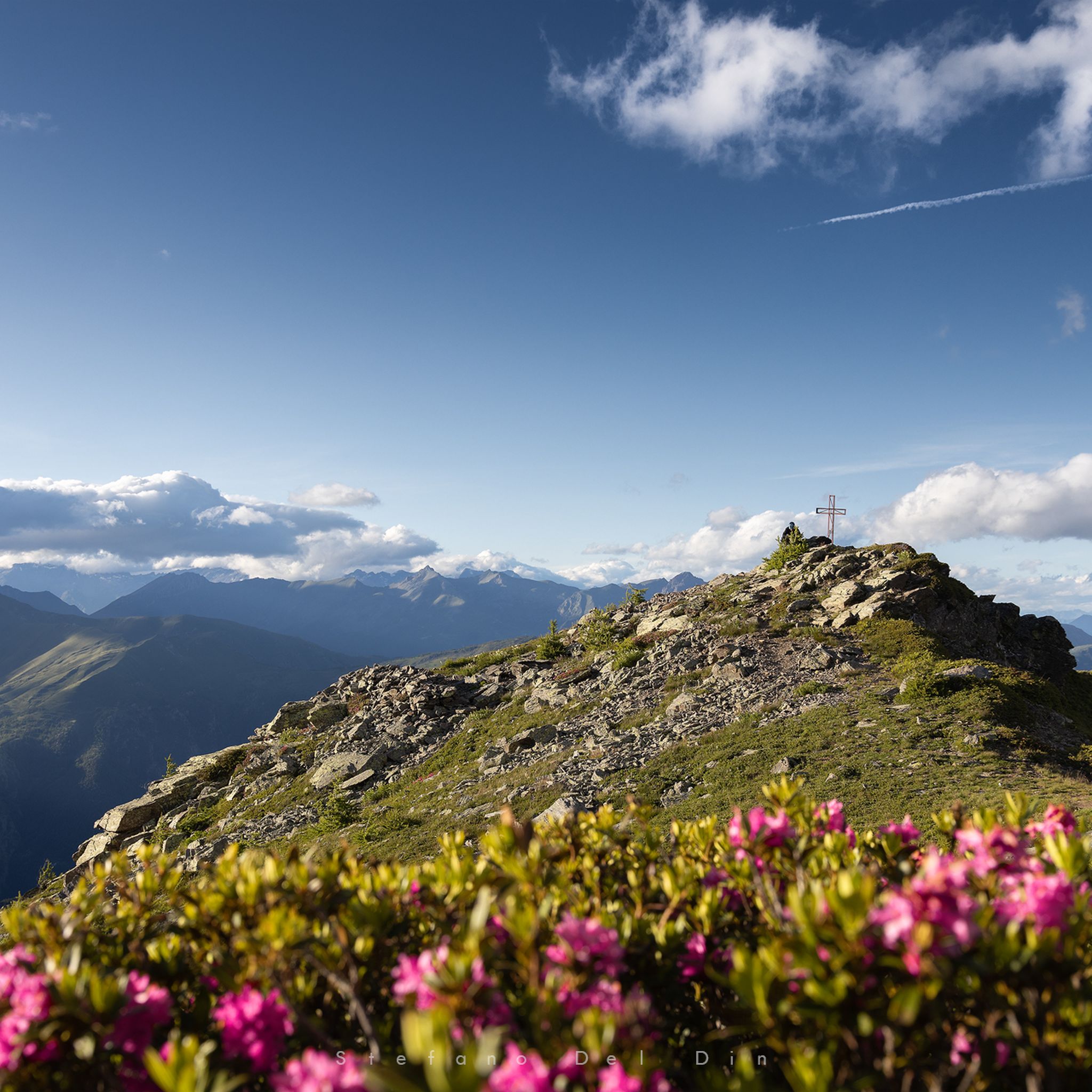
Hiking around Parco Naturale di Conca Cialancia
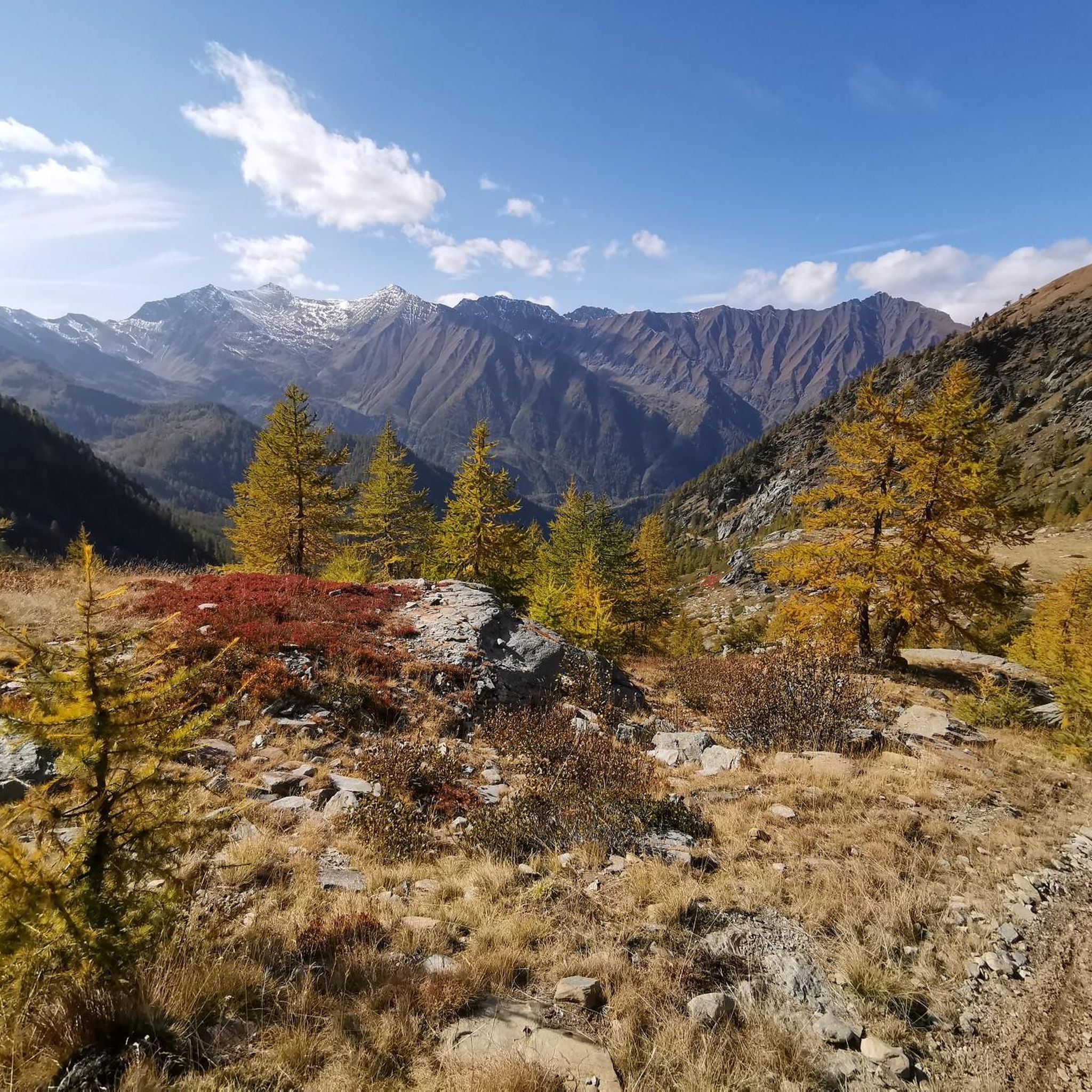
Cycling around Parco Naturale di Conca Cialancia
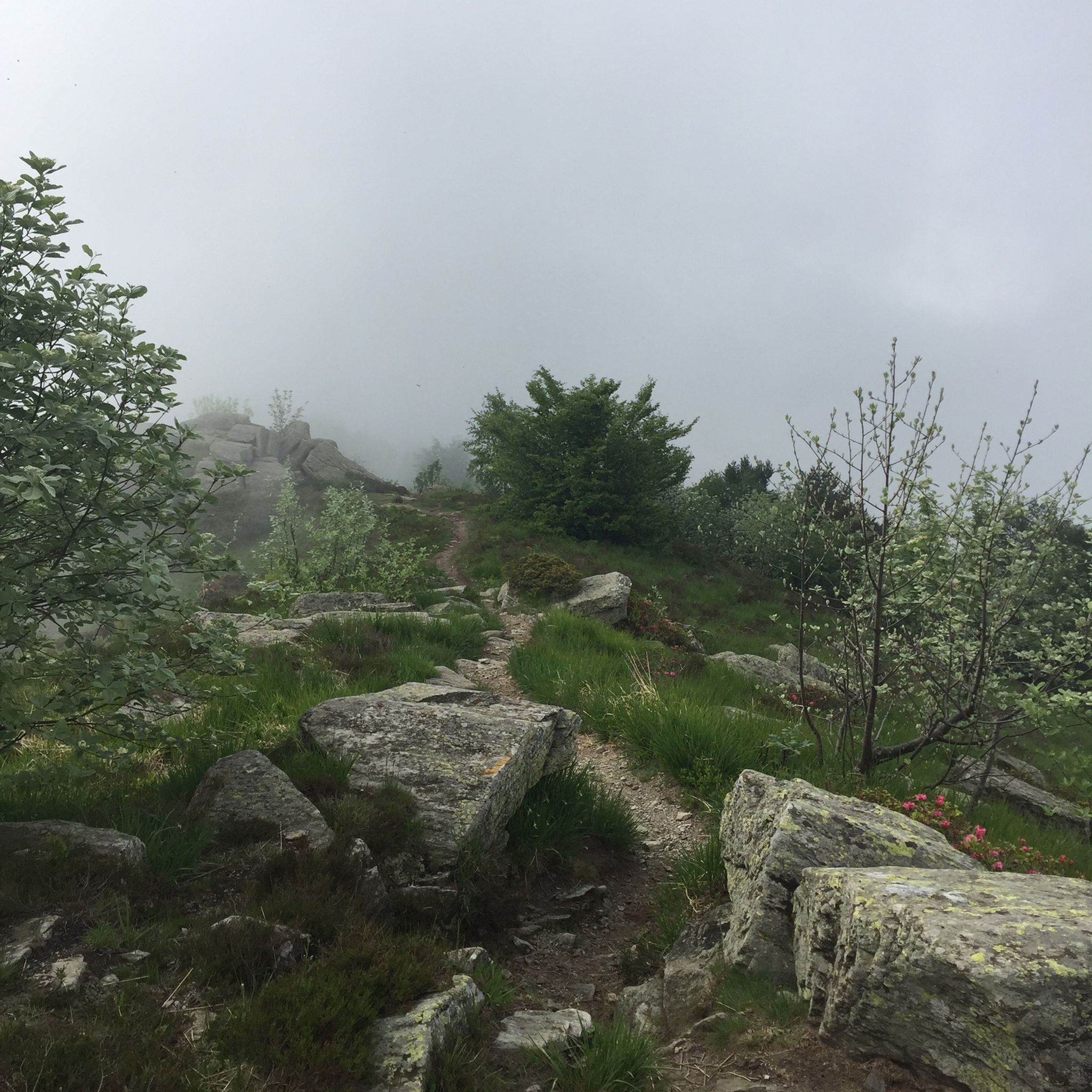
MTB Trails around Parco Naturale di Conca Cialancia
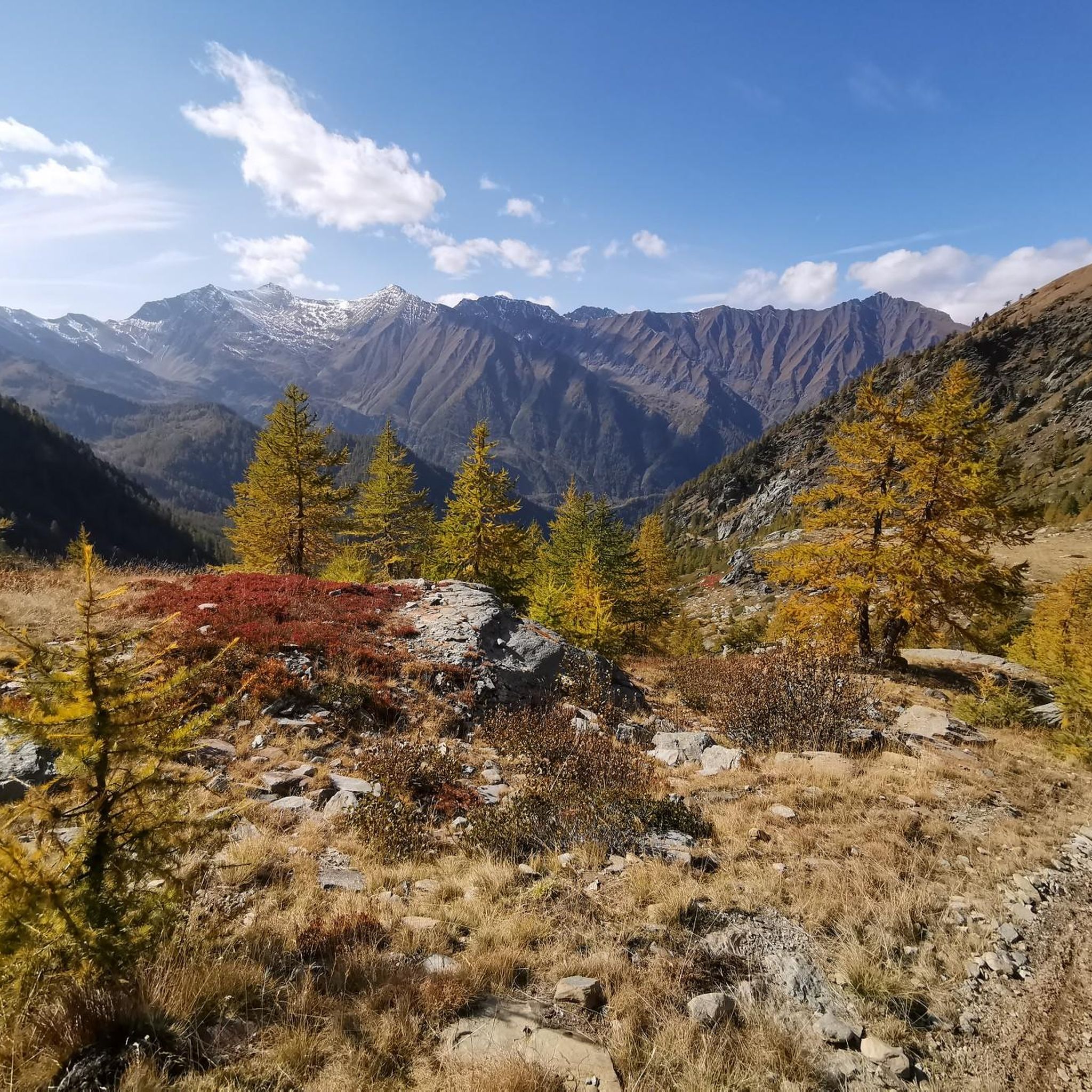
Running Trails around Parco Naturale di Conca Cialancia
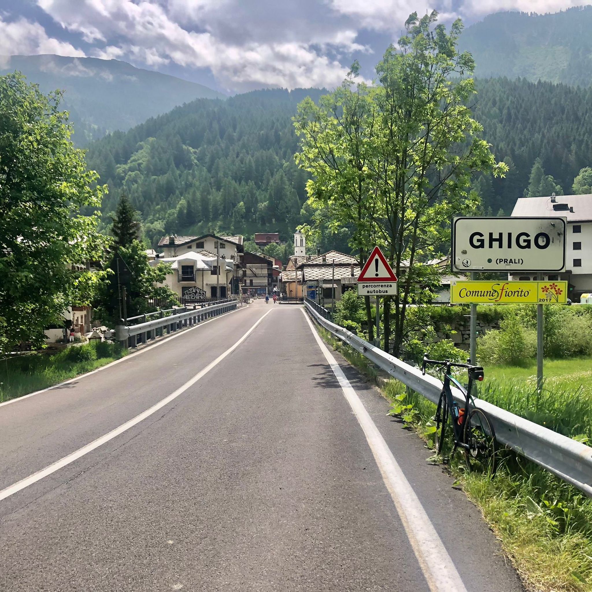
Road Cycling Routes around Parco Naturale di Conca Cialancia
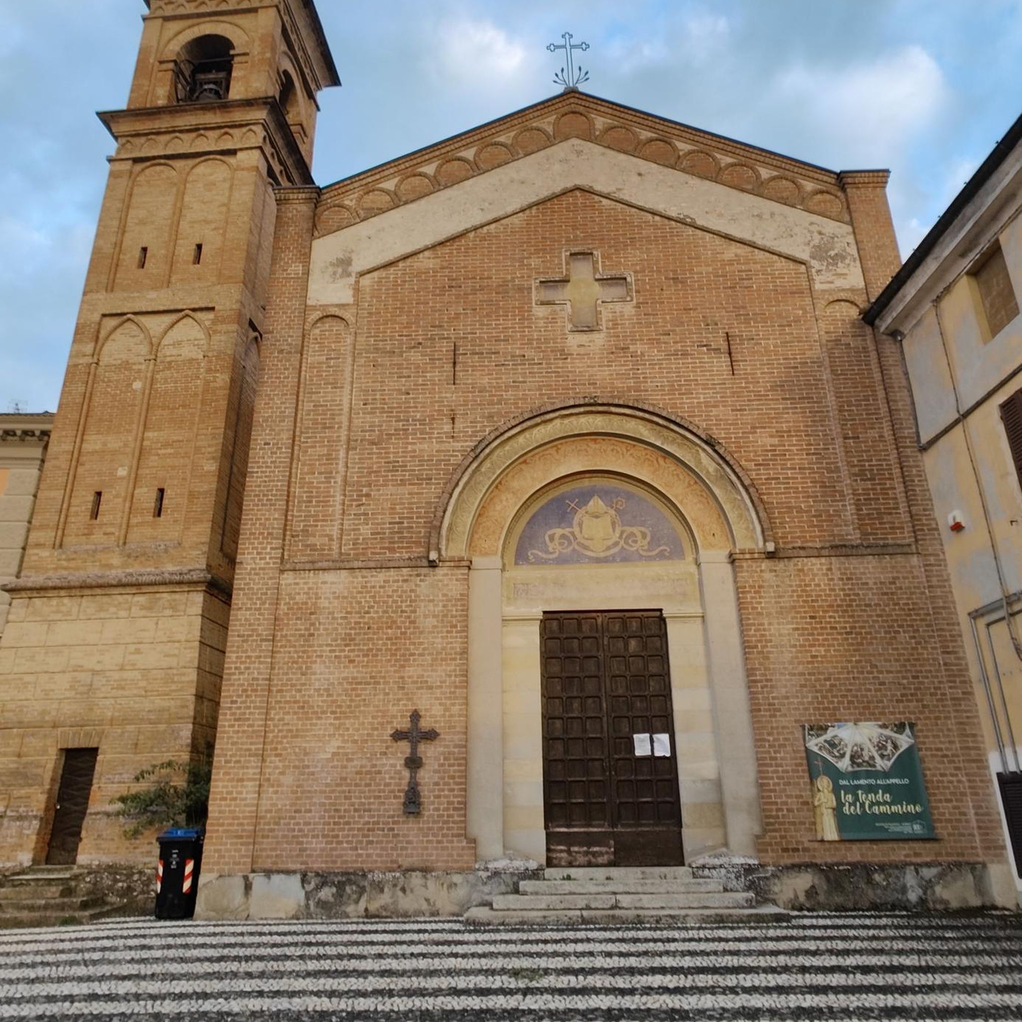
Gravel biking around Parco Naturale di Conca Cialancia
Tips from the Community

Nice refuge in the beautiful Conca del Prà
0
0

view of the 13 lakes basin
1
0
Jervis' polenta is really good
1
0
very beautiful waterfall, enchanting
1
0

A beautiful tall waterfall that can be admired on the road that goes up to Conca del Prà
1
0

Excellent both on foot (from Villanova) and as a circular MTB tour from Bobbio Pellice
1
0
excellent trip with the possibility of loops
0
0

A beautiful circular hike. Beware, however, of the misleading two-hour indication! Messner might be able to manage it. If you're a regular hiker, no less than three hours or more... WARNING: Once you reach Lake Cannoni or Ramella, if you suffer from vertigo, do not follow the signs for trail A on the right. There are exposed sections, and one section is equipped with a damaged rope. Turn left and you will rejoin the outward route at the level of the early 1900s forts.
1
0
Frequently Asked Questions
What is the general difficulty level of mountaineering routes in Parco Naturale di Conca Cialancia?
The routes in Parco Naturale di Conca Cialancia offer a range of difficulties. You'll find several moderate trails, such as the Bric Rond (2540 m) – Lago Verde Piccolo loop from Prali, which is 4.1 miles long. For those seeking a more significant challenge, there are difficult routes like the Punta Cerisira loop from Prali, an 11.6-mile trail that takes nearly 8 hours to complete.
Are there any circular mountaineering routes in the park?
Yes, many of the mountaineering routes in Parco Naturale di Conca Cialancia are designed as loops, allowing you to start and end at the same point. Examples include the Bric Rond (2540 m) – Lago Verde Piccolo loop from Prali and the Monte Vandalino loop from Serre.
What kind of terrain can I expect on these mountaineering routes?
Mountaineering routes in Parco Naturale di Conca Cialancia traverse diverse alpine terrain. You can expect significant elevation changes, leading to summits often over 2500 meters, high-altitude lakes, and rugged mountain landscapes. The region is characterized by its alpine peaks and glacial features.
What are some notable natural attractions or landmarks I might see along the routes?
The area around Parco Naturale di Conca Cialancia is rich in natural beauty. You might encounter stunning high-altitude lakes like Lake Lauson, or traverse scenic mountain passes such as Balma Pass and Cialancia Pass. The routes often offer views of the Conca Cialancia Nature Park itself.
Is Parco Naturale di Conca Cialancia suitable for family-friendly mountaineering?
While many routes involve significant elevation and rugged terrain, some moderate options might be suitable for families with older, experienced children. For example, the Bric Rond (2540 m) – Trail to Lago dell'Uomo loop from Prali is a moderate 3.4-mile path that explores high-altitude terrain with a focus on mountain lakes, which could be an option depending on your family's fitness level.
Can I bring my dog on the mountaineering trails in Parco Naturale di Conca Cialancia?
Generally, dogs are permitted on trails within natural parks in Italy, often on a leash. However, it's always best to check specific regulations for Parco Naturale di Conca Cialancia before your visit, especially concerning protected areas or wildlife zones. Be prepared for varied terrain and potential encounters with wildlife.
What is the best time of year for mountaineering in this region?
The best time for mountaineering in Parco Naturale di Conca Cialancia is typically from late spring to early autumn (June to September). During these months, snow has usually melted from higher elevations, and the weather is generally more stable, offering clearer paths and more pleasant temperatures. Always check local weather forecasts before heading out.
Are there any options for advanced mountaineers looking for a challenge?
Absolutely. For experienced mountaineers, the Punta Cerisira loop from Prali is a challenging 11.6-mile trail that navigates demanding alpine landscapes and typically takes nearly 8 hours to complete. This route offers significant elevation gain and a true test of endurance.
Where can I find parking for the mountaineering trails?
Many of the routes, particularly those starting from Prali, Serre, or Villanova Pellice, will have designated parking areas nearby. For instance, routes like the Rifugio Willy Jervis – Forte Mirabuc loop from Villanova Pellice typically begin from accessible points with parking facilities. It's advisable to check the specific tour details on komoot for precise starting points and parking information.
What kind of wildlife might I encounter in Parco Naturale di Conca Cialancia?
As a natural park, Conca Cialancia is home to diverse alpine wildlife. Keep an eye out for chamois, ibex, marmots, and various bird species, including birds of prey. Respect their natural habitat by maintaining a safe distance and not disturbing them.
Are there any places to eat or drink near the trails?
While the high-altitude routes themselves might not have facilities, starting points like Prali or Villanova Pellice typically offer cafes, restaurants, or mountain huts (rifugi) where you can refuel before or after your mountaineering adventure. It's always recommended to carry sufficient water and snacks, especially on longer routes.
Most popular routes around Parco Naturale di Conca Cialancia
Most popular attractions around Parco Naturale di Conca Cialancia

Get inspired with the komoot mobile app


Explore more
Browse the best Mountain Hikes & Routes in other regions.
