The best mountain hikes in Monte La Nuda, Cima Belfiore, Passo Del Cerreto
4.3
(3)
37
hikers
6
hikes
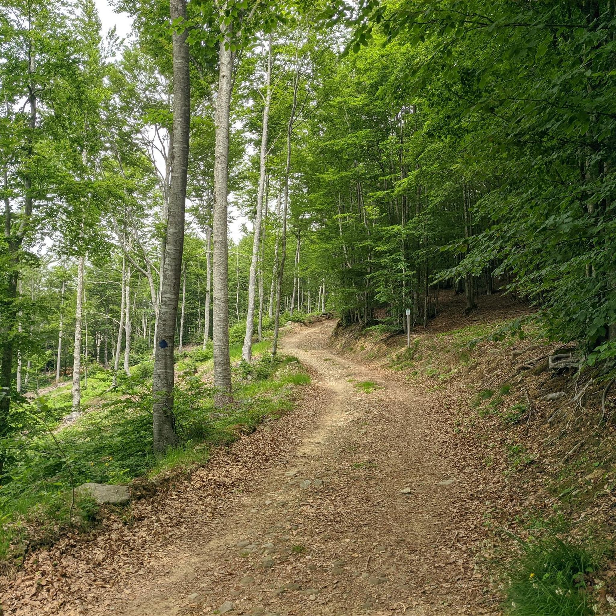
Mountaineering routes in Monte La Nuda, Cima Belfiore, Passo Del Cerreto traverse a diverse landscape within the Appennino Tosco-Emiliano National Park. The region features rugged rocky walls, scree, and extensive beech forests, particularly on the wilder Tuscan side of Monte La Nuda. Glacial formations are evident through numerous lakes and ancient cirques, contributing to the area's geological interest. From the summits, panoramic views extend across the Alpe di Succiso, the Apuan Alps, and the Ligurian Sea.
Best mountaineering routes in…
Last updated: July 1, 2026
4.0
(1)
3
hikers
8.73km
03:48
600m
600m
Moderate mountaineering route. Good fitness required. Mostly accessible paths. Sure-footedness required.
3
hikers
4.31km
01:31
230m
230m
Easy mountaineering route. Great for any fitness level. Easily-accessible paths. Suitable for all skill levels.

Sign up for free
4
hikers
9.47km
04:15
620m
620m
Hard mountaineering route. Good fitness required. Sure-footedness, sturdy shoes and alpine experience required.
5.0
(1)
13
hikers
11.1km
04:55
960m
960m
Hard mountaineering route. Very good fitness required. Mostly accessible paths. Sure-footedness required.
6
hikers
10.6km
04:39
970m
970m
Hard mountaineering route. Very good fitness required. Mostly accessible paths. Sure-footedness required.
Our route recommendations are based on thousands of hikes, rides, and runs completed by other people on komoot.
Start today with a free account
Your next adventure awaits.
Login or Signup
Popular around Monte La Nuda, Cima Belfiore, Passo Del Cerreto
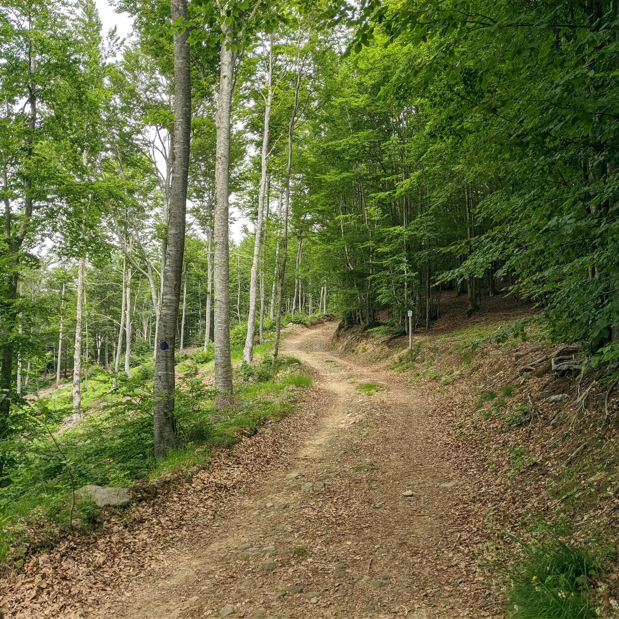
Hiking in Monte La Nuda, Cima Belfiore, Passo Del Cerreto
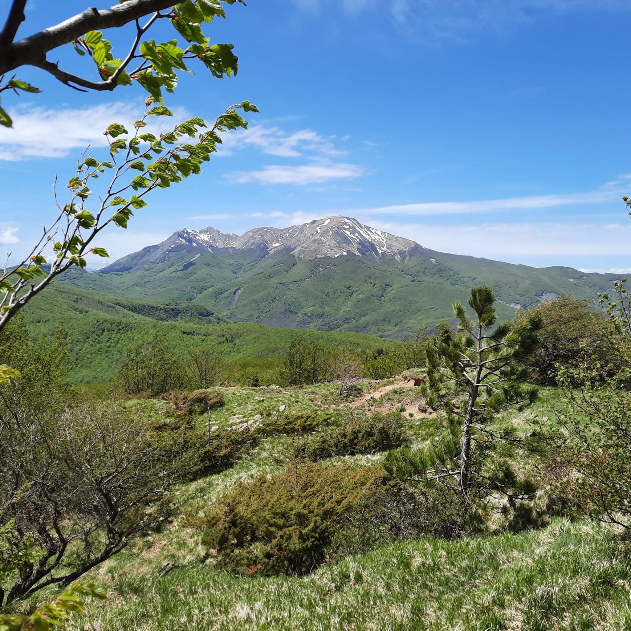
MTB Trails in Monte La Nuda, Cima Belfiore, Passo Del Cerreto
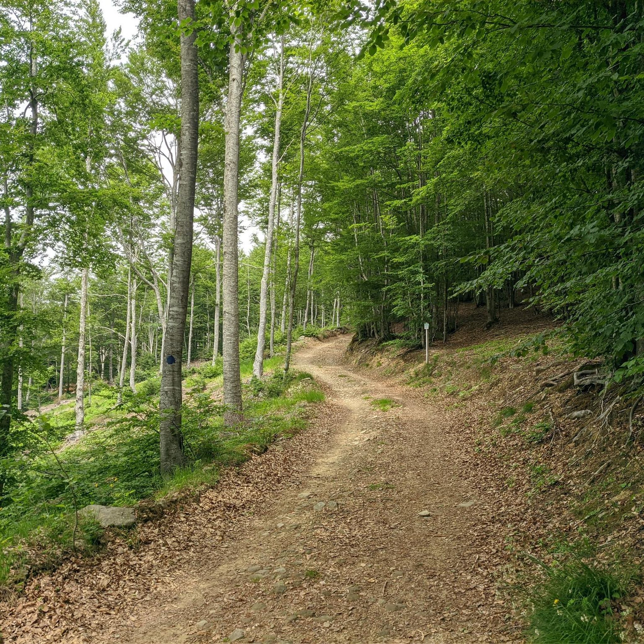
Road Cycling Routes in Monte La Nuda, Cima Belfiore, Passo Del Cerreto
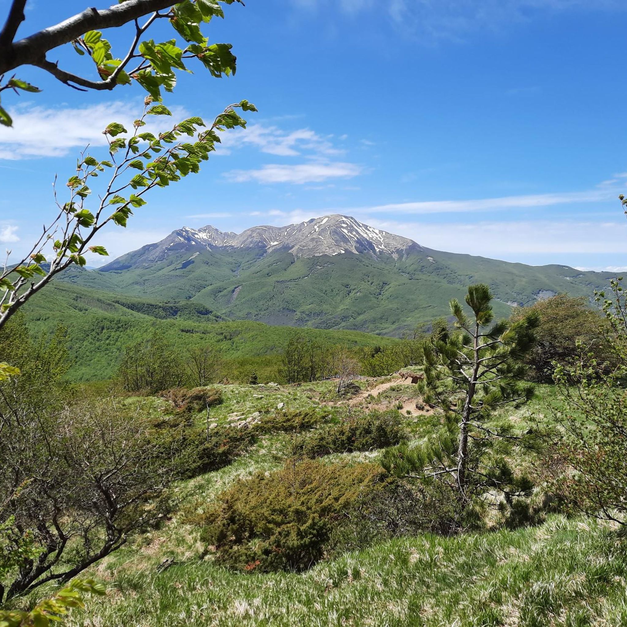
Running Trails in Monte La Nuda, Cima Belfiore, Passo Del Cerreto
Cycling in Monte La Nuda, Cima Belfiore, Passo Del Cerreto
Tips from the Community

The Passo del Cerreto is an important pass in the Tuscan-Emilian Apennines, located at an altitude of 1,261 meters. It separates Tuscany from Emilia-Romagna, connecting the province of Massa-Carrara (municipality of Fivizzano) with that of Reggio Emilia (municipality of Ventasso). The pass is entirely crossed by the State Road 63 (SS 63).
0
0

There are no free parking spaces, the only parking lot belongs to the bar and is reserved for customers.
0
0

There is a strange magic in this beautiful meadow
0
0


It can be reached both on asphalt and on a path. Always pleasant.
0
0

From Piazza al Serchio you climb for 20 km with an altitude gain of 1000 m with fairly constant gradients.
0
0

At the top of the Reggio Emilia Apennines, Mount La Nuda is located at an altitude of 1,893 and has various namesakes in the Modena Apennines. From here, with clear skies, you can admire the Ligurian Sea, the Tuscan archipelago, Corsica and even a good part of the Alps. Chairlifts have been built under the summit to serve the Cerreto Laghi ski resort.
3
0
Located on the ridge between the over 2,000 meters of the Succiso Alp and 1,902 meters of Monte Alto, the Pietratagliata pass is one of the most technical points of the Alta Via dei Parchi, also because there is often snow even in summer.
1
0
Frequently Asked Questions
What kind of landscapes can I expect on mountaineering routes in Monte La Nuda, Cima Belfiore, and Passo Del Cerreto?
The region offers a diverse range of landscapes, from the gentler, ski-equipped northern slopes of Monte La Nuda to its rugged, wilder Tuscan side. You'll encounter deep glacial valleys like Vallone dell'Inferno with majestic rocky walls, scree, prairies, and dense beech forests. The area is also characterized by numerous glacial lakes, such as Lago Cerretano and Dark Lake, nestled among the forests.
Are there any easy mountaineering routes suitable for beginners in this area?
Yes, there is at least one easy mountaineering route available. For a less strenuous option through varied terrain, consider the Monte Cavalbianco – Monte Polla loop from Ospitaletto, which is 4.2 km long and typically takes about 1 hour 29 minutes to complete.
What are the best routes for experienced mountaineers seeking a challenge?
Experienced mountaineers will find several challenging routes. The Monte La Nuda – Gendarme della Nuda loop from Cerreto Laghi is a difficult 9.0 km trail featuring challenging sections and views of the distinctive Gendarme della Nuda pinnacle. Another demanding option is the Alpe di Succiso – Il Torrione loop from Succiso Nuovo, covering 11.1 km with significant elevation gain.
What kind of panoramic views can I expect from the summits in this region?
From the summit of Mount La Nuda (1895m), you can enjoy extensive vistas encompassing the Alpe di Succiso, Monte Cusna, the Apuan Alps, the Ligurian Sea, and even the Po Valley. Ridge walks, such as those leading to Cima Belfiore, also provide breathtaking views over the Lunigiana Valley and the Apuan Alps.
Are there any circular routes available for mountaineering?
Yes, many routes in the area are designed as loops. For example, the Rosario Bivouac – Mount La Nuda loop from Cerreto Laghi is a 8.7 km trail leading through high mountain landscapes. Another option is the Tecchio dei Corvi – Monte Alto loop from Passo del Cerreto, a difficult 9.3 km route.
What are some interesting natural features or landmarks to see along the routes?
The region is rich in natural beauty. You can explore glacial lakes like Lago Cerretano (Cerreto Laghi) and Lake Pranda. The landscape also features ancient glacial cirques and distinctive peaks such as Mount La Nuda and Monte Cavalbianco summit.
What is the best time of year to go mountaineering in Monte La Nuda, Cima Belfiore, and Passo Del Cerreto?
The best time for mountaineering in this region is generally during the summer months, from June to September, when the weather is more stable and trails are clear of snow. However, conditions can vary, so always check local forecasts before heading out.
Is public transport available to reach the trailheads, especially around Passo Del Cerreto?
Passo del Cerreto serves as a crucial gateway and offers convenient access. While specific bus schedules can vary, the pass is known to have public transport connections, making it a good starting point for many trails. It's advisable to check local bus services for current timetables to Cerreto Laghi or Passo del Cerreto.
Are there accommodations or places to eat near the mountaineering routes?
Yes, the region is well-equipped for visitors. Passo del Cerreto, at 1261 meters, offers amenities like year-round open bars and restaurants, as well as ample parking. There are also refuges, such as Bivacco Rosario, and hotels, particularly around Cerreto Laghi, providing accommodation and support for trekkers and mountaineers.
What do other mountaineers enjoy most about the routes in Monte La Nuda, Cima Belfiore, Passo Del Cerreto?
The area is highly rated by the komoot community, with an average score of 4.5 stars from 8 reviews. Mountaineers often praise the diverse terrain, the presence of beautiful glacial lakes, and the panoramic ridge traverses that offer stunning views. The variety of routes, from easy loops to difficult ascents, is also frequently highlighted.
Are there any specific regulations or permits required for hiking in the Appennino Tosco-Emiliano National Park?
The region is part of the Appennino Tosco-Emiliano National Park, which is also a UNESCO Man and Biosphere Reserve. While general hiking does not typically require specific permits, it's always good practice to be aware of and respect park regulations regarding waste, wildlife, and protected areas. For detailed information, you can visit the official park website or the visitor center at Passo del Cerreto.
Most popular routes in Monte La Nuda, Cima Belfiore, Passo Del Cerreto
Most popular attractions in Monte La Nuda, Cima Belfiore, Passo Del Cerreto

Get inspired with the komoot mobile app


Explore more
Browse the best Mountain Hikes & Routes in other regions.
