Monte La Nuda, Cima Belfiore, Passo Del Cerreto
Monte La Nuda, Cima Belfiore, Passo Del Cerreto
The best cycling routes in Monte La Nuda, Cima Belfiore, Passo Del Cerreto
4.9
(146)
878
riders
58
rides
Touring cycling routes in Monte La Nuda, Cima Belfiore, Passo Del Cerreto traverse the mountainous terrain of the Tuscan-Emilian Apennines National Park. This region features significant elevation changes, offering challenging climbs and rewarding descents. The landscape includes high mountain peaks, glacial lakes, and dense forests of chestnut, beech, and fir trees. Well-maintained asphalt roads with curves and hairpin bends are characteristic of the area, connecting various villages and natural features.
Best touring cycling routes in Monte La Nuda, Cima Belfiore,…
Last updated: June 30, 2026
5
riders
55.2km
05:18
1,540m
1,540m
Hard bike ride. Very good fitness required. Mostly paved surfaces. Suitable for all skill levels.
8
riders
51.7km
04:14
1,630m
1,630m
Hard bike ride. Very good fitness required. Mostly paved surfaces. Suitable for all skill levels.

Sign up for free
4
riders
39.6km
03:15
1,180m
1,180m
Hard bike ride. Very good fitness required. Mostly paved surfaces. Suitable for all skill levels.
5.0
(2)
11
riders
38.3km
03:07
1,190m
1,180m
Hard bike ride. Very good fitness required. Mostly paved surfaces. Suitable for all skill levels.
11
riders
68.3km
05:43
2,100m
2,100m
Hard bike ride. Very good fitness required. Mostly paved surfaces. Suitable for all skill levels.
Get access to more routes and recommendations from other explorers.
Sign up for free
Already have an account?
Our route recommendations are based on thousands of hikes, rides, and runs completed by other people on komoot.
Start today with a free account
Your next adventure awaits.
Login or Signup
Popular around Monte La Nuda, Cima Belfiore, Passo Del Cerreto
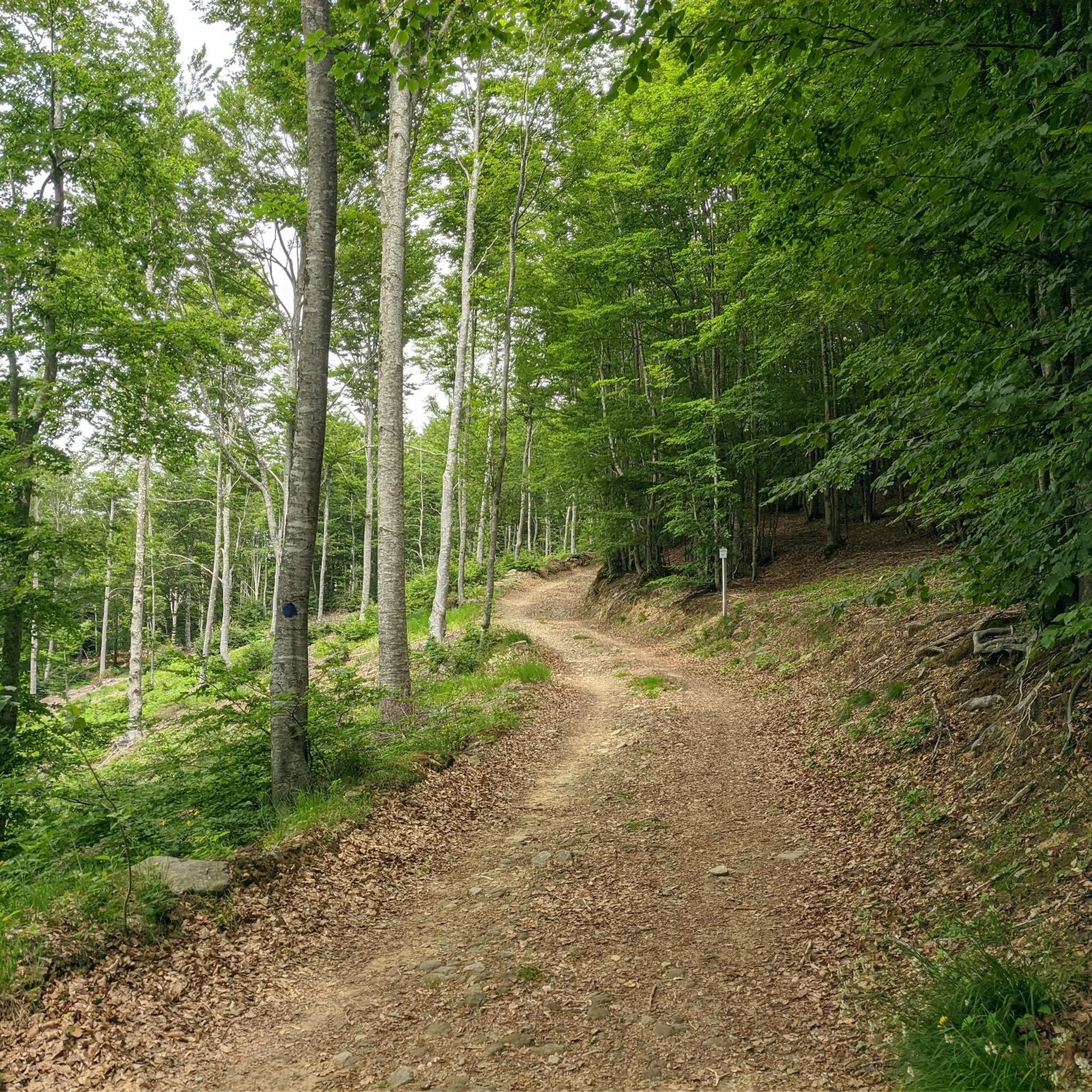
Hiking in Monte La Nuda, Cima Belfiore, Passo Del Cerreto
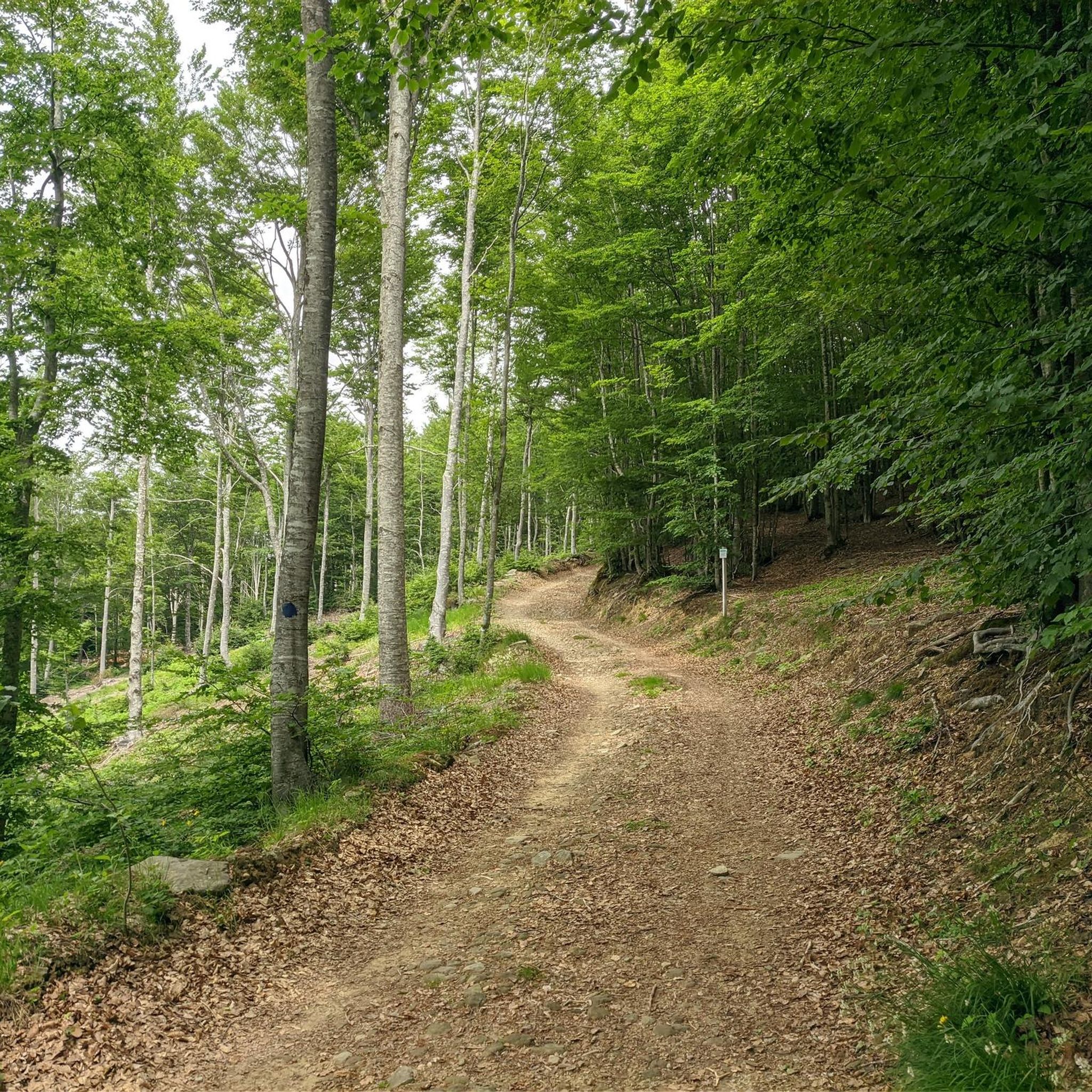
Road Cycling Routes in Monte La Nuda, Cima Belfiore, Passo Del Cerreto
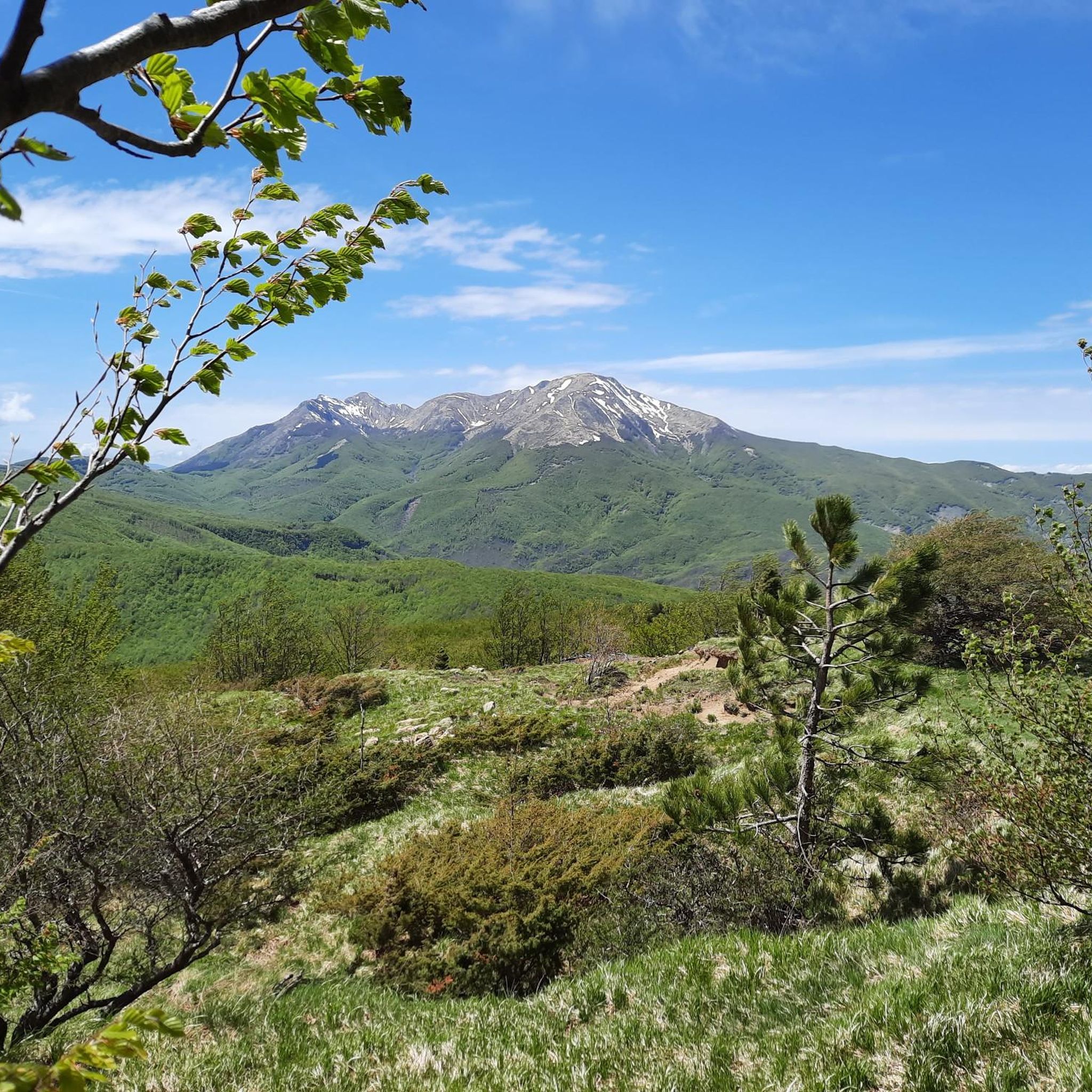
Running Trails in Monte La Nuda, Cima Belfiore, Passo Del Cerreto
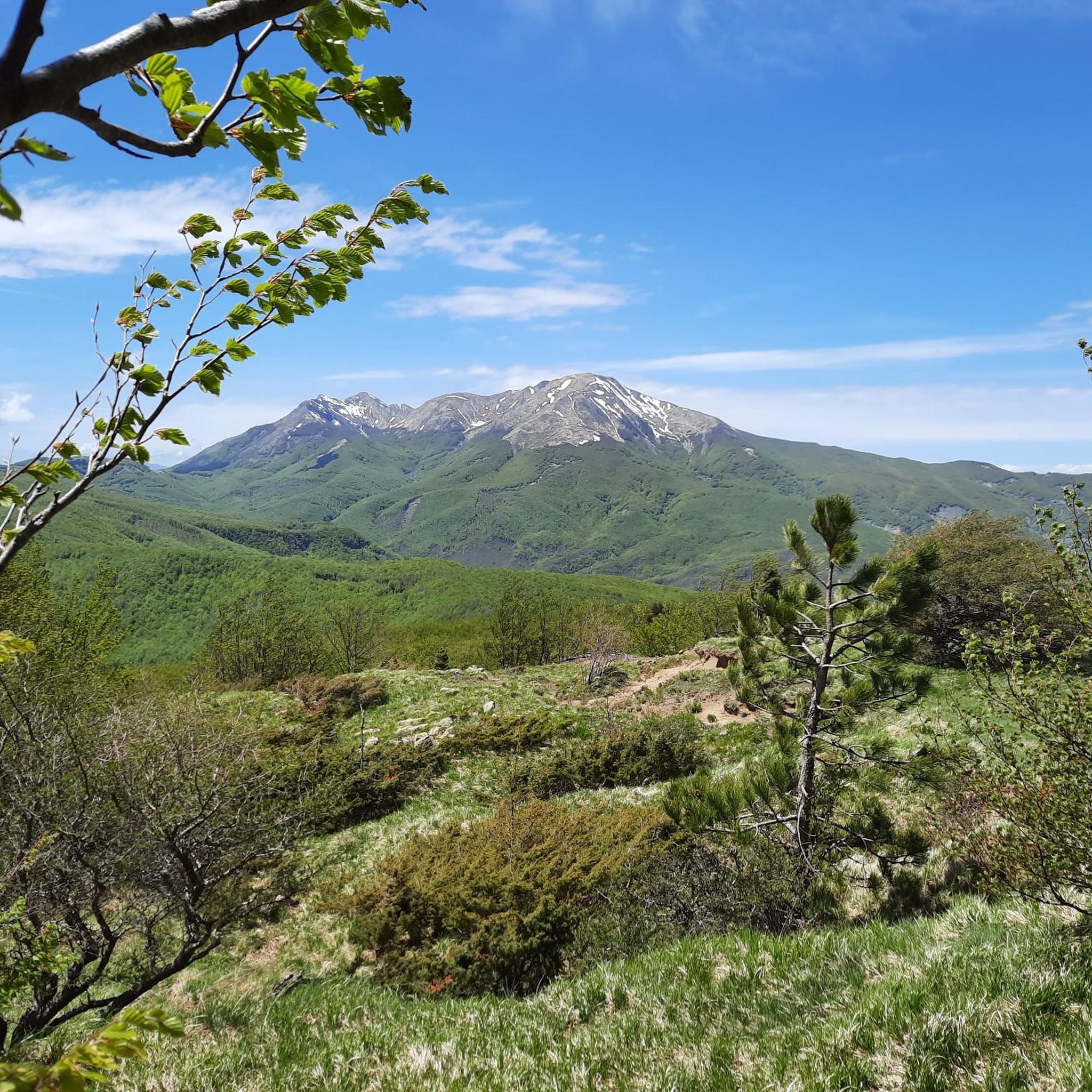
MTB Trails in Monte La Nuda, Cima Belfiore, Passo Del Cerreto

Mountain Hikes in Monte La Nuda, Cima Belfiore, Passo Del Cerreto
Tips from the Community

The Passo del Cerreto is an important pass in the Tuscan-Emilian Apennines, located at an altitude of 1,261 meters. It separates Tuscany from Emilia-Romagna, connecting the province of Massa-Carrara (municipality of Fivizzano) with that of Reggio Emilia (municipality of Ventasso). The pass is entirely crossed by the State Road 63 (SS 63).
0
0

There are no free parking spaces, the only parking lot belongs to the bar and is reserved for customers.
0
0

After a few years it appears worn out, it would need restoration, while the scenery that presents itself to the view has remained unchanged.
0
0


It can be reached both on asphalt and on a path. Always pleasant.
0
0

From Piazza al Serchio you climb for 20 km with an altitude gain of 1000 m with fairly constant gradients.
0
0

Brenta cycle path
0
0
Frequently Asked Questions
How many touring cycling routes are available in Monte La Nuda, Cima Belfiore, Passo Del Cerreto?
There are over 50 touring cycling routes in the Monte La Nuda, Cima Belfiore, Passo Del Cerreto region. These routes primarily feature challenging terrain with significant elevation changes, characteristic of the Tuscan-Emilian Apennines National Park.
What is the general difficulty level of touring cycling routes in this area?
The touring cycling routes in Monte La Nuda, Cima Belfiore, Passo Del Cerreto are predominantly challenging. Out of over 50 available routes, 49 are rated as difficult, with 2 moderate options and no easy routes. This makes the region ideal for experienced cyclists seeking a physical test.
What kind of landscapes and natural features can I expect to see while cycling here?
You can expect diverse and dramatic landscapes. The region features significant elevation changes with mountainous terrain, offering breathtaking panoramic views that can extend to the Ligurian Sea and the Tuscan Archipelago on clear days. Routes also pass through lush forests of chestnut, beech, and fir trees, and by serene glacial lakes such as Lago Cerretano and Lake Pranda.
Are there any specific natural landmarks or viewpoints along the touring cycling routes?
Yes, several routes offer access to notable natural landmarks and viewpoints. You can cycle past Pradarena Pass, which is a significant mountain pass, or experience the views from near Mount La Nuda and Monte Cavalbianco summit. The region is also home to several glacial lakes like Dark Lake.
Are there any touring cycling routes that feature waterfalls?
Yes, if you're looking for routes with waterfalls, consider the Scalucchia Pass – Liocca Stream Waterfalls loop from Collagna. This difficult 38.3 km route includes the scenic Liocca Stream Waterfalls, offering a refreshing natural highlight during your ride.
Are there any circular touring cycling routes in the area?
Yes, many of the routes in Monte La Nuda, Cima Belfiore, Passo Del Cerreto are designed as loops. Examples include the Pradarena Pass – Fishing Pond loop from Ospitaletto, the Ospitaletto – Pradarena Pass loop from Cerreto Alpi, and the Passo del Cerreto – Big Bench Collagna loop from Cerreto Laghi. These circular routes allow you to start and finish in the same location.
What is the best time of year for touring cycling in Monte La Nuda, Cima Belfiore, Passo Del Cerreto?
The best time for touring cycling in this mountainous region is typically from late spring through early autumn. During these months, the weather is generally more stable, and the higher passes are clear of snow. Summer offers cooler, shaded routes through forests, while autumn provides vibrant foliage colors.
What do other cyclists say about touring in Monte La Nuda, Cima Belfiore, Passo Del Cerreto?
The area is highly rated by the komoot community, with an average score of 4.9 stars from over 150 reviews. Cyclists often praise the challenging ascents, rewarding descents, and the stunning panoramic views of the Apennines. The well-maintained roads and diverse natural features, including glacial lakes and dense forests, are also frequently highlighted.
Are there any visitor centers or amenities available for cyclists?
Yes, Passo Del Cerreto hosts a Visitor Center for the Tuscan-Emilian Apennines National Park, providing resources for exploring the area. Additionally, Cerreto Laghi, located near the pass, is a well-equipped tourist resort offering accommodations, campsites, and various services, making it an excellent starting point for cycling excursions.
Can I find routes that are part of a larger cycling network?
Yes, the broader Tuscan-Emilian Apennines region is part of an extensive cycling network. The 'Appennino Bike Tour' is a significant 3,100 km route traversing the entire Apennine ridge. While specific routes in this guide are local, they connect to and are influenced by this larger network, offering comprehensive touring experiences on secondary roads with minimal traffic.
Are there any particularly long or challenging routes for advanced touring cyclists?
For advanced touring cyclists seeking a significant challenge, the Passo del Giogo – Scalucchia Pass loop from Collagna is a demanding option. This difficult route covers approximately 68.5 km (42.6 miles) and features over 2,100 meters of elevation gain, making it one of the most strenuous rides in the area.
Most popular routes in Monte La Nuda, Cima Belfiore, Passo Del Cerreto
Most popular attractions in Monte La Nuda, Cima Belfiore, Passo Del Cerreto

Get inspired with the komoot mobile app


Explore more
Browse the best Cycling routes in other regions.
