The best running trails around Valdepiélago
139
runners
13
runs
Jogging around Valdepiélago offers a diverse landscape for runners. The region is characterized by its mountainous terrain, featuring significant elevation changes and dense woodlands, as suggested by routes through areas like the "Bosque de las Hadas" (Forest of the Fairies). Runners can expect trails that traverse river valleys and ascend to viewpoints, providing varied running experiences. The area's geology includes prominent peaks and hills, making it suitable for those seeking challenging running routes.
Best jogging routes around Valdepiélago
- The most…
Last updated: July 5, 2026
4
runners
Moderate run. Good fitness required. Mostly paved surfaces. Suitable for all skill levels.
44
runners
9.41km
02:00
900m
900m
Hard run. Very good fitness required. Mostly paved surfaces. Suitable for all skill levels.

Sign up for free
27
runners
34.0km
05:17
1,820m
1,820m
Hard run. Very good fitness required. Mostly paved surfaces. Suitable for all skill levels.
18
runners
20.0km
02:27
650m
650m
Hard run. Very good fitness required. Mostly paved surfaces. Suitable for all skill levels.
16
runners
27.3km
04:58
1,830m
1,830m
Hard run. Very good fitness required. Sure-footedness, sturdy shoes and alpine experience required.
Get access to more routes and recommendations from other explorers.
Sign up for free
Already have an account?
Our route recommendations are based on thousands of hikes, rides, and runs completed by other people on komoot.
Start today with a free account
Your next adventure awaits.
Login or Signup
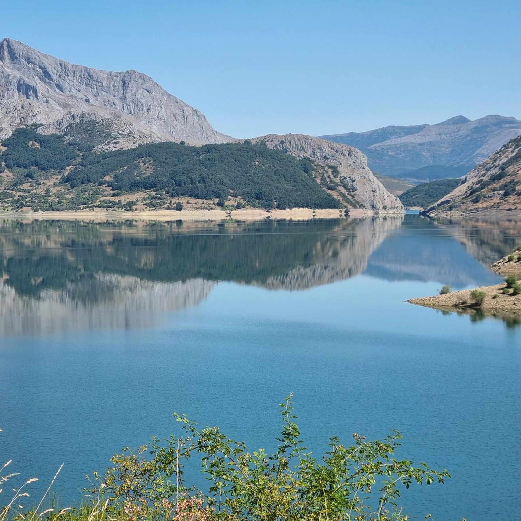
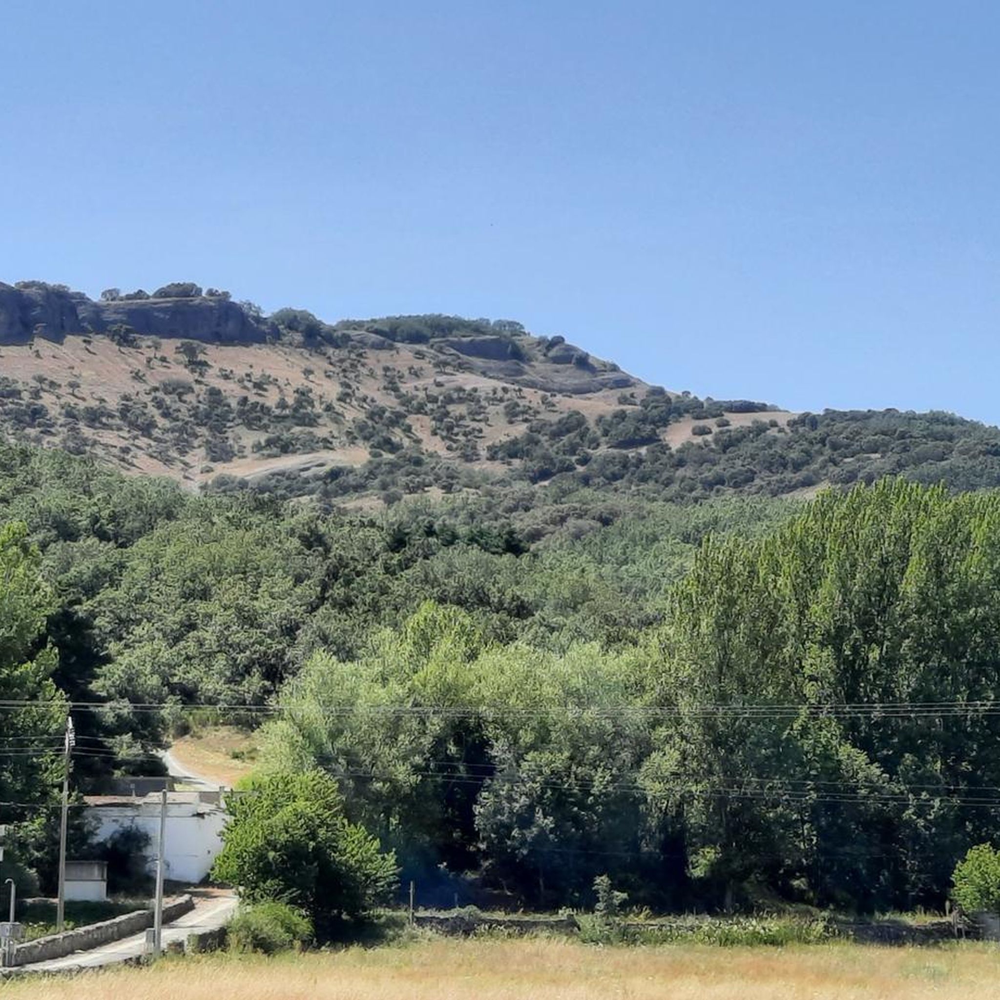
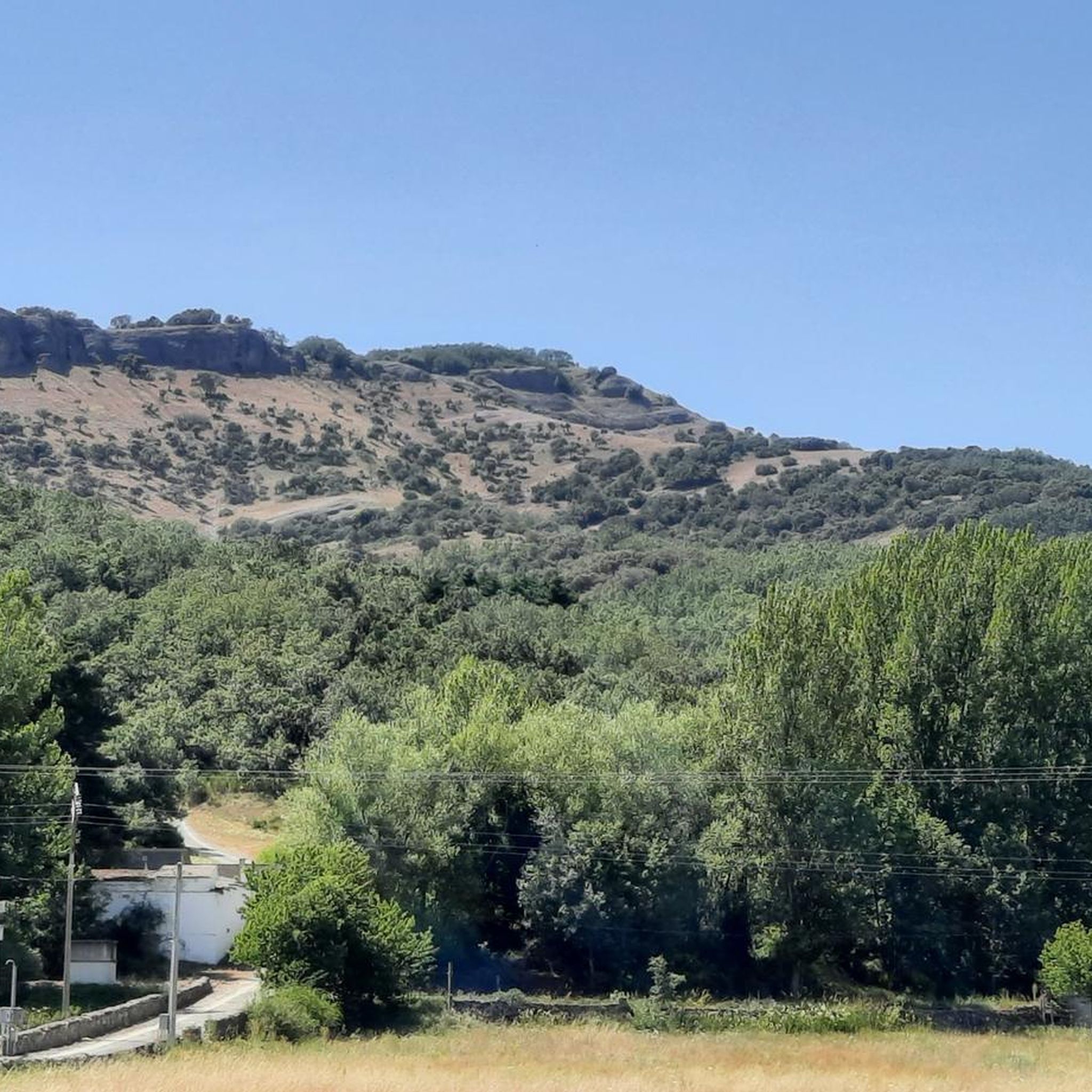
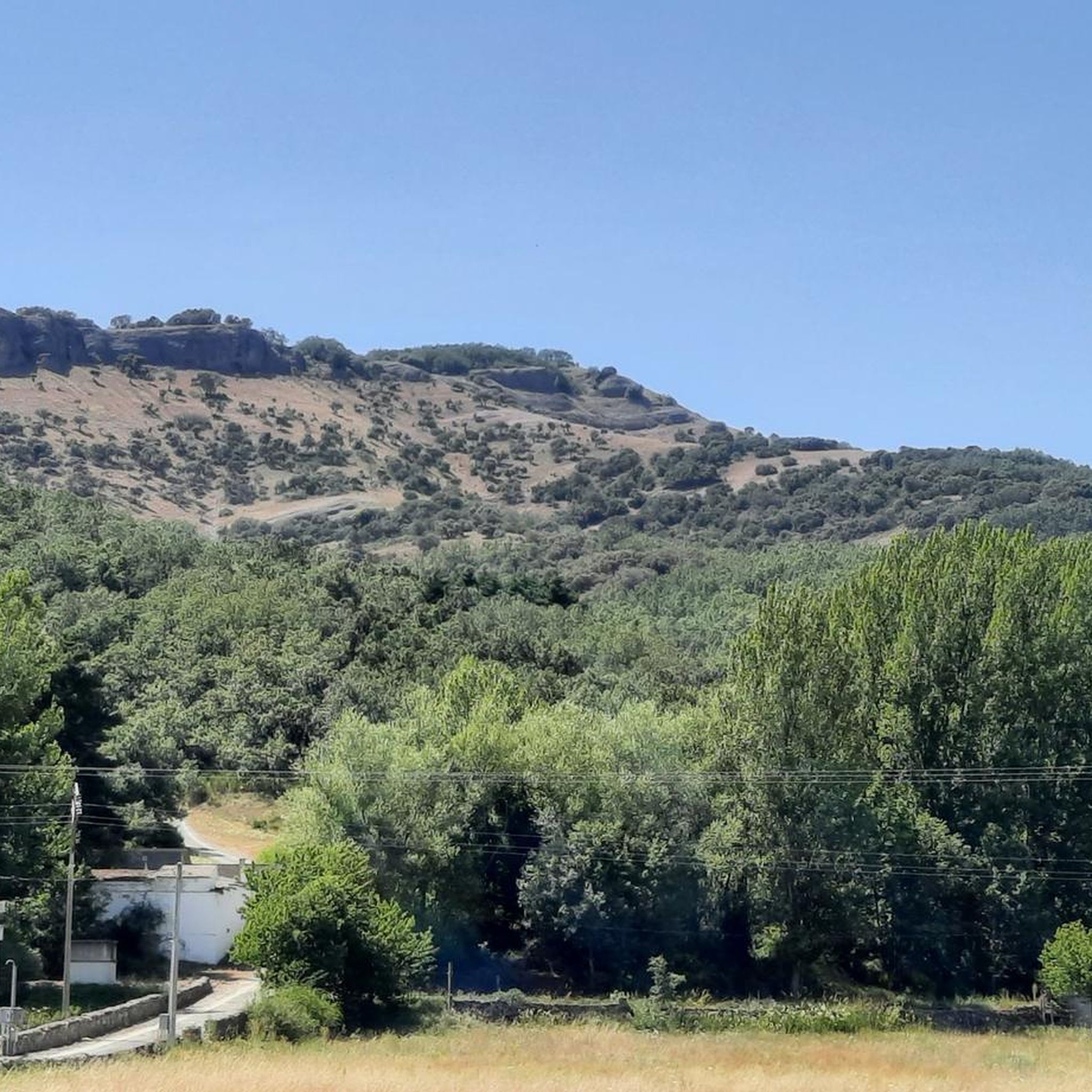
Tips from the Community

Nocedo Waterfall, also known as Cola de Caballo Waterfall, is one of the most accessible and spectacular natural spots in the Central León Mountains, located near Nocedo de Curueño, in the municipality of Valdepiélago. Approximately 4 meters high, it was formed by the Valdecésar stream as it negotiates a steep drop on its way to the Curueño River.
4
0
The Hermitage of San Froilán, located at the top of Peña de Valdorria (municipality of Valdepiélago, León), is one of the most emblematic and spiritual places in the León mountains. It stands at an altitude of 1,430 meters, perched among cliffs, and is accessed via a steep staircase with 365 steps carved into the rock, one for each day of the year.
4
0

Polvoredo (2007 m) is the closest peak to the city of León above 2000 meters high. Going up from Vegacervera you will gain more than 1000 meters of elevation gain in just 7 kilometers, so get ready for a demanding climb. The climb is constant and with slopes up to almost 40%, which makes the descent along the same path difficult if you are not used to intense hiking. But you can be sure that the effort is worth it - the views are impressive, from the top you can see its neighbor Peña Galicia and all along the way we see the towns of Villalfeide, Coladilla, Vegacervera and Villar del Puerto.
3
0

It is 50 meters from the road. It is accessed by some footbridges. Bike on the shoulder Please be calm: be discreet
0
0

Also known as Cascada de Valdecesar or Cola de Caballo, it has become popular in recent times. Easily accessible if we park the car on the side of the road or if we are more adventurous, we can do the route from Valdorria through the Forest of Fairies or Támbore, where we must go carefully if we go in rainy or winter seasons due to to icy and/or slippery areas.
2
1
At this point we find a monument to the miner. The Bardaya greenway is the old route of the mining train that brought coal from Pico Polvoreda to the Bardaya mine. We walk along the route next to the town of Metallana de Torío along a beautiful route.
3
0
Also known as Cascada de Valdecesar or Cola de Caballo, it has become popular in recent times. Easily accessible if we park the car on the side of the road or if we are more adventurous, we can do the route from Valdorria through the Forest of Fairies or Támbore, where we must go carefully if we go in rainy or winter seasons due to to icy and/or slippery areas.
2
0
365 steps separate the Hermitage of San Froilán and the town of Valdorria. From the hermitage we will have wonderful views of the Forest of the Fairies and the town of Leon.
1
1
Frequently Asked Questions
How many running routes are available in Valdepiélago?
There are 12 distinct running routes around Valdepiélago, offering a variety of experiences for different skill levels.
What kind of terrain can I expect on the running trails around Valdepiélago?
The region is characterized by its mountainous terrain, dense woodlands, and river valleys. You'll encounter significant elevation changes, forest paths, and trails that ascend to scenic viewpoints. Routes like Ermita de San Froilán y Cascada de Valdecesar, for instance, take you through a scenic forest.
Are there running options for different fitness levels in Valdepiélago?
Yes, the routes cater to various abilities. While the majority are classified as difficult (9 routes), there are also 3 moderate running trails available, ensuring options for both experienced runners and those looking for a challenging workout.
Are there any circular running routes in Valdepiélago?
Many of the running paths in Valdepiélago are designed as loops. For example, the challenging Polvoredo loop from Vegacervera and the longer Cueto Salón loop from Robles de la Valcueva are popular circular options.
What natural sights or landmarks can I see while running in Valdepiélago?
The area boasts several natural attractions. You might encounter the beautiful Nocedo Waterfall, explore the dramatic Vegacervera Gorge, or admire the Curueño Gorge and Valdepiélago Bridges. These highlights offer stunning views and interesting points along your run.
Are there any longer running routes for experienced runners seeking a challenge?
Absolutely. For experienced runners, the Cueto Salón loop from Robles de la Valcueva is a substantial 21.2 miles (34.1 km) trail with significant elevation, typically taking over 5 hours. Another demanding option is the Alto de la Sierra – Peña Valdorria loop from Valdepiélago, covering 27.3 km with considerable ascent.
Can I bring my dog on the running trails in Valdepiélago?
While specific regulations can vary, generally, dogs are welcome on many trails in natural areas like Valdepiélago, especially if kept on a leash. It's always best to check local signage at trailheads for any specific restrictions or protected areas.
What is the best time of year for running in Valdepiélago?
Given the mountainous terrain, spring and autumn generally offer the most pleasant running conditions with milder temperatures and beautiful scenery. Summer can be warm, especially at lower elevations, while winter might bring snow and ice, making some trails more challenging or inaccessible.
Are there any easier running routes suitable for beginners?
While many routes are difficult, there are 3 moderate trails available. The Ermita de San Froilán y Cascada de Valdecesar is a moderate 3.7-mile (6.0 km) trail that offers a scenic forest run without extreme difficulty, making it a good option for those newer to trail running.
What should I wear for running in Valdepiélago's varied terrain?
Due to the mountainous and varied terrain, it's recommended to wear appropriate trail running shoes with good grip. Layered clothing is advisable to adapt to changing temperatures and conditions, especially when gaining elevation. Don't forget water, especially for longer or more challenging routes.
Are there any places to stop for refreshments near the running routes?
Valdepiélago and nearby villages like Vegacervera or Robles de la Valcueva may offer local establishments where you can find refreshments. It's a good idea to plan your route and check for amenities in advance, especially for longer runs in more remote areas.
Where can I find parking for the running routes in Valdepiélago?
Parking availability can vary by trailhead. Many routes start from or pass through villages like Valdepiélago, Vegacervera, or Robles de la Valcueva, where you can often find public parking areas. Always check local signs for parking regulations.
Most popular attractions around Valdepiélago

Get inspired with the komoot mobile app


Explore more
Browse the best Running Trails & Routes in other regions.
