The best walks and hikes around Valdepiélago
4.6
(41)
352
hikers
33
hikes
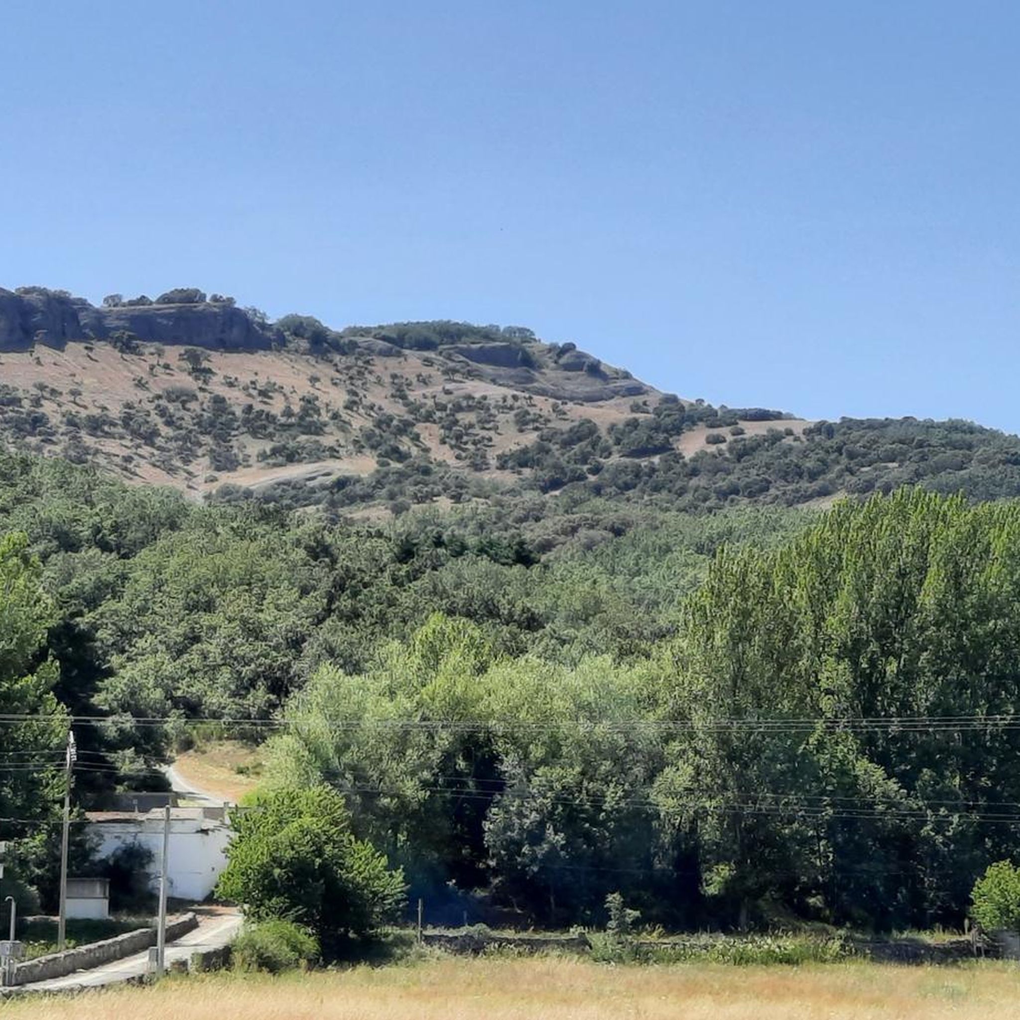
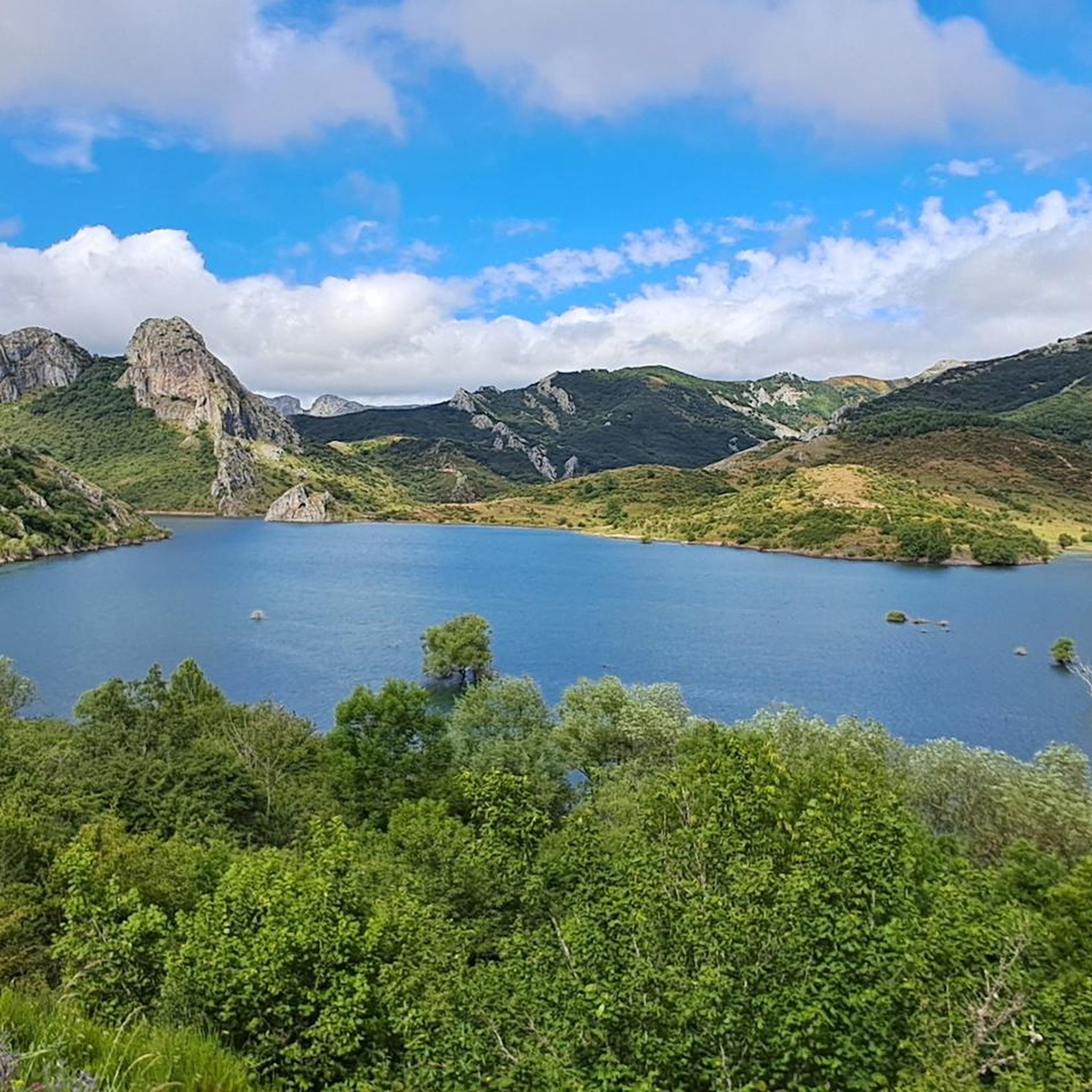
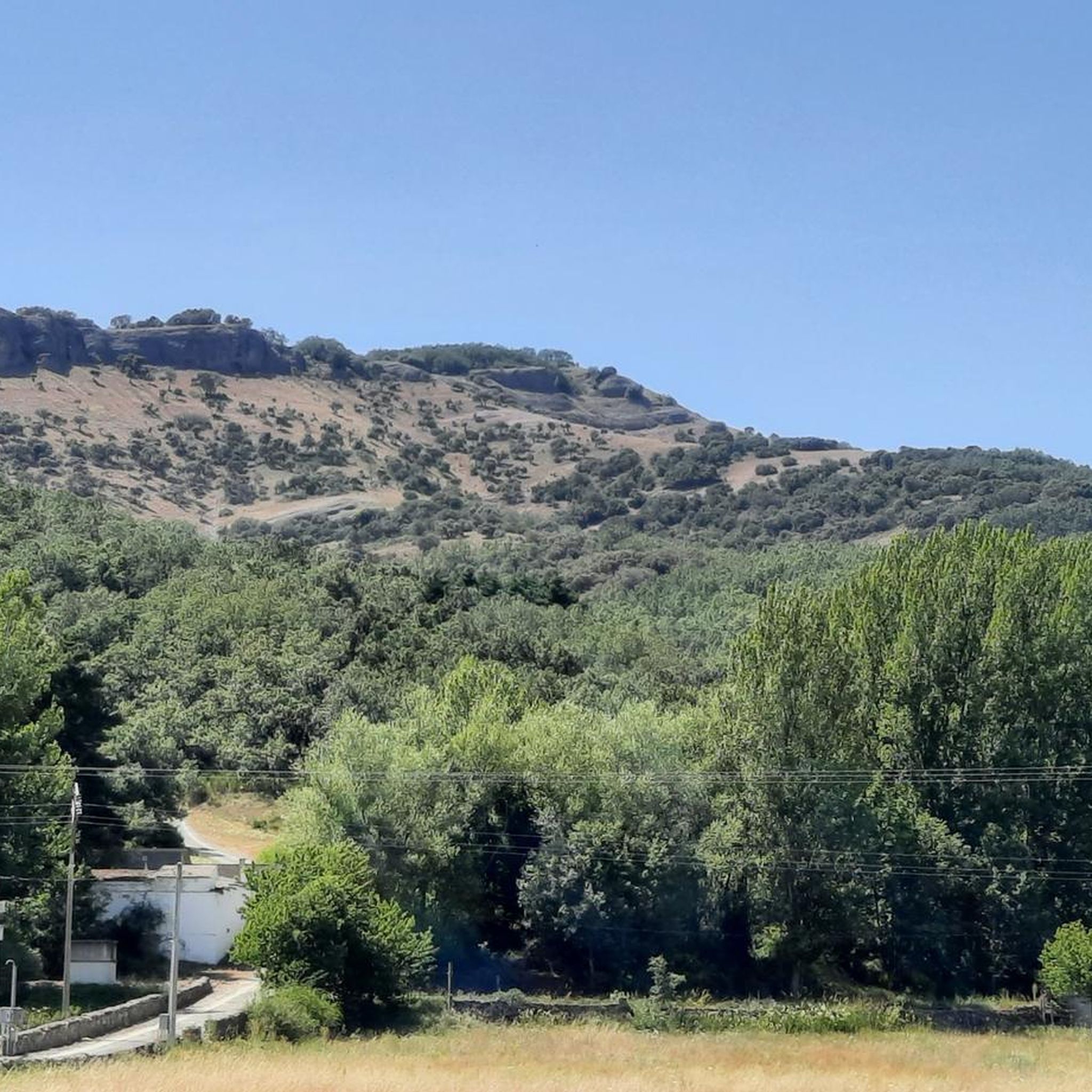
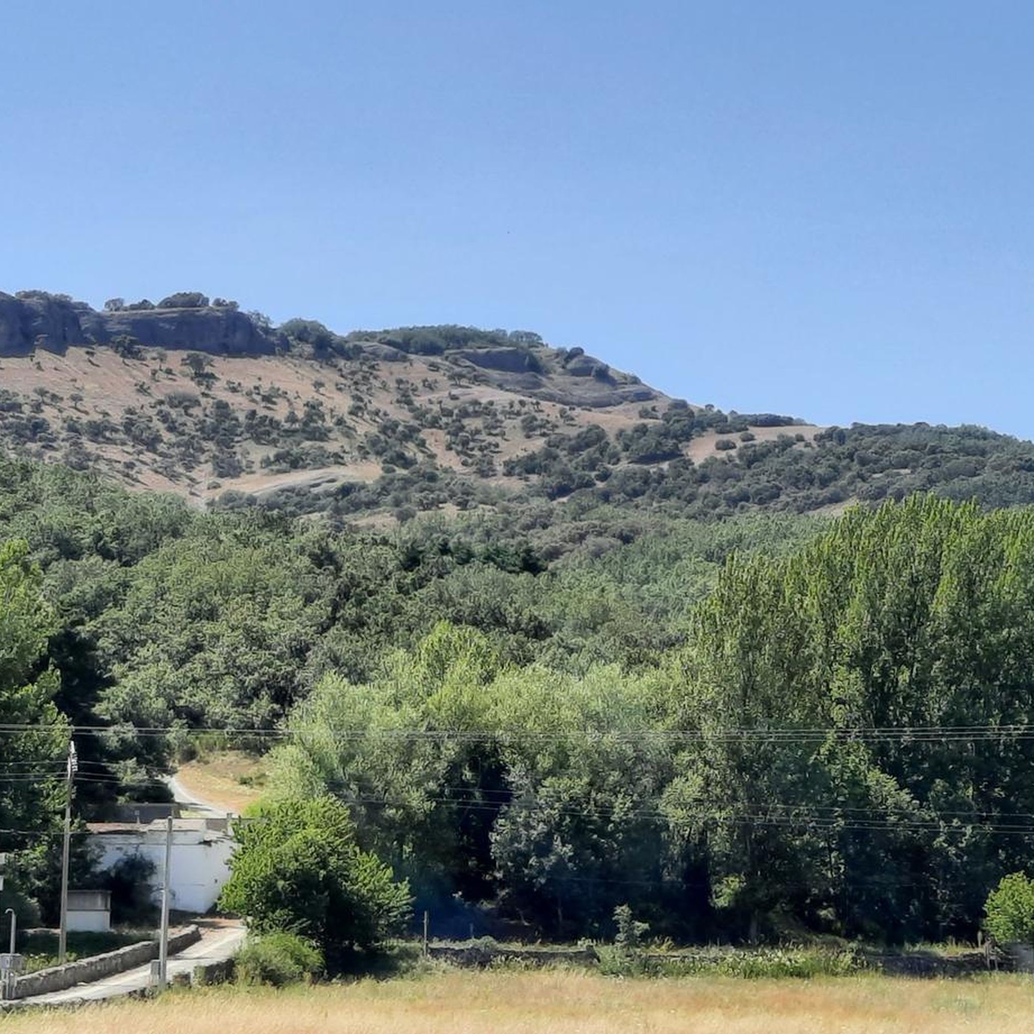
Hiking around Valdepiélago offers diverse terrain within the central León Mountains. The region features dramatic gorges, serene valleys, and cascading waterfalls, carved by rivers like the Curueño and Torío. Limestone formations are prominent, with some canyon walls exceeding 100 meters in height. This landscape provides varied hiking opportunities, from valley trails to challenging peak ascents.
Best hiking trails around Valdepiélago
- The most popular hiking route is Valdorria, Fairy Forest, and San Froilán Hermitage Loop, an easy 3.7 miles (6.0…
Last updated: October 10, 2026
4.0
(1)
13
hikers
5.98km
01:55
250m
250m
Easy hike. Great for any fitness level. Easily-accessible paths. Suitable for all skill levels.
4.5
(2)
16
hikers
6.89km
02:20
320m
320m
Moderate hike. Good fitness required. Mostly accessible paths. Sure-footedness required.

27
hikers
7.53km
02:47
490m
490m
Moderate hike. Good fitness required. Easily-accessible paths. Suitable for all skill levels.
5.0
(1)
5
hikers
4.80km
02:53
540m
540m
Moderate hike. Good fitness required. Mostly accessible paths. Sure-footedness required.
5.0
(1)
9
hikers
1.18km
00:22
50m
50m
Easy hike. Great for any fitness level. Easily-accessible paths. Suitable for all skill levels.
Get access to more routes and recommendations from other explorers.
Already have an account?
Our route recommendations are based on thousands of hikes, rides, and runs completed by other people on komoot.
Start today with a free account
Your next adventure awaits.
Tips from the Community


Nocedo Waterfall, also known as Cola de Caballo Waterfall, is one of the most accessible and spectacular natural spots in the Central León Mountains, located near Nocedo de Curueño, in the municipality of Valdepiélago. Approximately 4 meters high, it was formed by the Valdecésar stream as it negotiates a steep drop on its way to the Curueño River.
4
0
The Hermitage of San Froilán, located at the top of Peña de Valdorria (municipality of Valdepiélago, León), is one of the most emblematic and spiritual places in the León mountains. It stands at an altitude of 1,430 meters, perched among cliffs, and is accessed via a steep staircase with 365 steps carved into the rock, one for each day of the year.
4
0

It is 50 meters from the road. It is accessed by some footbridges. Bike on the shoulder Please be calm: be discreet
0
0

Also known as Cascada de Valdecesar or Cola de Caballo, it has become popular in recent times. Easily accessible if we park the car on the side of the road or if we are more adventurous, we can do the route from Valdorria through the Forest of Fairies or Támbore, where we must go carefully if we go in rainy or winter seasons due to to icy and/or slippery areas.
2
1
Also known as Cascada de Valdecesar or Cola de Caballo, it has become popular in recent times. Easily accessible if we park the car on the side of the road or if we are more adventurous, we can do the route from Valdorria through the Forest of Fairies or Támbore, where we must go carefully if we go in rainy or winter seasons due to to icy and/or slippery areas.
2
0
365 steps separate the Hermitage of San Froilán and the town of Valdorria. From the hermitage we will have wonderful views of the Forest of the Fairies and the town of Leon.
1
1
Frequently Asked Questions
How many hiking trails are available around Valdepiélago?
Based on komoot data, there are over 20 hiking routes in the Valdepiélago area. These range from easy valley walks to challenging mountain ascents, catering to various fitness levels.
What is the range of difficulty for hiking trails in Valdepiélago?
Valdepiélago offers a diverse range of trails. You'll find 6 easy routes, 11 moderate routes, and 3 difficult routes. This variety ensures options for beginners and experienced trekkers alike.
Are there any trails that feature waterfalls in Valdepiélago?
Yes, the region is known for its beautiful waterfalls. You can explore the approximately 4-meter high Nocedo Waterfall (also known as Cola de Caballo Waterfall), which is a prominent natural spot. A moderate circular route, Nocedo Waterfall – View of Valdorria, León loop from Valdepiélago, offers views of this waterfall. Another option is the Valdorria, Fairy Forest, and San Froilán Hermitage Loop, which leads to the Cascada de Valdecesar.
Are there any family-friendly hiking options in Valdepiélago?
Yes, Valdepiélago has several easy trails suitable for families. The Valdorria, Fairy Forest, and San Froilán Hermitage Loop is an easy 6 km route that takes less than 2 hours, leading through the 'Fairy Forest' and to the Ermita de San Froilán. Another easy option is the Mina Bardaya Greenway, which is a 9.4 km route suitable for a relaxed experience.
What kind of natural landmarks or viewpoints can I expect to see on hikes in Valdepiélago?
Valdepiélago is rich in natural beauty. You can expect to see dramatic gorges like the Vegacervera Gorge and the Curueño Gorge, serene valleys such as Valdorria and Valdecésar, and cascading waterfalls like the Nocedo Waterfall. The Collado Cimero Ridge also offers beautiful views over the Orzonaga beech forest.
Are there any circular hiking routes available in Valdepiélago?
Yes, there are several circular routes. For a moderate option, consider the Nocedo Waterfall – View of Valdorria, León loop from Valdepiélago, which is about 6.3 km. For a more challenging full-day hike, the Nocedo Waterfall – Ermita de San Froilán loop from Valdepiélago covers 17.7 km and combines both the waterfall and the historic hermitage.
What do other hikers enjoy most about hiking in Valdepiélago?
The area is highly rated by the komoot community, with an average score of 4.6 stars from over 20 reviews. Hikers often praise the diverse terrain, from dramatic gorges to serene valleys and waterfalls, and the variety of routes suitable for different abilities.
Are there any historical or spiritual sites accessible via hiking trails?
Yes, the region has significant historical and spiritual sites. The Valdorria, Fairy Forest, and San Froilán Hermitage Loop leads to the Ermita de San Froilán, a spiritual site perched at 1,430 meters, accessible by a steep 365-step staircase carved into the rock. The area also features the ancient Roman road, Ruta de la Calzada romana de la Vegarada, offering a historical hiking experience.
What is the typical duration for hikes in Valdepiélago?
Hiking durations vary significantly depending on the route's length and difficulty. Easy trails like the Valdorria, Fairy Forest, and San Froilán Hermitage Loop can be completed in under 2 hours. Moderate routes, such as the Nocedo Waterfall – View of Valdorria, León loop from Valdepiélago, typically take around 2 hours and 10 minutes. More challenging routes, like the Nocedo Waterfall – Ermita de San Froilán loop from Valdepiélago, can take almost 7 hours.
Are there any challenging mountain ascents in the Valdepiélago area?
Yes, for experienced hikers seeking a challenge, the region offers routes like the Ascent to Polvoredo from Vegacervera — round trip. This 14.8 km trail leads through mountainous terrain to Polvoredo Peak, which rises to 2007 meters, and involves over 1000 meters of elevation gain, typically taking almost 6 hours to complete.
What kind of terrain can I expect on the hiking trails around Valdepiélago?
The terrain around Valdepiélago is highly varied. You'll encounter dramatic gorges with limestone walls, serene valleys, forested areas, and mountainous paths. Some routes follow ancient Roman roads, while others lead through more rugged, natural landscapes.
Most popular attractions around Valdepiélago

Get inspired with the komoot mobile app


Explore more
Browse the best Hikes in other regions.
