The best cycling routes around Cardenete
5
riders
3
rides
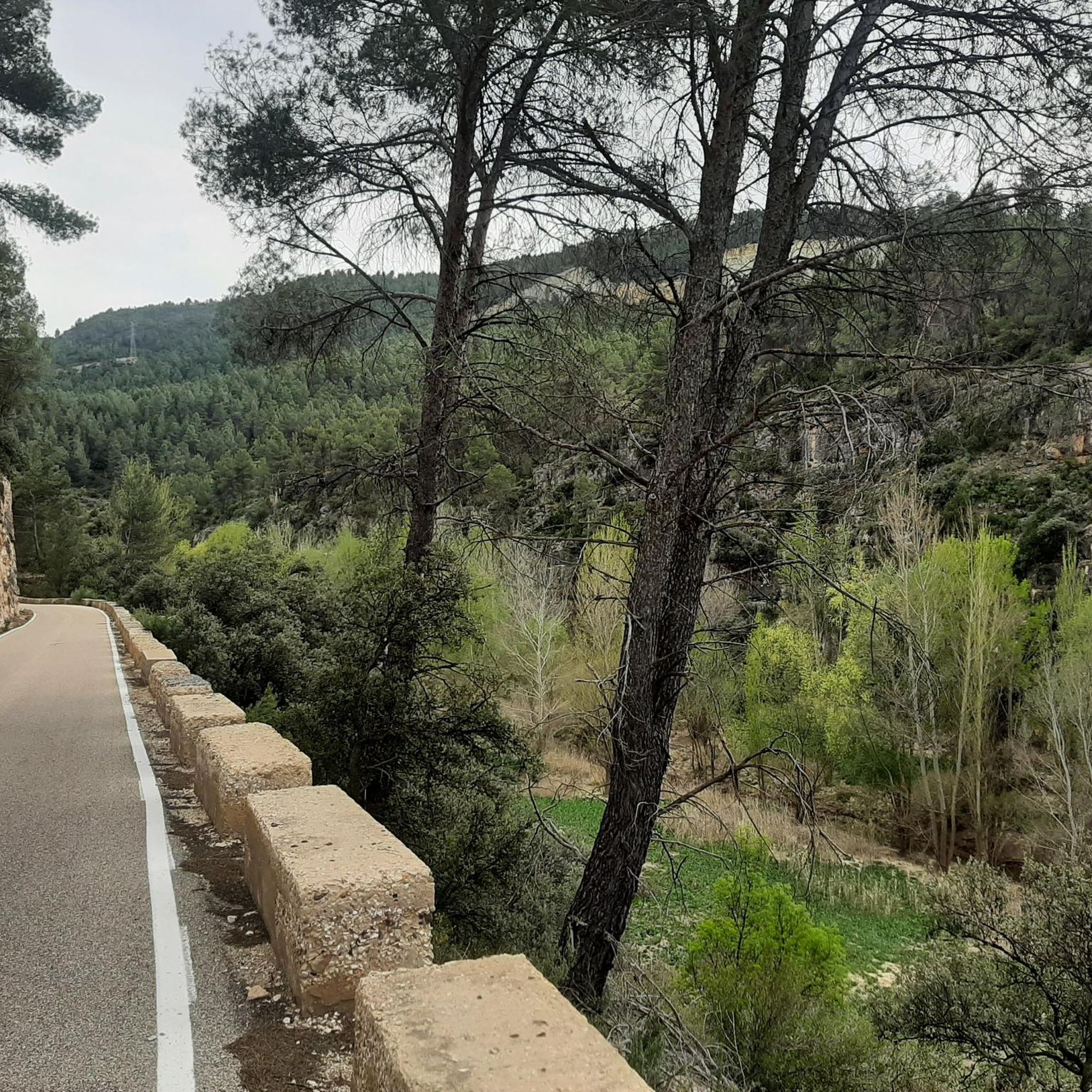
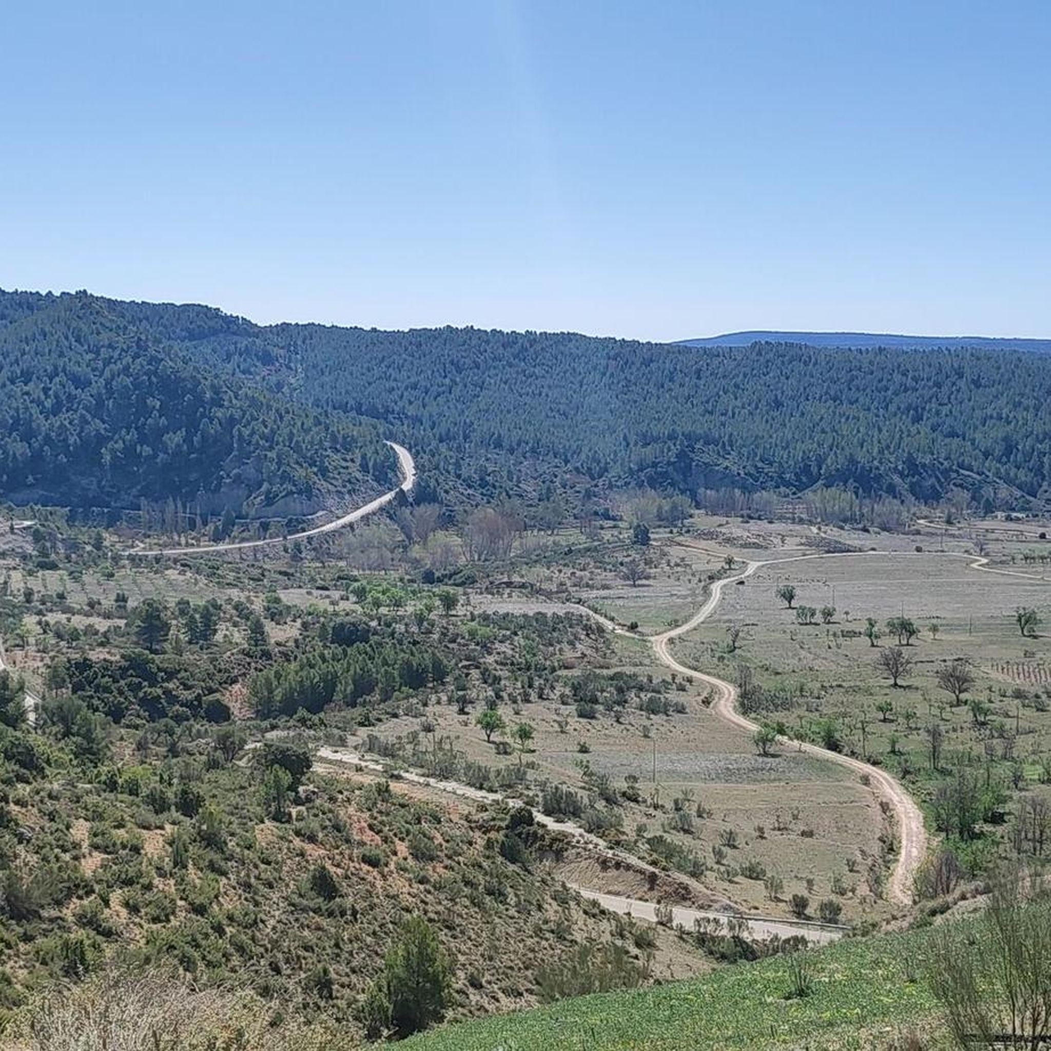
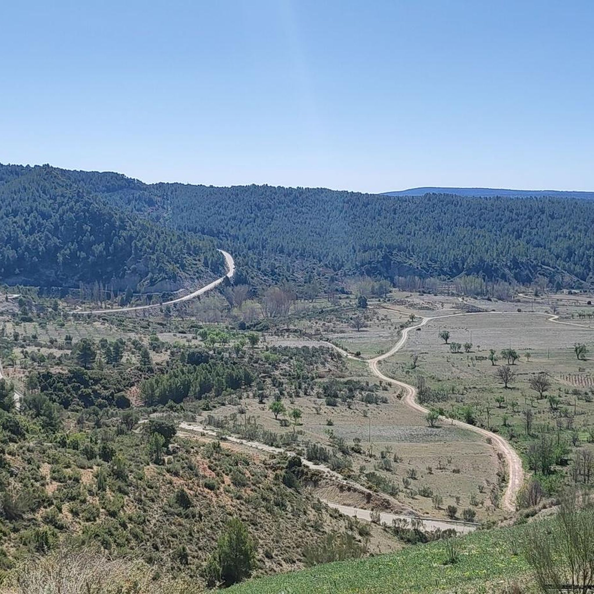
Touring cycling around Cardenete offers diverse landscapes within the Baja Serranía de Cuenca, characterized by valleys, mountains, and dense pine forests. The region is part of the Cabriel River Valley Biosphere Reserve, featuring pristine rivers and continuous ascents and descents. Cyclists encounter varied terrain, including stony dirt roads and asphalted sections, with elevations ranging up to 1430 meters in the Sierra de Mira. Natural springs are common, providing refreshing stops along the routes.
Best touring cycling routes around Cardenete
- The…
Last updated: June 29, 2026
50.5km
03:57
850m
850m
Hard bike ride. Very good fitness required. Mostly paved surfaces. Suitable for all skill levels.
3
riders
38.8km
03:56
750m
750m
Hard bike ride. Very good fitness required. Mostly paved surfaces. Suitable for all skill levels.

Sign up for free
2
riders
72.4km
04:43
1,010m
1,010m
Hard bike ride. Very good fitness required. Mostly paved surfaces. Suitable for all skill levels.
Our route recommendations are based on thousands of hikes, rides, and runs completed by other people on komoot.
Start today with a free account
Your next adventure awaits.
Login or Signup

Tips from the Community

Worthwhile detour through this picturesque gorge. The fully packed touring bike just barely fit (see photo), short pushing sections. Respect for the amount of work that went into these wooden walkways!
0
0

The road between Cardenete and Enguídanos, in the Serranía Baja region of Cuenca, is one of the most beautiful stretches in this area. Although not officially designated as a "scenic road," the route is featured on hiking and cycling itineraries that highlight its stunning landscapes, rivers, gorges, mountains, and natural monuments.
3
0
The Vencherque River River Walk is a charming route located in Villar del Humo, in the province of Cuenca. It is a flat and easy route, suitable for all ages. Enjoy a quiet walk along the river, surrounded by diverse vegetation such as walnut trees, cattails and poplars.
6
0

Walking along paths and roads. The land is also cool!
0
1
Great site! To see without hesitation if you are in the region and even make a detour because the site is exceptional. It is possible to leave your car quite close to the site and take good shoes!
0
1

Paracuellos de la Vega is a small town in Cuenca, watched over from the hill by a 12th century castle. If you want to go up to see it, you can still make out the keep and the walls.
1
0

It is a charming town located on the side of a hill, which is guarded by its castle on top and protected by the Cabriel River. Here you can enjoy two very popular Routes: Los Cuatro Ríos and Las Chorreras del Cabriel.
0
1
Frequently Asked Questions
What is the general difficulty level for touring cycling routes around Cardenete?
The touring cycling routes around Cardenete are primarily designed for advanced ability levels. The terrain in the Baja Serranía de Cuenca is characterized by continuous ascents and descents, with significant elevation gain, making for a challenging yet rewarding experience.
Are there any circular touring cycling routes available in Cardenete?
Yes, several routes offer a circular experience. For example, the Cardenete from Enguídanos — circular by Víllora is a popular 50.5 km loop, and the Cardenete Castle – Enguídanos loop from Cardenete is a longer 72.4 km option.
What kind of landscapes can I expect to see while cycling in Cardenete?
Cardenete offers diverse landscapes within the Baja Serranía de Cuenca. You'll cycle through valleys, mountains, and dense pine forests, particularly within the Cabriel River Valley Biosphere Reserve. The Sierra de Mira, with its limestone massifs and sandstone outcrops, also provides scenic views and varied terrain.
Are there any historical or cultural points of interest along the cycling routes?
Yes, Cardenete is situated on the historical Camino de la Lana, a Jacobean pilgrimage route, offering cultural insights. You can also explore the town of Cardenete itself, with its ancient layout, Plaza Mayor, 16th-century Town Hall, and the Church of Nuestra Señora de la Asunción. The Cardenete Castle is also a notable landmark.
What natural attractions can I discover near the touring cycling routes?
The region is rich in natural beauty. You can find pristine rivers and natural springs, perfect for refreshing stops. Notable natural monuments include Las Chorreras (waterfalls), the Lagunas de Cañada del Hoyo, and the Nacimiento del Río Cuervo. The Las Corbeteras natural monument is also nearby.
What is the longest touring cycling route in this guide?
The longest route featured is the Cardenete Castle – Enguídanos loop from Cardenete, which spans 72.4 km and typically takes around 4 hours and 43 minutes to complete, traversing the mountainous landscape of the Serranía Baja de Cuenca.
Are there any routes that offer river views?
Yes, the Vencherque River Entrance loop from Villar del Humo explores the natural beauty of the Cabriel River Valley, providing extensive pine forests and scenic river views throughout its 38.8 km length.
What types of surfaces can I expect on the touring cycling trails?
Cyclists around Cardenete will encounter varied terrain, including both stony dirt roads and some asphalted sections. This mix caters to different cycling preferences while offering a true touring experience through the region's natural environment.
What do other touring cyclists enjoy most about cycling in Cardenete?
Touring cyclists who have explored Cardenete often praise the challenging mountainous terrain, the serene experience of cycling through dense pine forests, and the beauty of the pristine rivers. The continuous ascents and descents are frequently highlighted as a key characteristic of the routes.
Are there any castles to visit near the cycling routes?
Yes, the area around Cardenete is home to several castles. You can visit Cardenete Castle, Enguídanos Castle, and Paracuellos Castle, offering glimpses into the region's history.
What is the highest elevation reached on the touring cycling routes?
The region includes the Sierra de Mira, where elevations range from 1200 to 1430 meters. While specific route maximums vary, you can expect significant climbs, with some routes featuring over 1000 meters of elevation gain, such as the Cardenete Castle – Enguídanos loop from Cardenete.
Most popular attractions around Cardenete

Get inspired with the komoot mobile app


Explore more
Browse the best Cycling routes in other regions.
