The best walks and hikes around Cardenete
4.4
(12)
71
hikers
6
hikes
Hiking around Cardenete offers access to the natural environment of the Serranía Baja conquense, characterized by distinctive landscapes. The region features spectacular rock formations, dramatic ravines, and picturesque river gorges. Dense woods and a water-rich environment define the terrain, providing varied hiking experiences. Numerous natural springs and fountains are also present along many trails.
Best hiking trails around Cardenete
- The most popular hiking route is River walk of the Vencherque River - circular from Villar del Humo, a 4.3…
Last updated: May 15, 2026
2.0
(2)
3
hikers
7.00km
01:56
120m
120m
Easy hike. Great for any fitness level. Easily-accessible paths. Suitable for all skill levels.
Easy hike. Great for any fitness level. Easily-accessible paths. Suitable for all skill levels.

Sign up for free
5.0
(5)
40
hikers
13.7km
03:48
240m
240m
Moderate hike. Good fitness required. Easily-accessible paths. Suitable for all skill levels.
5.0
(2)
10
hikers
6.97km
01:58
150m
150m
Easy hike. Great for any fitness level. Easily-accessible paths. Suitable for all skill levels.
5.0
(2)
8
hikers
9.37km
02:46
270m
260m
Moderate hike. Good fitness required. Easily-accessible paths. Suitable for all skill levels.
Our route recommendations are based on thousands of hikes, rides, and runs completed by other people on komoot.
Start today with a free account
Your next adventure awaits.
Login or Signup
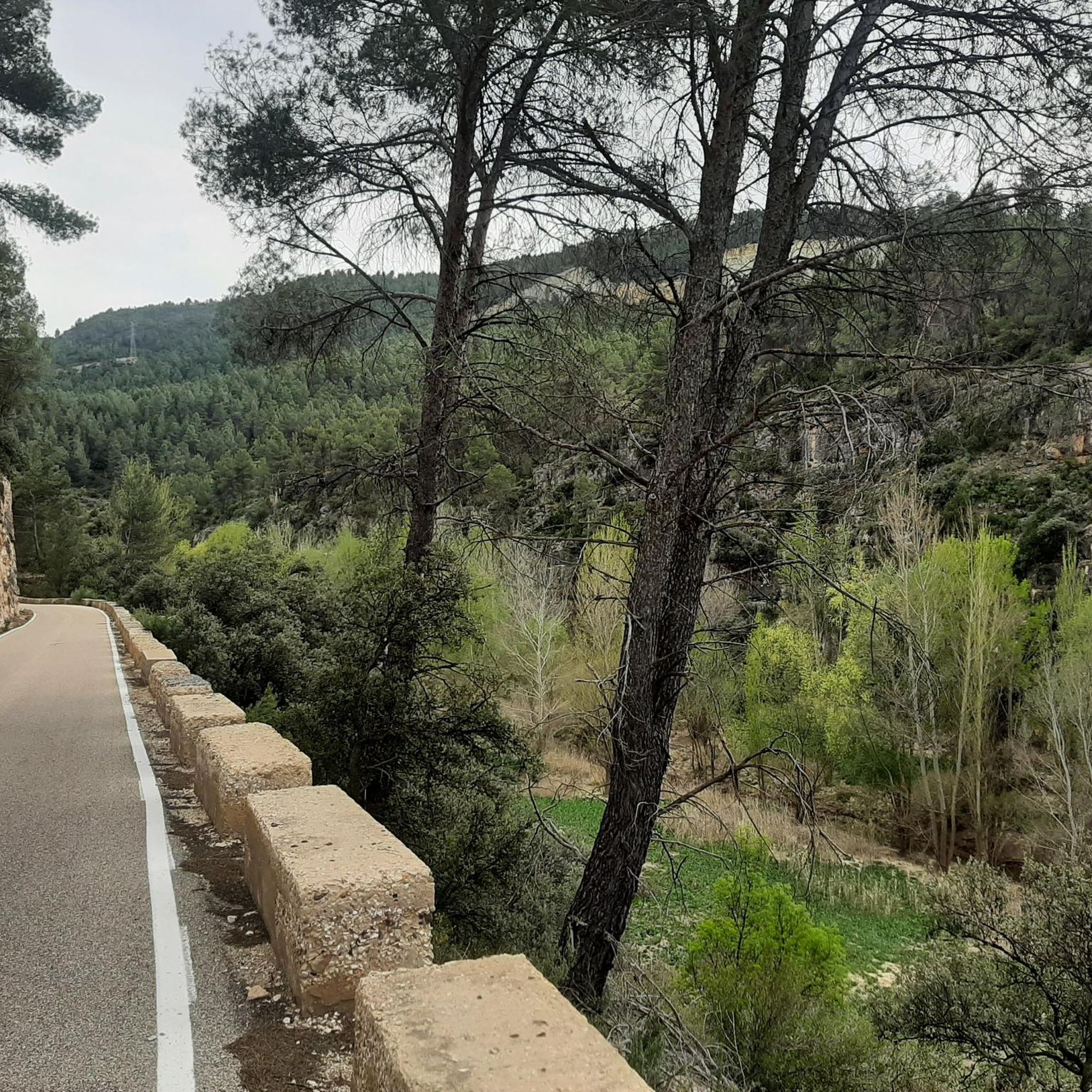
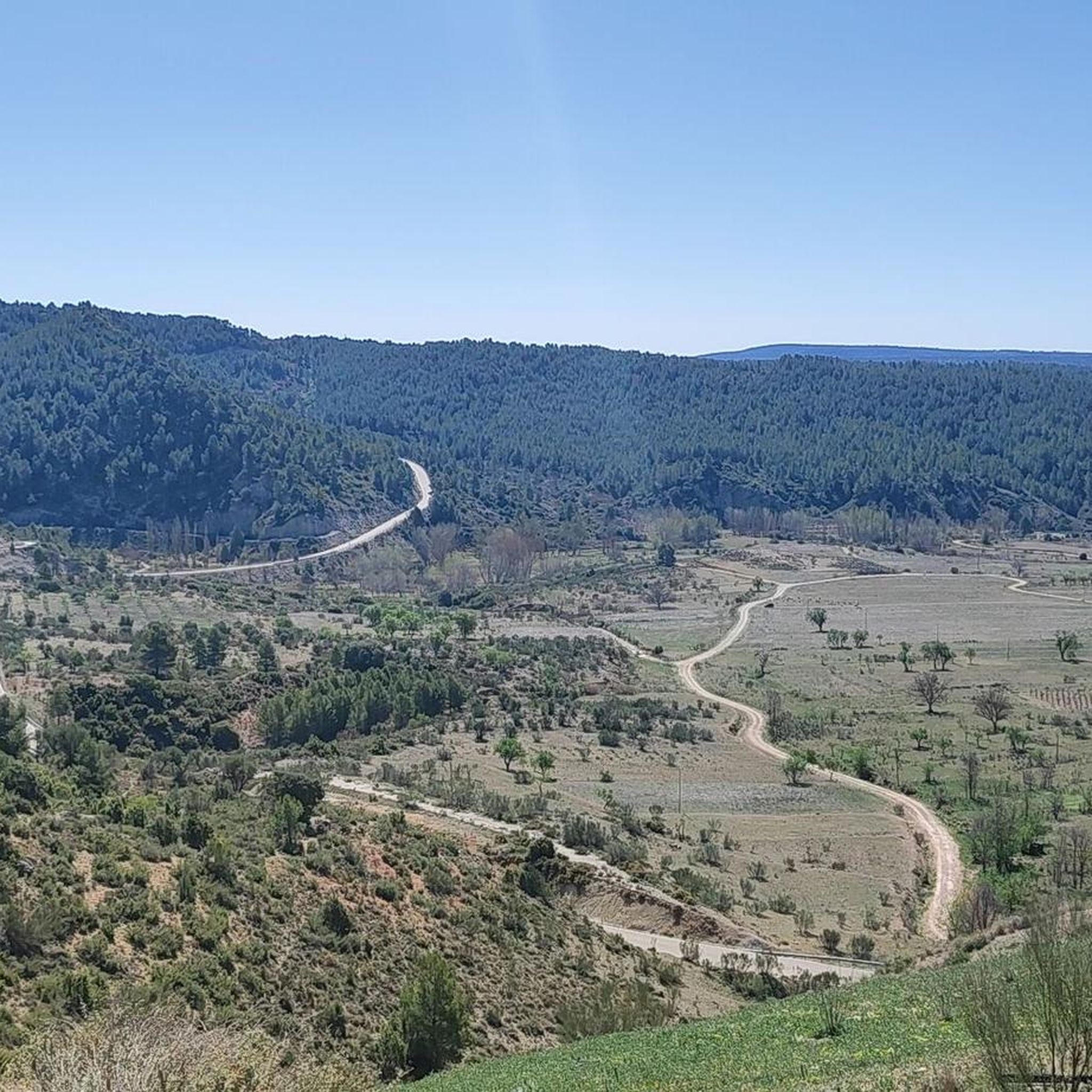

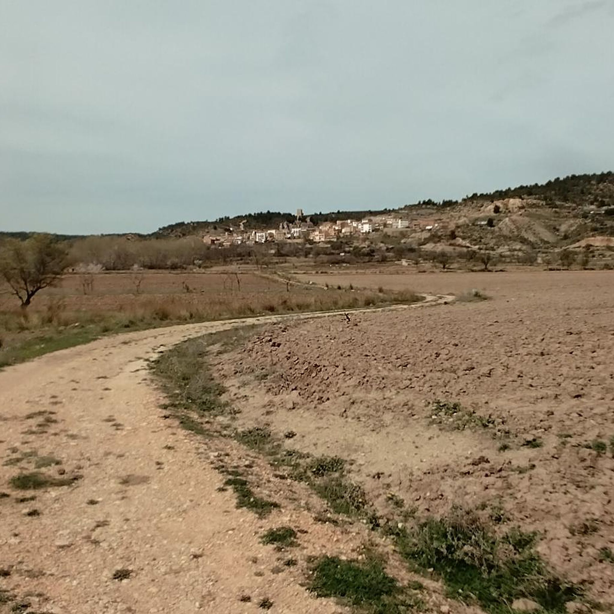
Tips from the Community

Lovely fountain with maps of hiking trails and lots of explanation about the geology of the region, super informative.
0
0
Magnificent panoramic view from this natural lookout, indicated by a sign, about a hundred meters from the PR-CU 50 trail.
2
0

In SUMMER .... Take a bath!!!!!!!! In WINTER .... ?¿?¿
0
1
Walking along paths and roads. The land is also cool!
0
1

The Chorreras del río Cabriel in Enguídanos, in the province of Cuenca, are an impressive natural site known for its waterfalls, gorges, rapids and turquoise-blue pools.
2
0

Great site! To see without hesitation if you are in the region and even make a detour because the site is exceptional. It is possible to leave your car quite close to the site and take good shoes!
0
1

It is a charming town located on the side of a hill, which is guarded by its castle on top and protected by the Cabriel River. Here you can enjoy two very popular Routes: Los Cuatro Ríos and Las Chorreras del Cabriel.
0
1
Frequently Asked Questions
What kind of terrain can I expect when hiking around Cardenete?
Hiking around Cardenete offers a diverse natural environment within the Serranía Baja conquense. You'll encounter spectacular rock formations, dramatic ravines, and picturesque river gorges. The landscape is characterized by dense woods and is rich in water, with numerous natural springs and fountains along many trails.
Are there any easy hiking trails suitable for beginners or families in Cardenete?
Yes, Cardenete offers several easy trails perfect for beginners or families. For example, the River walk of the Vencherque River - circular from Villar del Humo is an easy 7 km route that follows the river. Another great option is Las Chorreras de Enguídanos - circular by the Cabriel river and Guadazaón, an easy 3.7 km path offering scenic river views.
Are there any circular hiking routes available in Cardenete?
Many of the trails around Cardenete are circular, providing convenient starting and ending points. The River walk of the Vencherque River - circular from Villar del Humo is a popular circular option. For a longer moderate challenge, consider the Four Rivers Trail – Las Chorreras loop from Enguídanos.
What are some notable natural features or landmarks to see while hiking in Cardenete?
The region is known for its spectacular rock formations and river gorges. A prominent natural feature is the 'Ciudad Encantada' (Enchanted City), a unique karst landscape with whimsical rock sculptures. You can also visit Las Chorreras, a beautiful waterfall, or explore the Las Corbeteras natural monument. The area also features numerous natural springs and fountains.
Are there any waterfalls or significant water features along the trails?
Yes, the Cardenete area is rich in water features. The 'Senda de Las Fuentes' (PR-CU 51) is specifically known for its abundant natural springs. You can also find the impressive Las Chorreras waterfall, which is a highlight on several routes, including the Las Chorreras de Enguídanos - circular by the Cabriel river and Guadazaón trail.
What do other hikers say about the trails in Cardenete?
The trails in Cardenete are highly rated by the komoot community, with an average score of 4.4 stars from more than 10 reviews. Hikers often praise the distinctive landscapes, dense woodlands, and the presence of numerous natural springs and river gorges.
Are there any historical sites or castles near the hiking routes?
Yes, the region around Cardenete has several historical sites, including castles. You can find Cardenete Castle and Paracuellos Castle, as well as Enguídanos Castle. These historical landmarks offer interesting points of exploration in addition to the natural beauty.
What is the best time of year to go hiking in Cardenete?
Cardenete's landscape, characterized by dense woods and a water-rich environment, makes it appealing across seasons. However, spring and autumn generally offer the most pleasant temperatures for hiking, with lush greenery in spring and vibrant colors in autumn. The minimal elevation changes on many trails, like the 'Senda de Las Fuentes', make them accessible even in slightly cooler or warmer conditions.
Are there any longer, more challenging hikes in the area?
While many trails are easy, there are options for moderate hikes. The Four Rivers Trail – Las Chorreras loop from Enguídanos is a moderate 13.7 km trail that leads through river gorges and unique rock formations, typically taking around 3 hours 48 minutes. Another moderate option is the Four Rivers Trail – Enguídanos loop from Enguídanos, which is about 9.9 km long.
What kind of wildlife might I encounter while hiking in Cardenete?
The dense woods and water-rich environment of the Serranía de Cuenca region support a diverse array of wildlife. Hikers might spot various bird species, including vultures and other raptors. Larger mammals such as deer, wild boars, and mouflons also inhabit the area.
Are there any trails that offer scenic viewpoints?
Yes, several trails provide scenic viewpoints. The 'Senda de Las Fuentes' (PR-CU 51), for instance, offers beautiful viewpoints overlooking the Cabriel River. The dramatic ravines and picturesque river gorges throughout the region ensure many opportunities for stunning vistas.
Most popular attractions around Cardenete

Get inspired with the komoot mobile app


Explore more
Browse the best Hikes in other regions.
