The best walks and hikes around Baralla
3.3
(7)
63
hikers
7
hikes
Hiking around Baralla offers exploration within a rural landscape characterized by the Neira River valley and its surrounding fertile areas. The municipality is situated within the Comarca dos Ancares, a mountainous region known for deep valleys and diverse forests, and is also part of the Terras do Miño Biosphere Reserve. This area provides access to varied terrain, including riverside paths and more elevated routes within a significant ecological zone.
Best hiking trails around Baralla
- The most popular hiking route is…
Last updated: August 22, 2026
4.0
(3)
10
hikers
12.2km
03:47
440m
440m
Moderate hike. Good fitness required. Easily-accessible paths. Suitable for all skill levels.
4.0
(2)
10
hikers
10.8km
03:13
340m
340m
Moderate hike. Good fitness required. Easily-accessible paths. Suitable for all skill levels.

Sign up for free
8
hikers
12.7km
03:52
430m
430m
Moderate hike. Good fitness required. Easily-accessible paths. Suitable for all skill levels.
4
hikers
16.2km
04:52
520m
510m
Moderate hike. Good fitness required. Easily-accessible paths. Suitable for all skill levels.
5
hikers
Easy hike. Great for any fitness level. Easily-accessible paths. Suitable for all skill levels.
Get access to more routes and recommendations from other explorers.
Sign up for free
Already have an account?
Our route recommendations are based on thousands of hikes, rides, and runs completed by other people on komoot.
Start today with a free account
Your next adventure awaits.
Login or Signup
Popular around Baralla
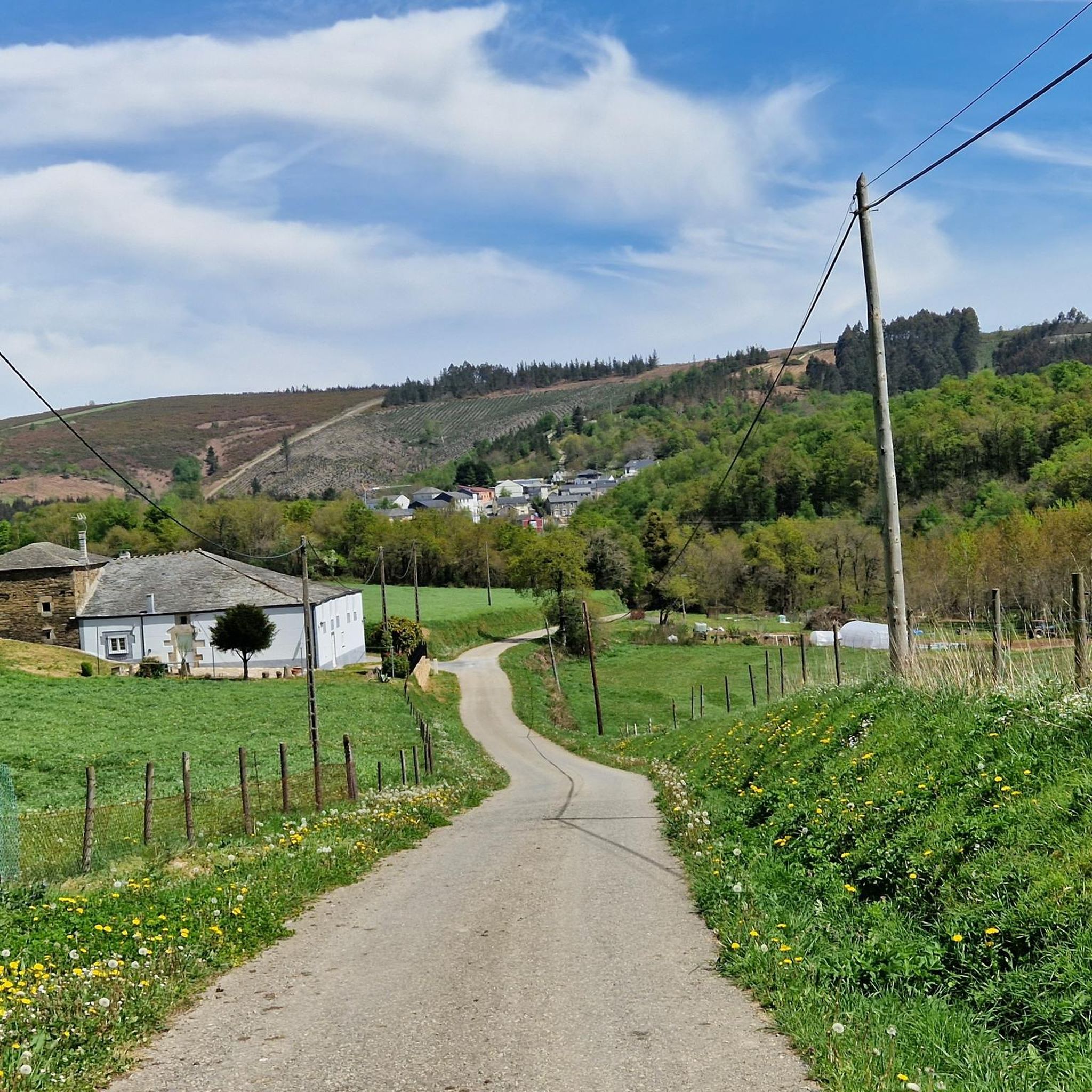
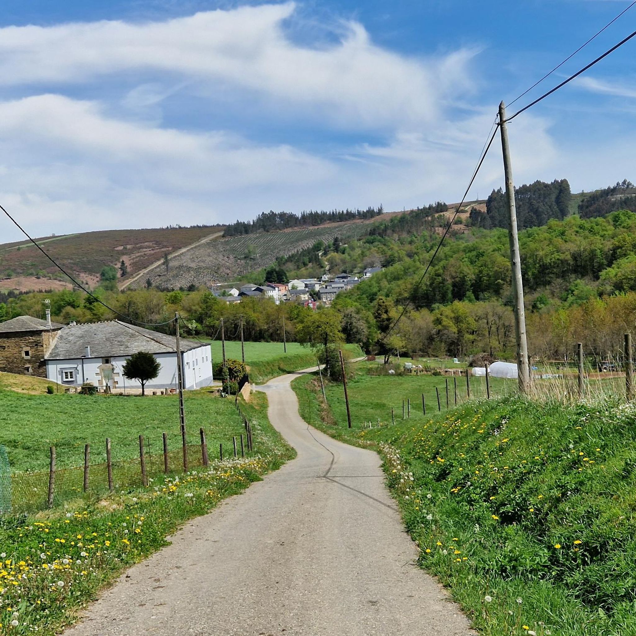
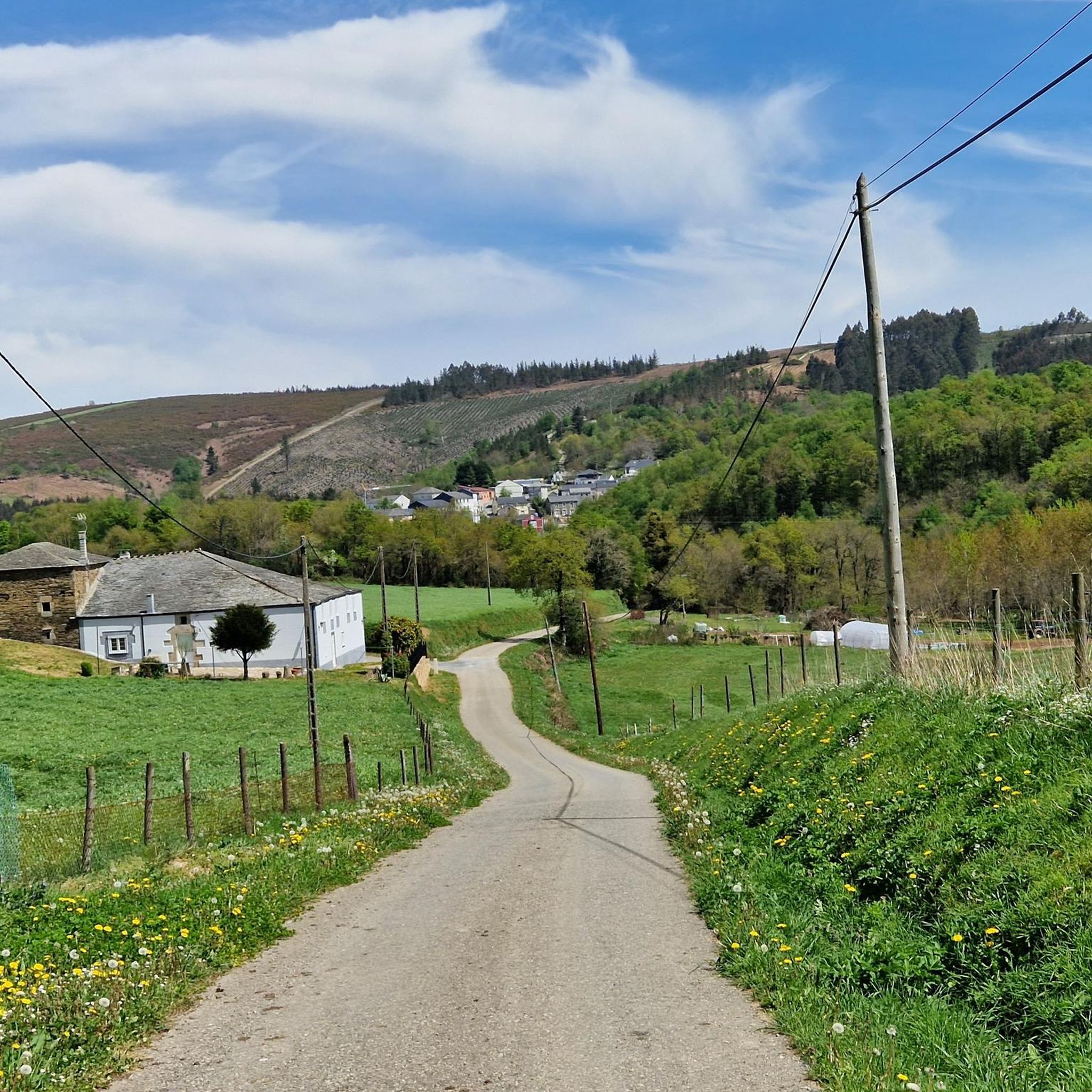
Tips from the Community

A Lastra, in the Lucense municipality of Baleira, is a small village representative of the Galician rural interior, where tranquility, direct contact with nature, and a slow pace of life predominate. Its surroundings, with green landscapes, mountains, and meadows, are very attractive to those seeking to disconnect from the urban hustle and bustle, although it also reflects the challenges of many rural areas, such as depopulation and the limited range of services. Overall, A Lastra conveys authenticity and simplicity, being an ideal place for those who value rural life and roots in Galician tradition.
2
0
The Os Grobos Forest, located between the municipalities of Becerreá and As Nogais (Lugo), is one of Galicia's most magical and secret corners, ideal for nature and fantasy lovers. It is a karst landscape with limestone rock formations shaped by moisture and the passage of time, covered in moss and surrounded by chestnut trees, oaks, ferns, and ivy.
3
0

Here in Triacastelle you have to choose between two routes on the Way of St. James. Both lead to Sarria. I recommend the route via Samos. A little longer, but more beautiful.
3
0

Walk right to get to Sarria, walk left to add a night in Samos.
2
0
If you decide to explore this route, you will be surrounded by nature, history and breathtaking views. Enjoy your hike! 🏞️🚶♂️🥾🚵🌞
4
0

Signage on the Camino de Santiago is essential for pilgrims. Yellow arrows: These arrows will guide you throughout the entire route. They indicate the direction to follow, especially at crossroads. The yellow color is due to the contribution of the parish priest Elías Valiña, a key figure in the resurgence of the Camino de Santiago in the 20th century. Cairns or milestones: These concrete blocks include an arrow, a yellow shell on a blue background and the distance in kilometers to Santiago de Compostela. You will find them every 500 meters in Galicia. Scallop shells: In addition to being drawn on the markers, scallop shells are distributed throughout the Camino. They are universal symbols and have been carried by pilgrims for centuries. The open part of the shell indicates the direction towards Santiago. Good way! 🚶♂️🌟
1
0
At the end of the Rúa de Peregrino in Triacastela, the Camino de Santiago forks, offering two main routes to reach Sarria: San Xil Route: This is the historic and most direct route, which crosses the San Xil valley, passing through picturesque villages and rural roads. Samos Route: This variant is a little longer and passes through the Benedictine monastery of Samos, one of the oldest in Spain. Both routes have their charm and offer different landscapes and experiences.😎🚶♀️😊
10
0
Frequently Asked Questions
What are the general difficulty levels of hiking trails around Baralla?
Hiking around Baralla offers a range of options, primarily featuring moderate trails. The komoot community has rated most routes in the area as moderate, with some more challenging ascents available in the wider Comarca dos Ancares region. For example, routes like Os Grobos Forest – Os Grobos Forest loop from As Nogais are considered moderate, involving elevation gains of over 400 meters.
Are there any family-friendly hiking options in the Baralla area?
While specific 'family-friendly' designations are not always explicit, the Neira River valley offers picturesque riverside paths that are generally suitable for nature walks. These areas provide a gentler terrain compared to the more mountainous parts of the Comarca dos Ancares, making them a good choice for families looking for easier strolls.
Can I bring my dog on the hiking trails near Baralla?
Baralla's rural character and abundant nature make it a welcoming area for dog owners. Most trails in natural settings, especially those along the Neira River or within the forest loops, are generally dog-friendly. However, always ensure your dog is under control, especially when passing through cultivated areas or near livestock, and check local regulations for specific routes.
What natural features or landmarks can I expect to see while hiking around Baralla?
Hikers in Baralla can explore diverse natural features. The Neira River valley provides lush, green landscapes and opportunities for birdwatching. The broader Comarca dos Ancares, a Biosphere Reserve, features deep valleys, peaks, and varied forests of oak, chestnut, beech, and birch. You might also encounter the ancient Ancient Chestnut Tree in Ramil, a natural monument along the French Way of the Camino de Santiago.
Are there any historical or cultural points of interest along the trails?
Yes, hiking in and around Baralla offers glimpses into traditional Galician heritage. The area is close to the Camino de Santiago (French Way), and you can find historical routes and attractions for pilgrims. Notable structures include the Ponte de Covas, believed to have Roman origins, and traditional 'pazos' (manor houses) and towers scattered throughout the municipality. The Ancient Chestnut Tree in Ramil – Triacastela loop from Triacastela, for instance, leads through a historic area.
Are there circular hiking routes available in Baralla?
Yes, several popular circular routes are available. For example, the Os Grobos Forest loop from A Horta is a moderate 11 km path offering a forest experience. Another option is the Pilgrims' Refreshment Stand – Straw Hórreo loop from Pena do Trabeiro, which covers over 12 km.
What is the best time of year to go hiking in Baralla?
Baralla offers hiking opportunities throughout the year, with each season presenting a unique experience. Spring brings vibrant colors, while autumn is known for its golden hues in the forests. Summer allows for pleasant strolls along the Neira River, with recreational areas for swimming. Winter can offer snowy vistas in the higher elevations of Os Ancares, though conditions may be more challenging.
Is public transport available to reach hiking trailheads in Baralla?
Baralla is a rural municipality, and public transport options to specific trailheads might be limited. It's advisable to check local bus schedules or consider personal transport for greater flexibility in reaching the starting points of hikes, especially those deeper within the natural areas.
Where can I find parking for hiking trails in Baralla?
Given Baralla's rural setting, parking is generally available in or near the villages and hamlets that serve as starting points for many trails. For routes originating from specific locations like As Nogais or A Horta, you can usually find roadside parking or designated small parking areas. Always park responsibly and considerately, especially in residential areas.
What do other hikers enjoy the most about hiking in Baralla?
The area is highly rated by the komoot community, with an average score of 3.0 stars from 4 reviews. Hikers often praise the varied terrain, from peaceful riverside paths to the dense forests and more elevated routes within the significant ecological zones of the Comarca dos Ancares and Terras do Miño Biosphere Reserve.
Are there any routes that connect to the Camino de Santiago near Baralla?
Yes, Baralla's proximity to the Camino de Santiago (French Way) means you can find routes that intersect with or are inspired by this historic pilgrimage path. For example, the Camino de Santiago Marker – Terra de Luz Pilgrim Rest Stop loop from Montán offers a longer, moderate hike that touches upon the pilgrim experience.
Most popular routes around Baralla
Most popular attractions around Baralla

Get inspired with the komoot mobile app


Explore more
Browse the best Hikes in other regions.
