Stevens Creek Shoreline Nature Study Area Open Space Preserve
Stevens Creek Shoreline Nature Study Area Open Space Preserve
The best gravel rides in Stevens Creek Shoreline Nature Study Area Open Space Preserve
4.8
(21)
177
riders
22
rides
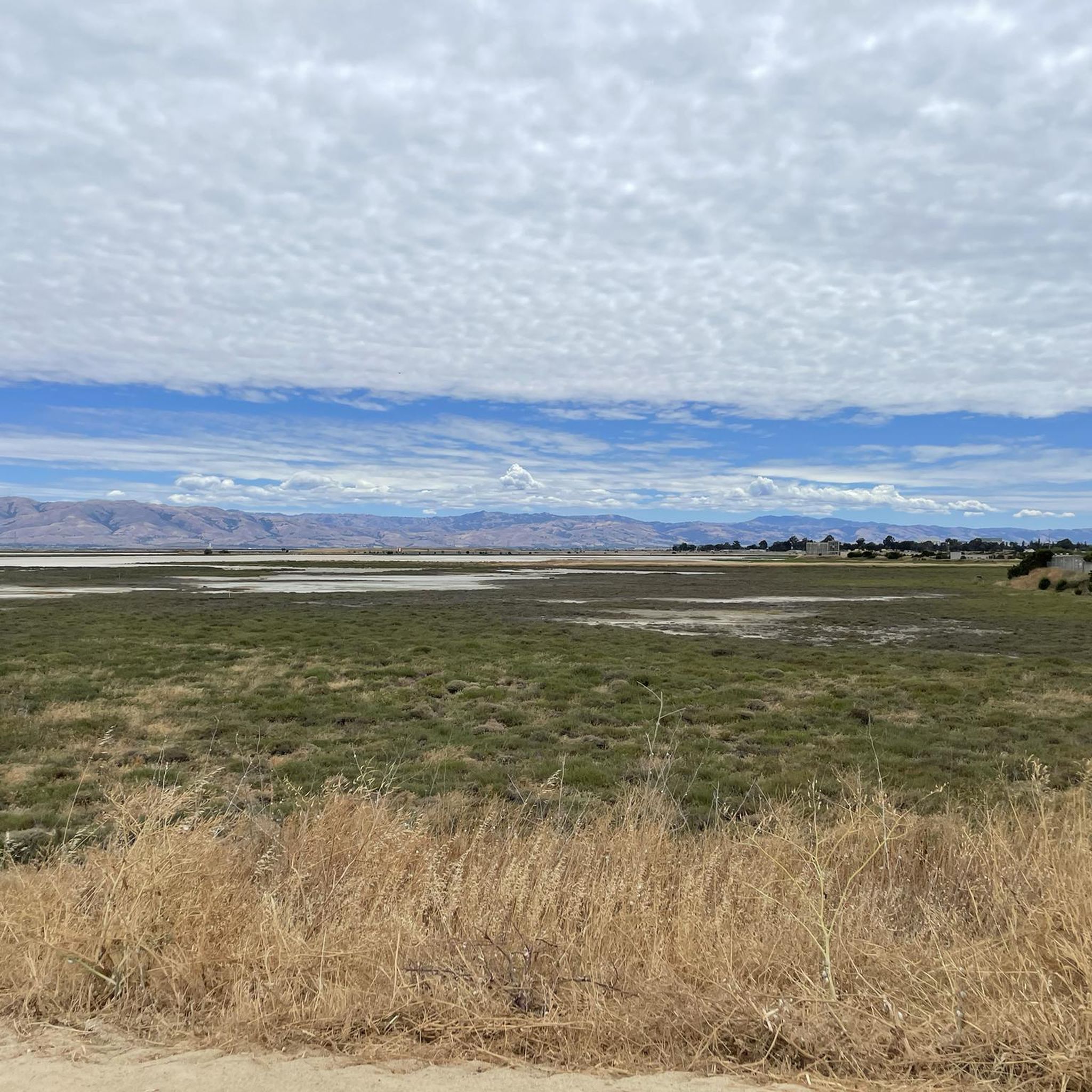
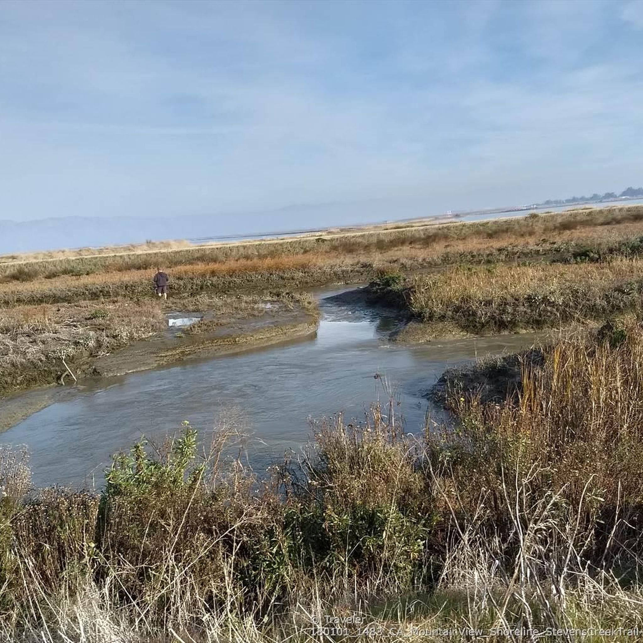
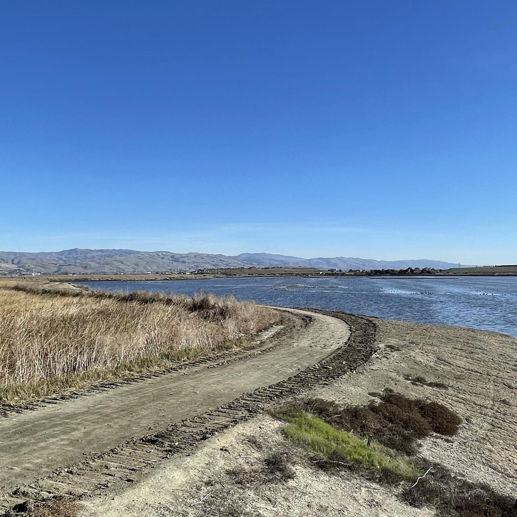
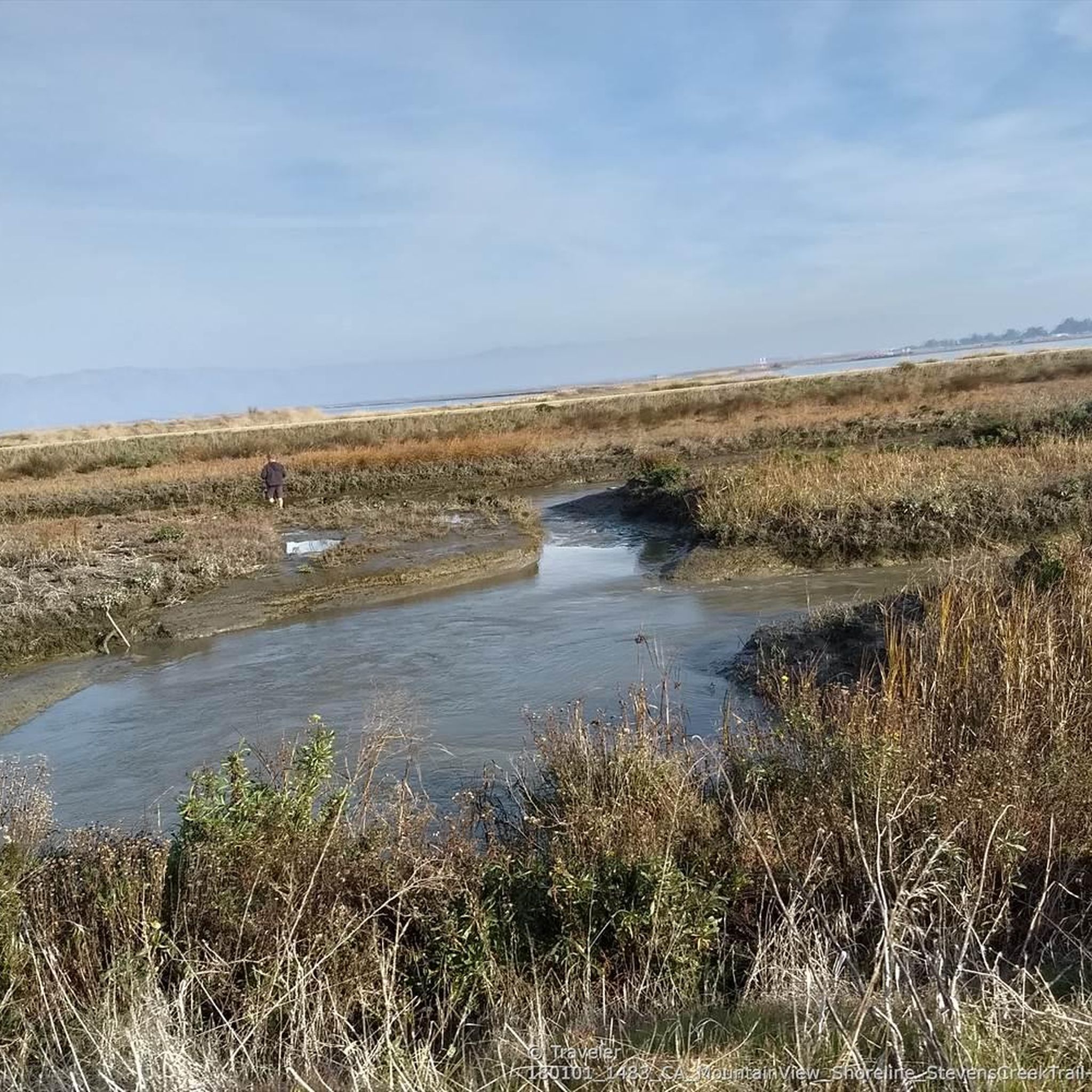
Gravel biking in Stevens Creek Shoreline Nature Study Area Open Space Preserve offers a network of mostly flat paths along the San Francisco Bay. The region is characterized by extensive tidal flats, salt ponds, and marshes, providing open bayfront landscapes. Stevens Creek flanks the levee trails, adding to the varied natural scenery. These accessible trails are suitable for gravel biking, offering smooth riding surfaces and views of the bay.
Best gravel bike trails in Stevens Creek Shoreline Nature Study Area Open Space Preserve
- The most popular gravel bike trail is Moffett Boulevard Bike Bridge – Stevens Creek bridge loop from Whisman, a 18.7 miles (30.1 km) trail that takes 2 hours 5 minutes to complete. This route offers views of the bay and connects to the wider trail network.
- Another top favourite among local gravel bikers is San Francisco Bay Trail – Shoreline Lake loop from San Antonio, a moderate 19.7 miles (31.7 km) path. This trail leads through flat bayfront areas.
- Local gravel bikers also love the San Francisco Bay Trail – San Francisco Bay Trail loop from Whisman, a 31.7 miles (51.1 km) trail leading through bayfront areas, often completed in about 2 hours 42 minutes.
- Gravel biking in Stevens Creek Shoreline Nature Study Area Open Space Preserve is defined by flat bayfront paths, tidal flats, and marshland. The network offers options for various ability levels, from moderate to difficult routes.
- The routes in Stevens Creek Shoreline Nature Study Area Open Space Preserve are highly rated by the komoot community with an average score of 4.8 stars from over 12 reviews. More than 180 gravel bikers have used komoot to explore Stevens Creek Shoreline Nature Study Area Open Space Preserve's varied terrain.
Last updated: June 29, 2026
4.3
(3)
12
riders
Moderate gravel ride. Good fitness required. Mostly paved surfaces. Suitable for all skill levels.
5.0
(1)
10
riders
56.4km
03:46
920m
920m
Hard gravel ride. Very good fitness required. Mostly paved surfaces. Suitable for all skill levels.

Sign up for free
5.0
(3)
21
riders
Easy gravel ride. Great for any fitness level. Mostly paved surfaces. Suitable for all skill levels.
5.0
(2)
23
riders
Moderate gravel ride. Good fitness required. Mostly paved surfaces. Suitable for all skill levels.
15
riders
83.8km
04:28
180m
180m
Moderate gravel ride. Good fitness required. Mostly paved surfaces. Suitable for all skill levels.
Get access to more routes and recommendations from other explorers.
Sign up for free
Already have an account?
Our route recommendations are based on thousands of hikes, rides, and runs completed by other people on komoot.
Start today with a free account
Your next adventure awaits.
Login or Signup
Popular around Stevens Creek Shoreline Nature Study Area Open Space Preserve
Running Trails in Stevens Creek Shoreline Nature Study Area Open Space Preserve
Road Cycling Routes in Stevens Creek Shoreline Nature Study Area Open Space Preserve
Hiking in Stevens Creek Shoreline Nature Study Area Open Space Preserve
Cycling in Stevens Creek Shoreline Nature Study Area Open Space Preserve
MTB Trails in Stevens Creek Shoreline Nature Study Area Open Space Preserve
Tips from the Community


This scenic linear park, separating Los Altos from Los Altos Hills, offers a smooth, uninterrupted route ideal for a relaxing bike ride. Cyclists can enjoy its shaded paths, spot public art installations along the way, and pause at the gazebo or open grass field for a break with a view.
0
0

Stevens Creek Reservoir spans 87 acres and is surrounded by a 1,063-acre park. Visitors can enjoy hiking, horseback riding, picnicking, and limited fishing. Seasonal boating for low-power boats is available from mid-April to mid-October. The park is open daily from 8 a.m. to sunset, with vehicle entry fees collected year-round at the Chestnut Parking Lot. Visitors can explore natural beauty and historic remnants like the Villa Maria orchard.
1
0
The San Francisco Bay Trail is a flat, paved trail that runs along the border of the bay. It is a great place for a run because it is traffic free and has great views.
0
0

Page Mill Road is a classic route for cyclists looking for a challenge, with its steep climbs, sharp switchbacks, and stunning views of Silicon Valley. Starting near Palo Alto and climbing into the Santa Cruz Mountains, the ride tests your legs but rewards you with breathtaking scenery. Be prepared for varying gradients, especially in the lower sections, and pack plenty of water—the climb can be intense, especially on warmer days.
0
0

This spot is a fantastic place to view the many American White Pelicans and other birds on the island of Adobe Creek. A lovely bench is here, ideal for taking a quiet break and capturing some beautiful photos.
0
0
Frequently Asked Questions
How many gravel bike trails are available in the Stevens Creek Shoreline Nature Study Area?
The Stevens Creek Shoreline Nature Study Area Open Space Preserve offers a network of 28 gravel bike trails. These routes cater to various skill levels, with 4 easy, 16 moderate, and 8 difficult options.
What kind of terrain can I expect on the gravel bike trails?
You can expect mostly flat, accessible gravel paths along the San Francisco Bay shoreline. The region is characterized by extensive tidal flats, salt ponds, and marshes, offering unique bayfront landscapes and constant breezes. Stevens Creek also flanks some of the levee trails, adding varied natural scenery.
Are there any notable natural features or viewpoints along the trails?
Yes, the trails offer scenic views of the San Francisco Bay, Moffett Field, and on clear days, even Mount Hamilton and the East Bay. The preserve is also a significant location for birdwatching, lying along the Pacific Flyway, making it a 'birder's paradise' with opportunities to spot a wide variety of waterfowl and shorebirds.
Are there family-friendly gravel biking options in the preserve?
Yes, many of the trails are considered easy access and are generally level, making them suitable for families looking for a leisurely outdoor experience. The flat, smooth gravel surfaces are ideal for a relaxed ride with children.
Are the gravel bike trails suitable for beginners?
Absolutely. The preserve features several easy gravel bike routes, characterized by their flat terrain and accessible paths. These are perfect for beginners or those looking for a less strenuous ride.
Can I bring my dog on the gravel bike trails?
While the region is great for outdoor activities, specific regulations regarding dogs on trails can vary. It's always best to check local signage or the official park website for the most current rules on dog access to ensure a pleasant experience for everyone.
Are there any circular gravel bike routes in the area?
Yes, there are several excellent loop options. For example, the San Francisco Bay Trail – Shoreline Lake loop from San Antonio is a popular 19.7-mile route that takes you through bayfront areas. Another option is the Moffett Boulevard Bike Bridge – Stevens Creek bridge loop from Whisman, a moderate 18.7-mile path offering bay views.
What is the best time of year to go gravel biking in Stevens Creek Shoreline Nature Study Area?
The preserve offers pleasant riding conditions year-round, but spring and fall often provide the most comfortable temperatures. The bayfront location means constant breezes, which can be refreshing on warmer days. Birdwatching is particularly rewarding during migration seasons.
What do other gravel bikers enjoy most about the trails here?
The area is highly rated by the komoot community, with an average score of 4.5 stars from over 13 reviews. Riders frequently praise the unique bayfront landscapes, the smooth gravel surfaces, and the extensive network of flat paths that connect to the wider San Francisco Bay Trail.
Are there any longer gravel biking routes that connect to other areas?
Yes, the preserve offers excellent connectivity to the broader San Francisco Bay Trail, allowing for longer rides. The San Francisco Bay Trail – San Francisco Bay Trail loop from Whisman is a moderate 31.7-mile route that showcases this connectivity. Another challenging option is the Stevens Creek Reservoir – Altamont Road Vineyard loop from Downtown Mountain View, which is 32 miles long and features significant elevation gain.
Where can I find parking for gravel biking in the Stevens Creek Shoreline Nature Study Area?
The preserve is known for its easy access. There are various parking areas available, often near trailheads or adjacent to Shoreline Park. Specific parking details can usually be found on local park websites or by checking the starting points of individual routes on komoot.
Are there any places to explore near the gravel bike trails?
Adjacent to the preserve is Mountain View's Shoreline Park, which offers additional amenities and attractions. This includes Shoreline Lake, where you can rent boats, an 18-hole golf course, and the historic Rengstorff House, providing options for activities beyond biking.
Most popular routes in Stevens Creek Shoreline Nature Study Area Open Space Preserve

Get inspired with the komoot mobile app


Explore more
Browse the best Gravel rides in other regions.
