Stevens Creek Shoreline Nature Study Area Open Space Preserve
Stevens Creek Shoreline Nature Study Area Open Space Preserve
The best road cycling routes in Stevens Creek Shoreline Nature Study Area Open Space Preserve
4.6
(425)
12,113
riders
167
rides
Road cycling routes in Stevens Creek Shoreline Nature Study Area Open Space Preserve feature largely flat and accessible terrain, suitable for various skill levels. The area is characterized by expansive tidal flats, salt ponds, and marshes, providing a distinct bayfront landscape. Many routes are well-maintained and integrate with broader recreational networks like the San Francisco Bay Trail and Stevens Creek Trail, offering car-free or limited-vehicle environments. This preserve connects to adjacent Shoreline Park, extending cycling opportunities along the bay.
Best…
Last updated: September 1, 2026
5.0
(2)
48
riders
Easy road ride. Great for any fitness level. Mostly well-paved surfaces and easy to ride.
3.7
(26)
331
riders
59.5km
02:38
50m
50m
Cycle the moderate 37.0-mile San Francisco Bay Trail, gaining 166 feet of elevation with diverse Bay views and iconic bridges.

Sign up for free
4.7
(13)
581
riders
49.5km
02:12
440m
440m
Moderate road ride. Good fitness required. Mostly well-paved surfaces and easy to ride.
4.8
(5)
239
riders
62.0km
03:08
990m
990m
Hard road ride. Very good fitness required. Mostly well-paved surfaces and easy to ride.
5.0
(6)
151
riders
47.5km
02:40
850m
850m
Moderate road ride. Good fitness required. Some segments of this route may be unpaved and difficult to ride.
Get access to more routes and recommendations from other explorers.
Sign up for free
Already have an account?
Our route recommendations are based on thousands of hikes, rides, and runs completed by other people on komoot.
Start today with a free account
Your next adventure awaits.
Login or Signup
Popular around Stevens Creek Shoreline Nature Study Area Open Space Preserve
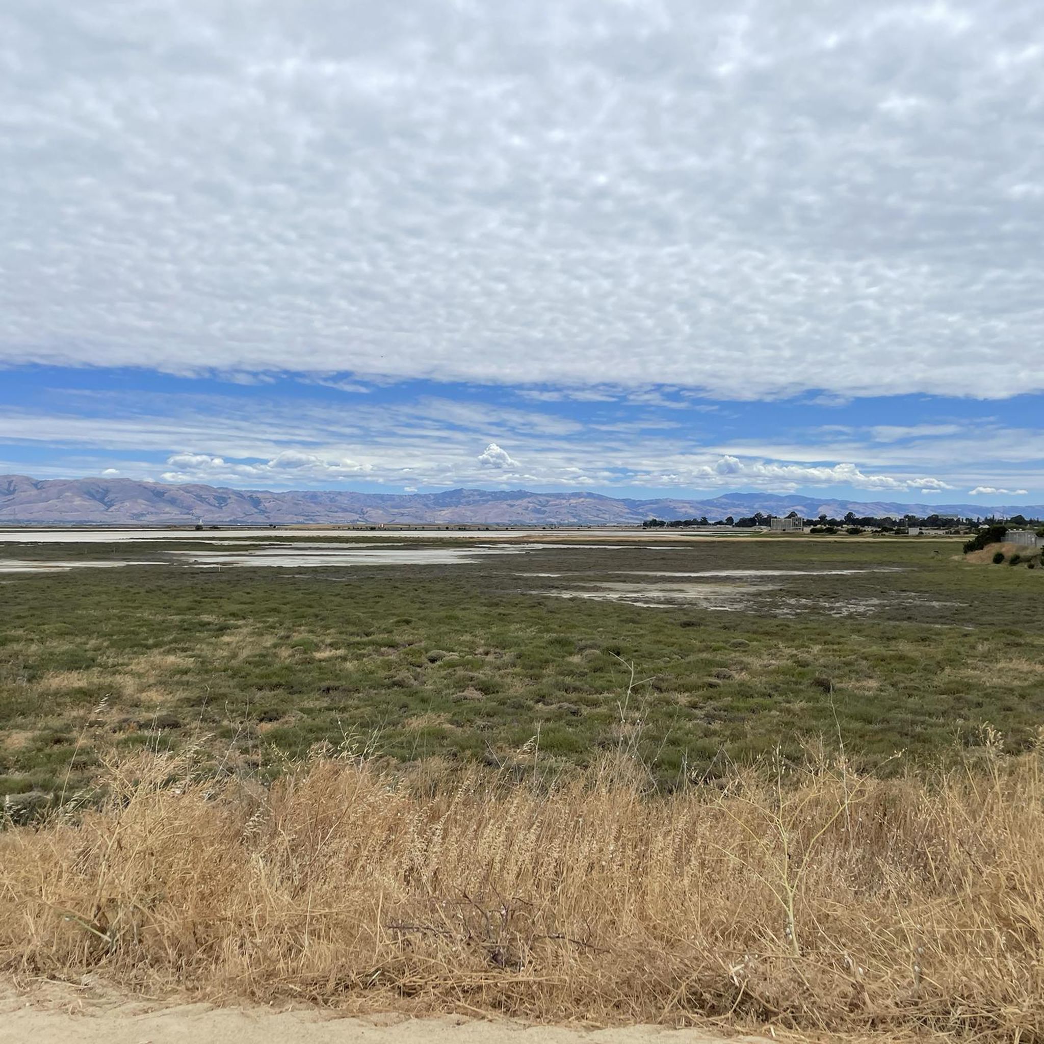
Running Trails in Stevens Creek Shoreline Nature Study Area Open Space Preserve
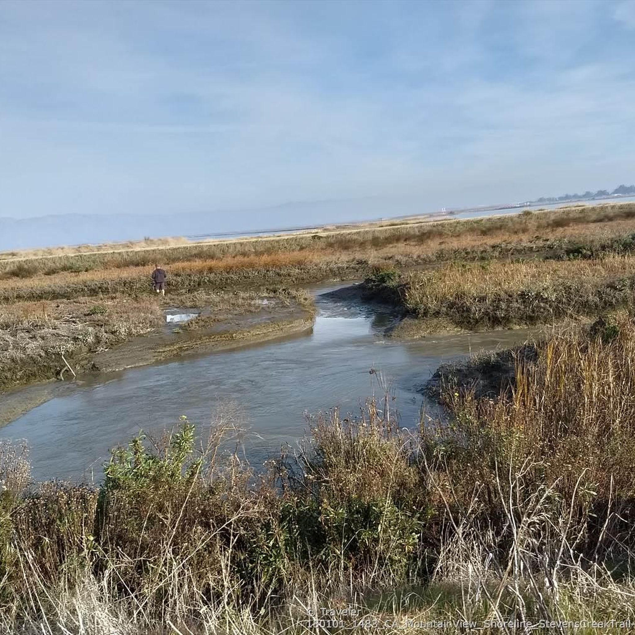
Hiking in Stevens Creek Shoreline Nature Study Area Open Space Preserve
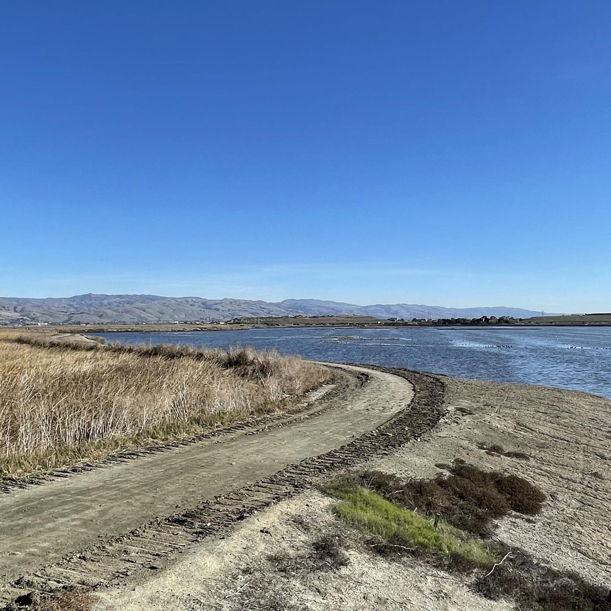
Cycling in Stevens Creek Shoreline Nature Study Area Open Space Preserve
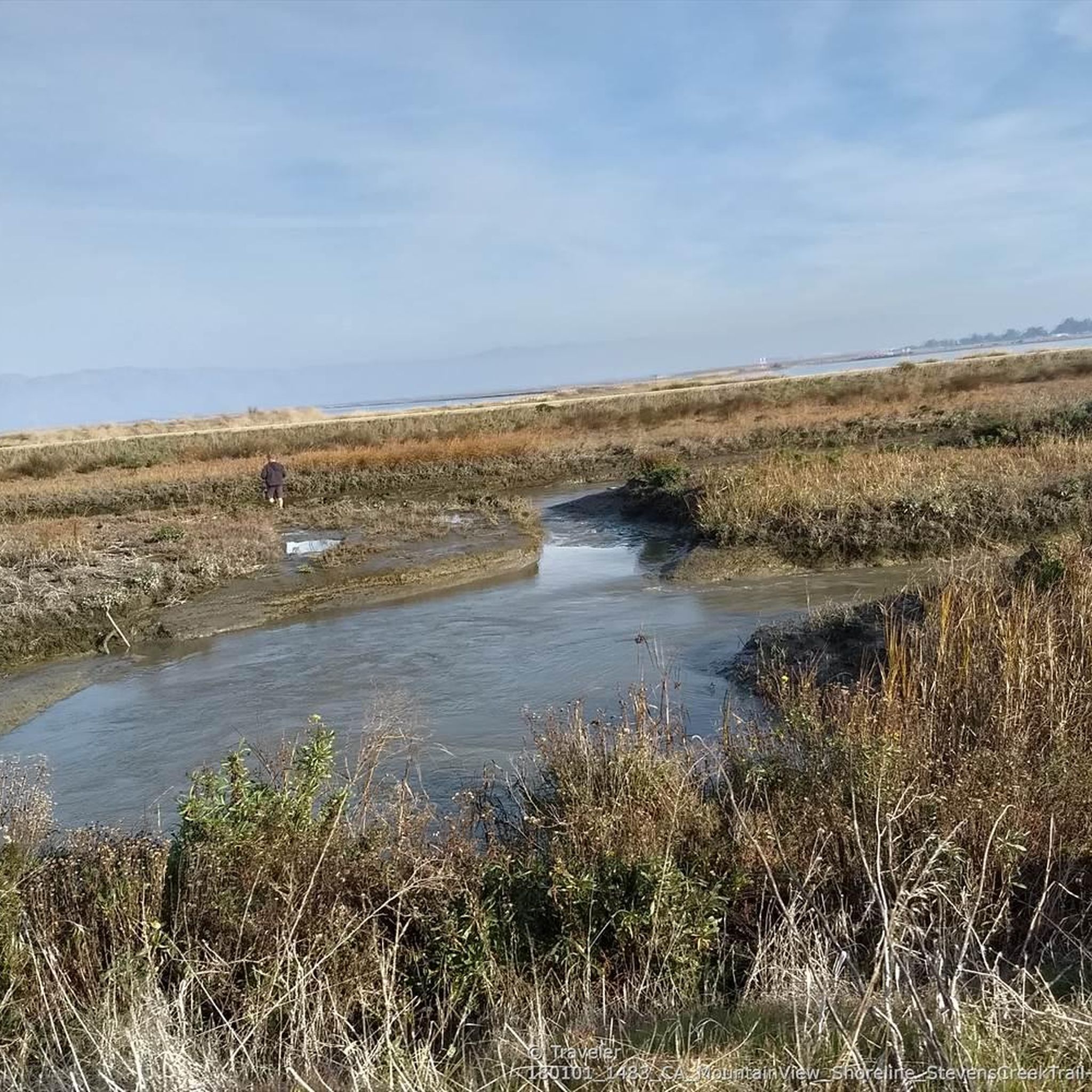
MTB Trails in Stevens Creek Shoreline Nature Study Area Open Space Preserve
Gravel biking in Stevens Creek Shoreline Nature Study Area Open Space Preserve
Tips from the Community


Page Mill Road is a classic route for cyclists looking for a challenge, with its steep climbs, sharp switchbacks, and stunning views of Silicon Valley. Starting near Palo Alto and climbing into the Santa Cruz Mountains, the ride tests your legs but rewards you with breathtaking scenery. Be prepared for varying gradients, especially in the lower sections, and pack plenty of water—the climb can be intense, especially on warmer days.
0
0
Winding through a quiet residential area with minimal traffic, Altamont Road is perfect for a laid-back ride or linking up with tougher routes nearby. The gentle climbs make it super relaxing, and the hill views are awesome—especially around sunrise or sunset. It’s bike-friendly, but watch out for the occasional car on the narrower sections.
0
0

The Dumbarton Bridge is the shortest and southernmost bridge across the San Francisco Bay. At 1.6 miles you can cross the water with nice views over the bay. Just keep an eye out for potholes, especially on the east side, as the road conditions aren't the best. That being said there was ongoing road works the last time I was in the area so hopefully things are improving.
0
0

This fantastic tavern, founded in 1852, is the second oldest in the state. It features a large, beer garden-style outdoor area with plenty of shade. An extensive beer and food menu makes it a perfect stop to enjoy a brew and some great food after a ride.
0
0

While this is an expressway, there is good room for safe riding and most of the day it isn't too heavily trafficked which makes for a great, rolling straight run
2
0

On a clear day you can see San Francisco and Oakland cityscapes. You also have views of the peaks, Mt Hamilton, Mt Diablo and if really clear you can see Mt Tam.
0
0
Riding through the Baylands is wonderful especially on a sunny day.
0
0
Frequently Asked Questions
How many road cycling routes are available in Stevens Creek Shoreline Nature Study Area Open Space Preserve?
There are over 170 road cycling routes in the Stevens Creek Shoreline Nature Study Area Open Space Preserve. These include a variety of options, with 82 easy routes, 69 moderate routes, and 26 more challenging routes, catering to different skill levels.
What kind of terrain can I expect on road cycling routes in the preserve?
The preserve's road cycling routes are largely flat and well-maintained, offering a smooth experience. You'll primarily encounter bayfront paths, expansive tidal flats, salt ponds, and marshes. Many sections are car-free or have very limited vehicle interaction, providing a safe environment.
What natural features can I see while cycling in the Stevens Creek Shoreline Nature Study Area?
While cycling, you can enjoy expansive views of tidal flats, salt ponds, and marshes. The area is a significant location for birdwatching, situated along the Pacific Flyway, so you'll frequently spot a wide variety of waterfowl and shorebirds, including black-necked stilts, mallards, and egrets.
Are there any interesting landmarks or attractions near the cycling routes?
Yes, the Stevens Creek Shoreline Nature Study Area is adjacent to Mountain View's Shoreline Park, which offers additional attractions like a lake for boating and windsurfing, a golf course, and the historic Rengstorff House. The preserve also integrates with the San Francisco Bay Trail and the Stevens Creek Trail, offering connections to other local parks.
Are the road cycling routes family-friendly?
Many of the preserve's trails are flat, accessible, and largely car-free, making them suitable for families. The well-maintained surfaces and scenic bayfront views provide an enjoyable experience for cyclists of all ages.
Is there parking available for road cyclists?
Yes, parking is generally available at various access points to the Stevens Creek Shoreline Nature Study Area and adjacent Shoreline Park, providing convenient starting points for your rides.
Can I reach the preserve by public transport?
The Stevens Creek Shoreline Nature Study Area is accessible via public transport options that serve Mountain View and the surrounding areas. It's advisable to check local transit schedules for the most direct routes to the preserve's access points.
What is the best time of year to go road cycling in the preserve?
The preserve is generally pleasant for cycling year-round, but spring and fall offer particularly comfortable temperatures and often clear skies. During these seasons, you can enjoy the natural beauty and birdwatching opportunities without the intense heat of summer or potential winter rains.
Are there any loop routes for road cycling in the area?
Yes, there are several loop routes available. For example, the Baylands Nature Preserve – Emily Renzel Wetlands loop from Computer History Museum is an easy 19.6-mile option offering views of the wetlands. Another popular choice is the Portola Valley – Junipero Serra Boulevard loop from Downtown Mountain View, a moderate 27.5-mile trail.
What do other road cyclists enjoy most about road cycling in Stevens Creek Shoreline Nature Study Area Open Space Preserve?
The area is highly rated by the komoot community, with an average score of 4.7 stars from over 400 reviews. Cyclists often praise the flat, accessible, and car-free trails, the extensive bayfront views, and the abundant birdwatching opportunities along the tidal flats and marshes.
Are there routes suitable for advanced road cyclists?
While many routes are flat, there are options for more advanced cyclists seeking greater distances or some elevation gain. For instance, the Tree Tunnel on Portola Road – Portola Valley loop from Mountain View is a difficult 62.2-mile route with significant elevation changes, offering a challenging ride.
Can I connect to longer cycling networks from the preserve?
Absolutely. The preserve's trails integrate seamlessly with broader recreational networks. You can connect to sections of the San Francisco Bay Trail, which is a planned 500-mile walking and cycling path around the San Francisco Bay, and the Stevens Creek Trail, allowing for extended rides.
Most popular routes in Stevens Creek Shoreline Nature Study Area Open Space Preserve

Get inspired with the komoot mobile app


Explore more
Browse the best Road cycling routes in other regions.
