The best gravel rides in Fort Ord Dunes State Park
5.0
(3)
110
riders
3
rides
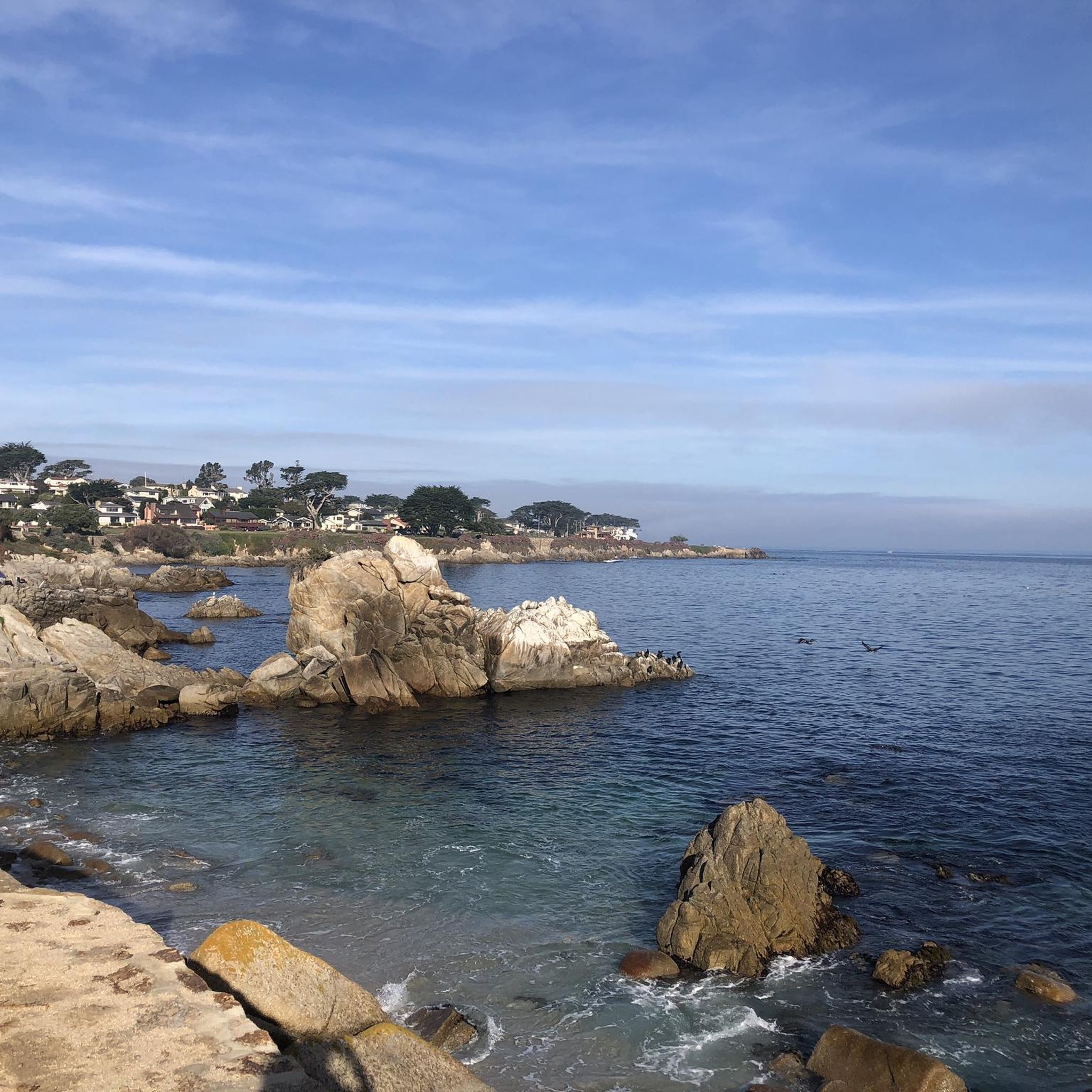
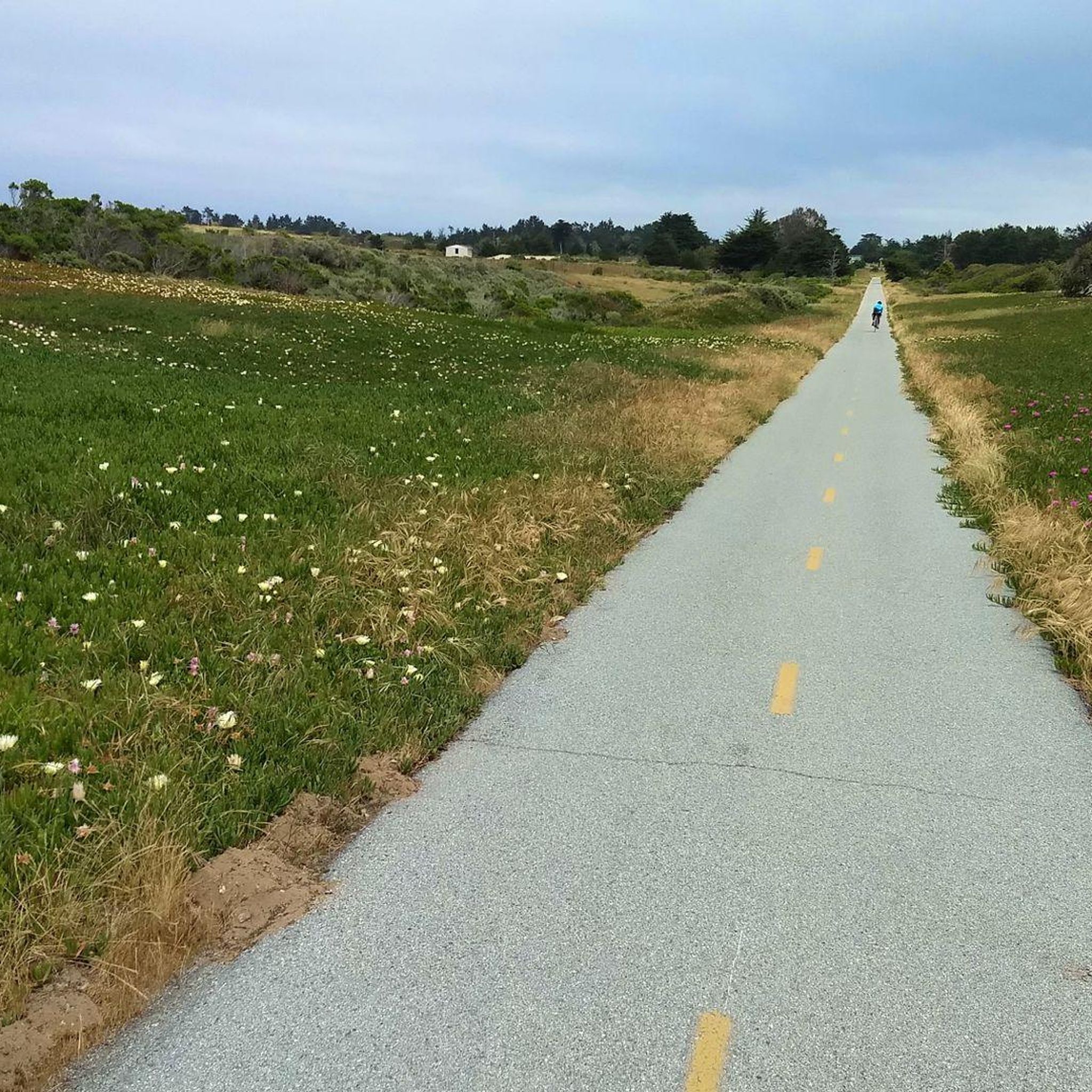
Gravel biking in Fort Ord Dunes State Park offers routes through a diverse landscape of rolling dunes and coastal terrain along Monterey Bay. The park spans nearly 1,000 acres, featuring dynamic dunes and windswept beaches. Riders can expect varied terrain, including designated roads and trails, with views of the Monterey Bay National Marine Sanctuary. Historical remnants, such as old ammo bunkers, add a unique element to the natural surroundings.
Best gravel bike trails in Fort Ord Dunes State Park
- The…
Last updated: June 28, 2026
7
riders
Moderate gravel ride. Good fitness required. Mostly paved surfaces. Suitable for all skill levels.
25
riders
37.0km
03:20
680m
680m
Hard gravel ride. Very good fitness required. Mostly paved surfaces. Suitable for all skill levels.

Sign up for free
7
riders
40.0km
02:54
510m
510m
Hard gravel ride. Very good fitness required. Mostly paved surfaces. Suitable for all skill levels.
5.0
(3)
66
riders
Hard gravel ride. Very good fitness required. Mostly paved surfaces. Suitable for all skill levels.
5
riders
14.3km
01:18
300m
300m
Moderate gravel ride. Good fitness required. Mostly paved surfaces. Suitable for all skill levels.
Our route recommendations are based on thousands of hikes, rides, and runs completed by other people on komoot.
Start today with a free account
Your next adventure awaits.
Login or Signup

Tips from the Community

A quiet back road in Monterey with gentle curves and rolling terrain. It’s a solid alternative to busier routes, with open views and steady riding through ranchland that adds variety to local loops.
0
0
Mudhen Lake is a nice spot to pause and take in the rural scenery. The calm lake views make a pleasant break for stretching, refilling bottles, and enjoying a moment of stillness before rolling on.
0
0

Nice, small lake in Laguna Seca Recreational Area. It is right along Trail 71, so it is a great place for a quick break to enjoy the peaceful setting.
0
0

This is the southern section of Trail 49; the northern section starts on the other side of Lookout Ridge Road. If you ride this trail north to south, it's a mix of challenging, twisty sections with lots of tight turns, and your classic flowing singletrack. Watch out for poison oak!
0
0

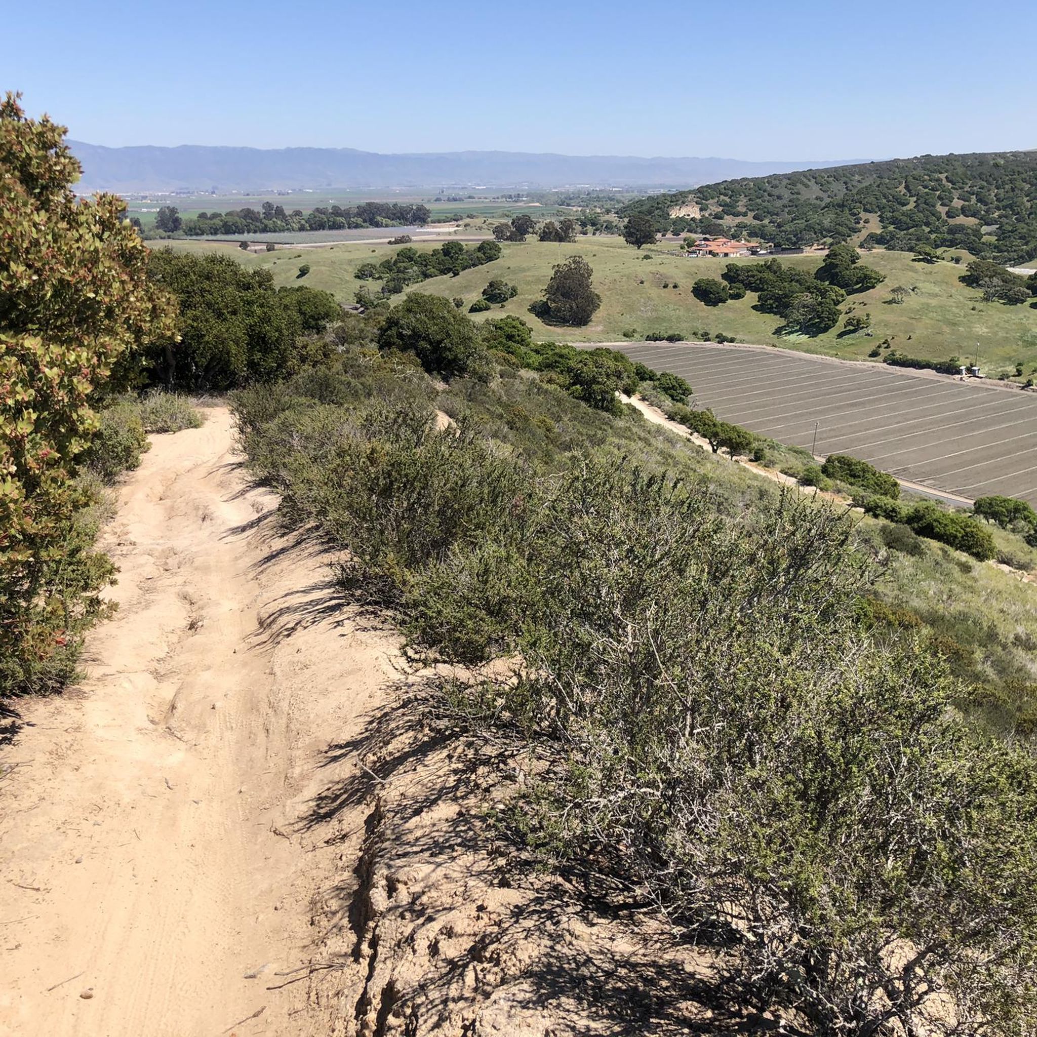
As the hill crests out you get sweeping panoramic views of the massive Fort Ord trail network. From here it is all downhill to Barloy Canyon and Mudhen Lake.
0
0
There is a simple gate that allows cyclists to pass with ease but bars the road from vehicular traffic. From here you can access the sprawling Fort Ord trail system.
0
0


At the top of Elliot Hill, you can see expansive views of the surrounding areas. It is also a junction for Little Moab Road and Trail 95.
0
0
Frequently Asked Questions
What kind of terrain can I expect on gravel bike trails in Fort Ord Dunes State Park?
Gravel biking in Fort Ord Dunes State Park offers a diverse experience across rolling dunes and coastal terrain. You'll find a mix of designated roads and trails, providing varied surfaces and scenic views of the Monterey Bay National Marine Sanctuary.
Are there any family-friendly gravel bike routes in Fort Ord Dunes State Park?
While the park offers a range of routes, including some moderate options, it's important to note that the terrain includes rolling dunes and varied surfaces. For a moderate option, consider the Wolf Hill – Jack's Road loop from WeatherTech Raceway Laguna Seca, which is 8.9 miles (14.3 km) long. Always assess the specific route details and your family's experience level before heading out.
What are the best times of year to go gravel biking in Fort Ord Dunes State Park?
Fort Ord Dunes State Park is generally enjoyable for gravel biking year-round, thanks to the mild coastal climate. However, spring and fall often offer the most pleasant temperatures and fewer crowds. Summer can be popular, and winter might bring occasional rain, but the park remains accessible. Always check local weather forecasts before your ride.
Are there any specific viewpoints or natural features to look out for along the trails?
Yes, the park is rich in natural beauty and unique features. You'll encounter stunning views of the Monterey Bay National Marine Sanctuary, dynamic rolling dunes, and windswept beaches. There's also a boardwalk leading to a bluff-top viewing platform. Keep an eye out for diverse coastal foliage and marine life from the beach. Educational panels throughout the park also detail its natural and cultural history.
What is the difficulty level of gravel biking in Fort Ord Dunes State Park?
The park offers a range of difficulties. You'll find both moderate and difficult routes. For instance, the Gigling Road gate – Fort Ord ⛰️🚵 MTB trailhead loop from California State University Monterey Bay is a moderate 18.1 miles (29.2 km) path, while the Mudhen Lake – Trail 49 loop from East Garrison is a more challenging 37 km route with significant elevation gain.
Can I bring my dog on the gravel bike trails in Fort Ord Dunes State Park?
While the region research indicates the park is popular for various activities, specific regulations regarding dogs on bike trails can vary. It's always best to check the official California State Parks website for the most current rules on pets within Fort Ord Dunes State Park to ensure a compliant and enjoyable visit. You can find more information on the official park page: Fort Ord Dunes State Park.
Are there any loop routes available for gravel biking?
Yes, many of the gravel bike routes in Fort Ord Dunes State Park are designed as loops, allowing you to start and end at the same point. Examples include the moderate Wolf Hill – Jack's Road loop from WeatherTech Raceway Laguna Seca and the more difficult Jack's Road – Fort Ord ⛰️🚵 MTB trailhead loop from WeatherTech Raceway Laguna Seca.
Where can I park when visiting Fort Ord Dunes State Park for gravel biking?
The park offers various access points, and parking is generally available. While specific parking lots aren't detailed in the route descriptions, many routes, such as those starting from WeatherTech Raceway Laguna Seca or California State University Monterey Bay, imply accessible parking near their trailheads. It's advisable to check the official park website or specific trailhead information for detailed parking instructions.
What historical elements can be seen in Fort Ord Dunes State Park?
Fort Ord Dunes State Park has a rich history as a former U.S. Army post. As you explore, you might encounter remnants of the military base, such as old ammo bunkers tucked into the dunes. Educational panels throughout the park provide insights into its past, blending the natural landscape with its historical significance.
Are there any cafes or amenities near the gravel bike trails?
While the park itself focuses on natural and historical exploration, the surrounding areas, particularly Marina and other nearby towns along Monterey Bay, offer various amenities like cafes, pubs, and accommodation. You'll find options a short distance from the park's boundaries to refuel and relax after your ride.
What is the longest gravel bike route in Fort Ord Dunes State Park?
One of the longer and more challenging gravel bike routes is the Jack's Road – Fort Ord ⛰️🚵 MTB trailhead loop from WeatherTech Raceway Laguna Seca, which spans 26.6 miles (42.9 km) and typically takes around 4 hours and 10 minutes to complete, featuring significant elevation gain.
What should I pack for a gravel biking trip in Fort Ord Dunes State Park?
Given the coastal environment, it's wise to pack layers as temperatures can change. Essential items include water, snacks, sun protection (sunscreen, hat, sunglasses), a bike repair kit, and a helmet. Depending on the season, a light windbreaker or rain jacket could also be beneficial. Always stay on designated paths to protect sensitive habitats.
How many gravel bike trails are available in Fort Ord Dunes State Park?
There are several gravel bike trails available in Fort Ord Dunes State Park, offering a variety of experiences. Our guide highlights 4 distinct routes, ranging from moderate to difficult, allowing riders to choose based on their skill and desired challenge.
Most popular routes in Fort Ord Dunes State Park

Get inspired with the komoot mobile app


Explore more
Browse the best Gravel rides in other regions.
