The best gravel rides in Mission Trails Regional Park
3.3
(3)
38
riders
7
rides
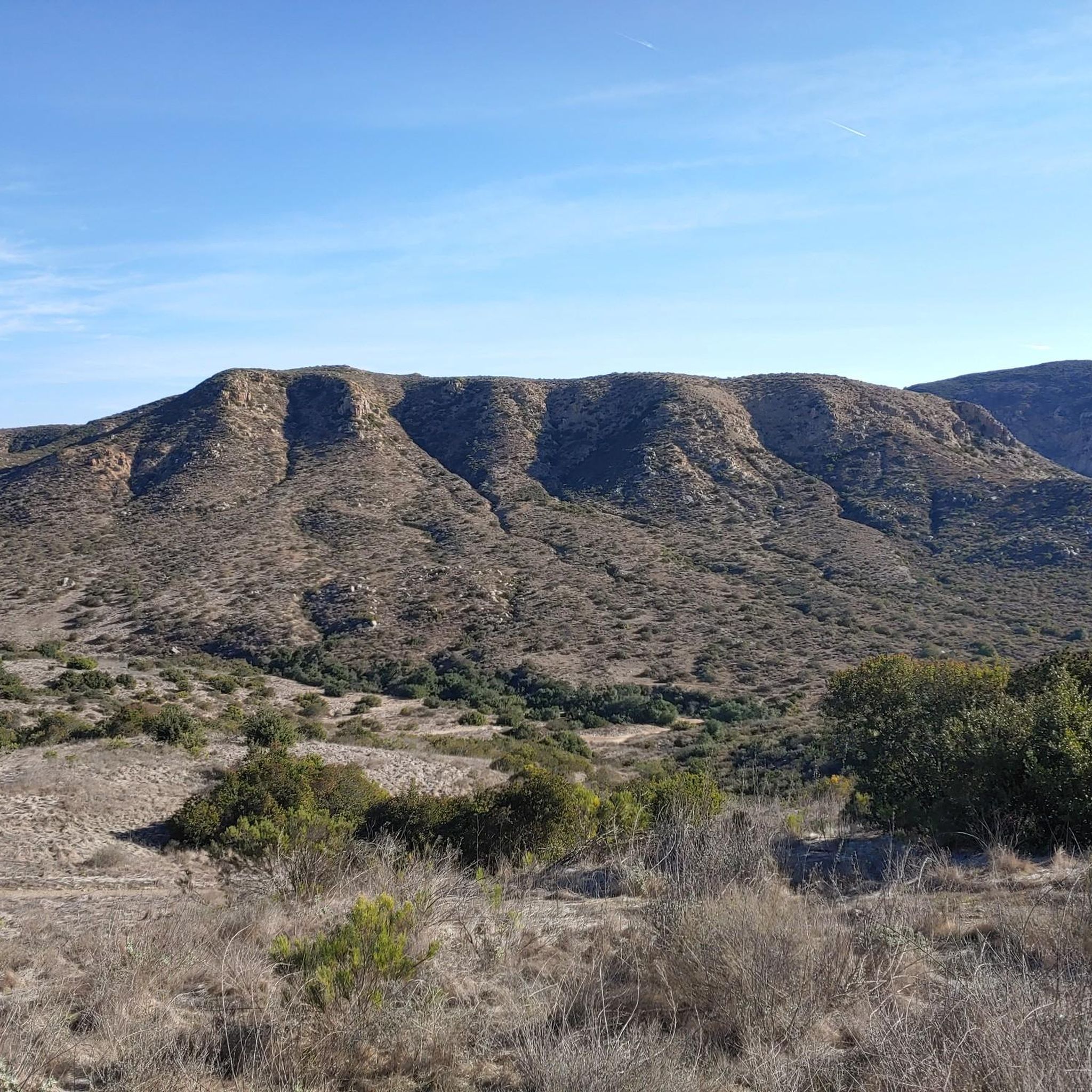
Gravel biking in Mission Trails Regional Park offers an extensive network of trails across more than 7,000 acres of diverse terrain. The park features rugged canyons, hills, and the San Diego River, providing varied landscapes for riders. Many routes consist of doubletrack and fire roads, suitable for gravel bikes, with both paved and unpaved sections. The western side of the park generally presents more challenging routes, while the eastern side offers easier options.
Best gravel bike trails in Mission Trails Regional Park
- The most popular gravel bike trail is Old Mission Dam – San Diego River Crossing loop from East Fortuna Staging Area, a 10.6 miles (17.1 km) trail that takes 1 hour 53 minutes to complete. This moderate route is suitable for various fitness levels and features mostly paved surfaces.
- Another top favourite among local gravel bikers is Sycamore Canyon Trailhead – Sycamore Canyon Road loop from Poway, a difficult 19.4 miles (31.2 km) path. This challenging ride requires good fitness and navigates through varied terrain in Sycamore Canyon.
- Local gravel bikers also love the Sycamore Canyon Trailhead loop from Poway, a 14.7 miles (23.6 km) trail leading through the diverse landscapes of Sycamore Canyon, often completed in about 2 hours 7 minutes.
- Gravel biking in Mission Trails Regional Park is defined by rugged canyons, hills, and the San Diego River, offering a mix of doubletrack and fire roads. The network provides options for different ability levels, from moderate loops to more challenging climbs.
- The routes in Mission Trails Regional Park are highly rated by the komoot community with an average score of 2.7 stars from over 3 reviews. More than 30 gravel bikers have used komoot to explore Mission Trails Regional Park's varied terrain.
Last updated: October 1, 2026
2
riders
Moderate gravel ride. Good fitness required. Mostly paved surfaces. Suitable for all skill levels.
1.0
(1)
2
riders
41.6km
02:52
410m
410m
Moderate gravel ride. Good fitness required. Mostly paved surfaces. Suitable for all skill levels.

2
riders
81.0km
05:49
700m
700m
The Chula Vista loop offers a dynamic gravel biking experience, weaving through a tapestry of landscapes from coastal wetlands to rolling hills. You'll encounter everything from singletrack and chunky gravel to paved sections, passing under the massive 125 bridge and alongside the Otay River. The scenery is remarkably diverse, contrasting urban areas with natural parks and offering views of San Diego Bay and even Mexico from higher elevations near Otay Lakes.
Planning your ride on this difficult 50.3-mile (81.0 km) route, which involves 2307 feet (703 metres) of elevation gain and takes about 5 hours and 49 minutes, requires some preparation. Since it's not a single defined path, starting points can vary, but areas around Sweetwater Park Trail or Otay Valley Regional Park are good options. Always check local trail conditions, especially regarding the varied terrain, and consider riding during cooler parts of the day or year.
What makes Chula Vista gravel biking routes stand out is their exceptional diversity in both terrain and scenery, providing a comprehensive look at the region's hidden sides. The extensive network allows for exploration and offers options for various skill levels, from moderate paths to challenging mountain ascents. The City of Chula Vista is actively working to formalize and manage these trails, enhancing the overall experience with improved signage and infrastructure.
4.0
(1)
2
riders
72.4km
05:07
970m
970m
Hard gravel ride. Very good fitness required. Mostly paved surfaces. Suitable for all skill levels.
7
riders
38.4km
02:56
640m
650m
Hard gravel ride. Very good fitness required. Mostly paved surfaces. Suitable for all skill levels.
Get access to more routes and recommendations from other explorers.
Already have an account?
Our route recommendations are based on thousands of hikes, rides, and runs completed by other people on komoot.
Start today with a free account
Your next adventure awaits.
Tips from the Community

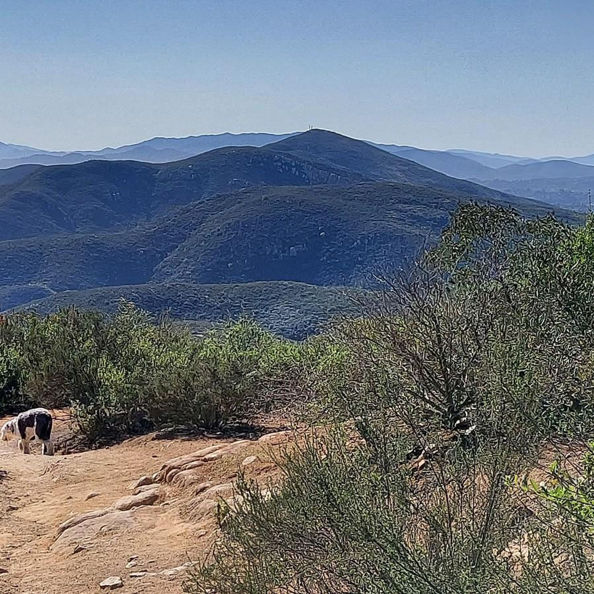
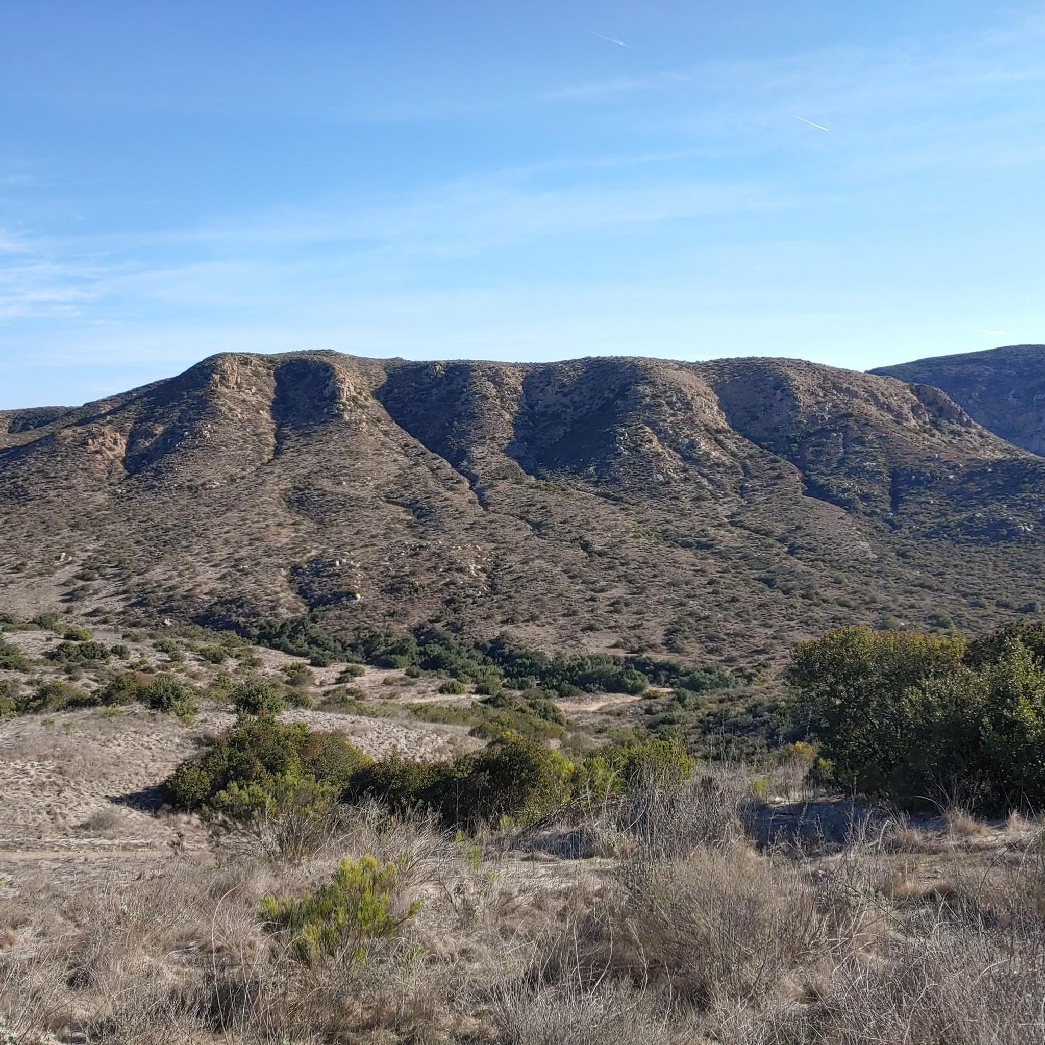
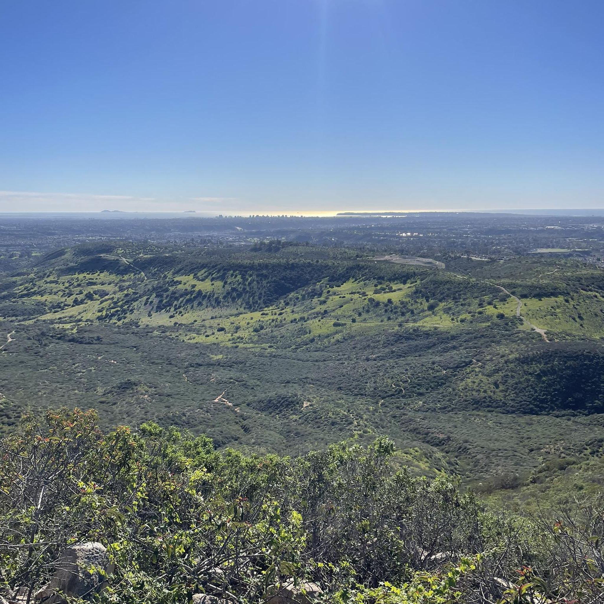
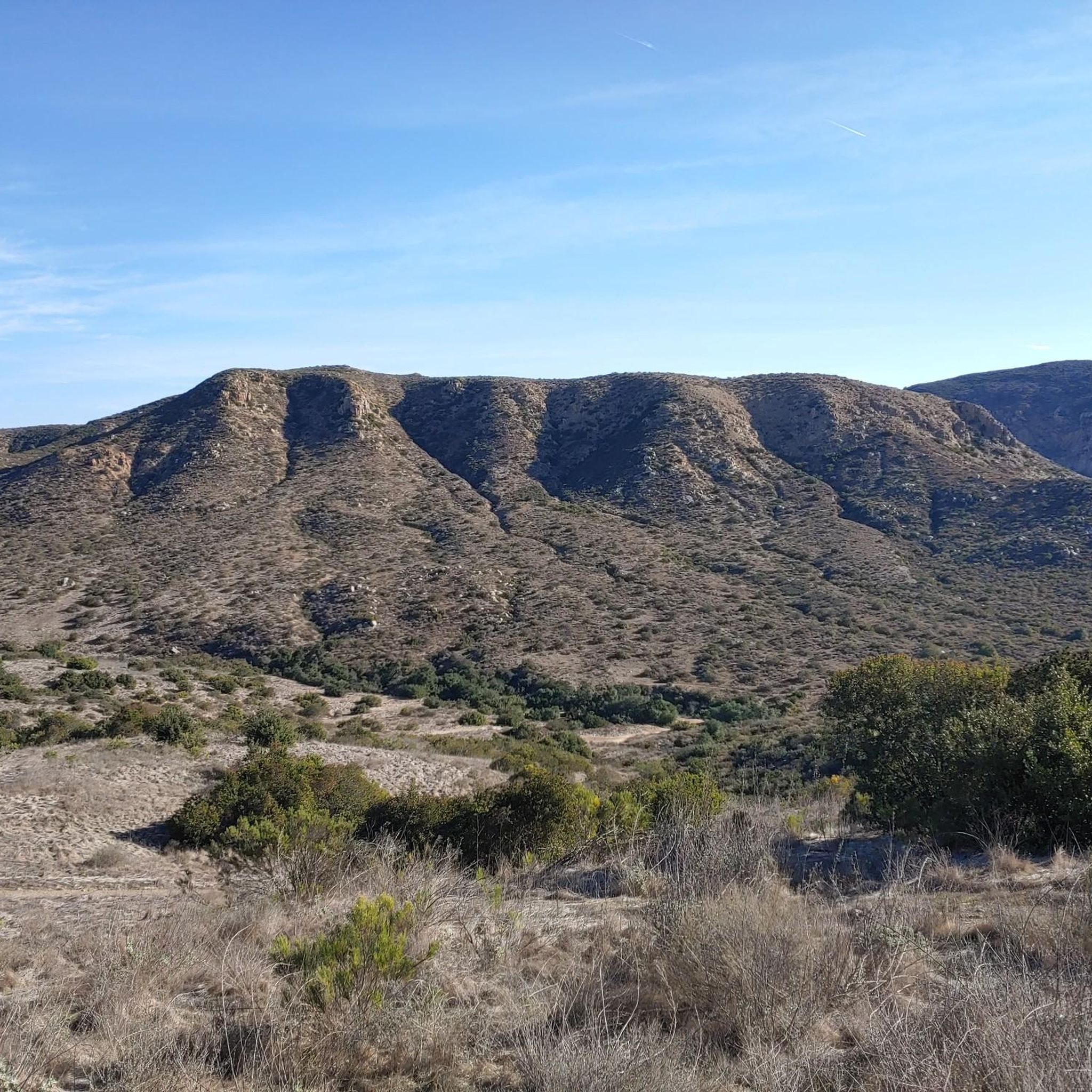
Photos taken from the Mission Trails 50k course.
0
0

The paths around Sweetwater Reservoir are primarily well-worn dirt, with most junctions clearly signed, though some of the less frequented routes can become overgrown. As you near San Miguel Mountain, the terrain becomes increasingly rugged and challenging, while open views of the reservoir and surrounding hills remain a constant backdrop.
1
0

Alternate route E-slaughtcar off Druidia. Very technical. Huge gouges from water runoff, large loose stones, steep decents, tight brush.
0
0

Shepherd Pond is a lovely spot to have a rest during your ride in Mission Trails Regional Park.
0
0
Within Sweetwater Regional Park, Sweetwater Park Trail winds throughout peaceful surroundings of native flora. Keep in mind that it can get quite muddy If you're visiting after a rain.
0
0
Along the Visitor's Center Loop Trail at Mission Trails Regional Park, you'll come across beautiful views and an exciting journey for mountain bikers. Be sure to wear waterproof shoes as creek crossings can get you slightly wet!
0
0
The Otay River is one of the main attractions in the Otay Valley Regional Park. The river is home to several types of waterfowl and other wildlife, so if you have some time on your ride, it is a great place to take a break and see what you can spot.
0
0
Frequently Asked Questions
How many gravel bike trails are available in Mission Trails Regional Park?
Mission Trails Regional Park offers a network of over 60 miles of trails, with 10 dedicated gravel bike routes available on komoot. These routes vary in length and difficulty, providing options for different skill levels.
What kind of terrain can I expect on the gravel bike trails in Mission Trails Regional Park?
The park's gravel trails primarily consist of doubletrack and fire roads, with a mix of both paved and unpaved sections. You'll encounter rugged canyons and hills, offering diverse landscapes and varying elevations. The western side of the park tends to have more challenging routes, while the eastern side offers easier options.
Are there any family-friendly gravel biking options in Mission Trails Regional Park?
Yes, the park offers routes suitable for various fitness levels. While there are challenging climbs, you can find easier options, particularly on the eastern side of the park. For a moderate ride that's suitable for many, consider the Old Mission Dam – San Diego River Crossing loop from East Fortuna Staging Area, which features mostly paved surfaces.
What are some notable landmarks or natural features to look out for along the trails?
Mission Trails Regional Park is rich in natural beauty and historical sites. You can explore the historic Old Mission Dam, see the San Diego River Crossing, or enjoy panoramic views from Cowles Mountain. The park also features several prominent peaks like North Fortuna Summit and Kwaay Paay Peak.
Are there any challenging gravel bike routes for experienced riders?
Absolutely. The park's western side is known for more demanding routes. For a significant challenge, the Sycamore Canyon Trailhead – Sycamore Canyon Road loop from Poway is a difficult 31.2 km ride requiring good fitness, navigating varied terrain in Sycamore Canyon. Another difficult option is the extensive Chula Vista loop — San Diego.
Can I find circular gravel bike routes in Mission Trails Regional Park?
Yes, many of the gravel bike trails in Mission Trails Regional Park are designed as loops, allowing you to start and end at the same point. Examples include the Sycamore Canyon Trailhead loop from Poway and the Sweetwater River Crossing – Tiki Hut loop from Spring Street.
What is the best time of year to go gravel biking in Mission Trails Regional Park?
San Diego generally enjoys mild weather year-round, making Mission Trails Regional Park suitable for gravel biking in most seasons. However, spring and fall offer particularly pleasant temperatures. Summers can be hot, so early morning rides are recommended, and always carry plenty of water. Winters are mild but can bring occasional rain, which might affect trail conditions.
Is Mission Trails Regional Park dog-friendly for gravel biking?
Mission Trails Regional Park is generally dog-friendly, but specific rules apply. Dogs are typically allowed on trails if they are on a leash. It's always best to check the official park regulations for the most current information regarding pets on trails to ensure a pleasant and safe experience for everyone.
Where can I find parking for gravel biking in Mission Trails Regional Park?
The park has several staging areas and trailheads that offer parking. Popular starting points like the East Fortuna Staging Area and Sycamore Canyon Trailhead typically provide parking facilities. It's advisable to check specific trailhead information for parking availability and any potential fees before your visit.
What do other gravel bikers enjoy most about Mission Trails Regional Park?
The komoot community rates the gravel biking experience in Mission Trails Regional Park highly, with an average score of 2.7 stars. Riders often praise the park's diverse terrain, the extensive network of trails that cater to various skill levels, and the quick escape into nature it offers so close to San Diego. The mix of challenging climbs and scenic loops through rugged canyons and along the San Diego River are frequently highlighted.
Are there any visitor facilities or educational centers in the park?
Yes, the Mission Trails Regional Park Visitor and Interpretive Center is a modern hub offering exhibits, a library, a theater, and an art gallery. It provides valuable educational resources and enhances the visitor experience, making it a great stop before or after your ride to learn more about the park's natural and historical significance.
Most popular routes in Mission Trails Regional Park
Most popular attractions in Mission Trails Regional Park

Get inspired with the komoot mobile app


Explore more
Browse the best Gravel rides in other regions.
