The best gravel rides in Reinhardt-Redwood Regional Park
4.5
(17)
139
riders
21
rides
Gravel biking in Reinhardt-Redwood Regional Park offers routes through dense redwood forests, rolling hills, and open ridgelines. The terrain includes a mix of fire roads, paved sections, and singletrack, providing varied surfaces for gravel bikes. Elevations can be significant, with climbs leading to panoramic views of the San Francisco Bay Area. The park's extensive trail network allows for diverse route planning, from shorter loops to longer, more challenging expeditions.
Best gravel bike trails in Reinhardt-Redwood Regional Park
- The most popular gravel bike trail is Butters Canyon – Joaquin Miller Park loop from Fruitvale, a 33.3 miles (53.6 km) trail that takes 3 hours 56 minutes to complete. This route features varied terrain through canyons and parklands, offering a challenging ride with significant elevation gain.
- Another top favourite among local gravel bikers is Lafayette-Moraga Trail – Skyline Boulevard loop from Moraga, a difficult 21.9 miles (35.4 km) path. This route combines a paved rail trail with challenging climbs along Skyline Boulevard, providing expansive views.
- Local gravel bikers also love the Skyline Boulevard – Grizzly Peak Boulevard loop from Fruitvale, a 42.4 miles (68.2 km) trail leading through redwood forests and along scenic ridgelines, often completed in about 4 hours 54 minutes.
- Gravel biking in Reinhardt-Redwood Regional Park is defined by redwood groves, challenging climbs, and panoramic views of the Bay Area. The network offers options for different ability levels, though many routes feature significant elevation changes.
- The routes in Reinhardt-Redwood Regional Park are highly rated by the komoot community with an average score of 4.6 stars from over 15 reviews. More than 100 gravel bikers have used komoot to explore Reinhardt-Redwood Regional Park's varied terrain.
Last updated: July 3, 2026
8
riders
20.2km
01:24
330m
330m
If you're seeking a diverse and scenic gravel biking adventure near Moraga, the East Ridge Trail – Redwood Grove loop offers a fantastic experience. This moderate 12.5-mile (20.2 km) route, with 1094 feet (333 metres) of elevation gain, guides you through varied terrain, from smooth fire roads to sun-dappled redwood groves. You'll encounter picturesque oak woodlands and be treated to panoramic vistas of Mount Diablo and the surrounding hills, making the roughly 1 hour and 24 minutes ride feel truly immersive.
Planning your visit is straightforward, as the East Ridge Trail is known for its resilience, even after rain, making it a good option in various seasons. While some sections can be steep, requiring good fitness, the overall loop is manageable for most riders. Be sure to carry water, especially on warmer days, and consider an early start to enjoy the tranquility of the redwood forests and secure parking at the trailhead.
This loop stands out among Moraga gravel biking routes for its unique blend of challenging climbs and rewarding views, particularly the stunning redwood groves. The trail's well-maintained fire roads and diverse landscapes, including hill-top viewpoints with rest benches, offer a memorable outing. It's a highly regarded trail for those who appreciate both a good workout and natural beauty.
12
riders
55.6km
03:57
960m
960m
The Skyline Boulevard – Grizzly Peak Boulevard loop from Orinda is a demanding gravel biking adventure through the East Bay Hills, renowned for its stunning scenery and significant climbs. You'll navigate a mix of paved boulevards and unpaved parkland sections, winding through forested areas with redwood groves and oak woodlands. The route offers continuous visual rewards, from ridge-top views of the San Francisco Bay and Golden Gate Bridge to the distant Mount Diablo, making every challenging ascent worthwhile. It's a true test of endurance with an exceptional scenic payoff. This difficult 34.6 miles (55.6 km) route involves 3165 feet (965 metres) of elevation gain, typically taking around 3 hours and 57 minutes to complete. It's best suited for experienced riders seeking a substantial workout and breathtaking vistas. The route is a favorite among local cyclists, so expect to share the road and trails, especially on weekends. While there are no specific permits needed, planning your visit around potential fog in the mornings can enhance the panoramic views. Consider starting from Orinda BART for convenient public transport access, or find parking in the Orinda area. Always carry ample water, as the sustained climbs can be dehydrating. This loop stands out for its unique blend of urban accessibility and wild, scenic beauty, integrating challenging climbs with iconic Bay Area viewpoints. It's a classic for a reason, offering a comprehensive tour of the East Bay's diverse landscapes and a memorable experience for those ready to tackle its demands. The combination of varied terrain and constant visual interest, from dense forests to open ridges, makes it a highlight for advanced gravel bikers in the region.

Sign up for free
5.0
(1)
27
riders
53.7km
03:59
1,020m
1,020m
The Butters Canyon – Joaquin Miller Park loop from Fruitvale is a demanding gravel biking adventure that takes you deep into the surprisingly wild Oakland Hills. You'll pedal through a mix of paved roads, wide fire roads, and narrow singletrack, navigating lush redwood groves and steep gorges. Expect to be challenged by significant climbs, but your efforts will be rewarded with sweeping panoramic views of the Bay Area and an immersive natural escape.
This difficult 33.4-mile (53.7 km) loop involves a substantial 3331 feet (1015 metres) of elevation gain, typically taking around 3 hours and 59 minutes to complete. It's designed for experienced gravel bikers with strong fitness. Be prepared for varied terrain, including potentially eroded sections and steep climbs that might require dismounting; knobby tires are a good idea for better traction, especially if the ground is not dry.
Joaquin Miller Park is a gem in an urban setting, renowned for its flourishing second-growth redwood forests and diverse ecosystems, including oak woodlands and wet meadows. This route connects you to this rich natural environment, offering a popular and challenging option for local gravel bikers. The park's trail system also provides opportunities to link up with other regional parks like Redwood Regional Park for even longer rides.
13
riders
31.5km
02:15
530m
530m
Hard gravel ride. Very good fitness required. Mostly paved surfaces. Suitable for all skill levels.
3.0
(2)
7
riders
21.0km
01:40
540m
540m
Hard gravel ride. Very good fitness required. Mostly paved surfaces. Suitable for all skill levels.
Get access to more routes and recommendations from other explorers.
Sign up for free
Already have an account?
Our route recommendations are based on thousands of hikes, rides, and runs completed by other people on komoot.
Start today with a free account
Your next adventure awaits.
Login or Signup
Tips from the Community

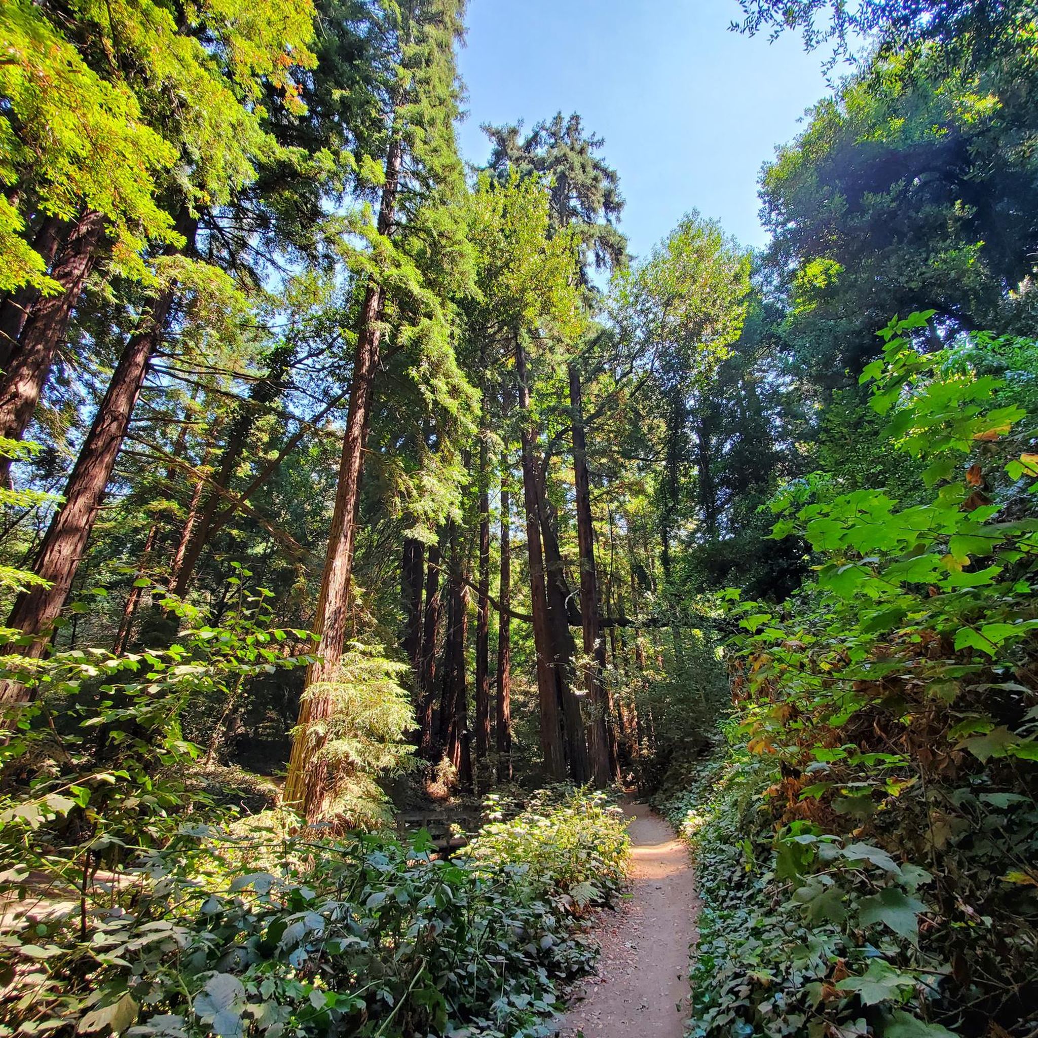
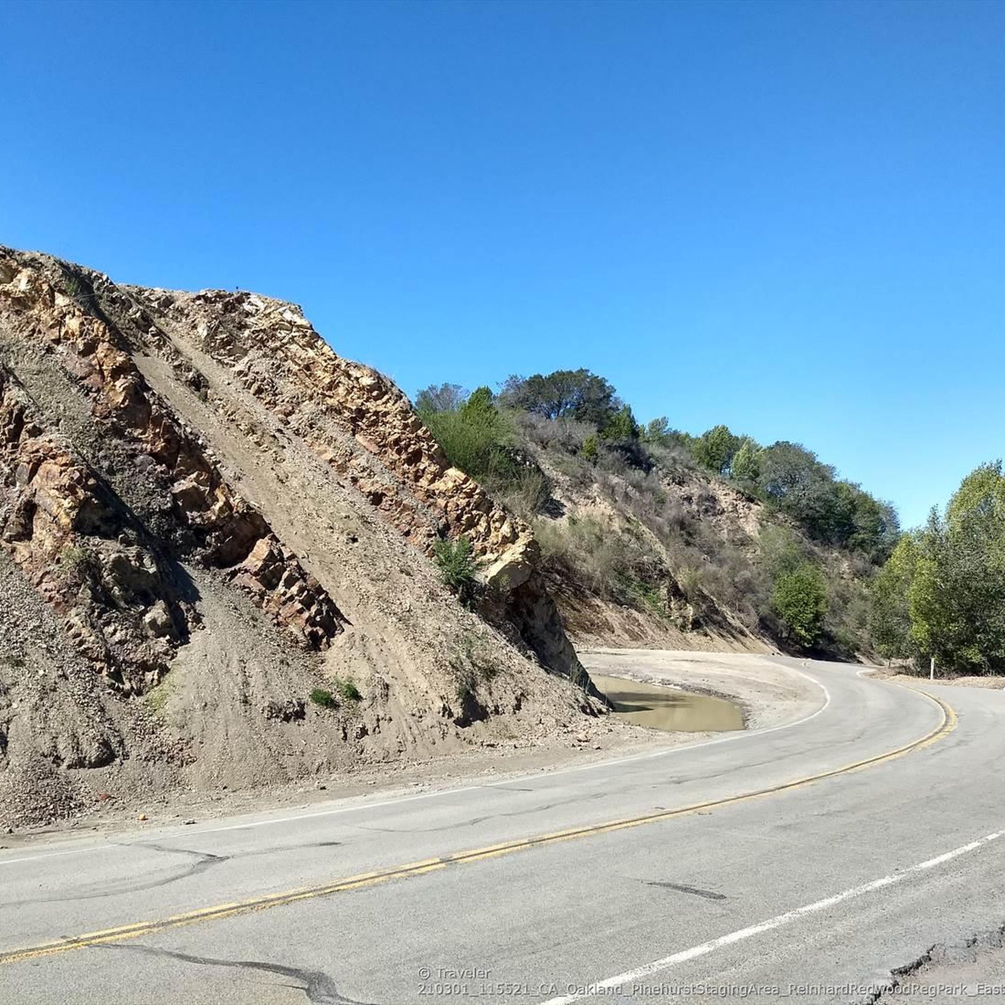
Valle Vista is the trailhead for the paved Lafayette-Moraga Regional Trail, a popular rail-trail for cyclists. There’s a restroom here, but note: the EBMUD dirt trails are hiking-only and require a permit. The bike trail has been officially closed between here and Moraga since a 2019 landslide.
0
0

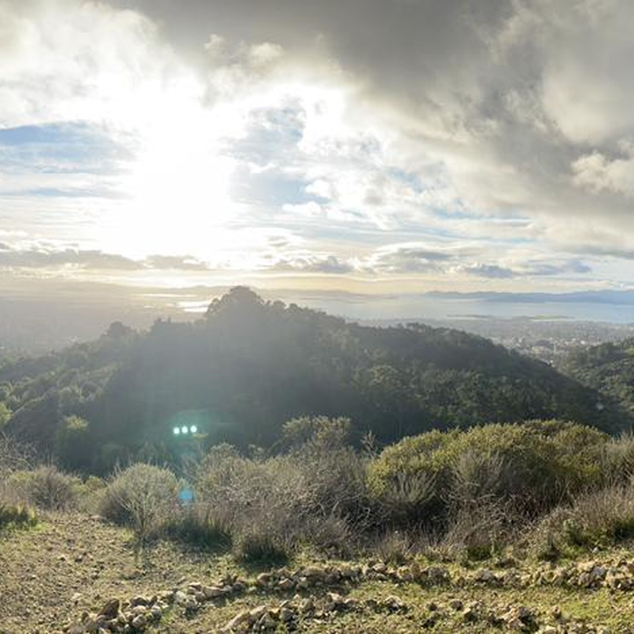
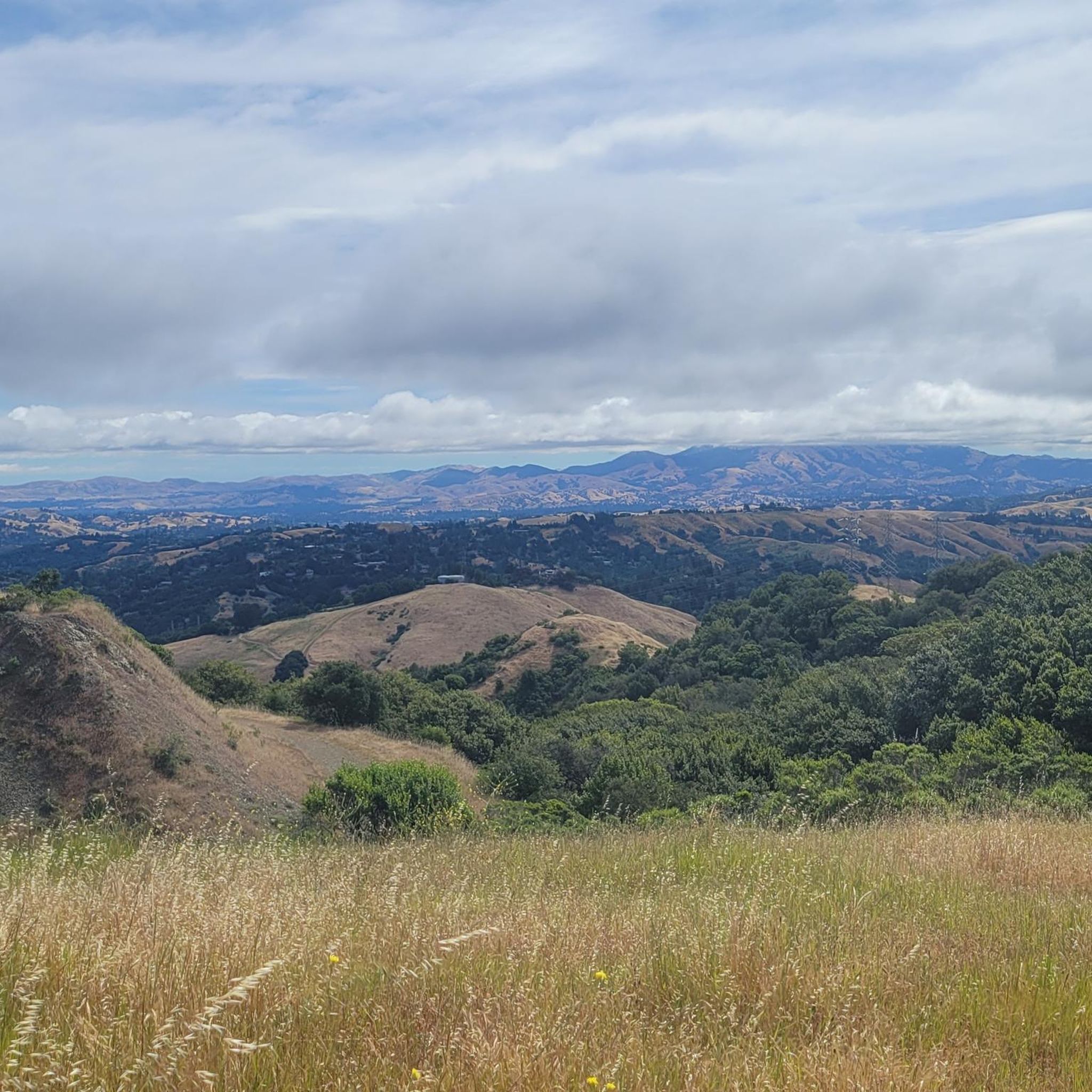
This road parallels the ridgeline above and have great views over the bay and surrounding hills.
0
0

The Sibling Staging Area at Sibley Volcanic Regional Preserve has 38 parking spots, public restrooms, a visitors center, educational signage, and a spot for filling water bottles.
0
0
Wildcat Creek Trail is a packed-dirt trail that is about four miles long. One end of the trail is at Jewel Lake, near the Environmental Education Center, and the other end of the trail is at the Alvarado Staging Area. This trail offers great views of Wildcat Creek and has some picnic tables you could stop at along the side of the trail.
0
0


This trail leads up to 1,634-foot Volcanic Peak. You can also bike to the summit of nearby Round Top, but the access road there is paved, so it's not as suited to a mountain bike.
0
0

Mount Diablo is framed by the canyon on either side of you as you reach the far east side of the overlook. Back at the junction, the wide crushed gravel path rewards you with a bench and view of the hills over Siesta Valley. The Sibley Labyrinth offers a variety of secluded trails that wind down the mountainside and take you through volcanic history.
0
0
Frequently Asked Questions
How many gravel bike trails are available in Reinhardt-Redwood Regional Park?
Reinhardt-Redwood Regional Park offers over 20 gravel bike trails, providing a wide range of options for exploration. The komoot community has used these routes over 100 times, highlighting their popularity.
Are there challenging gravel bike routes in Reinhardt-Redwood Regional Park?
Yes, the park is known for its challenging routes. Most of the gravel bike trails here are rated as difficult, featuring significant elevation changes and varied terrain. For example, the Skyline Boulevard – Grizzly Peak Boulevard loop from Fruitvale is a 42.4-mile ride with substantial climbs.
What are the typical trail conditions for gravel biking in Reinhardt-Redwood Regional Park?
The trails in Reinhardt-Redwood Regional Park offer a mix of surfaces, including fire roads, paved sections, and some singletrack. You can expect varied terrain through dense redwood forests, rolling hills, and open ridgelines. Conditions can change with weather, so it's always good to check local forecasts.
Are there any family-friendly gravel biking options in the park?
While many routes in Reinhardt-Redwood Regional Park feature significant elevation changes and are rated as difficult, some sections or shorter loops might be suitable for families with experienced riders. It's recommended to review the route profiles carefully for elevation and distance before heading out with children.
Where can I find scenic viewpoints along the gravel bike trails?
Many routes in Reinhardt-Redwood Regional Park lead to panoramic views of the San Francisco Bay Area, especially along ridgelines and higher elevations. The Lafayette-Moraga Trail – Skyline Boulevard loop from Moraga, for instance, offers expansive views along Skyline Boulevard.
What should I bring for a gravel biking trip in Reinhardt-Redwood Regional Park?
Given the varied terrain and significant elevations, it's advisable to bring plenty of water, snacks, a repair kit, and appropriate gear for changing weather conditions. Helmets are essential, and layers are recommended due to potential temperature fluctuations between shaded redwood groves and open ridgelines.
Are there any loop trails for gravel biking in Reinhardt-Redwood Regional Park?
Yes, many of the gravel biking routes in the park are designed as loops, allowing you to start and end at the same point. Examples include the popular Butters Canyon – Joaquin Miller Park loop from Fruitvale and the Bay Overlook – Round Top Loop Trail loop from Rockridge.
What do other gravel bikers enjoy most about Reinhardt-Redwood Regional Park?
The komoot community highly rates gravel biking in Reinhardt-Redwood Regional Park, with an average score of 4.6 stars from over 15 reviews. Riders often praise the stunning redwood groves, the challenging climbs that lead to rewarding Bay Area views, and the diverse trail network.
Can I bring my dog on the gravel bike trails in Reinhardt-Redwood Regional Park?
Reinhardt-Redwood Regional Park generally allows dogs on trails, but specific regulations may apply to certain areas or require dogs to be on a leash. It's always best to check the official park rules or signage at trailheads before bringing your dog.
What attractions can I see near the gravel bike trails?
Beyond the trails themselves, you can explore several interesting points. The Chabot Space Science Center is a notable nearby attraction. Within the park, trails like East Ridge Trail, Stream Trail, and Canyon Trail offer beautiful natural scenery.
When is the best time of year for gravel biking in Reinhardt-Redwood Regional Park?
Gravel biking in Reinhardt-Redwood Regional Park is enjoyable year-round, but spring and fall often offer the most pleasant temperatures and lush scenery. Summers can be warm, especially on exposed ridgelines, while winters may bring rain, making some trails muddy. Always check weather conditions before your ride.
Are there cafes or places to eat near the gravel bike trails?
While the park itself is primarily natural, you'll find various cafes and eateries in the nearby communities of Fruitvale, Moraga, and Rockridge, which serve as common starting points for many routes. It's a good idea to plan your refreshment stops before or after your ride.
Most popular routes in Reinhardt-Redwood Regional Park
Most popular attractions in Reinhardt-Redwood Regional Park

Get inspired with the komoot mobile app


Explore more
Browse the best Gravel rides in other regions.
