The best road cycling routes in Reinhardt-Redwood Regional Park
4.6
(330)
10,512
riders
169
rides
Road cycling routes in Reinhardt-Redwood Regional Park traverse a landscape characterized by majestic redwood forests, diverse ecosystems including evergreens and grasslands, and significant elevation changes. The park features a network of paved roads and well-maintained fire roads, offering varied terrain for road cyclists. These routes provide access to scenic views and natural features within the East Bay, with options ranging from gentle climbs to challenging ascents.
Best road cycling routes in Reinhardt-Redwood Regional Park
- The most popular road cycling route is Wildcat Canyon Road – Inspiration Point Overlook loop from Pinehurst Staging Area, a 25.8 miles (41.5 km) trail that takes 2 hours 2 minutes to complete. This moderate route offers varied terrain and scenic overlooks.
- Another top favourite among local road cyclists is Skyline Boulevard – Bay Overlook loop from Lakeshore, an easy 7.5 miles (12.1 km) path. This route provides accessible cycling with views towards the bay.
- Local road cyclists also love the Grizzly Peak Boulevard – Skyline Boulevard loop from Leimert Bridge, a 36.5 miles (58.8 km) trail leading through areas with extensive views, often completed in about 3 hours 18 minutes.
- Road cycling in Reinhardt-Redwood Regional Park is defined by redwood groves, diverse vegetation, and significant elevation changes. The network offers options for different ability levels, from easy rides to difficult climbs.
- The routes in Reinhardt-Redwood Regional Park are highly rated by the komoot community with an average score of 4.6 stars from over 300 reviews. More than 10,000 road cyclists have used komoot to explore Reinhardt-Redwood Regional Park's varied terrain.
Last updated: July 8, 2026
5
riders
Moderate road ride. Good fitness required. Mostly well-paved surfaces and easy to ride.
5.0
(2)
34
riders
32.0km
01:45
580m
580m
Moderate road ride. Good fitness required. Mostly well-paved surfaces and easy to ride.

Sign up for free
14
riders
22.7km
01:19
490m
490m
Moderate road ride. Good fitness required. Some segments of this route may be unpaved and difficult to ride.
4.0
(1)
23
riders
36.4km
01:44
420m
420m
Moderate road ride. Good fitness required. Mostly well-paved surfaces and easy to ride.
3.0
(1)
7
riders
15.1km
00:53
220m
220m
Easy road ride. Great for any fitness level. Mostly well-paved surfaces and easy to ride.
Get access to more routes and recommendations from other explorers.
Sign up for free
Already have an account?
Our route recommendations are based on thousands of hikes, rides, and runs completed by other people on komoot.
Start today with a free account
Your next adventure awaits.
Login or Signup

Tips from the Community

The Orinda BART Station offers bike racks and 24 storage lockers, ideal if you want to secure your bike and take a break in the city. The station sits in the median of Highway 24, with easy access to nearby trails and residential areas. While there’s no dedicated bike station, the ramps lead right to the station, and the setup supports quick transitions between riding and rail.
0
0

Valle Vista is the trailhead for the paved Lafayette-Moraga Regional Trail, a popular rail-trail for cyclists. There’s a restroom here, but note: the EBMUD dirt trails are hiking-only and require a permit. The bike trail has been officially closed between here and Moraga since a 2019 landslide.
0
0

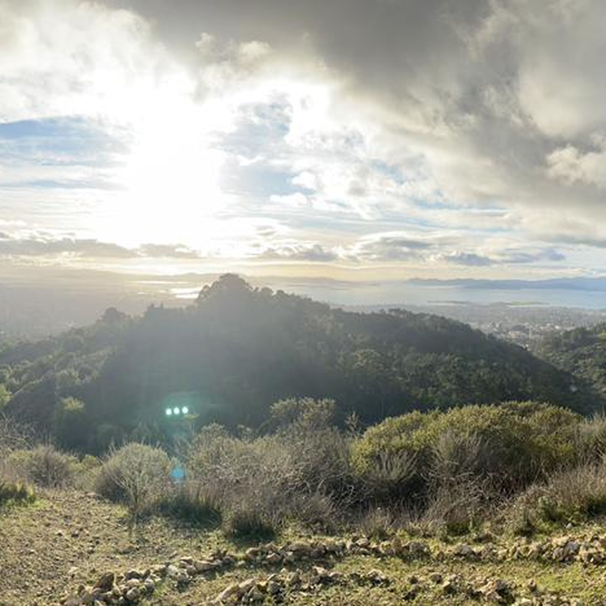
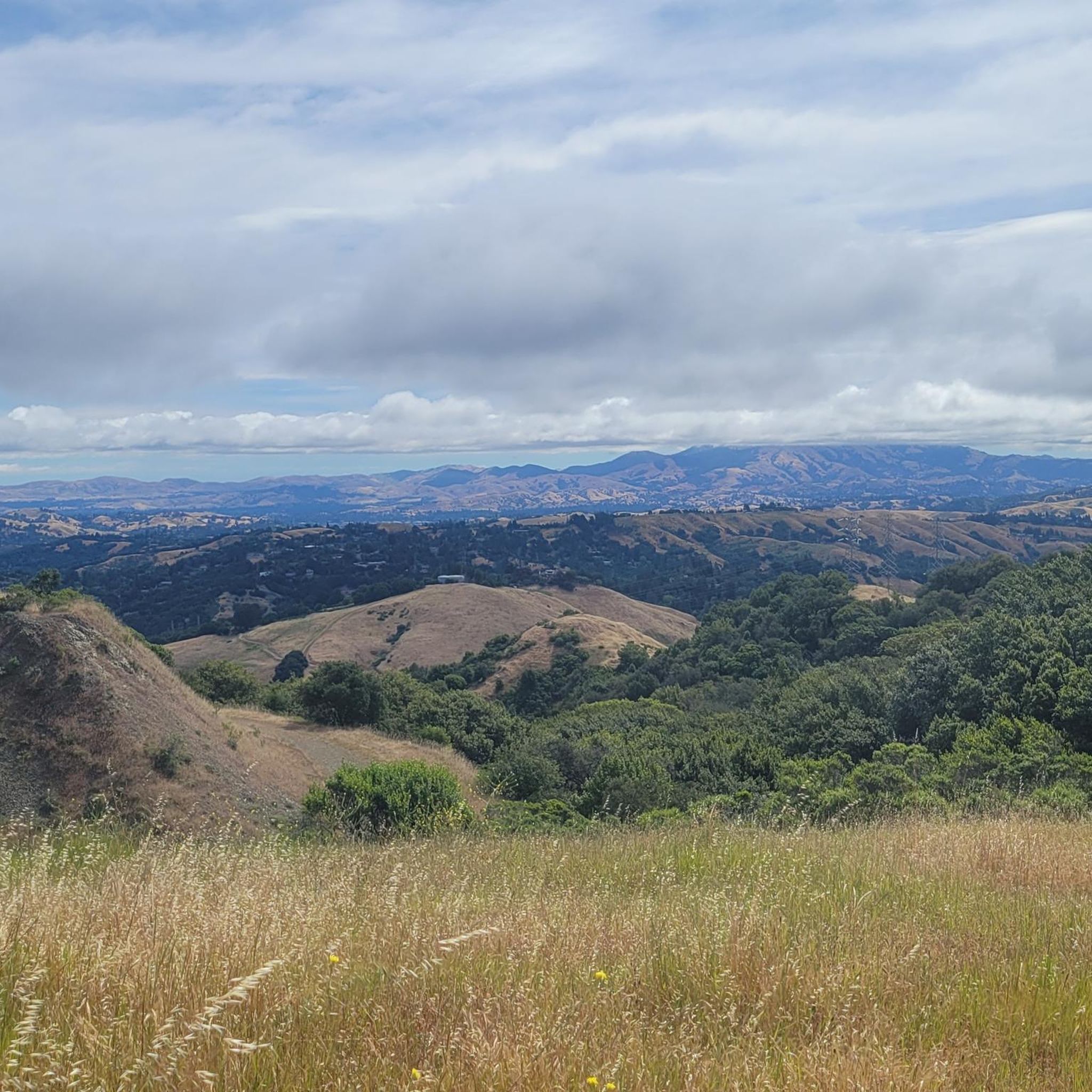
This road parallels the ridgeline above and have great views over the bay and surrounding hills.
0
0


This pretty little brick walkway wanders through a tunnel of shops, restaurants, and businesses around Orinda Theater. The awnings and aerial walkways lend the feeling of an old bustling medieval city.
0
0
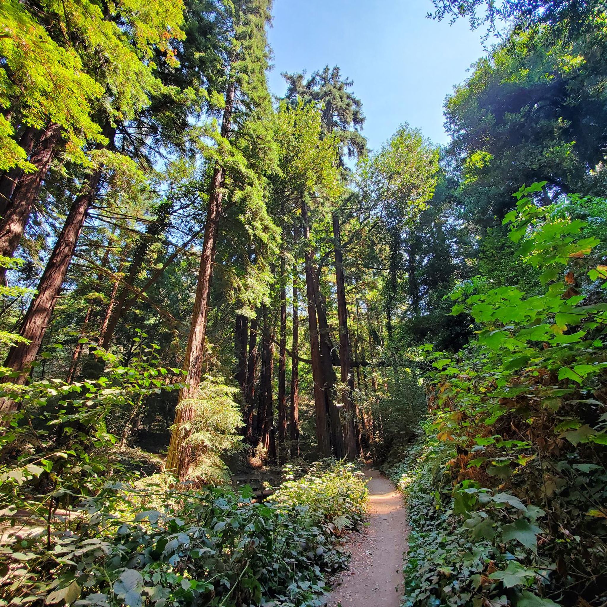
This is a delightful, flowy, mostly shaded route through the canyon with fantastic views through the trees and a few overlooks and picnic spots to pull over and soak in the views.
0
0

Wave "hello" to the horses as you pass by the Anthony Chabot Equestrian Center Riding Stables. This is a working-class ranch that has four-plus barns housing about ninety horses, so the chances of seeing one is high!
0
0
Frequently Asked Questions
How many road cycling routes are available in Reinhardt-Redwood Regional Park?
There are over 170 road cycling routes available in Reinhardt-Redwood Regional Park, offering a wide range of options for different skill levels and preferences.
What kind of terrain can I expect on road cycling routes in Reinhardt-Redwood Regional Park?
The park features a mix of paved roads and well-maintained fire roads. While many routes are described as having 'mostly paved surfaces,' some fire roads can be less smooth, so cyclists should be prepared for varied conditions. You'll encounter significant elevation changes, winding through redwood groves, evergreens, chaparral, and grasslands.
Are there any easy road cycling routes suitable for beginners or families?
Yes, the park offers several easy routes. For instance, the Skyline Boulevard – Bay Overlook loop from Lakeshore is an easy 7.5-mile (12.1 km) path, providing accessible cycling with views towards the bay. There are 57 easy routes in total, making it a good destination for less experienced riders or families.
What are some challenging road cycling routes for experienced riders?
For experienced riders seeking a challenge, the park has 30 difficult routes. The Grizzly Peak Boulevard – Skyline Boulevard loop from Leimert Bridge is a 36.5-mile (58.8 km) trail with over 1200 meters of elevation gain, offering extensive views and requiring good fitness.
What natural features or landmarks can I see while road cycling in the park?
You'll cycle through majestic redwood forests, the largest natural grove of coast redwoods in the East Bay. Keep an eye out for diverse wildlife like deer and squirrels. Notable attractions include the Chabot Space Science Center, accessible via the West Ridge Trail, and the serene ambiance along Stream Trail, where thousands of ladybugs congregate in winter.
What is the best time of year to go road cycling in Reinhardt-Redwood Regional Park?
The park is enjoyable year-round, but late fall and winter offer a unique experience with the congregation of thousands of Convergent ladybugs, particularly along the Stream Trail. Always check current trail conditions, especially after rain, as some unpaved sections can become muddy.
Are there any loop routes for road cycling in the park?
Yes, many routes are designed as loops. For example, the Wildcat Canyon Road – Inspiration Point Overlook loop from Pinehurst Staging Area is a popular 25.8-mile (41.5 km) moderate route. An 8.8-mile loop encircles the park primarily via fire trails, offering a consistent 5% average grade.
Where can I park when visiting Reinhardt-Redwood Regional Park for road cycling?
The park offers numerous staging areas and parking facilities. The Pinehurst Staging Area is a common starting point for many routes. Roberts Regional Recreation Area, adjacent to the park, also provides parking options.
What do other road cyclists enjoy most about road cycling in Reinhardt-Redwood Regional Park?
The area is highly rated by the komoot community, with an average score of 4.6 stars from over 300 reviews. Reviewers often praise the majestic redwood forests, the diverse ecosystems, and the varied terrain that caters to different skill levels, from gentle climbs to challenging ascents.
Are there any cafes or places to eat near the park entrances?
While the park itself has picnic areas, there are no cafes directly within the park's main entrances. However, the surrounding areas of Oakland, such as the Dimond District, offer various cafes and dining options that are easily accessible before or after your ride.
What should I know about park rules and safety for road cycling?
Cyclists should adhere to park rules, which stipulate that bicycles are allowed only on designated trails, fire roads, and service roads. State law requires bicyclists under 18 to wear an approved helmet. Be considerate of hikers and equestrians on shared trails, and it's always wise to check current trail conditions before heading out.
Can I find viewpoints with scenic vistas along the road cycling routes?
Absolutely. Many routes, particularly those along Skyline Boulevard and Grizzly Peak Boulevard, offer stunning bay overlooks and expansive views of the surrounding East Bay hills. The Wildcat Canyon Road – Inspiration Point Overlook loop is specifically known for its scenic overlooks.
Most popular routes in Reinhardt-Redwood Regional Park
Most popular attractions in Reinhardt-Redwood Regional Park

Get inspired with the komoot mobile app


Explore more
Browse the best Road cycling routes in other regions.
