The best gravel rides in Yellomundee Regional Park
4.0
(1)
39
riders
5
rides
Gravel biking in Yellomundee Regional Park offers routes through varied terrain characterized by woodlands and significant elevation changes. The park features trails that often include water crossings and lead to specific landmarks like "The Helipad." The landscape provides a mix of challenging climbs and descents, suitable for experienced gravel bikers.
Best gravel bike trails in Yellomundee Regional Park
- The most popular gravel bike trail is The Oaks Trail Water Crossing loop from Blaxland, a 18.8 miles (30.2 km) trail…
Last updated: July 2, 2026
12
riders
30.2km
02:17
480m
480m
Hard gravel ride. Very good fitness required. Mostly paved surfaces. Suitable for all skill levels.
10
riders
68.6km
04:29
1,010m
1,010m
Hard gravel ride. Very good fitness required. Mostly paved surfaces. Suitable for all skill levels.

Sign up for free
1
riders
81.3km
05:42
1,400m
1,400m
Hard gravel ride. Very good fitness required. Mostly paved surfaces. Suitable for all skill levels.
3
riders
14.3km
01:03
240m
240m
Moderate gravel ride. Good fitness required. Mostly paved surfaces. Suitable for all skill levels.
4.0
(1)
13
riders
55.1km
03:46
900m
900m
Hard gravel ride. Very good fitness required. Mostly paved surfaces. Suitable for all skill levels.
Our route recommendations are based on thousands of hikes, rides, and runs completed by other people on komoot.
Start today with a free account
Your next adventure awaits.
Login or Signup

Tips from the Community

Woodford – Oaks trail is a wide fire management road that passes though eucalyptus forests and past streams, watering holes, reservoirs, campsites, picnic areas, and archaeological sites like Bora Ground. The entire trail stretches from Woodford to Glenbrook spanning almost 28 kilometres in total. The trail can be taken as an out and back or, for ambitious bushwalkers and bikers, an end-to-end adventure. The trail starts and ends very close to Woodford and Glenbrook train stations. This area can get hot in summer. During severe heatwaves, temperatures can occasionally soar past 40° C, so plan accordingly.
0
0
Green Parade is a road that is often paired with the Valley Heights Fire Trail to create a complete loop. Green Parade has a sidewalk for most of the way, but there are also just grassy and dirt areas to walk on the side of the road. Green Parade is not very busy, but still be careful when walking near traffic.
0
0
The Valley Heights Rail Museum has tours, a cafe, and steam tram rides, along with its museum. It's a charming museum full of information and with lots of realistic miniature working trains to enjoy.
0
0

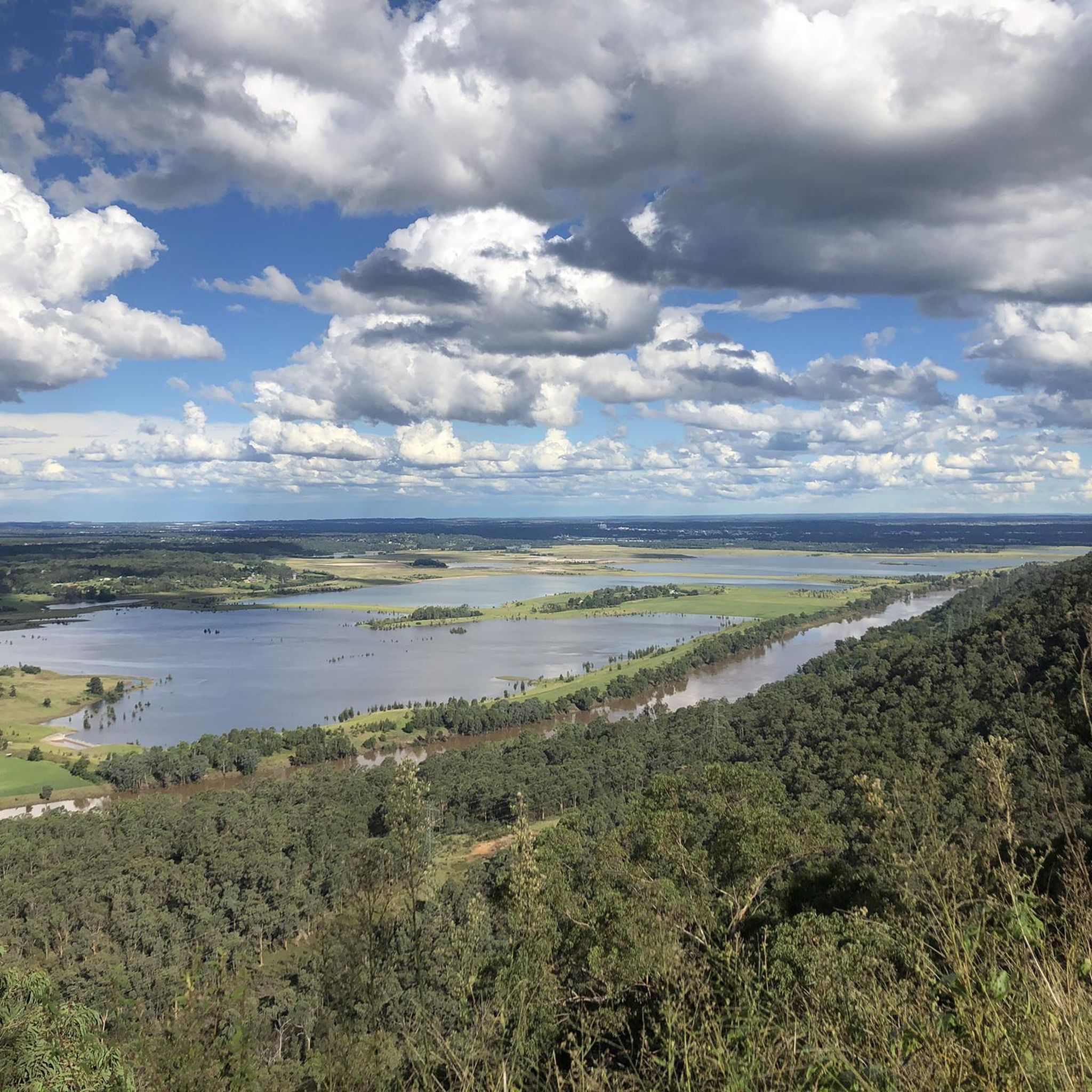
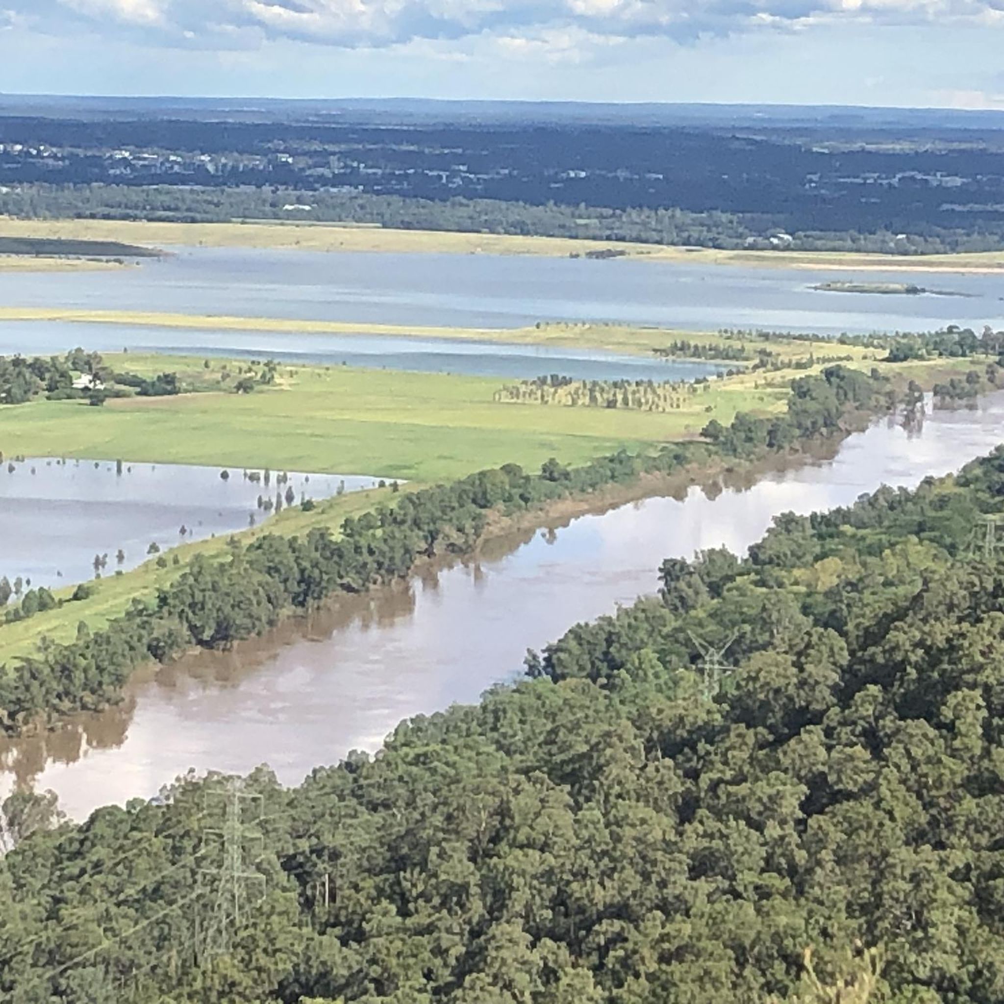
The Nepean River, known as Yandhai in the local Dharug language, is the main tributary of the Hawkesbury River that flows into the Tasman Sea at Broken Bay. An important water source for the region the river is also an attraction for hikers, cyclists, canoers, and kayakers.
0
0


Frequently Asked Questions
What is the general difficulty level of gravel biking trails in Yellomundee Regional Park?
The trails in Yellomundee Regional Park are primarily suited for experienced gravel bikers, featuring challenging climbs and descents. Out of the five available routes, four are rated as difficult. There is one moderate option, The Oaks Trail Water Crossing loop from Glenbrook, which covers 14.3 km with varied terrain and moderate climbs.
Are there any beginner-friendly gravel bike trails in Yellomundee Regional Park?
While most routes are challenging, the The Oaks Trail Water Crossing loop from Glenbrook is rated as moderate. It's a good option for those looking for a less intense ride compared to the park's more difficult offerings, but still involves varied terrain and some climbs.
What kind of terrain can I expect on gravel bike trails in Yellomundee Regional Park?
You can expect varied terrain characterized by extensive woodlands, significant elevation changes, and frequent water crossings. The routes often include both challenging climbs and descents, providing a dynamic riding experience.
Are there any specific landmarks or points of interest along the gravel bike routes?
Yes, some routes lead to specific landmarks. For example, the The Oaks Trail Water Crossing – The Helipad loop from Springwood will take you towards 'The Helipad', a notable point within the park.
What is the typical length of gravel bike trails in Yellomundee Regional Park?
The gravel bike trails vary significantly in length. You can find shorter routes like the moderate The Oaks Trail Water Crossing loop from Glenbrook at 14.3 km, up to much longer and more challenging options such as The Helipad – Bedford Creek Crossing loop from Glenbrook, which spans 87.1 km.
Are there any loop trails available for gravel biking in Yellomundee Regional Park?
Yes, all the gravel bike routes in Yellomundee Regional Park are designed as loops, allowing you to start and finish at the same point. This includes popular options like The Oaks Trail Water Crossing loop from Blaxland.
What should I bring for a gravel biking trip in Yellomundee Regional Park?
Given the varied terrain, significant elevation changes, and water crossings, it's essential to be well-prepared. Bring plenty of water, snacks, a repair kit, appropriate safety gear, and be ready for potentially wet conditions due to the water crossings.
What do other gravel bikers say about their experience in Yellomundee Regional Park?
The komoot community rates the gravel biking experience in Yellomundee Regional Park highly, with an average score of 4.0 stars. Riders often appreciate the challenging nature of the trails, the scenic woodlands, and the unique experience of the water crossings.
Are permits required for gravel biking in Yellomundee Regional Park?
Generally, permits are not required for recreational cycling on designated trails within Yellomundee Regional Park. However, it's always advisable to check the official NSW National Parks and Wildlife Service website for the most current regulations before your visit, as conditions can change.
Is Yellomundee Regional Park suitable for family gravel biking?
Due to the prevalence of difficult trails, significant elevation changes, and water crossings, Yellomundee Regional Park is generally more suited for experienced gravel bikers. The moderate The Oaks Trail Water Crossing loop from Glenbrook might be an option for families with older, experienced riders, but younger children or beginners may find the terrain too challenging.
What is the best time of year to go gravel biking in Yellomundee Regional Park?
The best time to go gravel biking often depends on personal preference and current weather conditions. Spring and autumn generally offer milder temperatures, which can be more comfortable for tackling the park's challenging climbs. Always check the local weather forecast before heading out, especially considering the water crossings.
Most popular routes in Yellomundee Regional Park

Get inspired with the komoot mobile app


Explore more
Browse the best Gravel rides in other regions.
