Parsonage Down National Nature Reserve
Parsonage Down National Nature Reserve
The best gravel rides in Parsonage Down National Nature Reserve
4.3
(6)
106
riders
6
rides
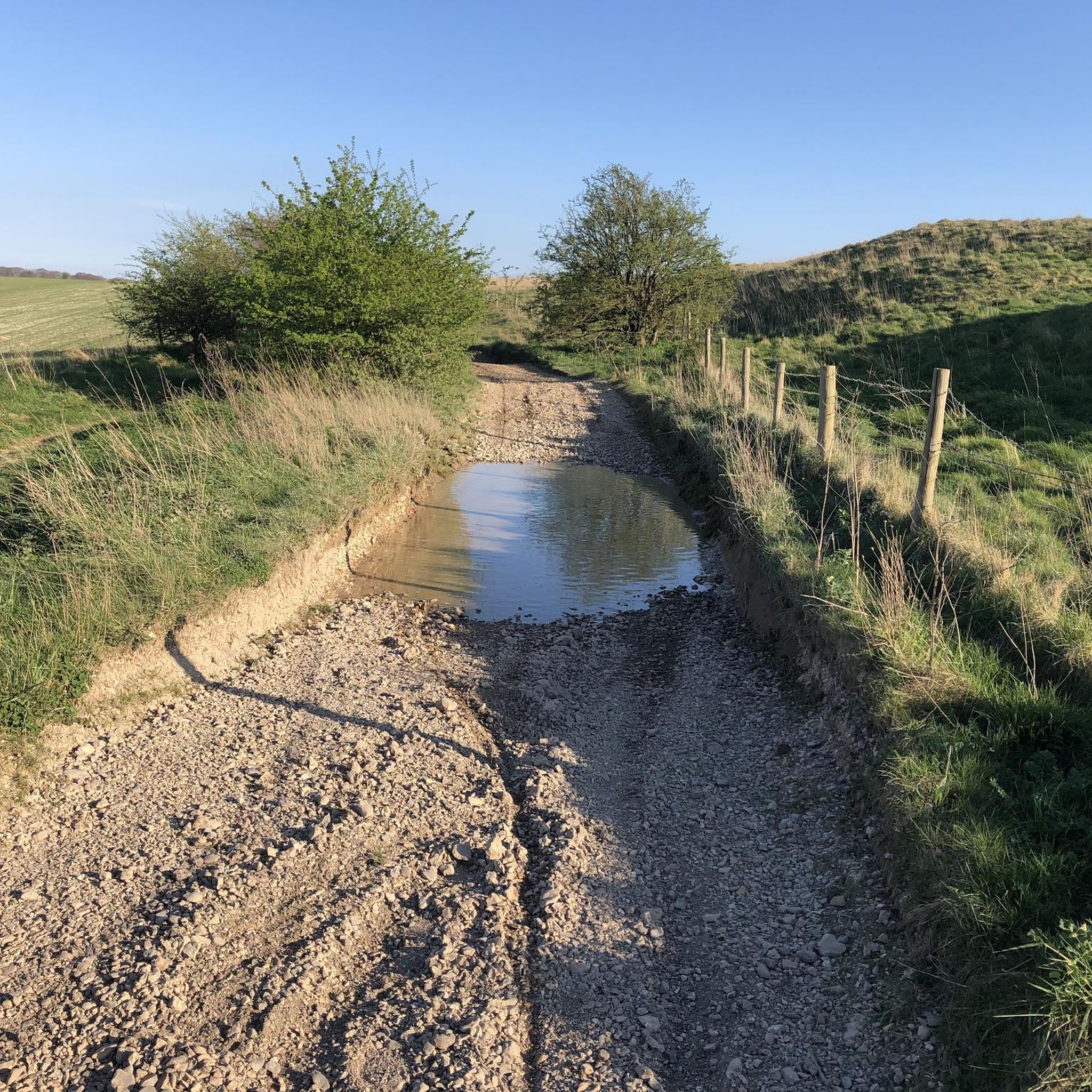
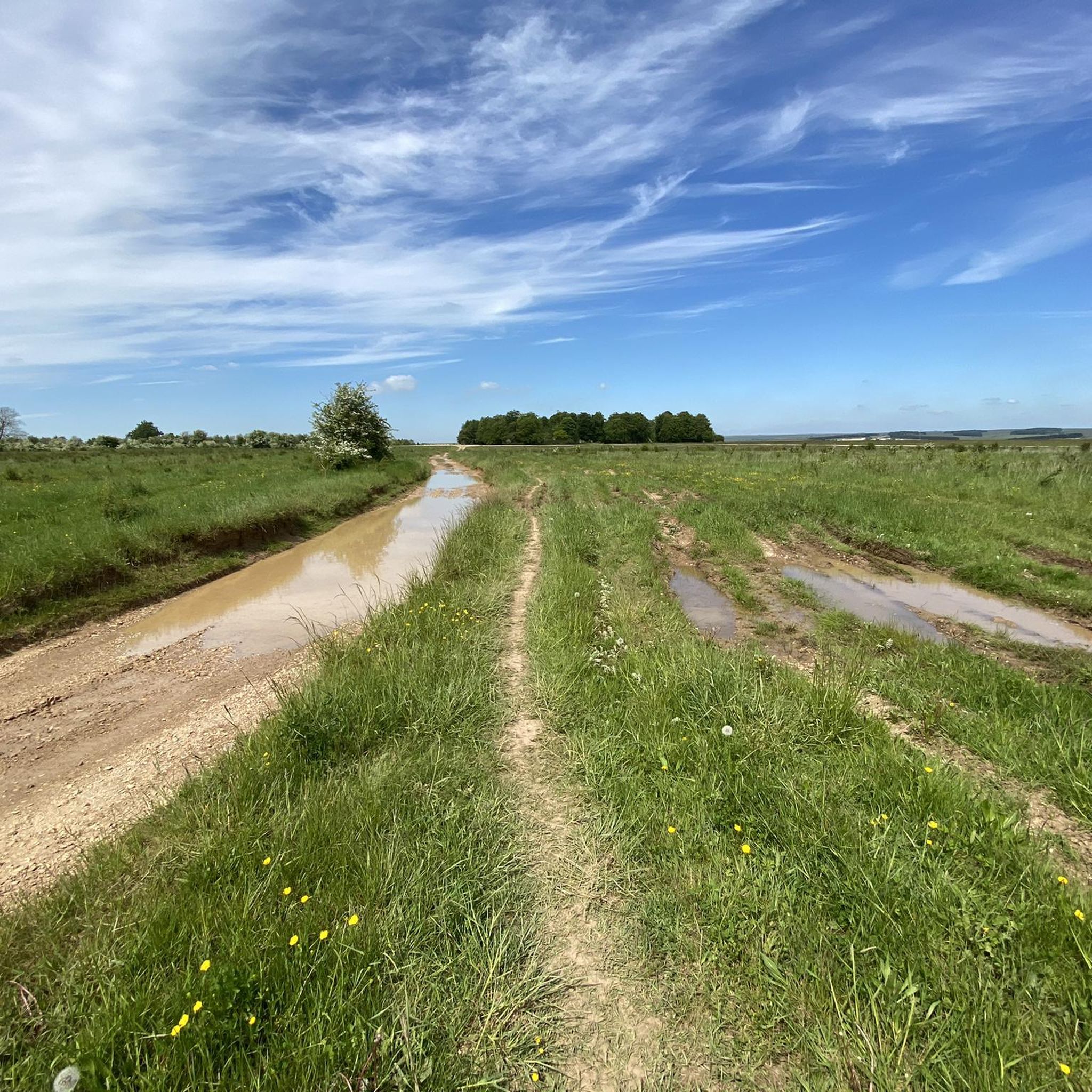
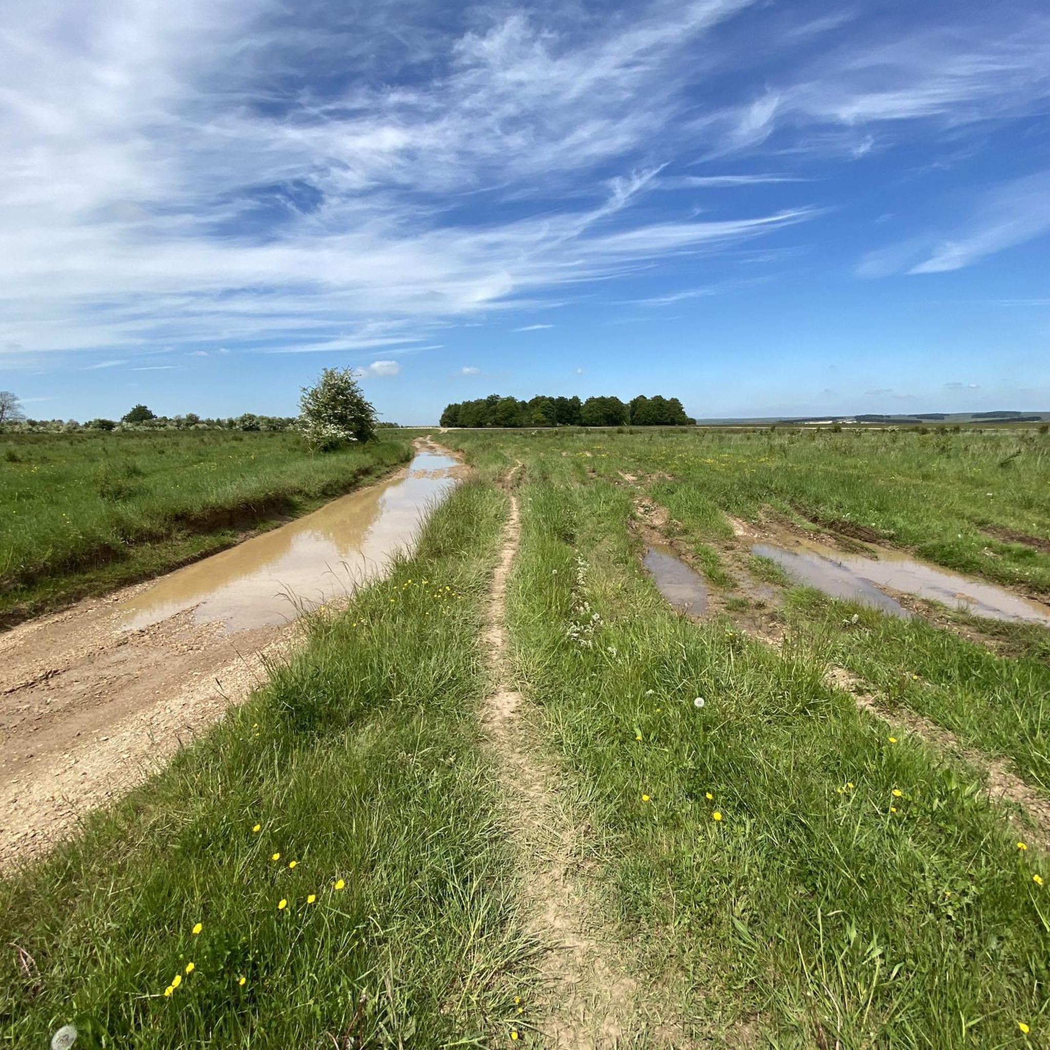
Gravel biking in Parsonage Down National Nature Reserve offers routes across open chalk downland and rolling hills. The landscape is characterized by ancient byways and expansive views, providing a mix of terrain suitable for gravel bikes. This area features a network of tracks that traverse agricultural land and natural habitats, often following historical routes.
Best gravel bike trails in Parsonage Down National Nature Reserve
- The most popular gravel bike trail is Old Chalk Way Detour – Old Marlborough Road Byway…
Last updated: August 27, 2026
3
riders
Moderate gravel ride. Good fitness required. Mostly paved surfaces. Suitable for all skill levels.
4.0
(1)
3
riders
Hard gravel ride. Very good fitness required. Mostly paved surfaces. Suitable for all skill levels.

Sign up for free
4.0
(1)
4
riders
Moderate gravel ride. Good fitness required. Mostly paved surfaces. Suitable for all skill levels.
5
riders
4.84km
00:17
50m
50m
Easy gravel ride. Great for any fitness level. Mostly paved surfaces. Suitable for all skill levels.
5.0
(1)
2
riders
13.1km
00:52
140m
140m
Easy gravel ride. Great for any fitness level. Mostly paved surfaces. Suitable for all skill levels.
Our route recommendations are based on thousands of hikes, rides, and runs completed by other people on komoot.
Start today with a free account
Your next adventure awaits.
Login or Signup
Popular around Parsonage Down National Nature Reserve

Tips from the Community

Plenty of interest in the village... pretty buildings, church. Below average pubs. You know you are in trouble when Wetherspoons it head and shoulders the best.
0
0

This is a simply glorious route across Salisbury plain. Free car parking at the start/ finish as it is a circular ride. The secret tk this ride is to simply keep on going.
0
0
A fabulous gravel cycle ride for a summer's day, just perfect. Some chunky, flint gravel sections and deep ruts so good tyres. Short sections of quiet tarmac. Cross the A303 a couple of times. Excellent cafe stop at Berwick St James.Then a short killer hill at 17% gradient.
0
0

If you follow the cycle path you get a great view of the site without having to pay the entry fees. There are also some stalls nearby selling fresh coffee, cakes and handmade gifts.
0
0
Take the small path just over the entrance road to Stonehenge, on the right This leads you right oast the stones and some lovely picture opportunities. It then goes over grass to a double gate beside the A303. You need to cross over the A303 to be able to ride safely up the hill on the pathway and then cross back over at the top to rejoin the gravel. Or simply cycle uo the grass verge as I did but this is a lot more sketchy. A fantastic ride and you are only 10 mins from the end.
0
0

Larkhill Camp – Eerie Order on the Edge of the Plain Larkhill Camp feels like riding through a live blueprint of military precision. This historic garrison town, perched on the northern edge of Salisbury Plain, isn’t your typical village stop — it’s a place where wide tarmac roads stretch between regimented rows of near-identical housing blocks, all arranged with deliberate symmetry. Founded in the late 19th century as an artillery training base, Larkhill is still an active military camp, home to the Royal Artillery. You’ll feel that presence in the design — everything is clean, uniform, and spaced out. There’s a peculiar quiet, even when the camp is busy, and it lends a kind of surreal calm to your ride through. While not a classic beauty spot, it’s fascinating in its own right — a moment of stark contrast between the ancient wildness of the Plain and the tightly ordered world of the MOD. It’s not uncommon to hear distant explosions or spot helicopters overhead. And just beyond, the landscape opens up again into chalk trails and flint-edged bridleways. 🚴♂️ Bikepacker Tip: Water and supplies are limited here — the camp isn’t set up for tourists — so fill up in nearby Durrington or Amesbury if you’re heading across the Plain. Watch for MOD signs, especially if venturing off-route. 📍 Highlight Type: Urban/Military Landmark 🌄 Surroundings: Military roads, open grassland, access to training areas 📷 Vibe: Surreal, stark, historically charged
2
0

A television series that I wholeheartedly recommend introduces culture-loving viewers to remarkable testimonies to human activity from many countries around the world. What they all have in common is that they have been granted "World Heritage" status by UNESCO. One of the episodes documents the ancient and still mysterious stone circle of Stonehenge. The accompanying documentary states: "The Salisbury Plateau in southern England is a harsh and uninviting area, often subject to cold and biting winds. About 5,000 years ago, during the Neolithic period, people lived here, about whom we know very little. But what they and subsequent generations left behind is impressive beyond measure: the stone circles and burial mounds of the Megalithic culture." This film (in German) can be found in the ARD media library under the following link => https://www.ardmediathek.de/video/schaetze-der-welt/stonehenge-grossbritannien-folge-16/swr/Y3JpZDovL3N3ci5kZS83MjQ1ODkw
0
1
Frequently Asked Questions
What is the general difficulty level of gravel biking in Parsonage Down National Nature Reserve?
The gravel biking routes in Parsonage Down National Nature Reserve offer a range of difficulties. You'll find everything from easy loops suitable for beginners to more challenging paths with significant elevation changes. The area features 7 routes in total, with 2 easy, 2 moderate, and 3 difficult options.
Are there any easy gravel bike trails suitable for beginners in Parsonage Down National Nature Reserve?
Yes, there are easy gravel bike trails perfect for beginners. For example, the Old Chalk Way Detour loop from Durrington is a shorter, less demanding option. Another accessible route is the Stonehenge – Stonehenge loop from Durrington, which is also rated as easy.
Where can I park when visiting Parsonage Down National Nature Reserve for gravel biking?
While specific parking areas are not detailed for each route, many trails start from villages or accessible points where public parking may be available. For instance, routes like the Old Chalk Way Detour – Old Marlborough Road Byway loop from Appleford School suggest starting points near local facilities, where parking might be found.
What is the typical length and duration of gravel bike routes in Parsonage Down National Nature Reserve?
The routes vary significantly in length and duration. You can find shorter rides, like the Old Chalk Way Detour loop from Durrington, which is about 4.8 km and takes under 30 minutes. Longer, more challenging routes, such as the View of the Fovant Badges – View of Wylye Valley loop from Steeple Langford, can be around 36.7 km and take over 2 hours.
Are there any challenging gravel bike routes in Parsonage Down National Nature Reserve?
Yes, for experienced gravel bikers seeking a challenge, there are several difficult routes. The View of the Fovant Badges – View of Wylye Valley loop from Steeple Langford is rated as difficult, featuring significant elevation changes and panoramic views. There are 3 difficult routes out of the 7 available.
What kind of views and landmarks can I expect along the gravel bike routes?
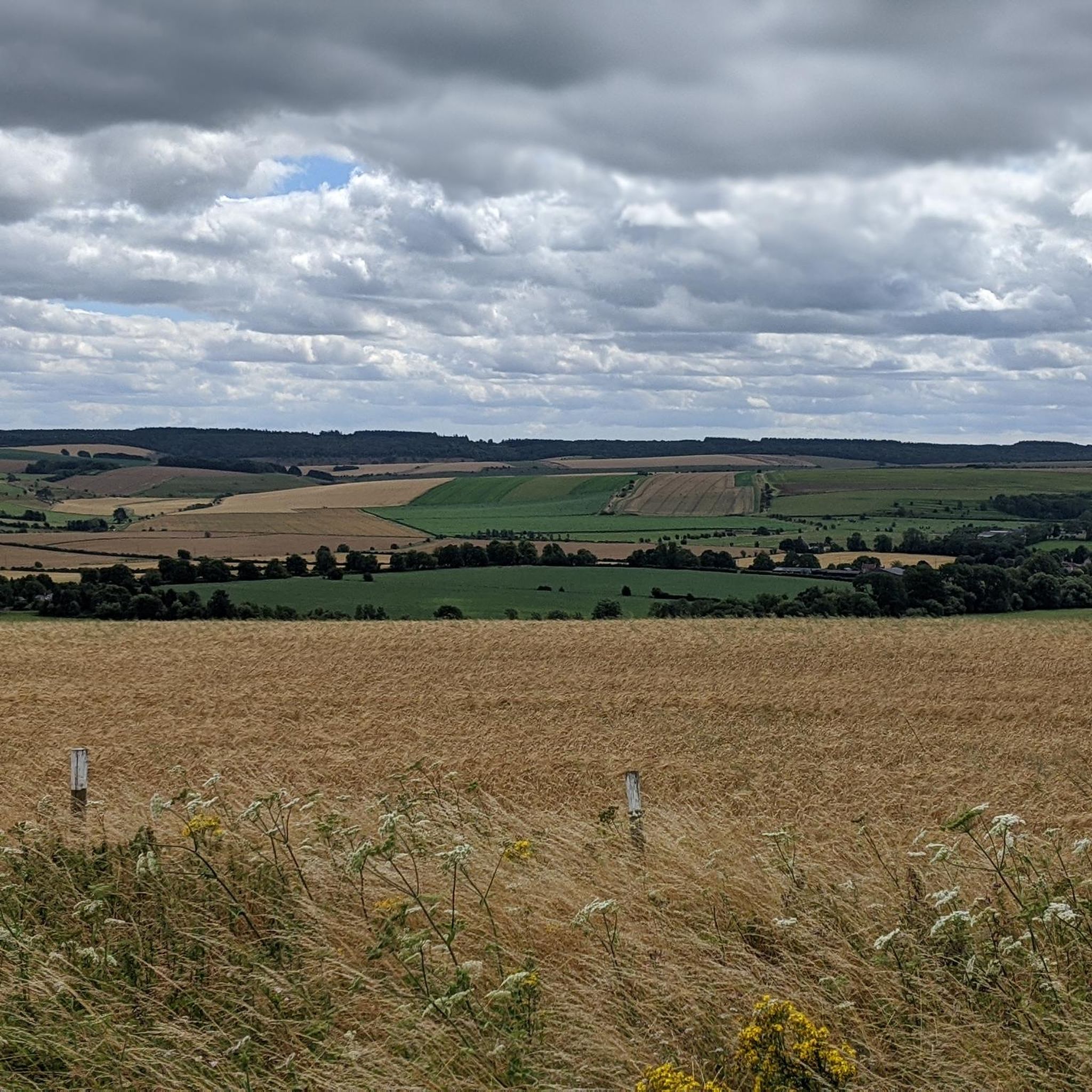
The routes offer expansive views across open chalk downland and rolling agricultural landscapes. You can expect to see ancient byways and, on some routes, notable landmarks. For example, the View of the Fovant Badges – View of Wylye Valley loop from Steeple Langford provides panoramic views of the Wylye Valley and the historic Fovant Badges. Another route, the Gravel Track Near Stonehenge – Lower Woodford Tree-Lined Road loop from Larkhill, takes you through open countryside near Stonehenge.
What is the best time of year for gravel biking in Parsonage Down National Nature Reserve?
The open chalk downland can be exposed, so spring and autumn often provide pleasant temperatures and drier conditions. Summers are generally good, but be prepared for sun exposure. Winters can be muddy and windy, making some trails more challenging, though the landscape offers a different kind of beauty.
Are there any circular gravel bike routes in Parsonage Down National Nature Reserve?
Yes, many of the gravel bike routes in the area are designed as loops, allowing you to start and finish at the same point. Examples include the Old Chalk Way Detour – Old Marlborough Road Byway loop from Appleford School and the Gravel Track Near Stonehenge – Lower Woodford Tree-Lined Road loop from Larkhill.
What do other gravel bikers enjoy most about gravel biking in Parsonage Down National Nature Reserve?
The area is highly rated by the komoot community, with an average score of 4.5 stars from over 5 reviews. Reviewers often praise the open chalk downland, the sense of space, and the network of ancient byways that provide a unique gravel biking experience. Many appreciate the mix of terrain and the expansive views.
What kind of terrain should I expect on the gravel bike trails?
You should expect a mix of terrain characteristic of chalk downland. This includes firm, rolling tracks, ancient byways, and paths that traverse agricultural land. While generally suitable for gravel bikes, conditions can vary with weather, potentially leading to muddy sections after rain.
Is public transport available to access the gravel biking trails in Parsonage Down National Nature Reserve?
Access to specific trailheads by public transport can be limited in rural areas like National Nature Reserves. It's advisable to check local bus services to nearby villages such as Durrington, Appleford, or Steeple Langford, which serve as starting points for some routes. However, direct access to all trailheads via public transport may not be feasible.
Most popular routes in Parsonage Down National Nature Reserve

Get inspired with the komoot mobile app


Explore more
Browse the best Gravel rides in other regions.
