The best gravel rides in Mount Seymour Provincial Park
4.6
(17)
281
riders
8
rides
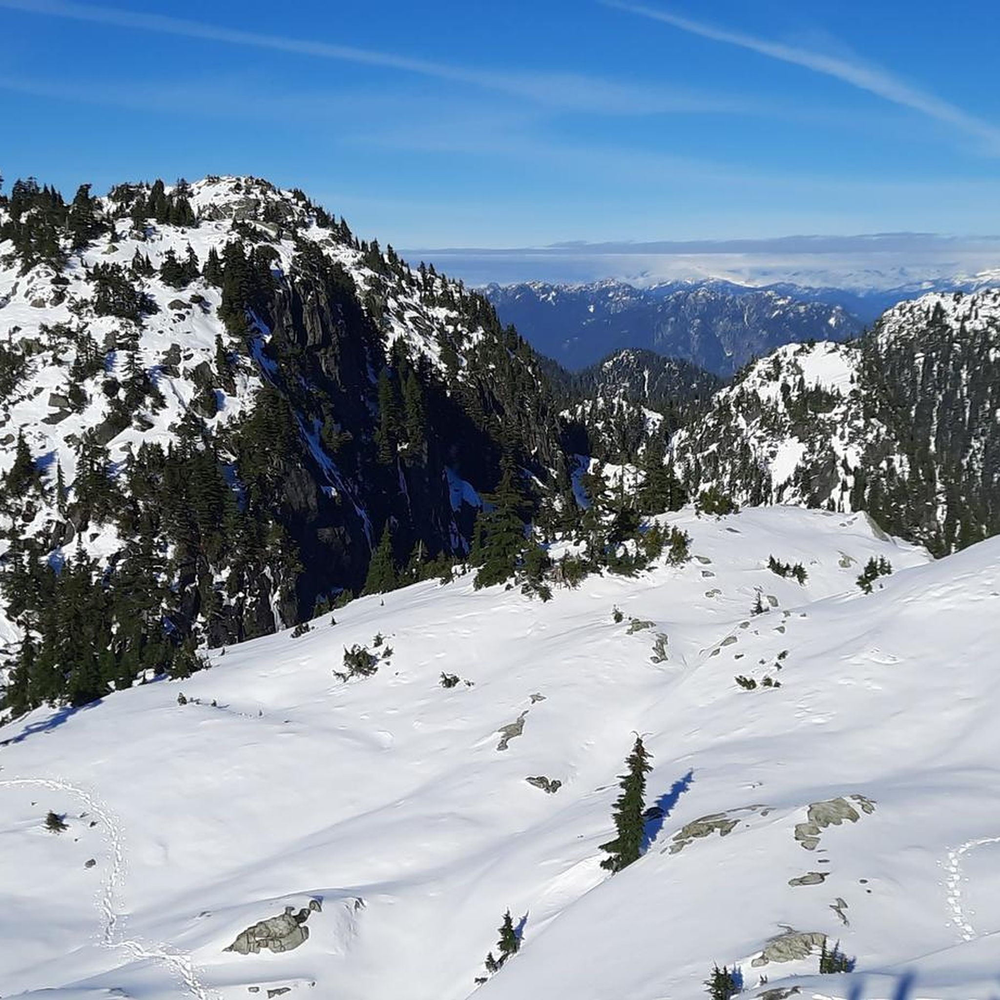
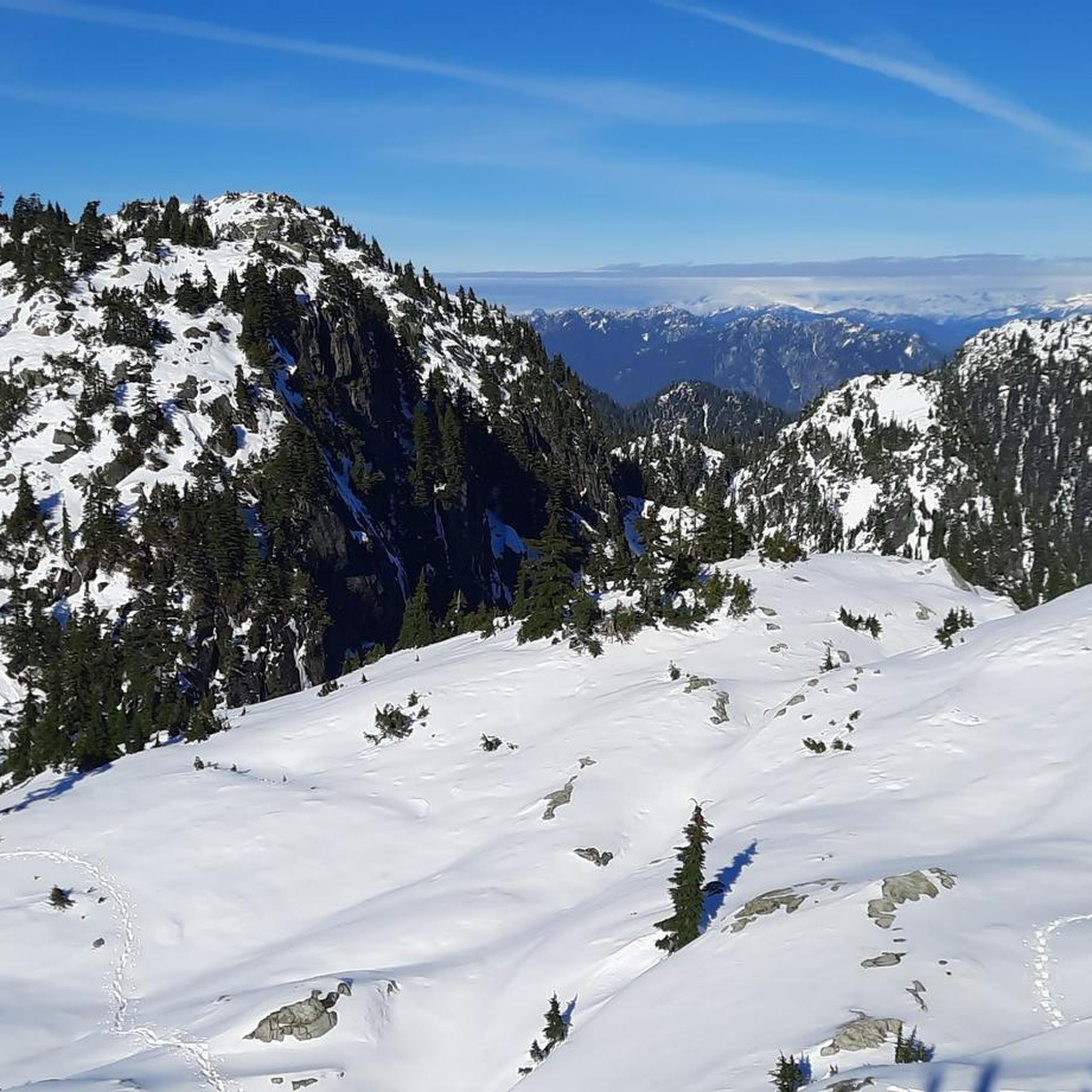
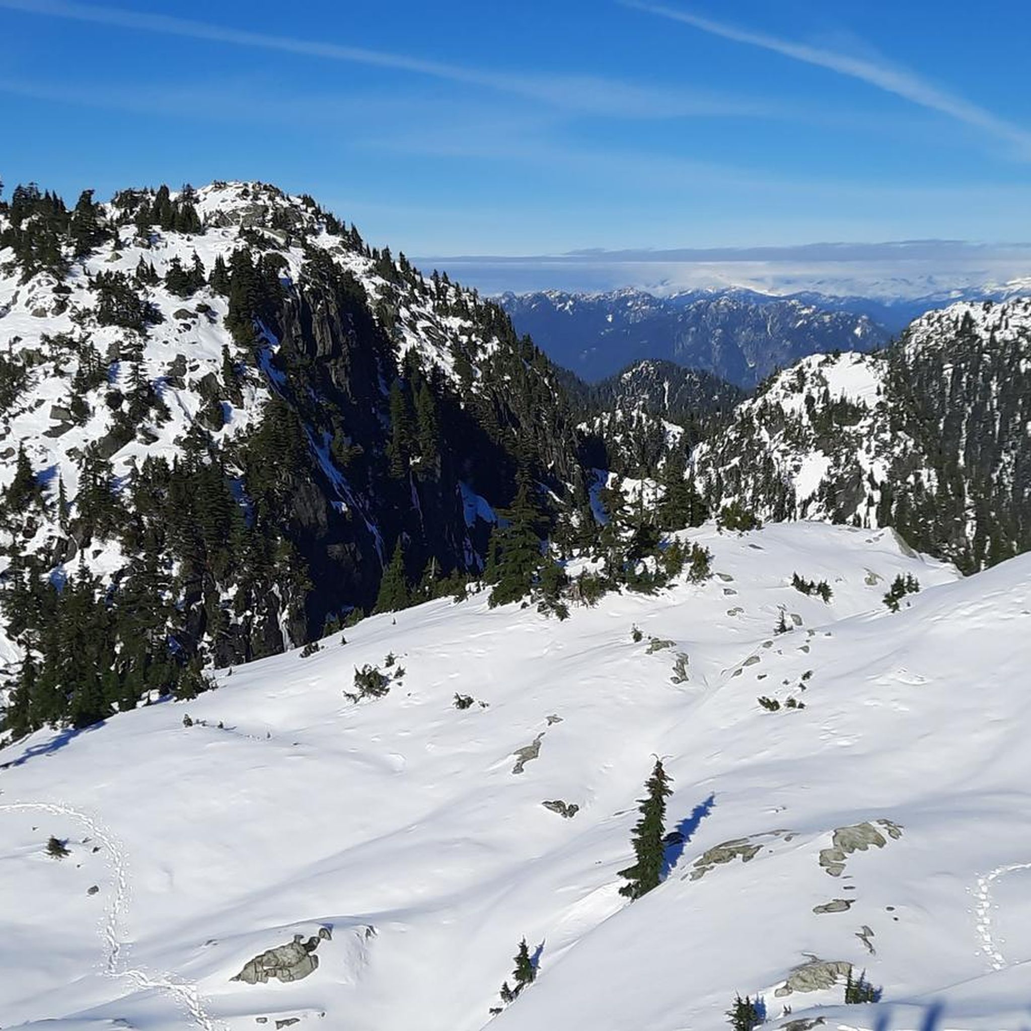
Gravel biking in Mount Seymour Provincial Park offers a diverse network of trails within a mountain wilderness setting. The park features a landscape that transitions from dense forests at lower elevations to open sub-alpine meadows higher up. This region is characterized by prominent peaks, several lakes, and the Seymour River, providing varied terrain for gravel cyclists. The trail system includes both paved and unpaved sections, with routes ranging from moderate to difficult.
Best gravel bike trails in Mount Seymour Provincial Park
- The most popular gravel bike trail is Seymour Demonstration Forest – Seymour Trailway loop from Holdom, a 28.6 miles (46.0 km) trail that takes 3 hours 41 minutes to complete. This route offers a mix of paved and unpaved sections through varied forest terrain.
- Another top favourite among local gravel bikers is Seymour Demonstration Forest – Seymour Trailway loop from Lynn Valley Rd (WB) at Ross Rd, a moderate 12.8 miles (20.7 km) path. This shorter loop provides access to the Seymour Trailway, suitable for those seeking a less strenuous ride.
- Local gravel bikers also love the Mud Bay Park – Boundary Bay Gravel Path loop from Holdom, a 57.2 miles (92.1 km) trail leading through coastal and park areas, often completed in about 7 hours 23 minutes.
- Gravel biking in Mount Seymour Provincial Park is defined by dense forests, sub-alpine meadows, and views of mountain peaks and lakes. The network offers options for different ability levels, from moderate to difficult.
- The routes in Mount Seymour Provincial Park are highly rated by the komoot community with an average score of 4.7 stars from over 20 reviews. More than 270 gravel bikers have used komoot to explore Mount Seymour Provincial Park's varied terrain.
Last updated: July 3, 2026
52
riders
45.5km
02:44
600m
600m
Hard gravel ride. Very good fitness required. Mostly paved surfaces. Suitable for all skill levels.
4.0
(1)
11
riders
84.3km
04:23
460m
460m
Hard gravel ride. Very good fitness required. Mostly paved surfaces. Suitable for all skill levels.

Sign up for free
4.2
(9)
36
riders
Moderate gravel ride. Good fitness required. Mostly paved surfaces. Suitable for all skill levels.
5.0
(3)
78
riders
78.0km
04:37
910m
920m
Hard gravel ride. Very good fitness required. Mostly paved surfaces. Suitable for all skill levels.
41
riders
64.3km
03:24
440m
440m
Moderate gravel ride. Good fitness required. Mostly paved surfaces. Suitable for all skill levels.
Get access to more routes and recommendations from other explorers.
Sign up for free
Already have an account?
Our route recommendations are based on thousands of hikes, rides, and runs completed by other people on komoot.
Start today with a free account
Your next adventure awaits.
Login or Signup
Popular around Mount Seymour Provincial Park

Other adventures in Mount Seymour Provincial Park

Tips from the Community

So need to use a gravel bike ? Would it be too challenge with road bike?
0
0

Here, the Avison Trail crosses over Stanley Park Causeway via a sidewalk on Stanley Park Drive and gives one of the best viewpoints over Lions Gate Bridge. There is an informational sign on the sidewalk about the bridge, and the viewpoints look straight down the bridge from between the forests.
1
0

Boundary Bay Wildlife Management Area protects a vast stretch of intertidal mudflats, salt marsh, and eelgrass habitat along Boundary Bay. The area supports large numbers of migratory shorebirds and waterfowl, making it one of the most important bird habitats on Canada’s Pacific coast. Its accessible trails, consistent bird activity, and ever-changing tidal scenery make it an especially rewarding place to explore on foot or by bike.
0
0
Boundary Bay Dyke Trail is a long, flat route along the shoreline, with uninterrupted views across mudflats and the open water. Its wide gravel surface is ideal for walking and cycling, with plenty of benches and access points along the way. Set along a major migratory route, the trail is especially known for birdlife and beautiful, expansive coastal scenery.
1
0

This section of the Trans Canada Trail follows the wooded banks of the Coquitlam River through Coquitlam. The mostly gravel path runs through forested river habitat, offering a quiet stretch of trail where the sound of the river accompanies much of the walk. It’s a multi-use route popular with hikers, runners, and cyclists, and several bridges and viewpoints along the way provide good views over the river as it flows through the valley.
0
0

A really beautiful place to walk.
3
0
A very nice place to walk.
2
0
On the east side of the bridge’s northern end, near the base of the bridge is a memorial to honor 27 workers who lost their lives on June 17, 1958, when a section of the original Second Narrows Bridge collapsed during construction.
0
0
Frequently Asked Questions
How many gravel bike trails are available in Mount Seymour Provincial Park?
Mount Seymour Provincial Park offers a network of 15 gravel bike trails, catering to various skill levels. You'll find a mix of moderate and difficult routes, with a few easier options as well.
What kind of terrain can I expect on gravel bike trails in Mount Seymour Provincial Park?
The park's terrain is quite diverse, transitioning from dense, lush forests at lower elevations to open sub-alpine meadows higher up. Trails often feature a mix of paved and unpaved sections, with some routes like the Seymour Demonstration Forest – Seymour Trailway loop from Holdom offering varied forest terrain. You might encounter rolling sections, occasional steep climbs, and some roots and rocks, especially on trails like Slippery Salamander / Sticks & Stones.
Are there any family-friendly gravel biking options in Mount Seymour Provincial Park?
While many trails are moderate to difficult, some sections of the Seymour Demonstration Forest – Seymour Trailway loop are suitable for all skill levels. For a less strenuous ride, consider the Seymour Demonstration Forest – Seymour Trailway loop from Lynn Valley Rd (WB) at Ross Rd, which is a moderate 12.8-mile path providing access to the Seymour Trailway.
What are some notable natural features or viewpoints I can see while gravel biking?
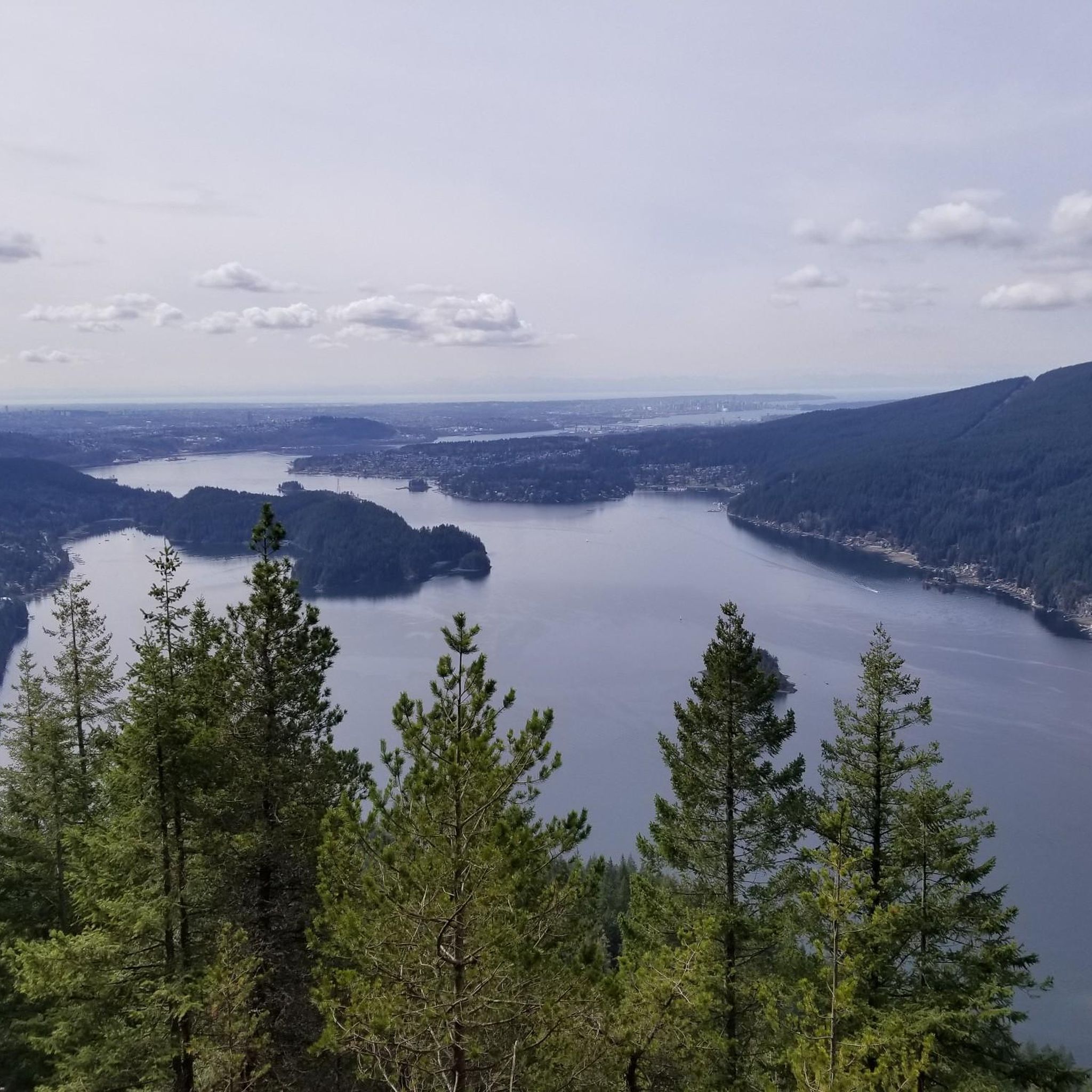
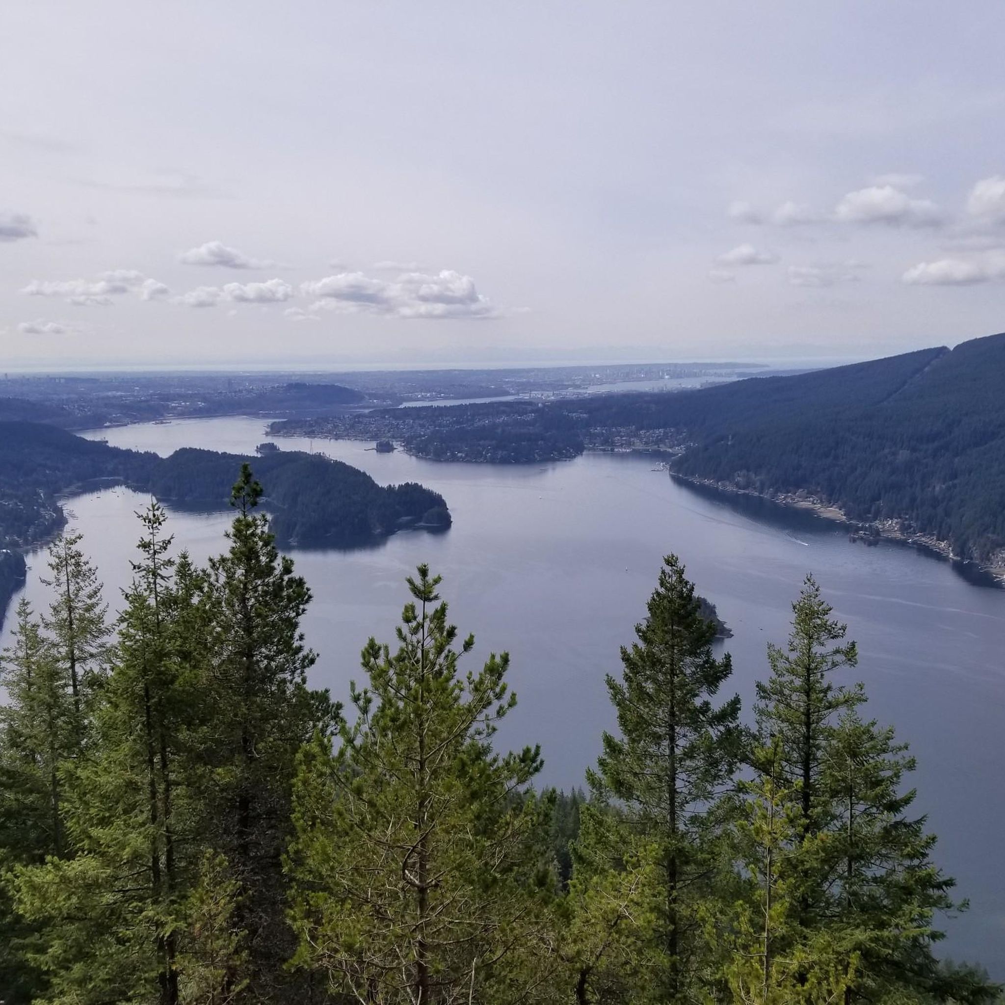
The park is rich in natural beauty. You can enjoy panoramic views of Vancouver, the Lower Mainland, and even Mount Baker from higher elevations. Keep an eye out for picturesque lakes like Elsay Lake, Mystery Lake, and Goldie Lake, or the serene Seymour River. The Deep Cove Lookout on Mount Seymour Road also offers impressive vistas. The trails themselves wind through old-growth Douglas fir and western red cedar forests, transitioning to sub-alpine meadows with wildflowers.
Are dogs allowed on the gravel bike trails in Mount Seymour Provincial Park?
Dogs are generally allowed in Mount Seymour Provincial Park, but it's crucial to keep them leashed at all times. The park is home to various wildlife, including bears, so keeping your dog on a leash is important for their safety and the safety of other park users and animals.
What is the best time of year to go gravel biking in Mount Seymour Provincial Park?
The best time for gravel biking typically spans from spring through fall when the weather is milder and trails are generally free of snow. During winter, higher elevation trails may be covered in snow and ice, making them unsuitable for gravel biking. Always check local conditions before heading out.
Are there any circular gravel bike routes in the park?
Yes, several routes offer a loop experience. For example, the Seymour Demonstration Forest – Seymour Trailway loop from Holdom and the Seymour Demonstration Forest – Seymour Trailway loop from Lynn Valley Rd (WB) at Ross Rd are popular circular options that allow you to explore varied terrain.
What are the difficulty levels of gravel bike trails in Mount Seymour Provincial Park?
The park offers a range of difficulties. You'll find 2 easy routes, 7 moderate routes, and 6 difficult routes. Trails like the Old Buck Trail are known for steep climbs, while others like the John Deer trail are considered smoother. Always check the specific route details on komoot to match your skill level.
How long do gravel bike rides typically take in Mount Seymour Provincial Park?
Ride durations vary significantly depending on the trail length and your pace. For instance, the Seymour Demonstration Forest – Seymour Trailway loop from Holdom is about 28.6 miles (46.0 km) and typically takes around 3 hours 41 minutes. Shorter loops, like the Seymour Demonstration Forest – Seymour Trailway loop from Lynn Valley Rd (WB) at Ross Rd (12.8 miles / 20.7 km), can be completed in about 1 hour 51 minutes.
What do other gravel bikers say about the trails in Mount Seymour Provincial Park?
The gravel biking routes in Mount Seymour Provincial Park are highly regarded by the komoot community, holding an average rating of 4.7 stars from over 20 reviews. Riders frequently praise the diverse terrain, from dense forests to sub-alpine meadows, and the stunning views of mountain peaks and lakes.
Are there any specific trails recommended for advanced gravel bikers looking for a challenge?
Advanced riders seeking a challenge can explore trails known for steep climbs, such as the Old Buck Trail, which is entirely rideable for gravel bikes up to Mount Seymour Parkway. Additionally, some of the 'difficult' rated routes like the Pitt River Bridge – Pitt River Dike Trail loop from Capilano University offer significant elevation gain and distance.
Is public transport an option to reach Mount Seymour Provincial Park for gravel biking?
Mount Seymour Provincial Park is located just 30 minutes from downtown Vancouver, making it relatively accessible. While specific public transport routes directly to trailheads for gravel biking might require some planning, TransLink operates bus services that can get you close to the park's vicinity, from where you might need to cycle or arrange a short taxi ride to your starting point.
Most popular routes in Mount Seymour Provincial Park
Most popular attractions in Mount Seymour Provincial Park

Get inspired with the komoot mobile app


Explore more
Browse the best Gravel rides in other regions.
