The best gravel rides in Buntzen Lake Recreation Area
4.8
(55)
179
riders
4
rides
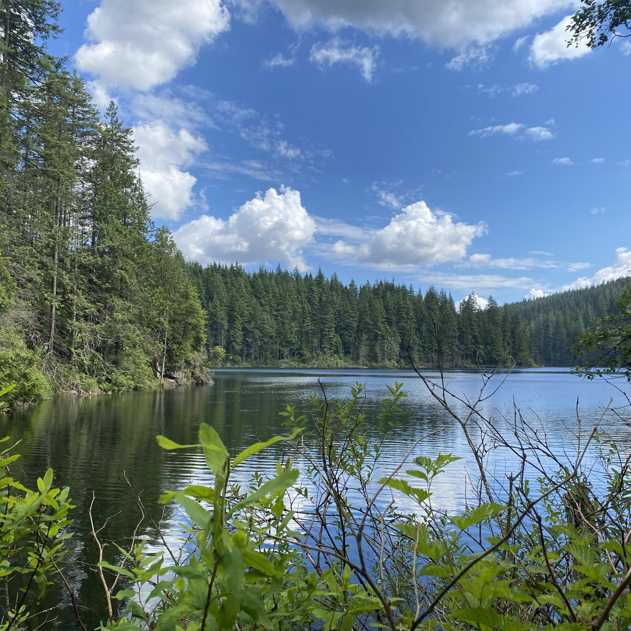
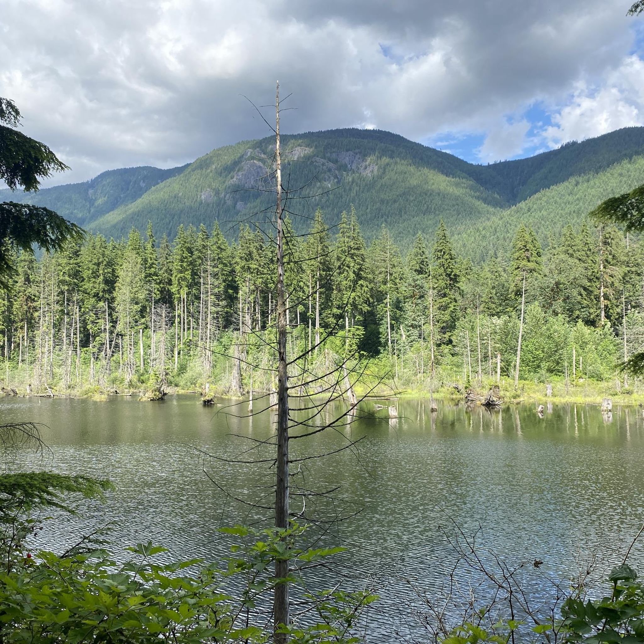
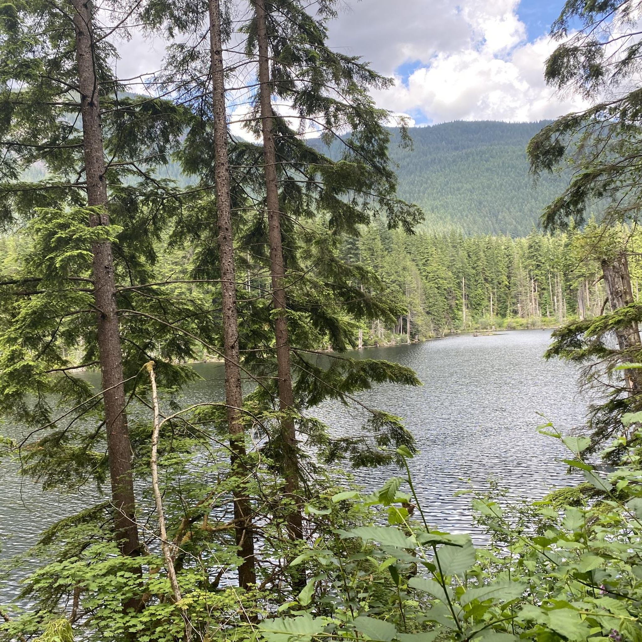
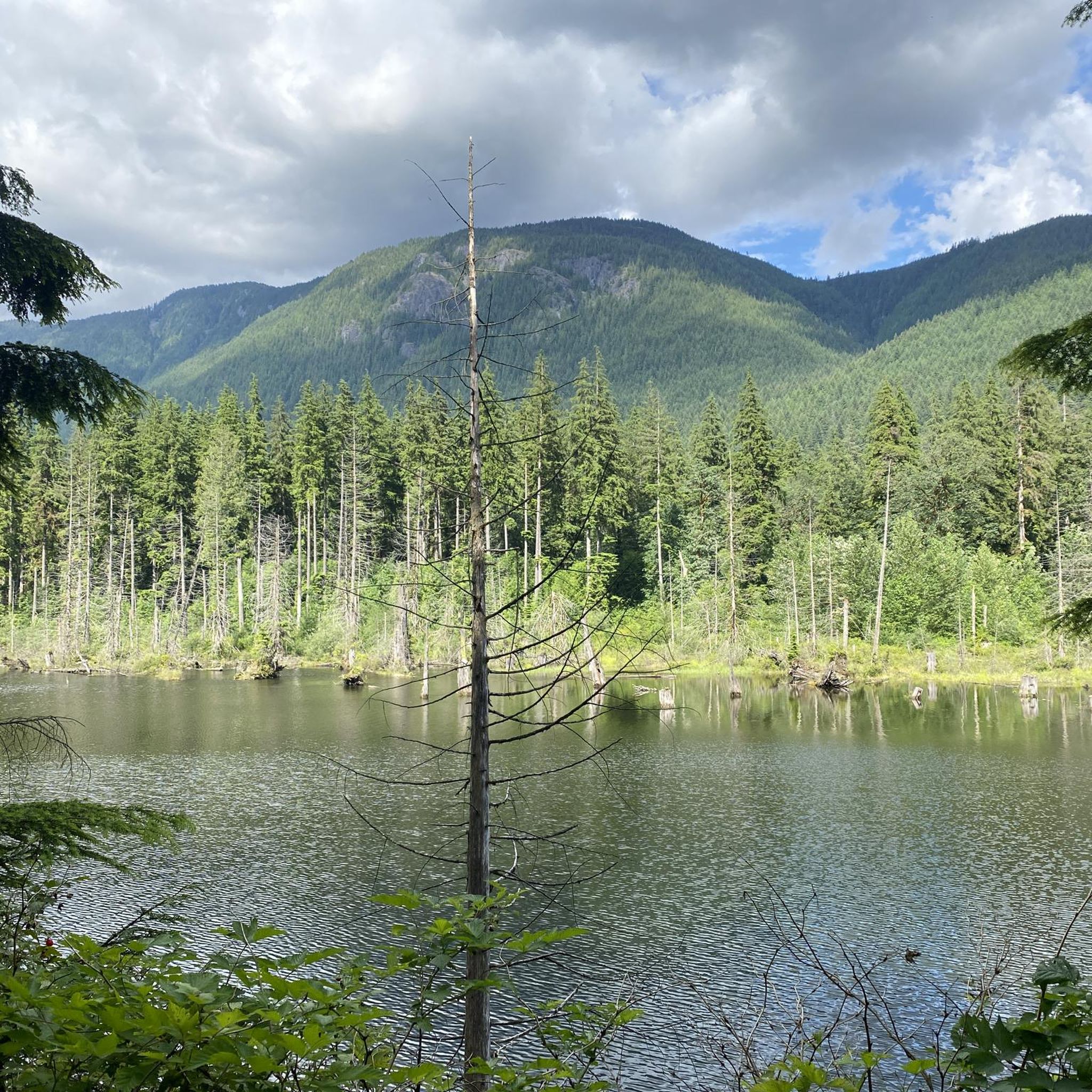
Gravel biking in Buntzen Lake Recreation Area offers a diverse landscape characterized by forested trails, lakefront paths, and varied elevation changes. The region features established multi-use trails and routes that navigate through natural areas and along waterways. Terrain includes compacted gravel paths, some paved sections, and occasional climbs, providing a mix of surfaces for gravel cyclists. The area's geography combines the tranquility of the lake with the surrounding hills and green spaces.
Best gravel bike trails in Buntzen Lake Recreation Area
- The most popular gravel bike trail is Barnet Marine Park loop from Moody Centre, a 14.6 miles (23.6 km) trail that takes 2 hours 9 minutes to complete, offering views of the marine park and surrounding waters.
- Another top favourite among local gravel bikers is Port Moody Heron Rookery – Buntzen Lake Beach loop from Inlet Centre, a difficult 19.2 miles (30.9 km) path. This route provides opportunities to observe local wildlife and enjoy lakefront scenery.
- Local gravel bikers also love the PoCo Trail – Trans Canada Trail – Coquitlam loop from Lafarge Lake–Douglas, an 11.6 miles (18.7 km) trail leading through established multi-use paths, often completed in about 56 minutes.
- Gravel biking in Buntzen Lake Recreation Area is defined by lake shorelines, forested sections, and established trail networks. The network offers options for easy, moderate, and difficult ability levels.
- The routes in Buntzen Lake Recreation Area are highly rated by the komoot community with an average score of 4.8 stars from over 40 reviews. More than 160 gravel bikers have used komoot to explore Buntzen Lake Recreation Area's varied terrain.
Last updated: November 17, 2026
11
riders
37.3km
02:24
630m
630m
Hard gravel ride. Very good fitness required. Mostly paved surfaces.
4.3
(46)
132
riders
Moderate gravel ride. Good fitness required. Mostly paved surfaces.

5.0
(2)
29
riders
51.4km
02:36
140m
130m
Moderate gravel ride. Good fitness required. Mostly paved surfaces.
5.0
(7)
7
riders
Easy gravel ride. Mostly paved surfaces.
Our route recommendations are based on thousands of hikes, rides, and runs completed by other people on komoot.
Start today with a free account
Your next adventure awaits.

Tips from the Community

The Alouette River was formerly known as the Lillooet River, but the name was changed since there is a larger, more well known river that had the same name. The name Alouette was chosen for the simple reason that it sounds similar to Lillooet, but French speakers will recognize that it means lark.
0
0

The Hyde Creek Salmon Hatchery is a small powerhouse of local conservation, run entirely by volunteers who raise thousands of coho and chum salmon each year. Its story began in the 1980s with a homemade backyard hatchery, complete with an old bathtub! Drop by on a Saturday morning when volunteers are usually around, and you may get a glimpse behind the scenes before heading back out to watch for salmon in Hyde Creek itself.
1
0

The view opens onto a slow, meandering river cutting through wide-open farmland — a mix of grassy fields, wetland patches, and hedgerows rather than dense forest crowding the banks.
0
0
This brigde was built through community fundraising efforts led by the Colony Farm Park Association, working in partnership with Metro Vancouver, to give walkers and cyclists a direct river crossing within the park's trail network. It serves as a key junction point: crossing it lets visitors extend a walk into a longer loop, linking the western side of the park near the Community Gardens to the eastern Wilson Farm area, rather than backtracking the way they came.
0
0

Say Nuth Khaw Yum Provincial Park protects more than 5,500 hectares of rugged Coast Mountains, old-growth forest, alpine lakes, and dramatic viewpoints overlooking Indian Arm. The park is collaboratively managed by the Tsleil-Waututh Nation and the Province of British Columbia, and its name, Say Nuth Khaw Yum, means Serpent's Land. Despite being just outside Metro Vancouver, much of the park remains wild and undeveloped, with challenging trails leading to remote lookouts, mountain ridges, and pristine backcountry lakes. There is no fee to hike in the park, making it one of the region's most rewarding free wilderness destinations.
0
0
təmtəmíxʷtən/Belcarra Regional Park sits covers 1,100 hectares (2,700 acres) and offers a mix of beaches, shaded trails, and calm lake swimming. You can explore cool, mossy glades beneath towering trees, wander shoreline paths, or head inland to Sasamat Lake, known for its warm summer water and family‑friendly beaches. The parks name, given by the Tsleil‑Waututh Nation, means “the biggest place for all the people,” and the land still holds a high place in their history and culture.
0
0
This section of the Trans Canada Trail follows the wooded banks of the Coquitlam River through Coquitlam. The mostly gravel path runs through forested river habitat, offering a quiet stretch of trail where the sound of the river accompanies much of the walk. It’s a multi-use route popular with hikers, runners, and cyclists, and several bridges and viewpoints along the way provide good views over the river as it flows through the valley.
0
0
This 165-acre municipal park features nearly 10 km of forested trails winding through riparian woodlands. Seasonal changes bring dramatic shifts, from high water and swirling currents in winter to calmer flows perfect for wading in during summer. In autumn, the river becomes a vivid stage for returning salmon and the autumn colors illuminate the river corridor. There are trong ties to the traditional lands of the Kwikwetlem Nation, with the river's name coming from their language and meaning "red fish up the river". Coquitlam River Park offers a quiet nature escape just minutes from the city.
0
0
Frequently Asked Questions
How many gravel bike trails are available in Buntzen Lake Recreation Area?
There are 7 gravel bike trails in the Buntzen Lake Recreation Area, offering a mix of easy, moderate, and difficult options to suit various skill levels.
Are there any easy gravel bike trails suitable for beginners or families?
Yes, the region offers several easy routes. A good option for beginners or families is the PoCo Trail – Trans Canada Trail – Coquitlam loop from Lafarge Lake–Douglas, which is 18.7 km long and typically takes under an hour to complete. Another easy route is the View of Mount Baker – Hyde Creek Salmon Hatchery loop from Lafarge Lake–Douglas, which is longer at 37.6 km but has minimal elevation gain.
What is the best time of year to go gravel biking in Buntzen Lake Recreation Area?
The Buntzen Lake Recreation Area is generally accessible for gravel biking from spring through fall. Summer offers the warmest weather, but can be busy, requiring early arrival or reservations for parking. Spring and fall provide cooler temperatures and fewer crowds, with vibrant foliage in autumn. Always check local conditions before heading out.
Are there any circular gravel bike routes around Buntzen Lake?
Yes, many of the gravel bike routes in the area are loops. For instance, the Barnet Marine Park loop from Moody Centre offers a 23.6 km circular ride with views of the marine park. Another option is the challenging Port Moody Heron Rookery – Buntzen Lake Beach loop from Inlet Centre, which is 30.9 km and provides lakefront scenery.
What kind of terrain can I expect on gravel bike trails in Buntzen Lake?
The terrain in Buntzen Lake Recreation Area is diverse, featuring compacted gravel paths, some paved sections, and occasional climbs. You'll navigate through forested trails, along lakefront paths, and experience varied elevation changes, combining the tranquility of the lake with surrounding hills and green spaces.
What do other gravel bikers enjoy most about the Buntzen Lake Recreation Area?
The area is highly rated by the komoot community, with an average score of 4.8 stars from over 40 reviews. Reviewers often praise the diverse landscape, the mix of challenging and easy routes, and the beautiful lakefront and forested sections.
Is public transport available to reach the gravel biking trails?
While direct public transport to Buntzen Lake can be limited, you can often reach nearby areas like Port Moody or Coquitlam via SkyTrain, and then connect with local bus services. It's advisable to check TransLink schedules and routes for the most current information on reaching the trailheads.
Are there any cafes or places to eat near the gravel bike trails?
Directly at Buntzen Lake, amenities are limited. However, the nearby communities of Port Moody and Coquitlam, especially around areas like Inlet Centre or Lafarge Lake–Douglas, offer a variety of cafes, restaurants, and shops where you can refuel before or after your ride.
Where can I find parking for gravel biking in Buntzen Lake Recreation Area?
Parking is available at designated lots within the Buntzen Lake Recreation Area. Due to the area's popularity, especially on weekends and during peak season, parking often requires advance reservations or passes. It's crucial to check the official BC Hydro Buntzen Lake website for current parking regulations and reservation requirements before your visit.
Are there any longer gravel bike routes for more advanced riders?
For more advanced riders looking for longer distances, the Pitt River Bridge – Pitt River Dike Trail loop from Lafarge Lake–Douglas is a moderate 51.6 km route that offers a substantial ride. The Port Moody Heron Rookery – Buntzen Lake Beach loop from Inlet Centre is also a challenging option at 30.9 km with significant elevation changes.
What should I wear for gravel biking in Buntzen Lake?
Given the varied terrain and potential for changing weather, it's best to wear layers. Moisture-wicking base layers, a comfortable cycling jersey, and a wind/water-resistant outer shell are recommended. Padded shorts will enhance comfort on longer rides, and sturdy cycling shoes are essential for grip and pedaling efficiency. Always bring a helmet and consider gloves and eyewear for protection.
Most popular routes in Buntzen Lake Recreation Area

Get inspired with the komoot mobile app


Explore more
Browse the best Gravel rides in other regions.
