The best gravel rides in Metro Vancouver Regional Parks
4.6
(168)
1,507
riders
35
rides
Gravel biking in Metro Vancouver Regional Parks offers diverse landscapes, from lush forested areas to scenic river dikes and coastal views. The region features an extensive network of paths, including smooth gravel trails through wetlands and more challenging routes with elevation gains in hilly areas. Riders can explore extensive greenways, quiet paths through wooded sections, and routes along waterways, providing varied terrain. This mix of surfaces ensures engaging rides for different skill levels.
Best gravel bike trails in Metro Vancouver…
Last updated: July 3, 2026
5.0
(3)
5
riders
18.7km
01:08
170m
170m
Moderate gravel ride. Good fitness required. Mostly paved surfaces. Suitable for all skill levels.
2
riders
9.06km
00:38
80m
80m
Easy gravel ride. Great for any fitness level. Mostly paved surfaces. Suitable for all skill levels.

Sign up for free
8
riders
24.9km
01:34
270m
270m
Moderate gravel ride. Good fitness required. Mostly paved surfaces. Suitable for all skill levels.
10
riders
Easy gravel ride. Great for any fitness level. Mostly paved surfaces. Suitable for all skill levels.
5.0
(9)
134
riders
74.9km
04:40
960m
960m
Hard gravel ride. Very good fitness required. You may need to push your bike for some segments of this route.
Get access to more routes and recommendations from other explorers.
Sign up for free
Already have an account?
Our route recommendations are based on thousands of hikes, rides, and runs completed by other people on komoot.
Start today with a free account
Your next adventure awaits.
Login or Signup
Popular around Metro Vancouver Regional Parks

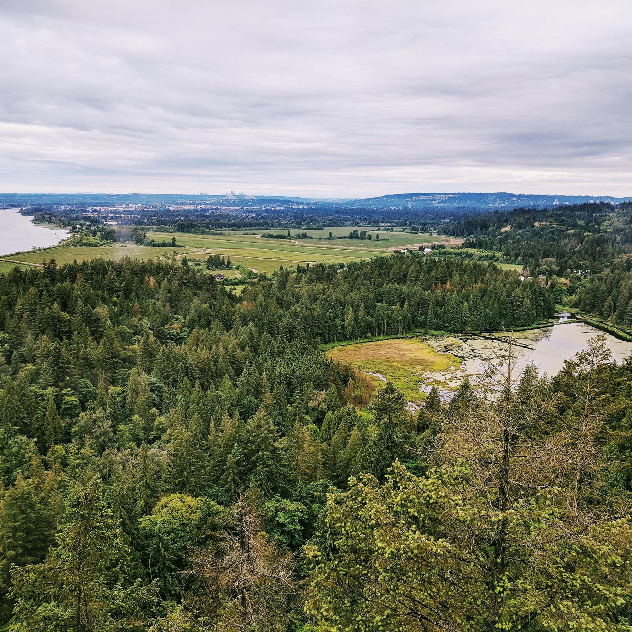
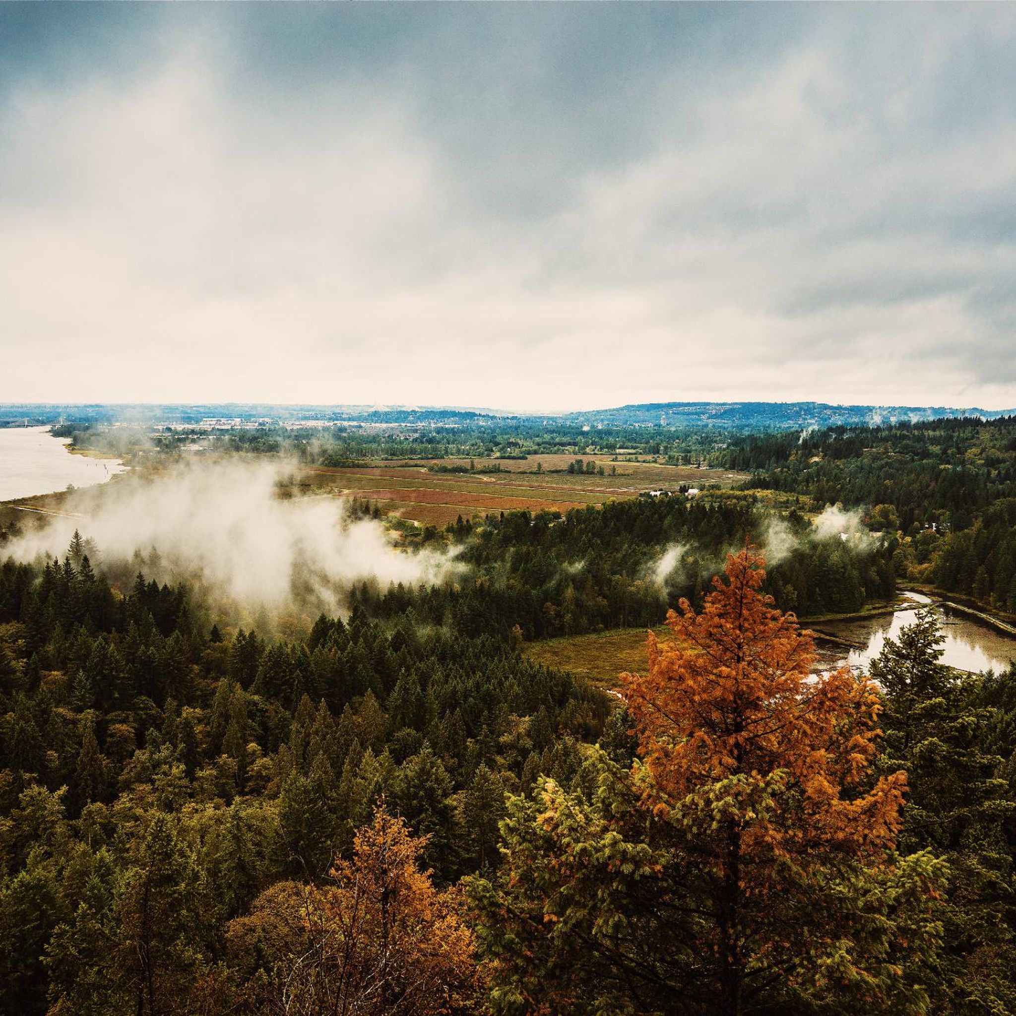
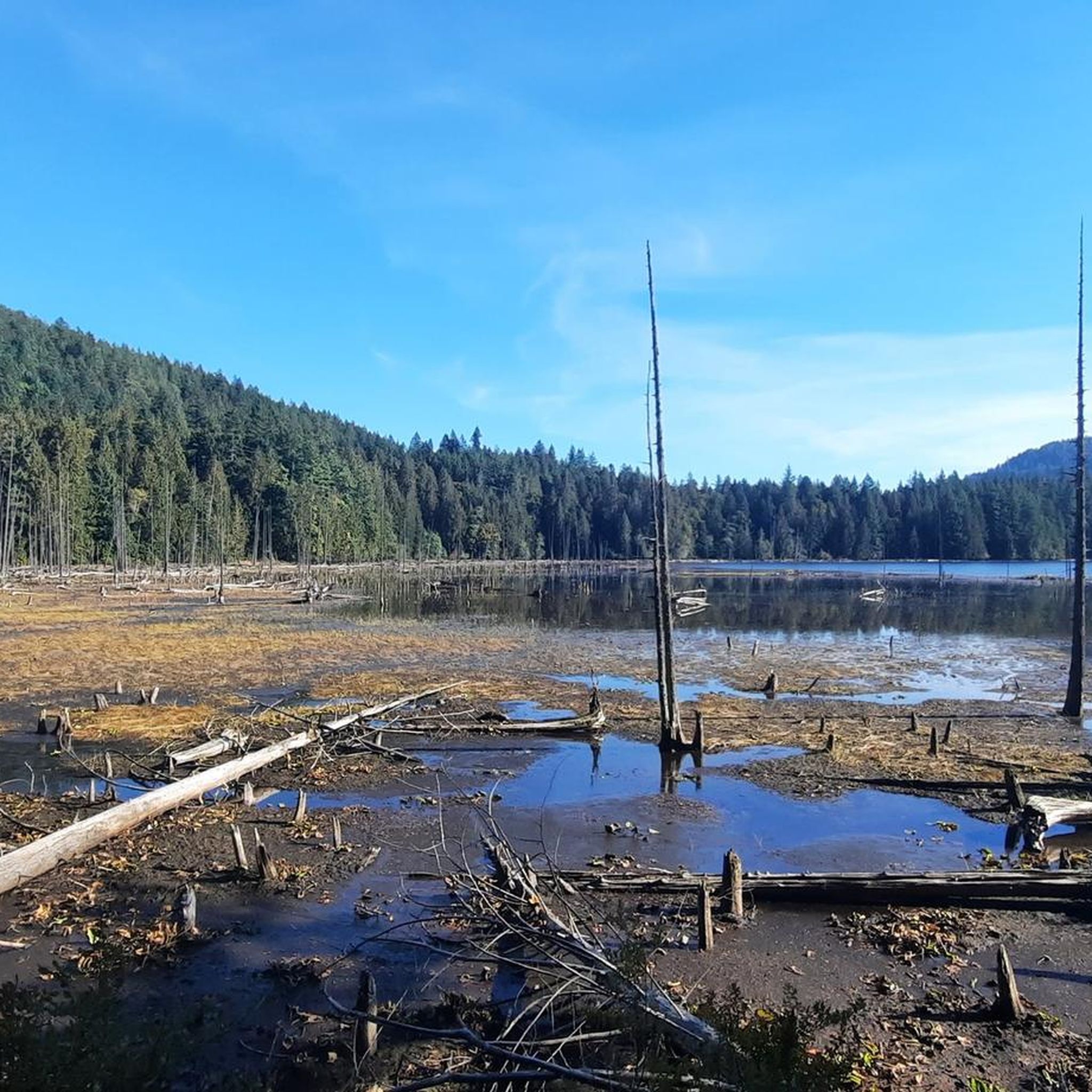
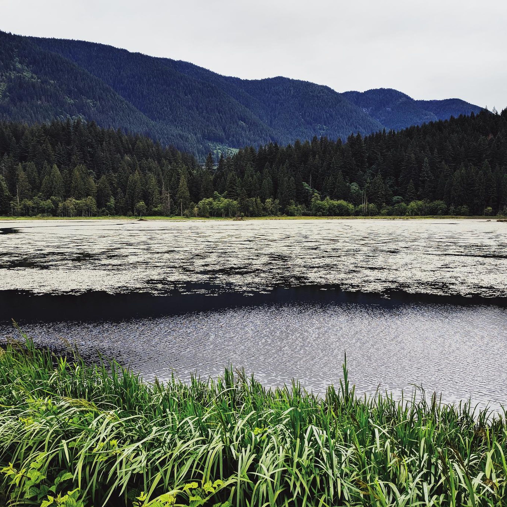
Other adventures in Metro Vancouver Regional Parks

Tips from the Community

So need to use a gravel bike ? Would it be too challenge with road bike?
0
0

As you follow this short flat section of the trail, you will be surrounded by a beautiful mix of tall deciduous and coniferous trees, including big leaf maples, towering red cedars, and ancient Douglas firs.
0
0
Here, the Sasamat Trail meets with the St. Georges Trail. Because the junction is located near the eastern edge of the park, it is highly accessible if you enter from the nearby neighborhood streets like 16th Avenue or Sasamat Street.
0
0
The landmark sits near SW Marine Drive, along the western edge of the park, and it honors the historic 1808 journey of explorer Simon Fraser and John Stuart, who traveled the great Fraser River all the way to the Pacific Ocean. From the monument area, you can look out toward the North Arm of the Fraser River and take in views of the natural landscape.
0
0

Boundary Bay Wildlife Management Area protects a vast stretch of intertidal mudflats, salt marsh, and eelgrass habitat along Boundary Bay. The area supports large numbers of migratory shorebirds and waterfowl, making it one of the most important bird habitats on Canada’s Pacific coast. Its accessible trails, consistent bird activity, and ever-changing tidal scenery make it an especially rewarding place to explore on foot or by bike.
0
0
Boundary Bay Dyke Trail is a long, flat route along the shoreline, with uninterrupted views across mudflats and the open water. Its wide gravel surface is ideal for walking and cycling, with plenty of benches and access points along the way. Set along a major migratory route, the trail is especially known for birdlife and beautiful, expansive coastal scenery.
1
0

Smooth gravel. Beautiful views of Boundary Bay and Mount Baker.
0
0

The Seymour River Suspension Bridge was completed and opened in December 2018. This made it possible to walk the Fisherman's Trail (North) all the way through again. After the former Twin Bridges had to be demolished in 2014 following a rockslide and damming of the Seymour River, there was no longer a crossing at this point in the Lower Seymour Conservation Reserve. The Twin Bridges were originally built in 1908 to carry pipelines and were later supplemented by a parallel pedestrian bridge. Years later, the two bridges were combined to form one bridge. https://www.vancouvertrails.com/blog/seymour-river-suspension-bridge/
2
0
Frequently Asked Questions
How many gravel bike trails are available in Metro Vancouver Regional Parks?
There are over 50 gravel bike trails in Metro Vancouver Regional Parks, offering a wide range of experiences for all skill levels. This includes 15 easy routes, 27 moderate routes, and 15 more challenging options.
What kind of terrain can I expect on gravel bike trails in Metro Vancouver Regional Parks?
You'll find diverse terrain, from lush forested areas and quiet paths through wooded sections to scenic river dikes and coastal routes. Many trails feature a mix of paved and unpaved surfaces, providing engaging rides without the technical demands of mountain biking. Expect smooth gravel paths, especially in areas like Widgeon Marsh Regional Park Reserve, and some routes with significant elevation gains in hilly areas.
Are there any family-friendly gravel biking routes in Metro Vancouver Regional Parks?
Yes, several routes are suitable for families. The Fort-to-Fort Trail – Derby Reach Regional Park loop from Golden Ears Bridge is an easy 10.6-mile (17.0 km) gravel loop, perfect for all fitness levels. Another great option is the Fort-to-Fort Trail – Derby Reach Regional Park loop from Fort Langley National Historic Site, which is also an easy 11.7-mile (18.8 km) path through a regional park.
What are some challenging gravel bike trails for experienced riders?
For more adventurous cyclists, the region offers routes with significant elevation gains. While not explicitly listed in the guide data, the Region Research mentions challenging mountainous terrain like the Grouse Mountain Highway or Mount Seymour, which offer substantial climbs on rough gravel roads with rewarding views. Within the guide, the Pitt River Dike Trail – Pitt River Bridge loop from Port Haney is a moderate 34.4-mile (55.4 km) trail that provides a longer, more enduring ride through riverine environments.
Are there gravel bike trails with scenic viewpoints or natural features?
Absolutely. Many trails offer stunning views and natural features. The West Dyke Trail in Richmond provides incredible views of the ocean and the North Shore Mountains. For coastal vistas, consider the View of English Bay – Jericho Beach Park loop from West Point Grey. You can also explore highlights like the Pacific Spirit Regional Park for immersive forest experiences or the Centennial Beach for ocean views.
What kind of attractions can I find along or near the gravel bike trails?
Beyond the trails themselves, you can discover various natural and man-made attractions. Highlights include the impressive Capilano Suspension Bridge, the serene Kennedy Falls, and the ancient Ancient Cedar Tree in Lynn Headwaters Regional Park. For those interested in water features, there's Burnaby Lake Wetlands or Killarney Lake.
What do other gravel bikers enjoy most about riding in Metro Vancouver Regional Parks?
The area is highly rated by the komoot community, with an average score of 4.6 stars from over 190 reviews. Riders often praise the diverse landscapes, from lush forests to scenic dikes, and the variety of terrain that keeps rides engaging. The feeling of being immersed in nature while still close to the city is also a frequently mentioned highlight.
Are there any loop trails for gravel biking in the region?
Yes, many gravel routes in Metro Vancouver Regional Parks are designed as loops. Examples include the Fort-to-Fort Trail – Derby Reach Regional Park loop from Golden Ears Bridge and the Pitt River Dike Trail – Pitt River Bridge loop from Port Haney, offering convenient circular journeys.
What is the best time of year for gravel biking in Metro Vancouver Regional Parks?
Gravel biking is enjoyable year-round, but spring and fall offer particularly pleasant conditions with moderate temperatures and vibrant scenery. Summer is also excellent, though some trails might be busier. Even in winter, many trails remain accessible, especially the lower elevation dikes and forested paths, providing a unique, quieter experience.
Are there any gravel bike trails that offer coastal views?
Yes, for rides with ocean vistas, the West Dyke Trail in Richmond is a popular gravel route along Sturgeon Banks, offering incredible views of the ocean and the North Shore Mountains. Another option is the View of English Bay – Spanish Banks loop from West Point Grey, which provides moderate gravel riding with stunning coastal scenery.
Can I find trails suitable for refining my gravel biking skills?
The Lower Seymour Conservation Reserve, particularly the Fisherman's Trail, is an ideal place to refine gravel biking skills. It offers beautiful scenery alongside the Seymour River and a mix of terrain that can help riders improve their technique.
Most popular routes in Metro Vancouver Regional Parks
Most popular attractions in Metro Vancouver Regional Parks

Get inspired with the komoot mobile app


Explore more
Browse the best Gravel rides in other regions.
