The best road cycling routes in Metro Vancouver Regional Parks
4.5
(384)
18,582
riders
283
rides
Road cycling in Metro Vancouver Regional Parks offers diverse landscapes, from flat coastal paths to challenging mountain climbs. The region features 23 regional parks and an extensive greenway network, protecting natural areas such as forests, rivers, beaches, and wetlands. Cyclists can find paved routes separated from vehicle traffic, providing varied terrain for different skill levels. The area is characterized by its blend of urban proximity and natural escapes, with routes often providing views of the North Shore Mountains and the Pacific Ocean.
Best road cycling routes in Metro Vancouver Regional Parks
- The most popular road cycling route is Granville Island Public Market – View of English Bay loop from University of British Columbia, a 19.0 miles (30.5 km) trail that takes 1 hour 30 minutes to complete. This moderate route offers urban and coastal views, connecting key Vancouver landmarks.
- Another top favourite among local road cyclists is Good Trail loop from Sperling–Burnaby Lake, a difficult 35.5 miles (57.1 km) path. This route features significant elevation gain, traversing varied terrain around Burnaby Lake.
- Local road cyclists also love the Spanish Banks Climb – Steveston Channel loop from University of British Columbia, a 39.4 miles (63.4 km) trail leading through coastal areas and along the Fraser River, often completed in about 2 hours 41 minutes.
- Road cycling in Metro Vancouver Regional Parks is defined by coastal paths, forested greenways, and challenging climbs, with options for easy family rides as well as more advanced routes. The network offers options for different ability levels, from flat loops to routes with significant elevation gain.
- The routes in Metro Vancouver Regional Parks are highly rated by the komoot community with an average score of 4.5 stars from over 380 reviews. More than 19,000 road cyclists have used komoot to explore Metro Vancouver Regional Parks's varied terrain.
Last updated: July 5, 2026
4.6
(9)
316
riders
Moderate road ride. Great for any fitness level. Some segments of this route may be unpaved and difficult to ride.
4.2
(5)
193
riders
56.5km
02:57
930m
930m
Hard road ride. Very good fitness required. Some segments of this route may be unpaved and difficult to ride.

Sign up for free
111
riders
Moderate road ride. Good fitness required. Mostly well-paved surfaces and easy to ride.
89
riders
Moderate road ride. Great for any fitness level. Some segments of this route may be unpaved and difficult to ride.
33
riders
Moderate road ride. Good fitness required. Mostly well-paved surfaces and easy to ride.
Get access to more routes and recommendations from other explorers.
Sign up for free
Already have an account?
Our route recommendations are based on thousands of hikes, rides, and runs completed by other people on komoot.
Start today with a free account
Your next adventure awaits.
Login or Signup
Popular around Metro Vancouver Regional Parks

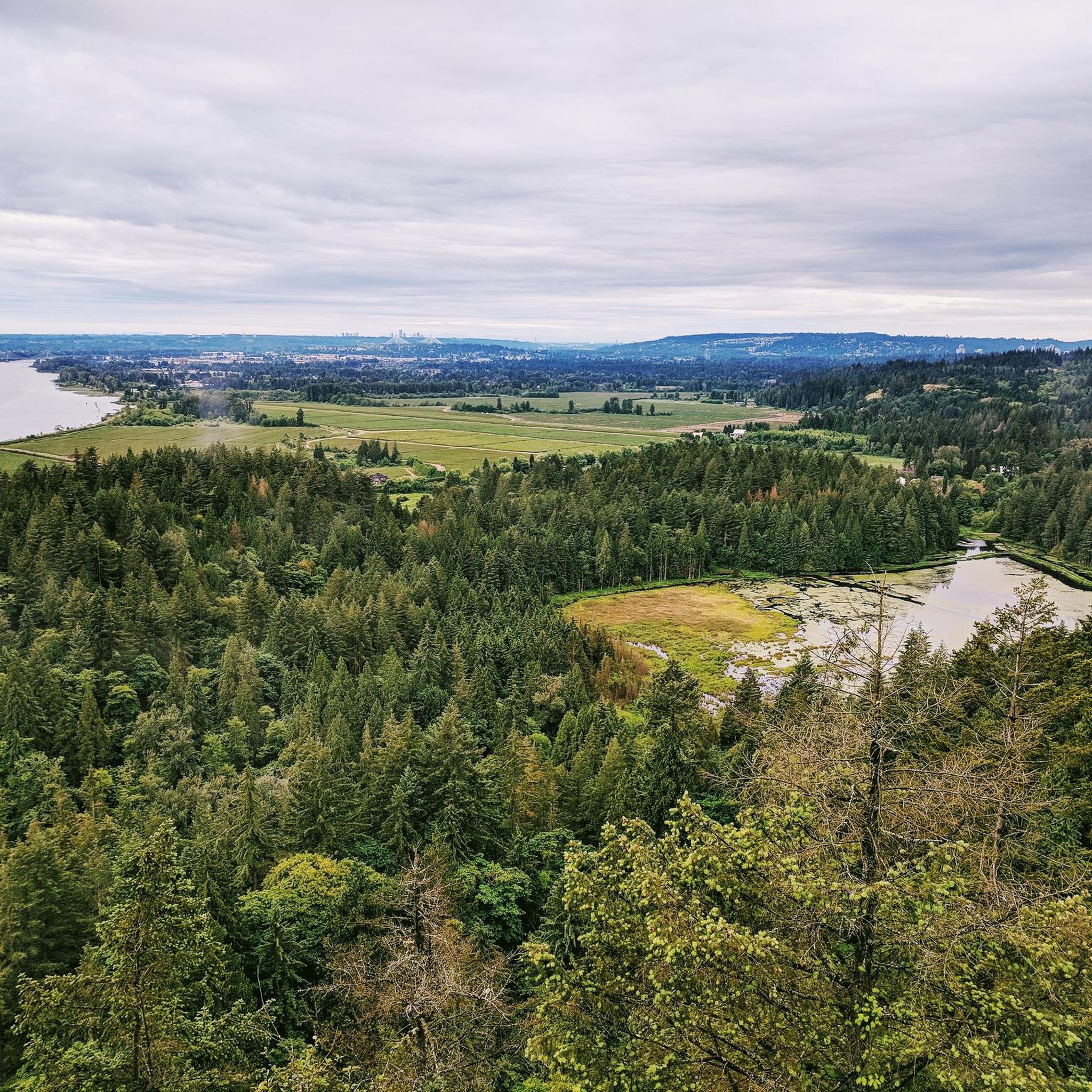
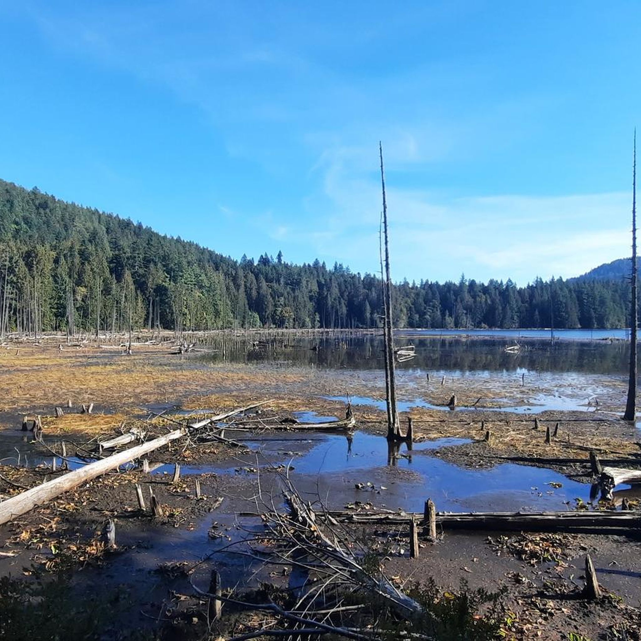
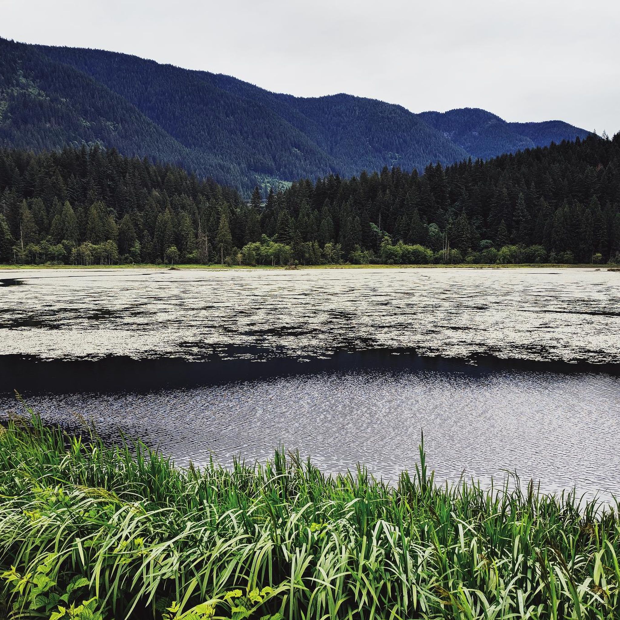
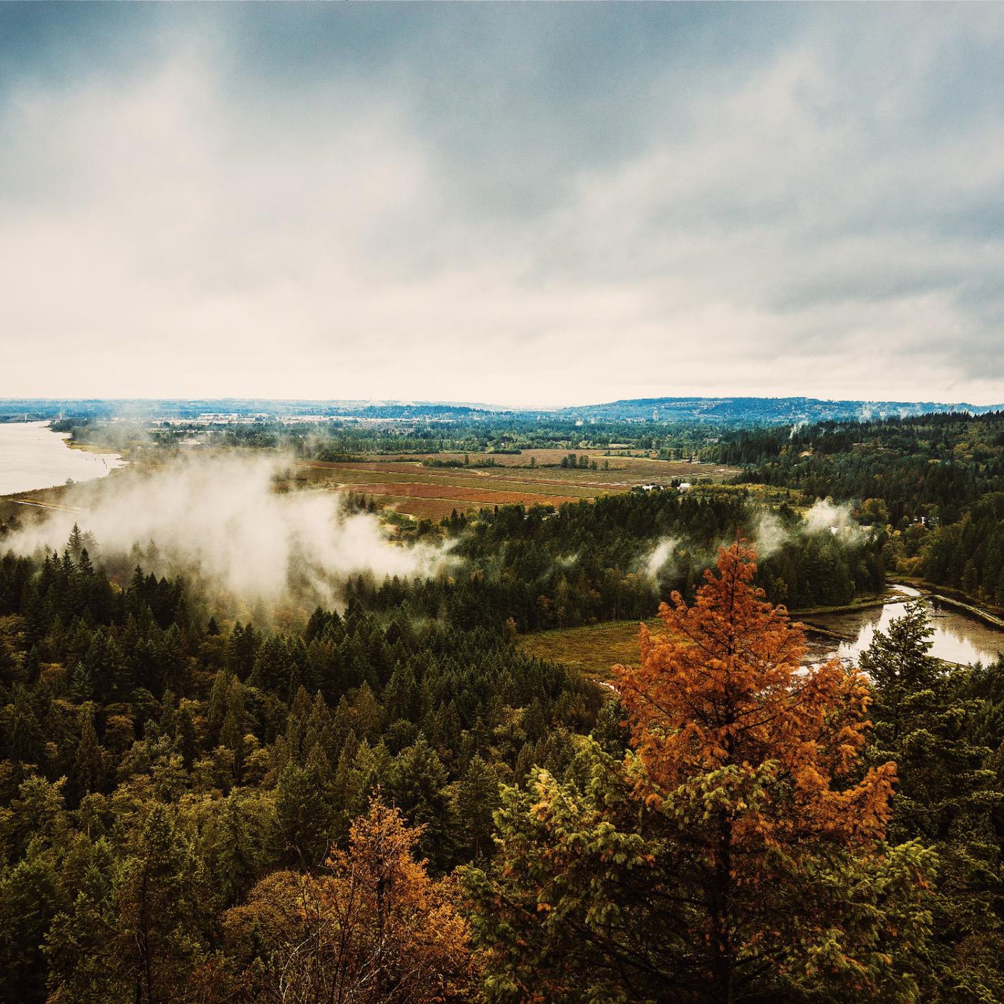

Other adventures in Metro Vancouver Regional Parks

Tips from the Community

Also known as the Harry Jerome Sports Centre, you can play volleyball here and the indoor cycling track has an incredible banked wooden oval. If it's open, the velodrome is well worth a step inside to see the cycling track if nothing else.
0
0

Here, the Sasamat Trail meets with the St. Georges Trail. Because the junction is located near the eastern edge of the park, it is highly accessible if you enter from the nearby neighborhood streets like 16th Avenue or Sasamat Street.
0
0
The landmark sits near SW Marine Drive, along the western edge of the park, and it honors the historic 1808 journey of explorer Simon Fraser and John Stuart, who traveled the great Fraser River all the way to the Pacific Ocean. From the monument area, you can look out toward the North Arm of the Fraser River and take in views of the natural landscape.
0
0

The Railway Greenway is built on the former Lulu Island route of the BC Electric Railroad, which ran from 1905 to 1958. Today, this greenway stretches 5 kilometres from the Britannia Shipyards to where it meets the Middle Arm Dyke Recreational Trail. Along the route, there is a bike pump track, public bathrooms, drinking fountains, community gardens, and bike racks.
0
0
The Railway Granville Bike Park is centred around a pump track, which is great for kids and beginner bikers. The track is paved with coloured lines that are easy to follow and keep bike traffic flowing safely. This park has benches, a water fountain, street parking but minimal shade, and no restroom. Restrooms can be found across the street at the Thompson Community Centre.
0
0

təmtəmíxʷtən/Belcarra Regional Park sits covers 1,100 hectares (2,700 acres) and offers a mix of beaches, shaded trails, and calm lake swimming. You can explore cool, mossy glades beneath towering trees, wander shoreline paths, or head inland to Sasamat Lake, known for its warm summer water and family‑friendly beaches. The parks name, given by the Tsleil‑Waututh Nation, means “the biggest place for all the people,” and the land still holds a high place in their history and culture.
0
0

The Vancouver Maritime Museum focuses on Pacific Northwest and Arctic maritime history, including the historic RCMP schooner St. Roch, the first vessel to circumnavigate North America. The museum is generally open Tuesday to Sunday from 10:00 am to 5:00 pm, and general admission is about $22 for adults, with free entry for children under 5, and a monthly “pay-what-you-can” day on the first Sunday. Exhibits include coastal navigation, shipbuilding, and the region’s ocean-going heritage.
0
0

Really super nice sculptures
3
0
Frequently Asked Questions
How many road cycling routes are available in Metro Vancouver Regional Parks?
Metro Vancouver Regional Parks offers over 300 road cycling routes, catering to a wide range of skill levels. These routes are highly rated by the komoot community, with an average score of 4.5 stars.
Are there easy road cycling routes suitable for beginners or families?
Yes, the region provides many easy, flat routes perfect for beginners and families. For example, Granville Island Public Market – View of English Bay loop from University of British Columbia is a moderate route that offers urban and coastal views. Additionally, Barnston Island Regional Park features a popular, flat 10 km paved loop, ideal for family rides, accessible by a free ferry. Iona Beach Regional Park and Boundary Bay Regional Park also offer long, flat stretches perfect for leisurely rides.
What are some challenging road cycling routes for experienced riders?
For experienced road cyclists seeking a challenge, the Mount Seymour Road Climb is a notable option, offering a significant elevation gain of 920 meters over 12 kilometers with gradients exceeding 10%. Another difficult route is the Good Trail loop from Sperling–Burnaby Lake, which features substantial elevation gain over its 57 km length.
What kind of scenic viewpoints can I expect along the road cycling routes?
Road cycling in Metro Vancouver Regional Parks offers diverse scenic viewpoints. You can enjoy stunning vistas of the North Shore Mountains, Burrard Inlet, the Strait of Georgia, and the Vancouver skyline. Routes along the Fraser River, such as those near Barnston Island, provide tranquil water views, while coastal parks like Iona Beach and Boundary Bay offer expansive ocean horizons and refreshing sea breezes.
Are there any loop trails for road cycling in Metro Vancouver Regional Parks?
Yes, many road cycling routes in the region are designed as loops. For instance, the Spanish Banks Climb – Steveston Channel loop from University of British Columbia is a popular 63 km loop. Barnston Island also offers a flat 10 km paved loop, and the Tynehead Perimeter Trail is a 4 km paved loop within Tynehead Regional Park.
What are some interesting landmarks or attractions to see along the routes?
Many routes pass by or near notable landmarks. You can find attractions like the Grouse Mountain, the Seymour River Suspension Bridge, and the Cleveland Dam. The Tynehead Pedestrian Overpass is also a key cycling link offering unique views.
What is the best time of year for road biking in Metro Vancouver?
The Metro Vancouver region generally offers good road cycling conditions for much of the year. Spring and fall provide pleasant temperatures and vibrant scenery. Summer is excellent for clear skies and longer daylight hours. While winter can bring rain, many paved routes remain accessible, especially in lower elevations, allowing for year-round cycling with appropriate gear.
Are there road cycling routes that offer a forest experience?
Absolutely. Parks like Pacific Spirit Regional Park immerse riders in lush, green canopies, providing a sense of remoteness close to the city. The Seymour Valley Trailway in North Vancouver also offers a paved, car-free multi-use trail through a rainforest, leading to the Seymour Dam, providing a peaceful escape.
What do other road cyclists enjoy most about the routes in Metro Vancouver Regional Parks?
The komoot community highly rates the road cycling experience in Metro Vancouver Regional Parks, with an average score of 4.5 stars from over 380 reviews. Cyclists often praise the diverse terrain, from flat coastal paths to challenging mountain climbs, the extensive network of paved and separated routes, and the stunning natural beauty, including ocean views, mountain vistas, and lush forests.
Are there any routes that connect to urban areas or the Seawall?
Yes, many routes offer excellent urban and coastal connectivity. While not exclusively within a regional park, the 28 km Seaside Greenway/Seawall around downtown Vancouver, Coal Harbour, and Stanley Park is a highly popular and scenic route that connects to the broader regional cycling network, offering breathtaking city and ocean views.
Can I find routes with significant elevation gain for training?
Yes, for those looking for significant elevation gain, the Mount Seymour Road Climb is a prime choice, ascending 920 meters over 12 kilometers. The Good Trail loop from Sperling–Burnaby Lake also features nearly 940 meters of elevation gain, making it a challenging option for training.
Are there any routes near lakes or rivers?
Yes, you can find routes that offer views of various lakes and rivers. For example, the Good Trail loop from Sperling–Burnaby Lake traverses varied terrain around Burnaby Lake. Cycling along the Fraser River in areas like Barnston Island and Derby Reach Regional Park provides tranquil water views. The Cleveland Dam at Capilano River Regional Park is also a scenic stopping point.
Most popular routes in Metro Vancouver Regional Parks
Most popular attractions in Metro Vancouver Regional Parks

Get inspired with the komoot mobile app


Explore more
Browse the best Road cycling routes in other regions.
