The best gravel rides in Boschetto A Tasso Presso Montecavallo
5.0
(5)
77
riders
17
rides
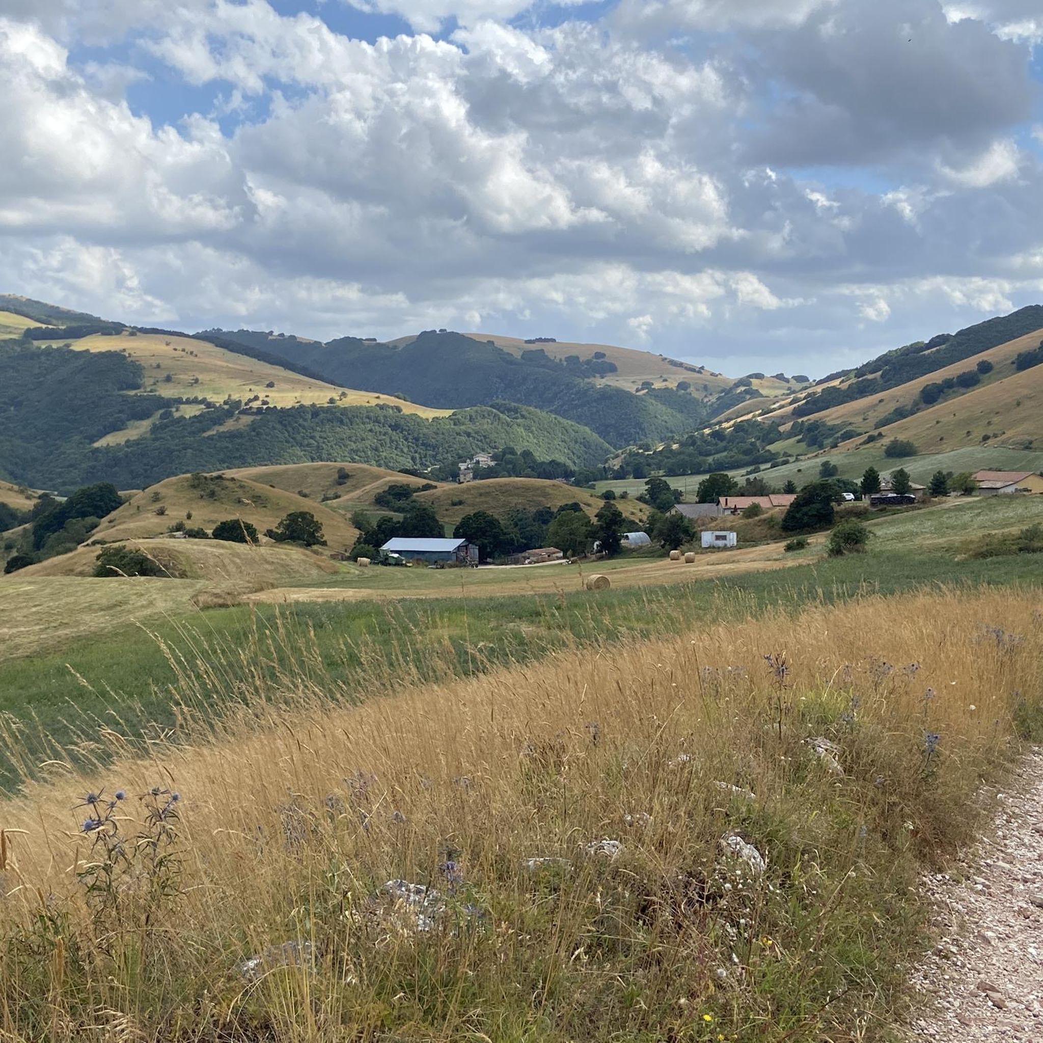
Gravel biking in Boschetto A Tasso Presso Montecavallo offers diverse terrain within a protected Special Area of Conservation (SAC) and Site of Community Importance (SCI). The region is characterized by calcareous rock formations and elevations between 1,000 and 1,210 meters above sea level on the northern slopes of Monte Cavallo. Riders can explore preserved beech forests, ancient yew trees, and various natural habitats including dry semi-natural grasslands and calcareous heathlands. This varied landscape provides a mix of challenging climbs and…
Last updated: July 4, 2026
5.0
(2)
20
riders
79.9km
05:58
1,430m
1,430m
Hard gravel ride. Very good fitness required. Mostly paved surfaces. Suitable for all skill levels.
12
riders
94.5km
07:12
1,910m
1,910m
Hard gravel ride. Very good fitness required. Mostly paved surfaces. Suitable for all skill levels.

Sign up for free
4
riders
60.6km
05:08
1,550m
1,550m
Hard gravel ride. Very good fitness required. Mostly paved surfaces. Suitable for all skill levels.
6
riders
37.6km
02:48
810m
810m
Hard gravel ride. Very good fitness required. Mostly paved surfaces. Suitable for all skill levels.
9
riders
45.2km
03:48
1,090m
1,090m
Hard gravel ride. Very good fitness required. Mostly paved surfaces. Suitable for all skill levels.
Get access to more routes and recommendations from other explorers.
Sign up for free
Already have an account?
Our route recommendations are based on thousands of hikes, rides, and runs completed by other people on komoot.
Start today with a free account
Your next adventure awaits.
Login or Signup
Popular around Boschetto A Tasso Presso Montecavallo
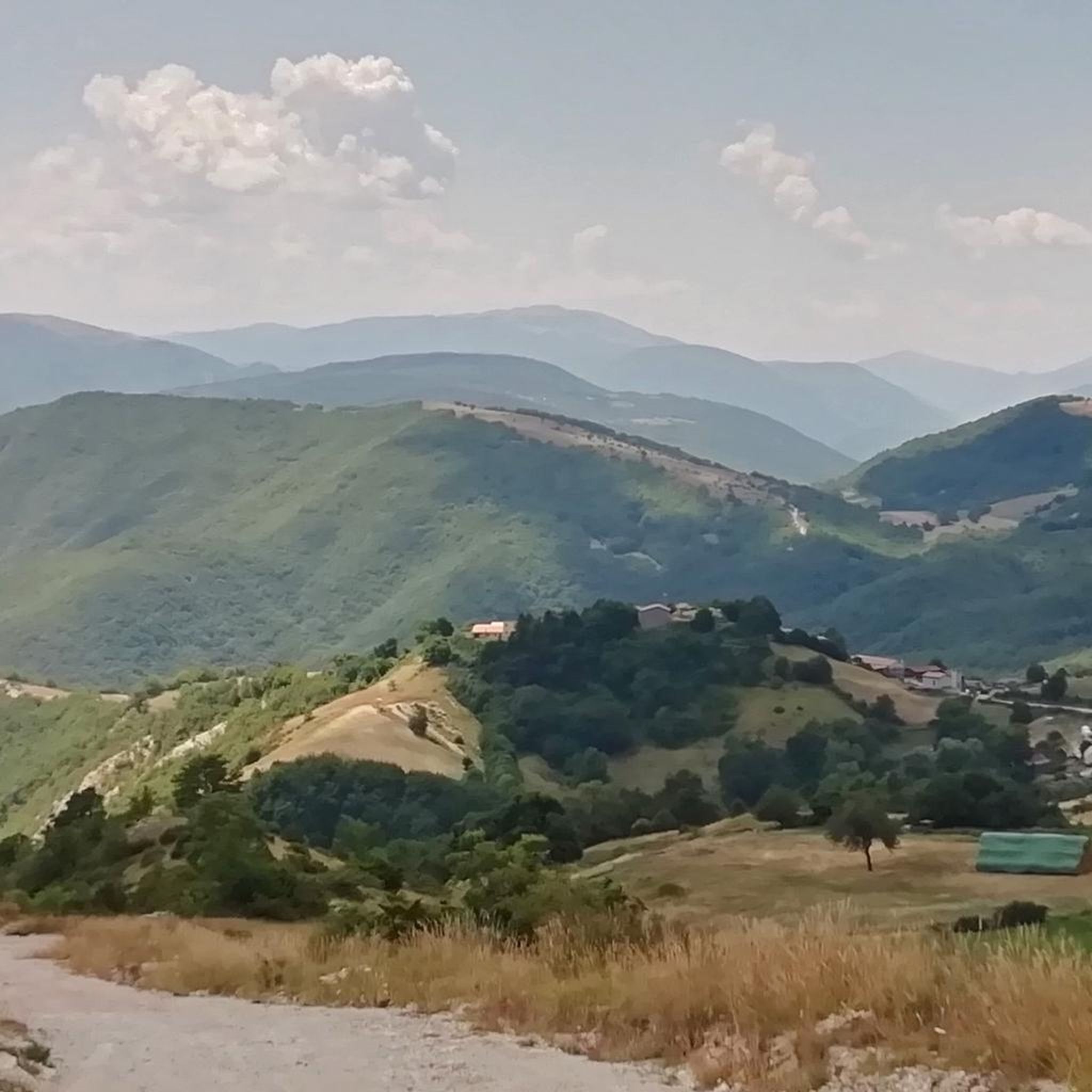
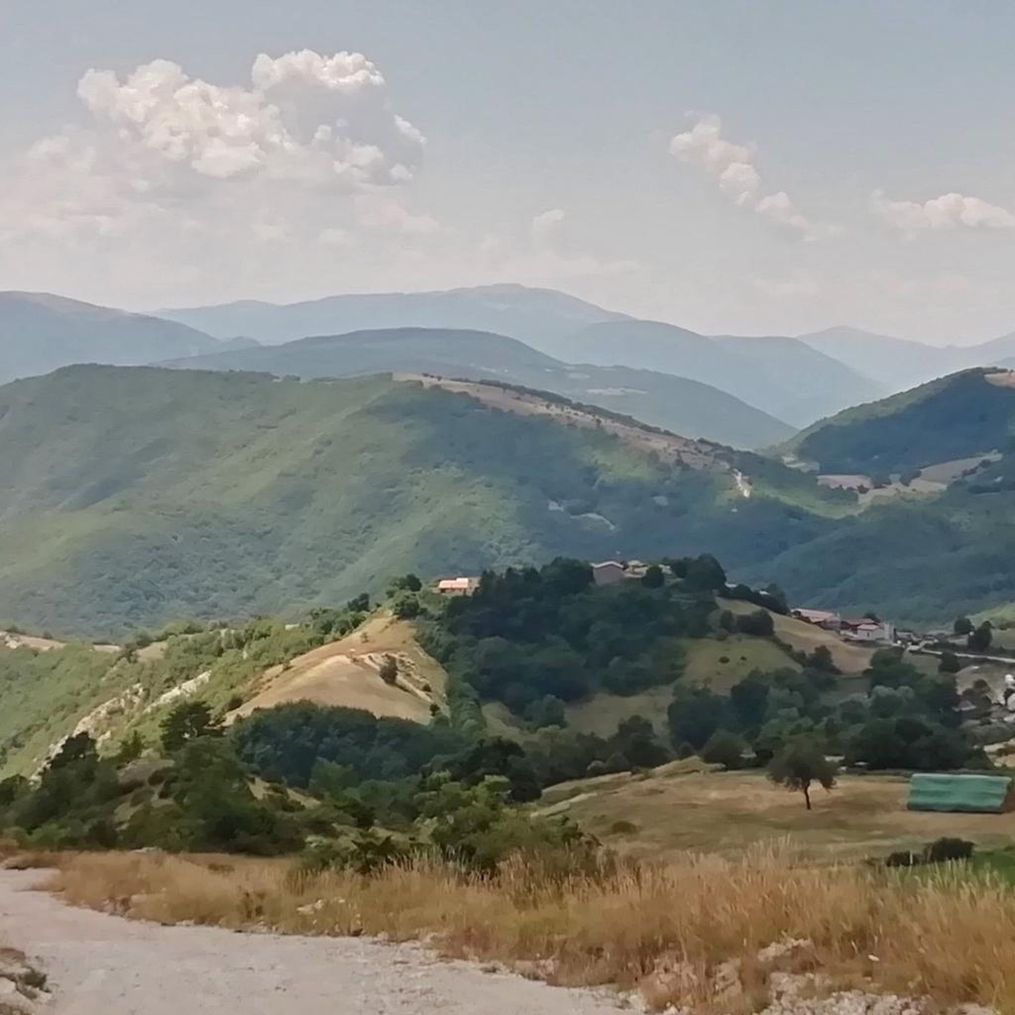
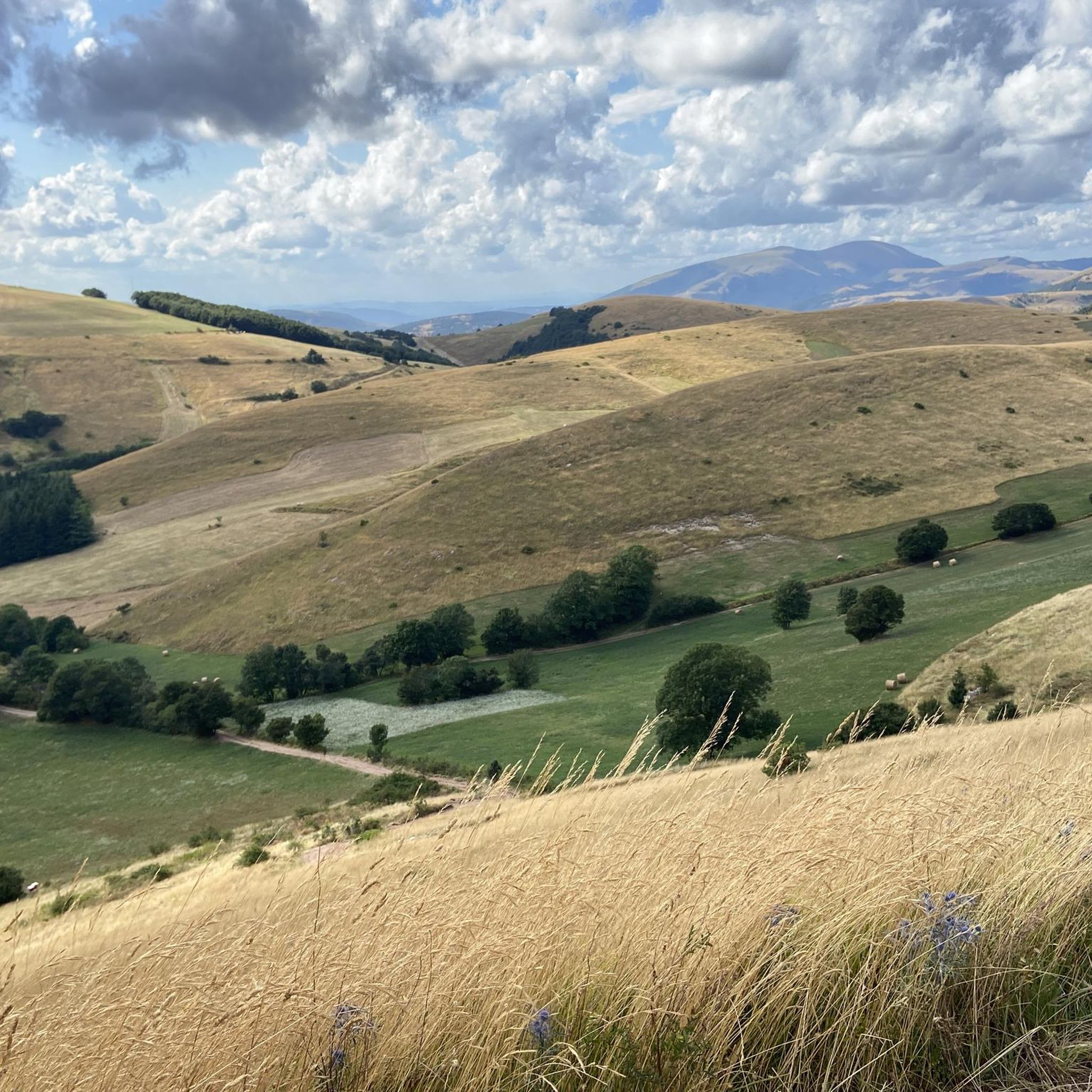
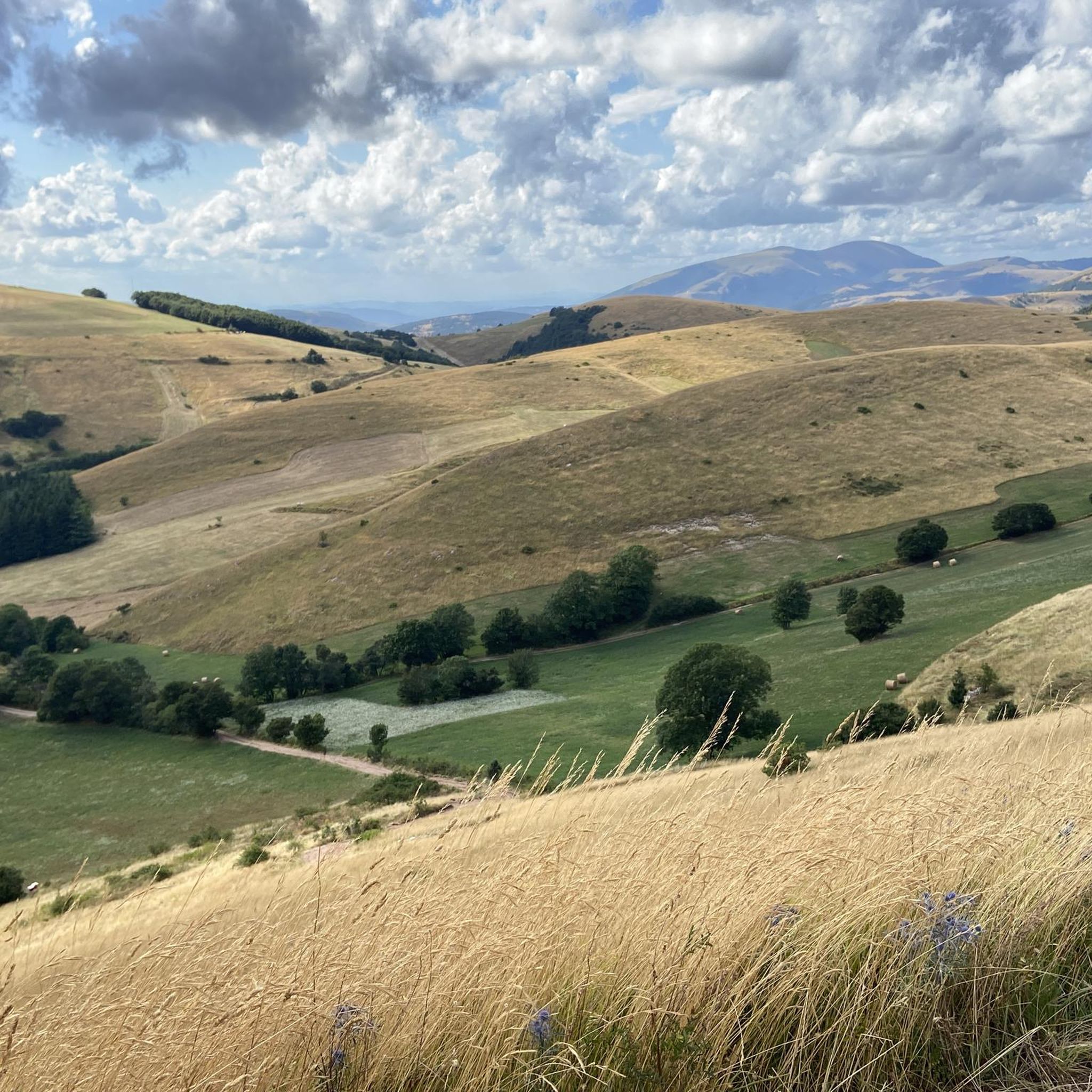
Tips from the Community

A WONDERFUL SMALL VILLAGE THAT WILL LEAVE YOU OPEN-MOUTHED
0
0

Beautiful gravel dirt road... if you go straight it becomes MTB you need to go to the right
1
0


RASIGLIA is a micro village crossed by streams and canals. It can be visited in a few minutes, but it is worth the detour. A bit chaotic to walk there during the weekends, because it is packed with tourists.
0
0

A beautiful town on the border with Abruzzo.
14
0

Colfiorito is the largest town on the vast plateau of about 300 hectares where it is located, at an altitude of 781 m above sea level, along the Strada statale 77 della Val di Chienti that connects Foligno to Civitanova Marche; part of the plateau falls within the territory of the municipality of Serravalle di Chienti, in the province of Macerata. The karst plateau derives from the draining of seven lake basins, of which only the marsh remains. Colfiorito, according to Istat data from the 2001 census, has about 400 residents. If you want to continue on internal roads that lead back to Foligno instead of returning on the SS 77 (a bit busy) you pass through the town and from there you move among the beautiful green and fresh hills.
3
0
Frequently Asked Questions
What is the general difficulty level of gravel biking in Boschetto A Tasso Presso Montecavallo?
Gravel biking in Boschetto A Tasso Presso Montecavallo is generally challenging. Out of 12 available routes, 11 are rated as difficult, with significant elevation gains. For example, the Colfiorito Lake – Menotre River in Rasiglia loop from Colfiorito covers 94.9 km with nearly 2000 meters of ascent.
Are there any family-friendly gravel bike routes in the area?
The routes in Boschetto A Tasso Presso Montecavallo are predominantly rated as difficult, featuring substantial climbs and distances. While the region offers diverse terrain, most routes may be too challenging for younger children or families seeking an easy ride. It's best suited for experienced gravel bikers.
What is the best time of year to go gravel biking in Boschetto A Tasso Presso Montecavallo?
The region, with its elevations between 1,000 and 1,210 meters, is ideal for gravel biking during spring, early summer, and autumn. These seasons offer pleasant temperatures and vibrant natural scenery, from orchid blooms in spring to the rich colors of autumn. Winter can bring snow and colder conditions, making some trails impassable.
Are dogs allowed on the gravel bike trails in Boschetto A Tasso Presso Montecavallo?
The Boschetto A Tasso Presso Montecavallo area is a Special Area of Conservation, known for its rich biodiversity. While specific regulations for dogs on gravel trails are not detailed, it's generally advisable to keep dogs on a leash to protect local wildlife and ensure their safety, especially given the varied terrain and potential for encountering other outdoor enthusiasts.
Are there any circular gravel bike routes available?
Yes, many of the gravel routes in the area are designed as loops. An example is the Colfiorito Lake – Nocera Umbra loop from Colfiorito, a difficult 59.5 km path that traverses diverse terrain with substantial climbs, offering a complete experience without retracing your steps.
What kind of natural features can I expect to see while gravel biking here?
The region is characterized by unique landscapes, including a relict forest of beech and yew trees, with ancient yew stumps. You'll also encounter calcareous alpine and subalpine grasslands, semi-natural dry grasslands important for orchid blooms, and vast pastures. The geological composition features compact, light-colored calcareous rocks, contributing to distinct habitats.
Are there any viewpoints or scenic spots along the gravel routes?
Yes, the varied terrain and elevations of Boschetto A Tasso Presso Montecavallo offer numerous panoramic views. Many trails provide vistas of the Sibillini mountains and other surrounding peaks, especially from higher points like Poggio Martello. The combination of forest roads and open meadows ensures incredible panoramas throughout your ride.
Where can I park my car when accessing the gravel bike trails?
While specific parking locations for each trail are not listed, routes often start from towns or regional parks like Colfiorito. It is generally recommended to look for designated parking areas in these starting points, which are typically equipped to handle visitors accessing outdoor activities.
What amenities are available near the gravel bike trails in Montecavallo?
The region combines natural areas with towns and villages. While specific amenities like cafes or restaurants directly on the trails are rare, you can find local services in nearby municipalities such as Montecavallo or Colfiorito, which serve as common starting points for many routes. These towns offer opportunities for refreshments and supplies.
What do other gravel bikers enjoy most about gravel biking in Boschetto A Tasso Presso Montecavallo?
The area is highly rated by the komoot community, with an average score of 5.0 stars. Reviewers often praise the diverse terrain, the sense of freedom found on forest roads and open meadows, and the opportunity to immerse themselves in nature. The combination of challenging climbs and scenic descents through unique natural habitats is a major draw.
Are there any routes that pass through historical areas?
Yes, some routes combine natural beauty with historical significance. For instance, the Colfiorito – Basilica of Plestia loop from Colfiorito is a 53.5 km trail that leads through historical areas and natural surroundings, offering a blend of cultural and outdoor exploration.
How many gravel bike trails are there in Boschetto A Tasso Presso Montecavallo?
There are 12 gravel bike trails available for exploration in Boschetto A Tasso Presso Montecavallo. These routes offer a variety of experiences, though most are categorized as difficult due to significant elevation changes and distances.
Most popular routes in Boschetto A Tasso Presso Montecavallo

Get inspired with the komoot mobile app


Explore more
Browse the best Gravel rides in other regions.
