The best walks and hikes in Boschetto A Tasso Presso Montecavallo
4.4
(187)
995
hikers
71
hikes
Hiking in Boschetto A Tasso Presso Montecavallo offers a variety of trails through wooded hills and valleys in the Macerata region. The landscape is characterized by its natural park setting, featuring diverse terrain suitable for outdoor activities. This area provides a mix of moderate and challenging paths, with elevations that offer scenic views of the surrounding countryside.
Best hiking trails in Boschetto A Tasso Presso Montecavallo
- The most popular hiking route is Trail Signpost at Le Cese loop from Col…
Last updated: July 9, 2026
5.0
(3)
12
hikers
Moderate hike. Good fitness required. Easily-accessible paths. Suitable for all skill levels.
4.2
(5)
12
hikers
Moderate hike. Good fitness required. Easily-accessible paths. Suitable for all skill levels.

Sign up for free
5.0
(1)
2
hikers
7.54km
02:32
370m
370m
Moderate hike. Good fitness required. Easily-accessible paths. Suitable for all skill levels.
4.0
(1)
6
hikers
16.9km
05:24
710m
710m
Hard hike. Very good fitness required. Easily-accessible paths. Suitable for all skill levels.
5.0
(2)
44
hikers
13.0km
04:11
570m
570m
Moderate hike. Good fitness required. Easily-accessible paths. Suitable for all skill levels.
Get access to more routes and recommendations from other explorers.
Sign up for free
Already have an account?
Our route recommendations are based on thousands of hikes, rides, and runs completed by other people on komoot.
Start today with a free account
Your next adventure awaits.
Login or Signup
Popular around Boschetto A Tasso Presso Montecavallo
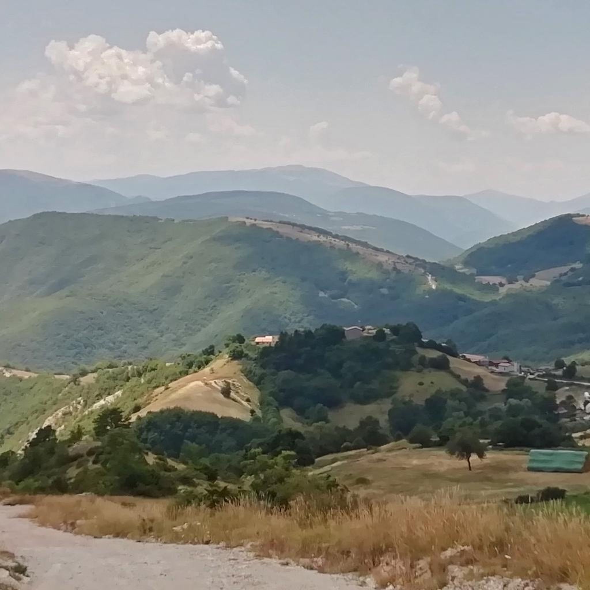
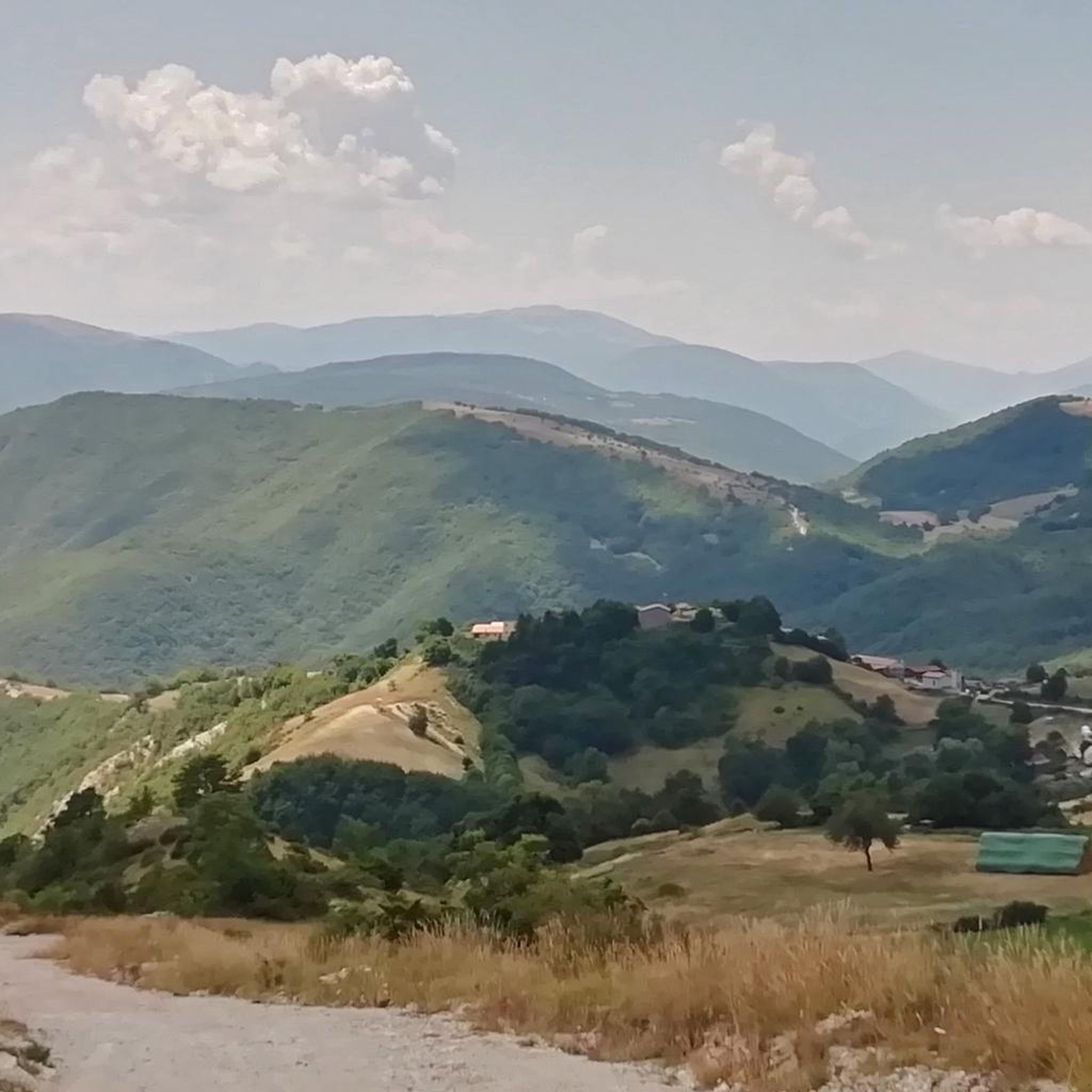
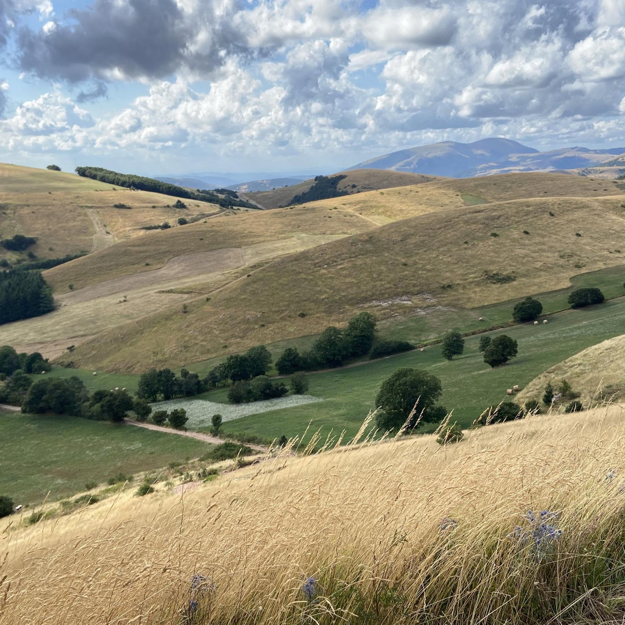
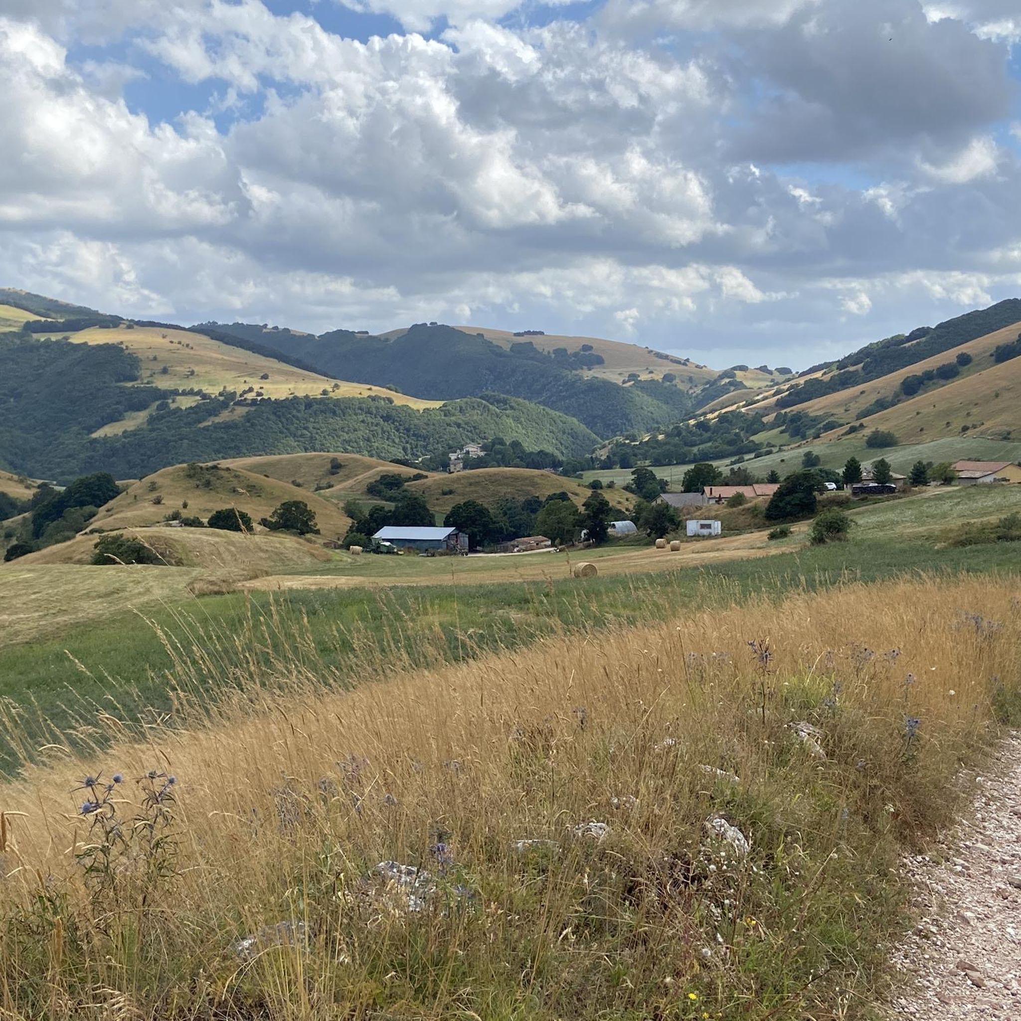

Tips from the Community

From Pantaneto, in the municipality of Monte Cavallo. A stopping point on the Sentiero Italia (Visso-Pantaneto = Pantaneto-Colfiorito). Follow the Sentiero Italia towards Colfiorito or Visso. Following the various signs, you climb up to Monte Cavallo.
0
0
There are several trails in the area that can be combined. Many are described and tracked with GPX files on both Komoot and Wikiloc-Outdooractive. A paper trail map is also available.
0
0
Here you can take the Sentiero Italia to Pantaneto/Visso
0
0
Collattoni, a passage point for the CAI Italian Trail and a starting point for other itineraries in the Monte Cavallo area.
0
0
Interesting route on the old mule track that, going up the stream, reached the springs of Le Vene
0
0
There are currently some cycle/pedestrian itineraries marked in the area
0
0

Panoramic point on the Sibillini mountains and Torricchio-Cetrognola-M.Cavallo
0
0
Frequently Asked Questions
What are the typical durations for hikes in Boschetto A Tasso Presso Montecavallo?
Hikes in this region vary in length. Many popular routes, such as the Trail Signpost at Le Cese loop from Col Mezzano, take around 3 hours 55 minutes. Shorter options like the Pantaneto (Mount Cavallo) loop from Col Mezzano can be completed in about 2 hours 32 minutes, while longer, more challenging trails like the Faggeta di Cima Corno – Collattoni Village loop from Forcella can take over 5 hours.
What are the difficulty levels of hiking trails in Boschetto A Tasso Presso Montecavallo?
The trails offer a range of difficulties. You'll find 14 easy routes, 44 moderate paths, and 5 more difficult ascents, providing options for various fitness levels. The landscape features wooded hills and valleys, with elevations that contribute to the varied challenge.
Are there family-friendly hiking options in Boschetto A Tasso Presso Montecavallo?
Yes, with 14 easy routes available, there are several options suitable for families. These trails typically feature gentler inclines and shorter distances, allowing for an enjoyable outdoor experience with children. Look for routes with lower elevation gains for a more relaxed family outing.
Can I bring my dog on the hiking trails in Boschetto A Tasso Presso Montecavallo?
Generally, dogs are welcome on trails in natural park settings like Boschetto A Tasso Presso Montecavallo, especially if kept on a leash. It's always advisable to check local signage at trailheads for any specific restrictions or protected areas where dogs might not be permitted.
When is the best time of year to go hiking in Boschetto A Tasso Presso Montecavallo?
The best times for hiking are typically spring (April to June) and autumn (September to October). During these seasons, the weather is milder, and the natural scenery, with blooming wildflowers or vibrant fall foliage, is particularly beautiful. Summer can be warm, so early morning or late afternoon hikes are recommended.
Are there many circular hiking routes in Boschetto A Tasso Presso Montecavallo?
Yes, many of the trails in Boschetto A Tasso Presso Montecavallo are designed as circular routes, allowing you to start and end at the same point. Examples include the Trail Signpost at Le Cese – Collattoni Village loop from Collattoni and the Cascine di Monte Cavallo loop from Selvapiana, which offer convenient exploration of the area.
What kind of gear and clothing should I bring for hiking in this region?
Given the varied terrain and potential elevation changes, sturdy hiking boots are essential. Layered clothing is recommended to adapt to changing weather conditions, along with a waterproof jacket. Don't forget water, snacks, a map or GPS device, and sun protection.
Are there good viewpoints or scenic spots along the trails?
The region is characterized by wooded hills and valleys, offering numerous scenic views of the surrounding countryside and local villages. Trails often ascend to points like Mount Cavallo or pass through areas like Faggeta di Cima Corno, providing panoramic vistas of the Macerata landscape.
What do other hikers enjoy the most about hiking in Boschetto A Tasso Presso Montecavallo?
The area is highly rated by the komoot community, with an average score of 4.4 stars from over 150 reviews. Hikers frequently praise the diverse terrain, the peaceful wooded hills, and the well-maintained paths that offer a rewarding outdoor experience.
Is parking available at the trailheads in Boschetto A Tasso Presso Montecavallo?
While specific parking areas are not detailed for every trailhead, it is generally possible to find parking in or near the small villages and starting points of the routes, such as Col Mezzano or Collattoni. Look for designated parking signs or suitable roadside spots.
What kind of wildlife might I encounter while hiking?
As a natural park setting, Boschetto A Tasso Presso Montecavallo is home to various wildlife. You might spot common forest animals like deer, wild boar, and various bird species. Keep an eye out for local flora and fauna, especially in the quieter, more secluded sections of the trails.
Most popular routes in Boschetto A Tasso Presso Montecavallo

Get inspired with the komoot mobile app


Explore more
Browse the best Hikes in other regions.
