The best gravel rides in Mittlerer Schurwald
4.5
(264)
1,205
riders
169
rides
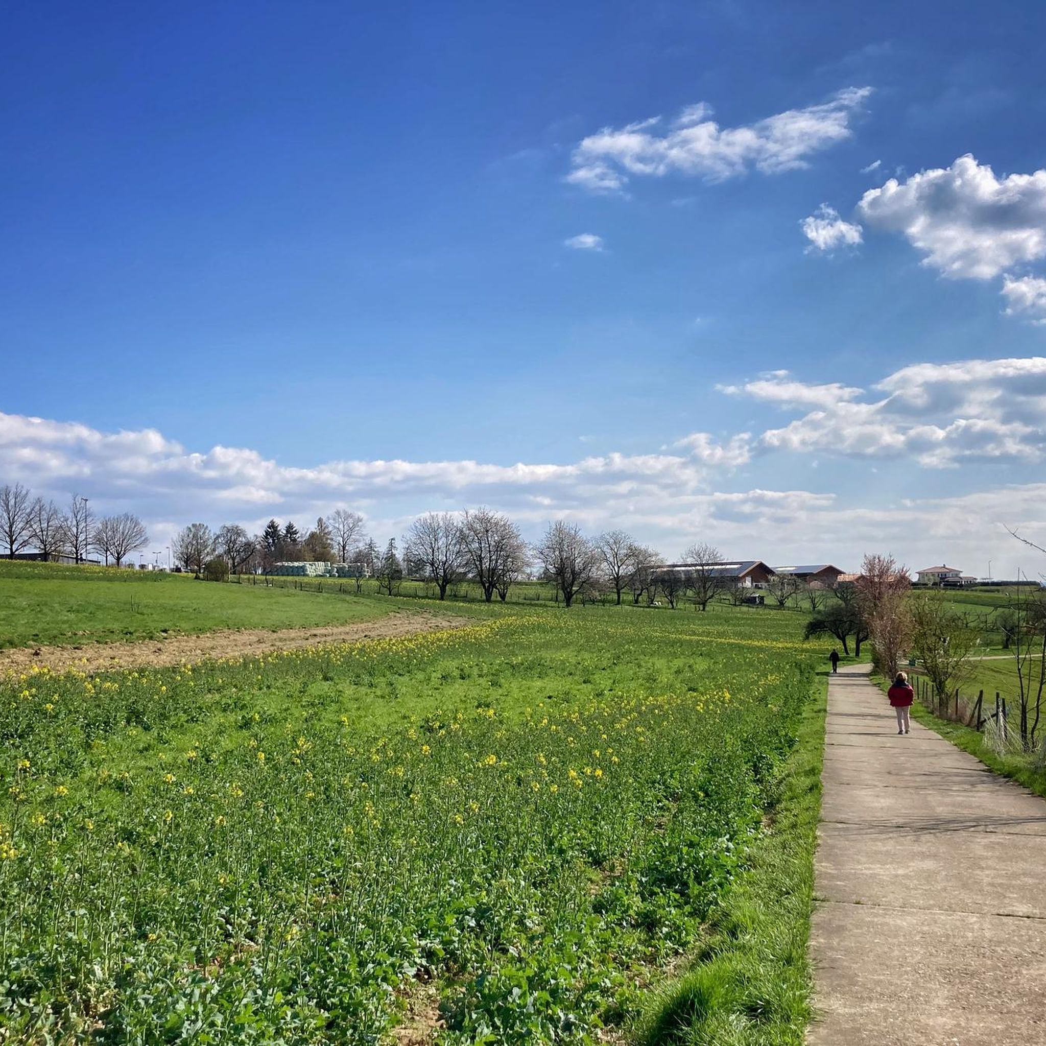
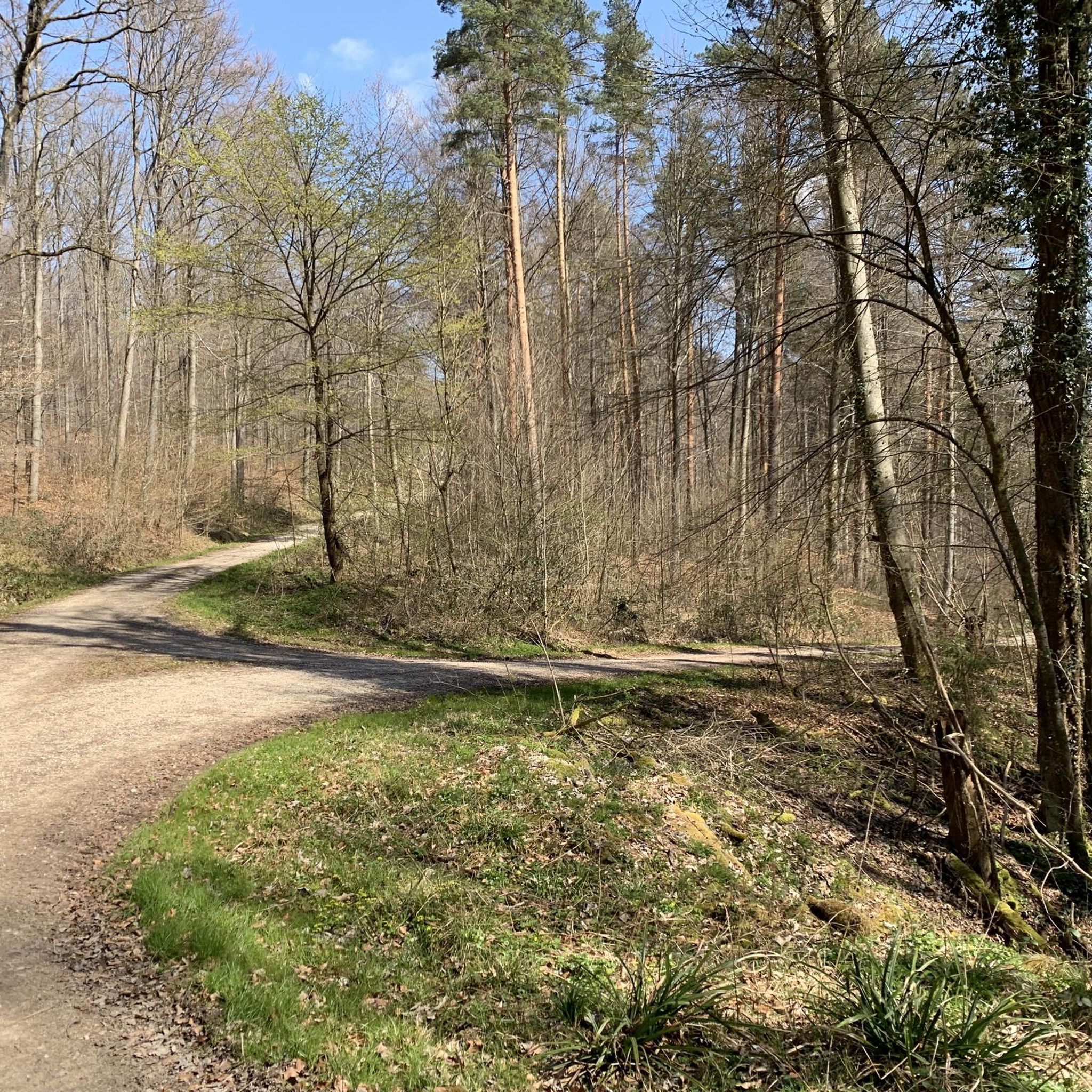
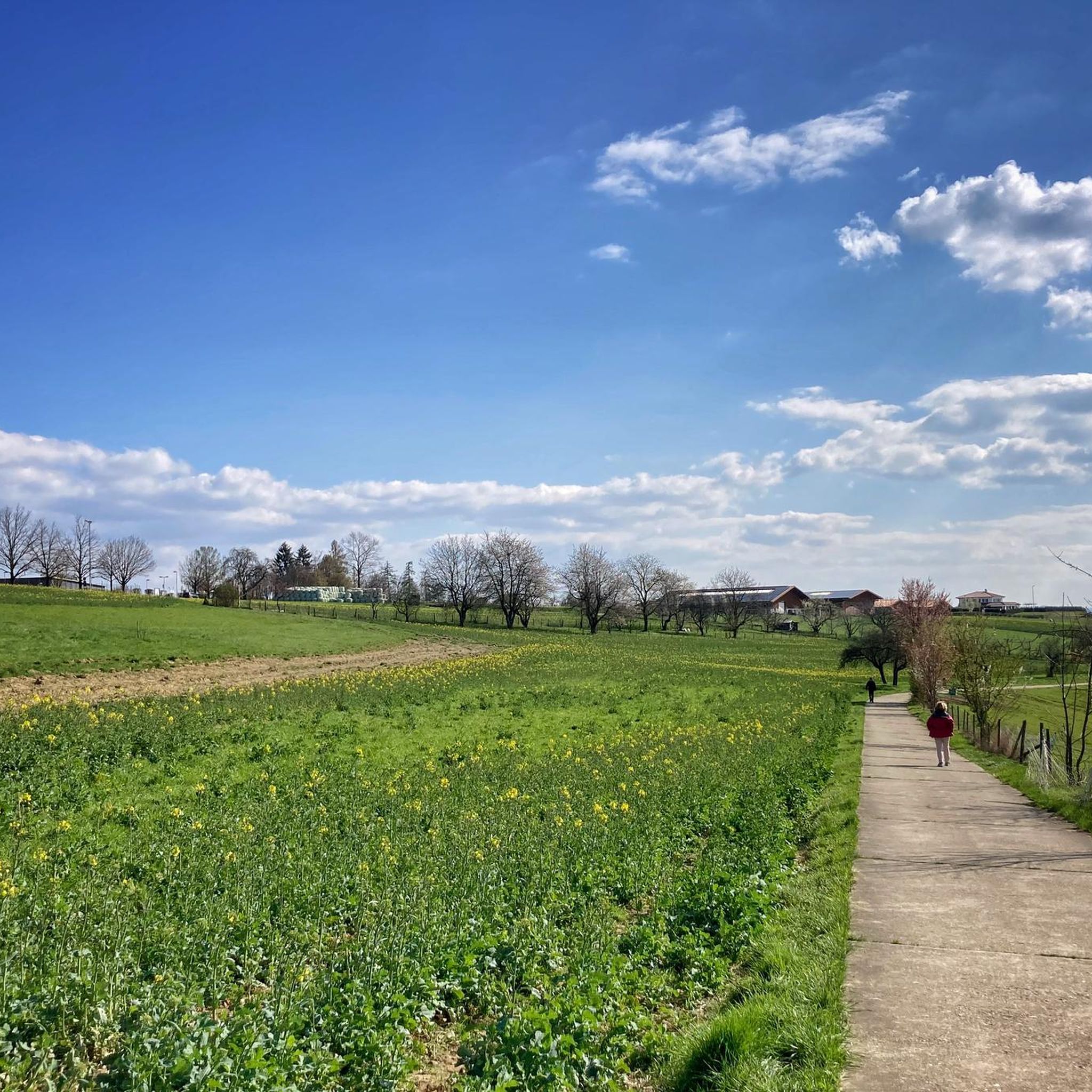
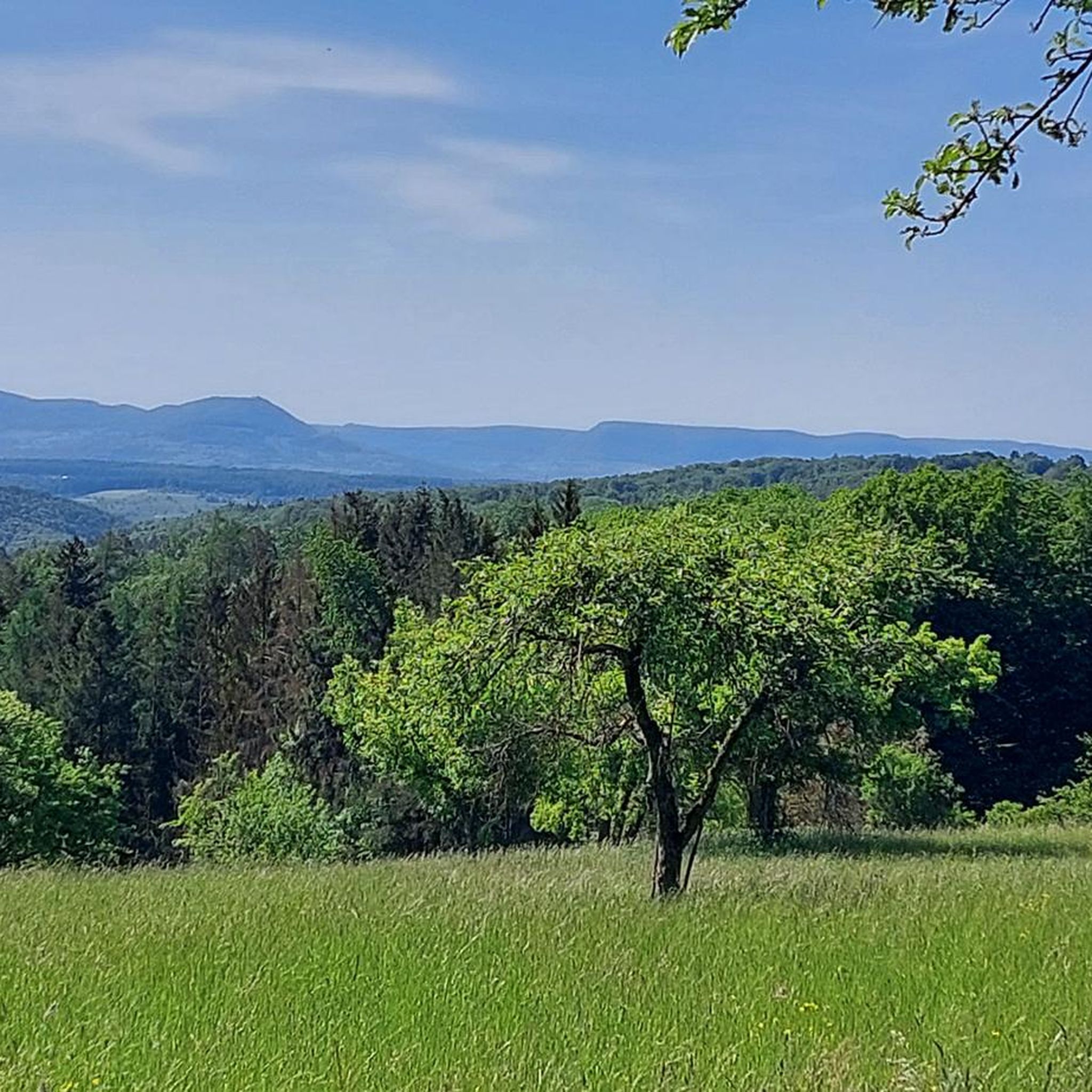
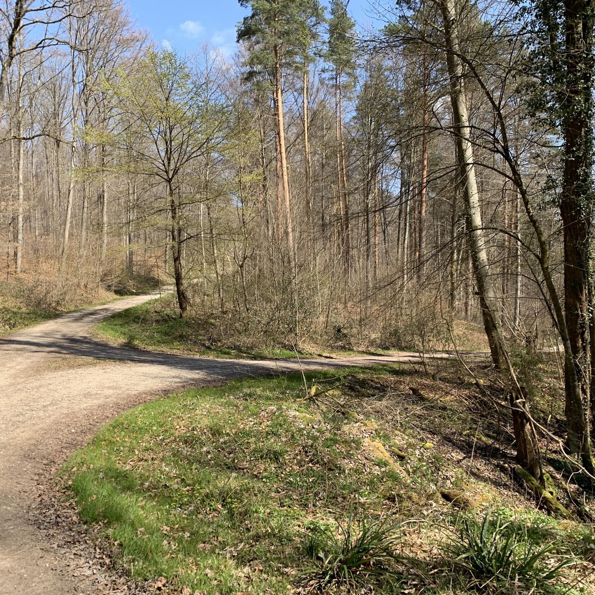
Gravel biking in Mittlerer Schurwald offers a diverse landscape characterized by a wooded mountain range situated between the Neckar Valley and the Rems Valley. The region features varied topography with elevations, including its highest point at 513 meters above sea level. Geological elements like clay, marl, and sandstone contribute to the natural surface of the gravel paths. The landscape is further enriched by numerous streams and the Herrenbach Reservoir.
Best gravel bike trails in Mittlerer Schurwald
- The most popular gravel…
Last updated: October 1, 2026
5.0
(2)
14
riders
20.8km
01:08
130m
130m
Easy gravel ride. Great for any fitness level. Mostly paved surfaces. Suitable for all skill levels.
2.0
(1)
13
riders
Easy gravel ride. Great for any fitness level. Mostly paved surfaces. Suitable for all skill levels.

3.7
(3)
9
riders
29.9km
02:01
500m
500m
Hard gravel ride. Very good fitness required. Mostly paved surfaces. Suitable for all skill levels.
5.0
(2)
10
riders
Hard gravel ride. Very good fitness required. Mostly paved surfaces. Suitable for all skill levels.
4.4
(13)
58
riders
Moderate gravel ride. Good fitness required. Mostly paved surfaces. Suitable for all skill levels.
Get access to more routes and recommendations from other explorers.
Already have an account?
Our route recommendations are based on thousands of hikes, rides, and runs completed by other people on komoot.
Start today with a free account
Your next adventure awaits.
Tips from the Community

Bridge has immense quality
0
0

Unpaved path along the Fils right on the edge of the forest, while on the other side of the Fils the bike path runs along.
4
0

Recently reopened, with new operator and new opening hours: Monday: Closed Tuesday - Friday: 14:00 - 21:30 Saturday: 11:30 -21:30 Sunday: 10:30 - 20:30
1
0

Beautiful forest path down from the Fildern
0
0
A pedestrian and bicycle bridge over the Neckar river, which also offers good views of the river.
5
0
The lake is now completely silted up and has disappeared!
0
0

The water from the Fils spring flows through underground caves and crevices before gathering in a spring basin and emerging from the ground in the Hasental valley near Wiesensteig. The Fils meanders approximately 63 km through the Fils valley and flows into the Neckar in Plochingen.
1
0
The water from the Fils spring flows through underground caves and crevices before gathering in a spring basin and emerging from the ground in the Hasental valley near Wiesensteig. The Fils meanders approximately 63 km through the Fils valley and flows into the Neckar in Plochingen.
1
0
Frequently Asked Questions
How many gravel bike trails are available in Mittlerer Schurwald?
Mittlerer Schurwald offers a wide selection of gravel bike trails, with over 350 routes available. These range from easy paths to more challenging rides, catering to various fitness and skill levels.
What kind of terrain can I expect on gravel bike trails in Mittlerer Schurwald?
The terrain in Mittlerer Schurwald is diverse, characterized by a wooded mountain range with varied topography. You'll encounter natural surfaces like clay, marl, and sandstone, as well as ascents and descents. The region's geological diversity ensures engaging routes with natural paths ideal for gravel cycling.
Are there any family-friendly gravel bike routes in Mittlerer Schurwald?
Yes, Mittlerer Schurwald has several routes suitable for families. For an easier option, consider the The Fils near Plochingen – Neckar Bridge Plochingen loop from Reichenbach an der Fils, which is 15.0 miles (24.1 km) long and leads through river valleys. There are 28 easy routes in total, offering gentler gradients and less technical sections.
Can I bring my dog on the gravel bike trails in Mittlerer Schurwald?
While many outdoor areas in Germany are dog-friendly, it's always advisable to keep your dog on a leash, especially in protected landscapes like Mittlerer Schurwald, to protect wildlife and ensure safety for all trail users. Always check local signage for specific rules regarding dogs on trails.
What are some scenic viewpoints or natural features I can see along the trails?
Mittlerer Schurwald offers numerous scenic spots. You can enjoy expansive views of the Swabian Alb and the Fils Valley from various points. Routes often pass by natural features such as the Holderstein Rock Formation and Waterfall, or the tranquil Tiefklinge (Mittlerer Schurwald) gorge. The region is also home to the Four Giant Sequoias near Gschlägwiese, Baltmannsweiler.
Are there any circular gravel bike routes in the region?
Many of the gravel bike routes in Mittlerer Schurwald are designed as loops, allowing you to start and end at the same point. An example is the Kirschbaumweg – Jägerhaus Beer Garden, Esslingen loop from Baltmannsweiler, a 13.4-mile (21.5 km) trail offering a scenic circuit.
What is the best time of year to go gravel biking in Mittlerer Schurwald?
The varied topography and wooded nature of Mittlerer Schurwald make it enjoyable throughout much of the year. Spring and autumn offer pleasant temperatures and beautiful foliage, while summer provides longer daylight hours. Even in winter, some trails may be accessible, though conditions can vary, and some sections might be muddy or icy.
How can I access the gravel bike trails in Mittlerer Schurwald using public transport?
Mittlerer Schurwald is situated between the Neckar Valley and the Rems Valley, which are generally well-connected by public transport in the Baden-Württemberg region. You can often reach towns bordering the Schurwald by train or bus, and then cycle into the trail network. It's recommended to check local public transport schedules and bike carriage policies for specific routes to your starting point.
Are there specific parking options for gravel bikers in Mittlerer Schurwald?
Many trailheads and popular starting points in and around Mittlerer Schurwald, especially near towns like Baltmannsweiler or Reichenbach an der Fils, offer designated parking areas. These are often signposted and provide convenient access to the trail network. Always look for official parking to avoid obstructing local residents or protected areas.
Are there any challenging gravel bike routes for experienced riders?
Yes, for experienced riders seeking a challenge, Mittlerer Schurwald offers 149 difficult routes. The Jägerhaus Beer Garden, Esslingen – Ducal Marble Run Stetten loop from Baltmannsweiler is a difficult 19.1-mile (30.7 km) path with significant elevation changes and varied terrain. Another demanding option is the Herrenbach Reservoir (North) – View of Herrenbachsee loop from Baltmannsweiler, which features substantial climbs.
What kind of facilities, like cafes or accommodation, are available near the trails?
The towns and villages surrounding Mittlerer Schurwald, such as Baltmannsweiler, Reichenbach an der Fils, and Esslingen, offer various facilities. You can find cafes, restaurants, and traditional German pubs (like the Jägerhaus Beer Garden mentioned in some routes) for refreshments. Accommodation options, from guesthouses to hotels, are also available in these areas for those planning an extended stay.
Are there any regulations or permits required for gravel biking in Mittlerer Schurwald?
Mittlerer Schurwald is designated as a protected landscape. While gravel biking is generally permitted on designated trails and forest roads, it's important to respect local regulations, stay on marked paths, and avoid disturbing wildlife. No specific permits are typically required for recreational cycling, but always be mindful of environmental protection rules.
What do other cyclists say about gravel biking in Mittlerer Schurwald?
The gravel biking experience in Mittlerer Schurwald is highly rated by the komoot community, with an average score of 4.5 stars from over 600 reviews. More than 3,600 gravel bikers have used komoot to explore the region, often praising its diverse landscape, varied topography, and the extensive network of trails that cater to different skill levels.
Are there any routes that pass by water features like reservoirs or streams?
Yes, the landscape of Mittlerer Schurwald is enriched by numerous streams and the Herrenbach Reservoir. Routes like the Nassachtal Cycle Path – The Fils near Plochingen loop from Baltmannsweiler will take you along water features. The Herrenbach Reservoir itself is a prominent natural landmark, offering tranquil spots and scenic views along its shores.
Most popular routes in Mittlerer Schurwald
Most popular attractions in Mittlerer Schurwald

Get inspired with the komoot mobile app


Explore more
Browse the best Gravel rides in other regions.
