The best walks and hikes in Mittlerer Schurwald
4.5
(14177)
62,465
hikers
41
hikes
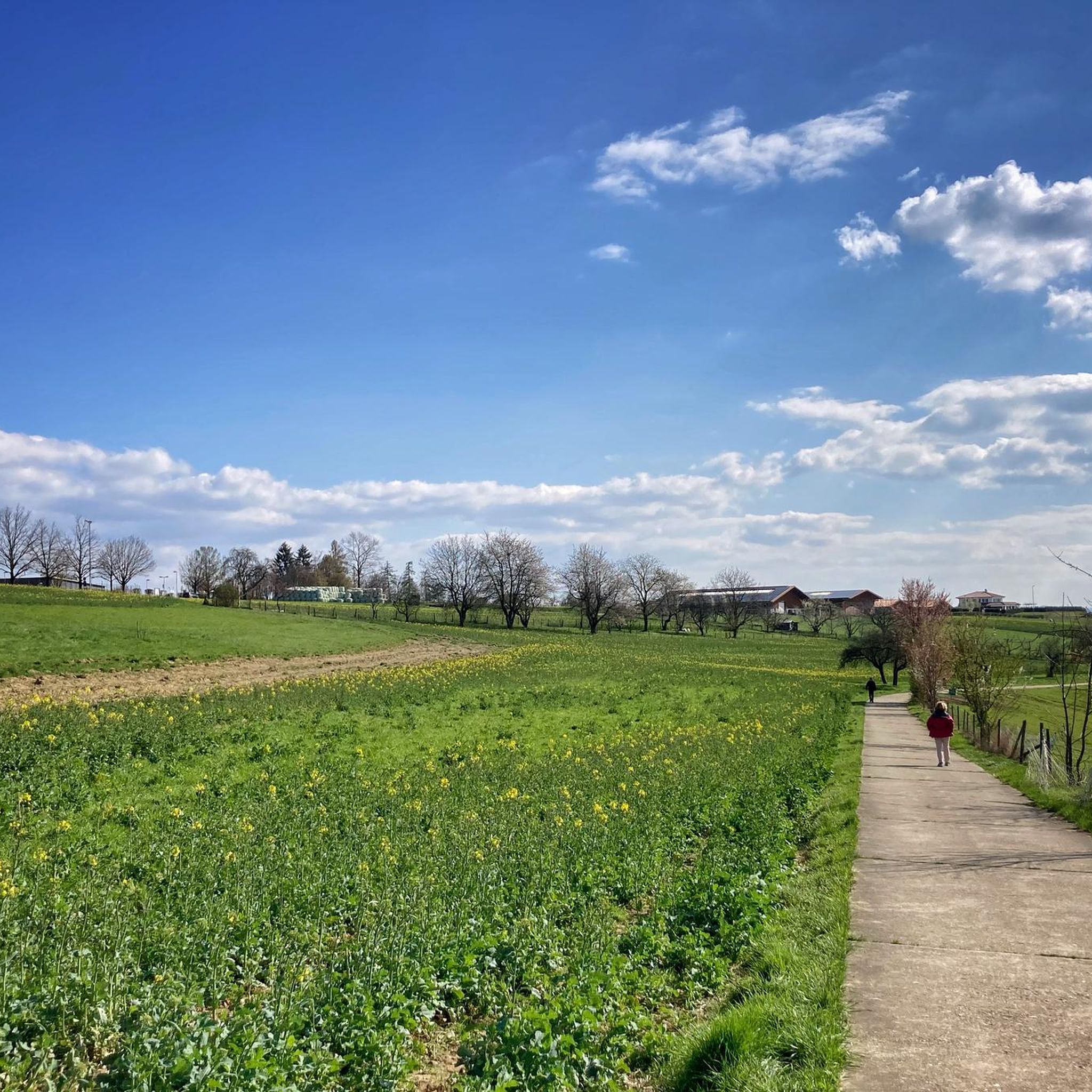
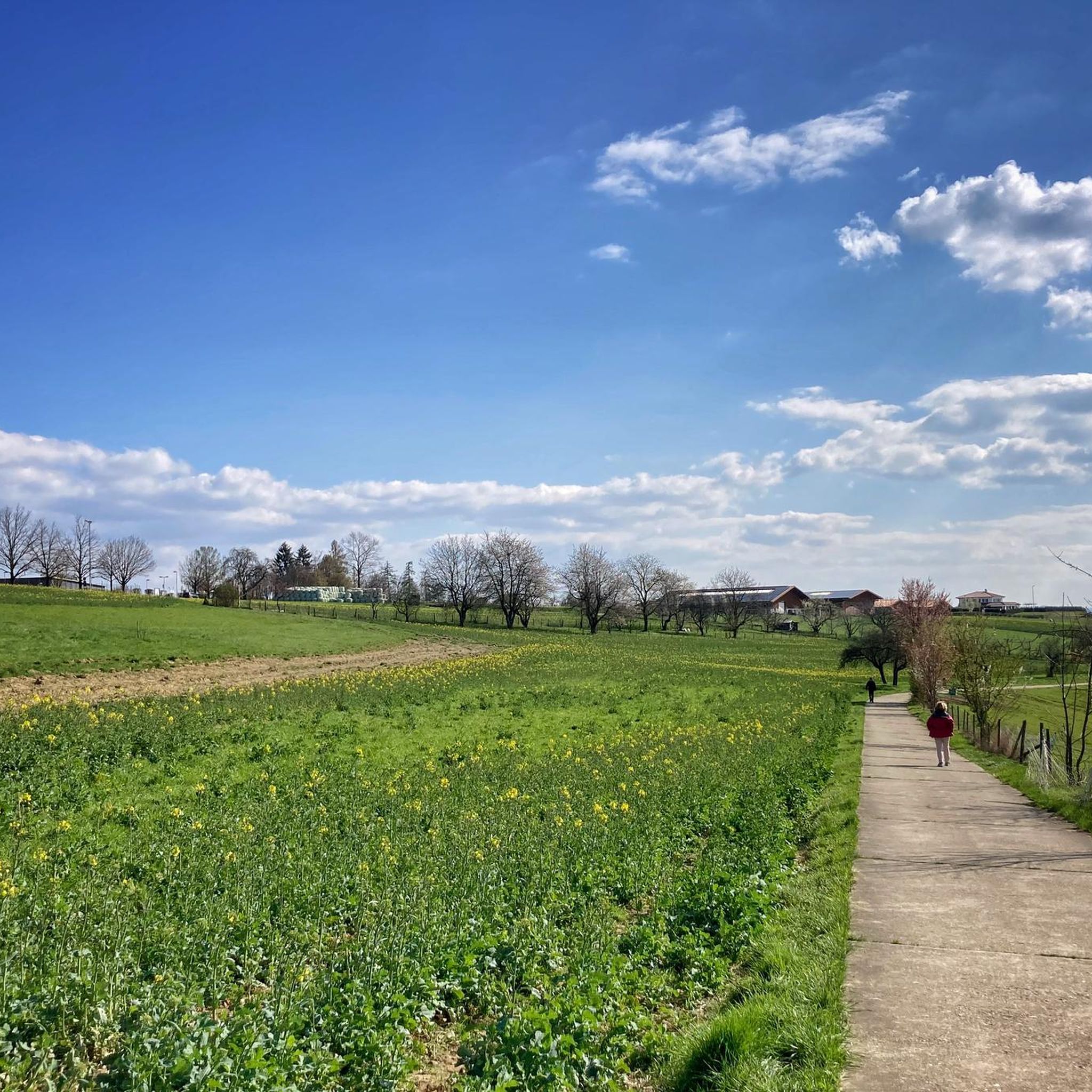
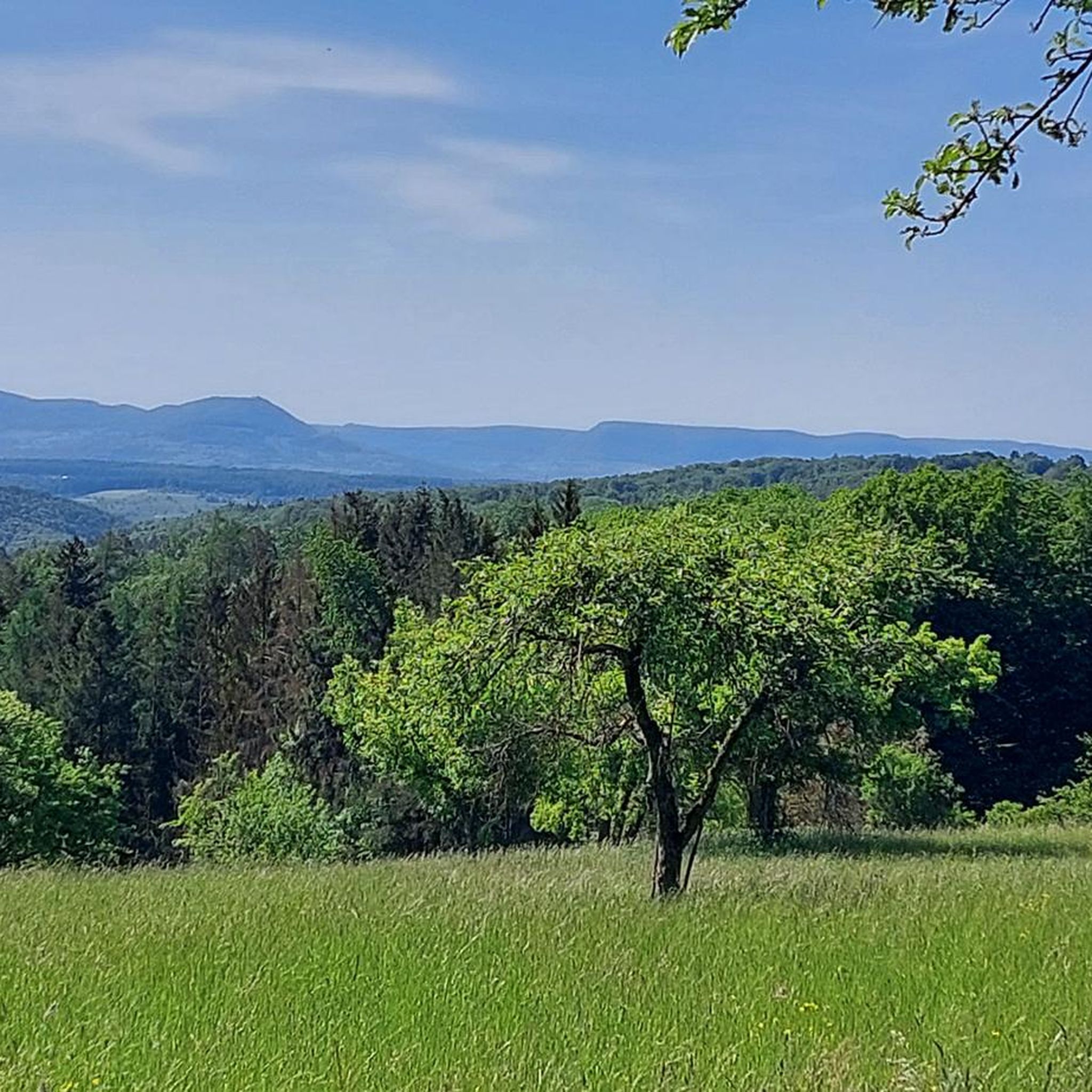
Hiking in Mittlerer Schurwald offers diverse landscapes within a wooded mountain range in Baden-Württemberg, Germany. The region is characterized by its "Schurwaldhöhen" nestled between the Neckar and Rems Valleys, forming part of the Southwest German Scarplands. Hikers can experience expansive views of the Swabian Jura and vistas overlooking the Filstal valley. Numerous streams and the Herrenbach Reservoir add to the varied terrain, which consists of clay, marl, and sandstone.
Best hiking trails in Mittlerer Schurwald
- The most popular hiking route…
Last updated: October 1, 2026
4.6
(64)
233
hikers
Moderate hike. Good fitness required. Easily-accessible paths. Suitable for all skill levels.
4.6
(56)
210
hikers
9.81km
02:37
110m
110m
Moderate hike. Good fitness required. Easily-accessible paths. Suitable for all skill levels.

4.5
(28)
81
hikers
Moderate hike. Good fitness required. Easily-accessible paths. Suitable for all skill levels.
4.7
(27)
71
hikers
5.96km
01:43
150m
150m
Easy hike. Great for any fitness level. Easily-accessible paths. Suitable for all skill levels.
4.5
(19)
68
hikers
Moderate hike. Good fitness required. Easily-accessible paths. Suitable for all skill levels.
Get access to more routes and recommendations from other explorers.
Already have an account?
Our route recommendations are based on thousands of hikes, rides, and runs completed by other people on komoot.
Start today with a free account
Your next adventure awaits.

Tips from the Community

The Mosaic Art House in Thomashardt is known for its colorful mosaics and masonry in the unmistakable Gaudí style.
2
0
The sculpture „Blauer Ammonit“ is located directly in front of the entrance to the Bürger- und Kulturzentrum in Lichtenwald on the Schurwald. The artwork was created in July 2015 by the artist duo Atelier Heinze (Raj Heinze). It is a central eye-catcher of the place and corresponds directly in form and color with the adjacent roundabout.
2
0
Wonderful panoramic view of the Albtrauf and the Swabian Jura. A metal plate provides information about the prominent points that can be seen in good weather.
2
0
The "AUGEnblick" sculpture in Lichtenwald, over three meters high, is a striking work of art by the regional artist couple Angie and René Heinze (Atelier Heinze). Erected in 2014, the oval artwork, modeled after an eyepiece, stands at one of the highest points of the Lichtenwalder Höhenweg trail in the Hegenlohe district. It serves as an "optical frame" for walkers, purposefully directing the view across the Reichenbachtal valley towards the Teck and Hohenneuffen.
2
0
The sculpture was created by the local artist couple Angie and René Heinze (Atelier RAJ-Heinze) and was ceremonially handed over to the municipality on February 18, 2018. In terms of design, it is reminiscent of petrified sea urchins that lived in the Swabian Sea about 150 million years ago during the Jurassic period.
2
0
The Alte Bogenstein arch bridge, which although no longer accessible due to the risk of collapse, is still very beautiful to look at due to its idyllic location.
4
0
The mill is the older of two historic mills in the valley (the neighboring oil mill dates from 1772) and was first documented in 1402 as the property of the Nellingen provostry. The name goes back to the old manorial milling right (the so-called compulsory grinding). The inhabitants of the surrounding hamlets of Baltmannsweiler, Hegenlohe, Hohengehren, and Thomashardt were legally "banned" – i.e. obliged – to have their grain ground exclusively here.
5
0
Spring from a large stone, located directly on the hiking trail.
7
0
Frequently Asked Questions
How many hiking trails are there in Mittlerer Schurwald?
Mittlerer Schurwald offers a wide variety of hiking experiences, with over 40 routes available. These range from easy strolls to more challenging treks, catering to different fitness levels.
Are there easy hiking trails suitable for beginners or families in Mittlerer Schurwald?
Yes, Mittlerer Schurwald has many easy trails perfect for beginners or families. Around 29 of the available routes are classified as easy. An example is the Forester's Spring – Research Trail Schachenbach loop from Baltmannsweiler, which is about 6 km long and takes less than two hours to complete.
Can I find circular hiking routes in Mittlerer Schurwald?
Many of the hiking routes in Mittlerer Schurwald are designed as circular loops, allowing you to start and end at the same point. This makes planning your hike convenient, as you won't need to arrange for transport back to your starting location.
Are there any trails with waterfalls or other water features?
Yes, the region is crisscrossed by numerous streams, and you can discover waterfalls along some trails. A notable natural feature is the Holderstein Rock Formation and Waterfall, which adds to the picturesque scenery.
What kind of views can I expect while hiking in Mittlerer Schurwald?
Hikers in Mittlerer Schurwald can enjoy expansive "Blick auf die Schwäbische Alb" (views of the Swabian Jura) and vistas overlooking the Filstal valley. The region's "Schurwaldhöhen" (Schurwald heights) provide many scenic viewpoints. For example, the View of the Swabian Jura – View of the Filstal Valley loop from Thomashardt offers excellent panoramic sights.
Are there any historical sites or interesting landmarks to see along the trails?
Mittlerer Schurwald offers several historical and cultural points of interest. You can explore the Bannmühle Reichenbachtal, a beautifully preserved old mill, or discover the Old Stone Bridge over the Reichenbach. The historic "Kaisersträßle" also offers a glimpse into medieval times.
What do other hikers say about the trails in Mittlerer Schurwald?
The hiking trails in Mittlerer Schurwald are highly regarded by the komoot community, with an average rating of 4.6 stars from over 700 reviews. Hikers often praise the diverse landscapes, the well-maintained paths, and the beautiful views of the Swabian Jura and Filstal valley.
Are there any themed trails or educational paths in the area?
Yes, Mittlerer Schurwald features themed trails that combine natural beauty with educational elements. The Forester's Spring – Research Trail Schachenbach loop from Baltmannsweiler is an example of an explorer trail, offering insights into the local environment.
What is the typical difficulty level of hikes in Mittlerer Schurwald?
The trails in Mittlerer Schurwald cater to various difficulty levels. While there are 29 easy routes and 11 moderate ones, there is also one difficult trail for experienced hikers seeking a challenge. This variety ensures there's something for everyone.
Is Mittlerer Schurwald a protected natural area?
Yes, Mittlerer Schurwald is designated as a "Landschaftsschutzgebiet" (landscape protection area). This designation underscores its preserved natural beauty and ensures the protection of its diverse landscapes, including the "Schurwaldhöhen" and numerous streams.
What kind of terrain can I expect on the hiking trails?
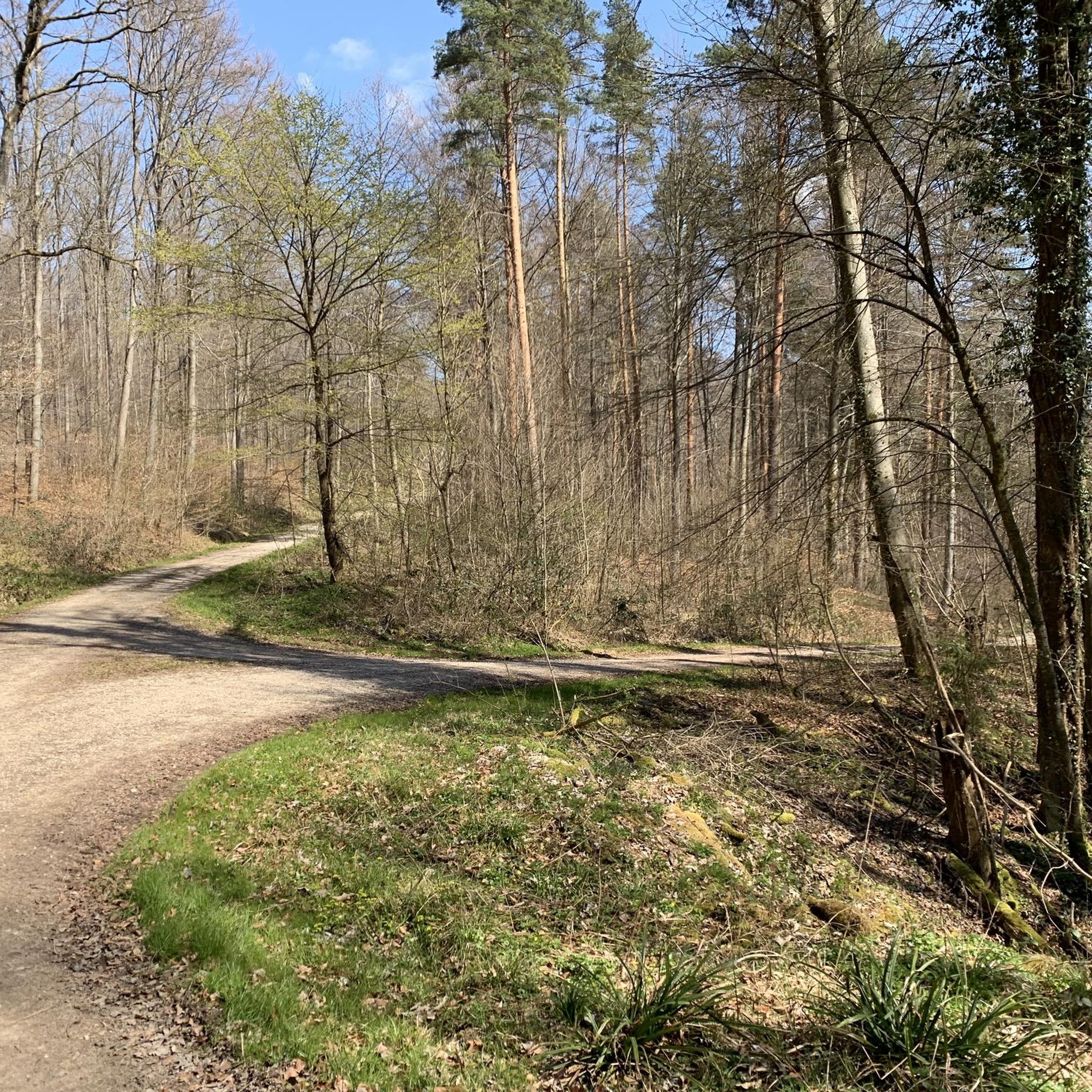
The terrain in Mittlerer Schurwald is varied, characterized by its wooded mountain range. Geologically, it consists of clay, marl, Late Triassic sandstone, and Lias alpha, which contributes to diverse paths through forests, along streams, and over hills with scenic views.
Most popular routes in Mittlerer Schurwald
Most popular attractions in Mittlerer Schurwald

Get inspired with the komoot mobile app


Explore more
Browse the best Hikes in other regions.
