The best gravel rides in Taubergießen
4.6
(55)
334
riders
50
rides
Gravel biking in Taubergießen offers routes through a significant nature reserve characterized by river landscapes and floodplains. The terrain primarily consists of flat to gently rolling paths suitable for gravel bikes, following the Rhine river and its associated wetlands. This region provides a network of trails that traverse diverse natural environments, including riparian forests and open areas. The routes generally feature minimal elevation changes, making them accessible for various skill levels.
Best gravel bike trails in Taubergießen
- The most popular…
Last updated: October 6, 2026
5.0
(2)
8
riders
Easy gravel ride. Great for any fitness level. Mostly paved surfaces. Suitable for all skill levels.
4.6
(5)
49
riders
Hard gravel ride. Very good fitness required. You may need to push your bike for some segments of this route.

5.0
(1)
6
riders
Easy gravel ride. Great for any fitness level. Mostly paved surfaces. Suitable for all skill levels.
4.8
(4)
8
riders
53.9km
02:57
100m
100m
Moderate gravel ride. Good fitness required. Mostly paved surfaces. Suitable for all skill levels.
5.0
(1)
14
riders
Easy gravel ride. Great for any fitness level. Mostly paved surfaces. Suitable for all skill levels.
Get access to more routes and recommendations from other explorers.
Already have an account?
Our route recommendations are based on thousands of hikes, rides, and runs completed by other people on komoot.
Start today with a free account
Your next adventure awaits.
Tips from the Community

Beautiful nature, calm, pleasant cycle paths
0
0

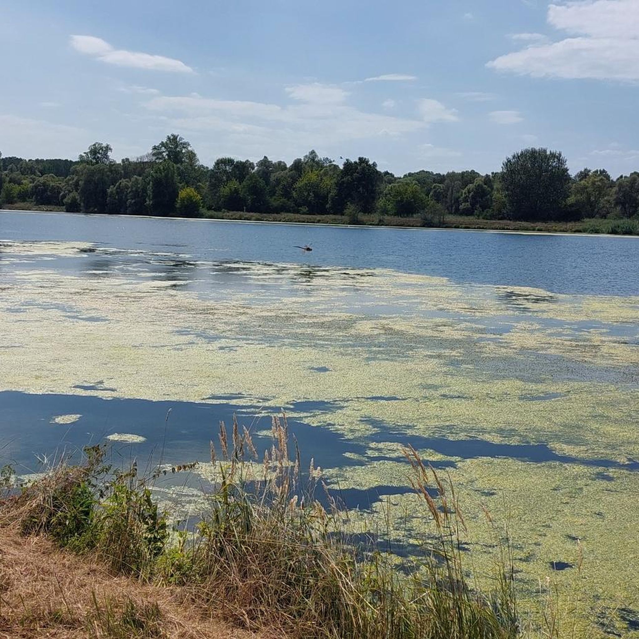
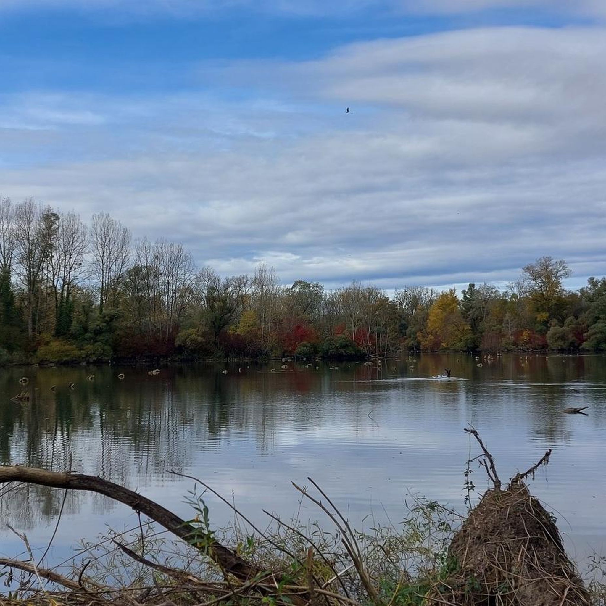
The Taubergießen nature reserve is a roughly 1,700-hectare floodplain and wetland area on the Upper Rhine between Freiburg and Offenburg. It consists of oxbow lakes, meadows, and riparian forests and is one of the largest and most ecologically valuable protected areas in Baden-Württemberg. The area is a habitat for many rare animal and plant species and is ideal for nature observation, hiking, and guided boat trips. 🌿🦆
0
0

An absolute natural idyll. Absolutely beautiful!!
1
0

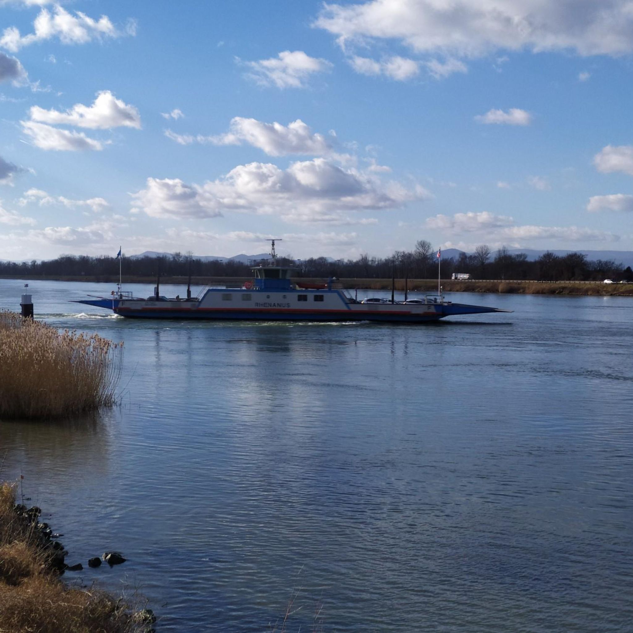
Leisurely cycling, watching "Schiffle" 🤪
0
0
It's simply wonderful to sit here "on the beach" on sunny days 😉
1
0

Great place to sit and watch the set over the lake
1
0

The small town of Burkheim is well worth a visit. It's definitely worth leaving the tiresome gravel road for a while, although it does offer beautiful views of the Rhineland. The scenery is beautiful, but with a total distance of 90 km, it's best to avoid asphalt if possible.
0
0

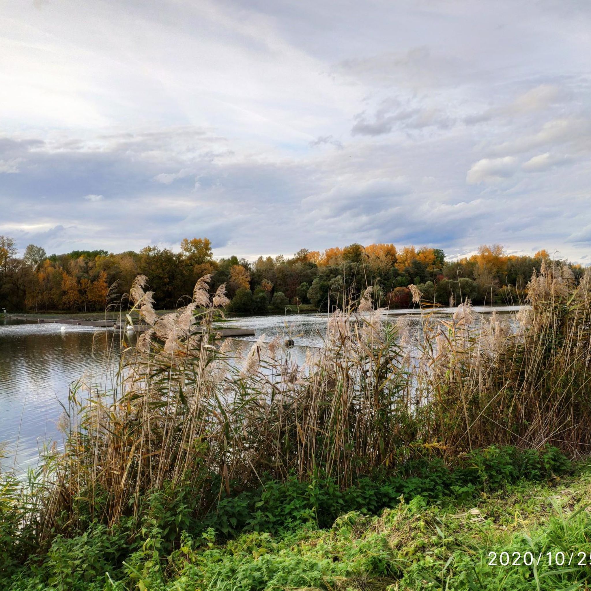
I always enjoy driving through the Rhine meadows; they are beautiful!
2
0
Frequently Asked Questions
How many gravel bike trails are available in Taubergießen?
Taubergießen offers a wide network of over 70 gravel bike routes. These trails traverse diverse natural environments, including riparian forests and open areas, providing options for various skill levels.
What is the general difficulty level for gravel biking in Taubergießen?
The terrain in Taubergießen primarily consists of flat to gently rolling paths, making many routes accessible. Out of the over 70 available tours, 17 are rated as easy, 38 as moderate, and 17 as difficult, ensuring options for all experience levels.
Are there family-friendly gravel bike routes in Taubergießen?
Yes, Taubergießen has several easy routes suitable for families. A good option is the Taubergießen River Landscape – Taubergießen Floodplain loop from Panoramabahn Bahnhof "Deutschland", which is 9.4 miles (15.1 km) long with minimal elevation changes, perfect for a relaxed family outing.
What kind of views or natural attractions can I expect along the gravel bike trails?
The routes in Taubergießen offer scenic views of river landscapes and floodplains. You can encounter natural highlights such as the Taubergießen Floodplain itself, the Forest trail along the Taubergießen, and the Taubergießen Birdwatching Tower. Keep an eye out for the unique flora and fauna of this nature reserve.
Are there any circular gravel bike routes in Taubergießen?
Many of the gravel bike routes in Taubergießen are designed as loops. For example, the Taubergießen River – Taubergießen Nature Reserve loop from Oberhausen offers a moderate 19.9 miles (32.1 km) ride through the nature reserve and along the river.
What do other gravel bikers say about the trails in Taubergießen?
The komoot community highly rates the gravel biking experience in Taubergießen, with an average score of 4.7 stars from over 40 reviews. Riders often praise the diverse river landscapes, floodplains, and well-maintained nature reserve trails that cater to different ability levels.
What is the best time of year for gravel biking in Taubergießen?
Given its river landscapes and floodplains, Taubergießen is generally pleasant for gravel biking from spring through autumn. Spring offers blooming nature, while autumn provides vibrant foliage. Always check local weather conditions, especially after heavy rains, as some paths might be affected by water levels.
Are there any longer, more advanced gravel bike routes for experienced riders?
Yes, for experienced riders seeking a longer challenge, the Taubergießen River Landscape – Rheinauen Wilderness Trail loop from Panoramabahn Bahnhof "Deutschland" is a demanding 95.6 miles (153.9 km) route. This difficult trail leads through extensive river landscapes and wilderness areas, typically taking over 10 hours to complete.
How can I access the Taubergießen gravel bike trails using public transport?
Some routes, like the longer Taubergießen River Landscape – Rheinauen Wilderness Trail loop, start from Panoramabahn Bahnhof "Deutschland," suggesting rail access. For other starting points, it's advisable to check local bus or train connections to nearby towns like Rhinau or Kappel am Rhein, which serve as common entry points to the nature reserve.
Are there any unique landmarks or points of interest along the routes?
Beyond the natural beauty, you can encounter interesting man-made features. The Free ferry 🇩🇪Kappel am Rhein–🇫🇷Rhinau is a notable highlight, connecting Germany and France. You might also pass the Fish Ladder at the Taubergießen Weir, an ecological structure designed to help fish migrate.
Where can I find parking for gravel biking in Taubergießen?
Many routes originate from towns like Rhinau or near specific points like Panoramabahn Bahnhof "Deutschland." These locations typically offer designated parking areas for visitors accessing the nature reserve. It's recommended to check the specific starting point of your chosen route for the most convenient parking options.
Most popular routes in Taubergießen
Most popular attractions in Taubergießen

Get inspired with the komoot mobile app


Explore more
Browse the best Gravel rides in other regions.
