The best cycling routes in Taubergießen
4.5
(3401)
20,760
riders
815
rides
Touring cycling in Taubergießen offers routes through a vast nature reserve characterized by its flat topography within the Upper Rhine Plain. The region features extensive riparian forests, wetlands, and numerous river arms, creating a diverse landscape for cyclists. This area, historically a Rhine floodplain, retains many characteristic elements of its original environment, providing a unique setting for outdoor activities. Its generally flat terrain makes it accessible for a wide range of ages and fitness levels.
Best touring cycling routes in…
Last updated: September 29, 2026
4.6
(17)
65
riders
16.2km
01:08
30m
30m
Easy bike ride. Great for any fitness level. Mostly paved surfaces. Suitable for all skill levels.
4.2
(16)
57
riders
44.9km
02:31
60m
60m
Moderate bike ride. Good fitness required. Mostly paved surfaces. Suitable for all skill levels.

4.7
(6)
35
riders
23.1km
01:19
40m
40m
Easy bike ride. Great for any fitness level. Mostly paved surfaces. Suitable for all skill levels.
4.5
(16)
74
riders
39.5km
02:18
50m
50m
Moderate bike ride. Good fitness required. Mostly paved surfaces. Suitable for all skill levels.
4.5
(98)
296
riders
Moderate bike ride. Good fitness required. Mostly paved surfaces. Suitable for all skill levels.
Get access to more routes and recommendations from other explorers.
Already have an account?
Our route recommendations are based on thousands of hikes, rides, and runs completed by other people on komoot.
Start today with a free account
Your next adventure awaits.
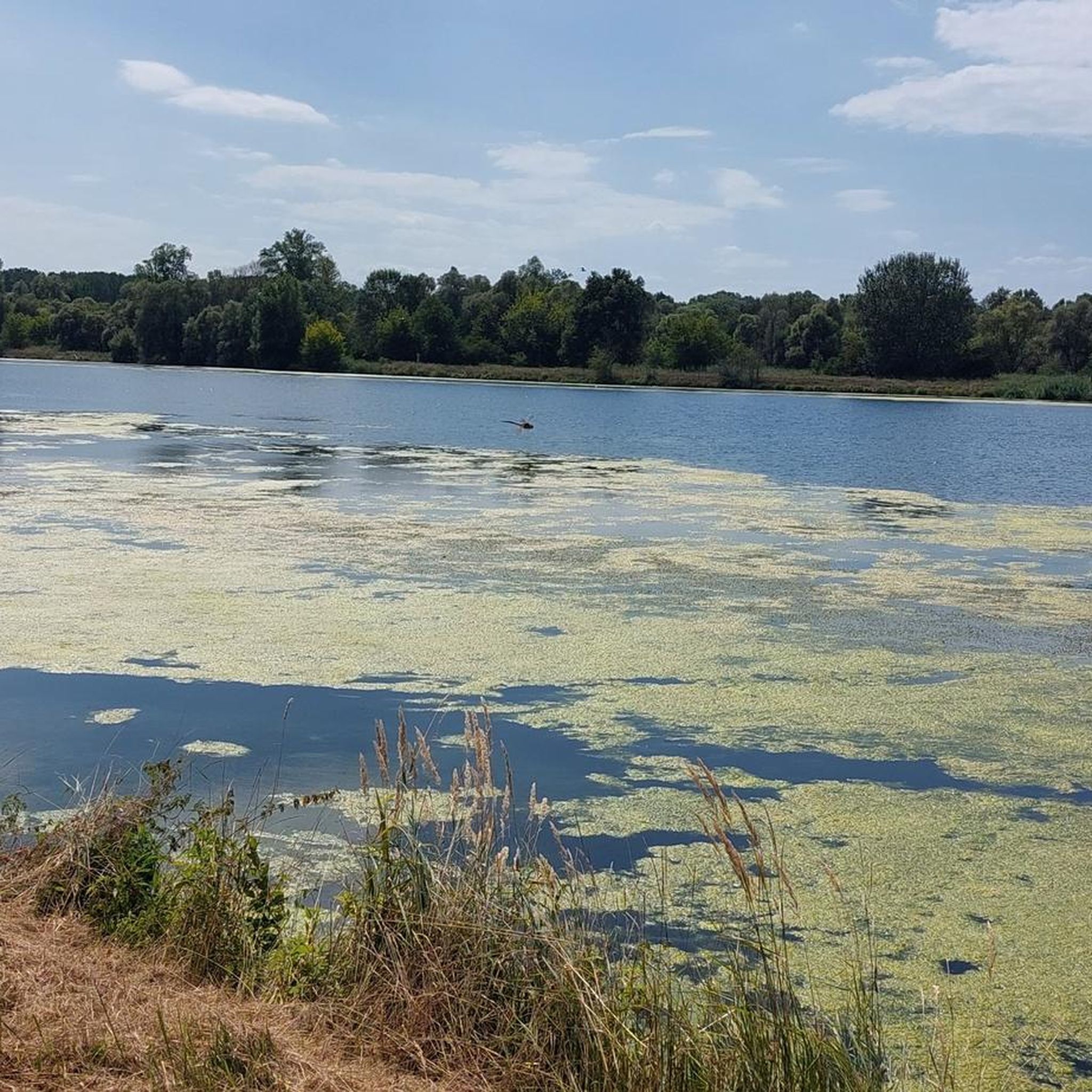
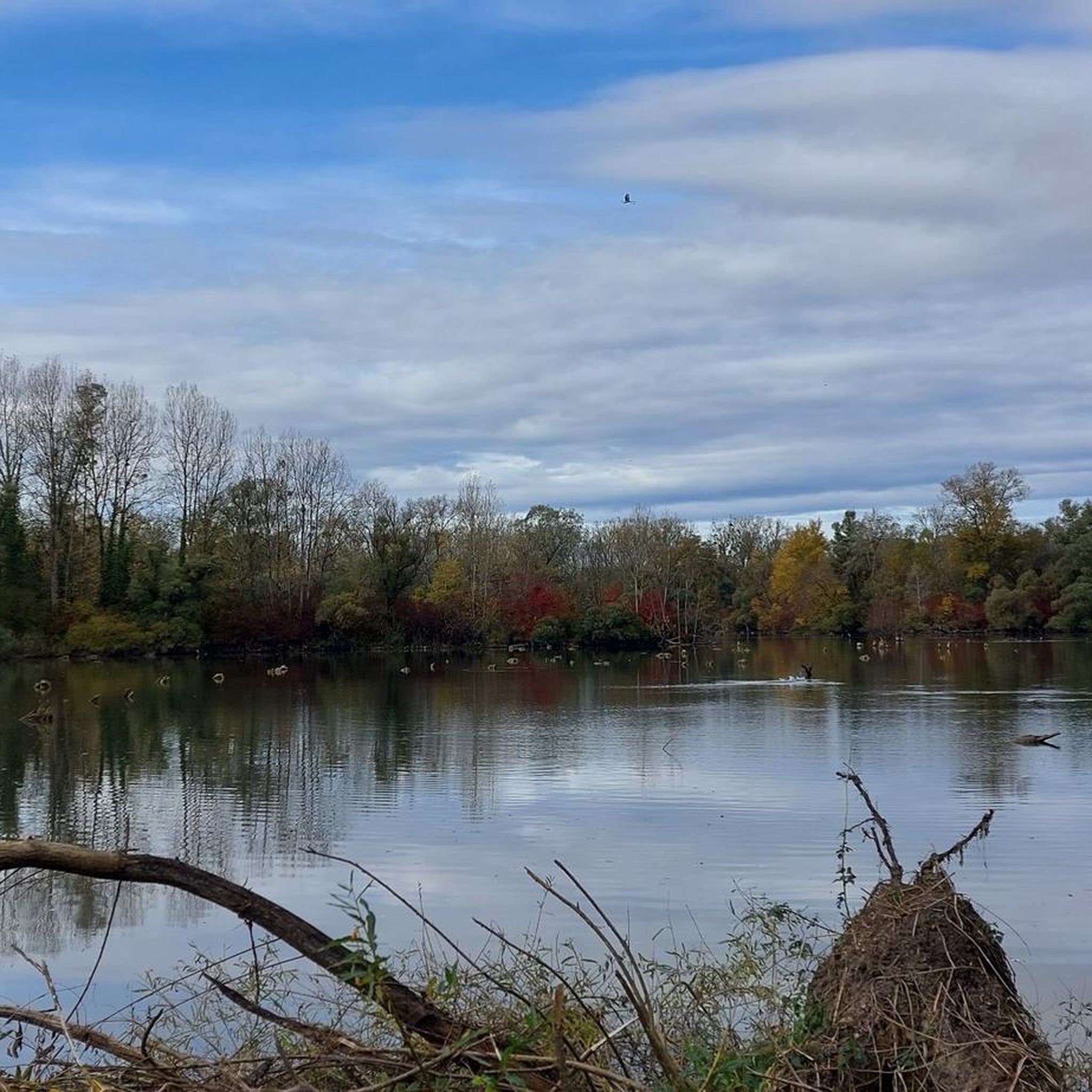
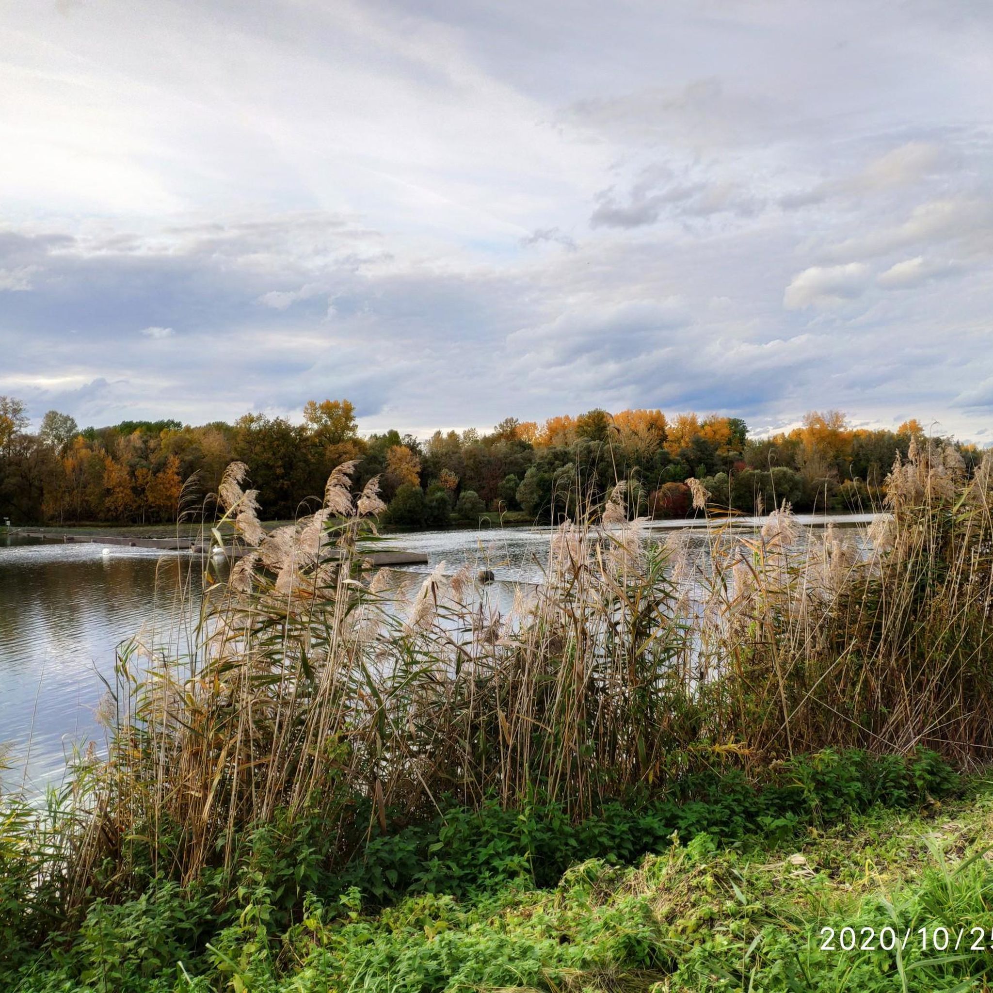
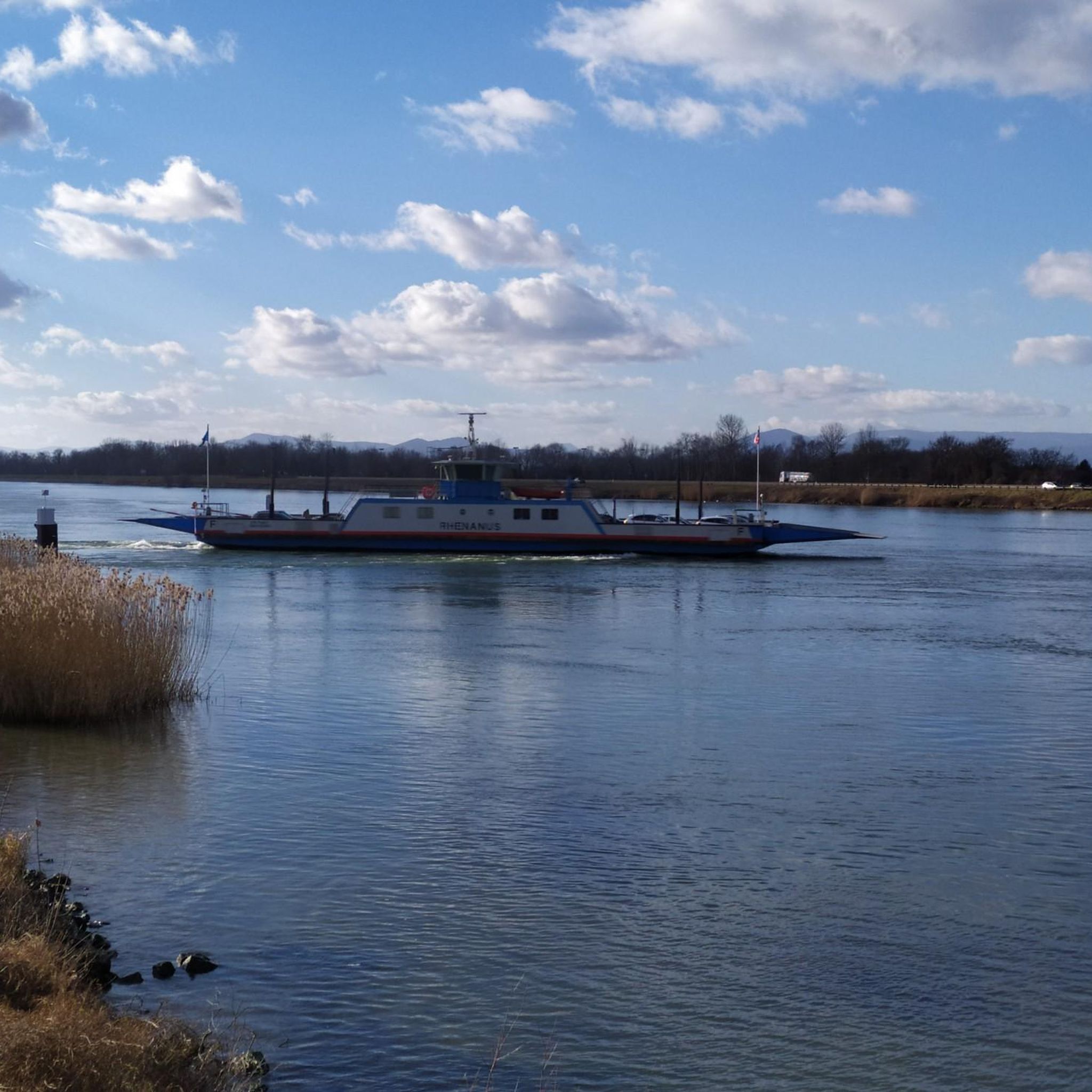
Tips from the Community

Very nice town center
0
0

An absolute natural idyll. Absolutely beautiful!!
1
0

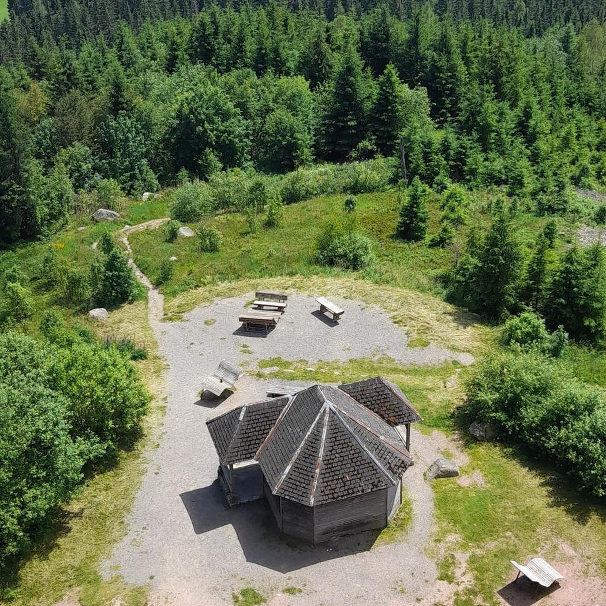
Directly on the banks of the Rhine is this simple shelter, offering hikers and cyclists a welcome spot for a break. From here, you have a magnificent view of the wide river and the surrounding floodplain landscape. The hut offers protection from rain or sun and is an ideal place to enjoy the tranquility of nature. Important note: There is no waste disposal here – waste must be taken back with you to keep the nature reserve clean.
8
0


Super beautiful cycle path along the Canal du Rohne.
0
0

The Rhine-Rhone Canal is 237 km long. It was built between 1784 and 1833.
0
0
The Rhine-Rhone Canal is 237 km long. It was built between 1784 and 1833.
0
0
Great section of the Rhine-Rhône Canal.
0
0
Frequently Asked Questions
How many touring cycling routes are available in Taubergießen?
Taubergießen offers a wide selection of touring cycling routes, with over 800 options available. These range from easy, leisurely rides to more challenging paths, ensuring there's something for every skill level.
What makes touring cycling in Taubergießen unique?
Touring cycling in Taubergießen is unique due to its distinctive natural features. You'll ride through extensive, 'jungle-like' riparian forests, discover rare orchid meadows, and navigate a landscape intricately woven with numerous river arms and wetlands. This area, part of the Upper Rhine Plain, offers a generally flat topography, making it accessible while providing a rich, biodiverse environment.
What kind of terrain can I expect on touring cycling routes in Taubergießen?
The terrain in Taubergießen is generally flat, making it suitable for a wide range of cyclists. While many paths are paved, some sections feature unpaved surfaces with gravel or ground, adding variety to your cycling experience through the nature reserve.
Are there routes suitable for beginners or families in Taubergießen?
Yes, Taubergießen is very welcoming for beginners and families. Over 500 of the available routes are classified as easy, offering leisurely rides with minimal elevation gain. A great option for an easy ride is the Taubergießen Floodplain – View of the Rhine loop from Rhinau, which is 11.2 miles (18.0 km) long and offers scenic views.
Are there more challenging touring cycling routes in Taubergießen?
While Taubergießen is known for its flat terrain, there are still options for those seeking a more demanding ride. The region features over 120 difficult routes, which may involve longer distances or slightly more varied surfaces. For a moderate challenge, consider the Rhinau–Kappel Ferry – The Landscapes of the Grand Ried loop from Rhinau, a 28.3-mile (45.5 km) path exploring diverse landscapes.
What natural sights can I see while cycling in Taubergießen?
As you cycle through Taubergießen, you can immerse yourself in its rich natural beauty. Look out for the sprawling riparian forests, vibrant orchid meadows, and the intricate network of river arms and wetlands. Notable natural highlights include the Taubergießen Floodplain itself, and if you're lucky, you might spot the rare Hummel-Ragwurz Orchid.
Are there any specific landmarks or points of interest along the cycling routes?
Yes, several points of interest enhance the cycling experience. You can visit the Fish Ladder at the Taubergießen Weir, or enjoy views from the Taubergießen Birdwatching Tower. The Free ferry 🇩🇪Kappel am Rhein–🇫🇷Rhinau is also a unique highlight, allowing you to cross the Rhine.
Can I observe wildlife during my cycling tour in Taubergießen?
Absolutely. Taubergießen is an internationally recognized nature reserve and a European bird sanctuary, making it an excellent spot for wildlife observation. You might encounter rare and endangered species such as wildcats, gray herons, golden orioles, and various birds of prey like buzzards and kites, especially in the riparian forests and wetlands.
Are there circular touring cycling routes in Taubergießen?
Yes, many touring cycling routes in Taubergießen are designed as loops, allowing you to start and end at the same point. An example is the Rhinau–Kappel Ferry – Canal du Rhône au Rhin loop from Rhinau, which takes you through the Canal du Rhône au Rhin area.
What do other cyclists enjoy most about touring cycling in Taubergießen?
The area is highly rated by the komoot community, with an average score of 4.5 stars from nearly 3,000 reviews. Cyclists often praise the serene immersion in nature, the well-maintained paths through lush riparian forests, and the opportunity to explore a unique floodplain ecosystem. The generally flat terrain is also frequently highlighted as a positive aspect for enjoyable rides.
What is the best time of year for touring cycling in Taubergießen?
The spring and autumn months are generally considered ideal for touring cycling in Taubergießen. In spring, you can witness the vibrant orchid meadows in bloom, while autumn offers beautiful foliage. Summer is also pleasant, but it's advisable to start early to avoid the midday heat, especially when cycling through the open meadows.
Are dogs allowed on the touring cycling trails in Taubergießen?
While Taubergießen is a nature reserve, dogs are generally permitted on designated paths and trails, provided they are kept on a leash. It's always recommended to check local signage for any specific restrictions in certain sensitive areas to protect the diverse wildlife.
Are there cafes or places to rest along the touring cycling routes?
Yes, you will find various opportunities to rest and refuel. While the nature reserve itself is primarily natural, the surrounding villages and towns like Kappel-Grafenhausen, Rust, and Rheinhausen offer cafes, restaurants, and guesthouses. Many routes pass through or near these areas, providing convenient stops.
Most popular routes in Taubergießen
Most popular attractions in Taubergießen

Get inspired with the komoot mobile app


Explore more
Browse the best Cycling routes in other regions.
