The best gravel rides in Saarsteilhänge/ Lutwinuswald
4.1
(72)
379
riders
35
rides
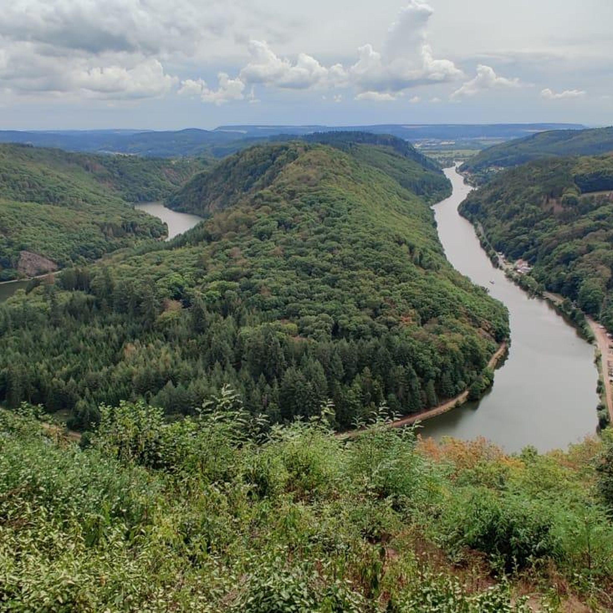
Gravel biking in Saarsteilhänge/ Lutwinuswald features routes through varied terrain, including riverside paths along the Saar River and forested areas. The region is characterized by steep slopes leading down to the river, extensive woodlands, and the dramatic Saar loop. Gravel bike trails often follow a mix of small roads, field and forest paths, and narrow trails, incorporating engaging climbs and descents. This area is designated as a nature reserve, offering a diverse natural environment for gravel biking.
Best gravel bike…
Last updated: August 13, 2026
10
riders
11.8km
00:45
170m
170m
Moderate gravel ride. Good fitness required. Mostly paved surfaces. Suitable for all skill levels.
4.6
(8)
33
riders
19.9km
01:08
240m
240m
Moderate gravel ride. Good fitness required. Mostly paved surfaces. Suitable for all skill levels.

Sign up for free
5.0
(2)
11
riders
27.7km
01:47
370m
370m
Moderate gravel ride. Good fitness required. Mostly paved surfaces. Suitable for all skill levels.
4.2
(25)
156
riders
Hard gravel ride. Very good fitness required. You may need to push your bike for some segments of this route.
4.7
(31)
121
riders
Moderate gravel ride. Good fitness required. Mostly paved surfaces. Suitable for all skill levels.
Get access to more routes and recommendations from other explorers.
Sign up for free
Already have an account?
Our route recommendations are based on thousands of hikes, rides, and runs completed by other people on komoot.
Start today with a free account
Your next adventure awaits.
Login or Signup
Popular around Saarsteilhänge/ Lutwinuswald

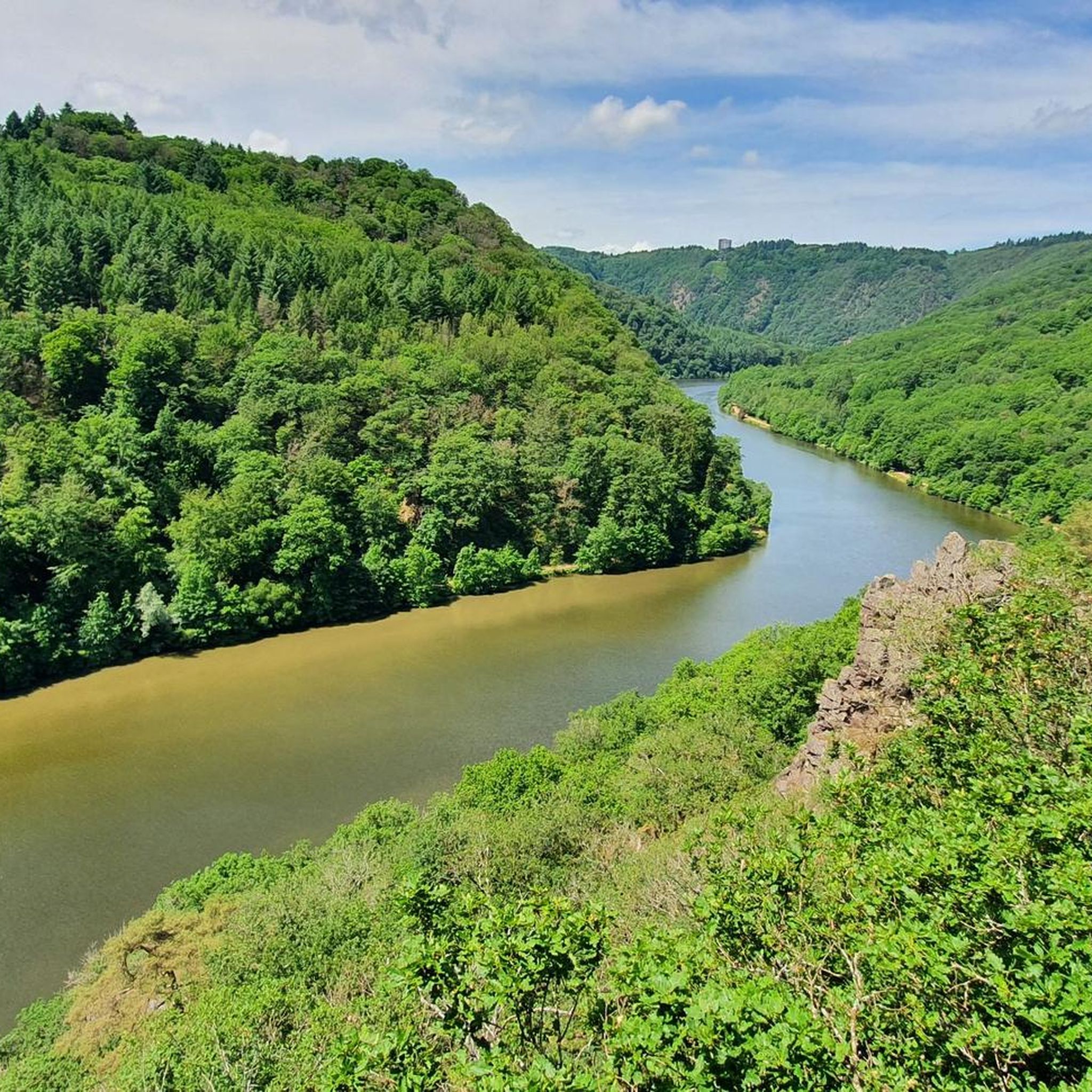
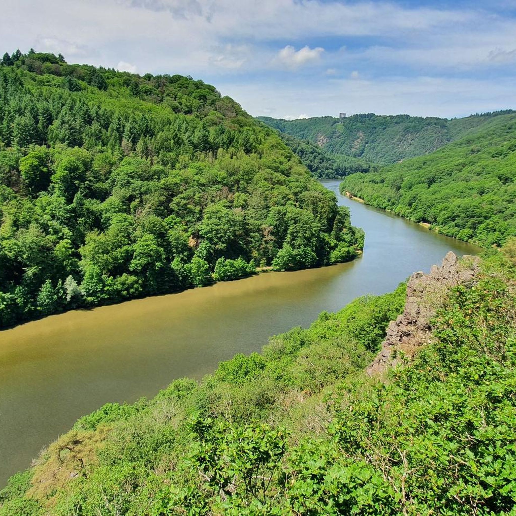
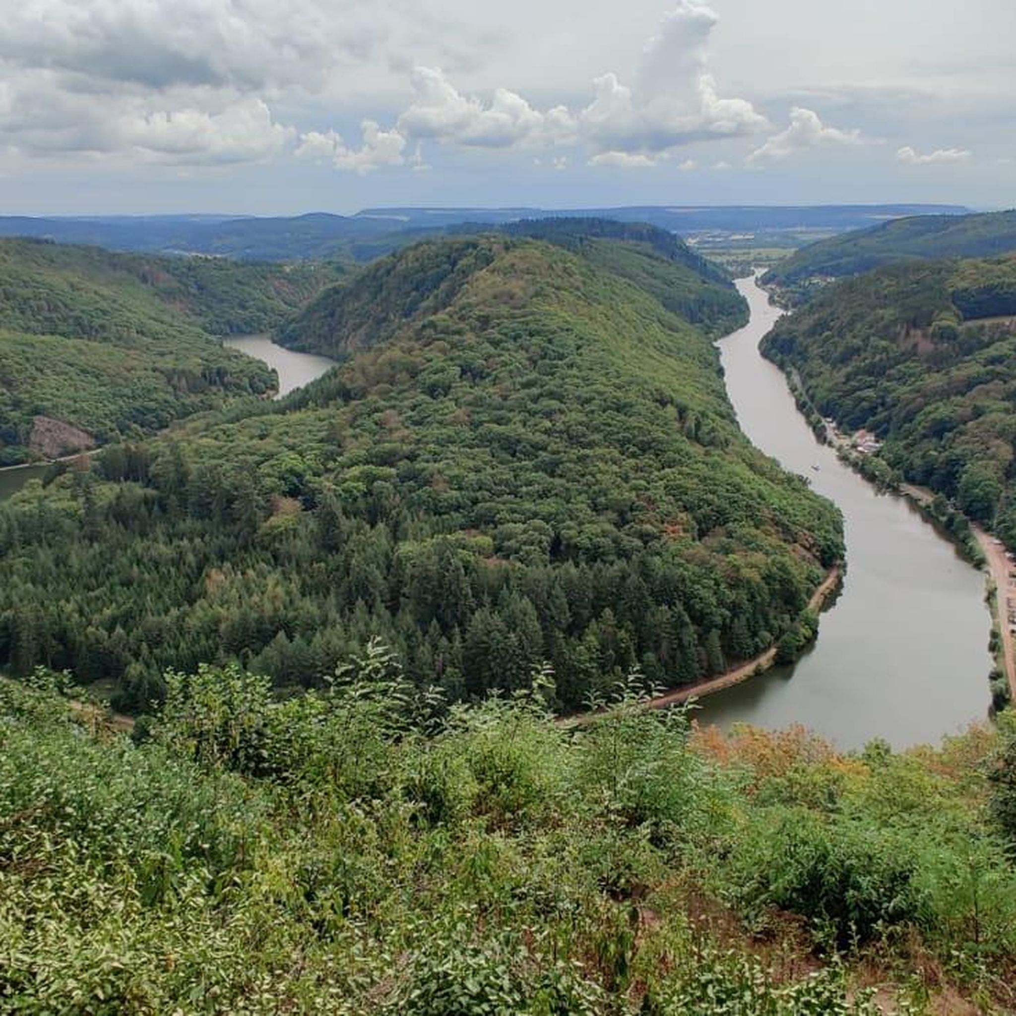
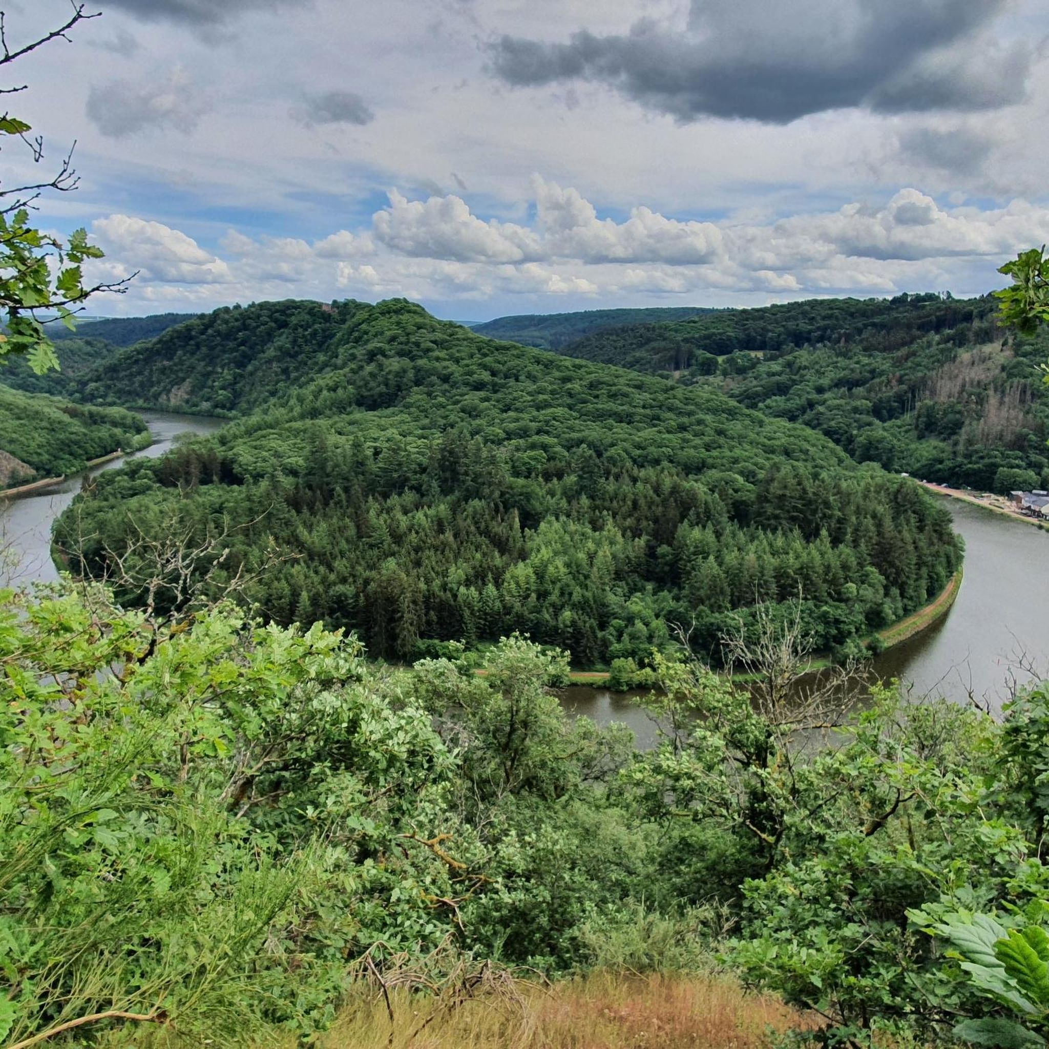
Other adventures in Saarsteilhänge/ Lutwinuswald

Tips from the Community

Take the train after a bike tour to Saar Louis via the Saarschleife.
0
0

The entire Saarschleife has paths on both sides of the river.
0
0

Great cycle path on the banks of the Saar. super rideable!
0
0

The Saar River is also very beautiful up close!
0
0

The gateway to a beautiful valley... it stands there like a guardian.
5
0

The view soon tempts you to climb the tower yourself and observe nature from above
0
0

After a beautiful and peaceful bike ride along the Saar River, the small town of Saarburg, overcrowded with tourists, is a bit of a turn-off, as beautiful as it is. Tip: If it's crowded, take photos and move on.
1
0

If you don't know the Saar, you're missing the lion... 😉
0
0
Frequently Asked Questions
How many gravel bike trails are available in Saarsteilhänge/ Lutwinuswald?
The Saarsteilhänge/ Lutwinuswald region offers a diverse network of over 40 gravel bike trails. These routes traverse varied terrain, including riverside paths along the Saar River and extensive forested areas, catering to different skill levels.
Are there gravel bike routes suitable for beginners in Saarsteilhänge/ Lutwinuswald?
Yes, there are several easy gravel bike routes perfect for beginners. One popular option is the Route Along the Fields loop from Weiten, which is 7.1 miles (11.5 km) long and offers open views across fields.
Where can I find more challenging gravel bike trails in the region?
For those seeking a greater challenge, Saarsteilhänge/ Lutwinuswald features 21 difficult gravel bike routes. These trails often involve steeper climbs and more technical sections, providing a rewarding experience for advanced riders.
Are there any long-distance gravel bike routes in Saarsteilhänge/ Lutwinuswald?
While many routes are moderate in length, you can find longer options that combine scenic views with a good workout. The Pilzrose Rock Formation – Kruter Berg Viewpoint loop from Weiten, for example, stretches over 17 miles (27.7 km) and includes significant elevation changes.
Can I find circular gravel bike routes in Saarsteilhänge/ Lutwinuswald?
Absolutely. Most of the gravel bike routes in Saarsteilhänge/ Lutwinuswald are designed as loops, allowing you to start and end at the same point. A great example is the View of the Saar River – Saarschleife Cycling Route loop from Nohn, which offers stunning vistas of the Saar River.
Are there family-friendly gravel bike routes in the area?
Yes, the region offers routes suitable for families, particularly those classified as easy or moderate with relatively flat sections. The towpaths along the Saar River are generally well-suited for a relaxed family ride, providing scenic views without excessive difficulty.
What viewpoints can I expect along the gravel bike routes?
The region is renowned for its spectacular viewpoints, especially overlooking the famous Saar Loop. You can find breathtaking vistas such as the View of the Saarschleife from Cloef and the View of the Saar River and the Cloef Treetop Walk. Many routes are designed to pass by these iconic spots.
Are there any interesting landmarks or natural sights to see while gravel biking?
Beyond the stunning Saar Loop itself, you can encounter several natural monuments and historical sites. Highlights include the unique Seven Virgins Rock Formation and the picturesque Lutwinus Chapel with View of the Saartal. The Saareck Castle – Saar Riverside Trail loop from Mettlach also takes you past a notable castle.
What is the best time of year for gravel biking in Saarsteilhänge/ Lutwinuswald?
Spring and autumn are generally considered the best seasons for gravel biking in Saarsteilhänge/ Lutwinuswald. The weather is typically mild, and the landscapes are particularly beautiful, with blooming flora in spring and vibrant foliage in autumn. Summer can also be pleasant, but be prepared for warmer temperatures, especially on exposed sections.
Where can I park my car when visiting the gravel bike trails?
Many trailheads, especially in towns like Mettlach and Weiten, offer designated parking areas. For instance, routes like the View of the Saar River – Towpath at the Saarschleife (Saar Loop) loop from Mettlach typically have parking options available near their starting points in Mettlach.
Are there cafes or places to stop for refreshments near the trails?
Yes, you'll find opportunities for refreshments, particularly in the towns and villages situated along the Saar River, such as Mettlach. Many routes pass through or near these settlements, offering cafes, restaurants, and guesthouses where you can take a break and refuel.
What do other gravel bikers enjoy most about the trails here?
The komoot community highly rates gravel biking in Saarsteilhänge/ Lutwinuswald, with an average score of 4.1 stars from over 70 reviews. Riders frequently praise the diverse terrain, the stunning views of the Saar Loop, and the well-maintained towpaths and forest tracks that make for an enjoyable experience.
Most popular routes in Saarsteilhänge/ Lutwinuswald
Most popular attractions in Saarsteilhänge/ Lutwinuswald

Get inspired with the komoot mobile app


Explore more
Browse the best Gravel rides in other regions.
