The best gravel rides in Westliches Ahrgebiet
4.9
(12)
91
riders
18
rides
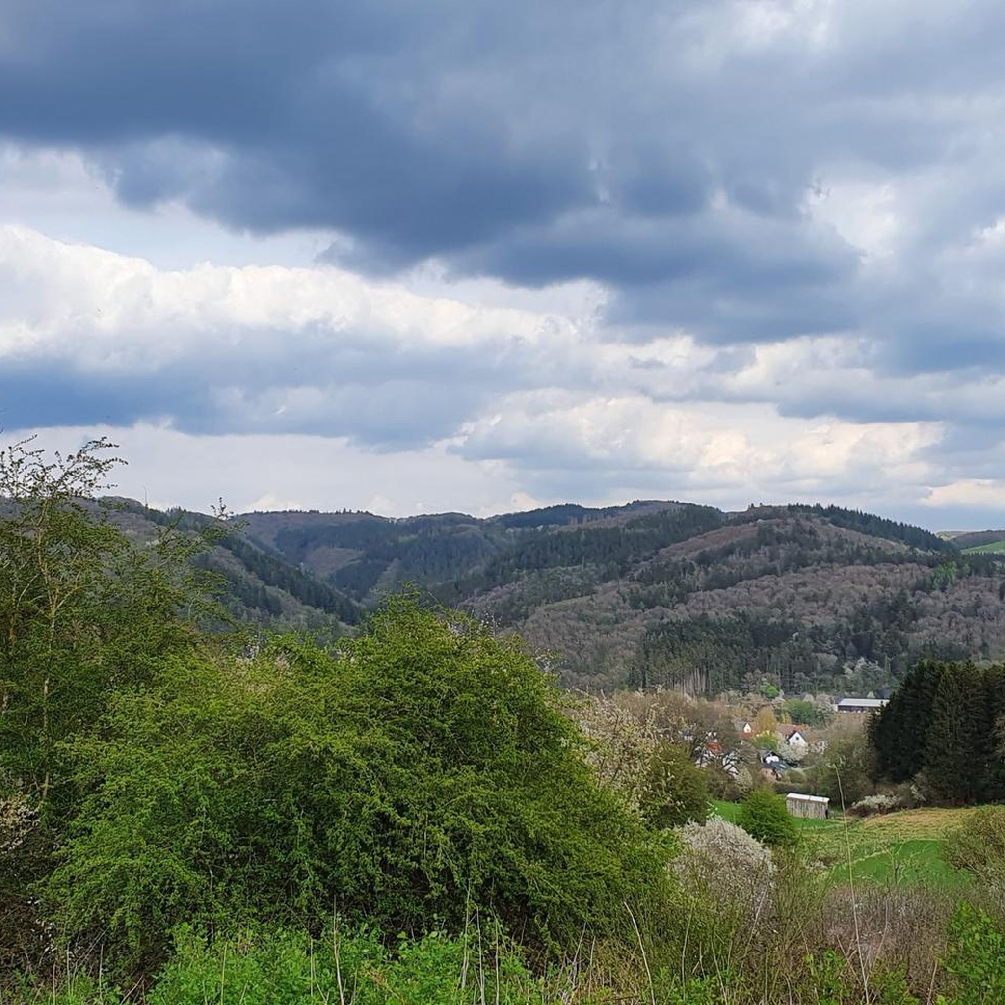
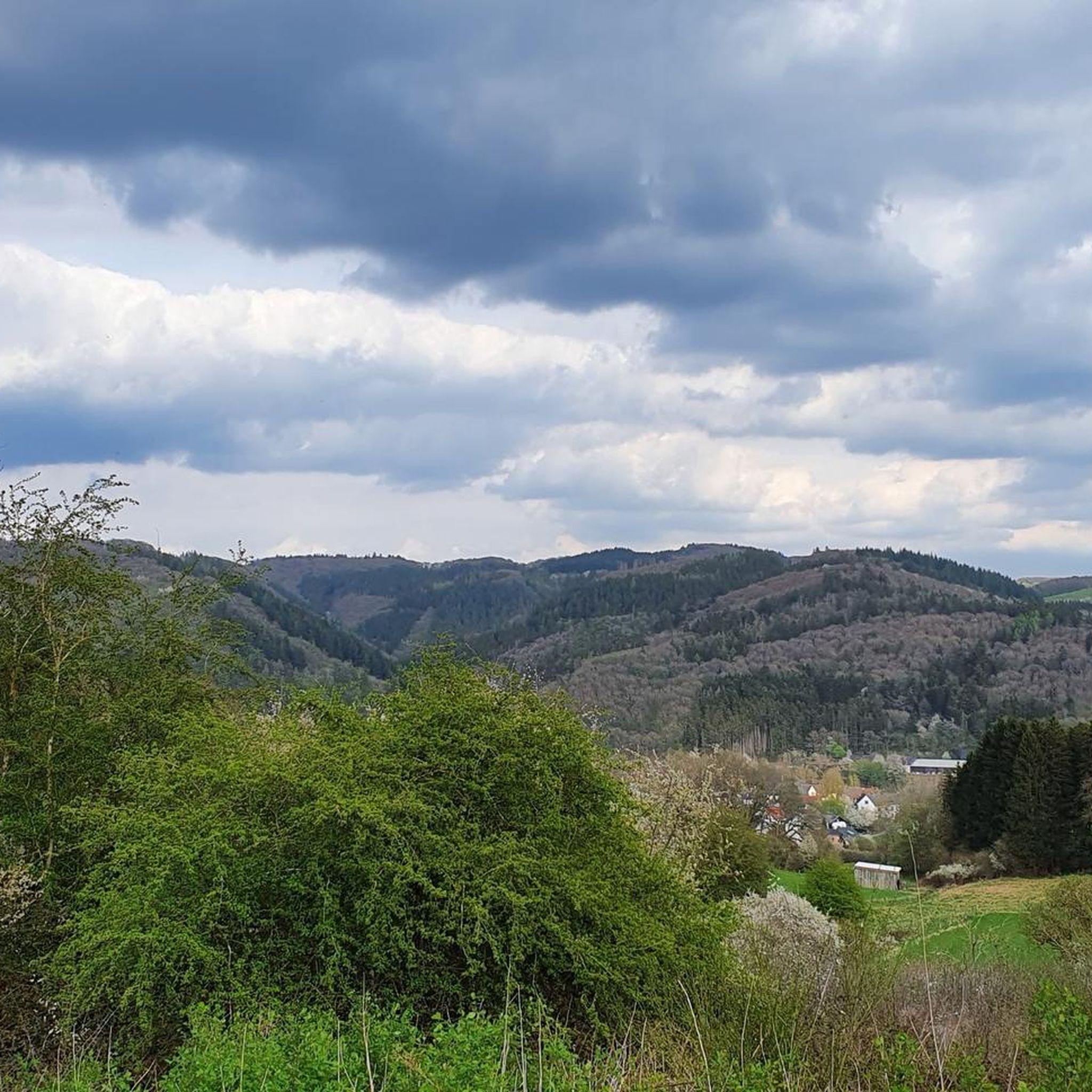
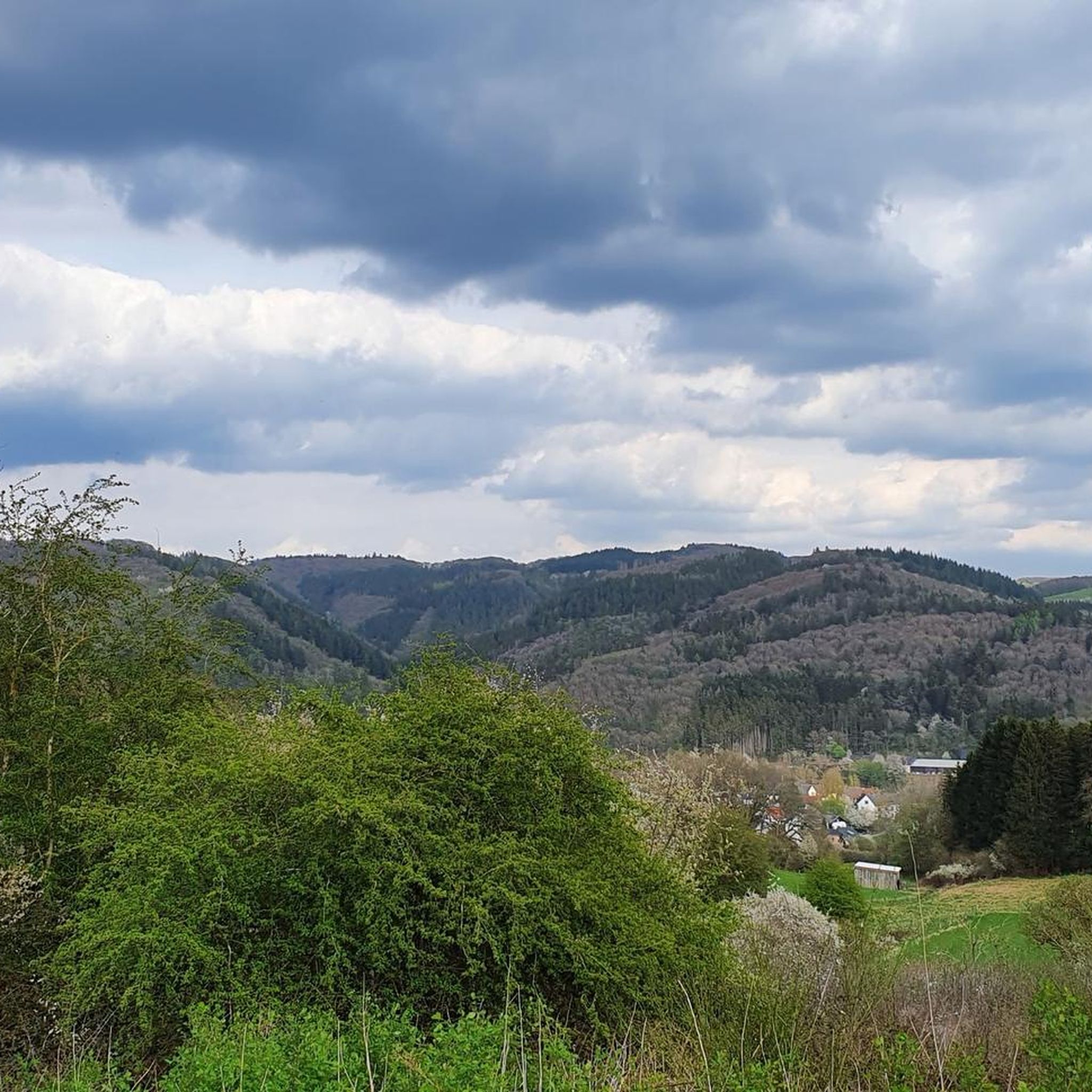
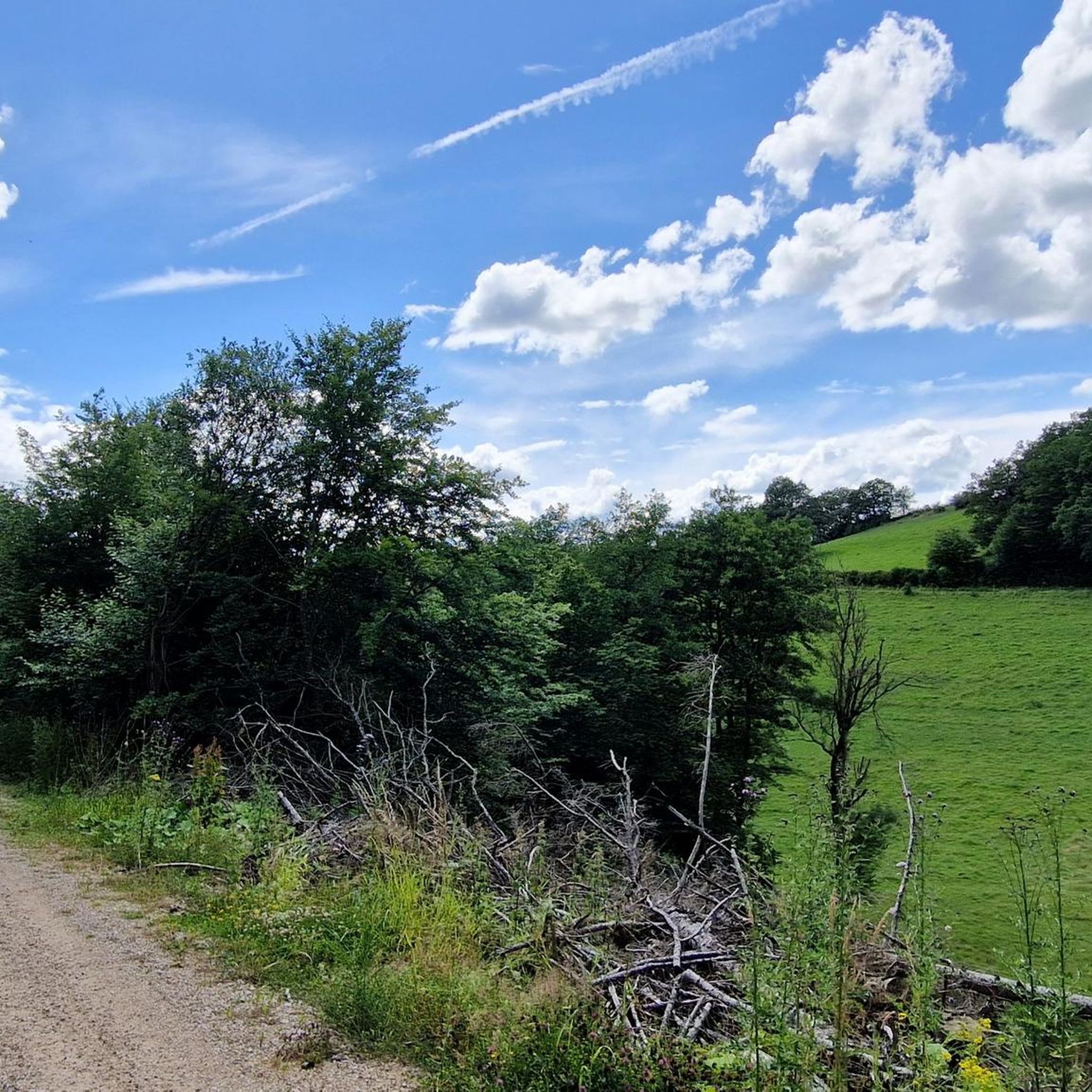
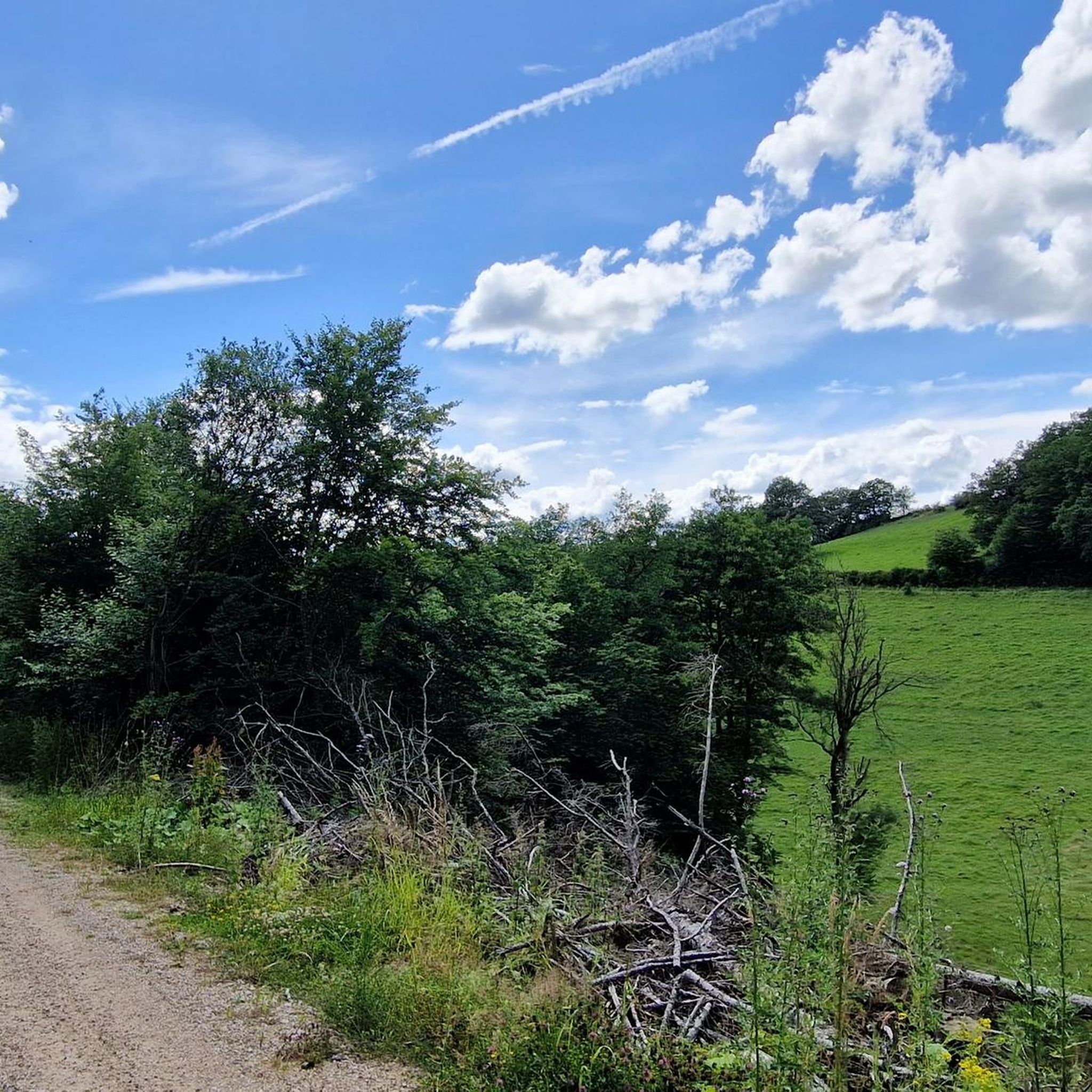
Gravel bike trails in Westliches Ahrgebiet traverse a landscape characterized by river valleys, dense forests, and rolling hills. The region features the Ahr river, which provides a central corridor for many routes, often incorporating sections of the Ahr Cycle Route. Elevation changes are common, with routes ranging from moderate to difficult, indicating varied terrain suitable for gravel biking. The area includes natural features like Freilinger Lake and extensive forest trails, offering diverse riding experiences.
Best gravel bike trails in Westliches…
Last updated: July 3, 2026
5.0
(1)
7
riders
39.0km
02:29
580m
580m
Hard gravel ride. Very good fitness required. Mostly paved surfaces. Suitable for all skill levels.
5.0
(1)
5
riders
19.5km
01:22
290m
290m
Moderate gravel ride. Good fitness required. Mostly paved surfaces. Suitable for all skill levels.

Sign up for free
1
riders
42.0km
02:36
560m
560m
Hard gravel ride. Very good fitness required. Mostly paved surfaces. Suitable for all skill levels.
5.0
(1)
8
riders
42.3km
02:48
510m
510m
Hard gravel ride. Very good fitness required. Mostly paved surfaces. Suitable for all skill levels.
6
riders
40.1km
02:36
620m
620m
Hard gravel ride. Very good fitness required. You may need to push your bike for some segments of this route.
Get access to more routes and recommendations from other explorers.
Sign up for free
Already have an account?
Our route recommendations are based on thousands of hikes, rides, and runs completed by other people on komoot.
Start today with a free account
Your next adventure awaits.
Login or Signup
Tips from the Community

Very beautiful old town with small alleys and quaint shops. There is a lot to discover here.
0
0


From here you have a beautiful view of the juniper heath near Alendorf.
1
0

Take plenty of drinks, sturdy shoes and time
0
0

A very beautiful swimming (reservoir) lake in the heart of the Eifel region. The lake itself isn't very large and can be circumnavigated quickly. The sunbathing lawn quickly fills up on summer days. There's a great lakeside bar, pedal boat rentals, and a designated area for dogs. From the lake, there are numerous options for all kinds of tours.
0
0

Eating at Breuer
0
0

Beautiful route along the stream.
4
0
The nature here is simply wonderful.
1
0
Frequently Asked Questions
How many gravel bike trails are available in Westliches Ahrgebiet?
Westliches Ahrgebiet offers a diverse network of over 20 gravel bike trails, catering to various skill levels. You'll find options ranging from easy loops to more challenging, difficult routes.
Are there easy gravel bike trails suitable for beginners or families?
Yes, the region has several easy and moderate gravel bike trails. For a less strenuous ride, consider the Auwälder Forest Trail – Ahr Cycle Route loop from Reetz, which is a moderate 12.1 miles (19.5 km) path combining forest trails with segments along the Ahr Cycle Route.
What are some of the more challenging gravel biking routes in Westliches Ahrgebiet?
For experienced gravel bikers seeking a challenge, the region offers 16 difficult routes. An example is the Freilinger Lake – Ahr Cycle Route loop from Dorsel, a 24.2 miles (39.0 km) trail with significant elevation changes, taking approximately 2 hours 29 minutes to complete.
Are there any circular gravel bike routes in the area?
Many of the gravel bike trails in Westliches Ahrgebiet are designed as loops, offering convenient circular routes. The Ahr Cycle Path (Ahr-Radweg) – Ahr Cycle Route loop from Dollendorf is a popular 26.1 miles (42.0 km) circular trail that follows the Ahr river valley.
What kind of scenery can I expect on the gravel bike trails?
The trails in Westliches Ahrgebiet traverse a varied landscape featuring river valleys, dense forests, and rolling hills. You'll often ride alongside the Ahr river, through natural areas like Freilinger Lake, and explore extensive forest paths, offering diverse natural beauty.
What are some interesting landmarks or attractions to see along the routes?
While gravel biking, you can encounter several points of interest. The Ahr Cycle Path itself is a prominent feature, and you might also pass by the Auelbach Stepping Stones or sections of the Upper Ahr Rail Trail. The NSG Western Ahr Area also offers scenic natural sections.
What do other gravel bikers say about the trails in Westliches Ahrgebiet?
The gravel bike trails in Westliches Ahrgebiet are highly regarded by the komoot community, holding an average rating of 4.8 stars from over 10 reviews. Riders frequently praise the varied terrain, the scenic river valleys, and the well-maintained forest trails.
What is the best time of year for gravel biking in Westliches Ahrgebiet?
Spring and autumn generally offer the most pleasant conditions for gravel biking in Westliches Ahrgebiet, with mild temperatures and beautiful natural scenery. Summer can also be enjoyable, especially on shaded forest trails, while winter riding is possible but may require more preparation for colder, potentially wet conditions.
Are there any long-distance gravel routes in the region?
Yes, some routes offer longer distances for extended rides. For example, the Auwälder Forest Trail – Ahr Cycle Route loop from Hümmel covers approximately 46.9 miles (75.5 km), providing a substantial gravel biking experience.
What kind of terrain can I expect on the gravel trails?
The terrain in Westliches Ahrgebiet is quite varied, characterized by a mix of gravel paths, forest roads, and sections along the paved Ahr Cycle Route. You'll encounter rolling hills and elevation changes, making for a dynamic riding experience suitable for gravel bikes.
Is public transport accessible near the gravel bike trails?
While specific public transport connections to every trailhead are not detailed, the Ahr river valley is generally well-connected by regional bus and train services, which can provide access to towns and starting points along the Ahr Cycle Route. It's advisable to check local transport schedules for specific routes.
Are there options for parking near the trailheads?
Many towns and villages along the Ahr river and near popular trail starting points typically offer public parking facilities. Look for designated parking areas in places like Dorsel, Reetz, or Dollendorf, which serve as common access points for the gravel routes.
Most popular routes in Westliches Ahrgebiet
Most popular attractions in Westliches Ahrgebiet

Get inspired with the komoot mobile app


Explore more
Browse the best Gravel rides in other regions.
