The best road cycling routes in Westliches Ahrgebiet
4.5
(97)
1,771
riders
121
rides
Road cycling routes in Westliches Ahrgebiet traverse a landscape characterized by river valleys, reservoirs, and undulating hills. The region, part of a natural park, features a mix of open scenic roads and forested sections. Road cyclists can expect varied terrain, including notable climbs and descents, offering diverse challenges.
Best road cycling routes in Westliches Ahrgebiet
- The most popular road cycling route is Kronenburg Reservoir – Swan Pond, Blankenheim loop from Ahrhütte, a 59.8 miles (96.3 km) trail that takes…
Last updated: July 1, 2026
9
riders
97.1km
04:20
950m
950m
Hard road ride. Very good fitness required. Mostly well-paved surfaces and easy to ride.
11
riders
20.4km
00:53
170m
170m
Easy road ride. Great for any fitness level. Mostly well-paved surfaces and easy to ride.

Sign up for free
10
riders
98.7km
05:05
1,650m
1,650m
Hard road ride. Very good fitness required. Some segments of this route may be unpaved and difficult to ride.
23
riders
Moderate road ride. Good fitness required. Mostly well-paved surfaces and easy to ride.
4.0
(1)
19
riders
44.1km
02:15
760m
770m
Moderate road ride. Good fitness required. Mostly well-paved surfaces and easy to ride.
Get access to more routes and recommendations from other explorers.
Sign up for free
Already have an account?
Our route recommendations are based on thousands of hikes, rides, and runs completed by other people on komoot.
Start today with a free account
Your next adventure awaits.
Login or Signup
Tips from the Community

Very beautiful old town with small alleys and quaint shops. There is a lot to discover here.
0
0

Southernmost station of the Kronenburger Art Trail KUNSTamWEG, Station 30.
0
0

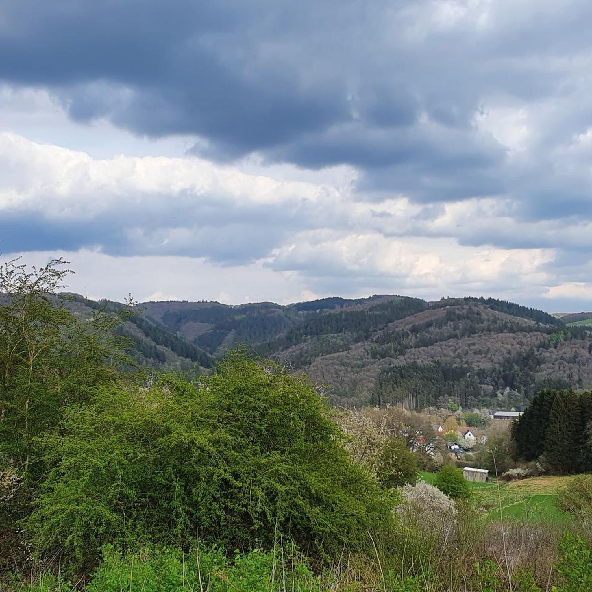
The scenery is very beautiful. A gravel bike is safer on the surface in autumn and when it's raining.
0
0

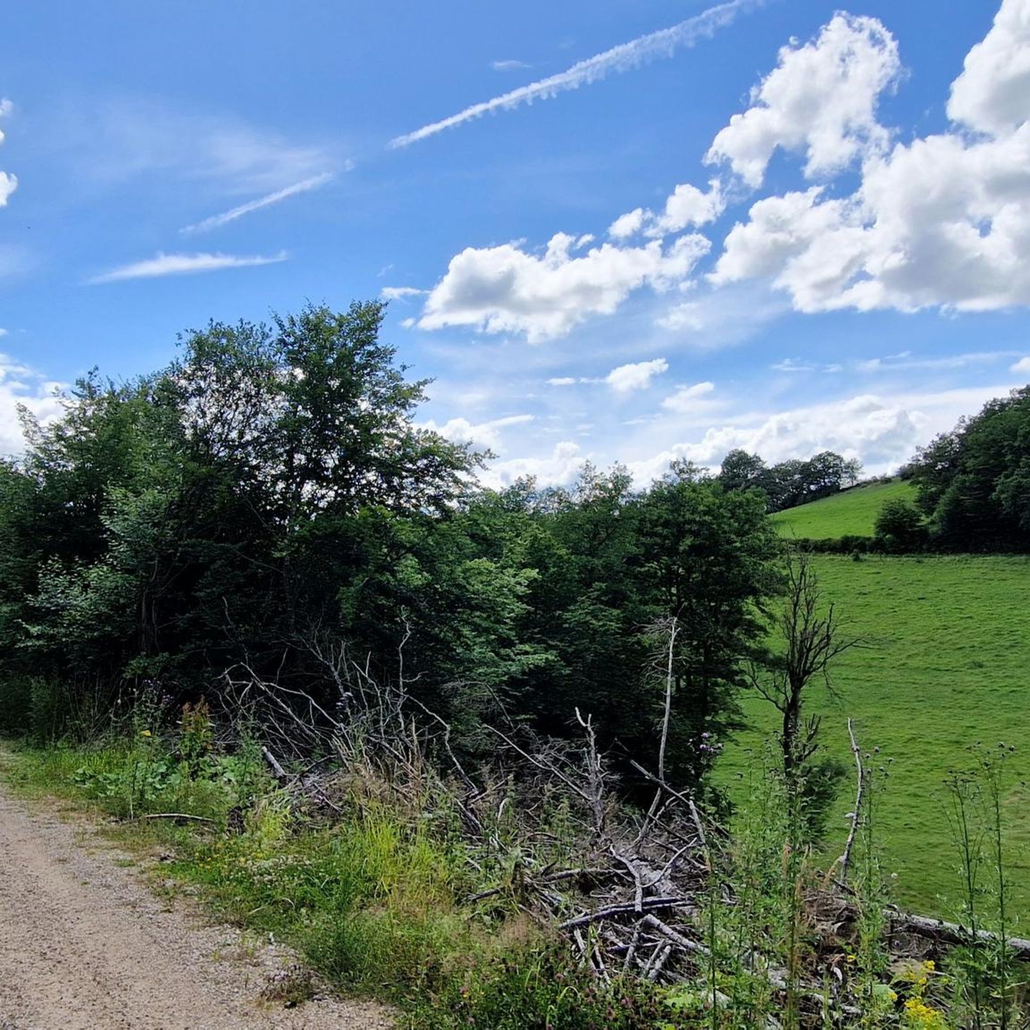
I immediately fell in love with this highlight. A fantastic valley road, fairly fresh ground, little traffic, lots of greenery, a few beautiful curves, a gentle downhill towards Altenahr, perfect for picking up the pace.
1
0
I immediately fell in love with this highlight. A fantastic valley road, fairly fresh ground, little traffic, lots of greenery, a few beautiful curves, a gentle downhill towards Altenahr, perfect for picking up the pace.
1
0

Kronenburg Open-Air Gallery
1
0

Beautiful climb from Burgsahr (Sahrbachtal) up to Winnen via a narrow asphalt road with serpentines.
0
0

After the outdoor pool closed, the Weiherpark in the North Rhine-Westphalian municipality was left to its own devices – a barely used and inaccessible brownfield site with dilapidated structures emerged near the town center. A park is now being created at the confluence of the Ahr and Giesenbach rivers that blends into the landscape and connects Blankenheim with the surrounding nature. The vision: a spacious, species-rich valley landscape in the immediate vicinity of the town center. The Weiherpark has been rebuilt and redesigned over decades. After the swimming pool closed in 2015, large parts of it remained unused; only the Swan Pond in the center of the park remained accessible. The ideas and wishes of the residents were incorporated into the redevelopment plans. Existing and unused facilities will be demolished and landscaped; The subsequently remodeled terrain will connect to the neighboring valleys, bringing nature directly into the town. The renaturalized Weiherpark will be accessible and accessible for everyone. Thanks to the exposure of the Giesenbach stream, its confluence with the Ahr will become an integral part of the park, creating a connection to the Ahr source in the nearby historic town center. Source: https://die-gruene-stadt.de/ein-gruenes-tal-kehrt-zurueck/
5
0
Frequently Asked Questions
How many road cycling routes are available in Westliches Ahrgebiet?
Westliches Ahrgebiet offers a wide selection of road cycling routes, with over 120 tours available on komoot. These routes cater to various skill levels, from easy rides to challenging climbs.
What kind of terrain can I expect when road cycling in Westliches Ahrgebiet?
The region is characterized by diverse terrain, including scenic river valleys, reservoirs, and undulating hills. You'll find a mix of open roads and forested sections, with notable climbs and descents that provide varied challenges for road cyclists.
Are there easy or beginner-friendly road cycling routes in Westliches Ahrgebiet?
Yes, Westliches Ahrgebiet has several easy road cycling routes suitable for beginners or those looking for a more relaxed ride. For example, the Swan Pond, Blankenheim – View of Blankenheim Castle loop from Ahrhütte is an easy 12.6-mile (20.3 km) trail.
What are some challenging road cycling routes in Westliches Ahrgebiet?
For experienced road cyclists seeking a challenge, routes like the Kronenburg Reservoir – Swan Pond, Blankenheim loop from Ahrhütte offer significant climbs and longer distances. Another difficult option is the Sahrbach Valley Scenic Road – Winnen Climb loop from Dorsel, featuring over 1600 meters of elevation gain.
What do other road cyclists say about the routes in Westliches Ahrgebiet?
The road cycling routes in Westliches Ahrgebiet are highly rated by the komoot community, with an average score of 4.5 stars from over 90 reviews. Cyclists often praise the varied terrain, scenic views, and the well-maintained paths through river valleys and hills.
Are there any scenic highlights or attractions along the road cycling routes?
Yes, the region offers several scenic points and attractions. You can cycle along the Ahr Cycle Path or explore the natural beauty of the NSG Western Ahr Area. Some routes also pass by landmarks like the Swan Pond and offer views of Blankenheim Castle.
What are the typical distances and durations for road cycling routes in Westliches Ahrgebiet?
Route distances vary significantly, from shorter loops around 12 miles (20 km) to longer, more demanding tours exceeding 60 miles (96 km). Durations can range from under an hour for easy rides to over 4 hours for difficult routes, depending on your pace and the route's elevation profile.
Are there any moderate road cycling routes for intermediate riders?
Absolutely. Many routes in Westliches Ahrgebiet are classified as moderate, providing a good balance of distance and elevation. A popular choice is the Sahrbach Valley Scenic Road – Sahrbach Valley loop from Westliches Ahrgebiet, a 49.5-mile (79.7 km) path offering extensive views.
Can I find circular road cycling routes in Westliches Ahrgebiet?
Most of the road cycling routes in Westliches Ahrgebiet are designed as circular loops, allowing you to start and end your ride at the same point. This includes popular options like the House Stein am Markt – Ascent to Wimbach loop from Dorsel.
What kind of views can I expect on the scenic road bike routes?
Scenic routes in Westliches Ahrgebiet often feature expansive views across river valleys, particularly in areas like the Sahrbach Valley. You'll also encounter picturesque reservoirs, rolling hills, and charming forested sections, providing a diverse visual experience.
How many road cyclists have explored Westliches Ahrgebiet using komoot?
Over 1600 road cyclists have already used komoot to explore the varied terrain and scenic routes of Westliches Ahrgebiet, highlighting its popularity among the cycling community.
Most popular routes in Westliches Ahrgebiet
Most popular attractions in Westliches Ahrgebiet

Get inspired with the komoot mobile app


Explore more
Browse the best Road cycling routes in other regions.
