The best gravel rides in Naturschutzgebiet Lichtenmoor
4.8
(9)
49
riders
2
rides
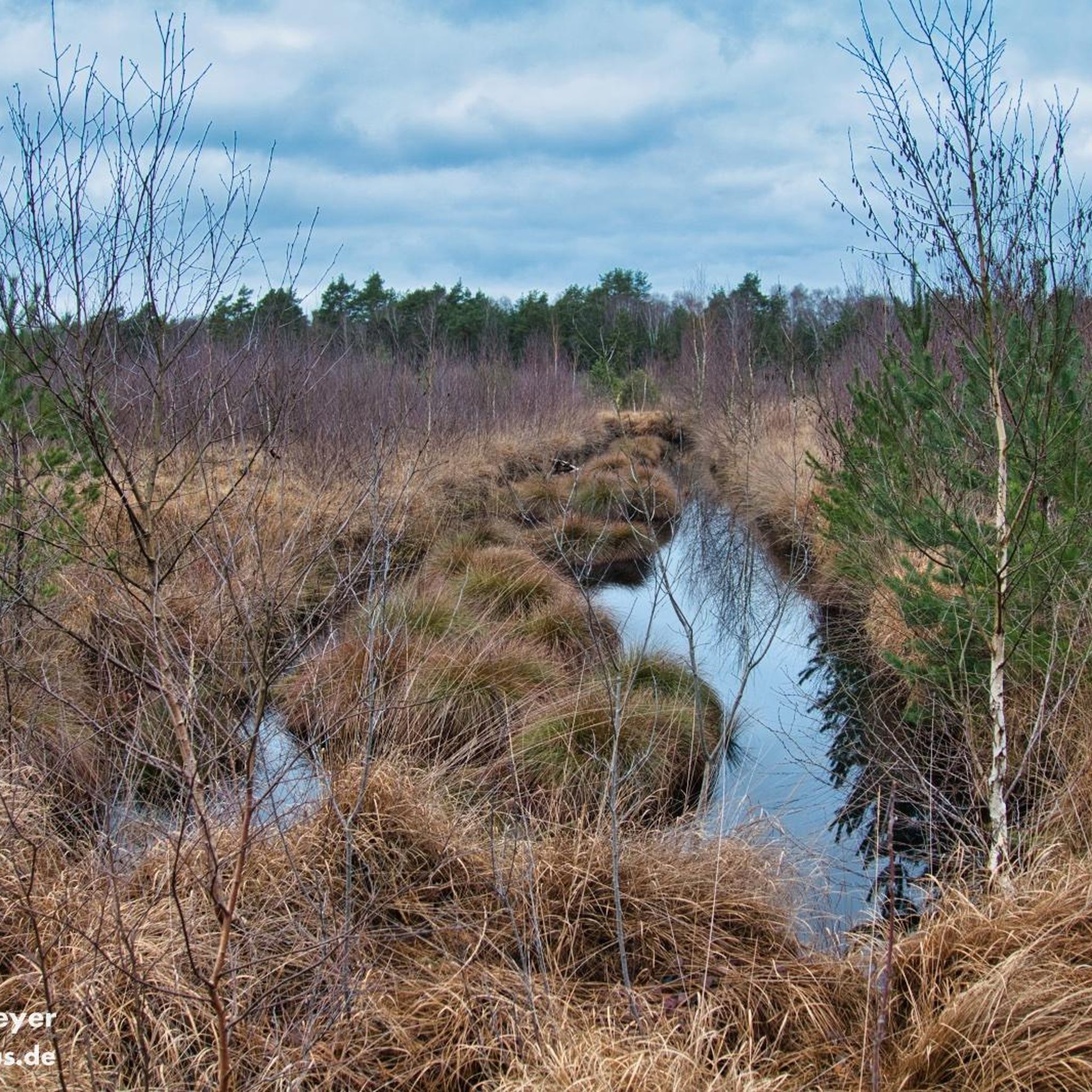
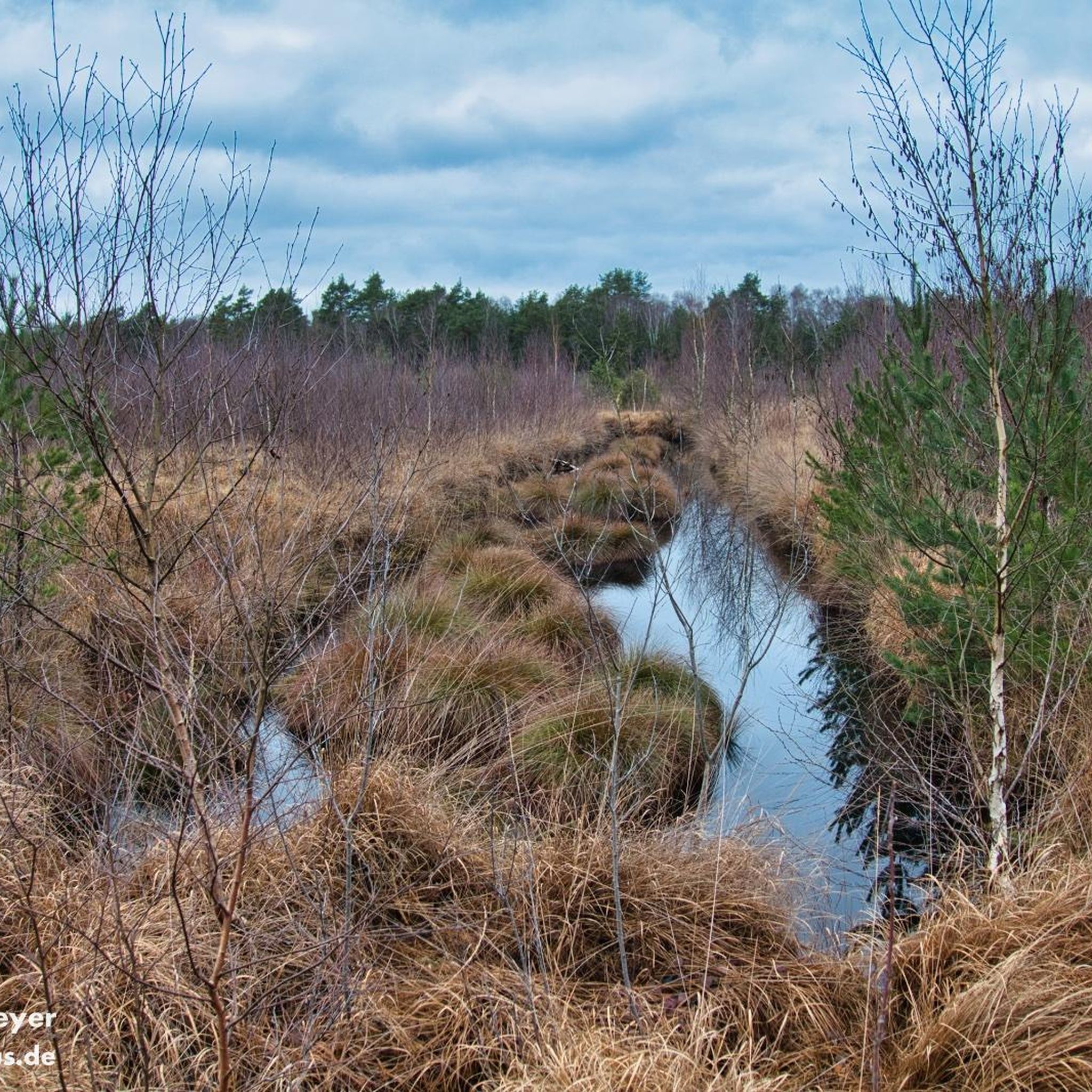
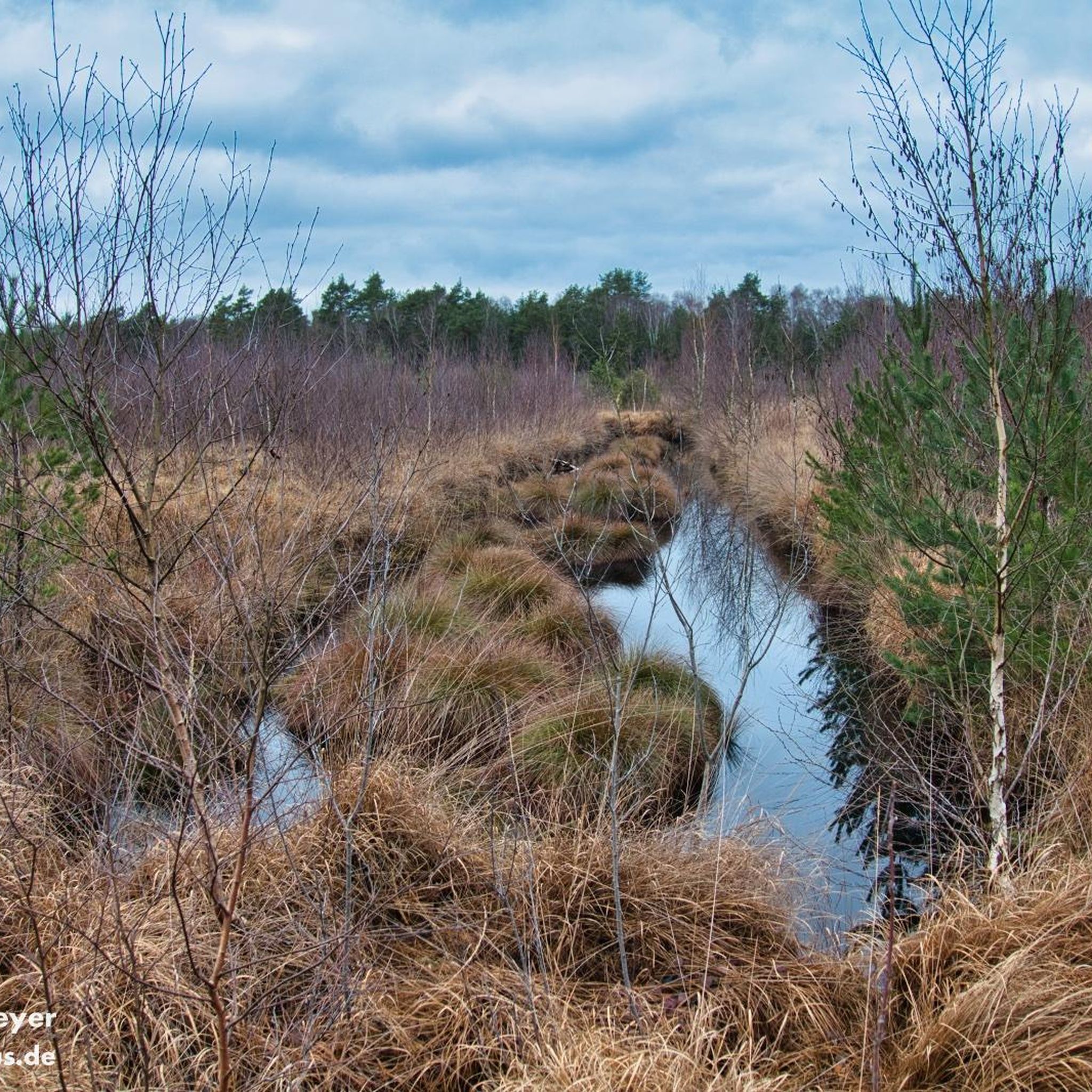
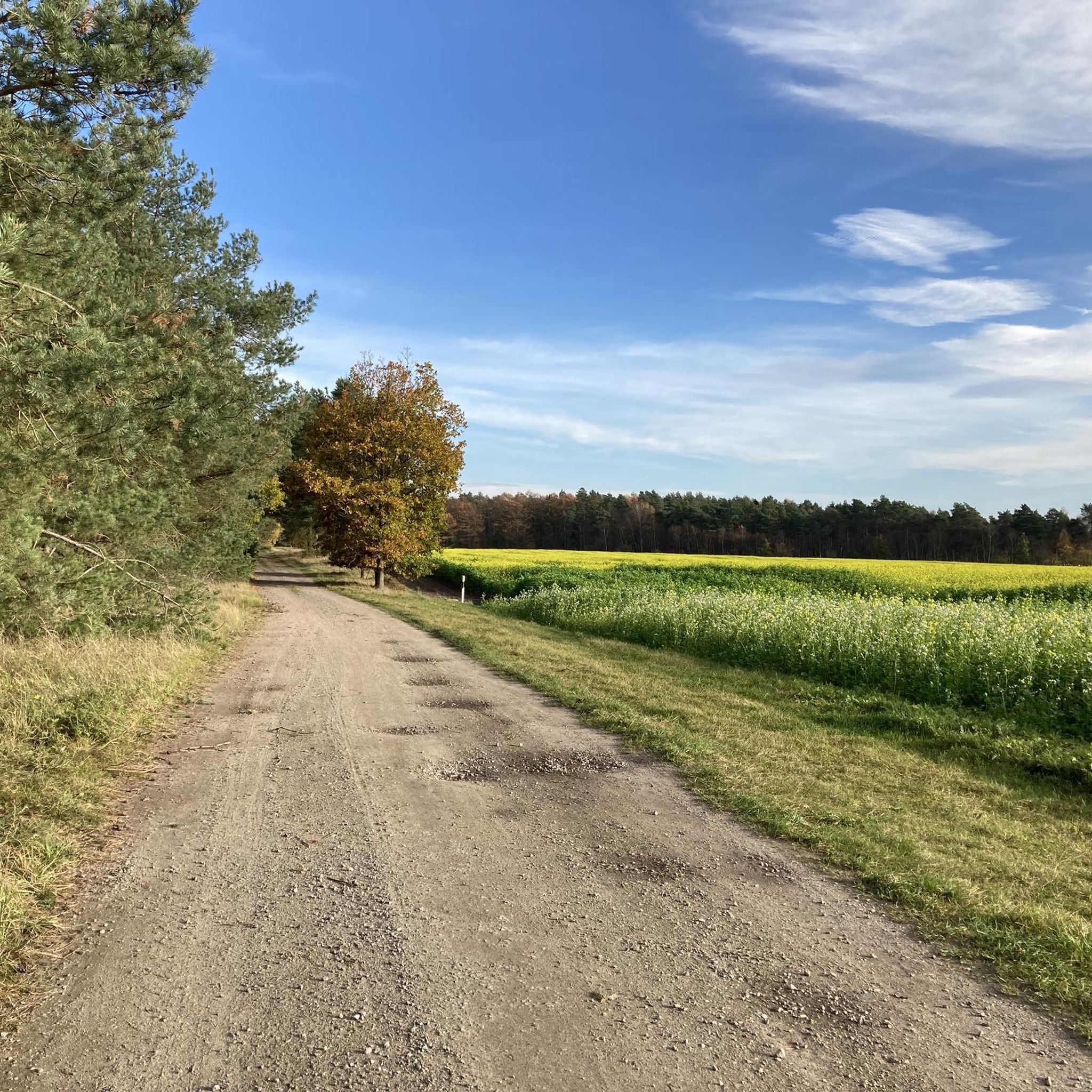
Gravel biking in Naturschutzgebiet Lichtenmoor traverses a landscape characterized by its moorland features, including remnants of a raised bog with still waters from old peat cuttings and quaking bogs. The area offers routes through moist and dry heathlands, interspersed with natural moor forests predominantly composed of birch and pine. This terrain provides easily-accessible paths suitable for gravel biking, with varied environments for exploration.
Best gravel bike trails in Naturschutzgebiet Lichtenmoor
- The most popular gravel bike trail is Railway Cycle Path…
Last updated: October 6, 2026
2
riders
Easy gravel ride. Great for any fitness level. Mostly paved surfaces. Suitable for all skill levels.
4.8
(9)
34
riders
41.5km
02:15
80m
80m
Moderate gravel ride. Good fitness required. Mostly paved surfaces. Suitable for all skill levels.

2
riders
59.0km
03:37
230m
230m
Hard gravel ride. Good fitness required. You may need to push your bike for some segments of this route.
6
riders
42.6km
02:23
130m
130m
Hard gravel ride. Good fitness required. You may need to push your bike for some segments of this route.
Our route recommendations are based on thousands of hikes, rides, and runs completed by other people on komoot.
Start today with a free account
Your next adventure awaits.
Tips from the Community


The historic stone arch bridge crosses the watercourse or the hollow in the forest area and is considered a popular photo motif for hikers and mountain bikers.
1
0

The Weser is very idyllic.
1
0
A beautiful path for strolling and relaxing.
0
0

The Freudenthalweg also leads along here. All information about the Freudenthalweg can be found at the following link: https://www.lueneburger-heide.de/natur/touren/4666/freudenthalweg-wanderweg-lueneburger-heide.html (Status: 08.06.2026).
0
0

Really very steep towards the Böhme.
2
0

The cycle path connection not only provides shorter routes to the city center and the eastern commercial areas of Verden, but also offers a vivid and relaxing nature experience. With the best views, the FFH and bird sanctuary above the Aller lowlands can be observed from a new perspective. For commuters from the municipality of Dörverden, the bike ride is shorter than before. At the same time, one can experience a sense of deceleration, even though the actual travel time has been reduced. Source: https://www.verden.de/portal/seiten/radbruecke-ueber-aller-und-waetern-907001521-20680.html
1
0
A pedestrian bridge opened in 2000, connecting Nienburg's city center with the western bank of the Weser River. It was built on the site of the first Nienburg Weser Bridge. This historic pedestrian bridge connects the city center with the district on the western bank. In the 18th century, the first stone Weser bridge was built on this site as a gift from King George of England. Until the end of the 19th century, this Weser crossing was the only one in the area. When a larger bridge was built a few hundred meters downstream, the first pedestrian bridge was built here, but it was destroyed in World War II. The bridgeless condition at this point lasted for almost 60 years. Source: https://www.nienburg.de/info/poi/wesertor-bruecke-1000814-21501.html
1
0
Frequently Asked Questions
How many gravel bike trails are available in Naturschutzgebiet Lichtenmoor?
Komoot offers a selection of gravel bike routes in Naturschutzgebiet Lichtenmoor, with three distinct trails currently featured. These routes cater to various preferences, including easy and moderate options.
What kind of terrain can I expect on gravel bike trails in Naturschutzgebiet Lichtenmoor?
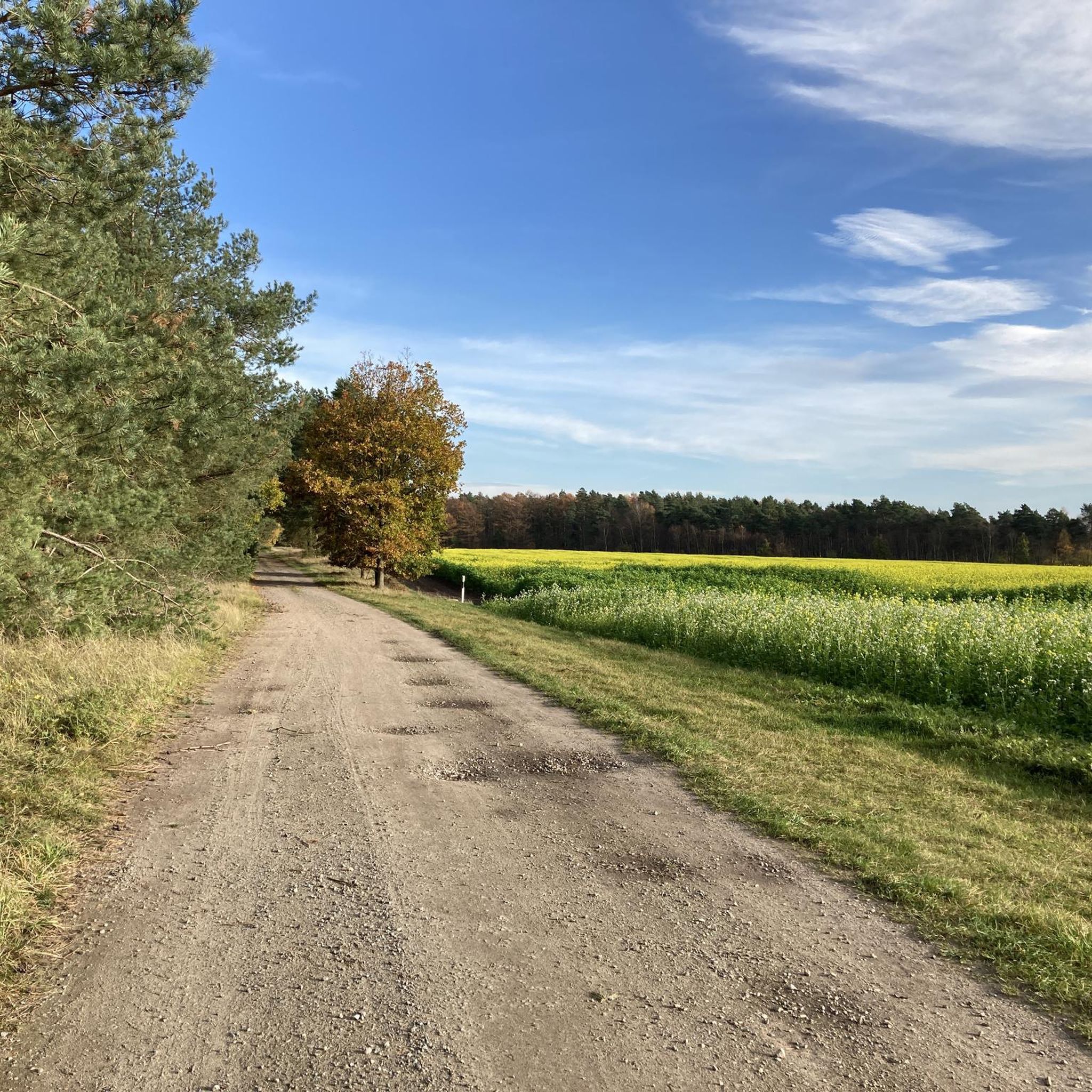
The terrain in Naturschutzgebiet Lichtenmoor is characterized by its unique moorland features. You'll find paths traversing moist and dry heathlands, as well as natural moor forests dominated by birch and pine. Many routes follow easily accessible paths, including former railway lines, offering a mix of open and wooded environments.
What is the best time of year for gravel biking in Naturschutzgebiet Lichtenmoor?
The spring and autumn months are generally ideal for gravel biking in Naturschutzgebiet Lichtenmoor. During these seasons, the weather is typically mild, and the natural landscapes, including the heathlands and moor forests, are particularly scenic. Summer can also be pleasant, but be mindful of warmer temperatures. Winter cycling is possible, but conditions may vary with frost or snow.
Are there gravel bike trails suitable for beginners in Naturschutzgebiet Lichtenmoor?
Yes, Naturschutzgebiet Lichtenmoor offers several easy gravel bike trails suitable for beginners. For instance, the Railway Cycle Path Rethem–Ahlden – Cycle path along the Aller at Rethem loop from Rethem (Aller) is an easy 10.4-mile (16.7 km) route that follows a flat, accessible former railway line. Another easy option is the Rethemer See – Aller Bridge loop from Rethem (Aller), which is 13.5 miles (21.8 km) long.
What are the typical lengths of gravel bike routes in the area?
Gravel bike routes in Naturschutzgebiet Lichtenmoor vary in length. You can find shorter, easy loops around 10-13 miles (16-22 km), such as the Railway Cycle Path Rethem–Ahlden – Cycle path along the Aller at Rethem loop from Rethem (Aller). There are also longer, moderate options like the Allertalbahn Cycle Path – View of the Aller Valley loop from Rethem (Aller), which extends to 25.8 miles (41.5 km).
Is there parking available for cyclists in Naturschutzgebiet Lichtenmoor?
While specific parking areas for cyclists are not detailed for every route, general parking is typically available at common starting points or nearby towns like Rethem (Aller), which serves as a base for several routes. It's advisable to check local signage upon arrival for designated parking spots.
Can I reach Naturschutzgebiet Lichtenmoor by public transport for cycling?
Access to Naturschutzgebiet Lichtenmoor by public transport for cycling can be limited, as the area is primarily rural. While some regional bus services might operate, direct connections to trailheads with bike transport options may not be readily available. Planning your journey to a nearby town like Rethem (Aller) and cycling from there is often the most practical approach.
Are there family-friendly gravel bike routes in Naturschutzgebiet Lichtenmoor?
Yes, the easier gravel bike routes in Naturschutzgebiet Lichtenmoor are generally suitable for families. The flat and accessible paths, particularly those following former railway lines, provide a safe and enjoyable experience for riders of varying ages and skill levels. The Railway Cycle Path Rethem–Ahlden – Cycle path along the Aller at Rethem loop from Rethem (Aller) is a good example of a family-friendly option.
Are dogs allowed on the gravel bike trails in Naturschutzgebiet Lichtenmoor?
Naturschutzgebiet Lichtenmoor is a nature reserve, and while dogs are generally allowed on public paths, they must be kept on a leash at all times to protect the diverse wildlife, especially ground-nesting birds and other sensitive species. Always respect local regulations and signage regarding pets within the reserve.
What natural features or wildlife might I encounter while gravel biking in Lichtenmoor?
Naturschutzgebiet Lichtenmoor is rich in natural beauty and ecological significance. You might encounter remnants of a raised bog, still waters from old peat cuttings, and fascinating quaking bogs. The reserve is an important breeding and resting area for various bird species, including cranes. Keep an eye out for reptiles like adders and sand lizards, and unique plants such as the round-leaved sundew and bog rosemary.
What do other gravel bikers enjoy the most about gravel biking in Naturschutzgebiet Lichtenmoor?
The area is highly rated by the komoot community, with an average score of 4.7 stars. Reviewers often praise the unique moorland landscapes, the peaceful atmosphere, and the well-maintained paths that make for enjoyable and accessible gravel biking. The varied environments, from heathlands to moor forests, also contribute to a dynamic outdoor experience.
Are there any loop gravel bike trails in Naturschutzgebiet Lichtenmoor?
Yes, all the featured gravel bike routes in Naturschutzgebiet Lichtenmoor are designed as loops, allowing you to start and end your ride at the same point. Examples include the Railway Cycle Path Rethem–Ahlden – Cycle path along the Aller at Rethem loop from Rethem (Aller) and the Allertalbahn Cycle Path – View of the Aller Valley loop from Rethem (Aller).
Most popular routes in Naturschutzgebiet Lichtenmoor

Get inspired with the komoot mobile app


Explore more
Browse the best Gravel rides in other regions.
