The best gravel rides in Hochwasserrückhaltebecken Alfhausen-Rieste
4.7
(72)
170
riders
5
rides
Gravel biking in Hochwasserrückhaltebecken Alfhausen-Rieste offers routes through a landscape shaped by water management and agricultural areas. The terrain typically features flat to gently rolling paths along river courses and around the basin, interspersed with open fields and some forested sections. This region provides a network of 13 gravel bike trails, suitable for various skill levels.
Best gravel bike trails in Hochwasserrückhaltebecken Alfhausen-Rieste
- The most popular gravel bike trail is River Hase – View of the River Hase loop from…
Last updated: August 27, 2026
5.0
(1)
11
riders
46.9km
03:06
530m
530m
Hard gravel ride. Very good fitness required. You may need to push your bike for some segments of this route.
4.2
(6)
17
riders
50.1km
03:04
340m
340m
Hard gravel ride. Good fitness required. You may need to push your bike for some segments of this route.

Sign up for free
5.0
(6)
8
riders
69.8km
03:51
90m
90m
Moderate gravel ride. Good fitness required. Mostly paved surfaces. Suitable for all skill levels.
3
riders
41.4km
02:33
340m
340m
Hard gravel ride. Good fitness required. You may need to push your bike for some segments of this route.
5.0
(26)
3
riders
Easy gravel ride. Great for any fitness level. Mostly paved surfaces. Suitable for all skill levels.
Our route recommendations are based on thousands of hikes, rides, and runs completed by other people on komoot.
Start today with a free account
Your next adventure awaits.
Login or Signup
Popular around Hochwasserrückhaltebecken Alfhausen-Rieste
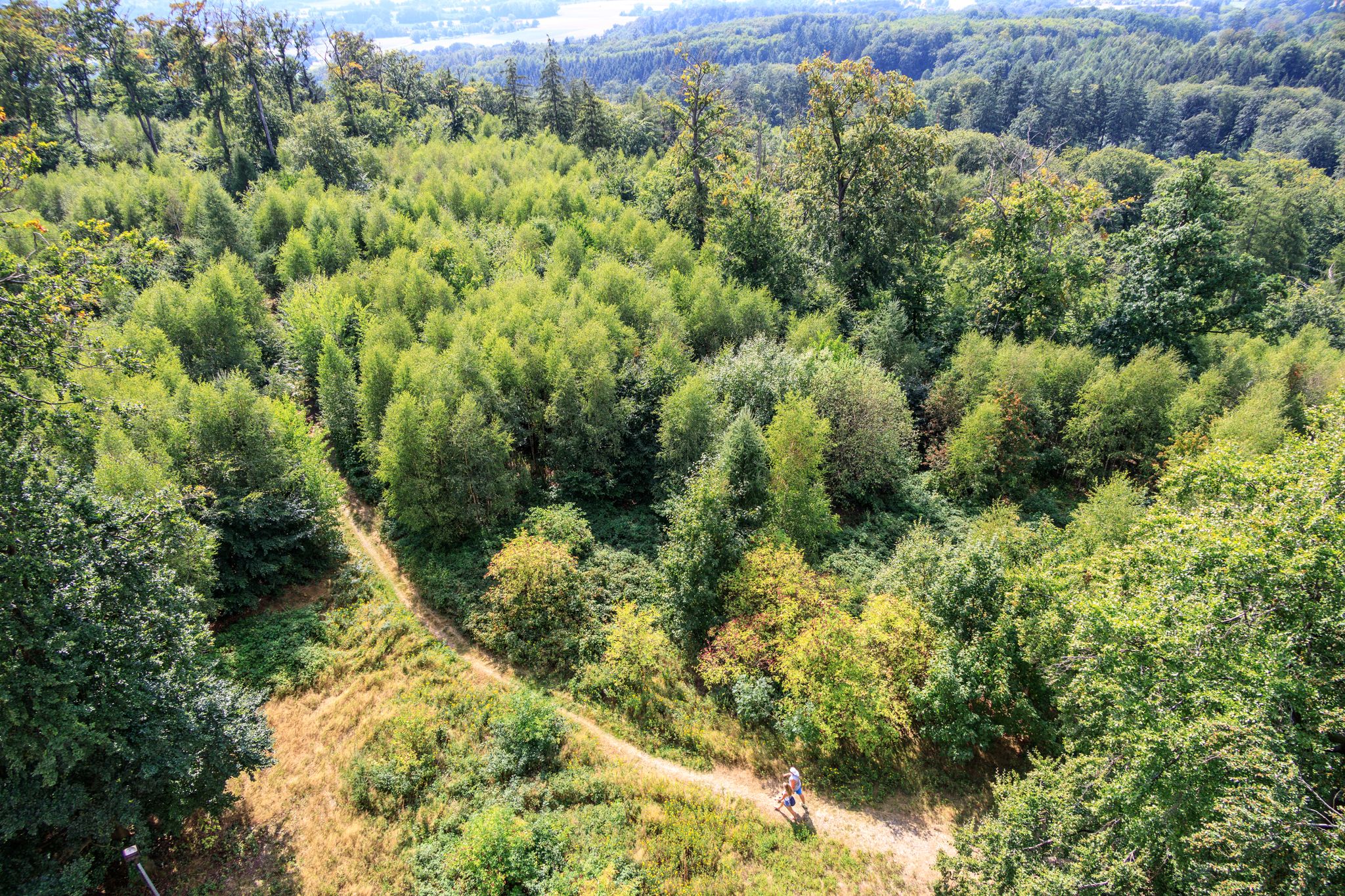
Forest, water, hiking pleasure — Germany’s Osnabrück Land
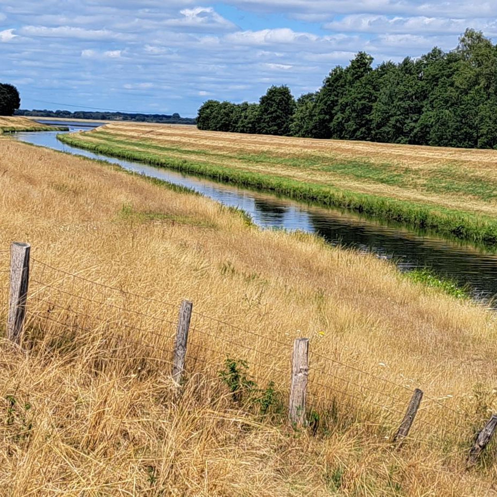
Cycling in Hochwasserrückhaltebecken Alfhausen-Rieste
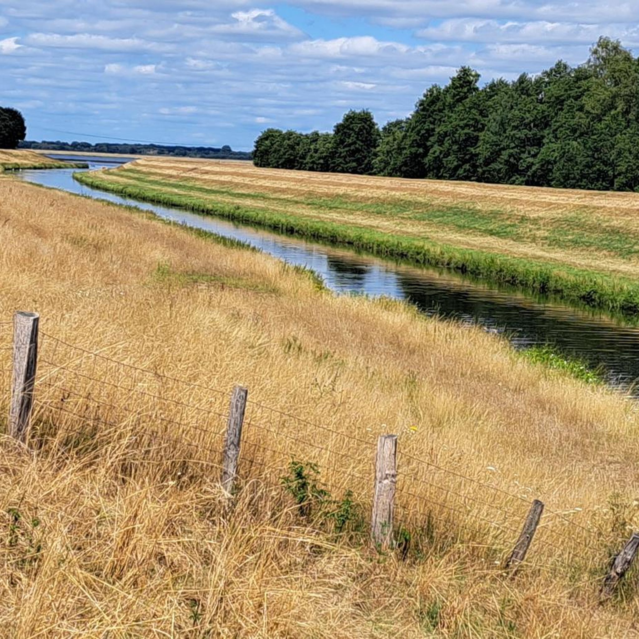
Running Trails in Hochwasserrückhaltebecken Alfhausen-Rieste
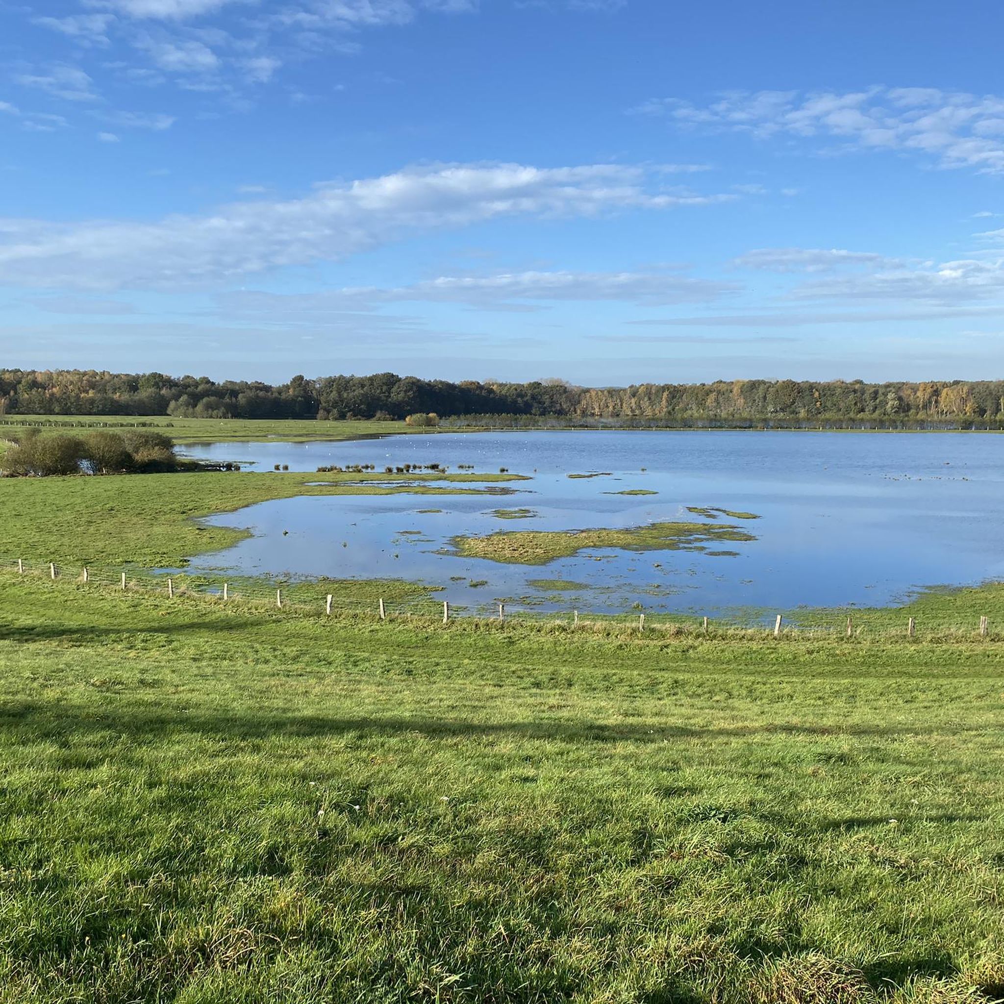
Hiking in Hochwasserrückhaltebecken Alfhausen-Rieste
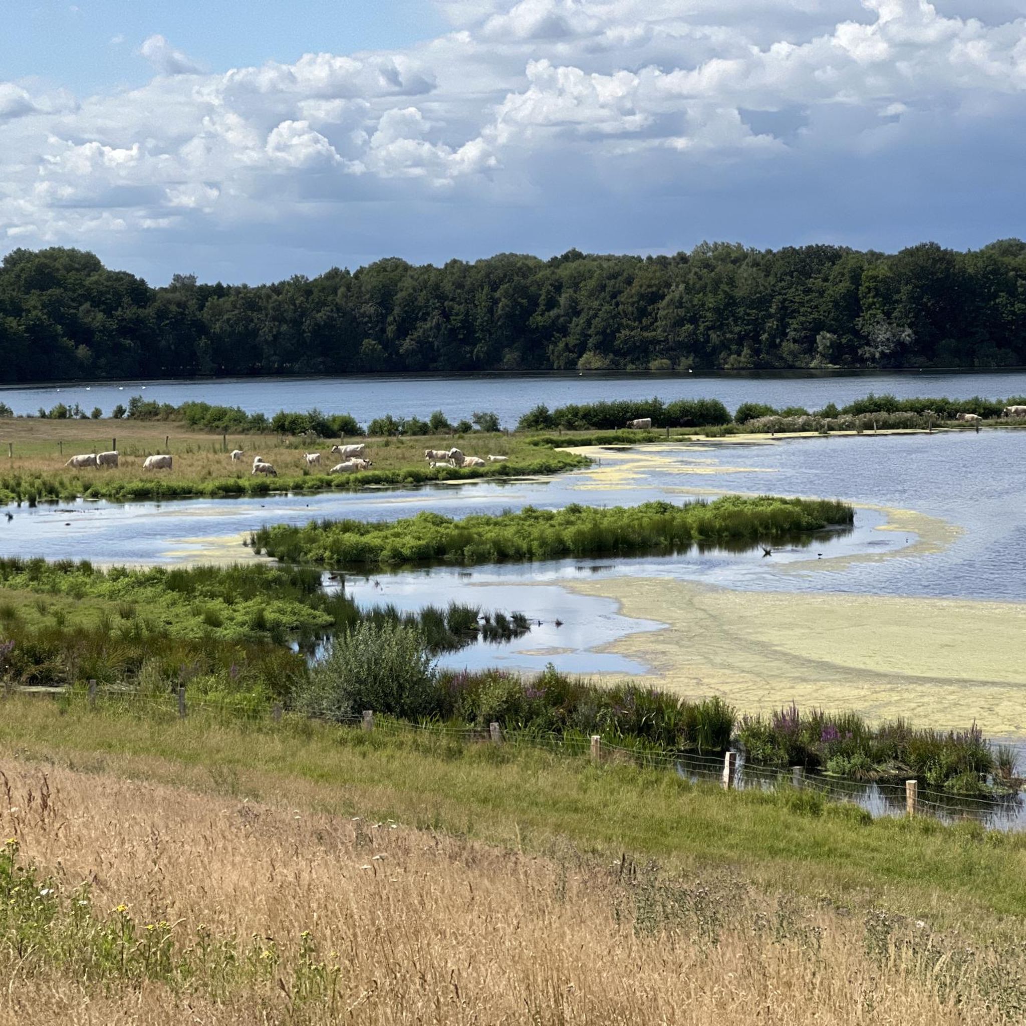
MTB Trails in Hochwasserrückhaltebecken Alfhausen-Rieste
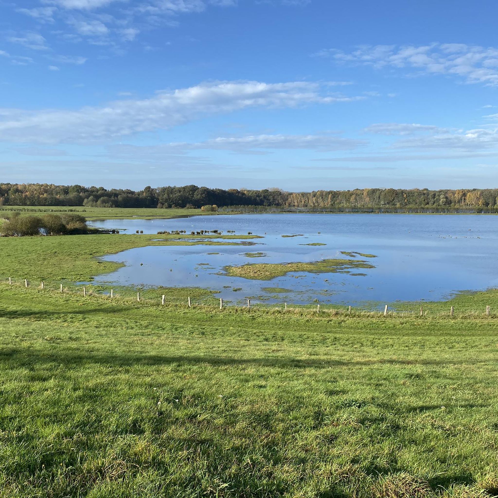
Road Cycling Routes in Hochwasserrückhaltebecken Alfhausen-Rieste
Other adventures in Hochwasserrückhaltebecken Alfhausen-Rieste

Tips from the Community

The east side is better than the west side.
1
0

There are many benches along the Mittellandkanal as resting places.
0
0
Easy-to-ride cycle path
0
0

The swimming lake is fed by clear spring water, which is said to ensure good water quality.
1
0

A sturdy little rest and shelter hut. Inside, it has benches and a table. Built and maintained by the Bramsche Local History and Tourism Association. Opposite is a beautiful bench with a red flower carved into it. This is also Emergency Site 22. There are also various hiking trail markers at the corner.
0
0
Perfect for a hiking destination because it's visible from far away. Cute guy ropes :-).
0
0
New bank on the Hase
0
0

Here you cross the Mittelland Canal. If you have time, you can observe many ships here.
4
0
Frequently Asked Questions
How many gravel bike trails are available in Hochwasserrückhaltebecken Alfhausen-Rieste?
The Hochwasserrückhaltebecken Alfhausen-Rieste region offers a network of 13 gravel bike trails. These routes cater to various skill levels, from easy to difficult.
Are there gravel bike routes suitable for beginners or families?
Yes, there are 4 easy gravel bike routes in the region, perfect for beginners or families looking for a relaxed ride. One such route is the Venner Berg Observation Tower – Venne Observation Tower loop from Feuchtgrünland, Feuchtbrache 'Im Elhorn', which is 25.9 km long and features gentle elevation changes.
What kind of terrain can I expect on the gravel bike trails?
The terrain in Hochwasserrückhaltebecken Alfhausen-Rieste typically features flat to gently rolling paths. You'll ride along river courses, around the basin, through open fields, and some forested sections, characteristic of a landscape shaped by water management and agriculture.
Are there any challenging gravel bike routes for experienced riders?
For experienced gravel bikers, there are 2 difficult routes available. One popular option is the Mittelland Canal – Market Square, Bramsche loop from Bramsche, a 46.3 km path that navigates along the Mittelland Canal, connecting urban and rural landscapes.
What are the typical lengths of gravel bike trails in the region?
Gravel bike trails in Hochwasserrückhaltebecken Alfhausen-Rieste vary in length. For example, the River Hase – View of the River Hase loop from Bramsche is 49.7 km, while the Recke Marina – River Hase loop from Bramsche is 69.8 km, offering options for both shorter and longer rides.
What can I see along the gravel bike trails in Hochwasserrückhaltebecken Alfhausen-Rieste?
Many routes offer views of the Alfsee lake and its surrounding natural environment. You can explore highlights such as the Alfsee itself, the Alfsee Overflow Weir, and the North shore of the Alfsee. The Alfsee Reserve Basin Nature Reserve also offers opportunities for nature observation.
Are there circular gravel bike routes available?
Yes, many of the gravel bike trails in Hochwasserrückhaltebecken Alfhausen-Rieste are designed as circular routes, allowing you to start and end at the same point. Examples include the River Hase – View of the River Hase loop from Bramsche and the Mittelland Canal – Market Square, Bramsche loop from Bramsche.
When is the best time of year to go gravel biking in this region?
The region is generally pleasant for gravel biking from spring through autumn, when the weather is mild and the paths are dry. While some routes may be accessible in winter, conditions can be wet or icy, so checking local weather forecasts is advisable.
What do other gravel bikers enjoy most about the trails here?
The gravel bike trails in Hochwasserrückhaltebecken Alfhausen-Rieste are highly rated by the komoot community, with an average score of 4.7 stars from over 70 reviews. Riders often praise the varied terrain, which includes riverside paths, canal-side routes, and open agricultural landscapes, offering a diverse and enjoyable experience.
Is parking available near the gravel bike trails?
Yes, parking is generally available at common starting points for many routes, particularly in and around towns like Bramsche and near popular attractions such as the Alfsee. Specific parking information can often be found on individual route pages on komoot.
Can I access the gravel bike trails using public transport?
While some routes may be accessible by public transport, especially those starting or passing through larger towns like Bramsche, direct access to all trailheads might be limited. It's recommended to check local bus or train schedules and connections to your chosen starting point.
Are there cafes or places to stop for refreshments along the routes?
Given the mix of urban and rural landscapes, you will find opportunities for refreshments. Routes passing through towns or near popular spots like the Alfsee often have cafes, restaurants, or kiosks where you can stop for a break.
Most popular routes in Hochwasserrückhaltebecken Alfhausen-Rieste
Most popular attractions in Hochwasserrückhaltebecken Alfhausen-Rieste

Get inspired with the komoot mobile app


Explore more
Browse the best Gravel rides in other regions.
