The best running trails in Hochwasserrückhaltebecken Alfhausen-Rieste
4.4
(253)
3,753
runners
328
runs
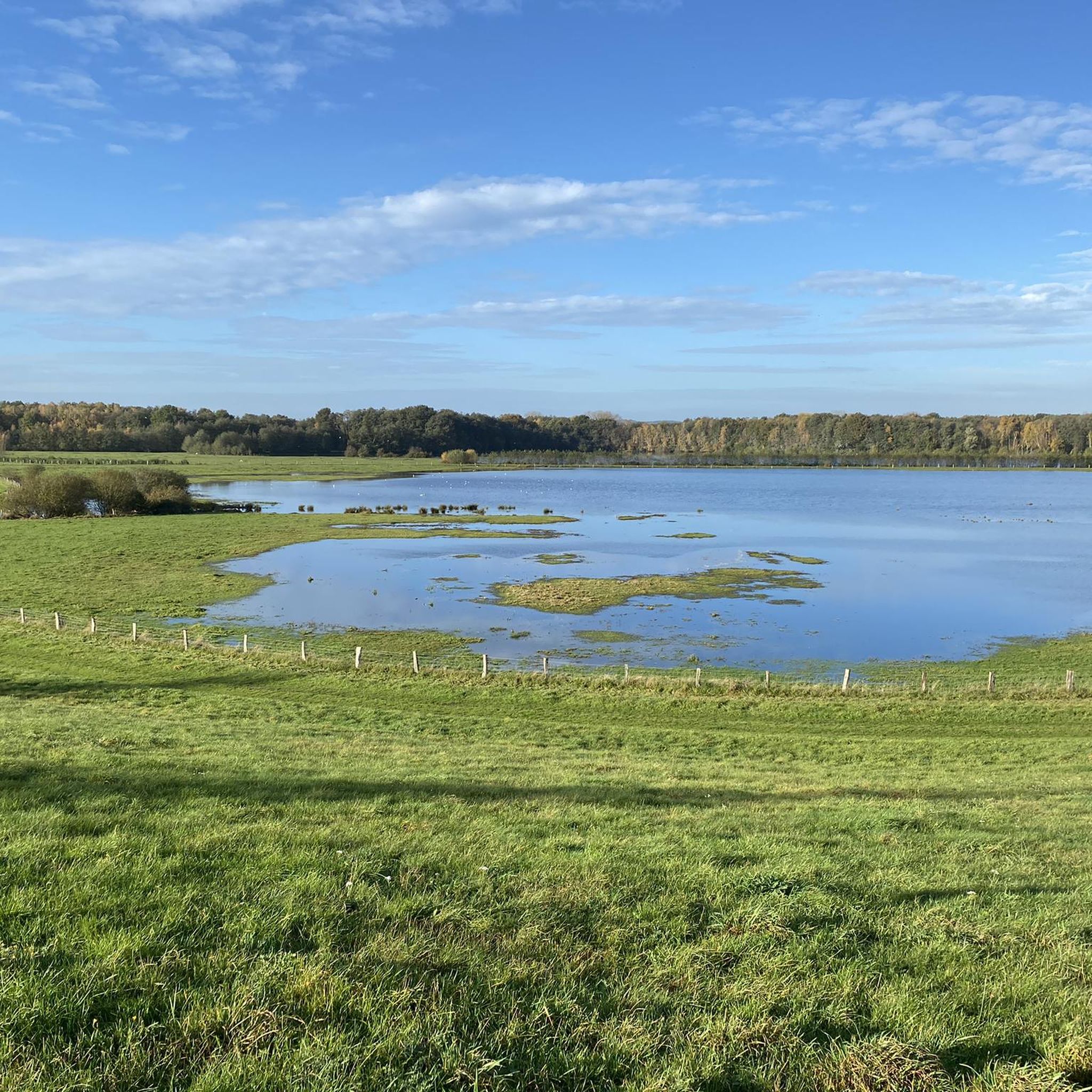
Jogging in Hochwasserrückhaltebecken Alfhausen-Rieste offers diverse natural features within a designated nature reserve. The area is characterized by a structured lowland landscape, encompassing the main Alfsee basin, a settling basin, and a dry reserve basin. Jogging routes often follow dikes that provide views over the water, greenlands, and small forests, creating a tranquil environment for outdoor activity.
Best jogging routes in Hochwasserrückhaltebecken Alfhausen-Rieste
- The most popular jogging route is Alfsee Overflow Weir – Alfsee South Dam loop from Rüsskamps Pött…
Last updated: July 5, 2026
4.7
(45)
572
runners
10.6km
01:07
20m
20m
Moderate run. Good fitness required. Mostly paved surfaces. Suitable for all skill levels.
4.1
(7)
85
runners
12.8km
01:23
20m
20m
Moderate run. Good fitness required. Mostly paved surfaces. Suitable for all skill levels.

Sign up for free
5.0
(5)
64
runners
5.30km
00:35
10m
10m
Moderate run. Good fitness required. Mostly paved surfaces. Suitable for all skill levels.
5.0
(5)
56
runners
4.41km
00:29
10m
10m
Easy run. Great for any fitness level. Mostly paved surfaces. Suitable for all skill levels.
4.8
(4)
21
runners
5.06km
00:33
10m
10m
Moderate run. Good fitness required. Mostly paved surfaces. Suitable for all skill levels.
Get access to more routes and recommendations from other explorers.
Sign up for free
Already have an account?
Our route recommendations are based on thousands of hikes, rides, and runs completed by other people on komoot.
Start today with a free account
Your next adventure awaits.
Login or Signup
Popular around Hochwasserrückhaltebecken Alfhausen-Rieste
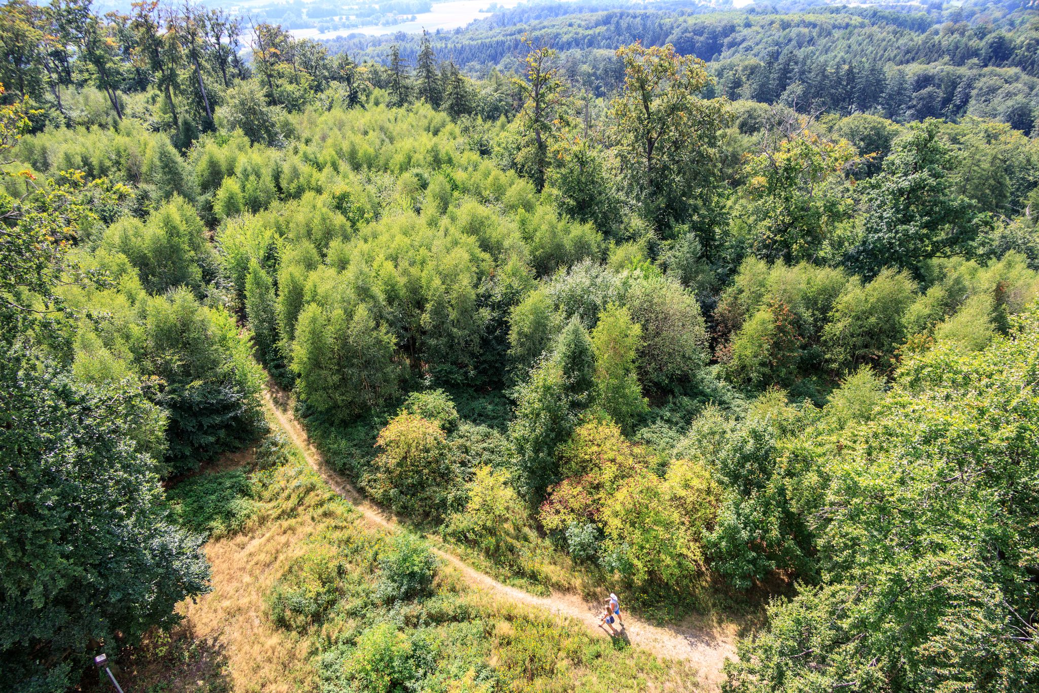
Forest, water, hiking pleasure — Germany’s Osnabrück Land
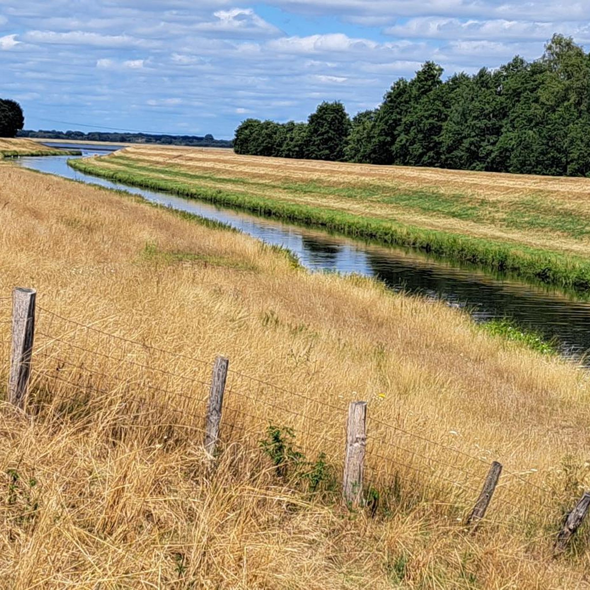
Cycling in Hochwasserrückhaltebecken Alfhausen-Rieste
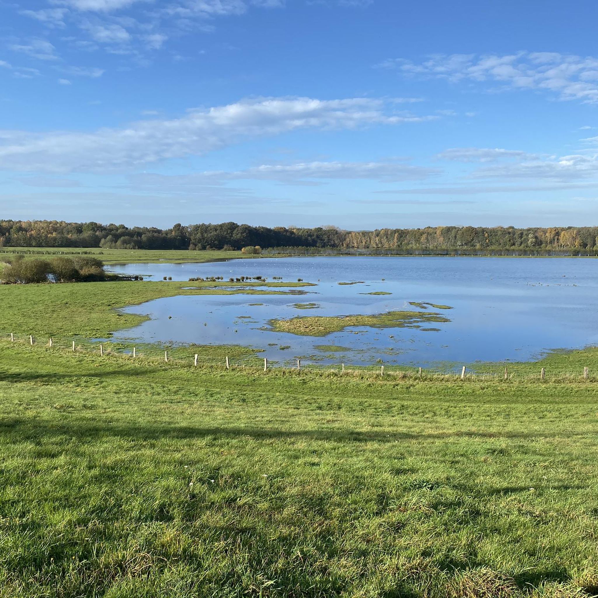
Hiking in Hochwasserrückhaltebecken Alfhausen-Rieste
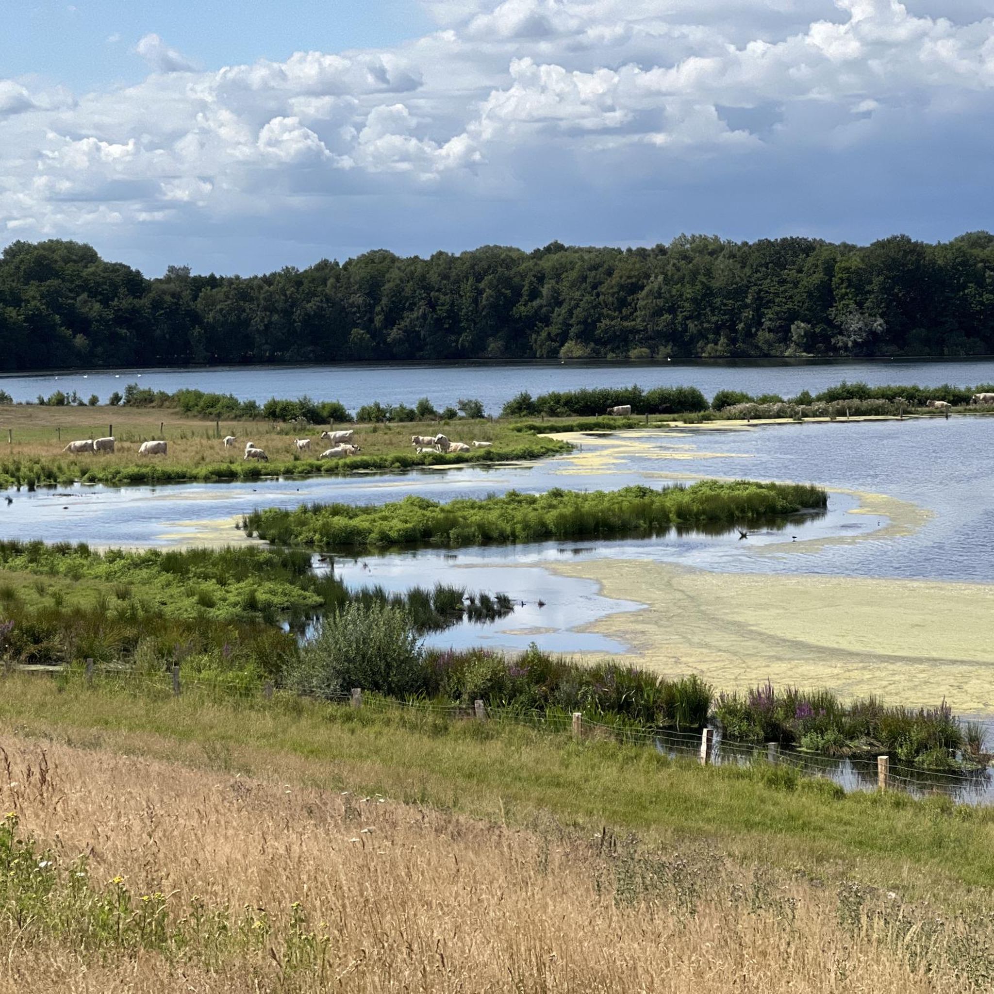
MTB Trails in Hochwasserrückhaltebecken Alfhausen-Rieste
Road Cycling Routes in Hochwasserrückhaltebecken Alfhausen-Rieste

Gravel biking in Hochwasserrückhaltebecken Alfhausen-Rieste
Other adventures in Hochwasserrückhaltebecken Alfhausen-Rieste

Tips from the Community

It's a nice, quiet place to walk around, especially in the morning.
0
0

A popular refuge for waterfowl of all kinds. Since the area is also quite wooded, it's not possible to see deep into the reserve basin from every corner. Depending on the wildlife activity, the path along the dike can be quite lengthy.
0
0

very well located, directly on the lake
0
0

Beautiful landscape around the small lake.
1
0

The Alfsee is located in the northern Bramgau region of the Osnabrück region. It lies approximately 25 km north of Osnabrück and 8 km north of Bramsche, southeast of the Ankumer Höhe. Approximately 95 percent of its area belongs to the western municipality of Alfhausen, after which the reservoir is named. The remainder, a bay in the eastern part of the lake, belongs to the eastern municipality of Rieste.
0
0
The Alfsee is a 2.2 km² reservoir in the northern part of the Osnabrück district in Lower Saxony (Germany). The Alfsee is the main reservoir of the Alfhausen-Rieste flood retention basin, which ensures flood protection in the Hase lowlands and serves as a local recreation area. It is operated by the Lower Saxony State Office for Water Management, Coastal Protection and Nature Conservation. The entire Alfhausen-Rieste flood retention basin is designated a nature reserve.
0
0
A small shelter or birdwatching hut offers a good sheltered spot for a break. There are information boards, and the view extends over the water.
0
0

This is the right place for bird watching
1
0
Frequently Asked Questions
How many running routes are available in Hochwasserrückhaltebecken Alfhausen-Rieste?
There are over 340 running routes recorded in Hochwasserrückhaltebecken Alfhausen-Rieste on komoot, offering a wide variety of options for all fitness levels. Approximately 43 of these are considered easy, 257 moderate, and 40 difficult.
What kind of landscapes can I expect to see while jogging in this region?
The Hochwasserrückhaltebecken Alfhausen-Rieste is a designated nature reserve, offering a richly structured lowland landscape. You'll find diverse natural features including the main Alfsee basin, a settling basin, and a dry reserve basin. Many routes follow dikes, providing beautiful views over the water, greenlands, and small forests. The area is also known for its tranquil environment and minimal traffic noise.
Are there any easy or beginner-friendly running trails around Alfsee?
Yes, there are numerous easy routes suitable for beginners. For example, the Viewpoint Reserve Basin Alfsee loop from Rieste is an easy 4.4 km (2.7 miles) trail that takes about 30 minutes to complete, leading through greenlands and small woods.
Are there any circular jogging routes in Hochwasserrückhaltebecken Alfhausen-Rieste?
Many of the running routes in the area are circular, allowing you to start and finish at the same point. A popular moderate option is the Alfsee Overflow Weir – Alfsee South Dam loop from Rüsskamps Pött, which is 10.7 km (6.6 miles) long and offers scenic views.
What are some scenic viewpoints or attractions along the running paths?
The dikes surrounding the Alfsee offer beautiful panoramic views over the water, especially during sunset. You can also visit the Alfsee Overflow Weir for great views and the sound of rushing water. The area is also excellent for birdwatching, with opportunities to spot various water birds and even sea eagles.
Is the Hochwasserrückhaltebecken Alfhausen-Rieste suitable for family jogging or running with children?
The generally easy and well-maintained paths make the area suitable for families. Many routes are relatively flat and offer a peaceful environment, perfect for a leisurely run or walk with children. Consider shorter, easy loops like the Viewpoint Reserve Basin Alfsee loop from Alfhausen, which is 5.3 km (3.3 miles).
What do other runners say about the trails in Hochwasserrückhaltebecken Alfhausen-Rieste?
The running routes in Hochwasserrückhaltebecken Alfhausen-Rieste are highly rated by the komoot community, with an average score of 4.5 stars from over 200 reviews. Runners often praise the serene waterscapes, the quiet atmosphere with minimal traffic noise, and the well-maintained paths that offer diverse natural habitats.
Are there options for longer runs or more challenging routes?
Yes, for those seeking a longer or more challenging run, routes like the Alfsee South Dam – Alfsee Overflow Weir loop from Rieste provide a moderate 12.8 km (7.9 miles) path. This route traverses dikes, offering extended stretches with scenic water views and varied terrain.
What is the best time of year to go jogging in this region?
The Hochwasserrückhaltebecken Alfhausen-Rieste is enjoyable for jogging year-round. Spring and autumn offer pleasant temperatures and beautiful natural colors, while summer provides longer daylight hours. Even in winter, the paths along the dikes can be suitable, offering a unique, tranquil experience, especially for birdwatching.
Are there any facilities like cafes or restaurants near the jogging routes?
The Alfsee area is a recreational hub, so you can find various facilities. While specific cafes directly on the jogging routes are not listed, the broader Alfsee complex offers amenities including camping, a kart track, and other recreational infrastructure, suggesting options for refreshments nearby.
Where can I find parking for the running trails?
While specific parking locations are not detailed for every route, the presence of popular starting points like 'Rüsskamps Pött' and 'Rieste' for various loops suggests that parking facilities are available in these areas to accommodate visitors accessing the trails around the Alfsee and its basins.
Can I reach the Hochwasserrückhaltebecken Alfhausen-Rieste jogging routes by public transport?
The region is primarily known for its natural setting and recreational activities. While specific public transport links directly to trailheads are not detailed, it is advisable to check local bus schedules or regional transport options to Alfhausen or Rieste, the nearest towns, and plan your route from there.
Most popular routes in Hochwasserrückhaltebecken Alfhausen-Rieste
Most popular attractions in Hochwasserrückhaltebecken Alfhausen-Rieste

Get inspired with the komoot mobile app


Explore more
Browse the best Running Trails & Routes in other regions.
