The best gravel rides in Löptener Fenne-Wustrickwiesen
4.3
(6)
30
riders
2
rides
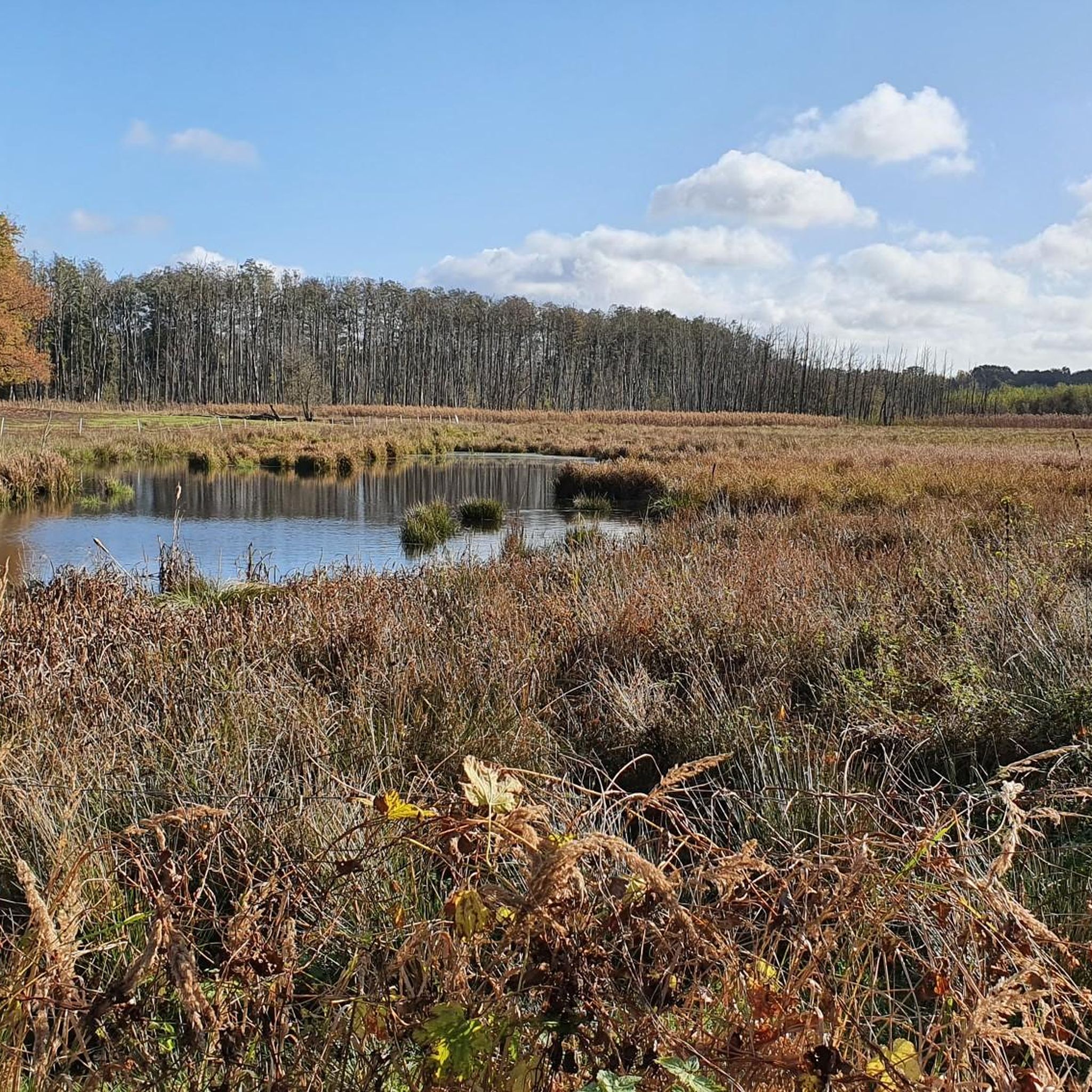
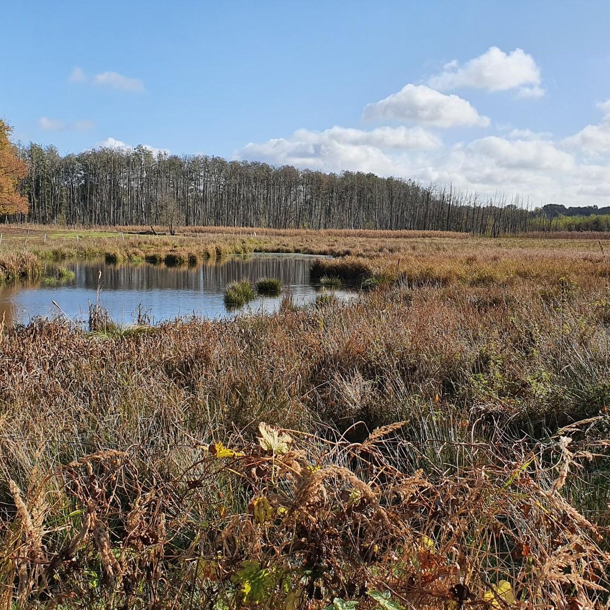
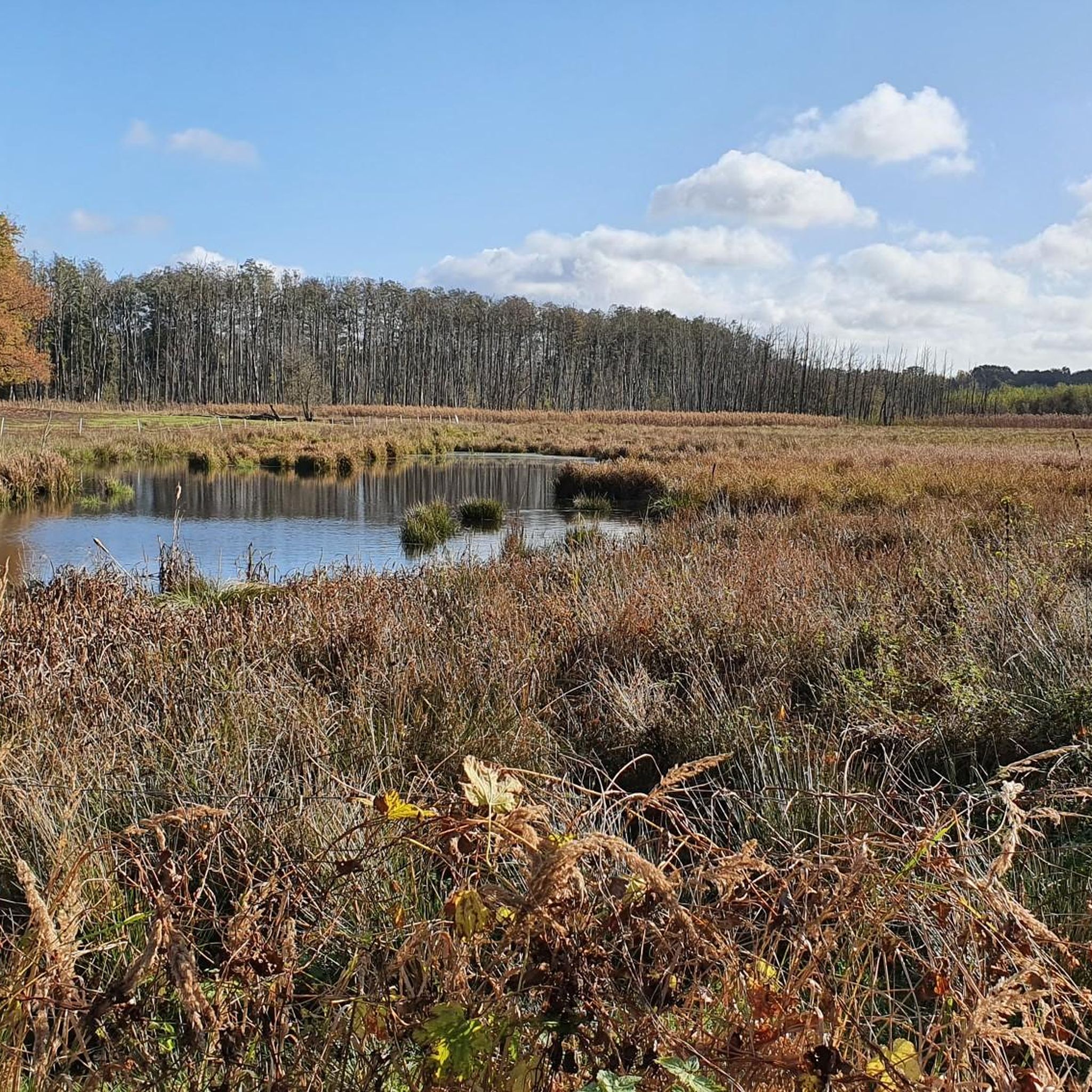
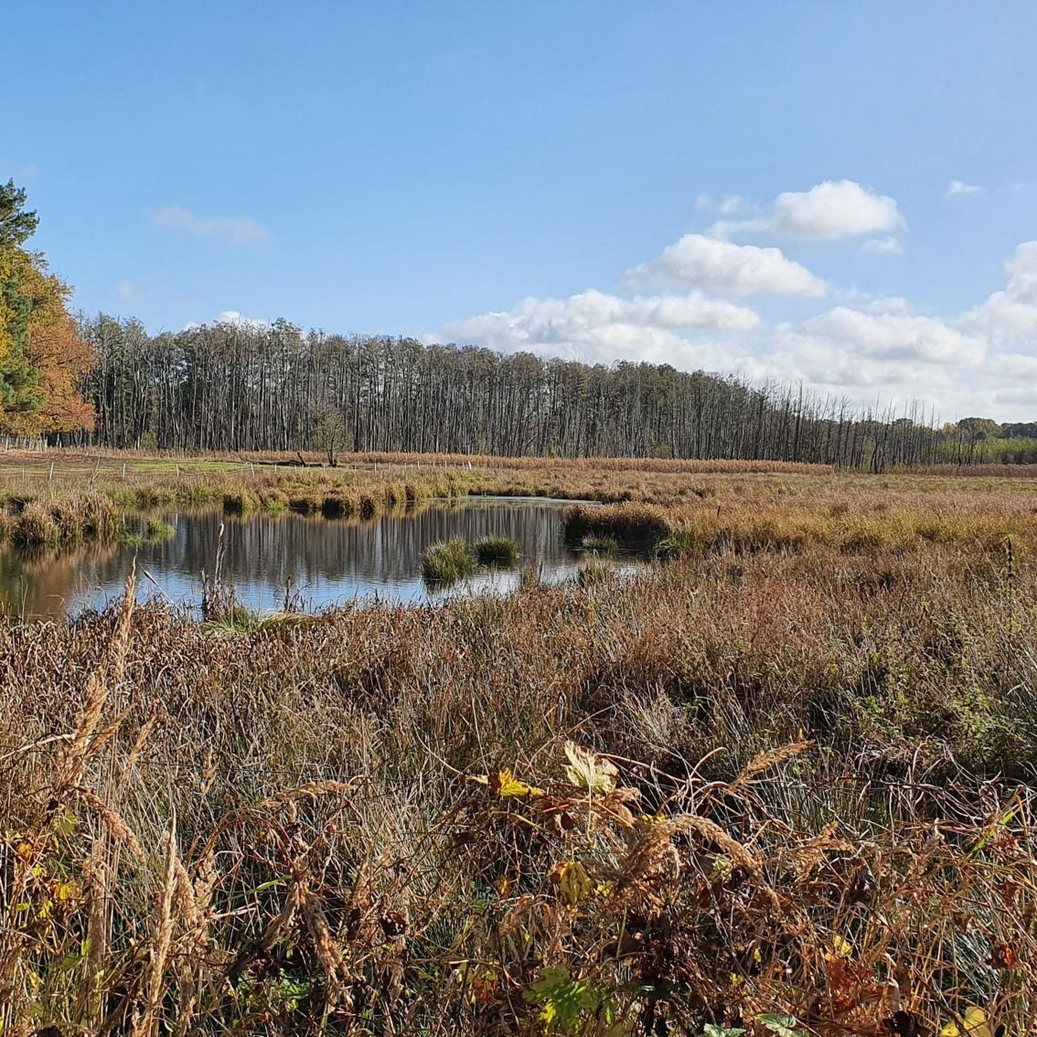
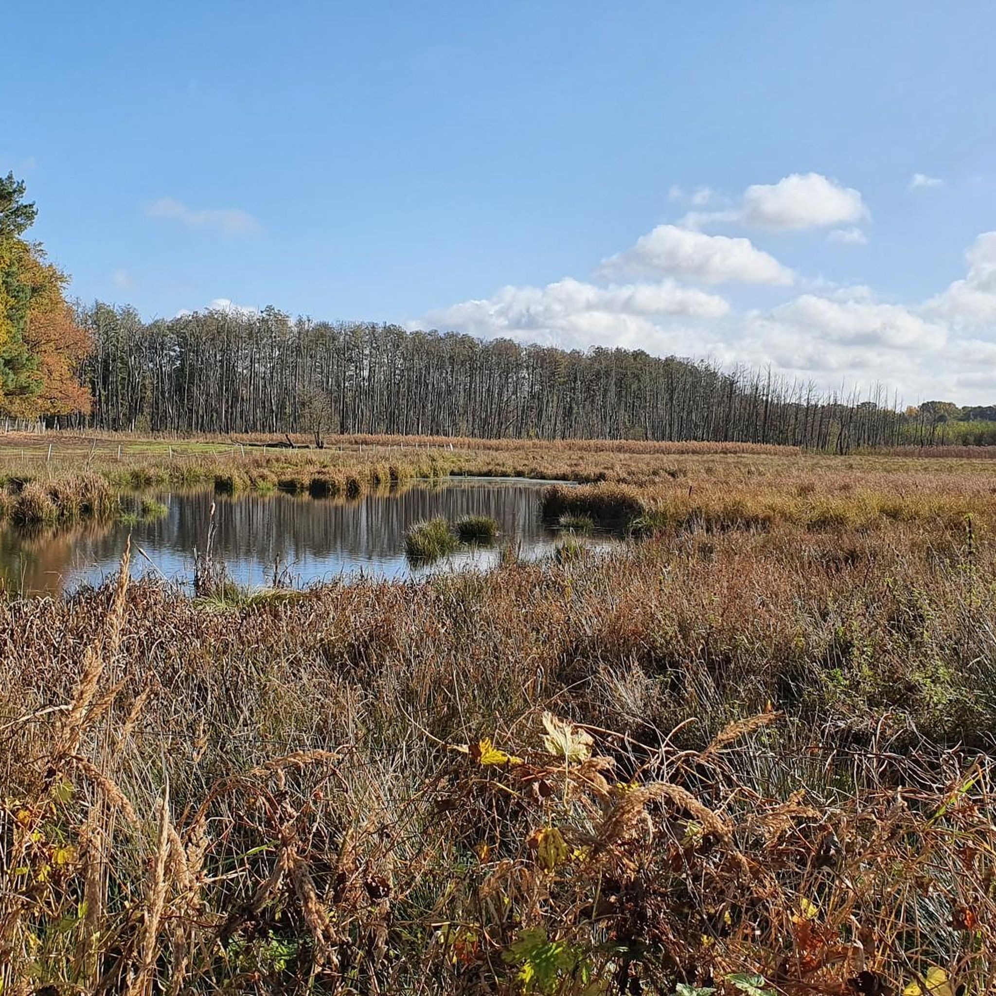
Gravel biking in Löptener Fenne-Wustrickwiesen offers routes through a landscape characterized by rivers, lakes, and gentle hills. This region, part of the Dahme-Heideseen Nature Park, features waterways like the Dahme River and areas such as Pätzsee. The terrain includes a low moor area with relict lakes, extensive reed beds, and swamp forests, alongside wet meadows and dry grasslands. Elevation gains are generally modest, providing varied surfaces suitable for gravel biking.
Best gravel bike trails in Löptener Fenne-Wustrickwiesen
- The most popular…
Last updated: July 3, 2026
4.0
(2)
12
riders
71.3km
03:52
200m
200m
Moderate gravel ride. Good fitness required. Mostly paved surfaces. Suitable for all skill levels.
2.0
(1)
3
riders
16.7km
01:00
50m
50m
Easy gravel ride. Great for any fitness level. Mostly paved surfaces. Suitable for all skill levels.

Sign up for free
4.5
(2)
13
riders
16.2km
01:05
30m
30m
Hard gravel ride. Great for any fitness level. You may need to push your bike for some segments of this route.
4.3
(3)
5
riders
28.5km
01:42
70m
70m
Hard gravel ride. Great for any fitness level. You may need to push your bike for some segments of this route.
Our route recommendations are based on thousands of hikes, rides, and runs completed by other people on komoot.
Start today with a free account
Your next adventure awaits.
Login or Signup
Tips from the Community

Small tip: watch out for drivers, they sometimes come along quite quickly. So it's better to drive on the right and not in the middle, too many curves
0
0

Top ice cream parlor with offer prepared with great love.
1
0

This simple yet charming pedestrian bridge marks one of the most beautiful crossings of the Spree south of Neuendorf am See – a place that doesn't impose itself loudly, but quietly seduces. Ideal for hikers seeking the water and for paddlers who trust the river's flow. For hikers: The bridge is a hub on regional walking and hiking trails – those coming from the center of Neuendorf will encounter an almost meditative scenery: reflective water, wide meadows, gently rustling willows. Particularly rewarding at sunrise or in the evening hours, when the sky and landscape merge into one. For canoeists: From a kayak, the bridge appears almost sculptural. It spans the Spree with a gentle sweep, signaling: Here the river flows gently, but not without depth. A good opportunity for a rest, as there are shallow spots along the bank for landing. If you like, you can dock briefly and climb the few steps up to the bridge – the view is worth it.
0
0

The Dahme cycle path near Märkisch Buchholz takes you across the river of the same name. You have a beautiful view of the Dahme and its natural banks.
1
0

There is also free WiFi here
0
0

Well, this is a rest stop, you don't want to drive any further. There is a public toilet here (50 cents). Unfortunately, the snack bar next door was closed.
1
0

Beautiful section in a quiet forest
0
0

Here you can roll perfectly.
0
0
Frequently Asked Questions
What types of gravel bike trails can I expect in Löptener Fenne-Wustrickwiesen?
The Löptener Fenne-Wustrickwiesen region offers a variety of gravel bike trails that wind through landscapes characterized by rivers, lakes, and gentle hills. You'll find routes along waterways like the Dahme River and Spree, and around areas such as Pätzsee, with modest elevation gains.
Are there easy gravel bike trails suitable for beginners in Löptener Fenne-Wustrickwiesen?
Yes, there is at least one easy gravel bike trail. For a more relaxed ride, consider the Hofjagdweg – Pätzsee loop from Ausbau, which is 16.7 km long and takes about 1 hour 10 minutes to complete.
What are the difficulty levels of gravel bike trails in this region?
The gravel bike trails in Löptener Fenne-Wustrickwiesen cater to various skill levels. You'll find routes rated as easy, moderate, and difficult. For example, the Wehlaberg Observation Tower – Wehlaberg Observation Tower loop from Halbe is a moderate option, while routes like the Märkisch Buchholz overflow weir – View of the Dahme River loop from Groß Köris are considered difficult.
Are there any circular gravel bike routes in Löptener Fenne-Wustrickwiesen?
Yes, many of the gravel bike routes in the region are designed as loops. Examples include the View of the Dahme River – Bridge over the Spree loop from Halbe, which offers extensive sections along the Dahme River, and the Pätzsee – Lake Pätzer loop from Bestensee.
What can I see along the gravel bike trails in Löptener Fenne-Wustrickwiesen?
Along the gravel bike trails, you can explore various points of interest. Notable attractions include the Groß Köris Drawbridge and the Groß Köris Canal and Historic Village Center. These offer glimpses into the local landscape and history.
What do other gravel bikers enjoy most about gravel biking in Löptener Fenne-Wustrickwiesen?
The area is highly rated by the komoot community, with an average score of 4.6 stars. Reviewers often praise the diverse terrain, the scenic routes along rivers and lakes, and the options available for different ability levels.
Are there any viewpoints or observation towers along the gravel routes?
Yes, one notable route, the Wehlaberg Observation Tower – Wehlaberg Observation Tower loop from Halbe, specifically features the Wehlaberg Observation Tower, offering views over the surrounding natural environment.
What is the longest gravel bike trail available in the region?
The longest gravel bike trail listed is the View of the Dahme River – Bridge over the Spree loop from Halbe, covering 70.1 km and typically taking around 4 hours 49 minutes to complete.
Are there any facilities or rest areas along the gravel bike routes?
Yes, you can find facilities such as the Löptener Dreieck Rest Area, which can be a convenient stop during your ride.
How many gravel bike trails are available in Löptener Fenne-Wustrickwiesen?
There are several gravel bike trails available in the Löptener Fenne-Wustrickwiesen region, offering a range of distances and difficulty levels to explore.
What kind of terrain can I expect on the gravel bike trails?
The terrain is varied, featuring a mix of surfaces suitable for gravel biking. You'll encounter paths along rivers and lakes, and through areas with gentle hills, providing a dynamic riding experience.
Most popular routes in Löptener Fenne-Wustrickwiesen
Most popular attractions in Löptener Fenne-Wustrickwiesen

Get inspired with the komoot mobile app


Explore more
Browse the best Gravel rides in other regions.
