The best gravel rides in Naturpark Oberer Bayerischer Wald
4.4
(122)
569
riders
78
rides
Gravel biking in Naturpark Oberer Bayerischer Wald offers a diverse landscape characterized by expansive forests, mid-mountain elevations, and picturesque river valleys. The region's geology, part of the Bohemian Massif, has created unique rock formations and varied terrain suitable for gravel bikes. An extensive network of cycling paths, including unpaved forest roads and riverside trails, provides options for various skill levels. This natural park features both challenging ascents to peaks over 1,000 meters and gentler routes through its valleys.
Best gravel…
Last updated: July 12, 2026
4.3
(12)
63
riders
Moderate gravel ride. Good fitness required. Mostly paved surfaces. Suitable for all skill levels.
5.0
(1)
21
riders
59.9km
04:15
1,390m
1,390m
Hard gravel ride. Very good fitness required. Mostly paved surfaces. Suitable for all skill levels.

Sign up for free
4.5
(13)
42
riders
53.3km
02:54
360m
360m
Moderate gravel ride. Good fitness required. Mostly paved surfaces. Suitable for all skill levels.
4.5
(4)
30
riders
34.2km
02:00
300m
300m
Moderate gravel ride. Good fitness required. Mostly paved surfaces. Suitable for all skill levels.
7
riders
57.1km
04:06
1,300m
1,300m
Hard gravel ride. Very good fitness required. Mostly paved surfaces. Suitable for all skill levels.
Get access to more routes and recommendations from other explorers.
Sign up for free
Already have an account?
Our route recommendations are based on thousands of hikes, rides, and runs completed by other people on komoot.
Start today with a free account
Your next adventure awaits.
Login or Signup
Popular around Naturpark Oberer Bayerischer Wald
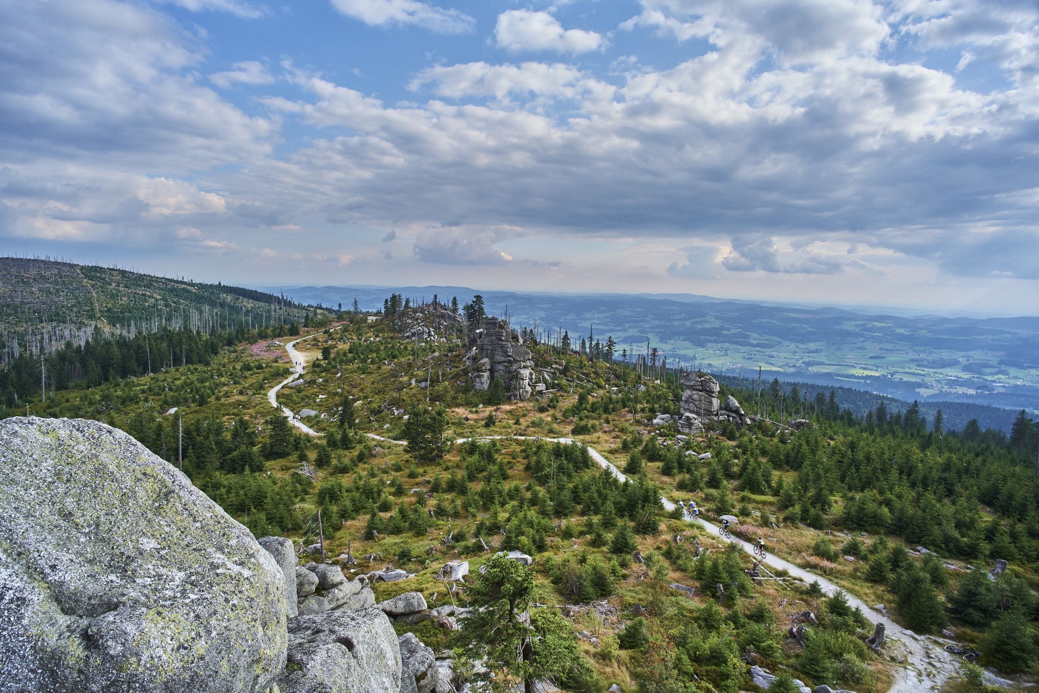
Trans Bayerwald – A mountain bike adventure through Bavaria's finest nature

The Goldsteig – 38 stages between Upper Palatinate and Passau

Goldsteig — The best routes for long distance hiking in Eastern Bavaria
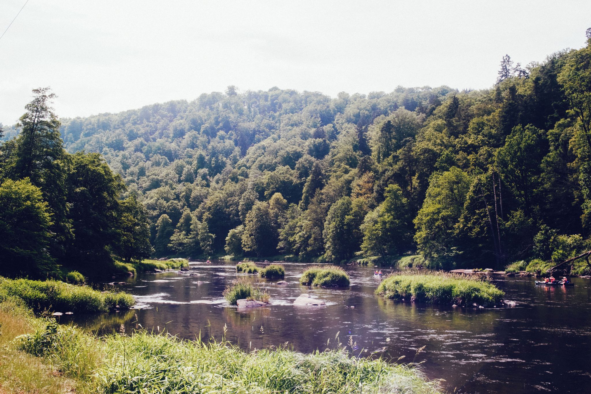
The Rain valley cycle path — 4 days through the Bavarian Forest
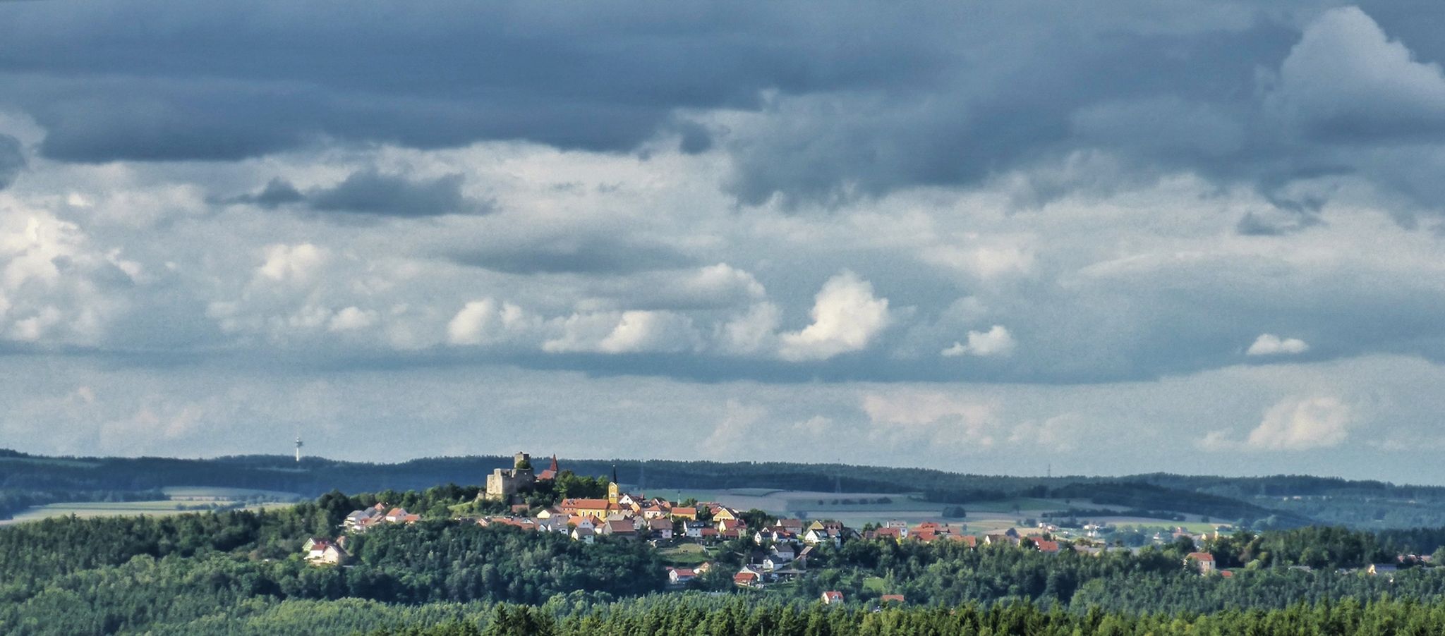
The Upper Palatinate Castle Trail — 9 days in picturesque northern Bavaria

The National Natural Landscapes in Bavaria
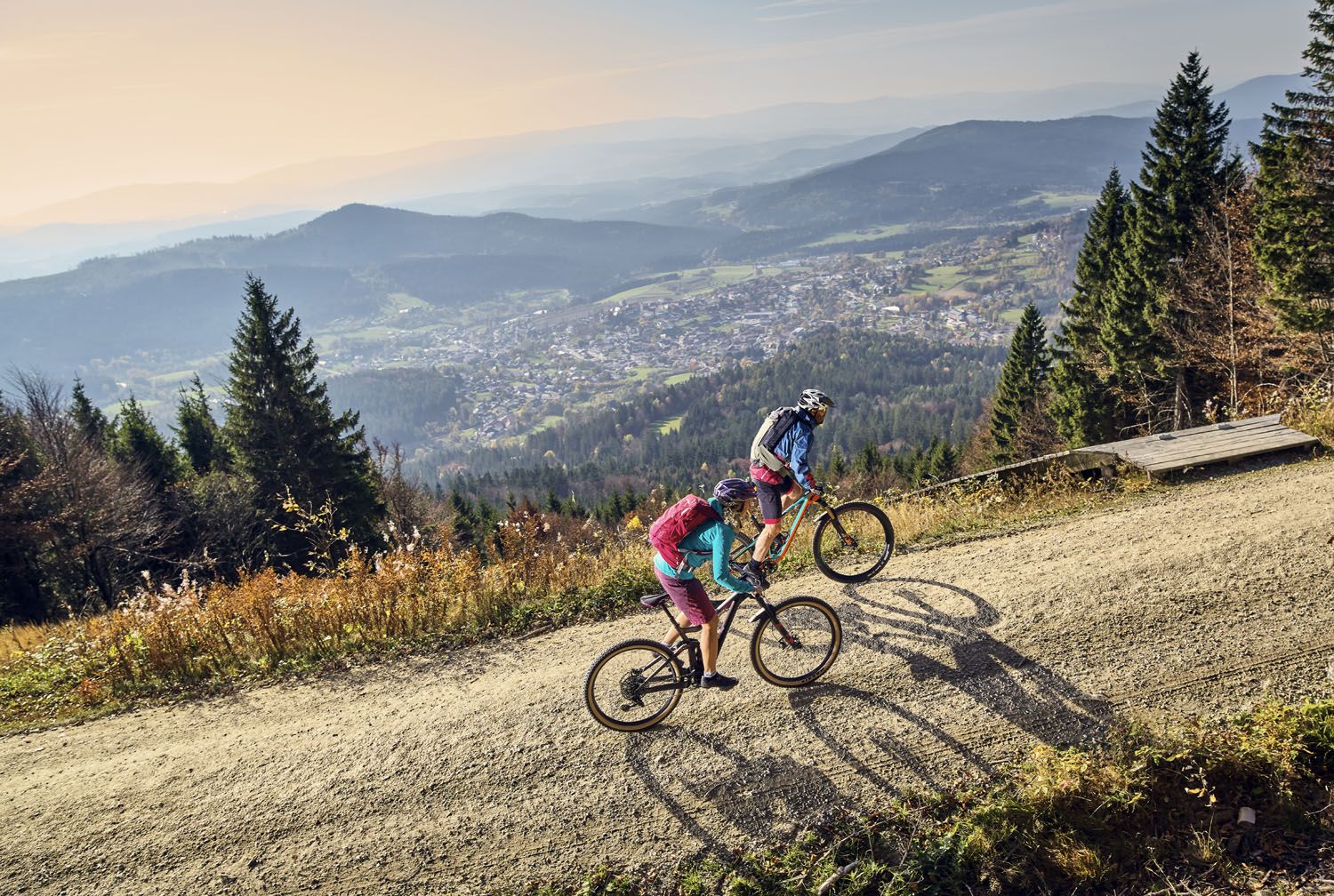
Exciting cycle and (e)-mountain bike Tours in the Bavarian Forest
On the 'Kultouren' through the Upper Palatine Forest
Hiking tips for the Bavarian Forest
Six wonderful hikes around Bavaria’s Großer Arber
Other adventures in Naturpark Oberer Bayerischer Wald


Tips from the Community

perfect for watching at the water ski facility
0
0
the wooden ball is visible from some places
0
0

Lake Steinberger Lake Steinberger is part of the Upper Palatinate Lake District and, with an area of 1.84 km², is the largest lake in the Upper Palatinate. It was named after the municipality of Steinberg am See. It is 1.98 km long, 1.4 km wide, and has a maximum depth of 50 meters. The Schreckerbach stream feeds and drains the lake. After the Bavarian lignite industry ceased mining operations in the mid-1980s, the open-cast mine "Steinberger See" was flooded by reducing the water level. Remaining mining equipment was demolished and still lies on the lakebed. Two small, wooded islands also remain, which now divide the lake into a northern and a southern section. In the following decades, tourism developed at Lake Steinberger, bringing a degree of economic growth to the region. In addition to the Steinberger Yacht Club (SYC), founded in 1987, the area now boasts a sailing school, a water ski lift, a boat rental, a leisure park for families and children, a surf club, and most recently, an adventure golf course and a roughly 40-meter-high wooden "adventure sphere" with viewing platforms, an obstacle course, and a giant slide. Numerous restaurants, inns, and cafés complement the leisure offerings. A water rescue station has been established for the safety of visitors. Due to the increasing improvement in water quality and visibility in recent years, Lake Steinberger has become one of the most popular diving areas in the Upper Palatinate. Like all lakes in the Upper Palatinate Lake District, which originated from lignite mines, the water is acidic due to leaching. Because of the ongoing improvement in water quality, fish populations are steadily increasing. Perch and the occasional pike have been observed most frequently. The water is very clean; on windless days, visibility is possible to a depth of at least 10 meters. Occasionally, the tops of dead trees can be seen on the bottom. According to the ordinance issued by the Schwandorf District Office on August 8, 2002, the entire Steinberger See is open for diving. Especially in summer and winter, very good visibility (up to 20 meters) has been possible in recent years. Source: Excerpts from www.wikipedia.de
4
0

The Mariental inn is only open on weekends. The next place to stop for refreshments would be in Ramspau G.H., near the church.
1
0

Quiet place with several running routes passing by.
3
0

Frequently Asked Questions
How many gravel bike trails are available in Naturpark Oberer Bayerischer Wald?
Naturpark Oberer Bayerischer Wald offers over 130 gravel bike trails. These routes cater to various skill levels, with a good mix of moderate and challenging options. You'll find 4 easy routes, 61 moderate routes, and 71 difficult routes to explore.
What kind of terrain can I expect on the gravel bike trails?
The terrain in Naturpark Oberer Bayerischer Wald is diverse, ranging from expansive forests and mid-mountain elevations to picturesque river valleys. You'll encounter unpaved forest roads, paths along rivers, and ascents to peaks over 1,000 meters. The region's geology, part of the Bohemian Massif, also means unique rock formations and varied surfaces suitable for gravel bikes.
Are there any family-friendly gravel biking routes in the Naturpark?
Yes, there are several routes suitable for families, particularly those along the river valleys which tend to be gentler. For example, the area around Lake Blaibach offers pleasant rides. A moderate option like Lake Blaibach – Lake Blaibach loop from Grafenwiesen is a good choice, covering 34.1 km with manageable elevation.
Can I bring my dog on the gravel bike trails?
While many trails in Naturpark Oberer Bayerischer Wald are suitable for dogs, it's always best to check local regulations for specific routes or protected areas. Generally, dogs should be kept on a leash, especially in nature reserves or areas with wildlife, and ensure you carry water for them.
What are some notable landmarks or natural attractions I might see along the trails?
The Naturpark is rich in natural beauty. You might encounter unique rock formations like those found along the Höllbachtal Trail, or explore the serene Kleiner Arbersee with its 'floating islands'. Other attractions include historical sites like Burg Falkenstein and the intriguing Schrazelloch Cave.
Are there any circular gravel bike routes?
Yes, many gravel bike routes in Naturpark Oberer Bayerischer Wald are designed as loops, allowing you to start and end at the same point. An example is the Lake Murner – View of Lake Murner loop from Bodenwöhr Nord, which offers scenic views around Lake Murner over 53.3 km.
When is the best time of year for gravel biking in Naturpark Oberer Bayerischer Wald?
The ideal months for gravel biking are typically from spring to autumn (April to October), when the weather is milder and trails are clear of snow. Summer offers lush green landscapes, while autumn provides stunning foliage. Some higher elevation trails might be challenging or closed in winter due to snow.
What do other gravel bikers enjoy most about the trails in Naturpark Oberer Bayerischer Wald?
The komoot community highly rates the gravel biking experience here, with an average score of 4.4 stars from over 160 reviews. Riders often praise the diverse landscapes, the extensive network of trails, and the combination of challenging ascents and tranquil river valley rides. The opportunity to explore an 'unspoiled piece of earth' with deep forests is frequently highlighted.
Are there options for longer, multi-day gravel biking tours?
Yes, the Naturpark is well-suited for longer gravel adventures. The extensive cycling network, including parts of the Bayernnetz für Radler and long-distance routes like the Trans Bayerwald, allows for multi-day tours. You can plan challenging routes that incorporate ascents to peaks or follow river systems for extended periods.
How accessible are the gravel trails by public transport, and are there parking options?
Access to trailheads by public transport varies across the region. Some larger towns within or near the Naturpark, such as Lam or Bodenwöhr, may offer better public transport connections. For parking, many trailheads and popular starting points, especially near lakes or villages, provide designated parking areas. It's advisable to check specific route details for parking information.
Are there any challenging gravel routes with significant elevation gain?
Absolutely. The Naturpark features several peaks over 1,000 meters, providing demanding climbs. For instance, the Černé Jezero (Black Lake) – View of Großer Arber loop from Lam is a difficult 59.8 km trail with over 1,300 meters of elevation gain, offering views of Großer Arber, the highest mountain in the Bavarian Forest.
Where can I find food or accommodation along the gravel routes?
The Naturpark Oberer Bayerischer Wald has numerous villages and towns scattered throughout, offering various options for food and accommodation. You'll find traditional Bavarian guesthouses, restaurants, and cafes. Planning your route to pass through these settlements will ensure you have access to refreshments and places to stay overnight.
Most popular routes in Naturpark Oberer Bayerischer Wald
Most popular attractions in Naturpark Oberer Bayerischer Wald

Get inspired with the komoot mobile app


Explore more
Browse the best Gravel rides in other regions.
