The best walks and hikes in Naturpark Oberer Bayerischer Wald
4.5
(41654)
148,407
hikers
3,824
hikes
Hiking in Naturpark Oberer Bayerischer Wald features a diverse landscape characterized by numerous peaks exceeding 1,000 meters, extensive forest cover, and significant rivers like the Regen. The region includes varied terrain with low-lying moors, floodplains, and unique geological formations such as the Pfahl ridge. These features provide a wide array of environments for outdoor activities.
Best hiking trails in Naturpark Oberer Bayerischer Wald
- The most popular hiking route is Hohenbogen hike – Bavarian Forest, a 9.3 miles (14.9 km)…
Last updated: October 22, 2026
4.5
(218)
801
hikers
14.9km
04:48
640m
650m
Moderate hike. Good fitness required. Easily walkable paths.
4.2
(198)
564
hikers
11.7km
03:15
210m
210m
Moderate hike. Good fitness required. Easily walkable paths.

4.1
(188)
550
hikers
13.0km
03:37
230m
240m
Moderate hike. Good fitness required. Easily walkable paths.
4.5
(64)
202
hikers
5.23km
01:36
170m
180m
Easy hike. Easily walkable paths.
4.7
(459)
1,413
hikers
9.81km
02:46
200m
200m
Moderate hike. Good fitness required. Mostly walkable paths. Sure-footedness required.
Get access to more routes and recommendations from other explorers.
Already have an account?
Our route recommendations are based on thousands of hikes, rides, and runs completed by other people on komoot.
Start today with a free account
Your next adventure awaits.
Popular around Naturpark Oberer Bayerischer Wald
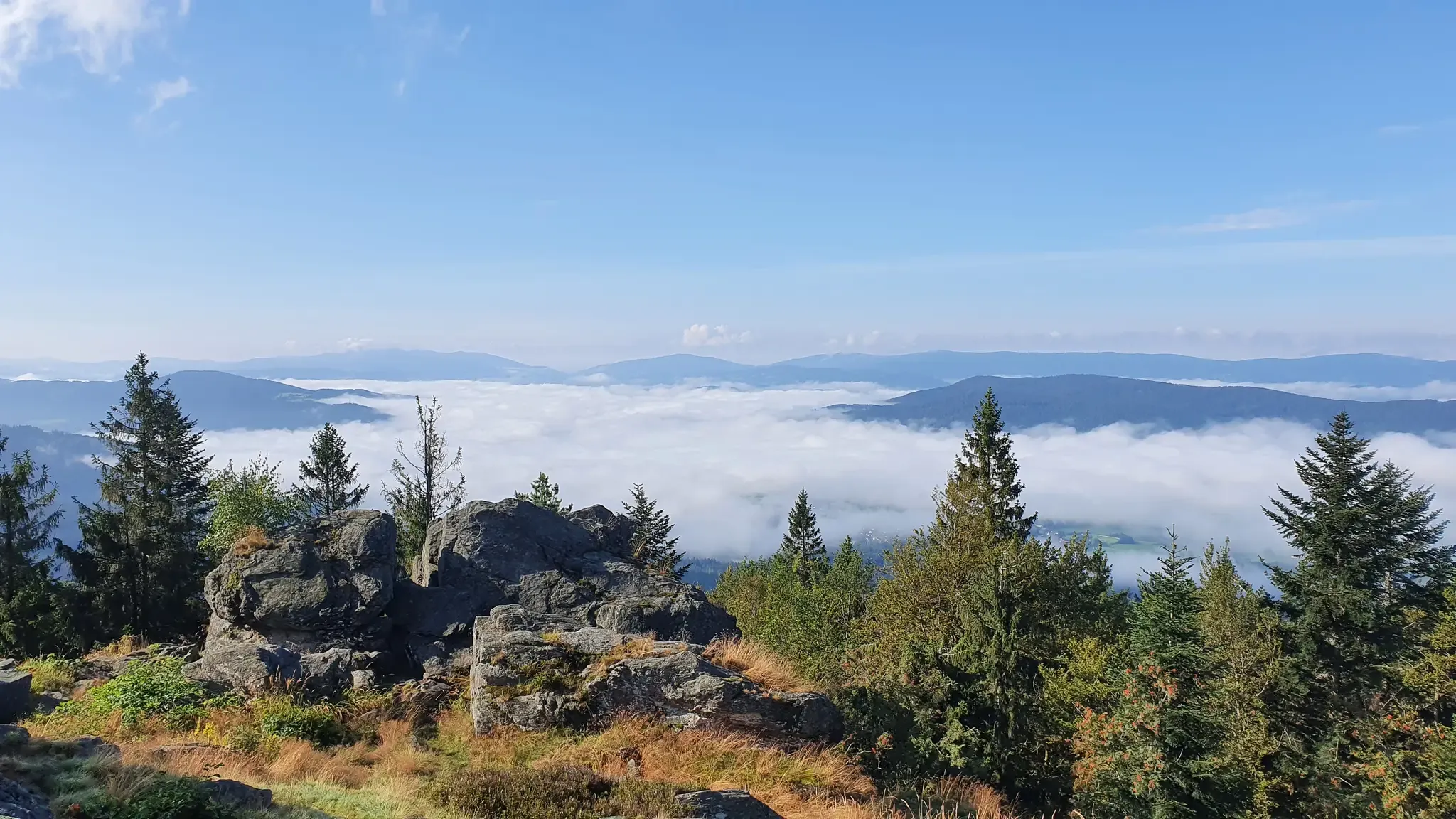
The Goldsteig – 38 stages between Upper Palatinate and Passau
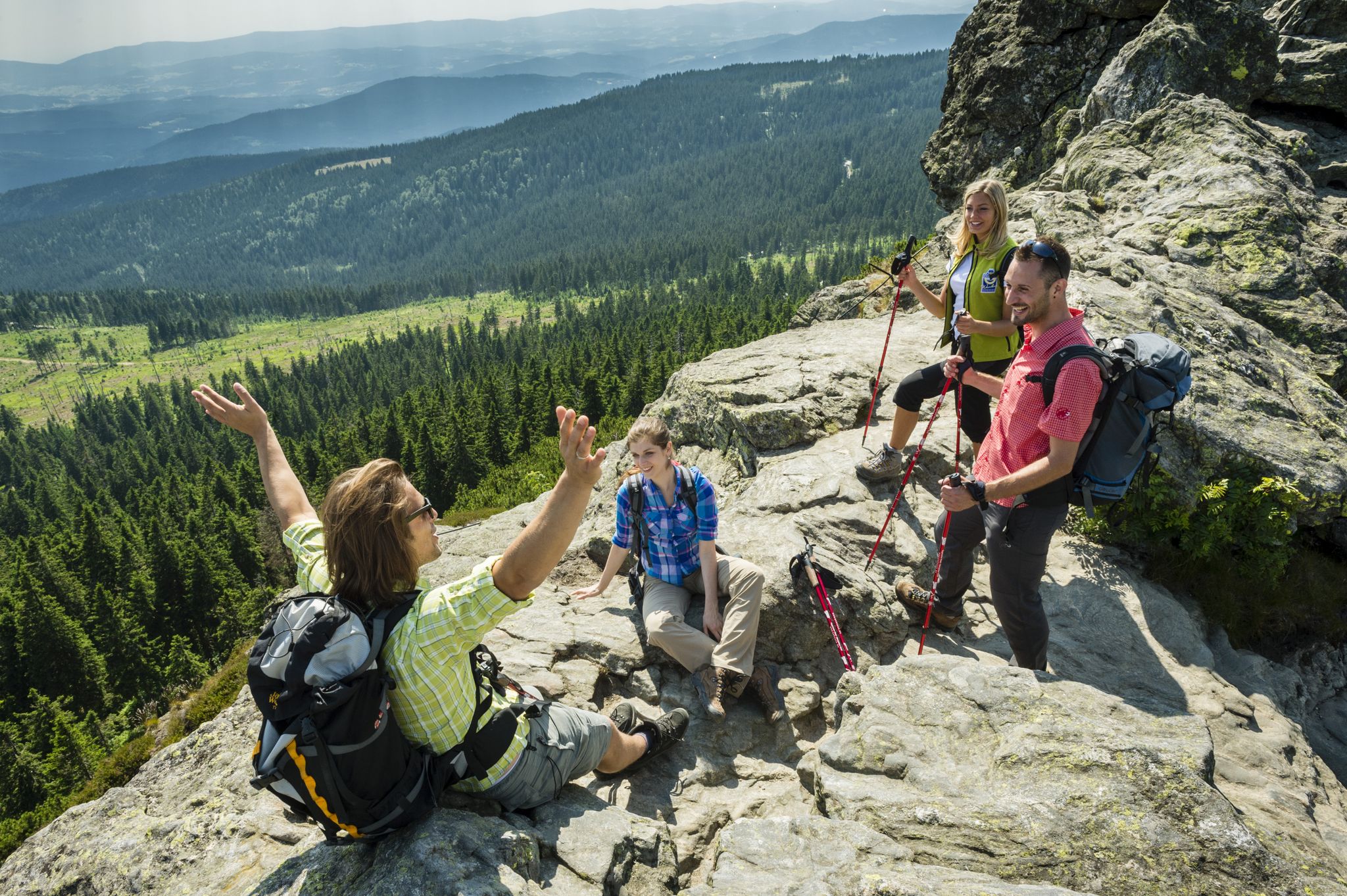
Goldsteig — The best routes for long distance hiking in Eastern Bavaria
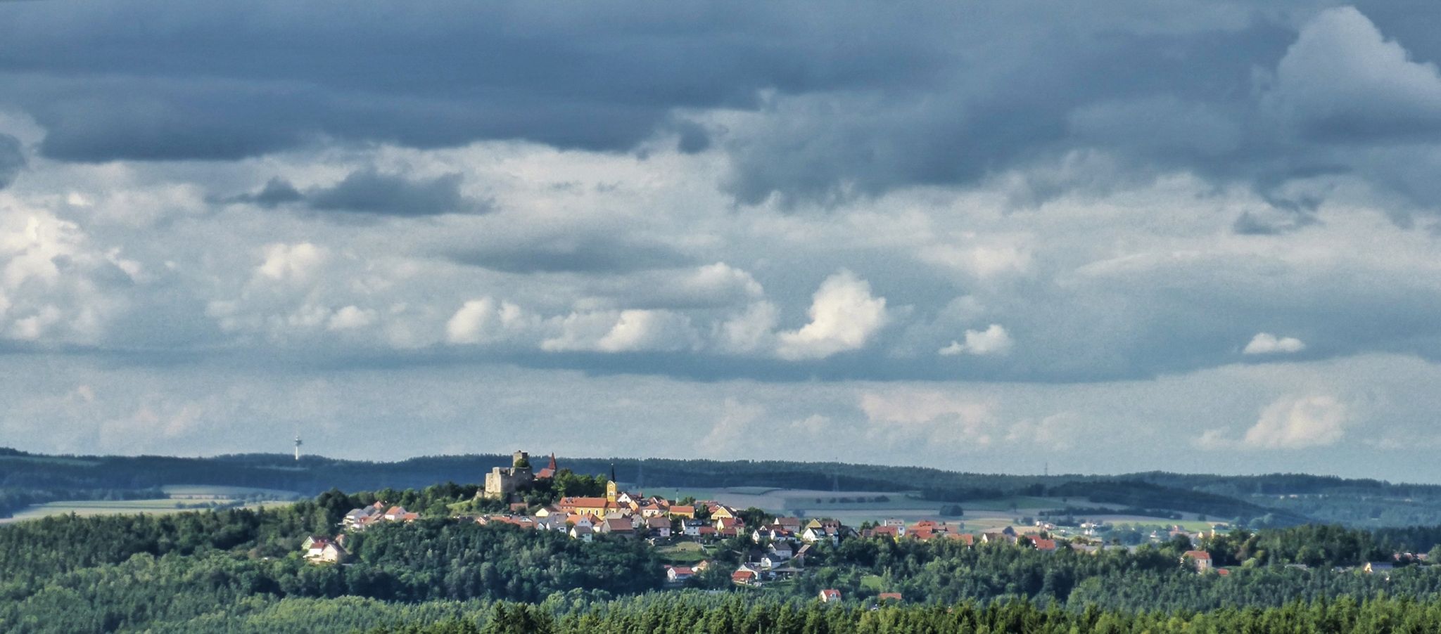
The Upper Palatinate Castle Trail — 9 days in picturesque northern Bavaria
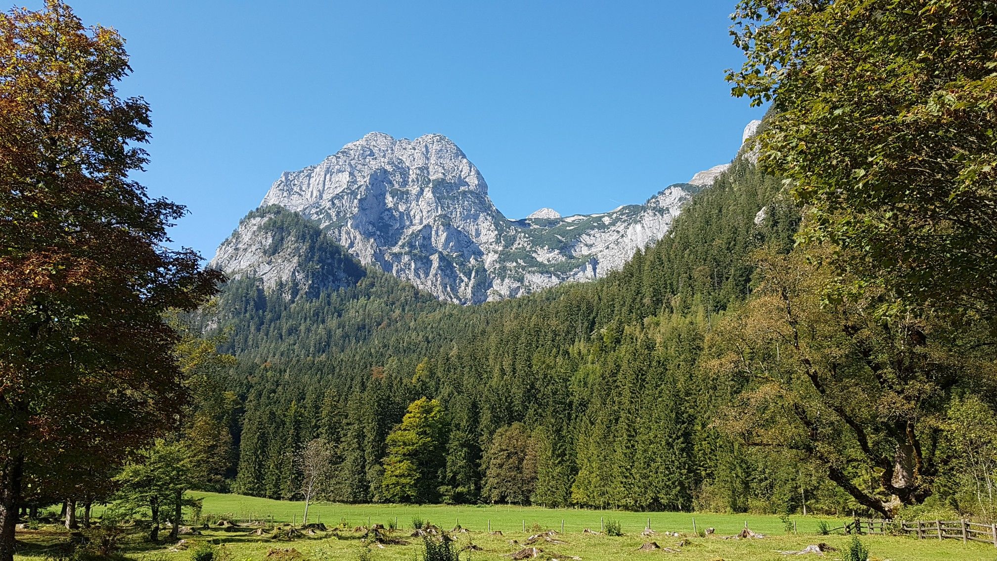
The National Natural Landscapes in Bavaria
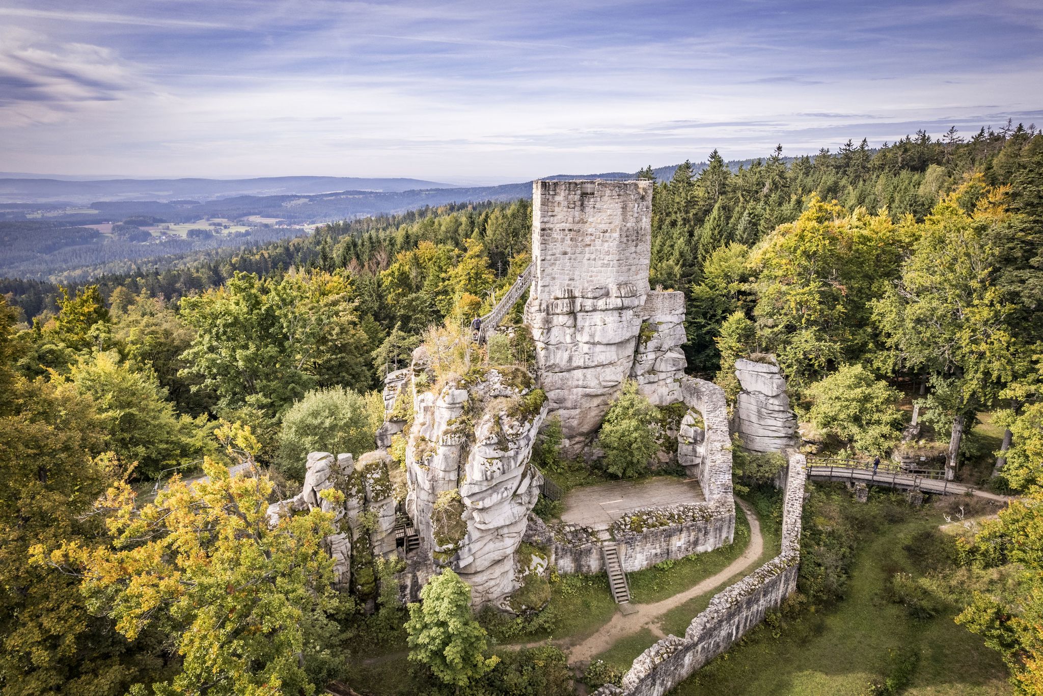
On the 'Kultouren' through the Upper Palatine Forest
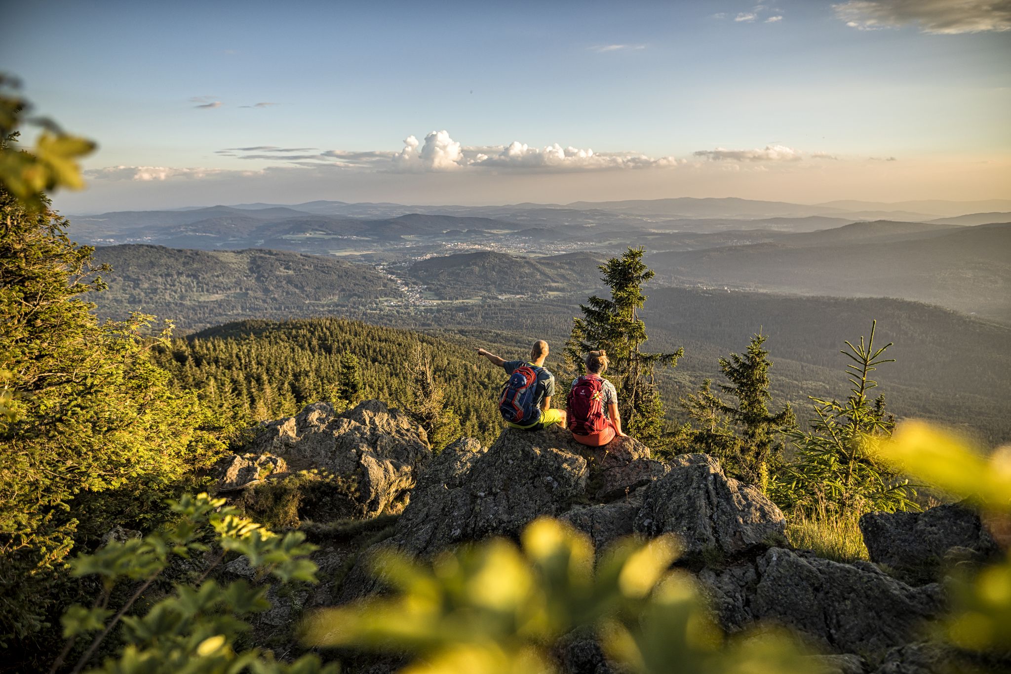
Hiking tips for the Bavarian Forest
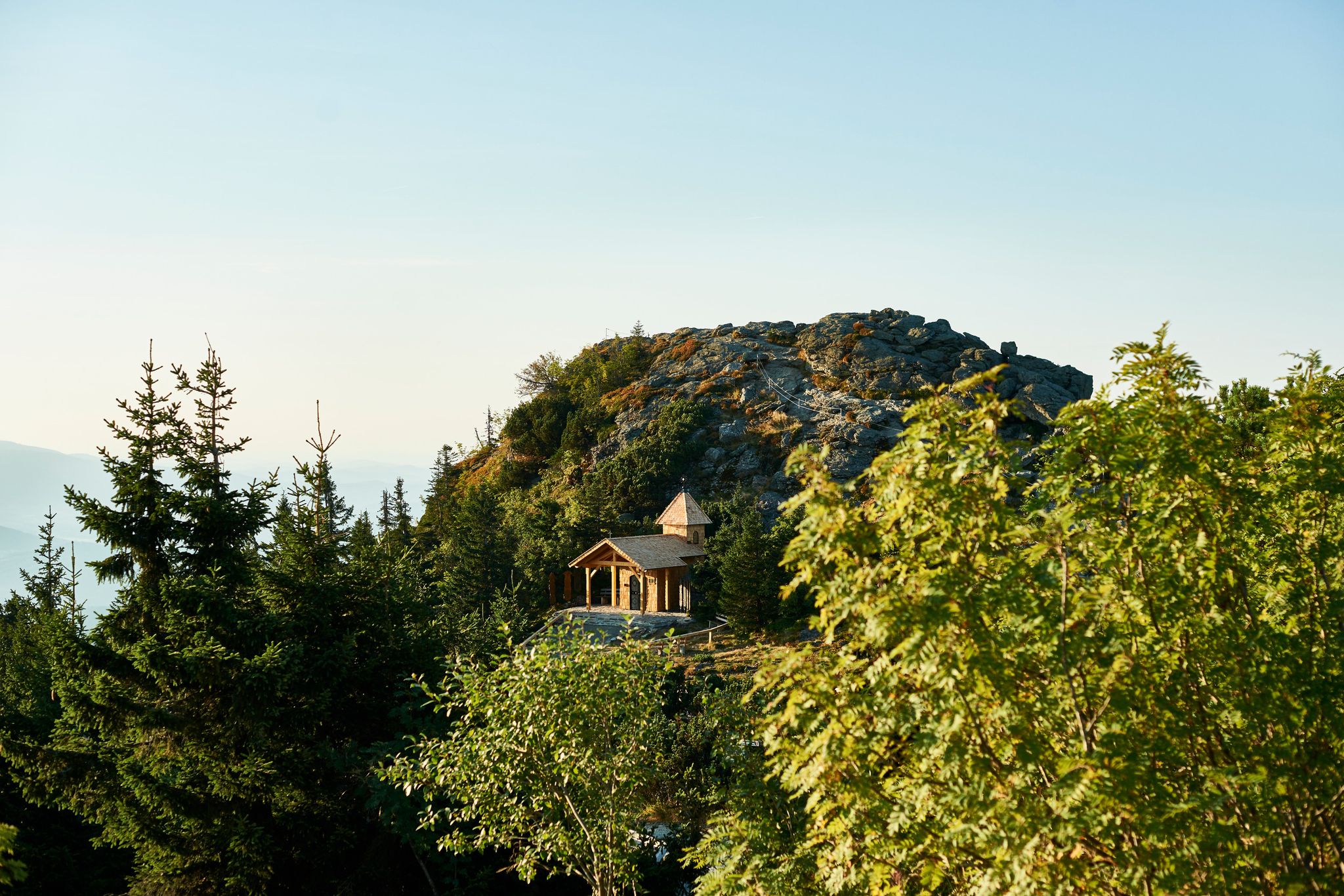
Six wonderful hikes around Bavaria’s Großer Arber
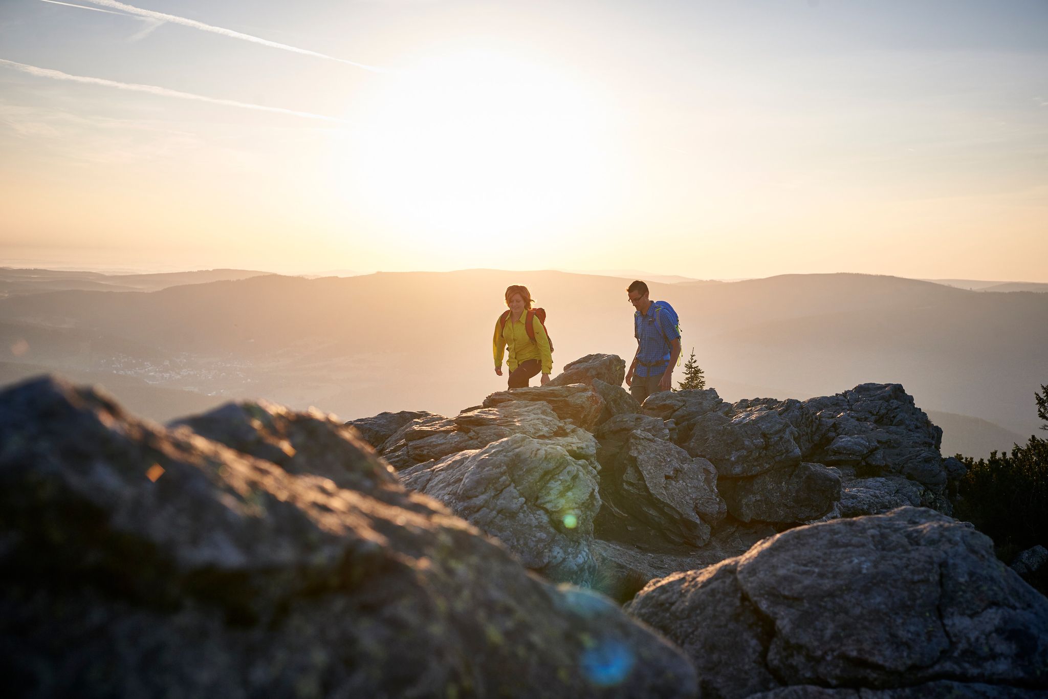
Varied day Tours on the Großer Arber
Hiking through history on Germany’s Pandurensteig
The best of the Goldsteig in Eastern Bavaria – 6 scenic hikes
Other adventures in Naturpark Oberer Bayerischer Wald


Tips from the Community

Is it real or tourist marketing?
0
0
Beautiful but demanding circular trail
0
0

A rustic wooden bridge, which slightly changes direction in the middle with a kink, leads here over the Höllbach stream. On days when the wooden planks are particularly slippery, the railing attached to one side provides a little more security.
10
0
Not only the granite block sea and the roaring stream of the Höllbach shape the nature reserve. Some open meadow areas also belong to it.
15
0
The Hölle nature reserve encompasses an approximately 600-meter-long section of the Höllbachtal valley in the Falkensteiner Vorwald with the surrounding forest areas. The block sea of bizarrely weathered granite blocks along the Höllbach, as this section of the Wiesent's upper course is called, is an approximately 7000 square meter sub-area of the nature reserve established in 1950. It is part of the European "Natura 2000" protected area network. In the shady, cool and moist climate even in summer, numerous animal and plant species worthy of protection have been preserved.
10
0
The Höllbach flows through a rocky valley in the Falkensteiner Vorwald, characterized by mighty gneiss and granite blocks piled on top of each other. During the last ice age, they weathered from the bedrock into a block sea. At this point, the rock appears in a particularly impressive form of "wollsack weathering" (sack weathering). The blocks are largely covered by mosses.
12
1
The Höllbach repeatedly roars over the granite blocks that nature has placed in its path.
15
0
Here begins the fantastic circular hiking trail through the "Hölle" nature reserve, which leads for long stretches along the Höllbach through the valley.
11
0
Frequently Asked Questions
How many hiking trails are available in Naturpark Oberer Bayerischer Wald?
Naturpark Oberer Bayerischer Wald offers an extensive network of over 3,800 hiking trails. This includes a wide variety of routes, from leisurely walks to challenging mountain ascents, ensuring options for every skill level.
Are there hiking trails for all skill levels in Naturpark Oberer Bayerischer Wald?
Yes, the region caters to all abilities. You'll find over 1,800 easy routes for relaxed strolls, more than 1,600 moderate trails for those seeking a bit more challenge, and over 300 difficult routes for experienced hikers looking for demanding ascents.
What kind of landscapes can I expect to see while hiking here?
The Naturpark Oberer Bayerischer Wald boasts incredibly varied landscapes. You'll encounter high peaks exceeding 1,000 meters, dense forests, expansive river valleys like the Schwarzach, Chamb, and Regen, and unique geological formations such as the 150-kilometer-long Pfahl ridge. There are also rare low-lying moors and species-rich floodplains, offering diverse scenery.
Are there any circular hiking routes in Naturpark Oberer Bayerischer Wald?
Yes, many routes are designed as circular walks, allowing you to start and end at the same point. For example, the challenging Großer Osser summit cross – Great Osser loop from Thürnstein offers a rewarding circular experience to one of the region's prominent peaks. Another option is the Kleiner Riedelstein Summit – Rauchröhren rock formation loop from Eck.
What are some notable natural attractions or landmarks to see on a hike?
The park is rich in natural monuments and landmarks. You can hike to impressive peaks like the Great Osser or the Kleiner Arber Summit, which offer panoramic views. The region also features unique rock formations, such as the bizarre structures in the Höllbachtal, and the distinctive quartzite pinnacles of the Pfahl ridge.
Are there any historical sites or castles along the hiking trails?
Yes, the Naturpark Oberer Bayerischer Wald has several historical sites. You can explore the ruins of old castles, such as the Schwarzenburg Castle Ruins or the Lichteneck Castle Ruins, which add a historical dimension to your hike.
What do other hikers enjoy most about hiking in Naturpark Oberer Bayerischer Wald?
The area is highly rated by the komoot community, with an average score of 4.6 stars from over 36,000 reviews. Hikers often praise the diverse terrain, from challenging mountain trails to tranquil river walks, and the stunning panoramic views from the peaks. The well-maintained trails and the opportunity for nature observation are also frequently highlighted.
Are there any long-distance hiking trails in the region?
Yes, the renowned long-distance hiking trail "Goldsteig" passes through the Naturpark Oberer Bayerischer Wald. This trail offers an extensive and immersive experience for those looking to undertake multi-day hikes across the region's varied landscapes.
Can I find places to rest and get refreshments along the routes?
Many hiking routes in the Naturpark Oberer Bayerischer Wald feature rustic and cozy mountain huts (Berghütten) where you can take a break, enjoy local refreshments, and recharge before continuing your journey. These huts enhance the overall hiking experience.
What is the best time of year to go hiking in Naturpark Oberer Bayerischer Wald?
The park is beautiful year-round, but the warmer months, from spring to autumn, are ideal for hiking. During this time, the trails are generally clear, and the diverse flora is in full bloom. The autumn offers particularly stunning colors in the extensive forests. Some trails may also be suitable for winter hiking, but conditions can vary.
Are there opportunities for wildlife and nature observation?
Absolutely. The park's diverse forests and wetlands are home to a variety of wildlife, including deer, wild boar, and numerous bird species. Areas like the Regentalaue nature reserve are particularly good for birdwatching. Keep an eye out for rare orchids in some meadow valleys during spring and early summer.
Most popular routes in Naturpark Oberer Bayerischer Wald
Most popular attractions in Naturpark Oberer Bayerischer Wald

Get inspired with the komoot mobile app


Explore more
Browse the best Hikes in other regions.
