The best gravel rides in Wildruhefläche Rosskar
4.9
(11)
99
riders
7
rides
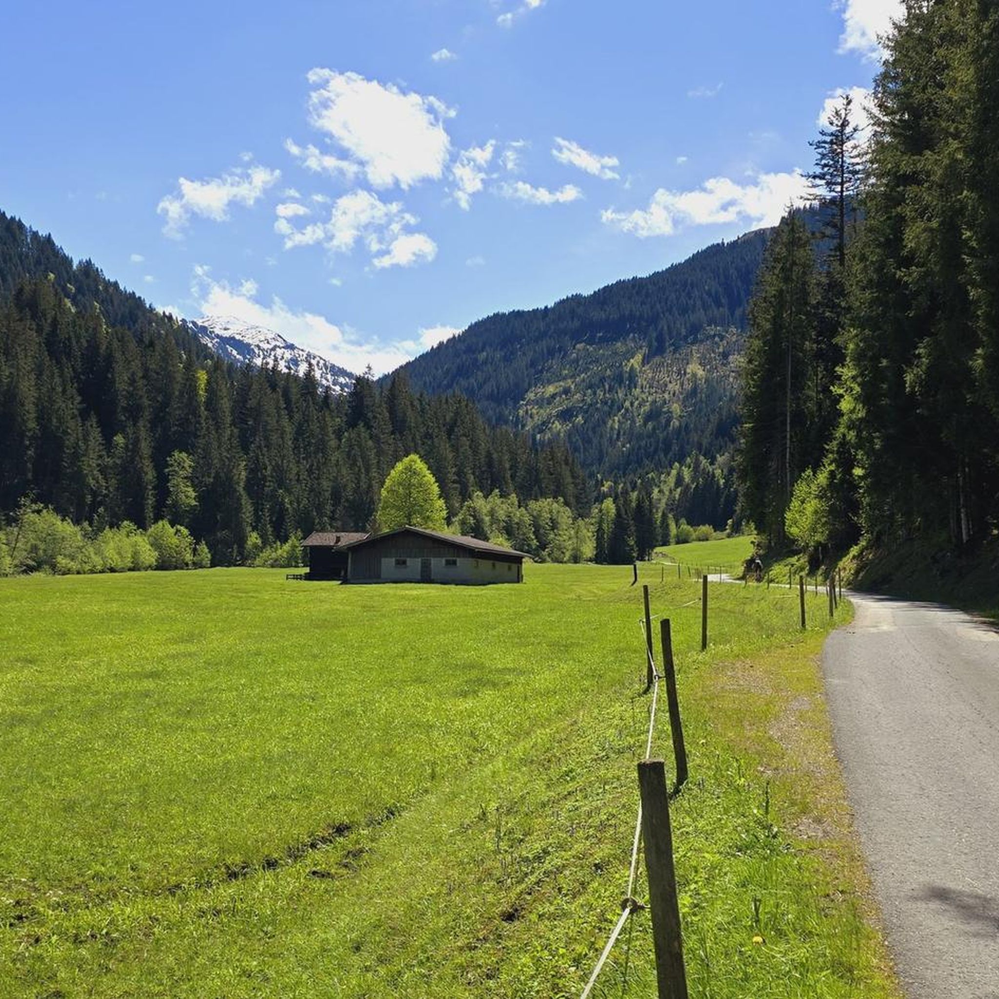
Gravel biking in Wildruhefläche Rosskar traverses a landscape characterized by varied terrain, including paths alongside waterways and routes with significant elevation gains. The region features a mix of accessible paths and more challenging climbs, with some routes reaching up to 3,000 feet in elevation. Natural features such as the Windauer Ache waterfall and panoramic viewpoints contribute to the area's appeal for gravel biking. The terrain supports diverse cycling preferences, from moderate paths to difficult ascents.
Best gravel bike trails in…
Last updated: July 3, 2026
1
riders
17.0km
01:45
620m
620m
Hard gravel ride. Very good fitness required. Mostly paved surfaces. Suitable for all skill levels.
5.0
(1)
6
riders
24.0km
02:07
760m
760m
Hard gravel ride. Very good fitness required. Mostly paved surfaces. Suitable for all skill levels.

Sign up for free
7
riders
21.0km
02:07
730m
730m
Hard gravel ride. Very good fitness required. Mostly paved surfaces. Suitable for all skill levels.
6
riders
20.8km
01:55
810m
810m
Hard gravel ride. Very good fitness required. Mostly paved surfaces. Suitable for all skill levels.
5.0
(2)
9
riders
Hard gravel ride. Very good fitness required. Mostly paved surfaces. Suitable for all skill levels.
Get access to more routes and recommendations from other explorers.
Sign up for free
Already have an account?
Our route recommendations are based on thousands of hikes, rides, and runs completed by other people on komoot.
Start today with a free account
Your next adventure awaits.
Login or Signup
Tips from the Community

The Brixentaler Ache, which originates as the Brixenbach in the municipality of Brixen im Thale, measures 28 km and flows into the Inn near Wörgl.
1
0

Very idyllic village with nice shops and restaurants!
0
0

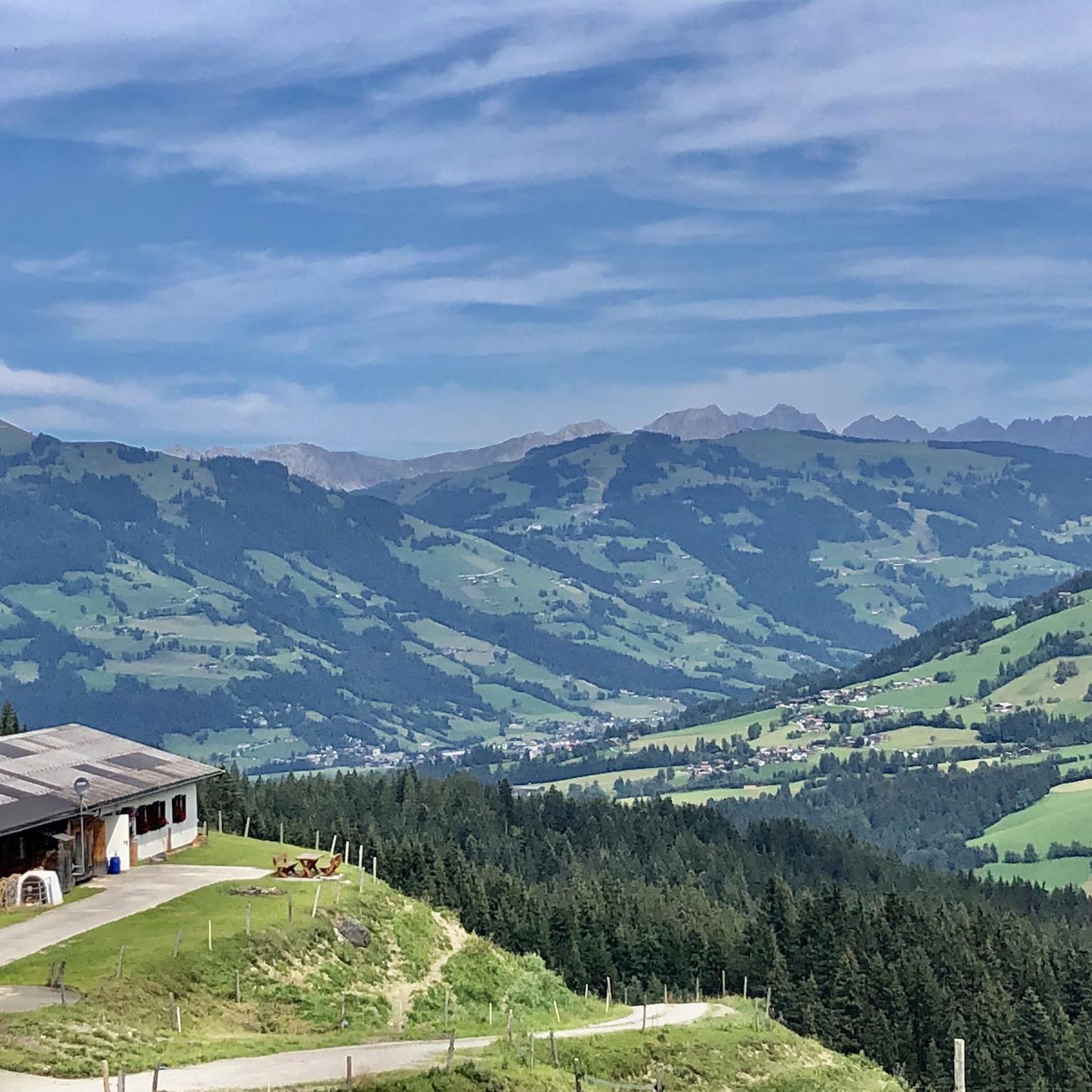
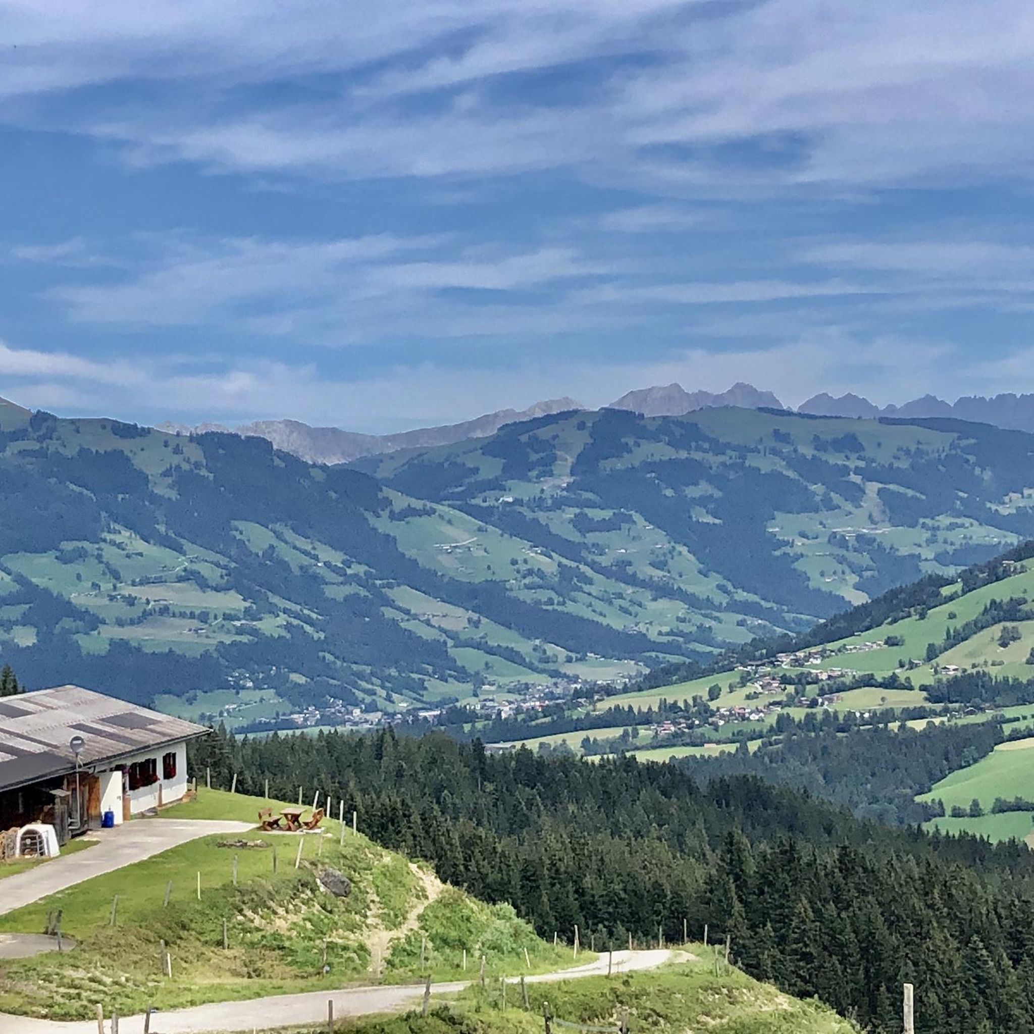
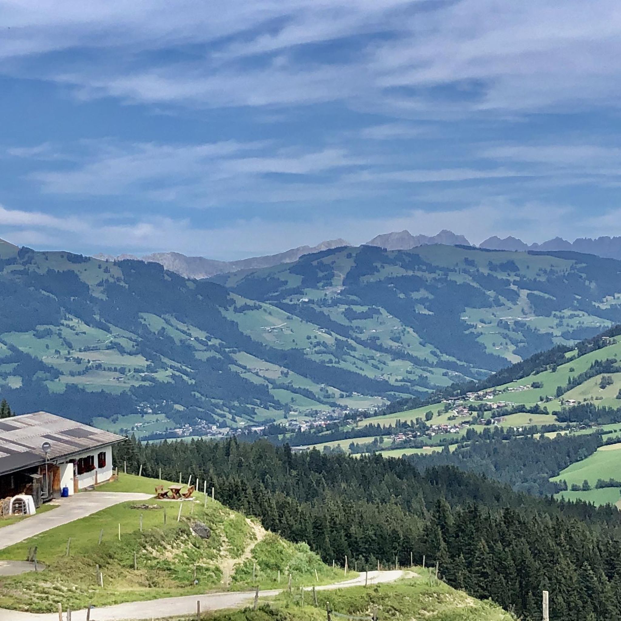
Beautiful view of the Salve, Choralpe and the Brixental, as far as the Kitzbüheler Hirn.
0
0


There is a bench at the small bridge for a break
0
0

Frequently Asked Questions
How many gravel bike trails are available in Wildruhefläche Rosskar?
Wildruhefläche Rosskar offers a selection of 11 gravel bike routes. These trails are highly rated by the komoot community, with an average score of 4.8 stars, and have been explored by over 200 gravel bikers.
What kind of terrain can I expect on gravel bike trails in Wildruhefläche Rosskar?
The region features diverse terrain, from easily accessible paths to challenging climbs with elevation gains up to 3,000 feet. You'll find a mix of paths alongside waterways and routes that demand good fitness and sure-footedness.
Are there any family-friendly gravel bike routes in Wildruhefläche Rosskar?
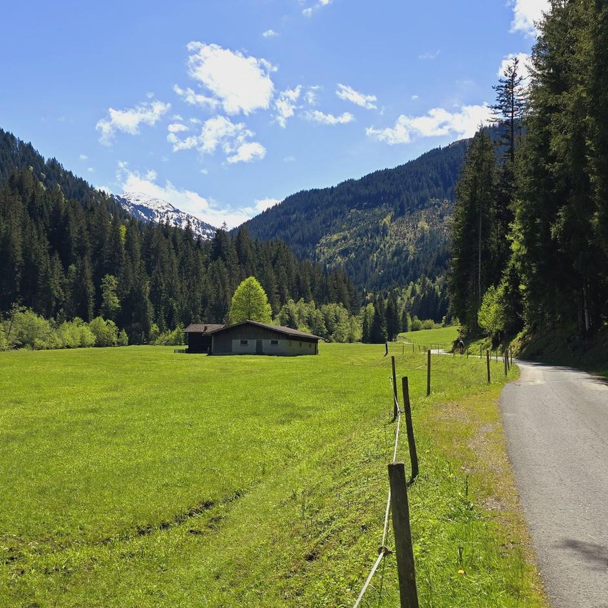
While many routes in Wildruhefläche Rosskar feature significant elevation, the Windauer Ache – Windauer Ache loop from Westendorf is a moderate 9.8-mile trail that leads through the scenic Windauer Ache valley, making it a good option for those seeking a less strenuous ride.
Can I find routes with significant elevation gain for a challenging ride?
Yes, Wildruhefläche Rosskar is known for its challenging routes. For instance, the View of the Wilder Kaiser – Penningberg Ascent loop from Kelchsau is a difficult 14.9-mile trail with over 2,490 feet of elevation gain, offering a demanding experience.
Are there any scenic viewpoints or natural attractions along the gravel trails?
Absolutely. Cyclists can enjoy "THE panorama" at locations like the Gamskogelhütte. The region also features the beautiful waterfall in the Windauer Ache, with a cycle path running alongside it, offering picturesque views. The Ruetzenhof Snack Station – View of Hohe Salve loop from Windau im Brixental also offers great views.
What is the best time of year for gravel biking in Wildruhefläche Rosskar?
The region is generally excellent for outdoor enthusiasts. While specific seasonal conditions for gravel biking aren't detailed, the diverse terrain and scenic landscapes suggest that spring through autumn would offer the most favorable weather for exploring the trails.
Are there any circular gravel bike routes available?
Yes, many of the gravel bike routes in Wildruhefläche Rosskar are designed as loops. Examples include the Käsealm Straubing – Climb from Lend to Westendorf loop from Westendorf and the Windauer Ache – Windauer Ache loop from Westendorf, allowing you to start and end at the same point.
Are there places to eat or get refreshments along the routes?
Yes, the Gamskogelhütte is noted as a popular spot for cyclists, offering local delicacies. The hotel restaurant "Steinberg" also features a pleasant outdoor terrace, providing options for refreshments during or after your ride.
What do other gravel bikers enjoy the most about gravel biking in Wildruhefläche Rosskar?
The area is highly rated by the komoot community, with an average score of 4.8 stars. Reviewers often praise the varied terrain, panoramic viewpoints, and the opportunity to ride alongside beautiful waterways, making for a diverse and engaging cycling experience.
Are there any routes that pass by the Windauer Ache waterfall?
Yes, the "beautiful waterfall in the Windauer Ache" is a highlight, and there's a cycle path running alongside it. The Windauer Ache – Windauer Ache loop from Westendorf specifically leads through this scenic valley.
What is the longest gravel bike route in the area?
One of the longer routes you can explore is the View of Hohe Salve – Windauer Ache loop from Schutzzone Gams/Steinbock (1.12. - 15.4.), which spans approximately 24.3 miles (39.1 km) and offers significant elevation changes.
Most popular routes in Wildruhefläche Rosskar

Get inspired with the komoot mobile app


Explore more
Browse the best Gravel rides in other regions.
