The best mountain hikes in Wildruhefläche Rosskar
5.0
(39)
476
hikers
25
hikes
Mountaineering routes in Wildruhefläche Rosskar traverse a landscape characterized by alpine peaks, high-altitude meadows, and forested valleys. The region offers varied terrain, from challenging ascents to more moderate paths through mountain scenery. Elevation changes are significant, providing opportunities for substantial climbs and panoramic views across the mountainous environment.
Best mountaineering routes in Wildruhefläche Rosskar
- The most popular mountaineering route is Bench with a view of Lodron loop from Schutzzone Objektschutzwald, a 11.2 miles (18.0 km) trail that takes 6…
Last updated: June 24, 2026
13
hikers
6.49km
03:06
540m
540m
Moderate mountaineering route. Good fitness required. Mostly accessible paths. Sure-footedness required.
5.0
(1)
5
hikers
14.9km
05:31
860m
860m
Hard mountaineering route. Very good fitness required. Mostly accessible paths. Sure-footedness required.

Sign up for free
21
hikers
18.6km
06:29
1,080m
1,080m
Hard mountaineering route. Very good fitness required. Easily-accessible paths. Suitable for all skill levels.
7
hikers
16.4km
06:02
1,070m
1,070m
Hard mountaineering route. Very good fitness required. Easily-accessible paths. Suitable for all skill levels.
5.0
(1)
6
hikers
5.57km
02:13
370m
370m
Moderate mountaineering route. Good fitness required. Mostly accessible paths. Sure-footedness required.
Get access to more routes and recommendations from other explorers.
Sign up for free
Already have an account?
Our route recommendations are based on thousands of hikes, rides, and runs completed by other people on komoot.
Start today with a free account
Your next adventure awaits.
Login or Signup
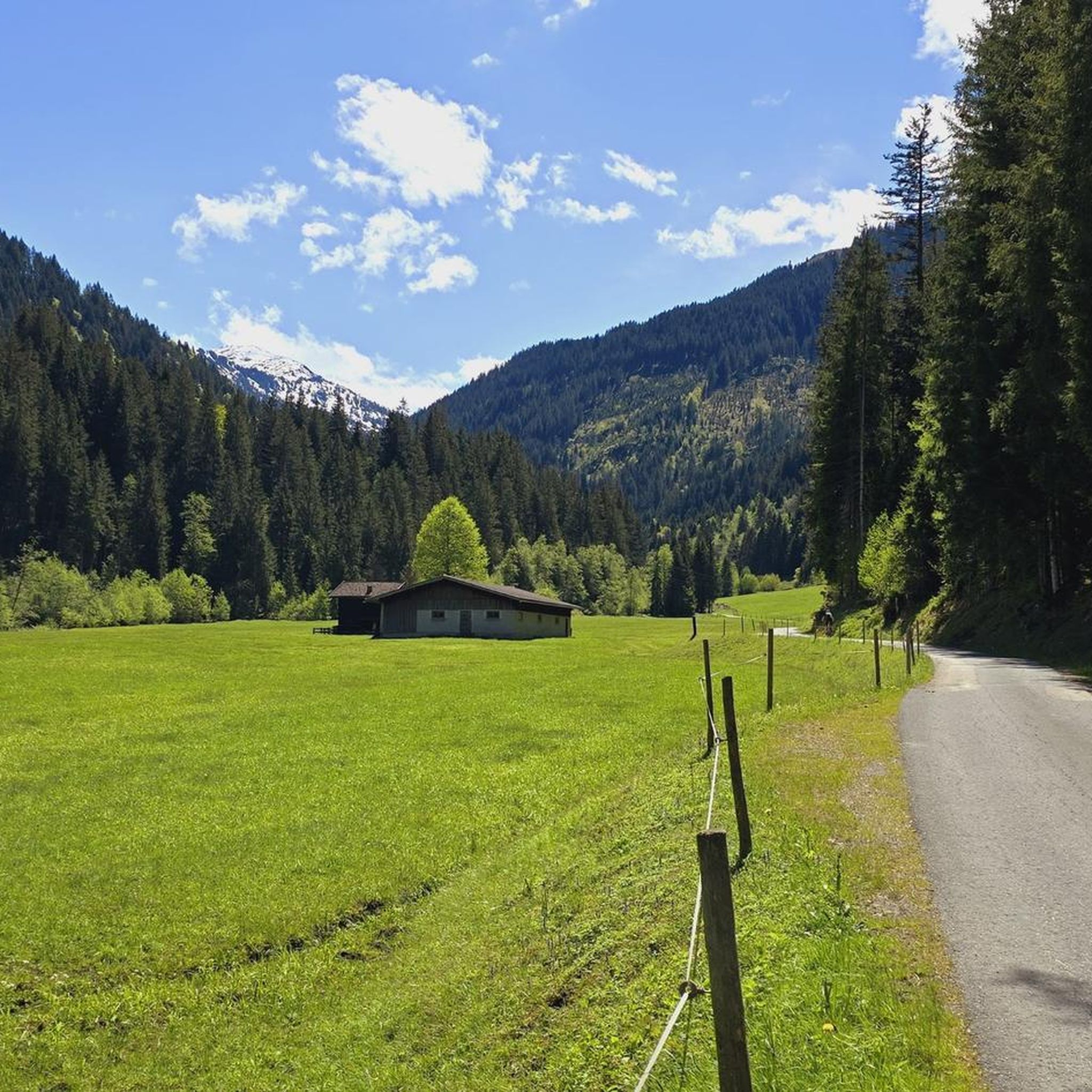
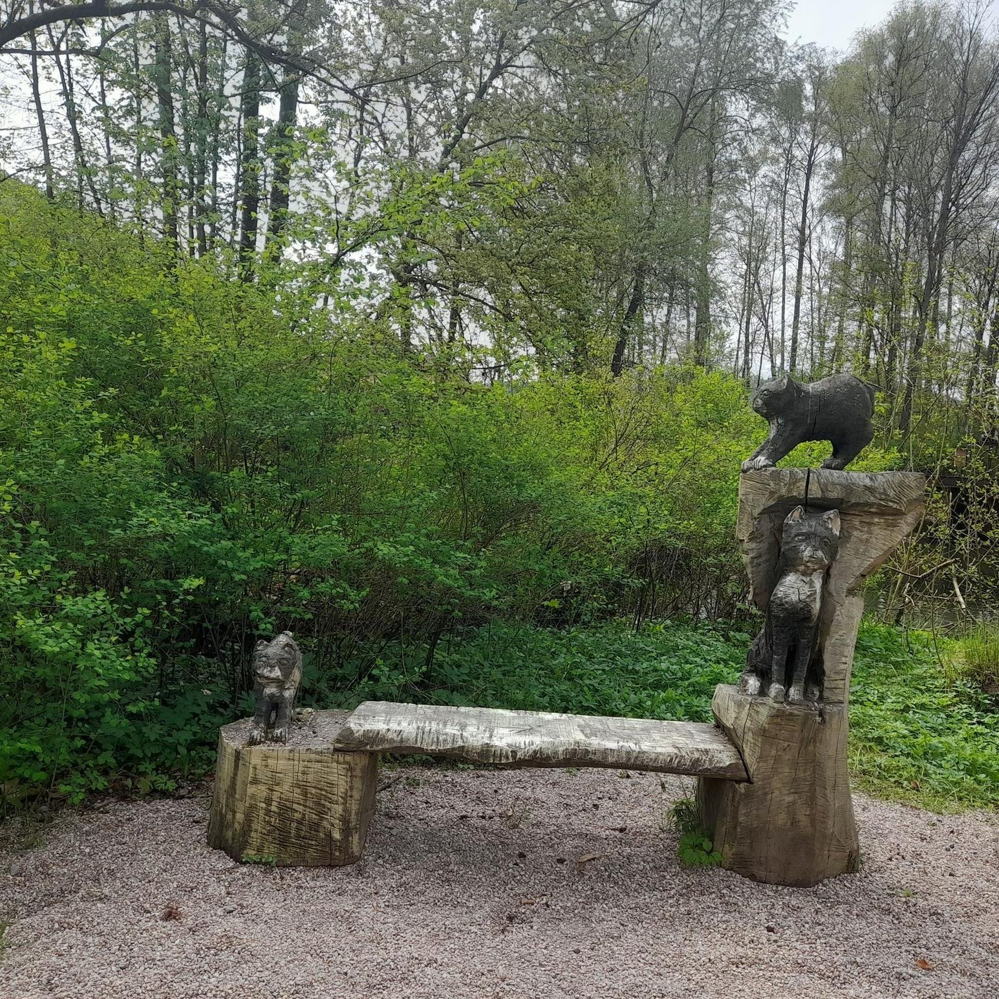
Tips from the Community

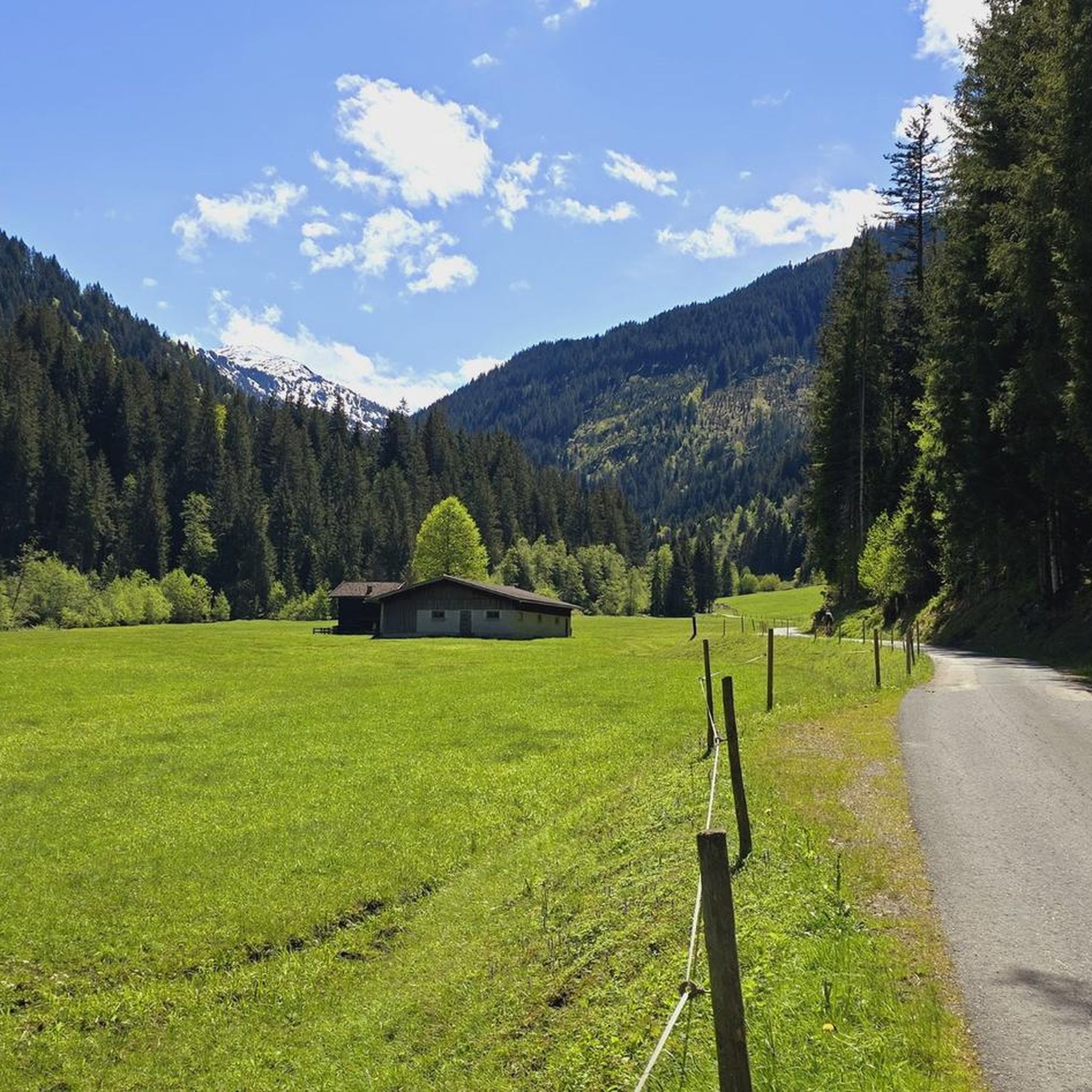
Wonderful section in the forest along a wild stream with beautiful small waterfalls.
1
0

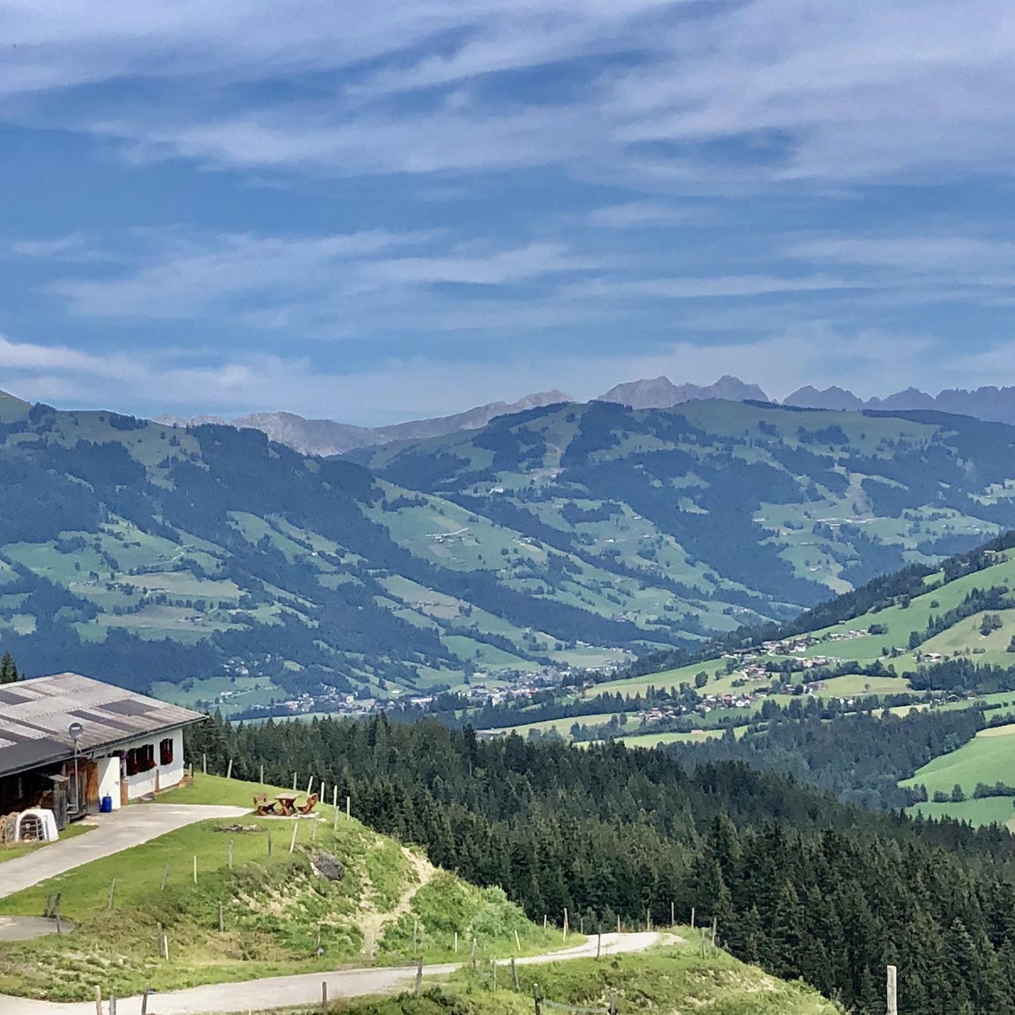
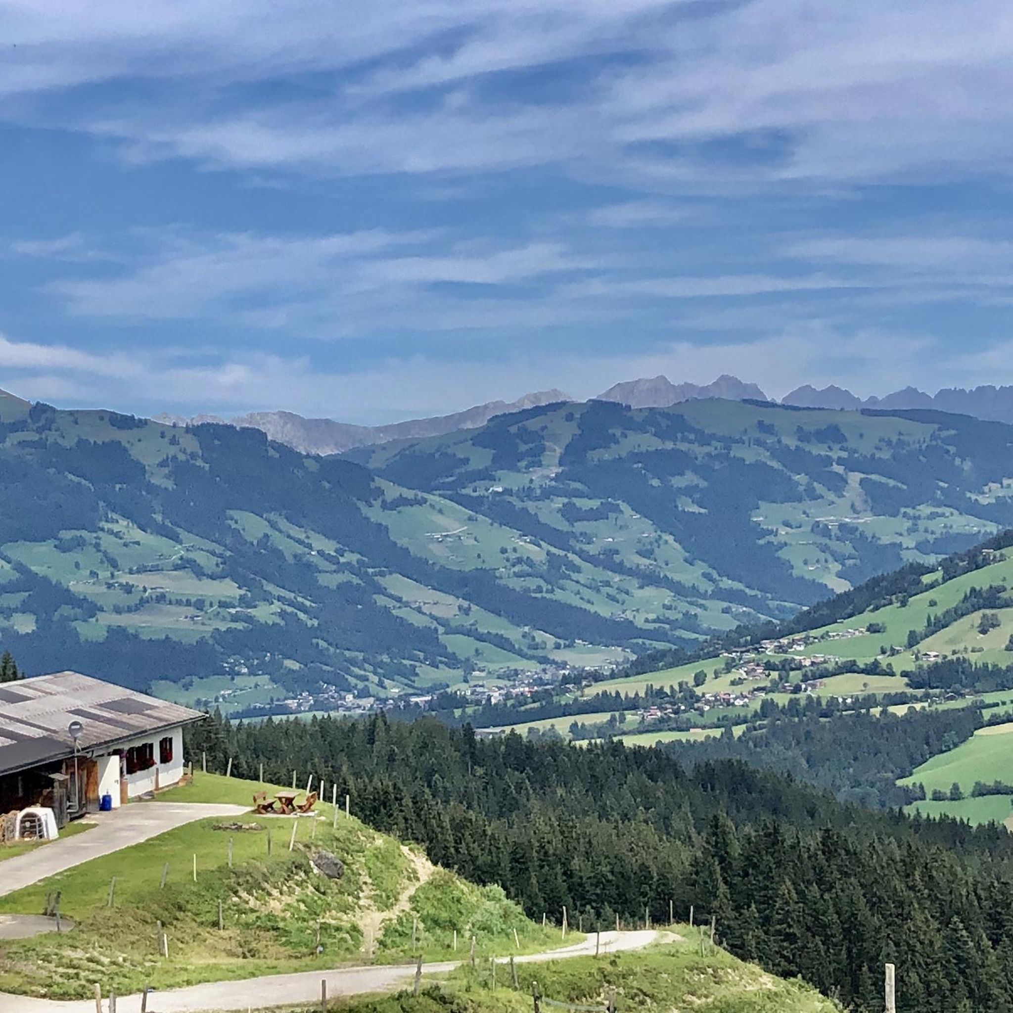
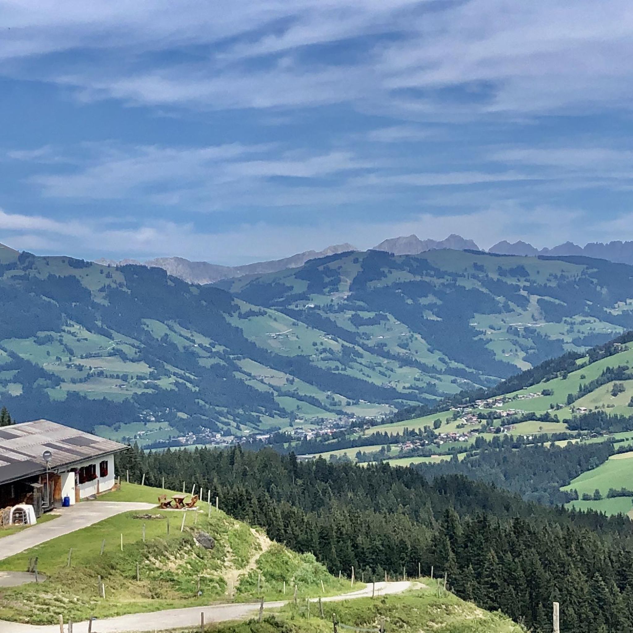
Good home cooking, large sun terrace, large playground. Located directly below the Alpenrosenbahn mountain station.
1
0
When the first rays of sunshine light up the peaks of the Kitzbühel Alps, getting up early will have been worth it and you will be rewarded with a delicious breakfast on the mountain pasture. Visit us and have breakfast on the mountain.
0
0


The Brechhorn, at 2,032 m, is one of the most popular hiking destinations around Westendorf. The many ways to celebrate the summit victory make it interesting not only for sporty people. The summit can be reached with the help of the cable car, or you can start directly in the valley.
3
0

The hut owner, Kemal, is always extremely friendly and helpful. Worth a detour👍
0
0

Frequently Asked Questions
How many mountaineering routes are available in Wildruhefläche Rosskar?
Wildruhefläche Rosskar offers a diverse selection of over 30 mountaineering routes. These range from moderate to difficult, providing options for various skill levels.
What is the general difficulty level of mountaineering routes in Wildruhefläche Rosskar?
The majority of mountaineering routes in Wildruhefläche Rosskar are classified as difficult, with 23 such trails. There are also 10 moderate routes available for those seeking a less strenuous experience. No easy routes are listed.
Are there any circular mountaineering routes in Wildruhefläche Rosskar?
Yes, Wildruhefläche Rosskar features several excellent circular routes. For a challenging option, consider the Bench with a view of Lodron loop from Schutzzone Objektschutzwald, which is 11.2 miles (18.0 km) long and typically takes over 6 hours. A moderate circular route is the Mountaineering loop from Schutzzone Objektschutzwald, covering 4.0 miles (6.5 km) in about 3 hours.
What are some of the longer and more challenging mountaineering routes?
For experienced mountaineers seeking a significant challenge, the Kröndlhorn Summit – Reinkarsee loop from Schutzzone Birkhuhn/Auerhuhn is a demanding option. This difficult route spans 14.4 miles (23.2 km) and involves over 1100 meters of elevation gain, typically requiring more than 7 hours to complete.
What is the best season for mountaineering in Wildruhefläche Rosskar?
Given the alpine nature of Wildruhefläche Rosskar, the best season for mountaineering is typically from late spring through early autumn (June to September). During these months, trails are generally free of snow, and weather conditions are more stable, offering the best opportunities for panoramic views and safe passage. Always check local weather forecasts before heading out.
What should I wear for mountaineering in Wildruhefläche Rosskar?
Due to significant elevation changes and unpredictable alpine weather, it's crucial to dress in layers. Essential gear includes sturdy hiking boots with good ankle support, moisture-wicking base layers, insulating mid-layers, and waterproof and windproof outer shells. Don't forget sun protection, a hat, gloves, and plenty of water.
Are there any routes that offer particularly expansive views?
Many routes in Wildruhefläche Rosskar provide stunning vistas. The Markkirchl at Salzachjoch – Nadernachjoch loop from Schutzzone Objektschutzwald is a difficult 10.5-mile (17.0 km) path that traverses high alpine passes, offering expansive views across the mountainous environment.
What do other mountaineers say about the routes in Wildruhefläche Rosskar?
The mountaineering routes in Wildruhefläche Rosskar are highly regarded by the komoot community, boasting an average rating of 5.0 stars from over 50 reviews. Mountaineers frequently praise the varied terrain, significant elevation gains, and the rewarding panoramic views.
Are there any routes that pass by a lake or water feature?
Yes, the Kreuzjöchlsee – Brechhornhaus 1700 m loop from Mittelstation is a difficult 9.2-mile (14.8 km) route that includes the scenic Kreuzjöchlsee, offering beautiful lakeside views as part of the mountaineering experience.
Are there any beginner-friendly mountaineering routes in Wildruhefläche Rosskar?
While most routes are moderate to difficult, beginners with some hiking experience can consider the moderate routes. The Mountaineering loop from Schutzzone Objektschutzwald is a good starting point, being shorter at 4.0 miles (6.5 km) and taking around 3 hours.
Is parking available near the trailheads in Wildruhefläche Rosskar?
Specific parking information varies by trailhead. Many routes, such as those starting from Schutzzone Objektschutzwald, typically have designated parking areas nearby. It's always recommended to check the individual route details on komoot for precise parking locations and any potential fees before your trip.
Most popular routes in Wildruhefläche Rosskar

Get inspired with the komoot mobile app


Explore more
Browse the best Mountain Hikes & Routes in other regions.
