The best road cycling routes around Kaltenwestheim
4.7
(168)
1,767
riders
138
rides
Road cycling around Kaltenwestheim, situated within the UNESCO Rhön Biosphere Reserve, features a diverse volcanic landscape with rolling hills, expansive plateaus, and picturesque river valleys. The region offers an extensive network of mostly paved routes, providing varied terrain for cyclists. This area is known for its "land of endless horizons," offering panoramic vistas across its distinctive geological formations.
Best road cycling routes around Kaltenwestheim
- The most popular road cycling route is Feldabahn Cycle Path – View of Kaltennordheim loop from…
Last updated: July 6, 2026
5.0
(4)
40
riders
42.9km
01:58
460m
460m
Moderate road ride. Good fitness required. Mostly well-paved surfaces and easy to ride.
10
riders
61.2km
03:08
860m
860m
Moderate road ride. Good fitness required. Mostly well-paved surfaces and easy to ride.

Sign up for free
5.0
(1)
9
riders
60.3km
03:04
980m
980m
Hard road ride. Very good fitness required. Mostly well-paved surfaces and easy to ride.
7
riders
38.5km
01:56
550m
550m
Moderate road ride. Good fitness required. Some segments of this route may be unpaved and difficult to ride.
6
riders
43.2km
02:08
630m
630m
Moderate road ride. Good fitness required. Mostly well-paved surfaces and easy to ride.
Get access to more routes and recommendations from other explorers.
Sign up for free
Already have an account?
Our route recommendations are based on thousands of hikes, rides, and runs completed by other people on komoot.
Start today with a free account
Your next adventure awaits.
Login or Signup
Popular around Kaltenwestheim



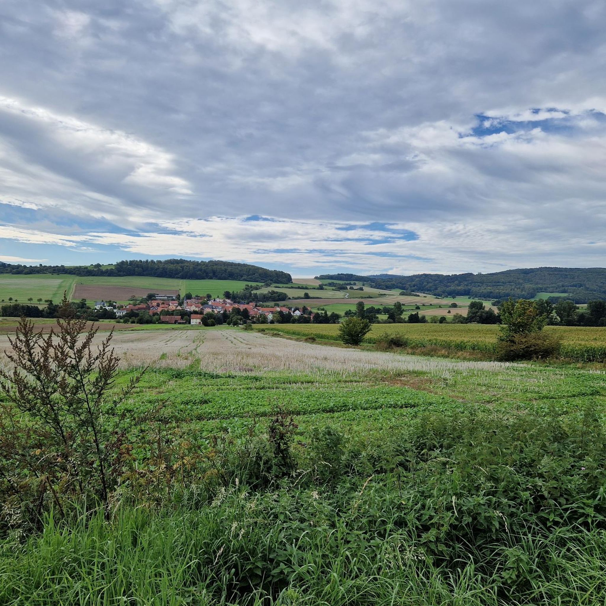
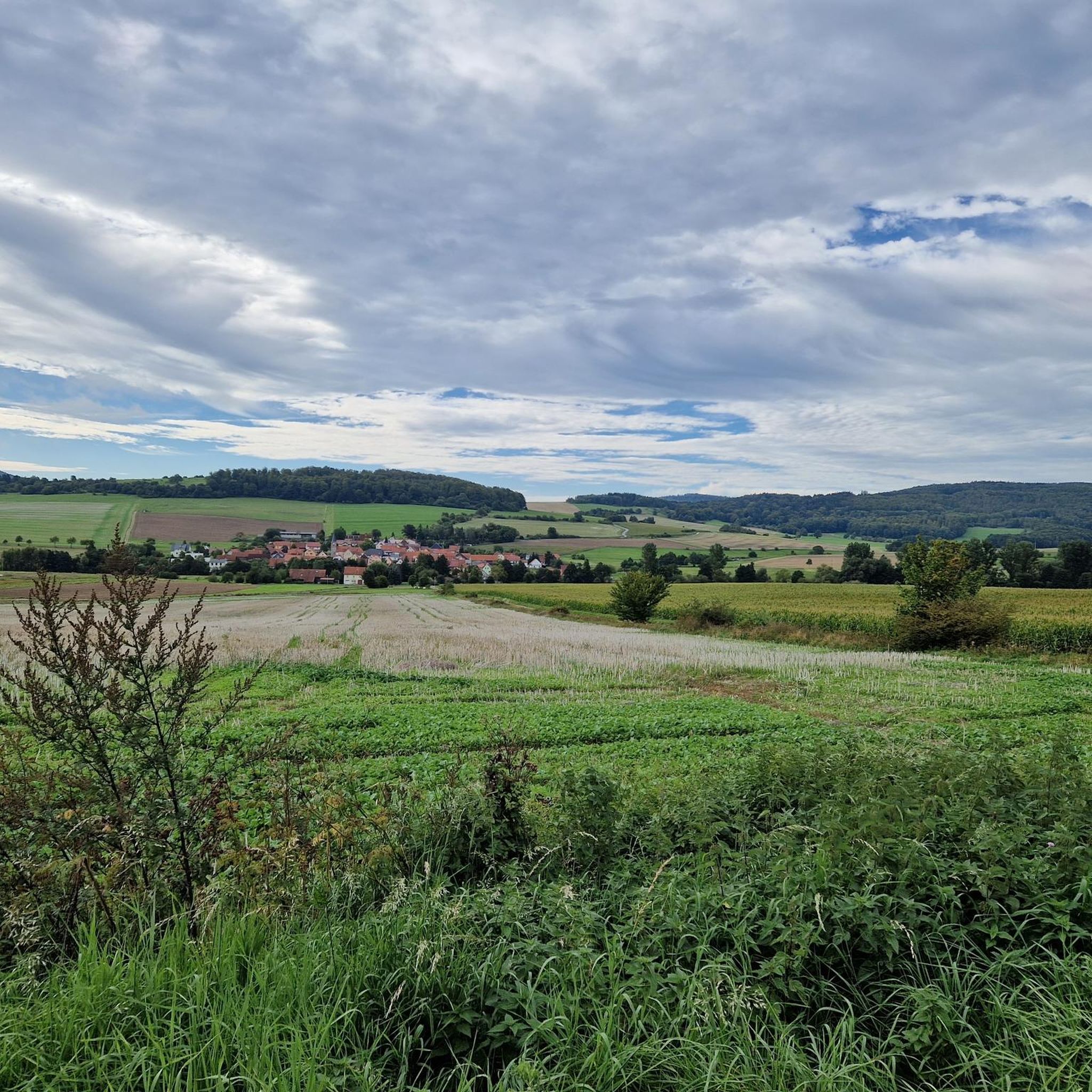
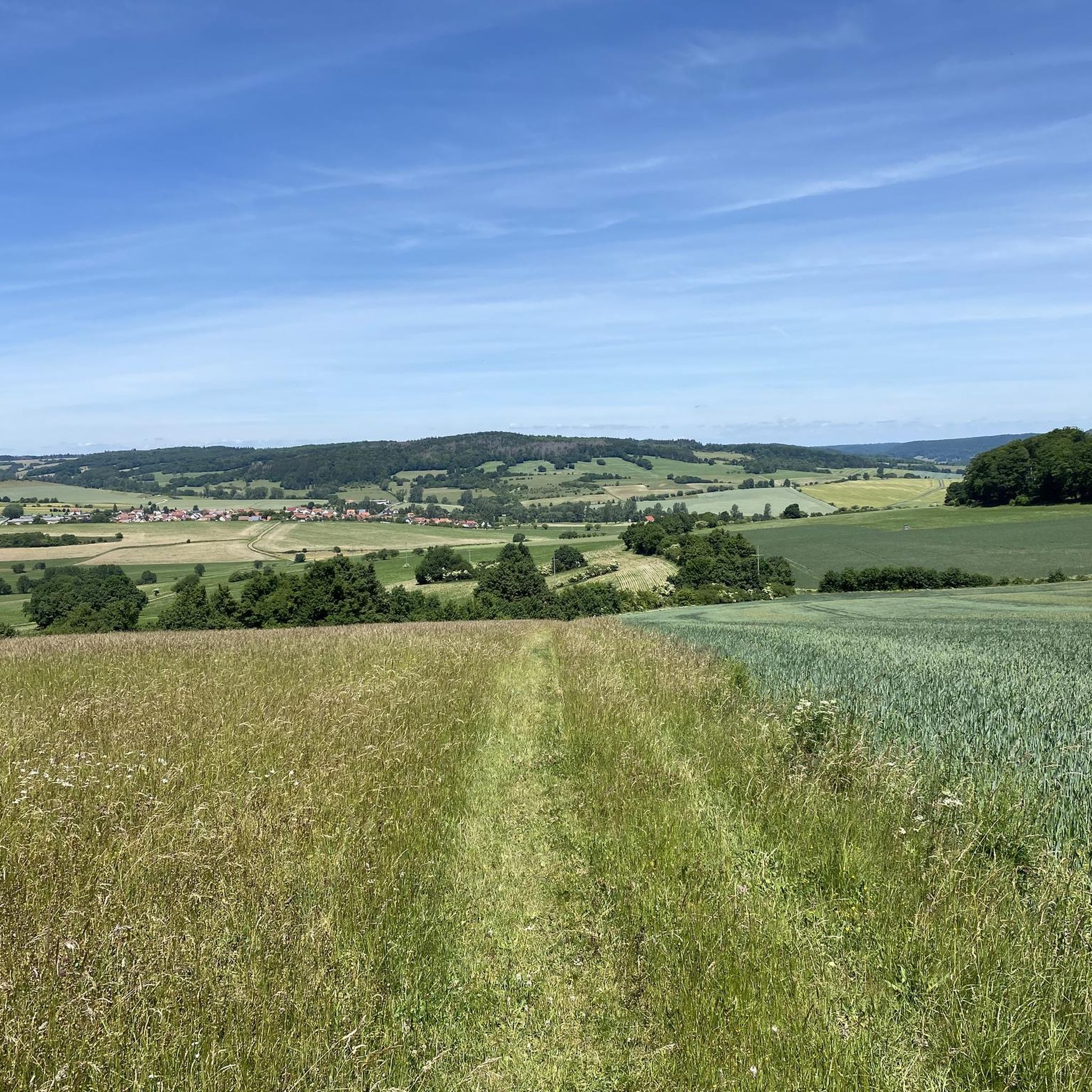
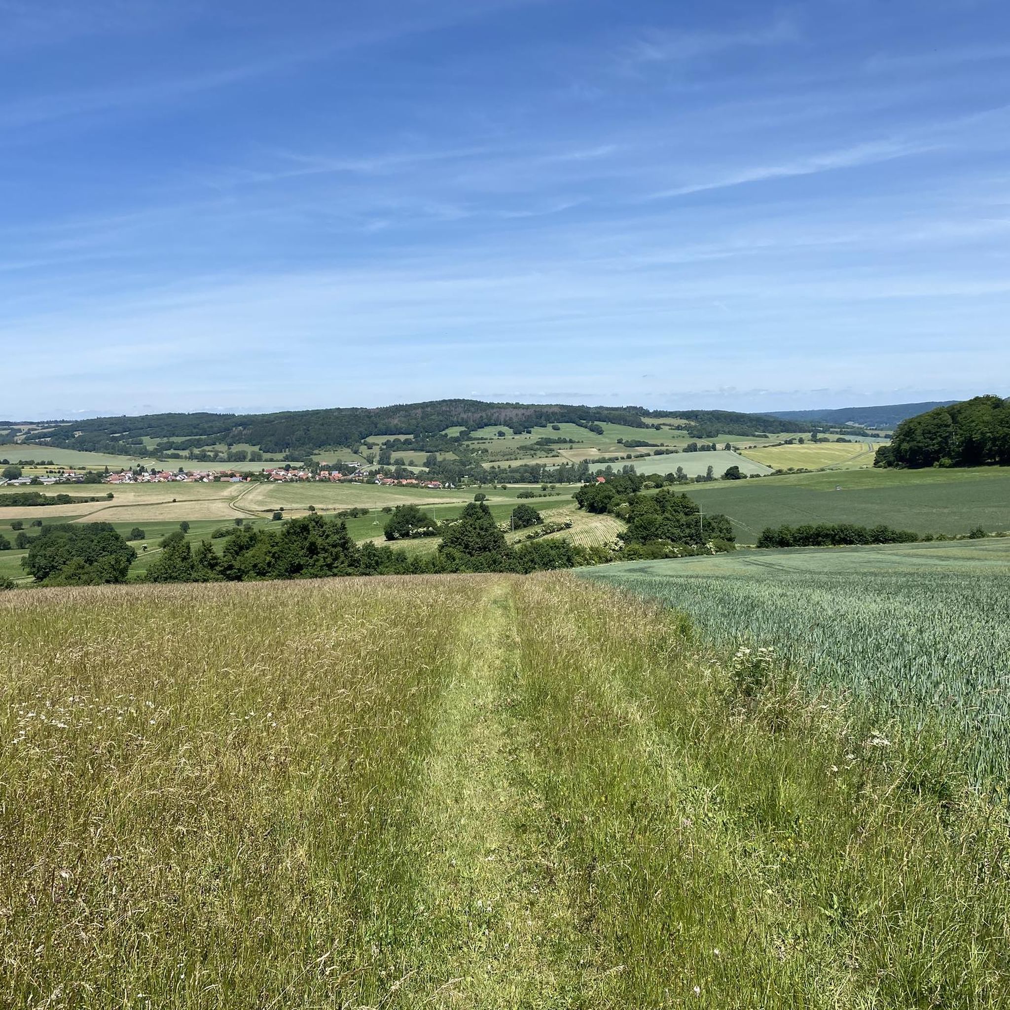


Tips from the Community

Very steep climb, consistently between 15 and 18%. Currently also part of the Rhön Radmarathon route
0
0

The northernmost inn in Bavaria. Very good, traditional cuisine.
0
0

Water feature in Neidhartsha🏞🎡
0
0


Zur Weimarschmiede - The rustic, cozy inn has space for up to 35 guests and when the weather is nice, the shady beer garden is open with a further 30 seats. Hikers, cyclists, bikers and even your dog are very welcome. A weekly changing menu has many delicacies on offer, and rooms can also be rented (Info Zur Weimarschmiede, where you can also find the opening times)
0
0

Very nice town hall in Geisa Absolutely worth seeing
1
0

The original building may have been a half-timbered structure. A stone in the courtyard wall of the town hall garage bears the year 1663.
4
0
Frequently Asked Questions
How many road cycling routes are available around Kaltenwestheim?
Kaltenwestheim offers a wide selection of road cycling routes, with over 130 options available. These routes cater to various skill levels, including easy, moderate, and challenging rides through the diverse Rhön landscape.
What kind of terrain can I expect when road cycling in Kaltenwestheim?
The region around Kaltenwestheim, nestled in the UNESCO Rhön Biosphere Reserve, features a unique volcanic landscape. You'll encounter a mix of rolling hills, expansive plateaus, and picturesque river valleys. Routes are predominantly on paved surfaces, offering smooth riding conditions, though some segments might include occasional unpaved or cobblestone sections.
Are there routes suitable for beginners or less experienced road cyclists?
Yes, Kaltenwestheim offers several road cycling routes suitable for beginners. There are 9 easy routes available, providing a gentler introduction to the region's scenic beauty without overly demanding climbs. These routes often follow river valleys, offering a more leisurely experience.
What are some challenging road cycling routes around Kaltenwestheim?
For those seeking a challenge, there are 56 difficult road cycling routes around Kaltenwestheim. These often involve significant elevation gains through the volcanic hills. An example of a challenging route is the M. Uehling Stiege – Tann Town Gate loop from Kaltenwestheim, which covers 37.3 miles (60.0 km) with considerable ascent.
Are there any circular road cycling routes in the Kaltenwestheim area?
Many of the road cycling routes around Kaltenwestheim are designed as loops, allowing you to start and finish in the same location. For instance, the popular Feldabahn Cycle Path – View of Kaltennordheim loop from Hohe Rhön is a 26.7-mile (42.9 km) circular route offering scenic views.
What natural features or landmarks can I see along road cycling routes near Kaltenwestheim?
Road cycling routes in the area often pass by significant natural attractions. You can explore the unique ecosystem of the Schwarzes Moor Nature Trail, one of Germany's best-preserved raised bogs, or discover the Great Moor Eye (Black Moor). The region's volcanic origins also mean sweeping meadows and pristine beech forests provide a constantly changing backdrop.
Are there any waterfalls accessible from the road cycling routes?
Yes, you can find waterfalls near some of the road cycling routes. Notable examples include the Basalt Lake Waterfall and the Eisgraben Waterfall, which offer picturesque stops during your ride.
Is public transport available for cyclists in Kaltenwestheim?
While Kaltenwestheim is well-suited for self-guided cycling, specific public transport options for carrying bikes directly to trailheads may be limited. It's advisable to check local bus or train services for their bike transport policies if you plan to use public transport to reach your starting point.
Where can I find parking for road cycling routes in Kaltenwestheim?
Kaltenwestheim and surrounding towns typically offer public parking facilities. Many routes, especially those starting from the town, will have accessible parking nearby. It's recommended to check specific starting points for designated cyclist parking areas, which are often available in larger villages or near popular trailheads.
Can I find places to eat or drink along the road cycling routes?
Yes, the Rhön region has numerous villages and towns along its cycling routes where you can find cafes, pubs, and restaurants. These provide excellent opportunities for a break, a meal, or to refill water bottles. Planning your route with potential stops in mind will enhance your cycling experience.
What do other road cyclists say about the routes in Kaltenwestheim?
The road cycling routes around Kaltenwestheim are highly regarded by the komoot community, boasting an average rating of 4.7 stars from over 160 reviews. Cyclists often praise the region's stunning panoramic views, the well-maintained paved surfaces, and the diverse terrain that caters to various fitness levels.
What is the Hochrhönstraße and is it suitable for road cycling?
The Hochrhönstraße is a renowned panoramic road within the wider Rhön region, celebrated for its magnificent views and well-maintained surface. It's highly suitable for road cycling, offering long stretches at altitude that allow cyclists to fully immerse themselves in the 'land of endless horizons.' While not directly starting in Kaltenwestheim, it's a key feature of the Rhön that many cyclists aim to experience.
Does the Rhön Cycleway pass through or near Kaltenwestheim, and is it suitable for road bikes?
The 180-kilometer Rhön Cycleway winds through the biosphere reserve, connecting various towns and natural highlights. Sections of this long-distance path are indeed suitable for road bikes, featuring mostly tarmacked paths and quiet roads. While some segments might include unpaved paths, many parts offer excellent road cycling opportunities through wide valleys and along rivers.
Most popular routes around Kaltenwestheim
Most popular attractions around Kaltenwestheim

Get inspired with the komoot mobile app


Explore more
Browse the best Road cycling routes in other regions.
