The best MTB trails around Kaltenwestheim
4.7
(609)
1,802
riders
34
rides
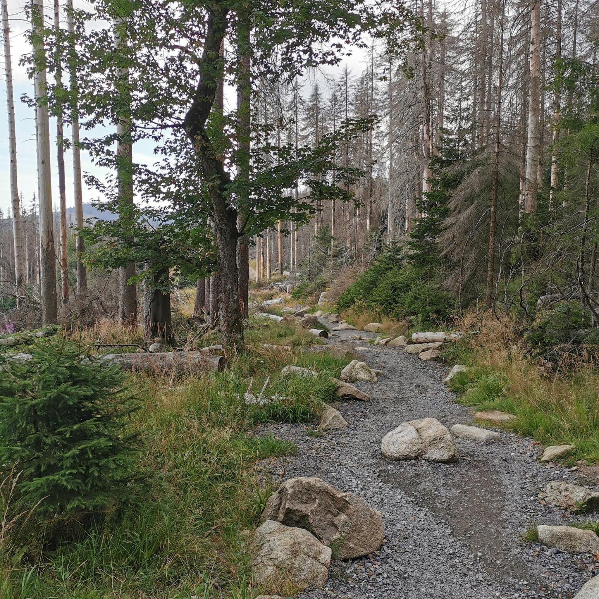
Mountain biking around Kaltenwestheim offers access to the diverse landscapes of the UNESCO Rhön Biosphere Reserve. The region is characterized by a mix of lush green mountain meadows, basalt rock formations, and primeval forests, providing varied terrain for mountain bike trails. Its location within the Rhön Mountains, known for their largely woodless volcanic peaks, allows for extensive views across the landscape. River valleys and former railway lines also contribute to the network of cycling paths.
Best mountain bike trails around…
Last updated: July 5, 2026
5.0
(6)
22
riders
64.5km
05:22
1,300m
1,300m
Hard mountain bike ride. Very good fitness required. Advanced riding skills necessary. Some portions of the route may require you to push your bike.
4.9
(14)
29
riders
34.4km
02:34
480m
480m
Moderate mountain bike ride. Good fitness required. Suitable for all skill levels.

Sign up for free
5.0
(4)
12
riders
26.3km
01:57
380m
380m
Moderate mountain bike ride. Good fitness required. Suitable for all skill levels.
5.0
(1)
6
riders
34.0km
02:38
670m
670m
Moderate mountain bike ride. Good fitness required. Advanced riding skills necessary.
4.8
(4)
8
riders
29.1km
02:08
400m
400m
Moderate mountain bike ride. Good fitness required. Suitable for all skill levels.
Get access to more routes and recommendations from other explorers.
Sign up for free
Already have an account?
Our route recommendations are based on thousands of hikes, rides, and runs completed by other people on komoot.
Start today with a free account
Your next adventure awaits.
Login or Signup
Popular around Kaltenwestheim



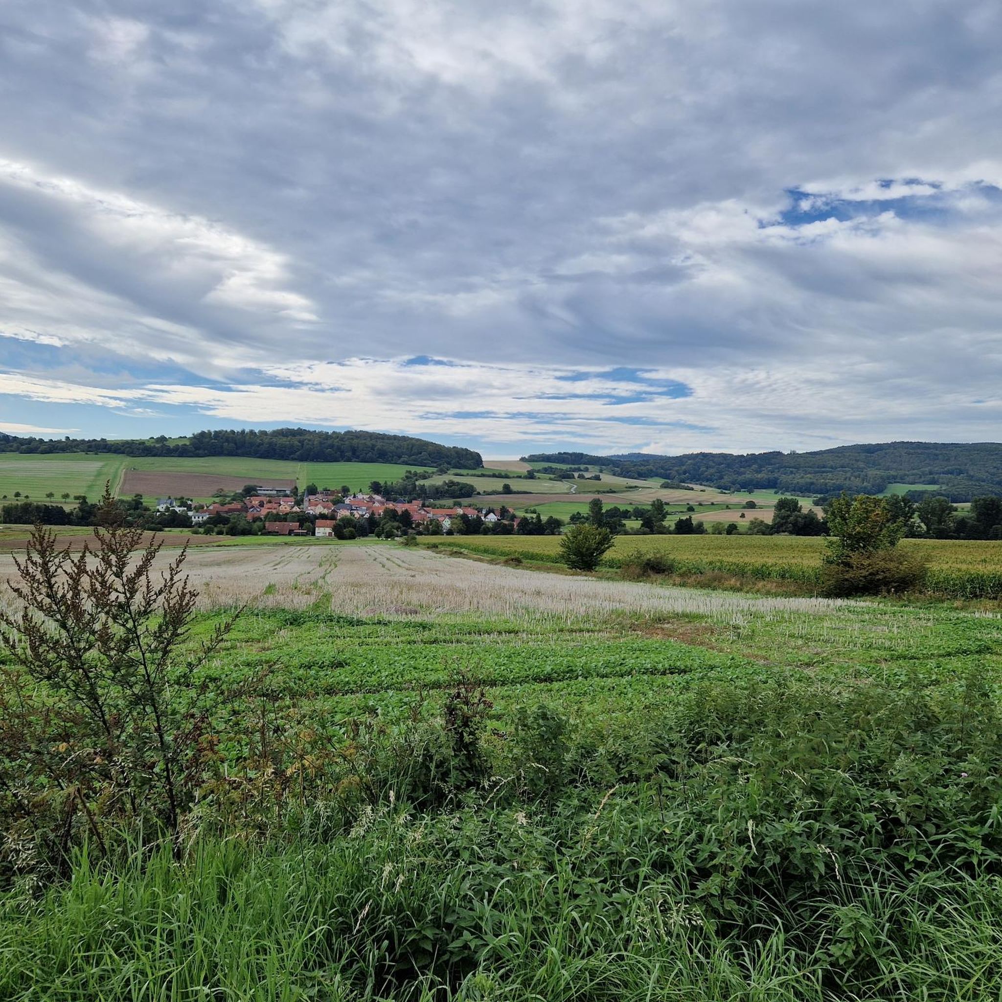
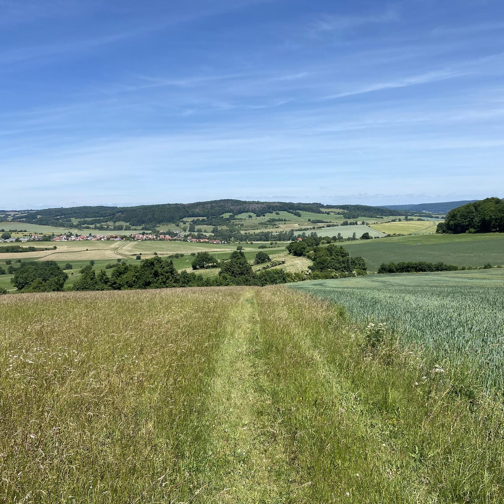
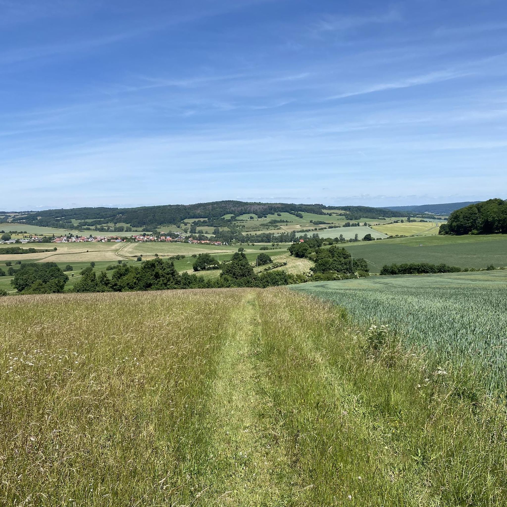
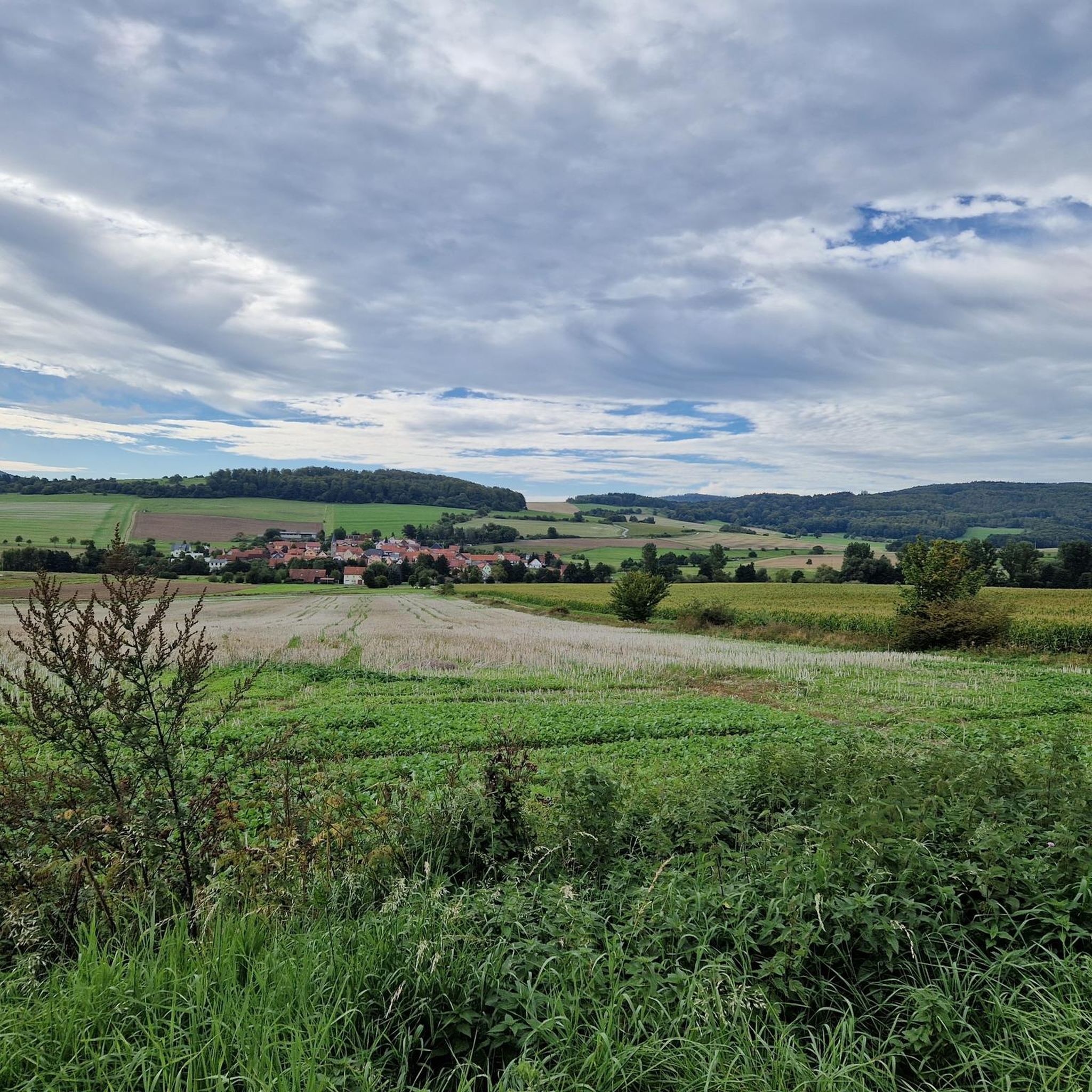


Tips from the Community


Magnificent panorama with a touch of Tuscany.
1
0
Planet trail with beautiful information boards
1
0


Another nice resting place
1
0
Beautiful refuge for resting on the Hochrhöner between Tann and Kaltennordheim
1
0
Frequently Asked Questions
How many mountain bike trails are available around Kaltenwestheim?
There are over 30 mountain bike trails around Kaltenwestheim listed on komoot, offering a variety of options for different skill levels. The region is part of the UNESCO Rhön Biosphere Reserve, providing diverse landscapes for exploration.
What are the typical difficulty levels for mountain biking in this area?
The trails around Kaltenwestheim cater to a range of abilities. Most routes are classified as moderate, with 29 moderate trails available. There are also 3 easy trails for beginners and 1 difficult trail for more experienced riders. The terrain often features rolling hills, open meadows, and forest sections.
Are there any mountain bike trails that offer panoramic views?
Yes, many trails in the Rhön region are known for their panoramic views due to the largely woodless volcanic mountains. For example, the View of Kaltennordheim – Hohe Asch Summit loop from Kaltenwestheim offers extensive vistas from the Hohe Asch Summit. The Hohe Geba, a popular excursion mountain at 751 meters, also provides magnificent views across the Rhön.
What kind of natural features can I expect to see on the trails?
The Rhön Biosphere Reserve is rich in diverse natural features. You can encounter lush green mountain meadows, dramatic basalt rock formations, and pristine primeval forests. Notable natural attractions include the Schwarzes Moor Nature Trail and the Great Moor Eye (Black Moor). Some routes, like the Black Moor – Singletrack at Eisenacher Haus loop from Hohe Rhön, lead directly through these unique landscapes.
Are there any trails suitable for families with children?
While many trails in the Rhön are moderate, there are easier options that might be suitable for families. The region's network includes paths along former railway lines and river valleys, which tend to be less challenging. For a relatively easy ride, consider the Tuscany of the Rhön – Fields Near Kaltensundheim loop from Hohe Rhön.
Can I bring my dog on the mountain bike trails around Kaltenwestheim?
Generally, dogs are welcome on trails in the Rhön region, but it's important to keep them on a leash, especially within the UNESCO Rhön Biosphere Reserve, to protect wildlife and ensure the safety of other trail users. Always check local signage for specific regulations on individual routes or protected areas.
What do other mountain bikers enjoy most about the trails in Kaltenwestheim?
The mountain biking experience around Kaltenwestheim is highly rated by the komoot community, with an average score of 4.8 stars from over 700 reviews. Riders often praise the varied terrain, which includes rolling hills, open meadows, and engaging singletrack sections, as well as the extensive views across the Rhön landscape.
Are there any circular mountain bike routes starting near Kaltenwestheim?
Yes, many of the mountain bike trails around Kaltenwestheim are designed as loops. For instance, the Singletrack at Eisenacher Haus – Buchschirmkreuz loop from Kaltenwestheim is a popular circular route that includes singletrack sections.
What is the best time of year for mountain biking in Kaltenwestheim?
The warmer months, typically from spring to autumn, are ideal for mountain biking in Kaltenwestheim and the Rhön region. During this period, the weather is generally pleasant, and the trails are in good condition. The diverse ecosystems and lush landscapes are particularly vibrant during these seasons.
Are there any waterfalls or lakes accessible by mountain bike?
Yes, the area features several natural water bodies. You can find the Basalt Lake Waterfall and the Eisgraben Waterfall nearby. The Gänskutte Pond and Picnic Area and the Grimmelbach Reservoir are also accessible, offering scenic spots to visit during your ride.
What kind of terrain can I expect on the mountain bike trails?
Mountain biking around Kaltenwestheim is characterized by a mix of terrain. You'll encounter rolling hills, open meadows, and sections of forest trails. The region's volcanic origins mean there are also basalt rock formations, adding to the varied landscape. Some routes feature engaging singletrack sections, providing a dynamic riding experience.
Are there any specific regulations for mountain biking within the Rhön Biosphere Reserve?
As Kaltenwestheim is located within the UNESCO Rhön Biosphere Reserve, riders should adhere to general rules for protected areas. This includes staying on marked trails, respecting wildlife, and avoiding littering. Always check for specific local regulations or temporary closures, especially in core protection zones, to ensure sustainable enjoyment of the natural environment.
Most popular routes around Kaltenwestheim
Most popular attractions around Kaltenwestheim

Get inspired with the komoot mobile app


Explore more
Browse the best MTB trails in other regions.
